
Route · SC
Rota da Baleia Franca
Garopaba, Imbituba and Laguna on a trip along the coast, with onshore whale watching during the season.
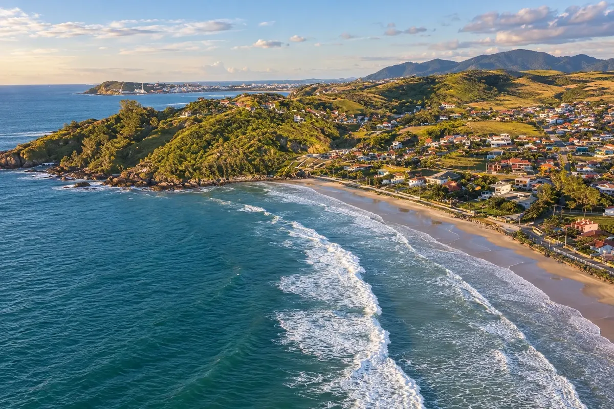
In the photo: Praia da Ribanceira, in Imbituba, on the Rota da Baleia Franca.
Illustrative images. The pictures in this guide are illustrations based on the real place, not photographs, and may differ from it.

The route
What the Rota da Baleia Franca is
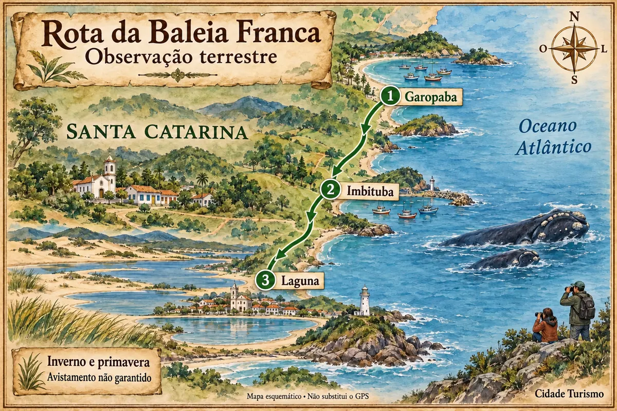
The Rota da Baleia Franca links three municipalities on the Santa Catarina coast in a route of beaches, heritage and sea observation from shore. Garopaba, Imbituba and Laguna make up the chosen tourist section, with road transfers between towns and separate walks to permitted coastal points.
In winter and spring, females and calves may appear in the coves, but no excursion guarantees finding them. Museums, churches and the historic houses add substance to days when visibility or the animals' presence do not favor observation. The route does not include boat trips nor does it represent the long-distance trail of a similar name.
The map
3 cities along the way
Mapa: @svg-maps/brazil, CC BY 4.0
The journey
City by city
Distances and times are approximate: check before you set off.
-
 1 · SC
Garopaba
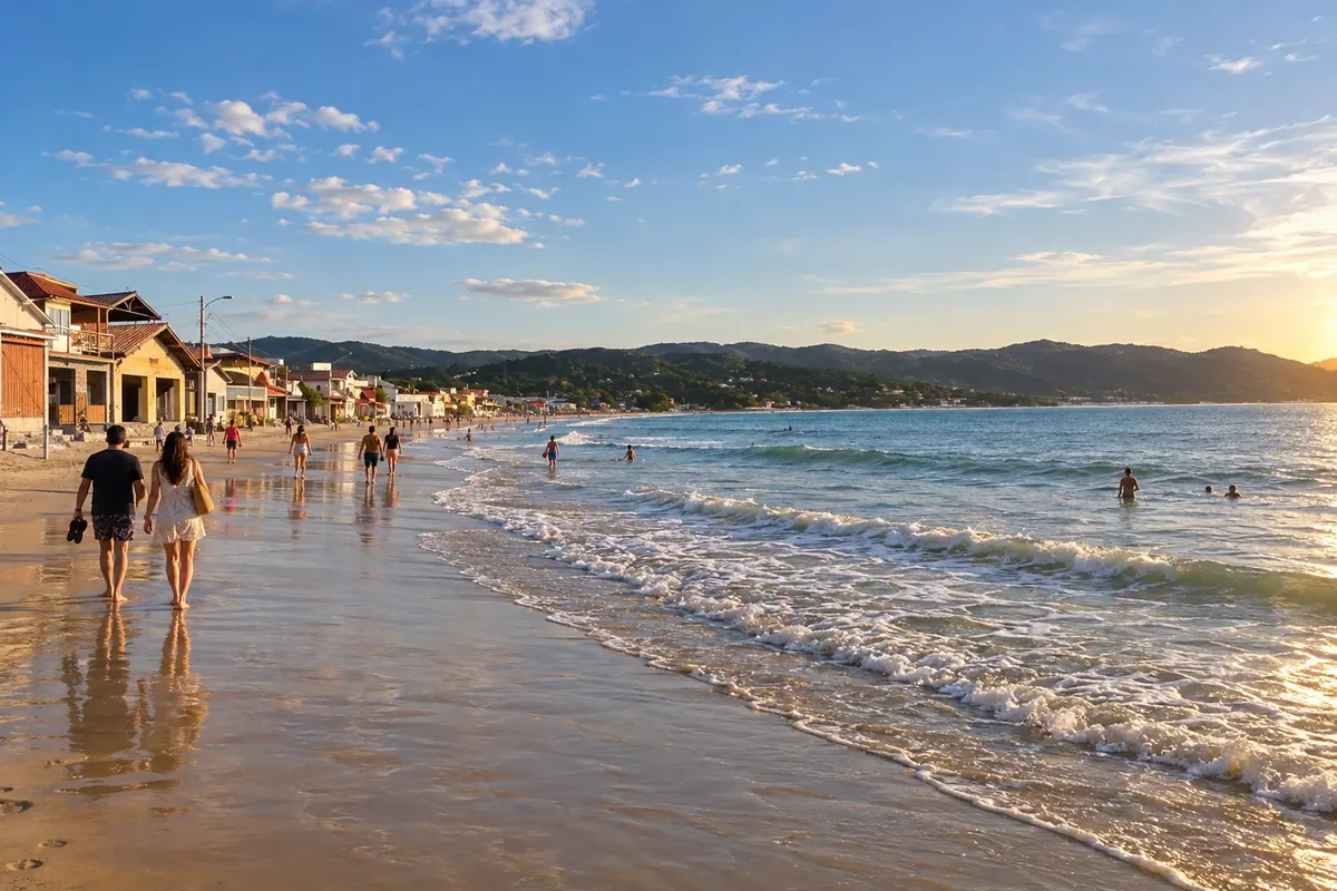
Garopaba preserves the Igreja Histórica São Joaquim atop the hill of the old town and the dunes of Praia do Siriú. Fishing villages and rocky headlands offer different perspectives of its coast. The trip begins with Azorean heritage and onshore observation points during the season.
→ Imbituba Leave Garopaba via the SC-434 access to the BR-101 and follow toward the accesses to Imbituba. The road connection is paved; beaches such as Ribanceira require their own local exit—there is no continuous road laid over the sand.
-
 2 · SC
Imbituba
Imbituba brings together Praia da Ribanceira and the Centro de Visitantes do Projeto Franca Austral in Itapirubá Norte. The Espaço Australis presents marine fauna and an adult southern right whale skeleton. The town links the cove landscapes with knowledge about the species.
→ Laguna From Imbituba, head south on the BR-101 and enter the signed access to Laguna. The Centro Histórico sits by the lagoon, while Itapirubá Sul has access at the northern sector; the Farol de Santa Marta area requires a different local exit.
-
 3 · SC
Laguna
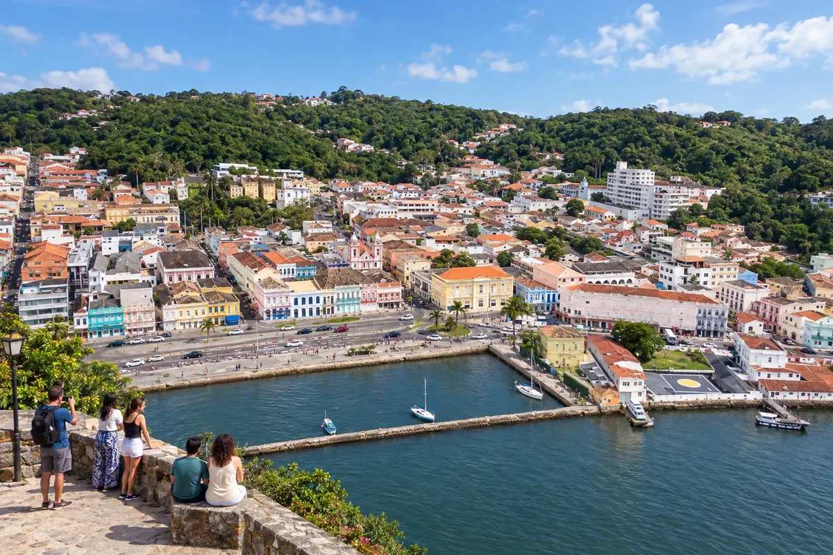
Laguna preserves the urban ensemble of the Centro Histórico and the memory of the República Juliana at the Museu Histórico Anita Garibaldi. The Farol de Santa Marta marks another sector of its coast. The final stage combines culture and observation from beaches such as Itapirubá Sul, without guarantee of finding whales.
How many days
Four to six days are suggested to spread beaches, heritage and transfers among the three municipalities. Allow flexibility for weather conditions and for visits that depend on service hours or appointments.
Best time to go
Winter and spring concentrate the southern right whale season. The animals' presence varies; check recent records and assess wind, rain and visibility. Outside that period, beaches and heritage still offer other travel possibilities.
How to travel it
Use the BR-101 and municipal access roads to link the towns. Choose beaches and onshore observation points separately; walk only where circulation is allowed. Bring binoculars, protect the vegetation and follow the local rules of the conservation unit.
Who it's for
For those who want to travel the coast by car or hired transport and observe wildlife from beaches and rocky headlands, with time for museums and historic centers. The activity requires respect for access rules and maintaining distance from the animals.
Your questions
Frequently asked questions about the Rota da Baleia Franca
Which cities does the Rota da Baleia Franca include?
Garopaba, Imbituba and Laguna make up this tourist route. The environmental territory of the APA and the walking trail have different extents.
Is the transfer between the towns done on foot?
This route uses car or hired transport for the road connections. Local walks to beaches and headlands are separate activities, with their own access points and conditions.
Is it possible to see whales in any month?
The season is concentrated in winter and spring. Even during that period, the animals may not be present at the chosen spot and visibility can prevent observation.
Are there observation boats on this route?
The proposal is exclusively onshore. Observe from the coast with binoculars, respecting permitted points and the animals' conservation rules.
How to make the most of the trip when the weather doesn't favor observation?
Set aside days for churches, historic centers and cultural exhibitions. Visit availability depends on each institution's opening and service, not on the presence of whales.