
Route · SP
Mantiqueira Paulista
Roads of the Mantiqueira between the Vale do Paraíba, mountain towns and the district of São Francisco Xavier.
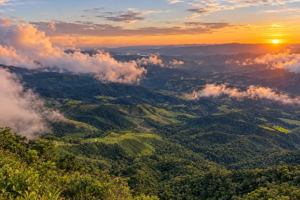
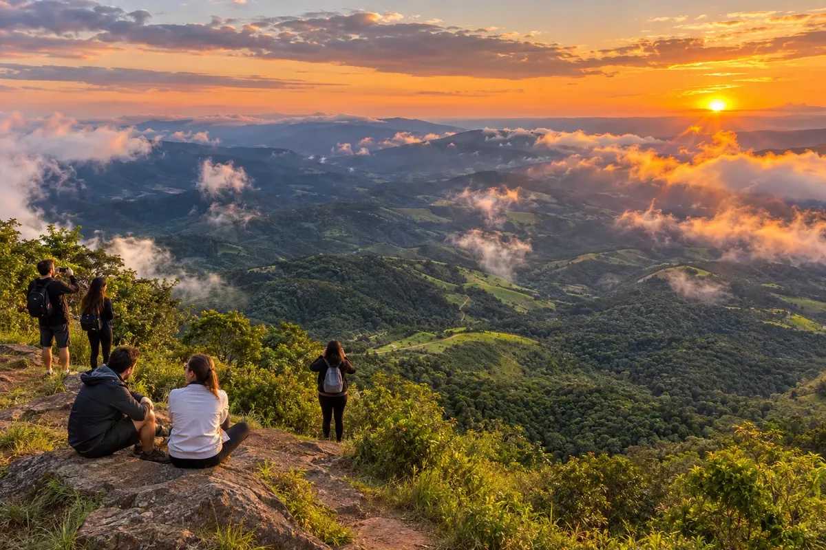
In the photo: Slopes of the Mantiqueira seen from Pico Agudo.
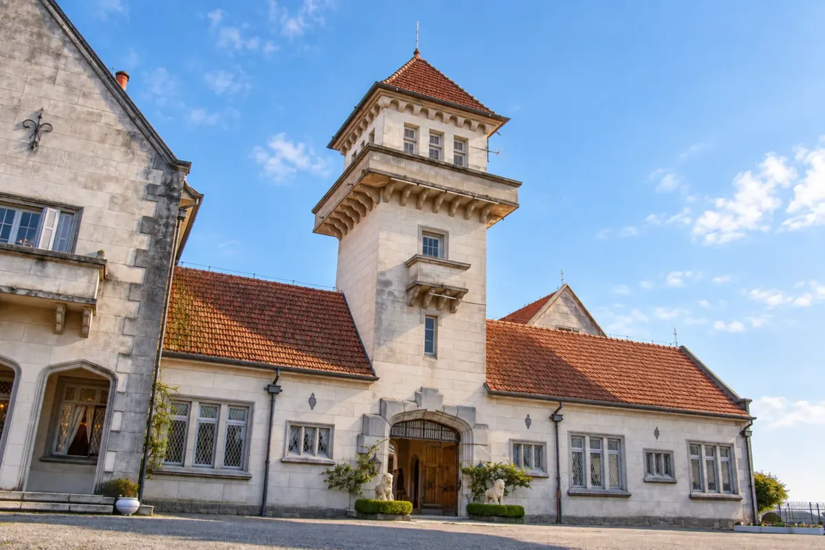
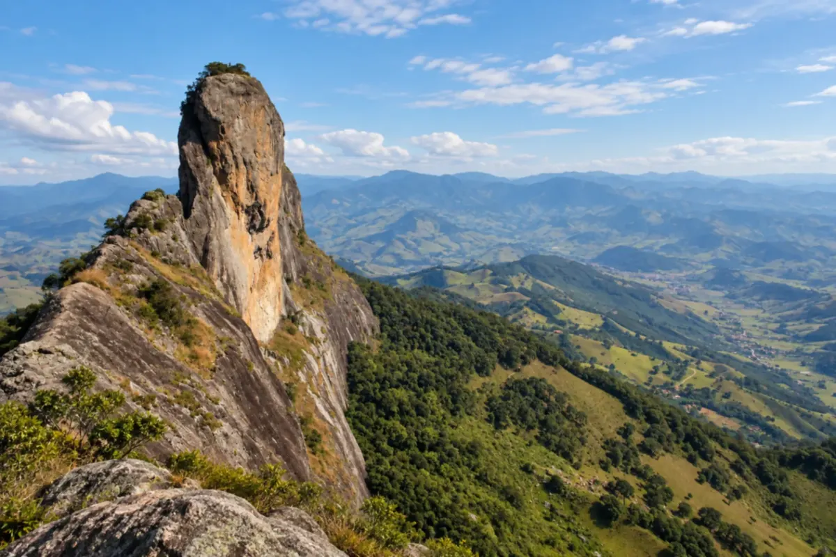
Illustrative images. The pictures in this guide are illustrations based on the real place, not photographs, and may differ from it.

The route
What the Mantiqueira Paulista is
São José dos Campos and Pindamonhangaba provide access to the São Paulo side of the Mantiqueira. The SP-050 climbs through Monteiro Lobato, where the former Fazenda Buquira preserves the link to the writer, up to the connections to Santo Antônio do Pinhal, Campos do Jordão and São Bento do Sapucaí. The route uses spurs to the Pedra do Baú and for the approach from the Vale do Paraíba.
São Francisco Xavier adds another mountain exit within the municipality of São José dos Campos. Walking through Parque Vicentina Aranha, the manor house of Fazenda Buquira and the access routes to Pico Agudo are activities different from inter-city transfers. Choose the visits for each stage and allow time for local detours.
The map
6 cities along the way
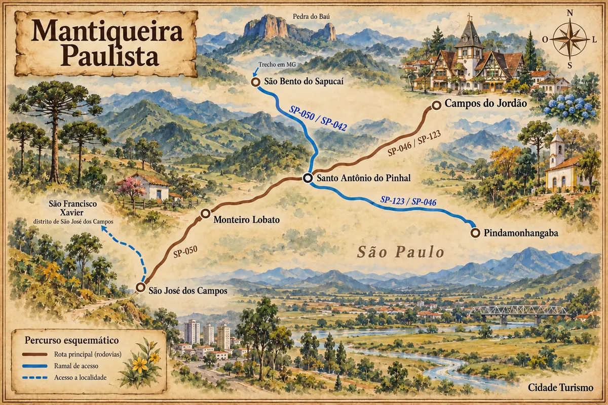
Mapa: @svg-maps/brazil, CC BY 4.0
The journey
City by city
Distances and times are approximate: check before you set off.
-
 1 · SP
São José dos Campos
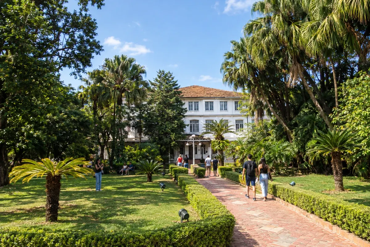
São José dos Campos is an aerospace hub of the Vale do Paraíba. Among the urban neighborhoods, Parque Vicentina Aranha preserves pavilions of a former sanatorium and public gardens. In the north of the municipality, the district of São Francisco Xavier brings together slopes of the Mantiqueira and the Cachoeira Pedro David. The SP-050 connects these landscapes to the route to Monteiro Lobato.
→ Monteiro Lobato SP-050 from the Vale do Paraíba, an asphalt road that follows the ascent to the Mantiqueira. São Francisco Xavier has its own local detour.
-
 2 · SP
Monteiro Lobato
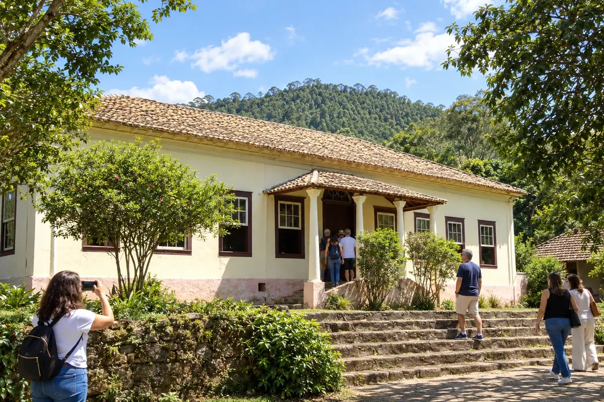
Monteiro Lobato occupies the slopes of the Mantiqueira along the SP-050 corridor. The former Fazenda São José do Buquira was the residence of the writer who gives the municipality its name and is known as Sítio do Picapau Amarelo. In the center, the Matriz Nossa Senhora do Bonsucesso and the main square preserve references to the settlement's formation amid fields and mountain paths.
→ Santo Antônio do Pinhal SP-050 through the mountains, with curves and stretches between slopes; access to the seat of Santo Antônio do Pinhal via the junction with SP-046.
-
 3 · SP
Santo Antônio do Pinhal
Santo Antônio do Pinhal is a mountain town between the Vale do Paraíba and Campos do Jordão. Pico Agudo stands out in the relief and as an access point for free flight. Estação Eugênio Lefèvre and the nearby viewpoint bring the visit closer to the railway history of the Mantiqueira; sculptures by Odette Eid appear in the city's public spaces.
→ Campos do Jordão SP-046 to Eugênio Lefèvre and SP-123 on the climb to Campos do Jordão, with access to the urban area via the mountain highway.
-
 4 · SP
Campos do Jordão
Campos do Jordão occupies the high plateau of the Mantiqueira and concentrates accommodation and services in its mountain neighborhoods. The architecture of Capivari and the Parque Estadual de Campos do Jordão are part of its visitor guide. Access via the SP-123 links the city to the Eugênio Lefèvre corridor.
-
 5 · SP
São Bento do Sapucaí
São Bento do Sapucaí sits by the Sapucaí river and the landscape of the Pedra do Baú. The rock formation and the heritage of the urban core give the town its identity. The connection via the SP-050/SP-042 corridor is a spur separate from the ascent to Campos do Jordão and can cross a stretch through Minas Gerais.
-
 6 · SP
Pindamonhangaba
Pindamonhangaba is in the Vale do Paraíba, with territory reaching the Mantiqueira. Its link with the Estrada de Ferro Campos do Jordão follows the history of transport between the valley and the range. The SP-123 and the accesses to the seat make this municipality an alternative arrival point to the mountain group.
How many days
Allow four to six days for the mountain towns and add time if you include the district of São Francisco Xavier and the urban tours of São José dos Campos.
Best time to go
From June to August the high areas usually have lower temperatures and less rain. May and September are alternatives to travel the range outside the period of highest demand for cold. Between December and March rain tends to be more frequent; allow flexibility for outdoor routes. The Vale do Paraíba and the higher points have different temperatures.
The seasons shown are the most usual ones; nature doesn't always follow the calendar.
How to travel it
A car makes the spurs and accesses outside town easier. The SP-050 connects São José dos Campos, Monteiro Lobato and Santo Antônio do Pinhal; the SP-046/SP-123 lead to Campos do Jordão and the Vale do Paraíba. São Bento do Sapucaí uses a different spur, with a road passage through Minas Gerais. Confirm arrangements for rural tours before setting out.
Who it's for
For travelers who combine mountain scenery, railway architecture, literary history and urban walks, with highway travel and local access.
Your questions
Frequently asked questions about the Mantiqueira Paulista
Do I need to visit all the towns in the same trip?
The group can be divided into stages. Choose bases and spurs according to the visits you want, adding the transfers to the rural outings.
Is São Francisco Xavier a separate municipal stop?
It is a district of São José dos Campos. The excursion to the village and to the waterfall has its own local access and requires time beyond the urban visit.
How to include São Bento do Sapucaí?
Organize the spur via the SP-050/SP-042 corridor from Santo Antônio do Pinhal. The connection may pass through Minas Gerais before returning to São Paulo.
Can you arrive via the Vale do Paraíba?
The SP-123 is the option for the ascent from the valley; Pindamonhangaba has a connection to that corridor. Confirm access to your chosen accommodation before leaving the highway.
Does visiting the viewpoints depend on a train ride or a flight?
Landscape viewing, railway trips and free flight are distinct activities. Book each service separately and confirm their access.