Viewpoint
Pico Agudo
An elevation in Santo Antônio do Pinhal with an observation area overlooking the Mantiqueira slopes and the Vale do Paraíba. Access is via its own municipal road.


São Paulo · Brazil
In the destination Serra da Mantiqueira.
In the photo: Mantiqueira slopes viewed from Pico Agudo.
Illustrative images. The pictures in this guide are illustrations based on the real place, not photographs, and may differ from it.
The city
Santo Antônio do Pinhal is a mountain town between the Vale do Paraíba and Campos do Jordão. Pico Agudo stands out in the relief and in the access points for free flight. Estação Eugênio Lefèvre and the nearby viewpoint bring the visit closer to the railway history of the Mantiqueira; sculptures by Odette Eid appear in the city's public spaces.
There's no accommodation in the guide yet in Santo Antônio do Pinhal.
There are no restaurants in the guide yet in Santo Antônio do Pinhal.
Know a good one? Recommend it to ushow to get there · how many days · itinerary · questions
The local experience
An elevation in Santo Antônio do Pinhal with an observation area overlooking the Mantiqueira slopes and the Vale do Paraíba. Access is via its own municipal road.
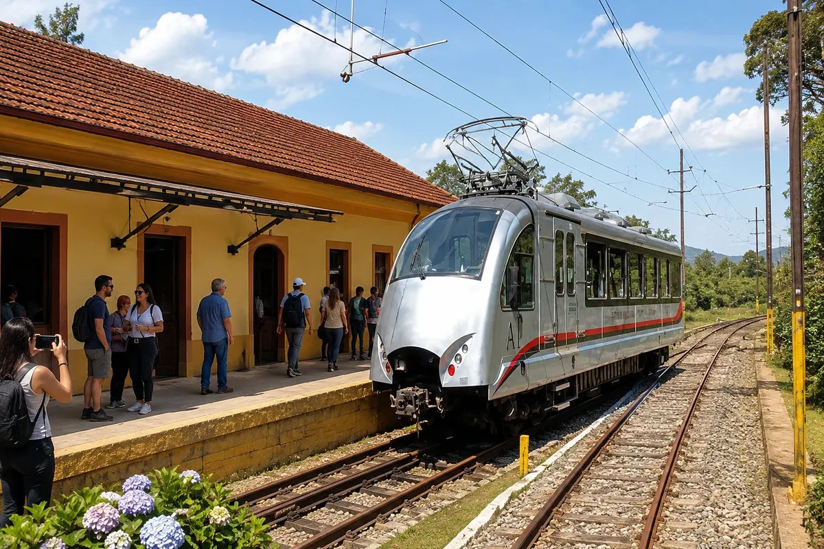
Eugênio Lefèvre railway complex and nearby viewpoint, on the access corridor to Santo Antônio do Pinhal. The visit includes the exterior of the station and the landscape facing the Vale do Paraíba.
Discover Estação Eugênio Lefèvre e mirante
Brazilian routes
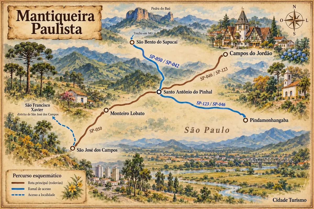
Roads of the Mantiqueira between the Vale do Paraíba, mountain towns and the district of São Francisco Xavier.