
Campo do Tenente

Paraná · Brazil

Campo do Tenente

In the destination Rotas do Pinhão.

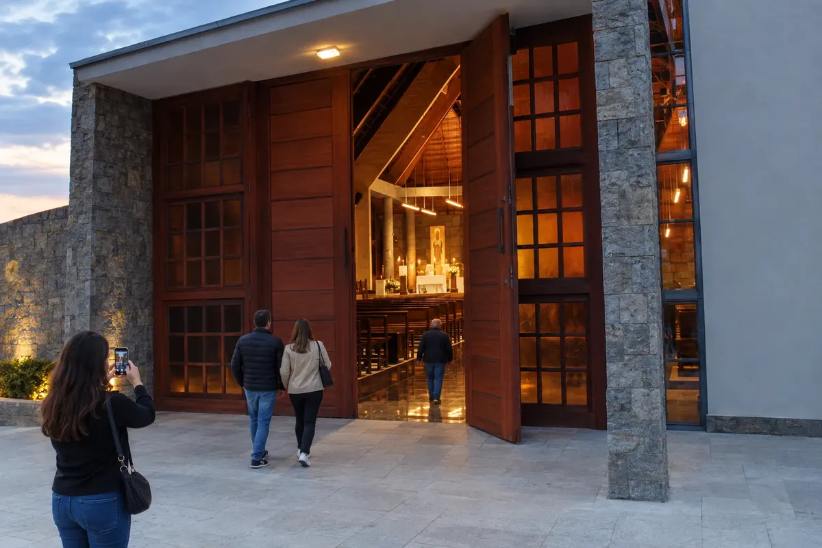
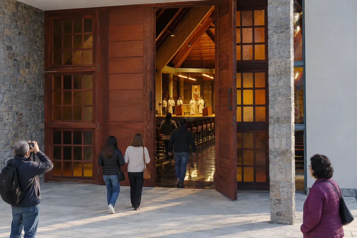
In the photo: Entrance to the church of the Mosteiro Nossa Senhora do Novo Mundo.

Illustrative images. The pictures in this guide are illustrations based on the real place, not photographs, and may differ from it.

Get it on Google Play Send your photos

The city

What to expect from Campo do Tenente.

Campo do Tenente formed along the corridor of the Caminho das Tropas, between Rio Negro and Lapa. The agricultural landscape coexists with traces of Polish immigration and with the Mosteiro Trapista Nossa Senhora do Novo Mundo, of modern architecture. The town sits at the junction of the BR-116 and PR-427 access roads, the southern-block connection of the Rota dos Tropeiros.

Share: WhatsApp

Where to stay

There's no accommodation in the guide yet in Campo do Tenente.

Where to eat

There are no restaurants in the guide yet in Campo do Tenente.

Know a good one? Recommend it to us

Your trip

how to get there · how many days · itinerary · questions

The local experience

What to see in Campo do Tenente

Traveler, share your experiences through photos Up to 5 photos of each place you visited.

Brazilian routes

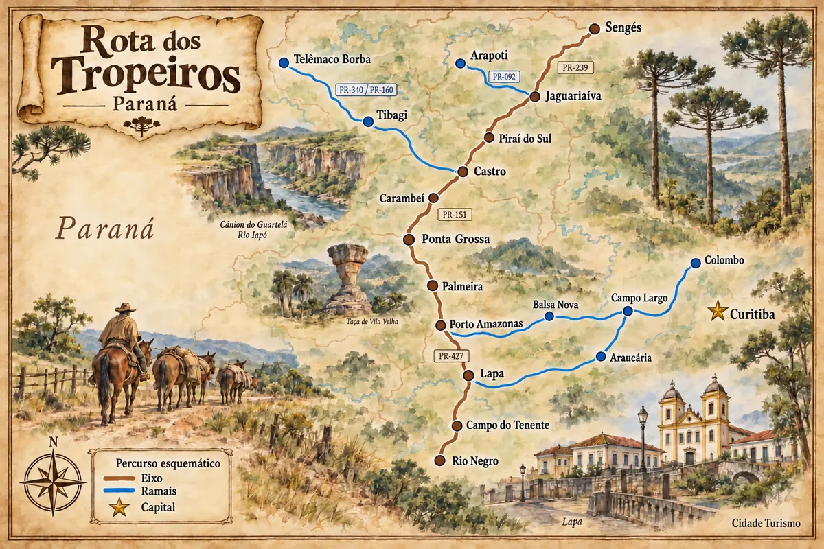
Campo do Tenente is part of the Rota dos Tropeiros

Historic routes, museums and landscapes between southern Paraná, the Região Metropolitana de Curitiba and the Campos Gerais.

Illustrative map, not to scale. Tap a city to open its page.
Illustrated map of Rota dos Tropeiros
Explore the Rota dos Tropeiros
See the destination Rotas do Pinhão Find another city
Back