Paraná · Brazil
Araucária
In the destination Rotas do Pinhão.
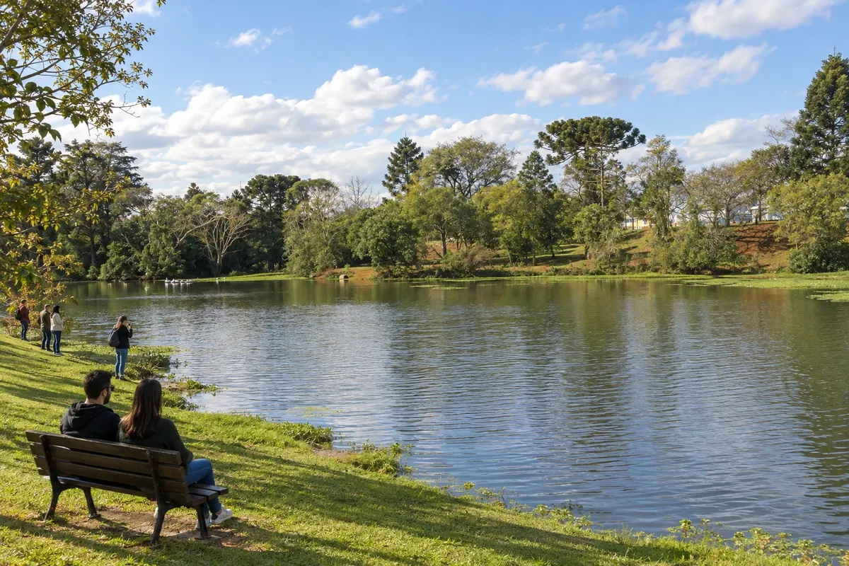
In the photo: Lake and green areas of Parque Cachoeira, in Araucária.
Illustrative images. The pictures in this guide are illustrations based on the real place, not photographs, and may differ from it.

The city
What to expect from Araucária.
Araucária occupies part of the Iguaçu valley in the Curitiba metropolitan region. The presence of Polish immigration coexists with the municipality's industrial profile. Parque Cachoeira brings together public leisure spaces and references of community life, while BR-476 and PR-423 connect the city to the routes to Lapa and Campo Largo.
Where to stay
There's no accommodation in the guide yet in Araucária.
Where to eat
There are no restaurants in the guide yet in Araucária.
Know a good one? Recommend it to usYour trip
how to get there · how many days · itinerary · questions
The local experience
What to see in Araucária
Brazilian routes
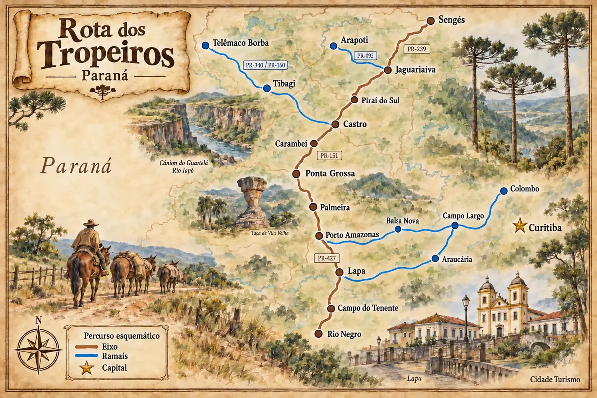
Araucária is part of the Rota dos Tropeiros
Historic routes, museums and landscapes between southern Paraná, the Região Metropolitana de Curitiba and the Campos Gerais.