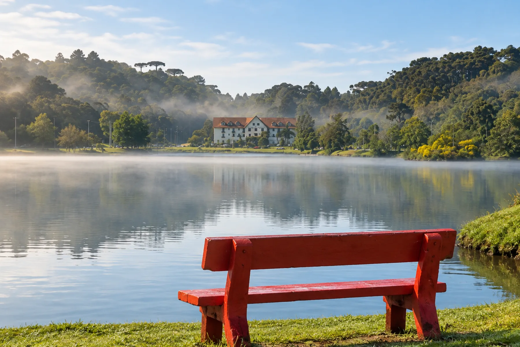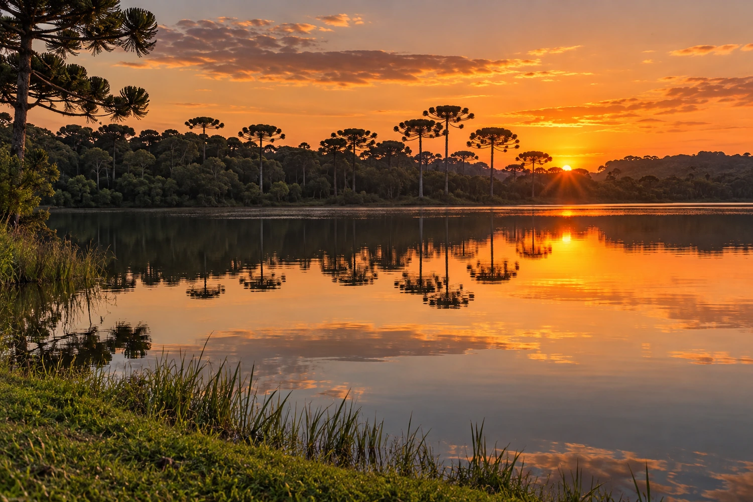
lake
The town's postcard image, the lake is fed by eight springs and has landscaped shores, with pedal boats and an exercise area. Nearby are a small shrine and a mural honoring the tropeiros (cattle drovers) tied to the town's origins.
Discover Lago São Bernardo →
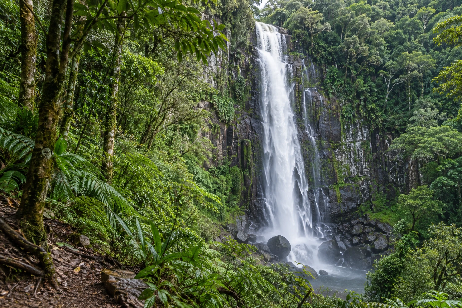
waterfall
A preserved private area about 5 kilometers from the center, it has eight waterfalls spread along four trails of varying difficulty. The tallest, the Cascata da Ronda, is about 100 meters high.
Discover Parque das Oito Cachoeiras →
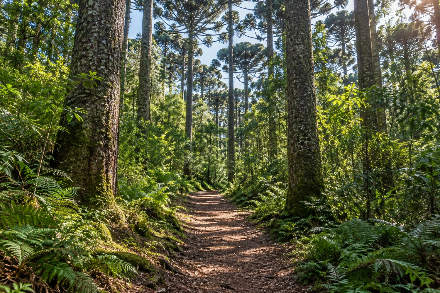
forest
Created in 1968, this federal protected area covers about 1,600 hectares, with araucaria forest and areas of planted species. It has signposted trails, a grove of centuries-old araucarias and more than 200 bird species; visits require an appointment.
Discover Floresta Nacional de São Francisco de Paula →
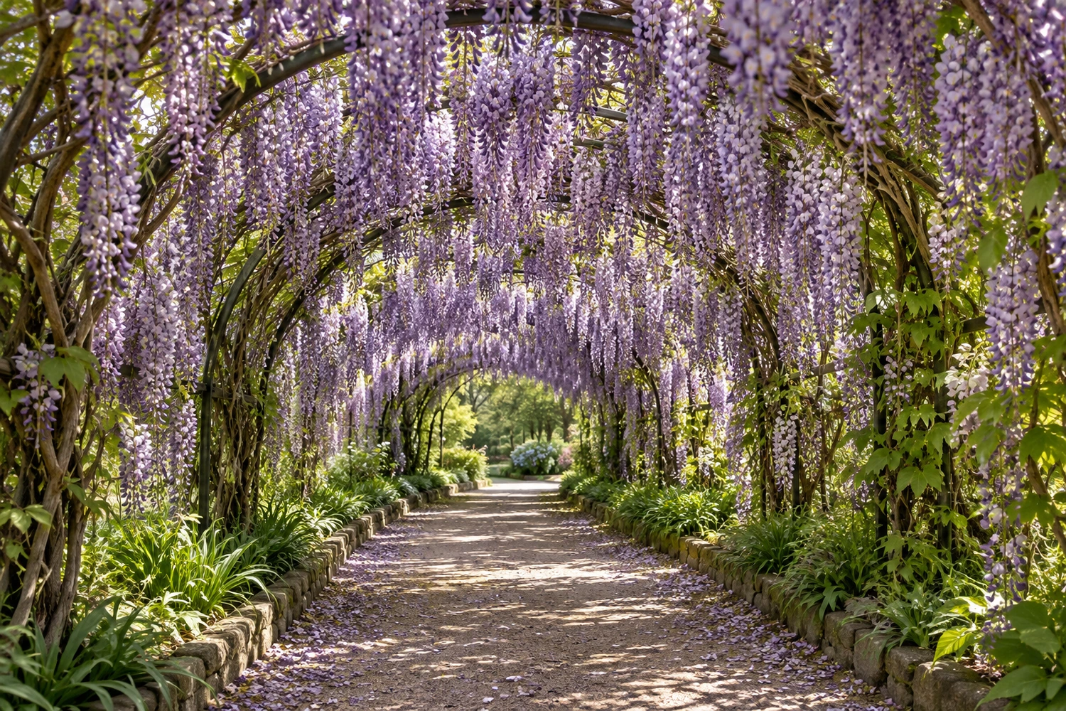
garden
Along RS-235, it has more than 30 themed gardens with about 300 plant species, connected by paths totaling 8 kilometers. One of the highlights is the 102-meter wisteria tunnel.
Discover Mátria Parque de Flores →