village
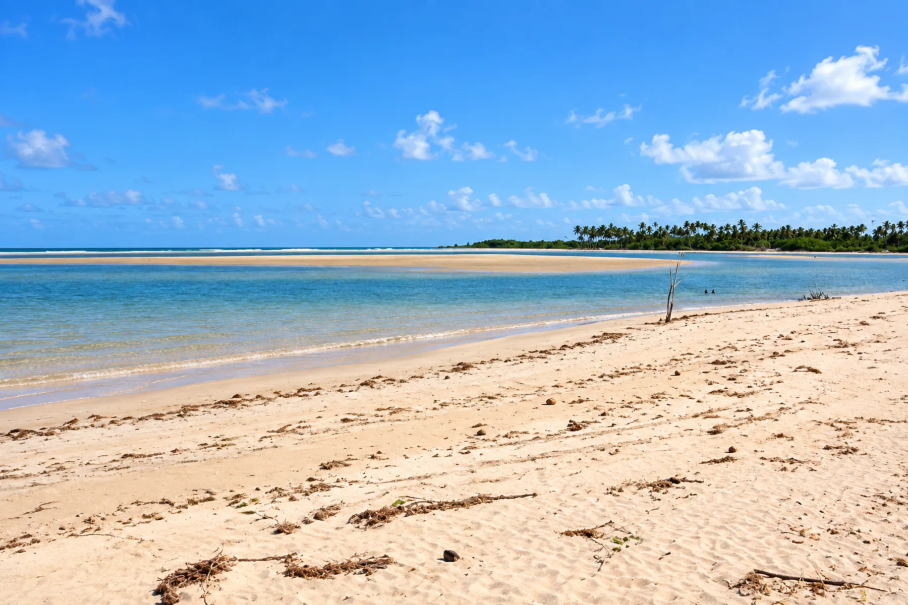
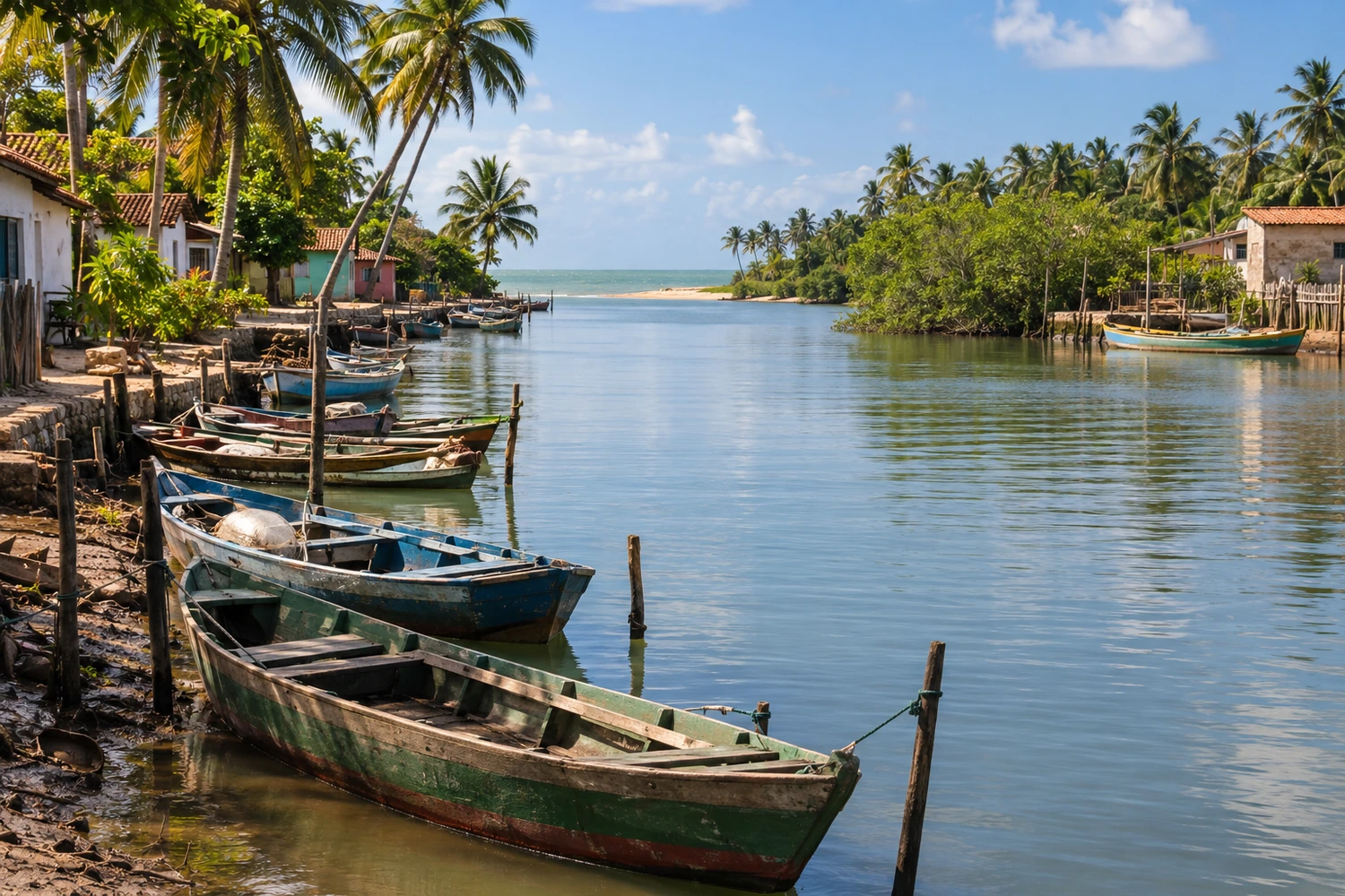
A beach district about 80 km north of Maceió, at the mouth of the Rio Camaragibe, where the river meets a clear sea and coconut groves. It is the most built-up stretch of the town's coast, with boat trips on the river.
Discover Barra de Camaragibe →
beach
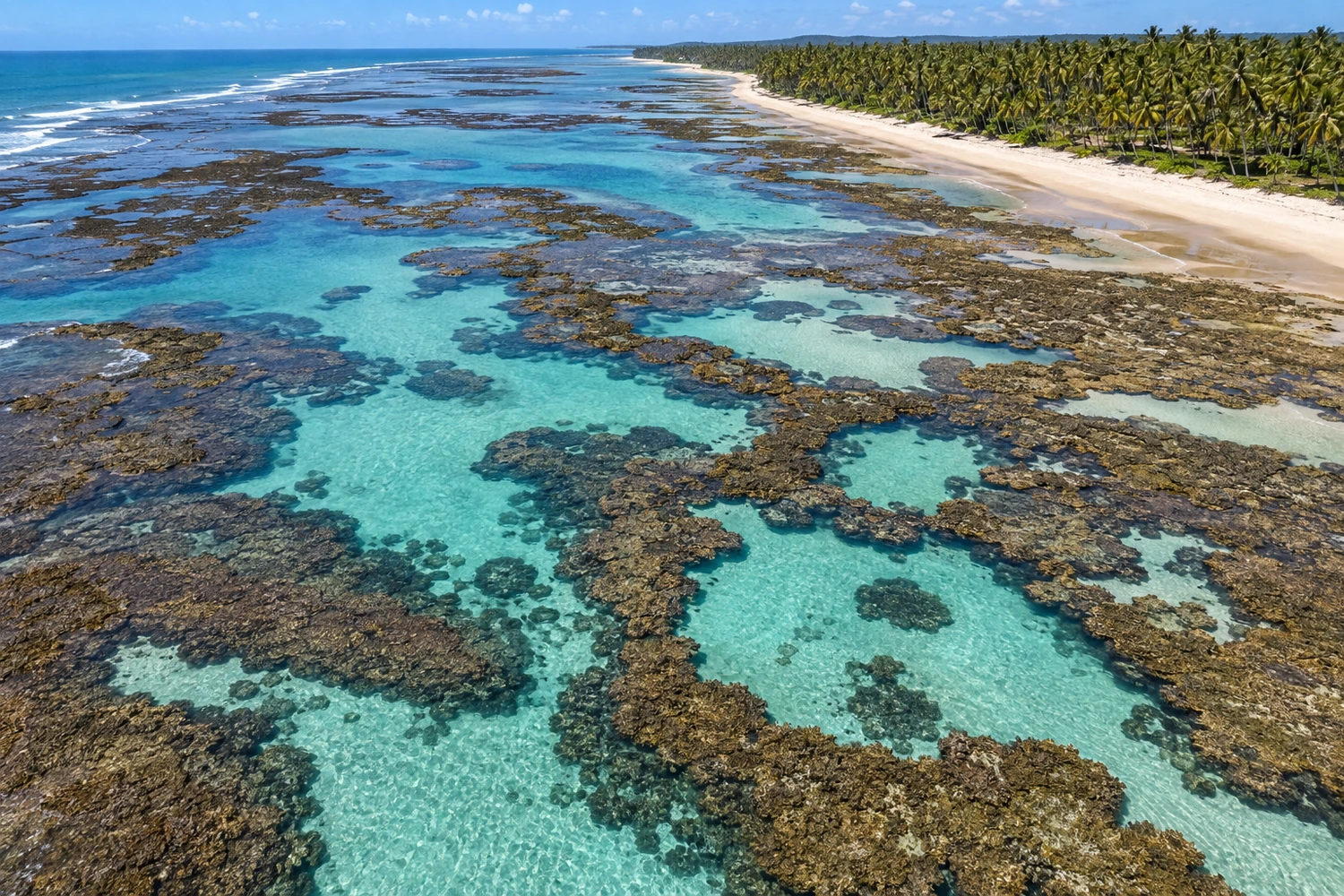
It has coconut groves, a sea in shades of blue and crystal-clear pools that form among the reefs at low tide. It is at the southern end of the Rota Ecológica, an unspoiled stretch of the north coast of Alagoas.
Discover Praia do Marceneiro →
beach
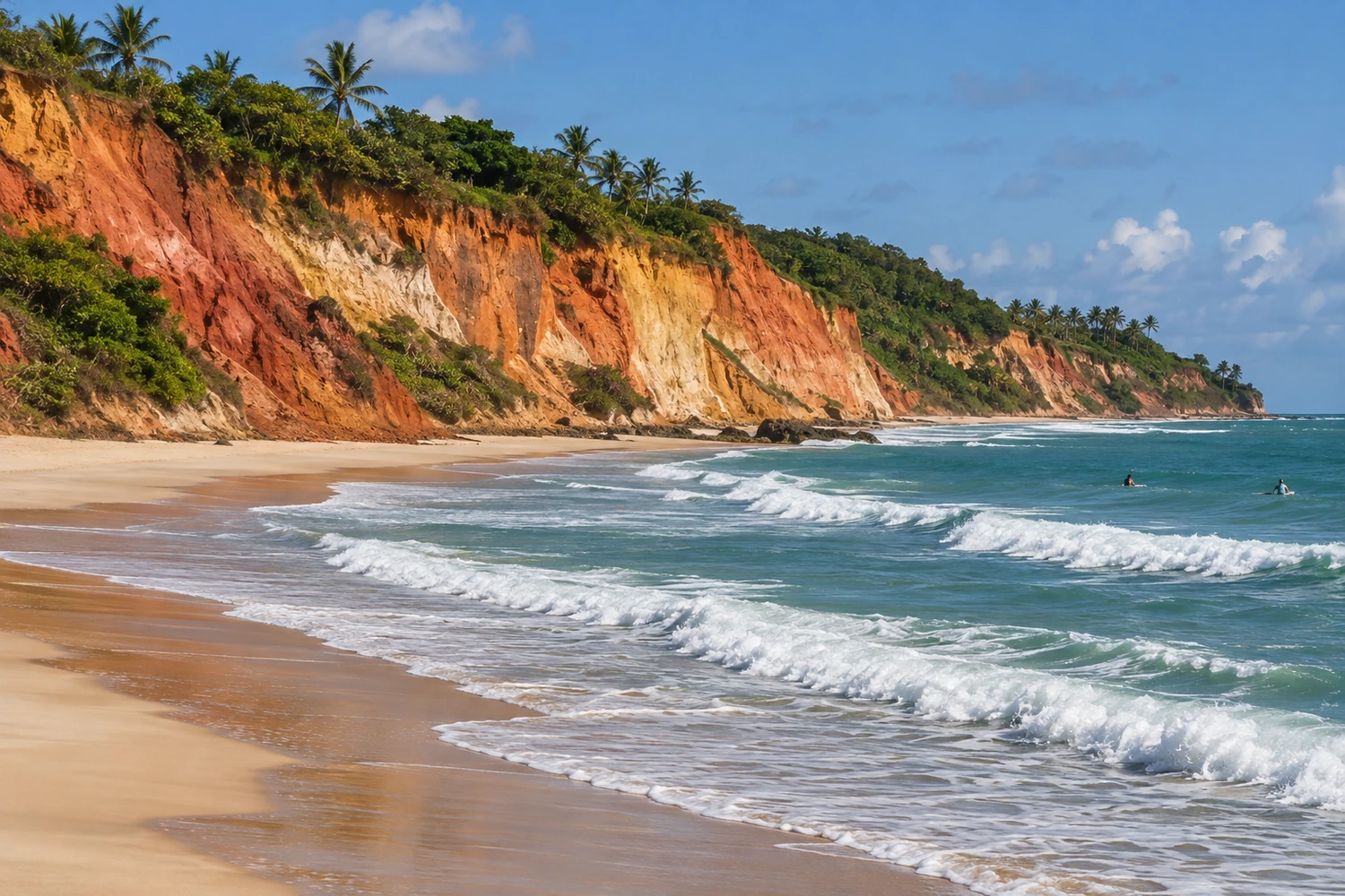
Reached by crossing the Rio Camaragibe (river) by canoe from Barra, it has cliffs and waves popular with surfers. This stretch is more isolated than the neighboring beaches.
Discover Praia dos Morros →