
village · Passo de Camaragibe, AL
Barra de Camaragibe
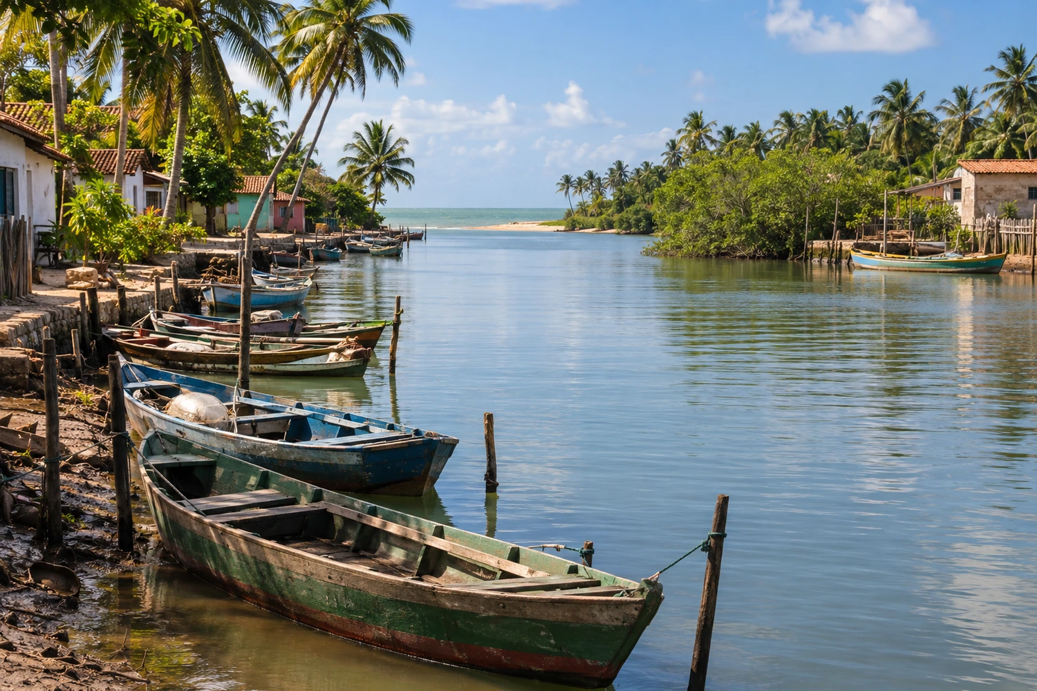
A beach district about 80 km north of Maceió, at the mouth of the Rio Camaragibe, where the river meets a clear sea and coconut groves. It is the most built-up stretch of the town's coast, with boat trips on the river.
Illustrative images. The pictures in this guide are illustrations based on the real place, not photographs, and may differ from it.
Discover
About Barra de Camaragibe
Barra de Camaragibe is the beach district of Passo de Camaragibe, on the north coast of Alagoas, on the Costa dos Corais. It sits at the mouth of the Rio Camaragibe (river), where the river meets the sea, and is the first stop on the Rota Ecológica dos Milagres (Ecological Route) if you are coming from Maceió.
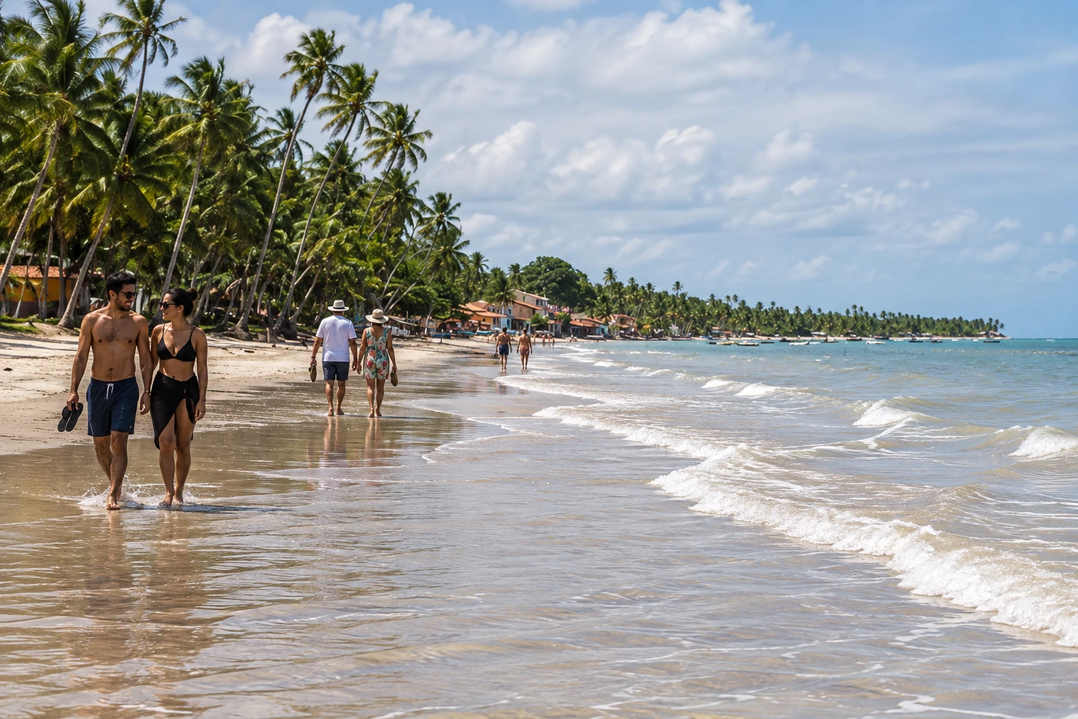
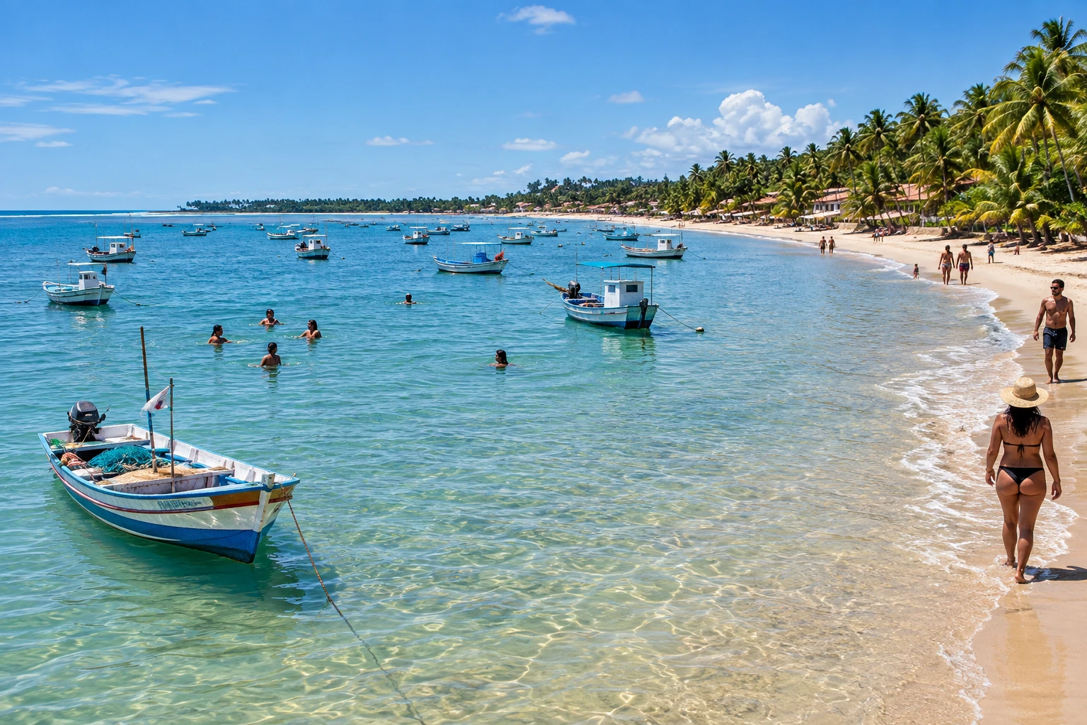
It is the most built-up stretch of the town's coast, with fishermen's houses, pousadas (guesthouses), beach stalls and restaurants near the sand. Even so, it feels like a quiet village, with a wide strip of sand and plenty of coconut palms.
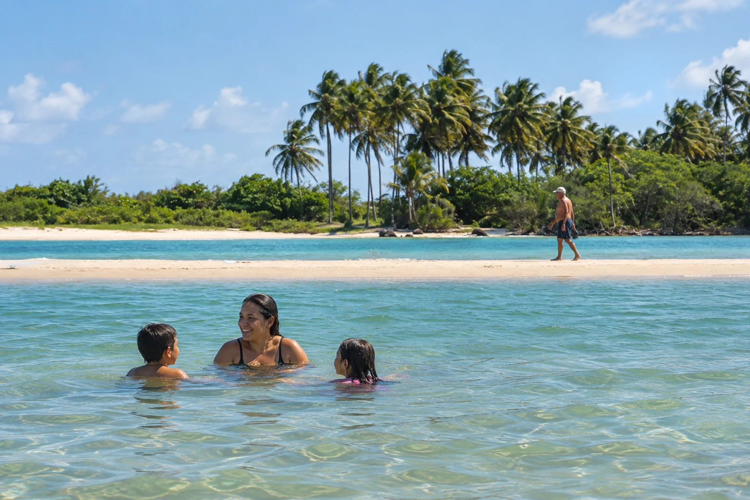
The main attraction is where the river meets the sea. At the river mouth, the water is calm and warm, good for floating, and there are mangroves along the bank. Near the mouth, the sea is less blue and crystal clear than at the neighboring beaches, because of the river water. At low tide, natural pools appear among the reefs.
You can kayak or stand-up paddle on the river and snorkel on the reefs. From Barra you can also take a jangada (raft) or canoe across the river to Praia dos Morros, one of the most unspoiled stretches of the region. The calm sea makes the beach good for families with children.
Before you go
Practical information
How much time to set aside
Half a day is enough for the beach and the river mouth; set aside a full day if you include the crossing to Praia dos Morros.
Best time
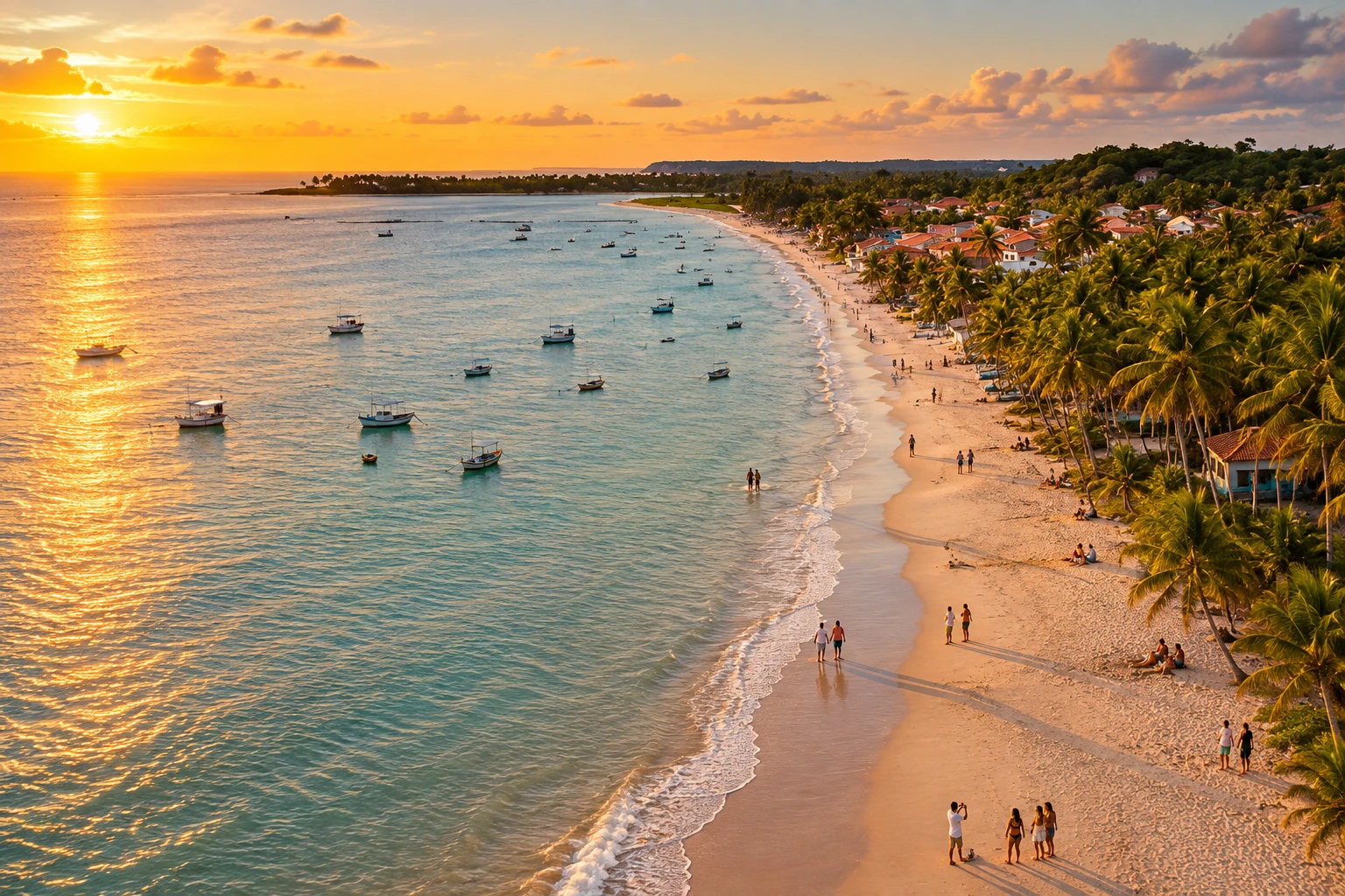
From September to March, the drier season with steady sunshine; go at low tide to see the natural pools and stay until late afternoon for the sunset over the river.
How to get there
It is on the north coast of Alagoas, between Barra de Santo Antônio and São Miguel dos Milagres. From Maceió, head north on the AL-101; public transportation is scarce, so a car is the most practical option.
Tip
Check the tide table before you go: the natural pools and the crossing are better at low tide.
A look at the place
Barra de Camaragibe in pictures
These pictures are illustrations based on the real place, not photographs. They may differ from the place.
Click the picture to enlarge it.
Get your questions answered
Frequently asked questions about Barra de Camaragibe
Where is Barra de Camaragibe?
In the municipality of Passo de Camaragibe, on the north coast of Alagoas, at the mouth of the Rio Camaragibe (river). It is the start of the Rota Ecológica dos Milagres (Ecological Route) if you are coming from Maceió.
How do I get to Barra de Camaragibe from Maceió?
By car, heading north on the AL-101. Public transportation is scarce, so your own or a rental car is the most practical option.
Is the sea at Barra de Camaragibe good for kids?
Yes. The water is usually calm and warm, especially at the river mouth. Near the mouth, the sea is less clear because of the river water.
Are there natural pools at Barra de Camaragibe?
Yes, they appear among the reefs at low tide. Check the tide table before you go.
How do I get from Barra de Camaragibe to Praia dos Morros?
By crossing the Rio Camaragibe by jangada (raft) or canoe from Barra. The crossing is short.