waterfall
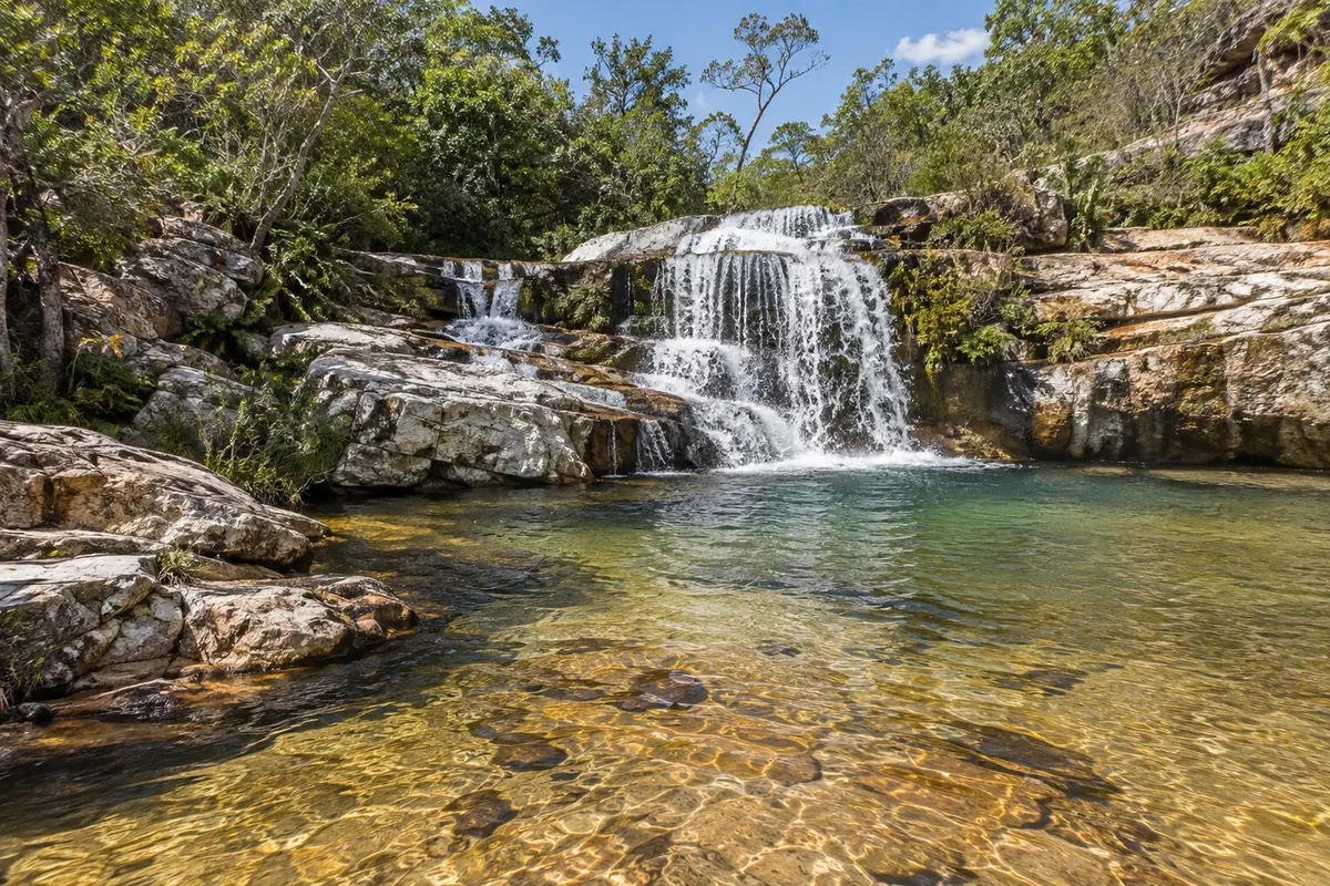
Formed by the Rio Lajeado, it is about 36 km from town, in the area leading into Jalapão. The falls run down between rocks and form natural pools used for swimming, surrounded by cerrado vegetation.
Discover Lajeado Waterfall →
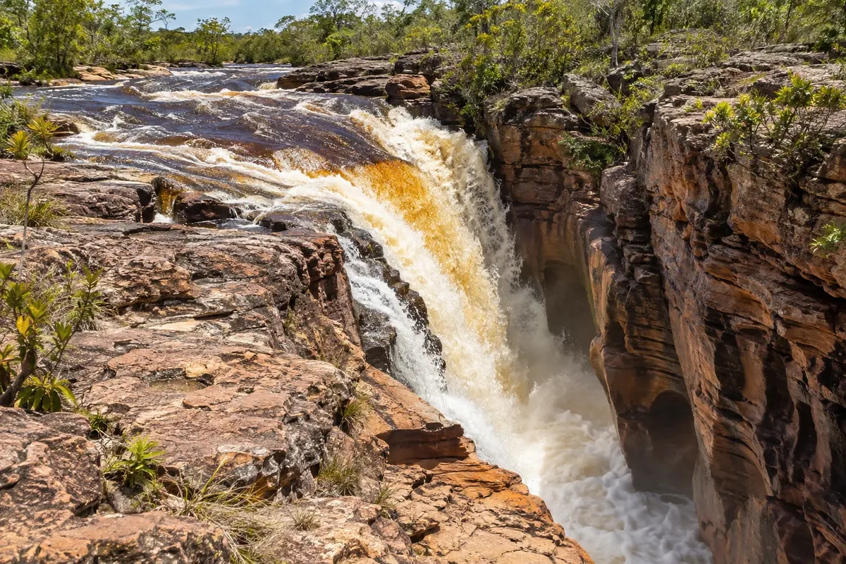
waterfall
On the Rio Soninho, it has a powerful main fall, whose water disappears into cracks carved in the rock, and a smaller fall upriver. On the upper part there is a shallow rock slab and natural whirlpools for swimming, with car access almost to the riverbank.
Discover Cachoeira do Rio Soninho →
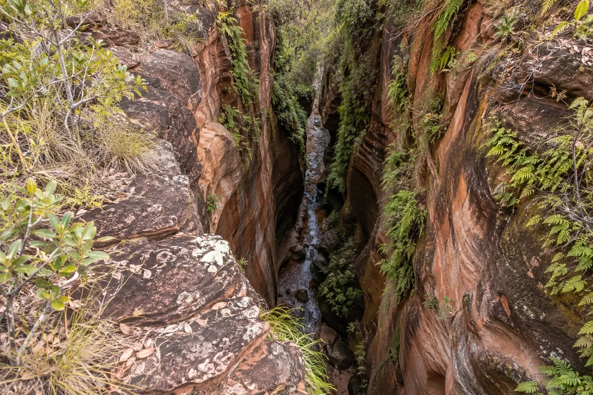
canyon
A narrow gap between sandstone walls where a trickle of water falls from above among ferns. The light coming through the opening creates a beam effect inside the rock corridor.
Discover Cânion do Sussuapara →
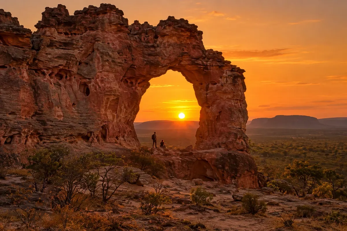
rock formation
A natural sandstone arch carved by wind and rain in the middle of open cerrado. A classic stop on the way to or from Mateiros.
Discover Pedra Furada →


 Antarctica
 Argentina
 Bolivia
 Chile
 Colombia
 Ecuador
 Guyana
 French Guiana
 Falkland Islands (Malvinas)
 Paraguay
 Peru
 Suriname
 Uruguay
 Venezuela
 Germany
 Austria
 Belgium
 Croatia
 Denmark
 Slovakia
 Slovenia
 Spain
 Finland
 France
 Greece
 the Netherlands
 Hungary
 Ireland
 Iceland
 Italy
 Luxembourg
 Norway
 Poland
 Portugal
 the United Kingdom
 the Czech Republic
 Sweden
 Switzerland
 Turkey
 Bermuda
 Canada
 the United States
 Greenland
 Mexico
 Saint Pierre and Miquelon
 the Dominican Republic
 Japan
 South Africa
 Egypt
 Australia
 Fiji
 New Zealand
 Papua New Guinea