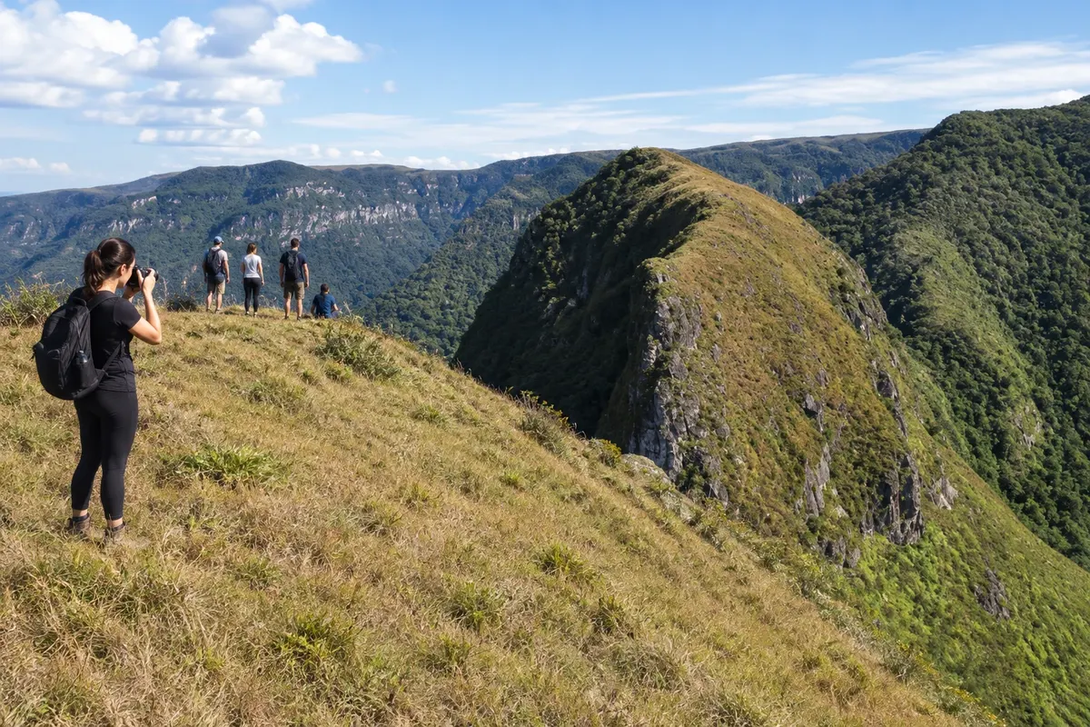
Morro do Carasal
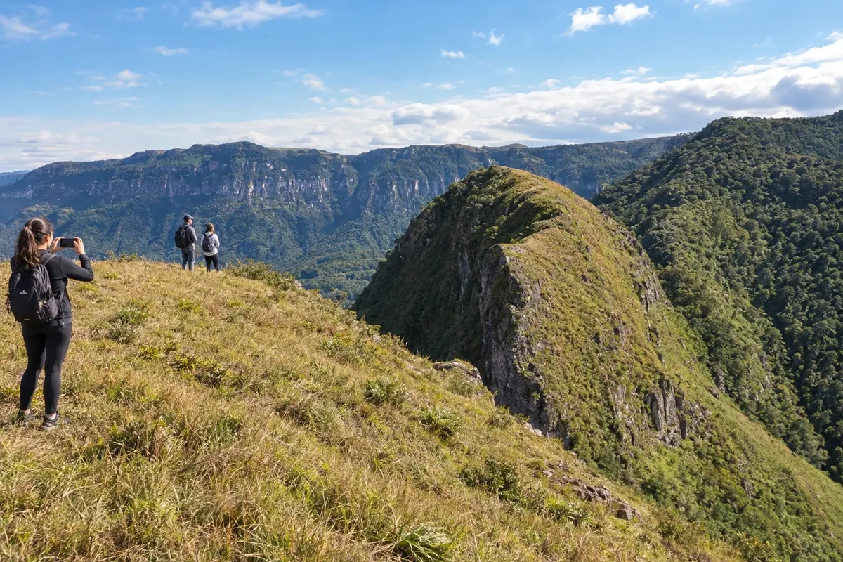
In the locality of Engenho Velho, a walk climbs to Morro do Carasal. The name comes from the cará, a type of bamboo found in the region; from the top, the landscape brings together the plain and the escarpments of the Serra Geral.
Santa Catarina · Brazil
In the destination Caminho dos Cânions.
In the photo: Jacinto Machado landscape.
Illustrative images. The pictures in this guide are illustrations based on the real place, not photographs, and may differ from it.
The city
Jacinto Machado brings together the rural landscape of banana production and walks on the slopes of the Serra Geral. Morro do Carasal, in Engenho Velho, offers a hike to the top; the Museu Histórico Professora Elisabete Luiz presents the culture of work. The Trilha do Tigre Preto leads into the interior of Cânion Fortaleza, with a route along the river.
There's no accommodation in the guide yet in Jacinto Machado.
There are no restaurants in the guide yet in Jacinto Machado.
Know a good one? Recommend it to ushow to get there · how many days · itinerary · questions
The local experience
In the locality of Engenho Velho, a walk climbs to Morro do Carasal. The name comes from the cará, a type of bamboo found in the region; from the top, the landscape brings together the plain and the escarpments of the Serra Geral.
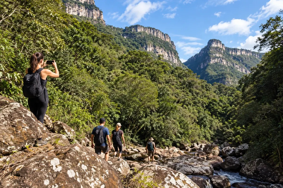
The Trilha do Tigre Preto runs through the interior of Cânion Fortaleza, between rock walls, forest and the riverbed. Cachoeira da Piazza and Poço do Beija-flor are reference points on the route promoted by municipal tourism.
Discover Trilha do Tigre Preto
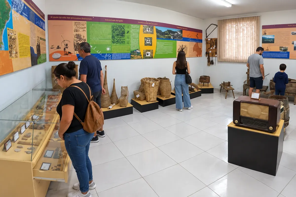
The municipal museum presents the culture of work in Jacinto Machado. The name honors Professor Elisabete Luiz, and the visit helps to learn about local memory before excursions into the interior.
Discover Museu Histórico Professora Elisabete Luiz
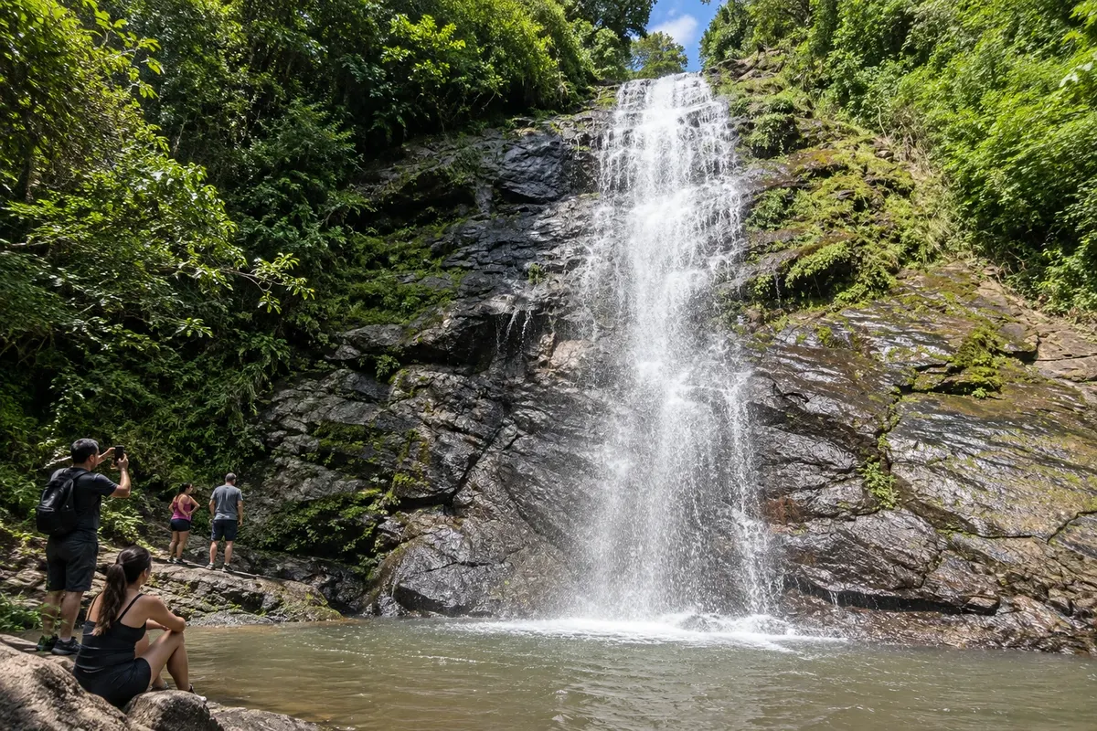
Cachoeira do Zelindo is on private property in the Serra da Pedra area. The waterfall descends over rocks of the Serra Geral in a landscape of forest and rural production.
Brazilian routes
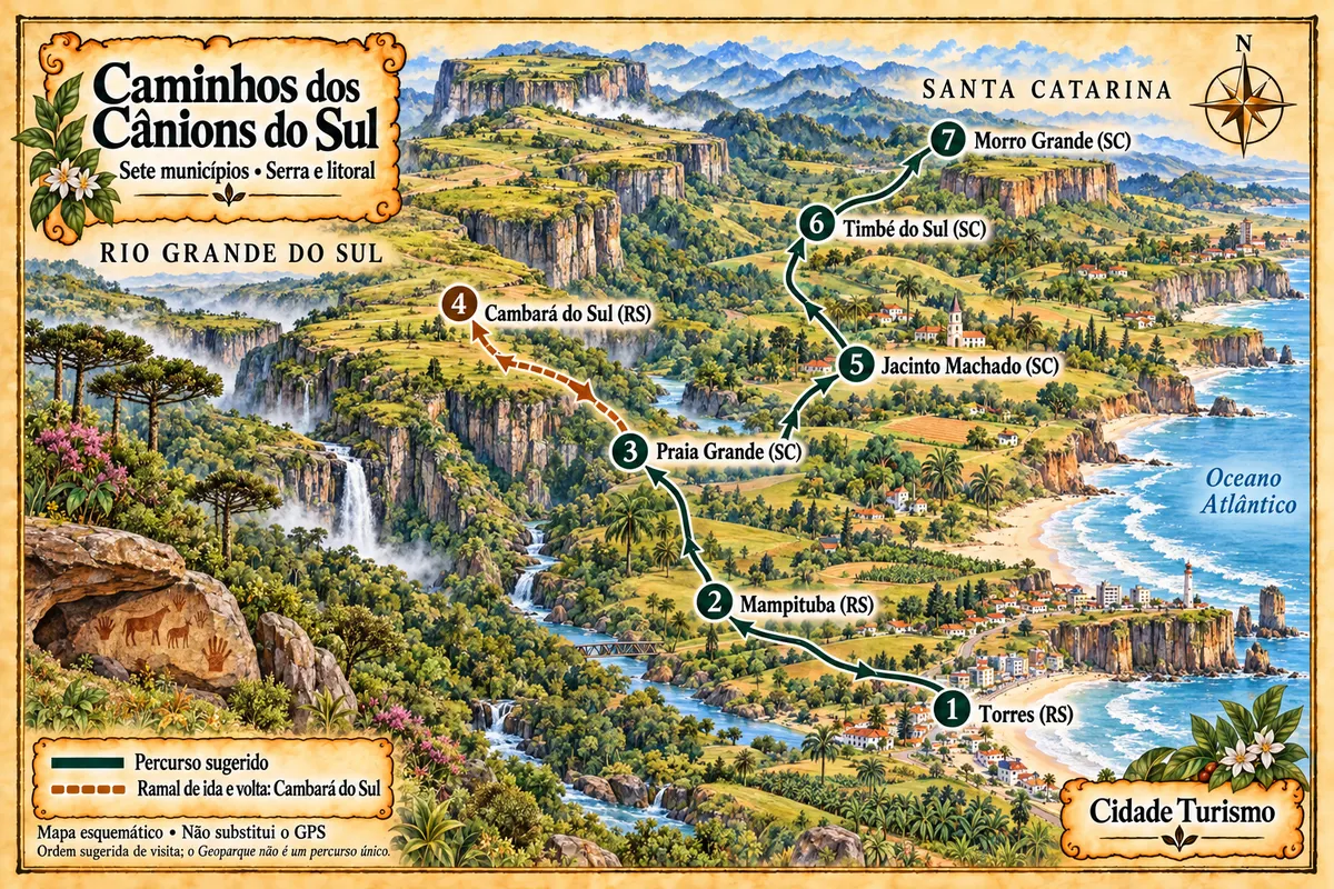
Seven municipalities between the coast and the Serra Geral, with canyons, waterfalls, paleotocas and rural paths in the territory of the Geopark.