By plane: Porto Alegre or Caxias do Sul
Cambará do Sul does not have an airport with regular flights. The most used is Salgado Filho International Airport (POA) in Porto Alegre, about 190 km away, roughly a 3-hour drive. It receives flights from multiple Brazilian cities and some international connections that vary with the season; travelers coming from abroad usually connect through a larger Brazilian airport.
The regional Hugo Cantergiani Airport (CXJ) in Caxias do Sul is closer, about 137 km and roughly 2 hours by car, but it has few flights and routes change. Check with the airline and don’t rely on it as the only option.
From either airport you continue by land. The most practical choice is to pick up a rental car at the airport, because you will also need it to reach the canyons. Book in advance for July and holiday periods.
By car: RS-020 from Porto Alegre, Gramado, and Canela
From Porto Alegre it’s about 190 km, roughly 3 hours. The most used route leaves on BR-290 to Gravataí and continues on RS-118 and RS-020, which climbs the mountains near Taquara and passes São Francisco de Paula. The entire route is paved, with many curves on the ascent.
From Gramado it’s about 113 km: take RS-235 through Canela to São Francisco de Paula, then RS-020. The final stretch crosses highland fields, passes the Tainhas junction where RS-020 meets the Rota do Sol, and reaches Cambará about 70 km after São Francisco de Paula.
From Caxias do Sul the route is the Rota do Sol to the RS-020 junction.
Fog is common in the mountains and on the fields, especially early morning and at night: reduce speed and use low beams. Fill up with fuel in town before heading to the parks.
By bus from Porto Alegre
The company Citral connects Porto Alegre to Cambará do Sul. There are few departures, and the trip is much slower than by car. Days and times change: check the current timetable before planning your itinerary, including return trips.
Cambará’s bus terminal is on RS-020, a few minutes’ walk from the center.
Arriving by bus only solves the first part. There is no public transport from the town to the canyons or waterfalls, which are 3 to 23 km from the center on roads with unpaved sections. Visitors without a car need to book local agency tours, which pick up at pousadas, or a taxi with the return arranged.
With an agency, from Gramado and Canela
Agencies in Gramado and Canela sell the one-day canyon tours with transportation, round trip. The itinerary varies: one canyon at a relaxed pace or both visited quickly, because just the drive takes about two hours each way.
It’s an option for those staying in the hydrangea region who don’t want to drive. The limitation is time: the group has a return schedule and, if fog closes the view that day, there’s no second chance.
Agencies in Cambará do Sul offer the same tours from the town’s pousadas, by van or 4x4, with a guide, and also waterfall, horseback and balloon itineraries. For those sleeping in Cambará, leaving with them removes the need for a car on dirt roads.
Park admission isn’t always included in the tour price; confirm at booking what is paid separately.
How to get around Cambará do Sul and reach the canyons
The center is walkable. Everything else requires a vehicle.
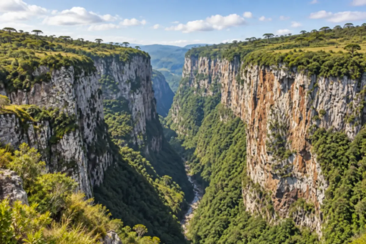
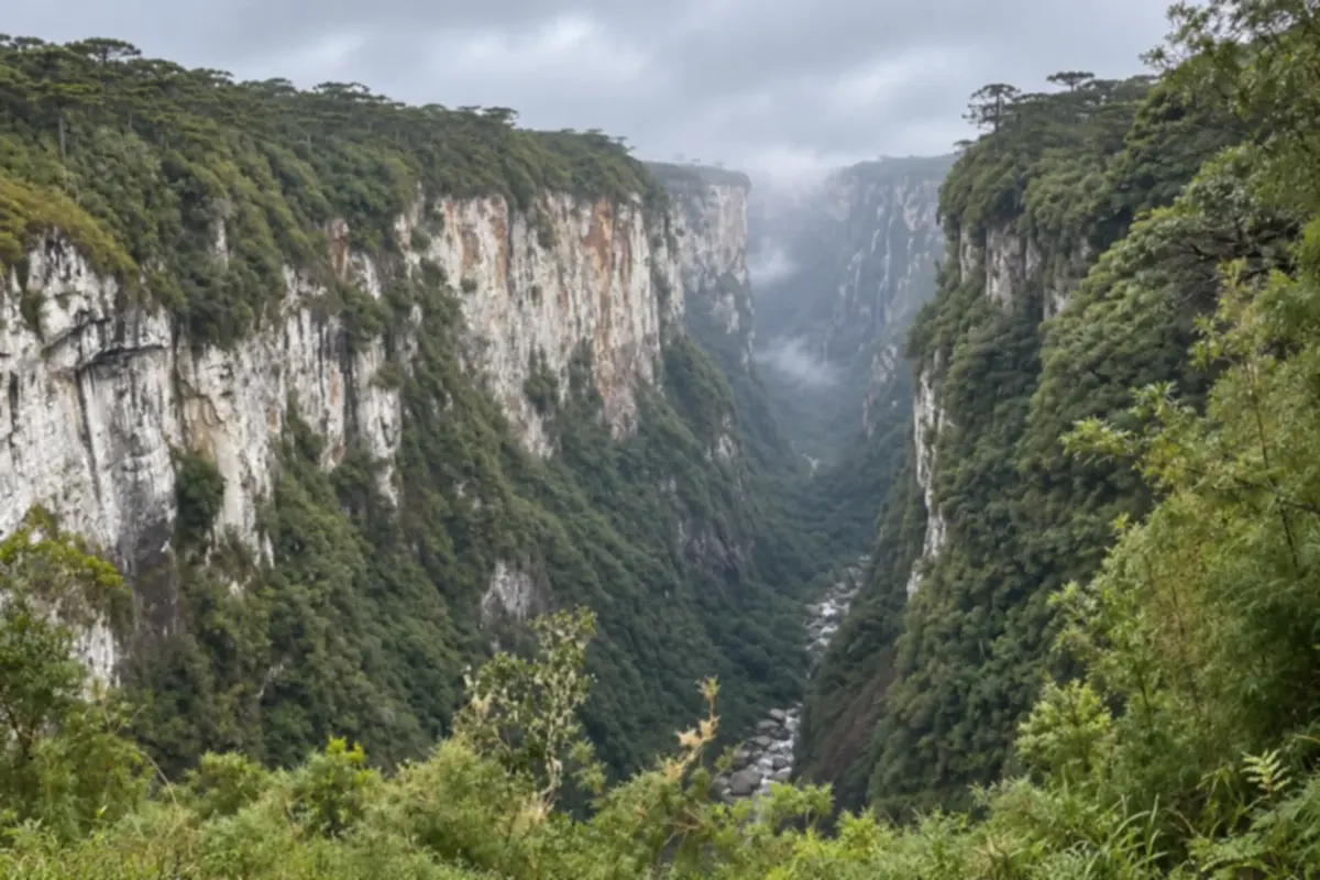
Itaimbezinho: 18 km from the center, on a dirt road, toward Praia Grande. Cânion Índios Coroados is on the same road, 5.5 km past the park entrance.
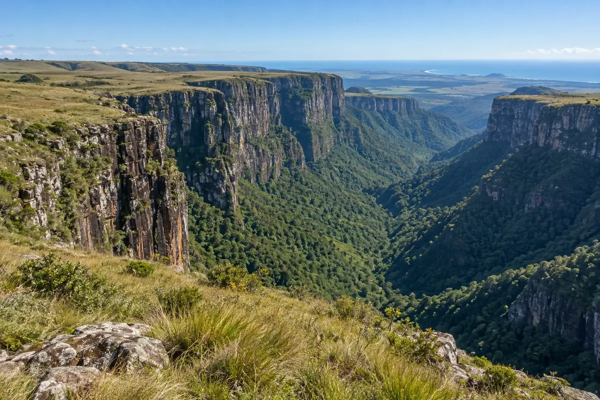
Fortaleza: about 23 km from the center, in another direction, part paved and part dirt.
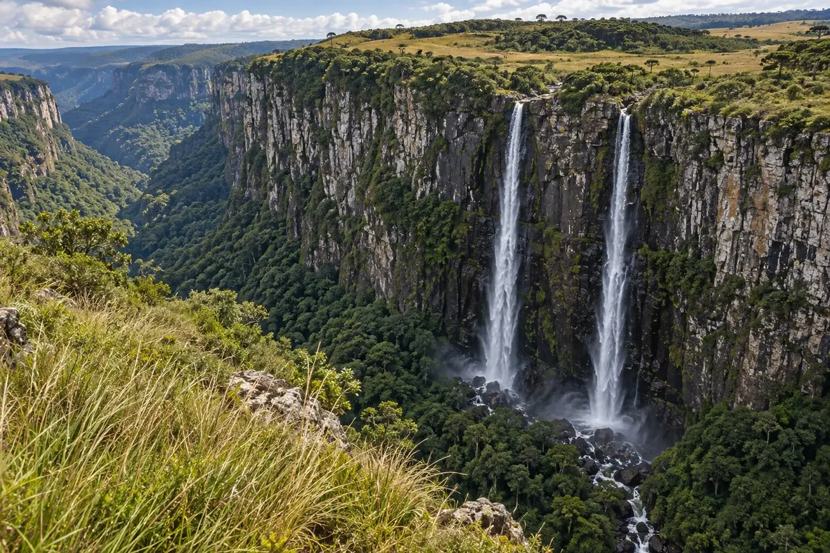
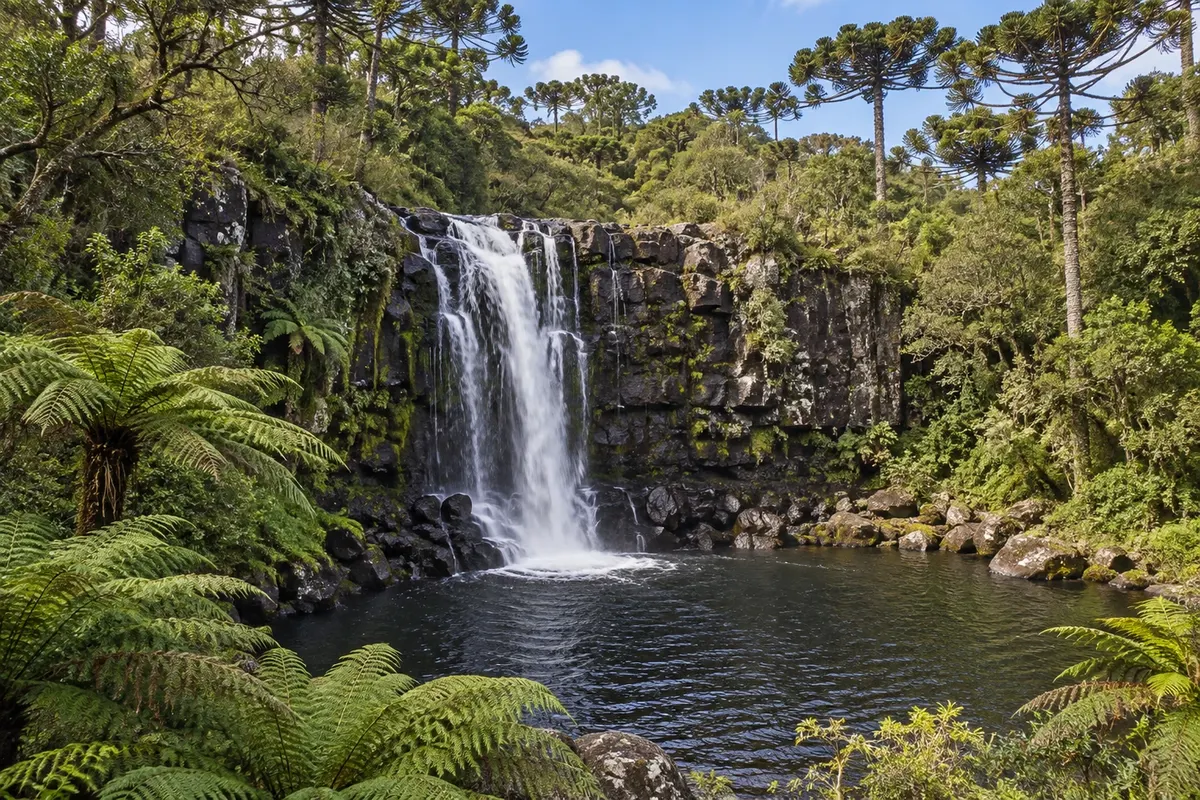
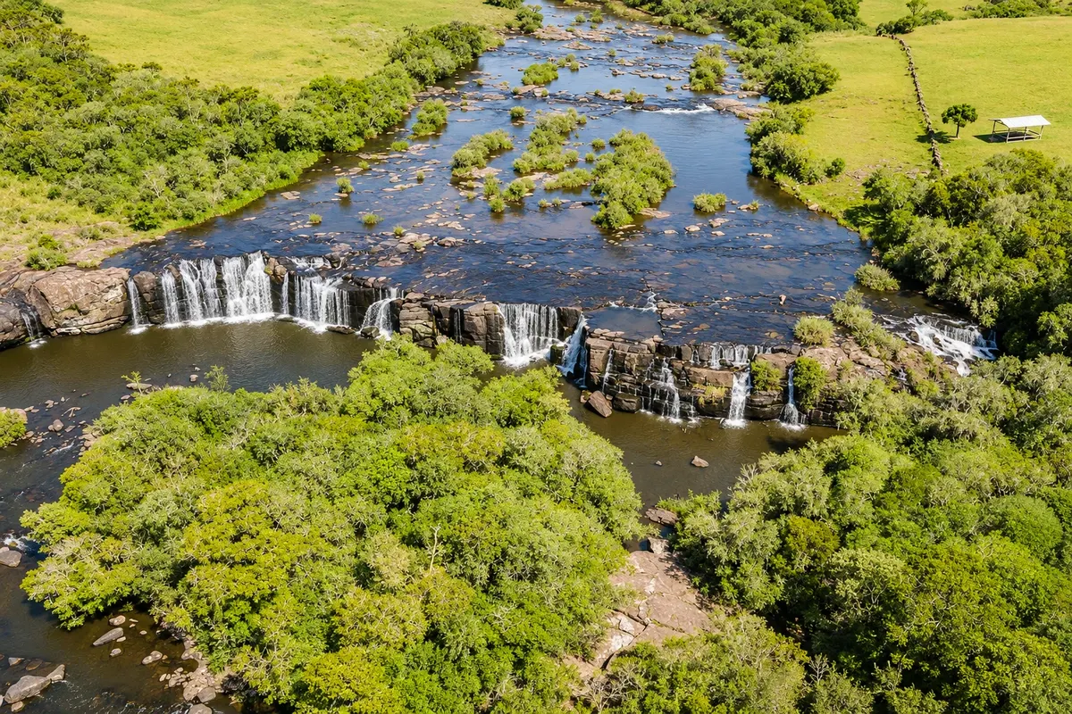
Cachoeira do Tio França: just over 3 km. Cachoeira dos Venâncios: 23 km, on a dirt road.
Regular cars can make these routes, slowly; the roads are rocky and, after rain, have mud and potholes. Allow more time than the distance suggests and avoid driving them at night or in heavy fog.
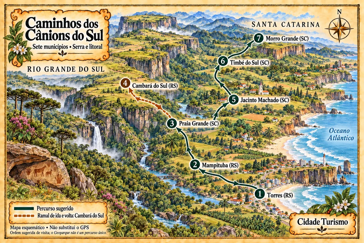
To Santa Catarina, the Itaimbezinho road continues over Serra do Faxinal and descends to Praia Grande. It’s a mountain road with steep drops, mostly unpaved; ask in town about its condition before descending.


 Antarctica
 Argentina
 Bolivia
 Chile
 Colombia
 Ecuador
 Guyana
 French Guiana
 Falkland Islands (Malvinas)
 Paraguay
 Peru
 Suriname
 Uruguay
 Venezuela
 Germany
 Austria
 Belgium
 Croatia
 Denmark
 Slovakia
 Slovenia
 Spain
 Finland
 France
 Greece
 the Netherlands
 Hungary
 Ireland
 Iceland
 Italy
 Luxembourg
 Norway
 Poland
 Portugal
 the United Kingdom
 the Czech Republic
 Sweden
 Switzerland
 Turkey
 Bermuda
 Canada
 the United States
 Greenland
 Mexico
 Saint Pierre and Miquelon
 the Dominican Republic
 Japan
 South Africa
 Egypt
 Australia
 Fiji
 New Zealand
 Papua New Guinea