Ituberá

Bahia · Brazil

Ituberá

In the destination Costa do Dendê.

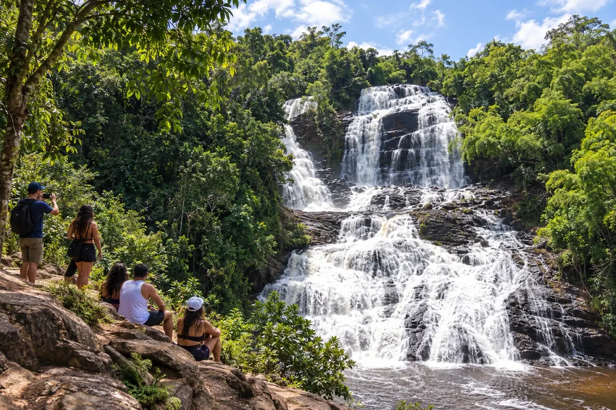
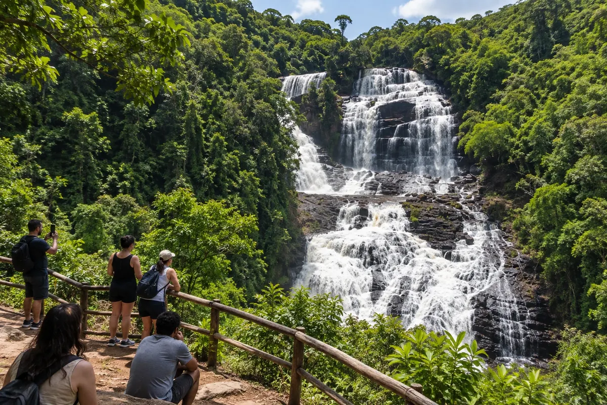
In the photo: Cachoeira da Pancada Grande in the visitor area with access from Ituberá.

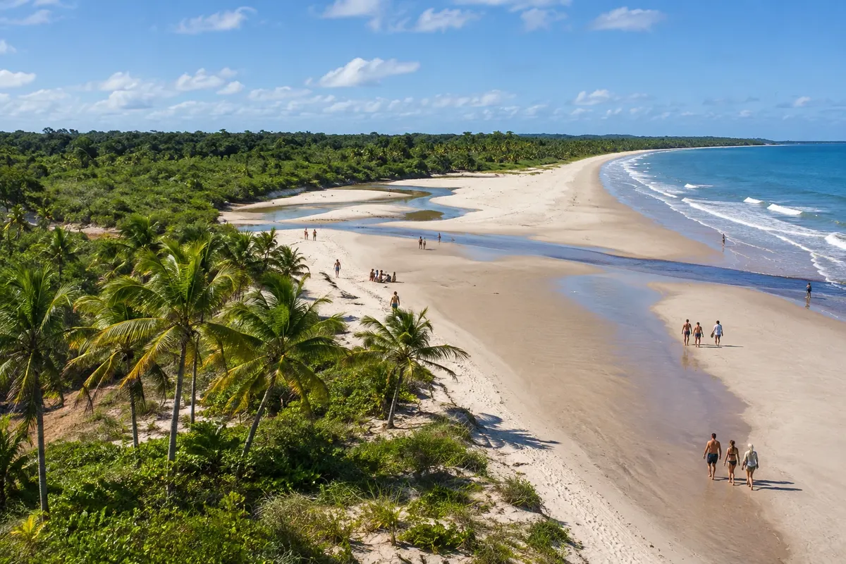
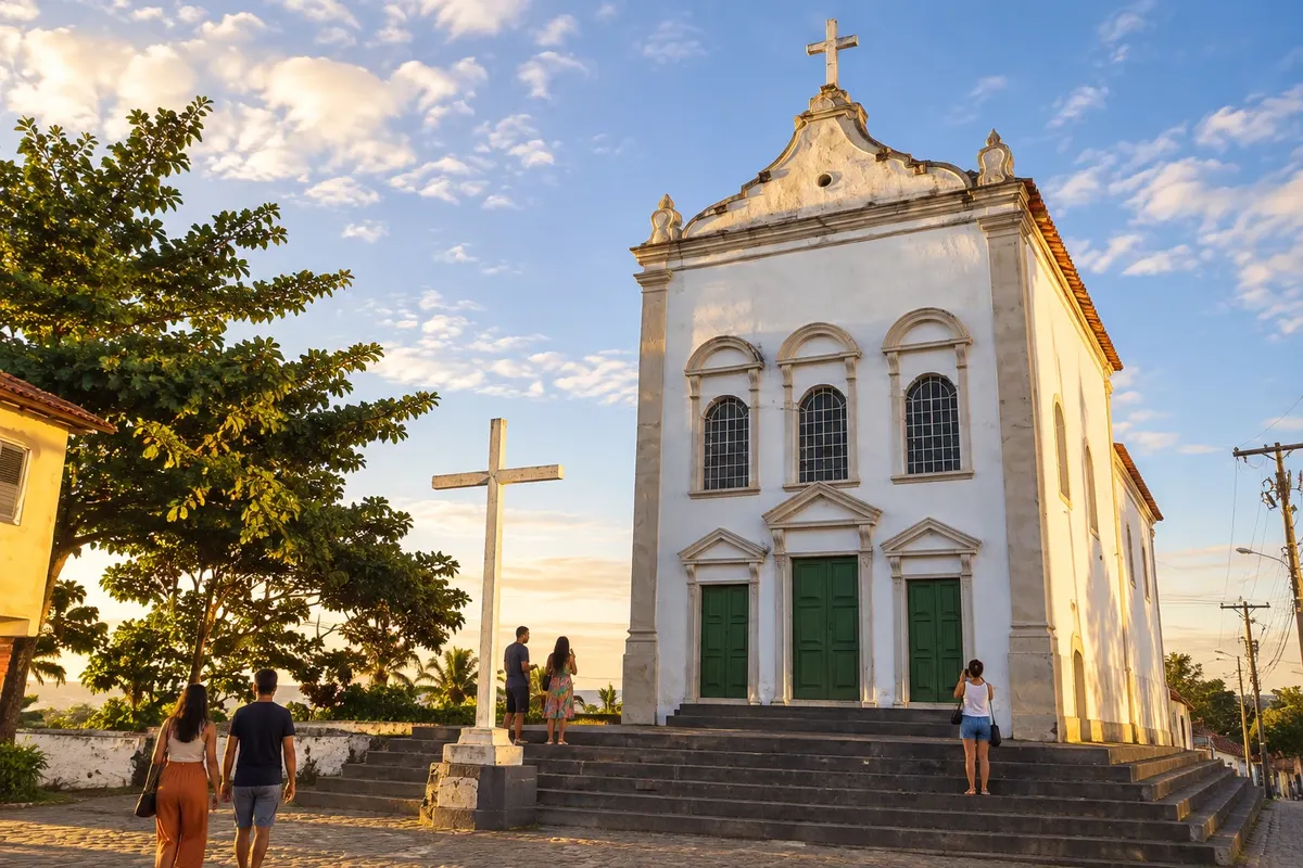
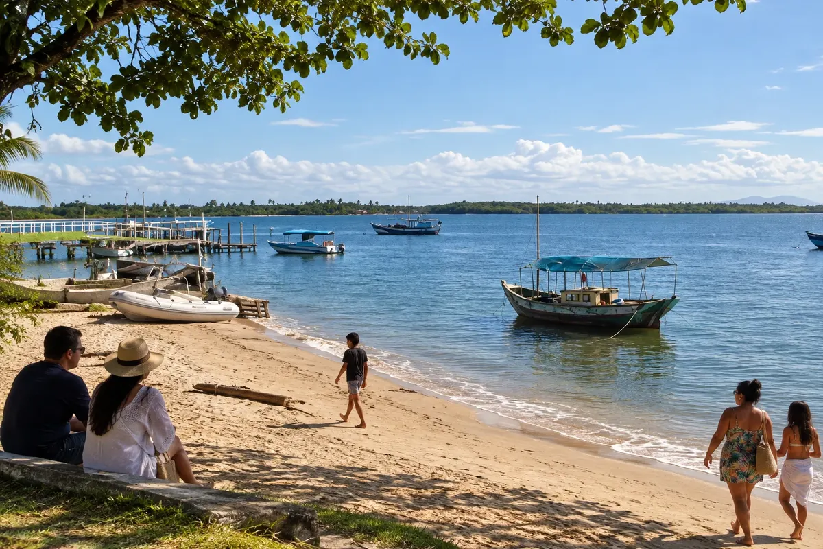
Illustrative images. The pictures in this guide are illustrations based on the real place, not photographs, and may differ from it.

Get it on Google Play Send your photos

The city

What to expect from Ituberá.

Ituberá was once known as Santarém and developed along the system of rivers and channels of the Serinhaém. Cachoeira da Pancada Grande, Praia de Pratigi and Barra de Serinhaém show the diversity of landscapes within the municipality.

Share: WhatsApp

Where to stay

There's no accommodation in the guide yet in Ituberá.

Where to eat

There are no restaurants in the guide yet in Ituberá.

Know a good one? Recommend it to us

Your trip

how to get there · how many days · itinerary · questions

The local experience

What to see in Ituberá

Beach

Praia de Pratigi

Pratigi is a coastal stretch of Ituberá, with sand, vegetation and a landscape linked to the environmental protection area. Visiting the beach has its own access separate from the municipal seat.

Discover Praia de Pratigi

Beach and village

Barra de Serinhaém

The village of Barra de Serinhaém lies on the coast of Ituberá, beside the channel that connects to the Baía de Camamu. The coastal strip and fishing life are part of the landscape.

Discover Barra de Serinhaém

Traveler, share your experiences through photos Up to 5 photos of each place you visited.

Brazilian routes

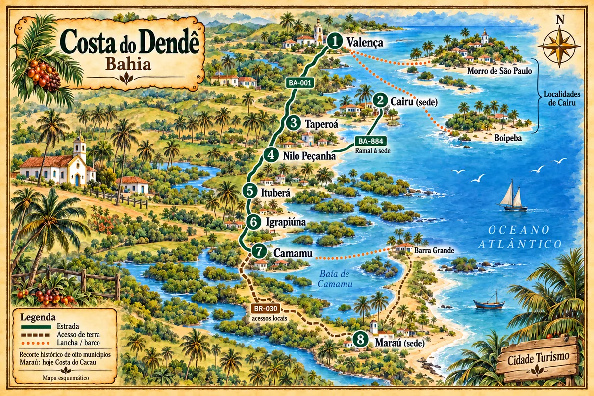
Ituberá is part of the Costa do Dendê

From the Rio Una to the Península de Maraú, the route combines towns of the Baixo Sul, beaches, heritage and crossings along the historic Costa do Dendê.

Illustrative map, not to scale. Tap a city to open its page.
Illustrated map of Costa do Dendê
Explore the Costa do Dendê
See the destination Costa do Dendê Find another city
Back