cave
Gruta do Lago Azul
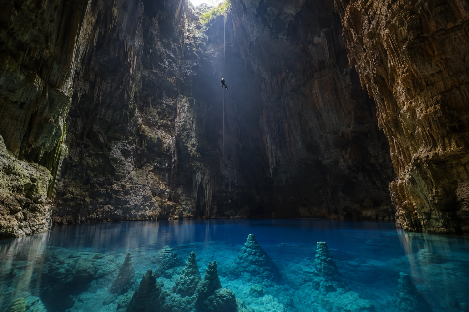
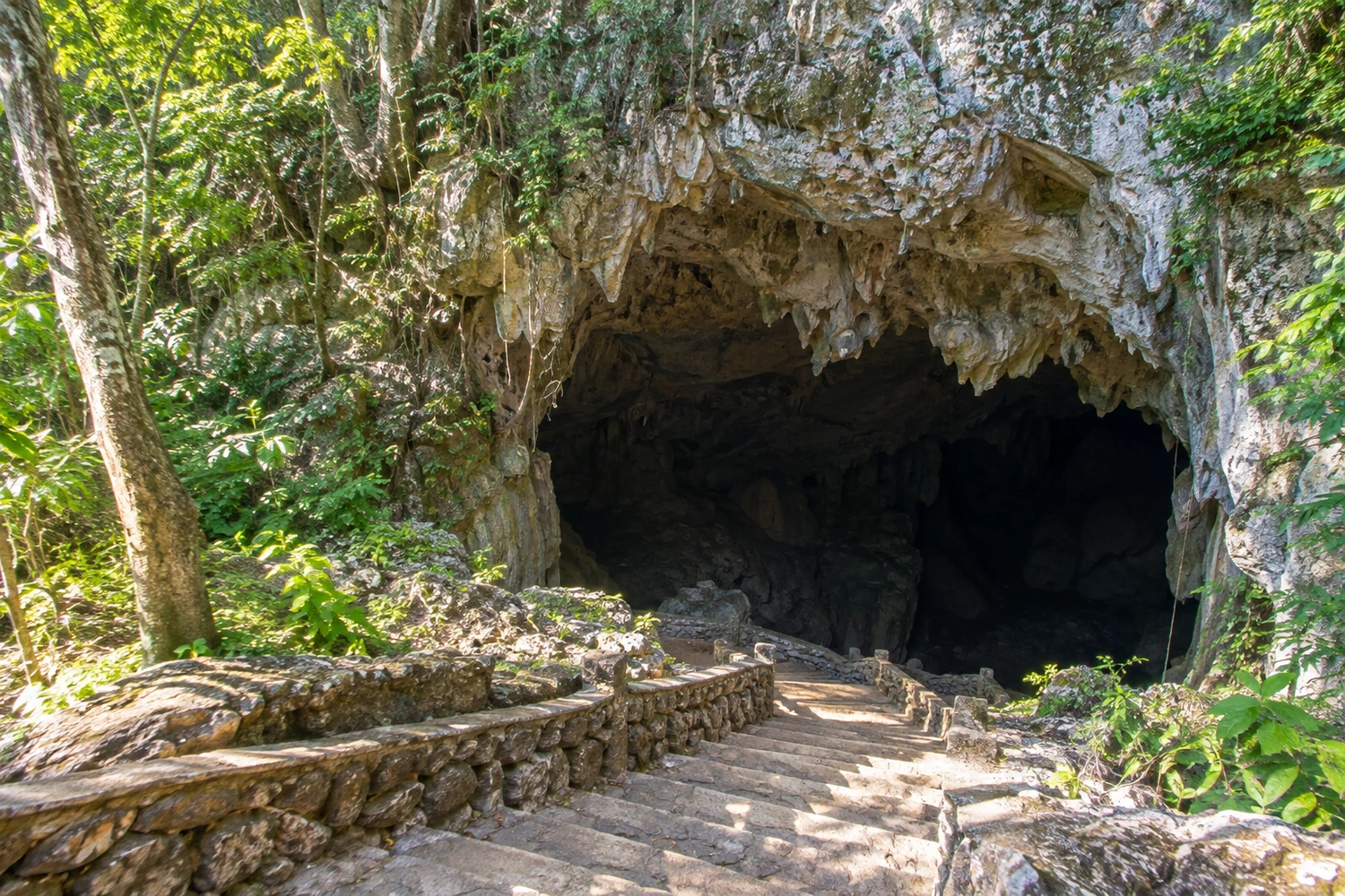
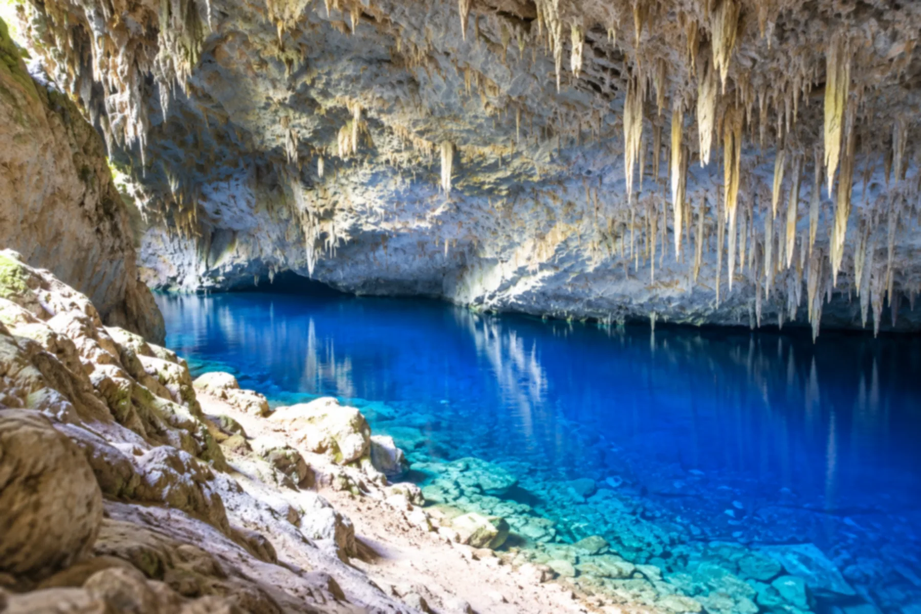
A monumental cave holding a deep-blue lake at the bottom, lit by sunlight entering through the cave mouth. The descent on stone steps passes huge stalactites.

Mato Grosso do Sul · Brazil
In the destination Bonito and Serra da Bodoquena.
Illustrative images. The pictures in this guide are illustrations based on the real place, not photographs, and may differ from it.

The city
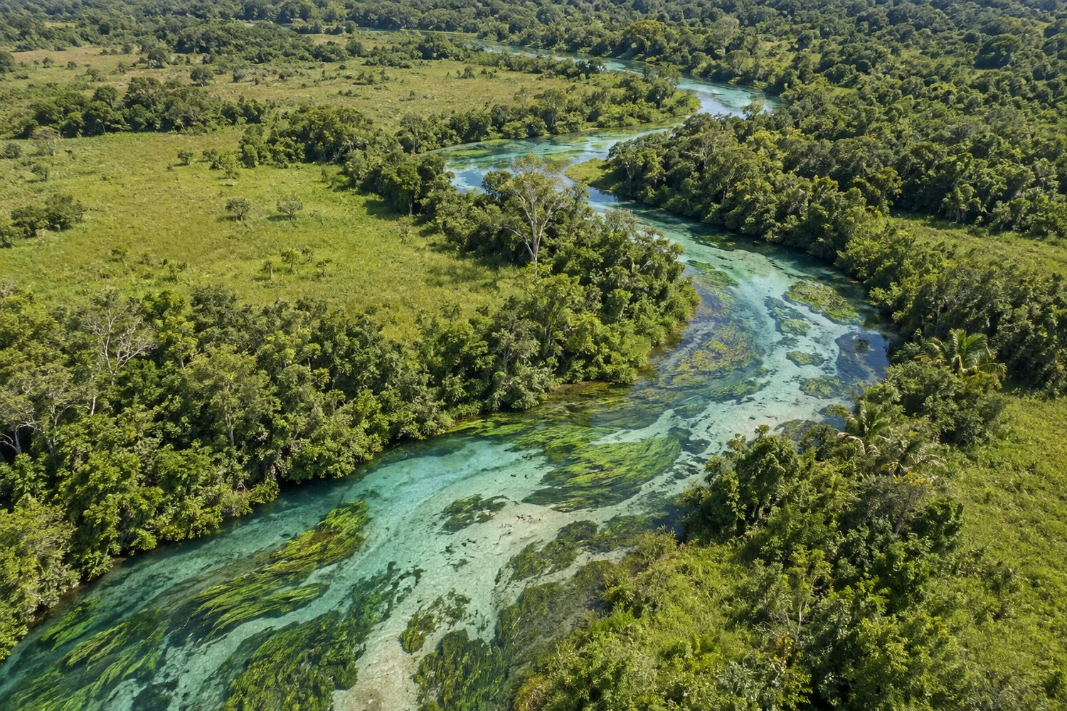
Bonito brings together clear rivers, caves and forest landscapes in the Serra da Bodoquena. The Gruta do Lago Azul and the aquatic environments reveal the link between the water and the region's limestone formations.
8 places to stay in Bonito.
3 places picked to eat.
how to get there · how many days · itinerary · questions
Brazilian routes
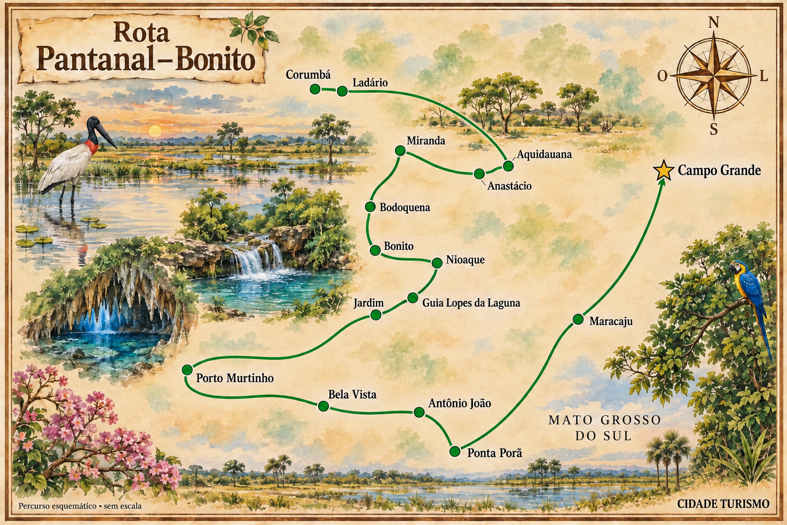
A journey through the landscapes of the Pantanal, the Bonito region and the cities in the south of Mato Grosso do Sul.
The local experience
A monumental cave holding a deep-blue lake at the bottom, lit by sunlight entering through the cave mouth. The descent on stone steps passes huge stalactites.
Considered one of the clearest rivers in the world, it rises in a natural pool and flows calmly among aquatic plants. The float is relaxed, ideal if you have never snorkeled.
You enter by a 72-meter rappel down to an underground lake surrounded by limestone cones. Down below you can snorkel or scuba dive among the formations.
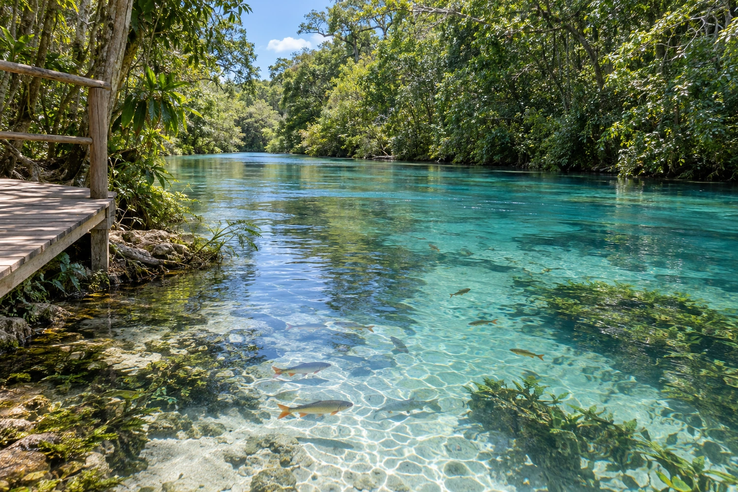
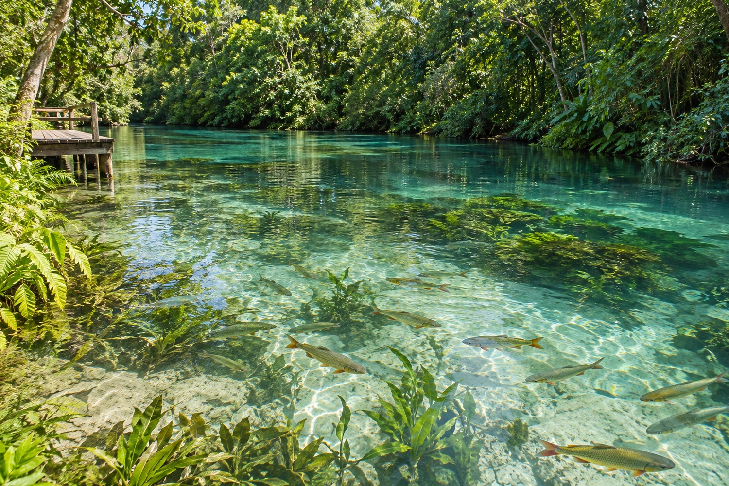
A public leisure area run by the city on the banks of the Rio Formoso, about 6.5 km from downtown. The clear water lets you see schools of fish up close, with shallow stretches for children and deeper areas for swimming.
The float starts at the spring itself, inside a protected area where fish swim right up to you. It is the best tour for families with children.
Discover Aquário Natural Baía Bonita