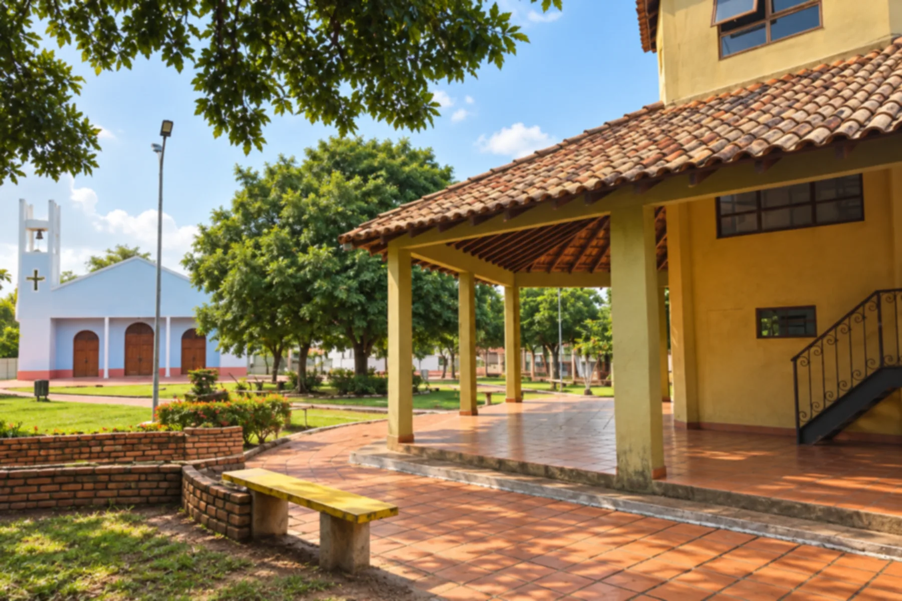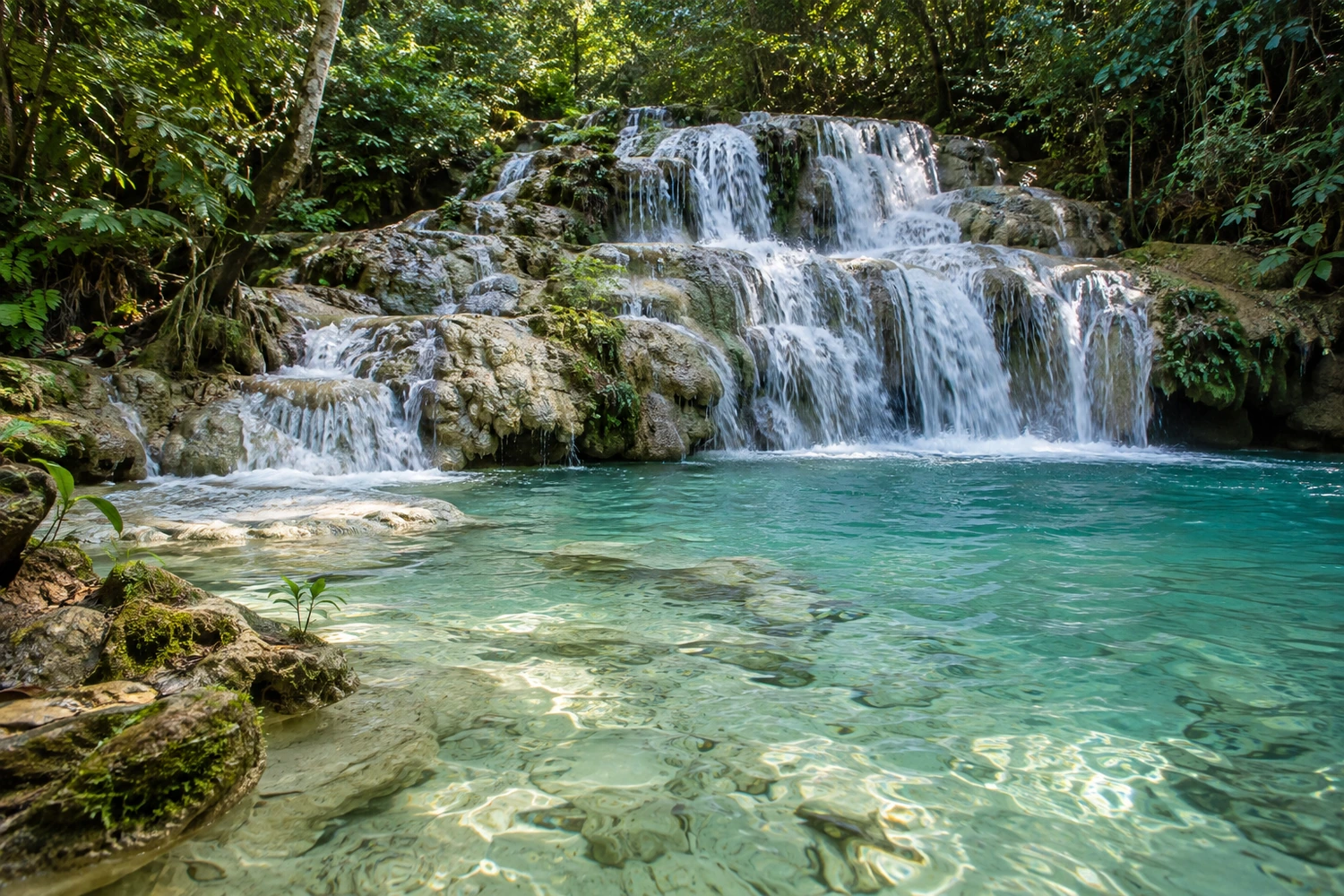
waterfall
An easy trail of about 2.5 km through the riverside forest of the Betione River, with seven waterfalls and several swimming stops. The tour includes a raft ride on the river and can be combined with kayaking or stand-up paddleboarding.
Discover Cachoeiras Serra da Bodoquena →
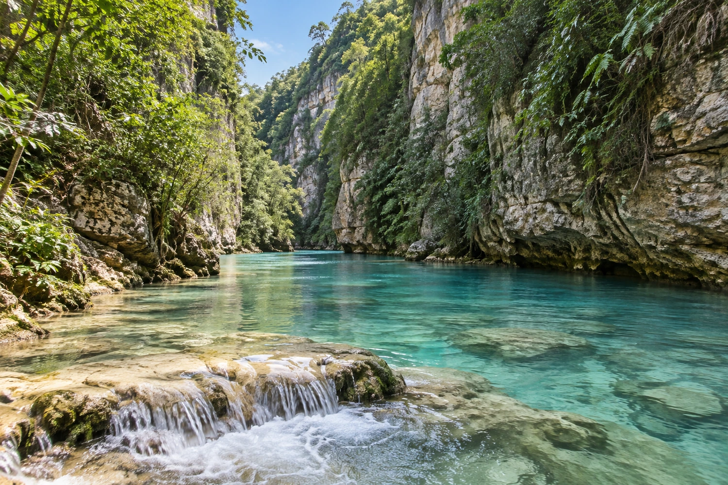
canyon
It is in the northern section of the Parque Nacional da Serra da Bodoquena, about 30 km from town, and is explored on a trail of approximately 5 km between rock walls. The route follows the banks and the bed of the river, with small waterfalls and natural pools.
Discover Cânion do Rio Salobra →
village
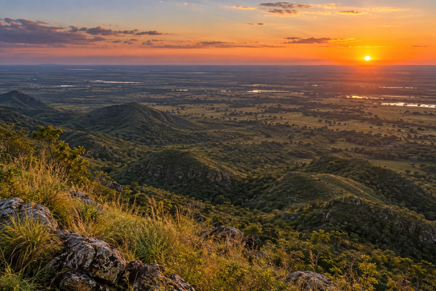
A hill village with viewpoints facing the Nabileque Pantanal and the Kadiwéu Indigenous lands. The area's rock formations are considered remnants of ancient ocean crust, and the roads draw cyclists.
Discover Morraria do Sul →
waterfall / trail
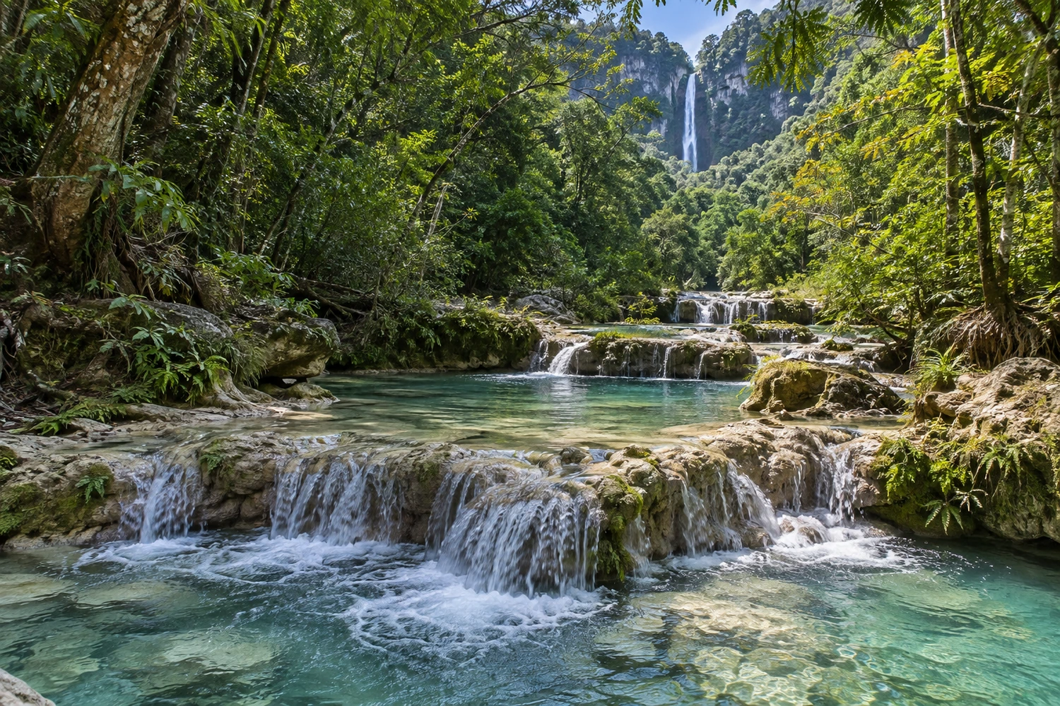
A trail of several hours past a series of waterfalls and natural pools to the tallest waterfall in Mato Grosso do Sul, at 156 meters. There is also a breathtaking rappel.
Discover Cachoeiras Boca da Onça →