Bodoquena

Mato Grosso do Sul · Brazil

Bodoquena

In the destination Bonito and Serra da Bodoquena.

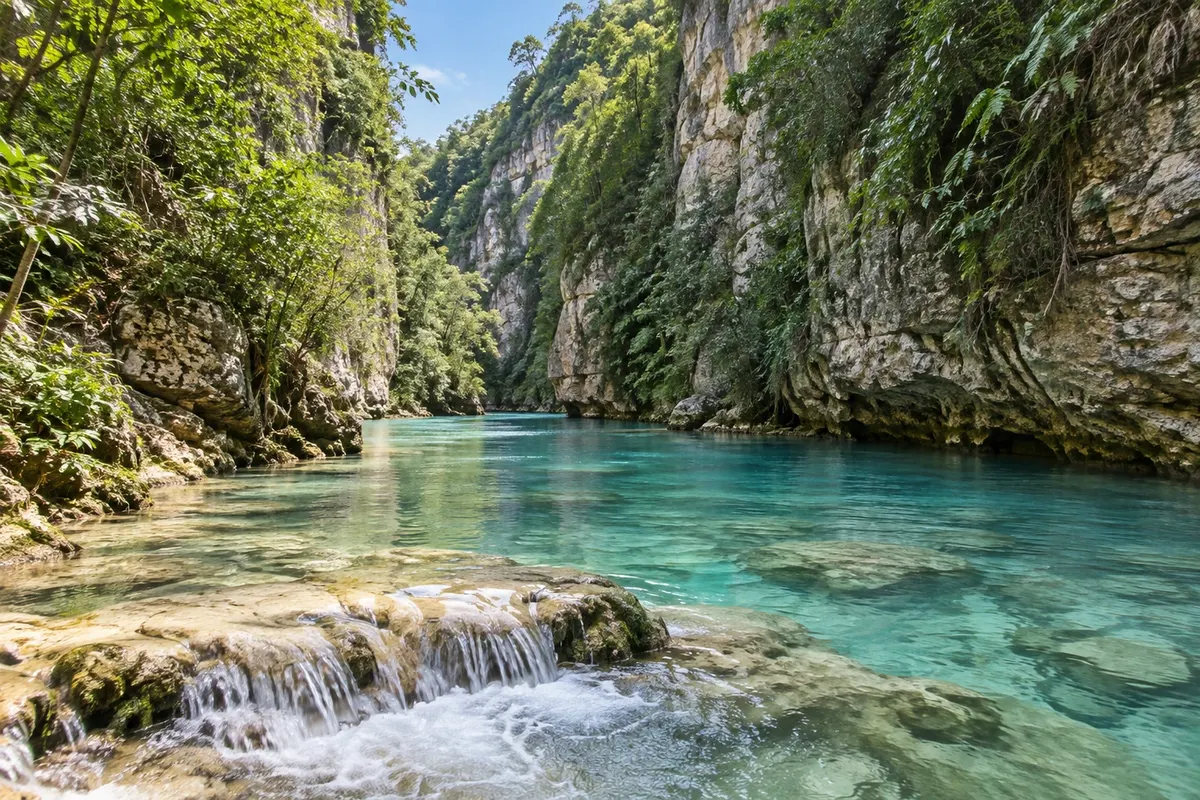
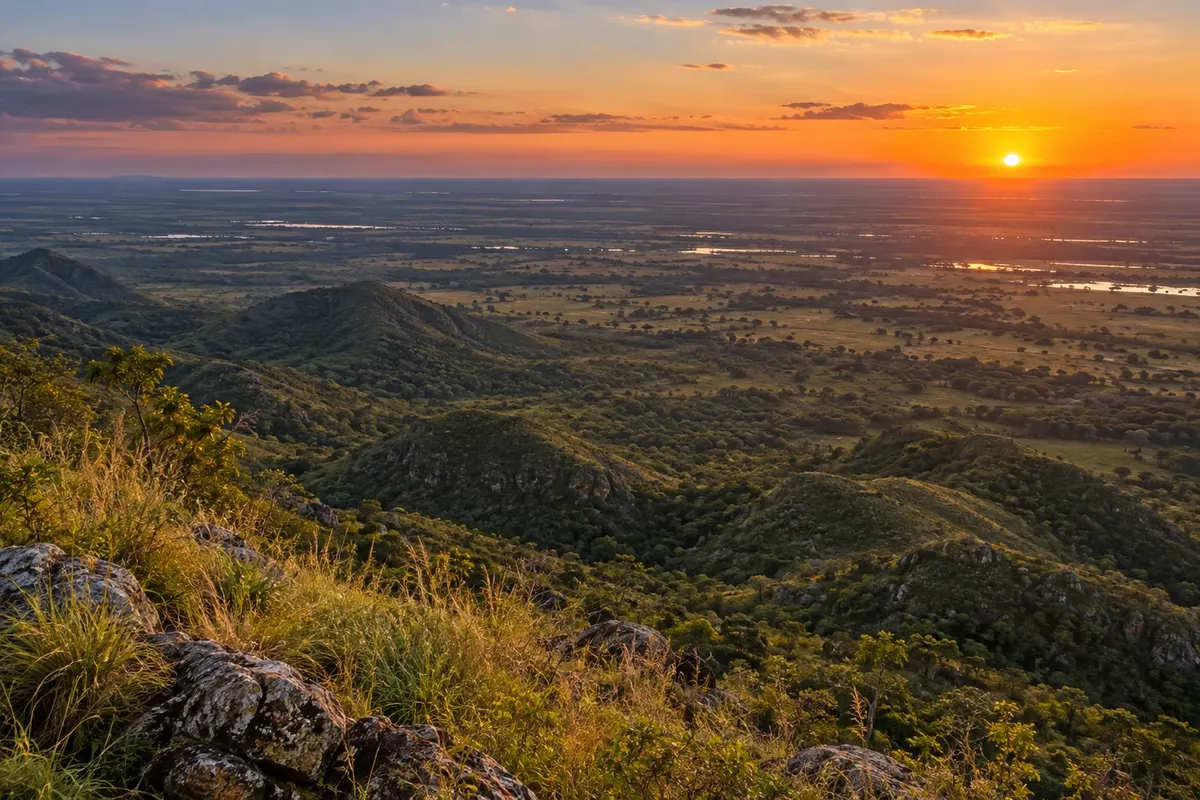
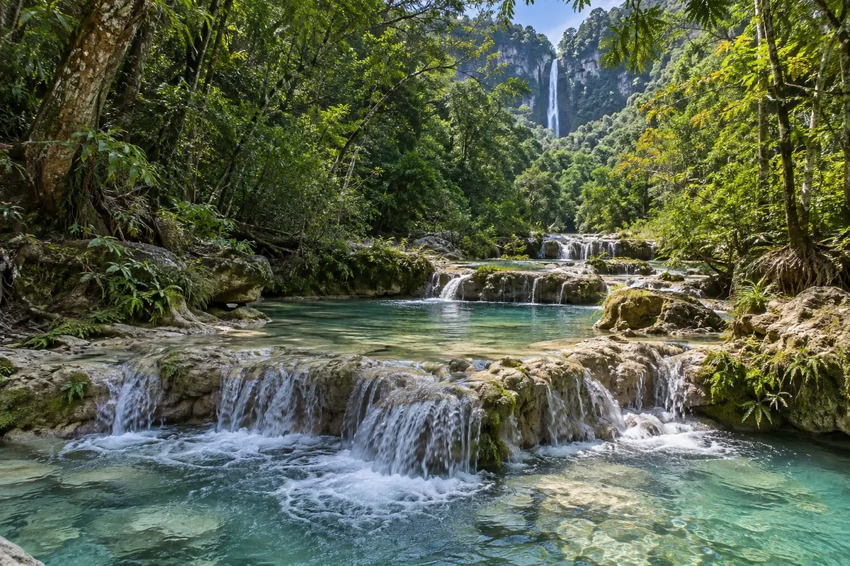
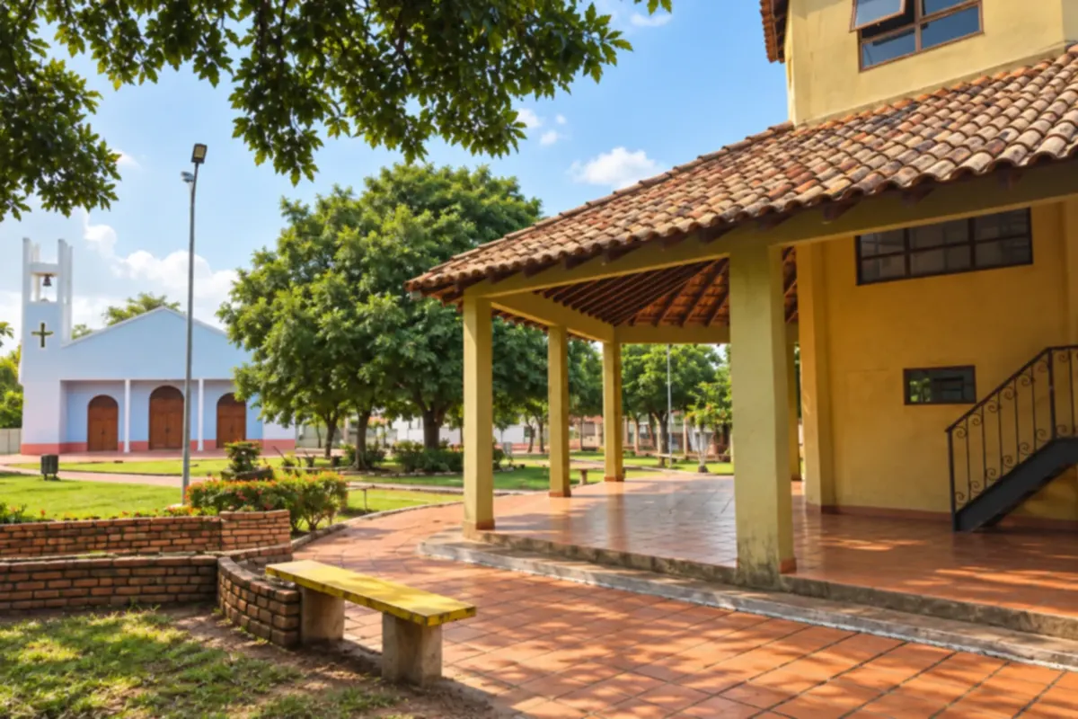
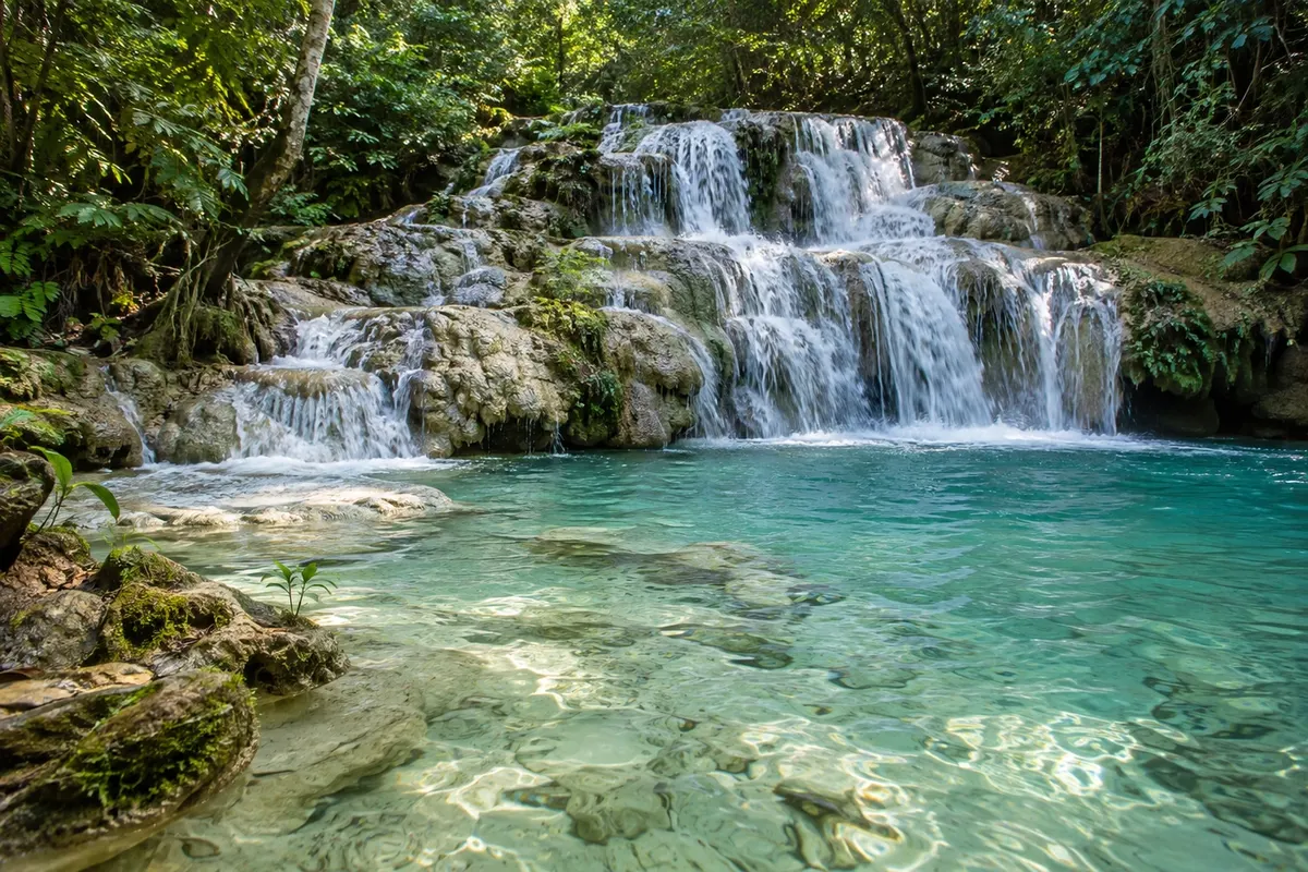
Illustrative images. The pictures in this guide are illustrations based on the real place, not photographs, and may differ from it.

Get it on Google Play Send your photos

The city

What to expect from Bodoquena.

Bodoquena brings together rivers, waterfalls and limestone formations in a hilly region of Mato Grosso do Sul. The natural landscape and the town's public spaces give visitors a glimpse of country life.

Share: WhatsApp

Where to stay

11 places to stay in Bodoquena.

Where to eat

There are no restaurants in the guide yet in Bodoquena.

Know a good one? Recommend it to us

Your trip

how to get there · how many days · itinerary · questions

Bodoquena highlights and titles

National park

The local experience

What to see in Bodoquena

canyon

Cânion do Rio Salobra

It is in the northern section of the Parque Nacional da Serra da Bodoquena, about 30 km from town, and is explored on a trail of approximately 5 km between rock walls. The route follows the banks and the bed of the river, with small waterfalls and natural pools.

Discover Cânion do Rio Salobra

village

Morraria do Sul

A hill village with viewpoints facing the Nabileque Pantanal and the Kadiwéu Indigenous lands. The area's rock formations are considered remnants of ancient ocean crust, and the roads draw cyclists.

Discover Morraria do Sul

Before you go

Your trip to Bodoquena

Bodoquena – MS Destination Bonito and Serra da Bodoquena about 260 km from Campo Grande

How to get there

  • Aeroporto Regional de Bonito (BYO) Bonito · 87 km
  • Aeroporto Internacional de Campo Grande (CGR) Campo Grande · 258 km
  • Terminal Rodoviário de Bodoquena

Approximate distances. Check flights and bus, train or boat schedules before you travel.

Bodoquena is 260 km from Campo Grande and about an hour from Bonito, where most visitors come from, by car or with an agency. Expresso Mato Grosso runs buses from the Campo Grande bus station. The nearest airport is Bonito, 87 km away; Campo Grande has more flights.

How many days

Each tour takes a full day. Two days cover Boca da Onça and the Cachoeiras Serra da Bodoquena; add a third for the Cânion do Rio Salobra.

When to go

The waterfalls are fullest in the rainy season, from December to March, and the trails are firmer in the dry season, from April to September. In May, the month of the town's anniversary, there are festivities.

The seasons shown are the most usual ones; nature doesn't always follow the calendar.

Do you need a car?

Yes, or a tour with agency transportation. The attractions are on ranches and in the hills, outside town, and the Cânion do Rio Salobra is about 30 km from downtown.

Suggested itinerary

An order that works

Built with the places on this page. No rush: it's paced so you have time to see them.

One day in Bodoquena
  1. Morning
    Cachoeiras Boca da Onça

    A full-day outing to the state's highest waterfall, 156 meters. A long trail with many steps.

2 days in Bodoquena

Day 1

  1. Morning
    Cachoeiras Boca da Onça

    The whole day, with meals at the ranch.

Day 2

  1. Morning
    Cachoeiras Serra da Bodoquena

    Eight waterfalls along a trail of about 2 km, with swimming in the pools. No age restriction.

Check before you go. Opening hours and days change, and places may close for renovations, holidays or events. This itinerary is a suggestion from Cidade Turismo, not a commitment: plan yours by checking directly with each place you intend to visit.

Before you go

Frequently asked questions

Does Bodoquena use the Bonito voucher?

No. Bodoquena has its own voucher system, open to the agencies that operate in the destination. Tours are also sold by Bonito agencies.

Do I need a guide for the Cânion do Rio Salobra?

Yes. The trail is in the Parque Nacional da Serra da Bodoquena and can only be done with a guide accredited by ICMBio.

Is Boca da Onça strenuous?

It is one of the most tiring outings in the region: the full trail is about 4 km with almost 900 steps, with an optional rappel. There is a shorter trail of just over 2 km.

What is Morraria do Sul?

A district of Bodoquena, in the hills, with viewpoints facing the Pantanal and a community-run pousada (guesthouse). It is far from the town center: ask about the road before you go.

Traveler, share your experiences through photos Up to 5 photos of each place you visited.

Brazilian routes

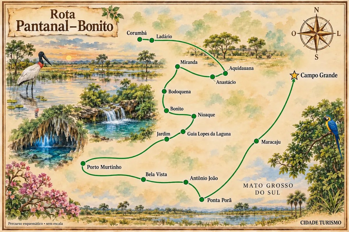
Bodoquena is part of the Pantanal–Bonito Route

A trip through the landscapes of the Pantanal, the Bonito region and the cities in the south of Mato Grosso do Sul.

Illustrative map, not to scale. Tap a city to open its page.
Illustrated map of Pantanal–Bonito Route
Explore the Pantanal–Bonito Route
See the destination Bonito and Serra da Bodoquena Find another city

Beyond the guide