1 city

 Search
 Brazil
 Antarctica
 Argentina
 Bolivia
 Chile
 Colombia
 Ecuador
 Guyana
 French Guiana
 Falkland Islands (Malvinas)
 Paraguay
 Peru
 Suriname
 Uruguay
 Venezuela
 Germany
 Austria
 Belgium
 Croatia
 Denmark
 Slovakia
 Slovenia
 Spain
 Finland
 France
 Greece
 the Netherlands
 Hungary
 Ireland
 Iceland
 Italy
 Luxembourg
 Norway
 Poland
 Portugal
 the United Kingdom
 the Czech Republic
 Sweden
 Switzerland
 Turkey
 Bermuda
 Canada
 the United States
 Greenland
 Mexico
 Saint Pierre and Miquelon
 the Dominican RepublicJapanTurkey
 South Africa
 Egypt
 Australia
 Fiji
 New Zealand
 Papua New Guinea
Province · Kansai
Mount Koya and its monasteries, the Kumano Kodo trails, Nachi Waterfall, the beaches of Shirahama and Wakayama Castle.
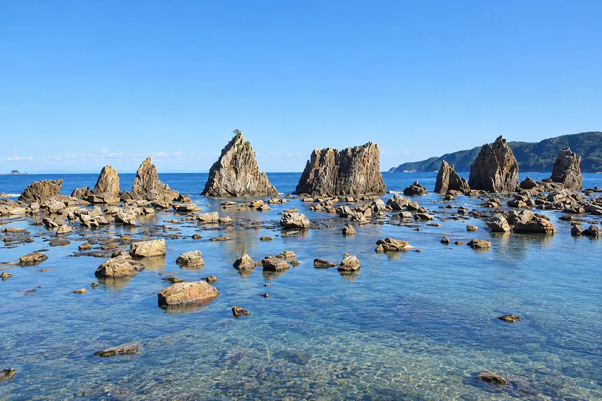
In the photo: Hashigui-iwa rocks, in Wakayama.
Illustrative images. The pictures in this guide are illustrations based on the real place, not photographs, and may differ from it.

The province
Wakayama occupies most of the Kii Peninsula, facing the Pacific, with forested mountains, rivers and a long coastline. The climate is mild. The prefecture is known for mikan tangerines and ume plums, preserved in salt as umeboshi. The capital, Wakayama, has a white castle on a hill.
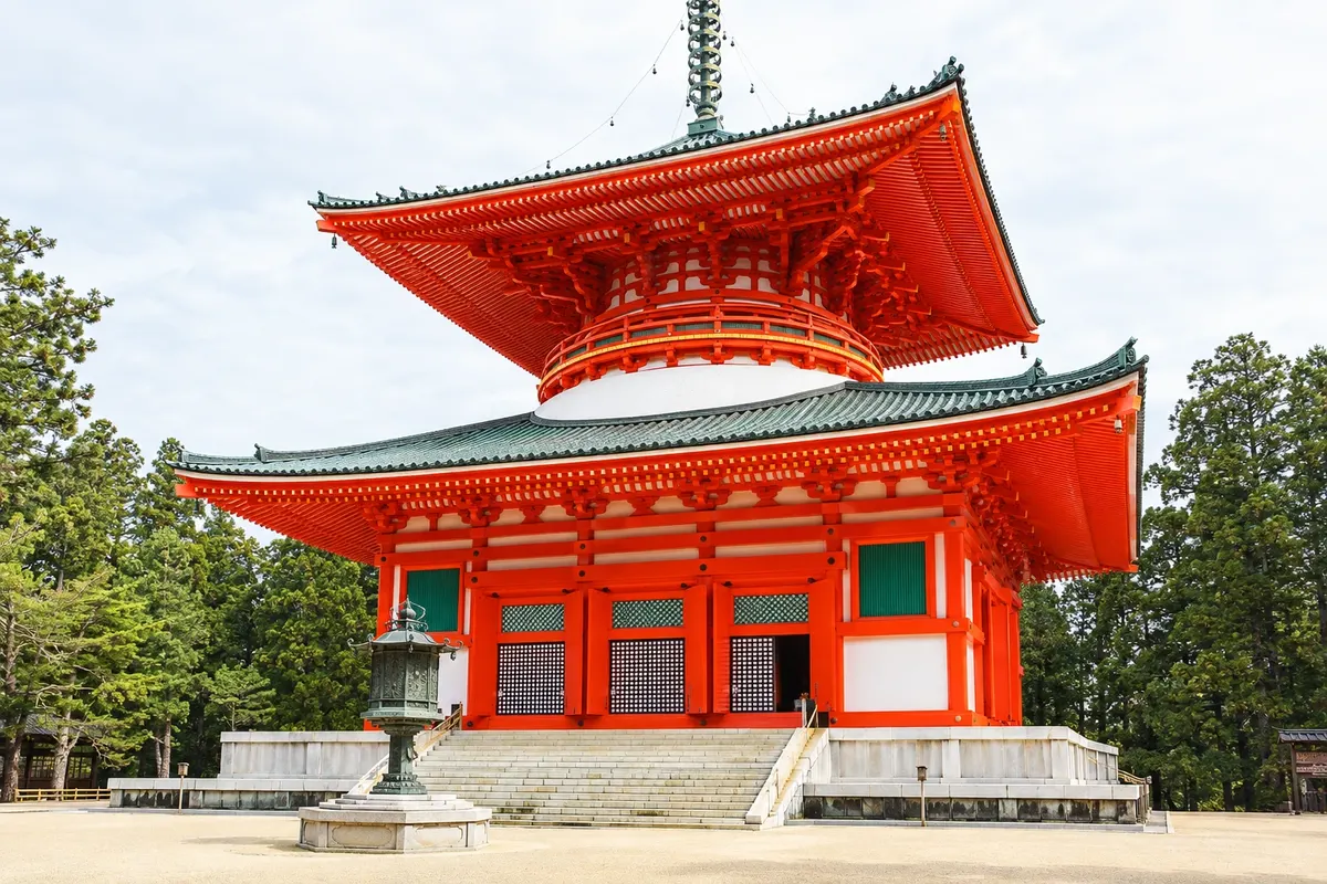
On Mount Koya, Kukai, also called Kobo Daishi, founded in the ninth century the center of Shingon Buddhism. On a plateau about 800 meters high, more than a hundred temples surround the Danjo Garan, with the large red pagoda, and the Okunoin, a cemetery with over 200,000 graves under enormous cedars, which leads to Kukai’s mausoleum. Many temples accept overnight guests, offering vegetarian meals and morning prayer.
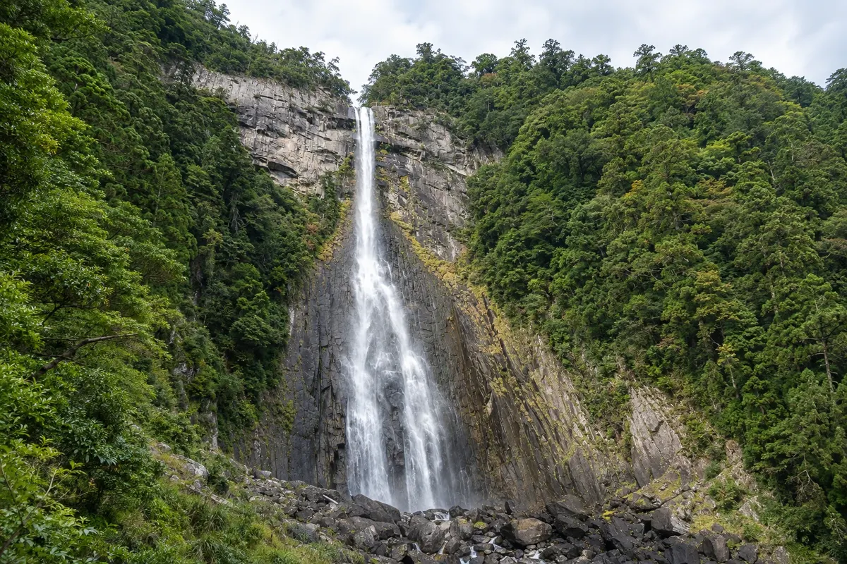
The Kumano Kodo links pilgrimage trails to the three great Kumano shrines: Hongu Taisha, Hayatama Taisha and Nachi Taisha. The Nakahechi route, the most traveled, crosses mountains and villages with lodgings along the way. In Nachi, the red pagoda of Seiganto-ji stands before Nachi Waterfall, the country’s tallest single-drop waterfall. Koya, Kumano and the routes between them have been a UNESCO World Heritage Site since 2004.
On the coast, Shirahama has a white sand beach, seaside hot springs and the Sandanbeki cliffs. Kushimoto marks the southernmost point of Honshu. In the mountains, the hot-spring village of Yunomine preserves the Tsuboyu, a small stone bath that is part of the UNESCO listing.
Destinations
Cities
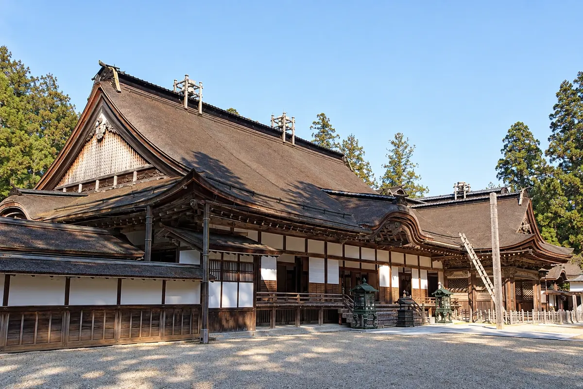
Koya is the small town atop Mount Koya, about 800 meters above sea level, that grew around the Shingon Buddhist temples founded by Kukai in 816. The Okunoin cemetery, the Danjo Garan complex, Kongobu-ji temple and the Daimon gate are part of the Kii Mountains World Heritage Site. Dozens of temples host guests, offering vegetarian meals and the morning ceremony.
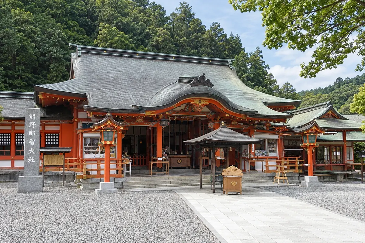
Nachikatsuura is the coastal town on the southeast of the Kii Peninsula that brings together Kumano Nachi Taisha, the Seiganto-ji temple and Nachi Falls, 133 meters high in the mountains, and the fishing port of Katsuura, with hot springs and a tuna market. Nearby Shingu, about 15 km away, is home to Kumano Hayatama Taisha, the third of the great shrines.
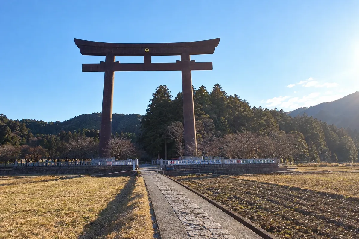
Tanabe is the coastal city on the west side of the Kii Peninsula that serves as the gateway to the Kumano Kodo. The municipality stretches up to the Hongu mountains and includes Kumano Hongu Taisha, the main section of the Nakahechi trail starting at Takijiri-oji, and the hot spring villages of Yunomine and Kawayu. In the city center, near Kii-Tanabe Station, is the pilgrims’ information center.
The Kumano Kodo trails are most pleasant in spring, from March to May, and in autumn, from October to November. July and August are humid on the trails, and typhoons, frequent between August and October, sometimes close sections. It gets cold and can snow on Koya in winter. In July, the Nachi fire festival carries giant torches up the shrine steps.
To Koya, the Nankai Railway runs from Osaka-Namba to Gokurakubashi in about 1.5 hours; from there you take a cable car and a bus. For Kumano, JR limited express trains connect Shin-Osaka to Kii-Tanabe in about 2 hours, and buses go on to Hongu. Nanki-Shirahama Airport (SHM) has flights from Tokyo. Wakayama city is about 1 hour from Osaka and about 40 minutes from Kansai Airport.
Your questions
Temples host guests in tatami rooms, with vegetarian dinner and breakfast, the shojin ryori cuisine. Early in the morning guests can attend the monks’ prayer. Reservations are made in advance.
Two to three days of walking allow you to cover the Nakahechi route from Takijiri to Hongu Taisha, staying in lodgings along the way. With one or two more days you can include Hayatama Taisha and Nachi.
By Nankai Railway, from Namba to Gokurakubashi in about 1.5 hours, then by cable car and bus up to the plateau center. The total trip takes about 2 hours.
No. The main trails are waymarked, including in English, and there are official maps. Local services transport baggage between lodgings, which tend to fill up in spring and autumn.
Beyond the guide