2 cities

 Search
 Brazil
 Antarctica
 Argentina
 Bolivia
 Chile
 Colombia
 Ecuador
 Guyana
 French Guiana
 Falkland Islands (Malvinas)
 Paraguay
 Peru
 Suriname
 Uruguay
 Venezuela
 Germany
 Austria
 Belgium
 Croatia
 Denmark
 Slovakia
 Slovenia
 Spain
 Finland
 France
 Greece
 the Netherlands
 Hungary
 Ireland
 Iceland
 Italy
 Luxembourg
 Norway
 Poland
 Portugal
 the United Kingdom
 the Czech Republic
 Sweden
 Switzerland
 Turkey
 Bermuda
 Canada
 the United States
 Greenland
 Mexico
 Saint Pierre and Miquelon
 the Dominican RepublicJapanTurkey
 South Africa
 Egypt
 Australia
 Fiji
 New Zealand
 Papua New Guinea
Province · Chubu
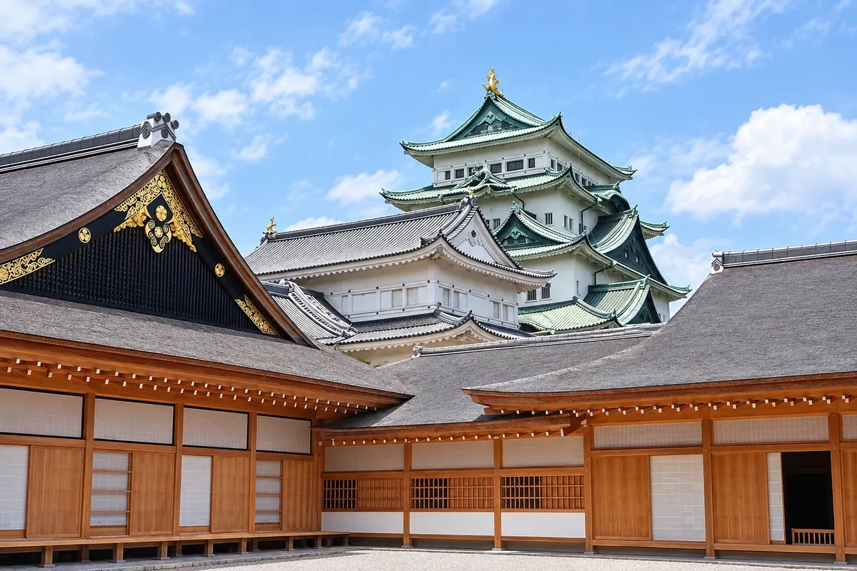
Nagoya and the Golden Dolphin Castle, the Atsuta Shrine, the industry museums, Inuyama Castle and the ceramics of Tokoname and Seto.
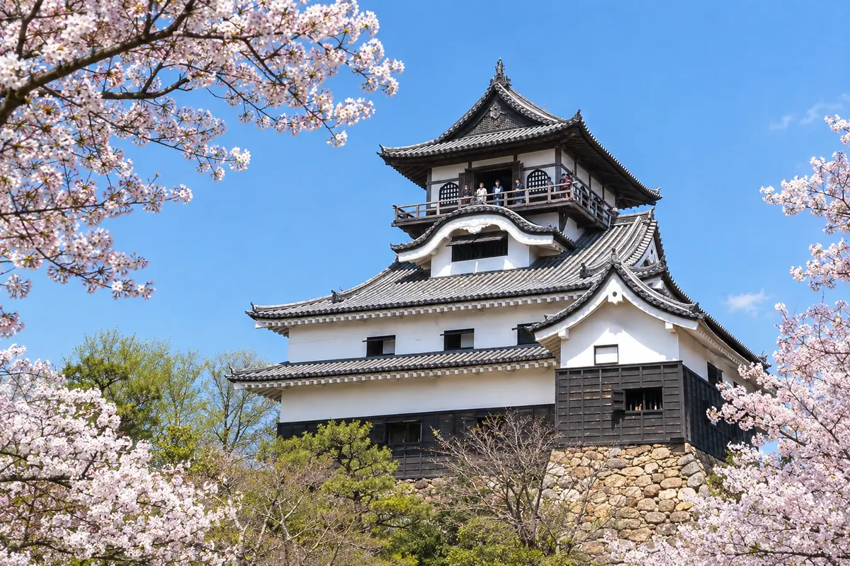
In the photo: Inuyama Castle, in Aichi.
Illustrative images. The pictures in this guide are illustrations based on the real place, not photographs, and may differ from it.

The province
Aichi lies in central Japan, facing Ise Bay, and is the country’s most industrial region, with automobile and parts factories around Toyota. The capital, Nagoya, is Japan’s fourth-largest city. Three of the 16th-century unifiers of Japan — Oda Nobunaga, Toyotomi Hideyoshi and Tokugawa Ieyasu — were born in this area.
Atop Nagoya Castle’s roof sit two golden dolphin-like fish, the shachihoko, and the Hommaru Palace, rebuilt using traditional techniques, displays rooms painted in gold. Atsuta Shrine is said, according to tradition, to enshrine one of the three imperial regalia, the sword Kusanagi. The industry museums tell the story of looms and Toyota automobiles and exhibit bullet trains and magnetic levitation trains.
Nagoya’s food includes local specialties: hitsumabushi, grilled eel over rice served in three stages; miso katsu, breaded meat with a dark miso sauce; tebasaki, seasoned chicken wings; and kishimen, a flat noodle. Cafés serve toast and egg with coffee in the morning.
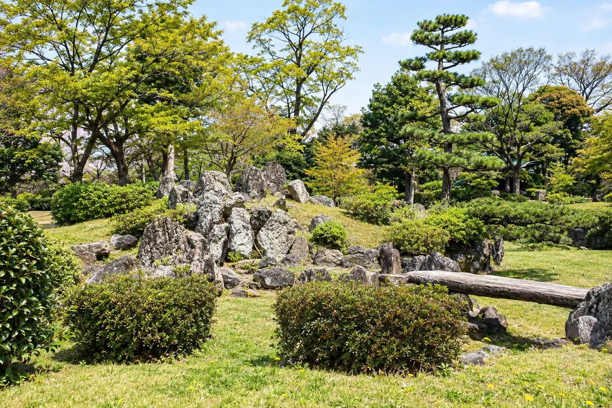
In Inuyama, the original keep castle, a national treasure, stands above the Kiso River, and the Urakuen garden preserves the Joan tea house. Nearby, the open-air Meiji Mura museum gathers buildings from the late 19th and early 20th centuries. Tokoname and Seto are ceramics towns with kilns and lanes of workshops, and Korankei Gorge in Toyota turns red in autumn.
Destinations
Cities
Capital of Aichi Prefecture and Japan’s fourth-largest city, Nagoya lies on the Tokaido Shinkansen line between Tokyo and Kyoto. It has Nagoya Castle and the Honmaru Palace, Atsuta Shrine, the Tokugawa Art Museum, the Toyota Commemorative Museum of Industry and Technology, and its own local cuisine featuring eel, dark miso, and chicken wings.
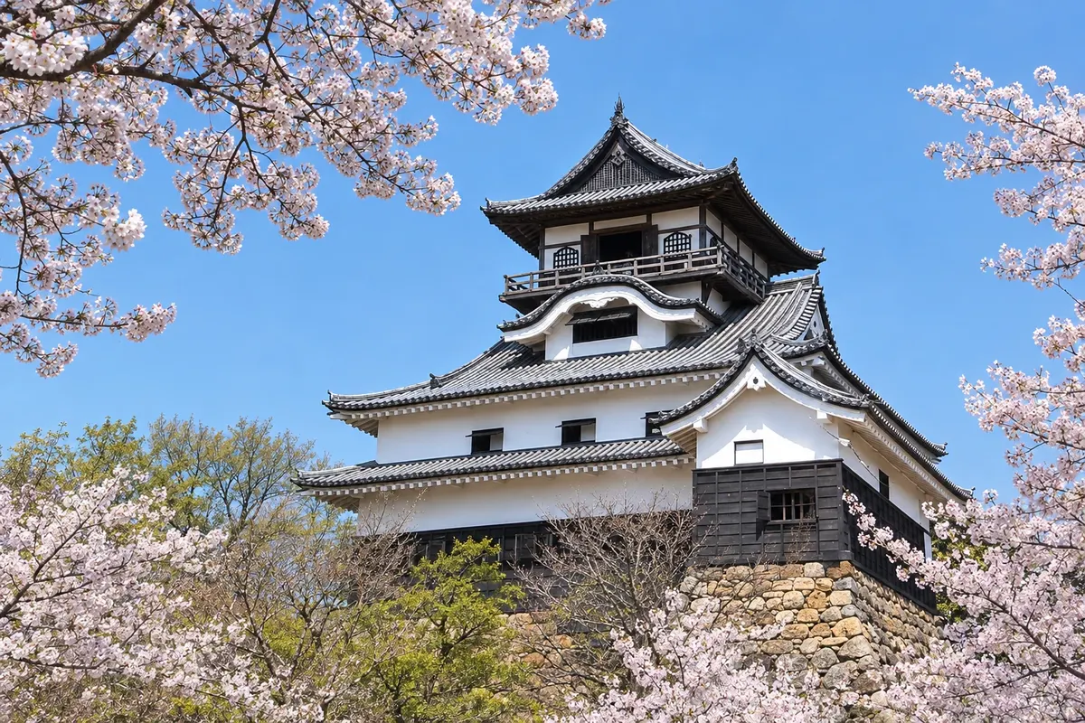
City on the banks of the Kiso River, north of Nagoya, Inuyama preserves a castle keep from the Edo period, a national treasure, overlooking the river. At the foot of the castle are the old castle-town street and the Urakuen garden, while just outside the center is the Meiji Mura open-air museum.
At Nagoya Castle, the cherry trees bloom in late March. July and August are very humid, and cormorant fishing takes place in Inuyama from June to October. The leaves of Korankei change color in November. April, May, October and November have the mildest days in the city.
The Tokaido Shinkansen connects Tokyo to Nagoya in about 1 hour 40 minutes, and Nagoya to Kyoto in about 35 minutes and to Shin-Osaka in about 50 minutes. Chubu Centrair International Airport (NGO), on an island in Ise Bay, is about 30 minutes from Nagoya by Meitetsu express trains. Inuyama is about 30 minutes from Nagoya on the Meitetsu line.
Your questions
Two days allow you to see the castle, Atsuta Shrine, the industry museums and the Osu neighborhood. With a third day you can include Inuyama or Tokoname.
By Meitetsu express trains, about 30 minutes to Nagoya Station. There are also buses and a ferry to Tsu in Mie.
Hitsumabushi, grilled eel over rice; miso katsu; tebasaki chicken wings; and kishimen. Local cuisine uses a lot of dark soy miso typical of the region.
By Meitetsu railway from Nagoya to Inuyama or Inuyama-yuen Station in about 30 minutes, then on foot about 15 minutes through old merchants’ streets.
Beyond the guide


