

 Brazil
 Antarctica
 Argentina
 Bolivia
 Chile
 Colombia
 Ecuador
 Guyana
 French Guiana
 Falkland Islands (Malvinas)
 Paraguay
 Peru
 Suriname
 Uruguay
 Venezuela
 Germany
 Austria
 Belgium
 Croatia
 Denmark
 Slovakia
 Slovenia
 Spain
 Finland
 France
 Greece
 the Netherlands
 Hungary
 Ireland
 Iceland
 Italy
 Luxembourg
 Norway
 Poland
 Portugal
 the United Kingdom
 the Czech Republic
 Sweden
 Switzerland
 Turkey
 Bermuda
 Canada
 the United States
 Greenland
 Mexico
 Saint Pierre and Miquelon
 the Dominican Republic
 South Africa
 Egypt
 Australia
 Fiji
 New Zealand
 Papua New Guinea
Province · Chugoku
Tottori
The Tottori Sand Dunes, the sand sculpture museum, the Nageire-do hall on Mount Mitoku, the Misasa hot springs and Mount Daisen.
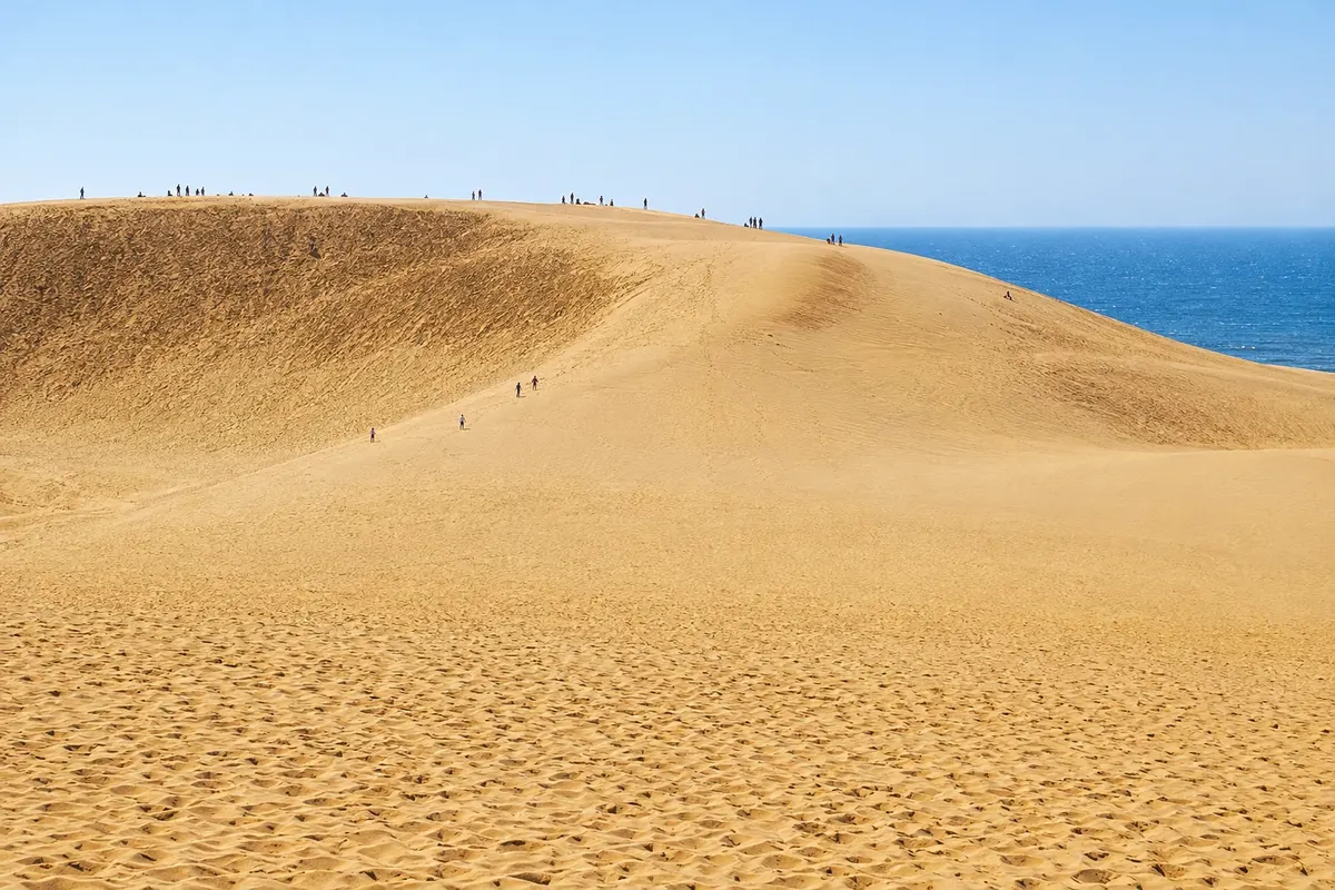
In the photo: Tottori Sand Dunes.
Illustrative images. The pictures in this guide are illustrations based on the real place, not photographs, and may differ from it.

The province
Get to know Tottori
Tottori is Japan’s least populous prefecture and lies on the Sea of Japan coast in the San'in region. Mountains cover the south, and the coast has beaches and coves that are part of the San'in Coast Geopark. The prefecture is known for nashi pear and matsuba crab, which is fished in winter.
The Tottori Sand Dunes stretch for about 16 km along the sea, with large sand hills rising above the water. Visitors walk across the dunes, ride camels, slide down on boards or paraglide. Beside them, the Sand Museum displays large sand sculptures, renewed each year with a different theme.
On Mount Mitoku, the Sanbutsu-ji temple houses Nageire-do, a wooden hall wedged into a rock recess and designated a national treasure. The trail to it climbs using roots and chains, and the temple has its own rules for the ascent. At the foot of the mountain, the Misasa hot springs contain radon in the waters and offer baths by the river.
To the west, Mount Daisen, nicknamed the Hōki Fuji, has trails, an ancient temple and ski resorts. Kurayoshi preserves white-walled storehouses along a canal. In Sakaiminato, a street features statues of folklore creatures drawn by Shigeru Mizuki, the manga artist born in the city.
When to go
April, May, October and November are the most comfortable months for walking on the dunes; in summer the sand becomes very hot, and in winter it can snow on them. On Daisen, the beeches turn yellow in October. Matsuba crab arrives at the ports from November and is fished until March. The ascent to Nageire-do is usually closed in winter and on rainy days.
Getting there
Tottori Airport (TTJ) and Yonago Airport (YGJ) receive flights from Tokyo. By train, the Super Hakuto limited express connects Kyoto and Osaka to Tottori in about 2½ hours, and the Super Inaba links Okayama to Tottori in about 2 hours. Express buses run from Osaka and Kobe. The dunes are about 20 minutes by bus from Tottori Station.
Your questions
Frequently asked questions about Tottori
How do I get to the Tottori Sand Dunes?
By bus from Tottori Station, in about 20 minutes. On weekends, a circular bus runs past the dunes and along the Uradome coast.
How do you climb up to Nageire-do?
The trail starts at Sanbutsu-ji temple and takes about an hour to ascend. The temple checks each visitor’s footwear, does not allow solo climbers, and closes the trail in rain and winter: confirm before you go.
When is crab season in Tottori?
From November to March. The ports of Sakaiminato and Tottori receive matsuba crab, served boiled, grilled or in hotpot.
What can you do on Mount Daisen?
Hike the trails to the summit or to Daisen-ji temple, see the autumn leaves and, in winter, ski. The mountain is about 30 minutes from Yonago.
Beyond the guide


