Barreado
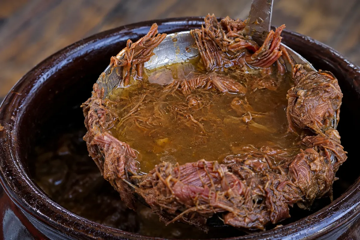
Beef cooked for many hours in a clay pot sealed with a dough made from flour, served with manioc (cassava) flour and banana. A typical dish of the Paraná coast, it has a geographical indication linked to Morretes, Antonina and Paranaguá.
Antarctica
State · South
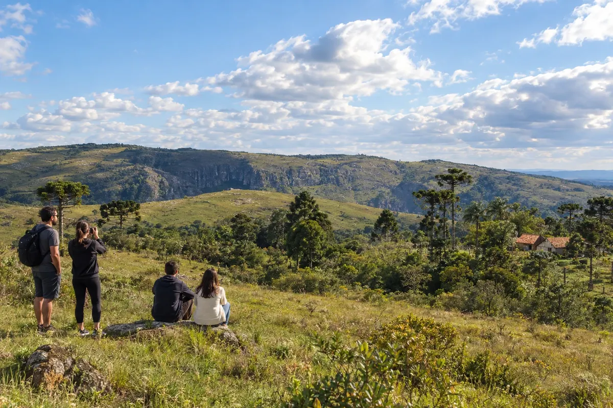
In Paraná, the trip usually has two distant poles: the Cataratas do Iguaçu in the far west, and the Serra do Mar, which separates Curitiba from the coast.
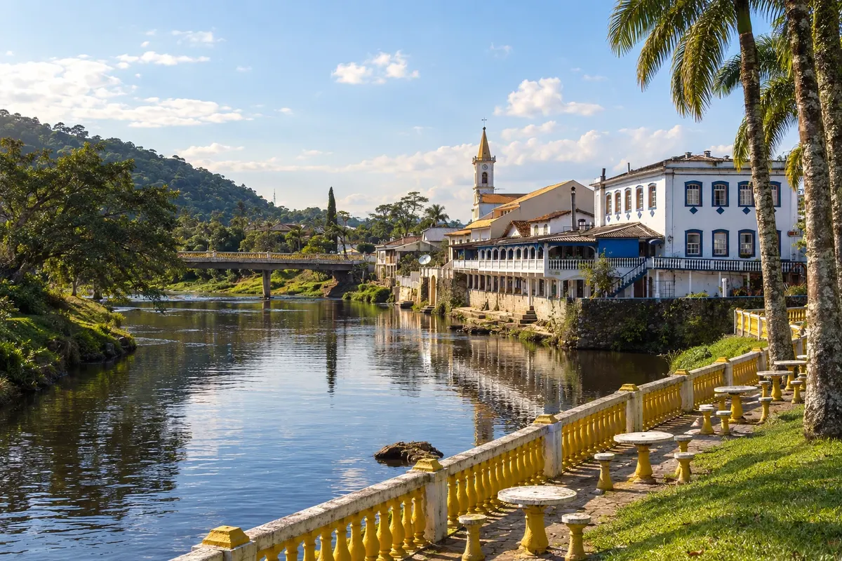
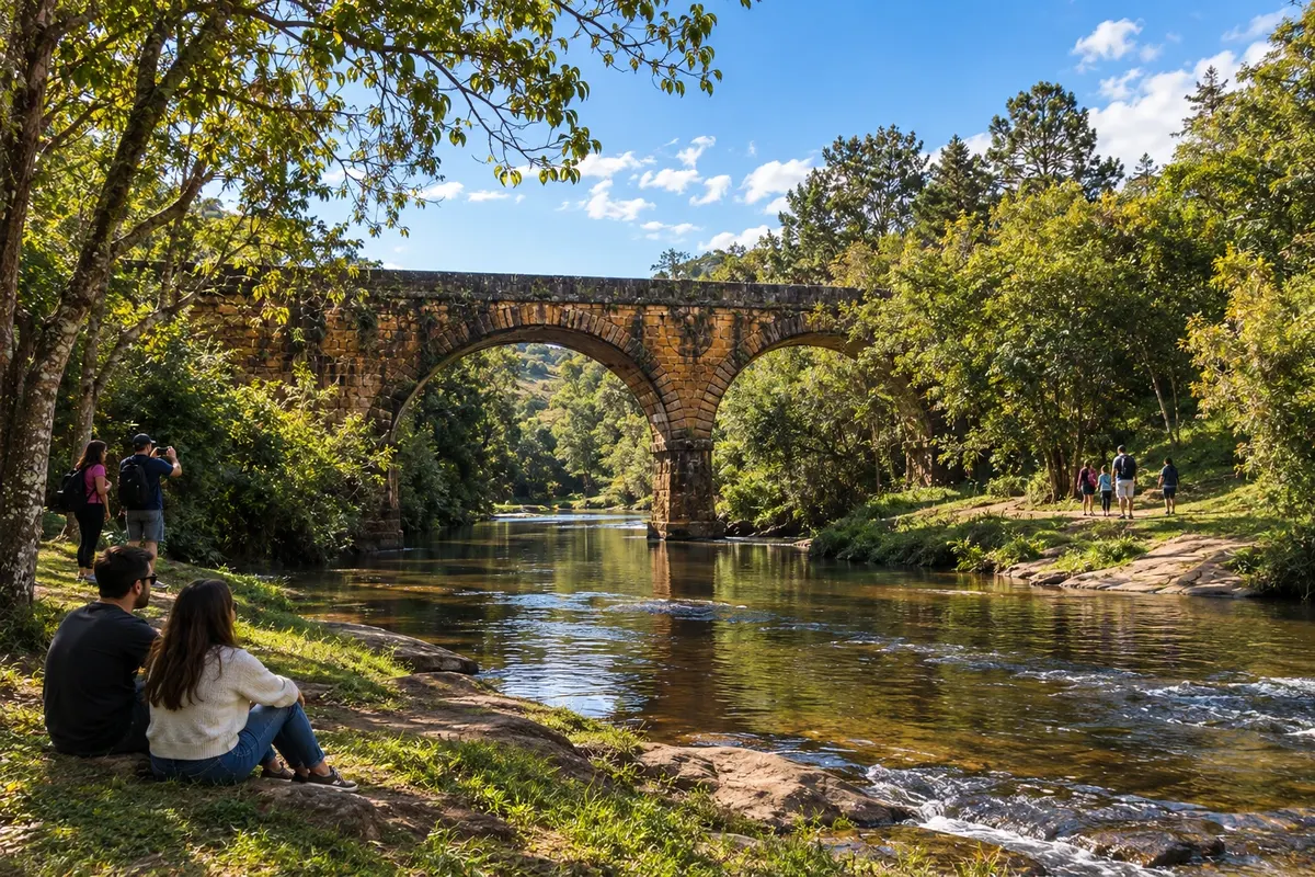
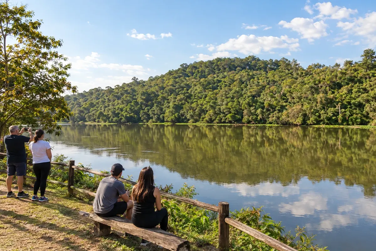
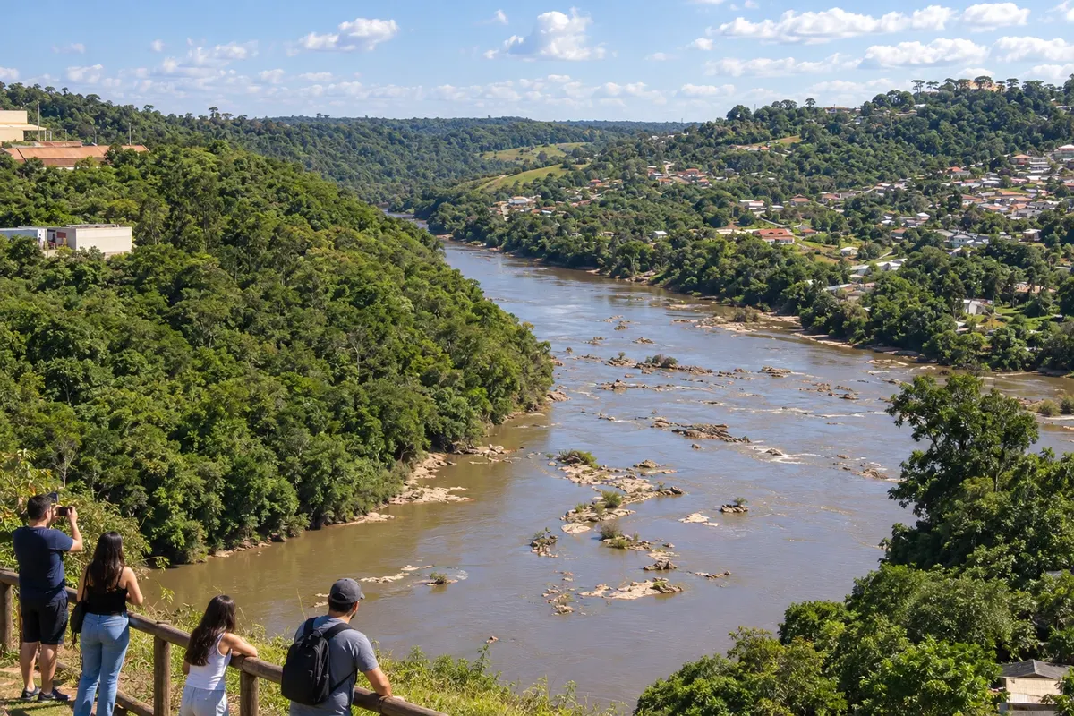
In the photo: Rio Nhundiaquara and historic center, Morretes (PR)
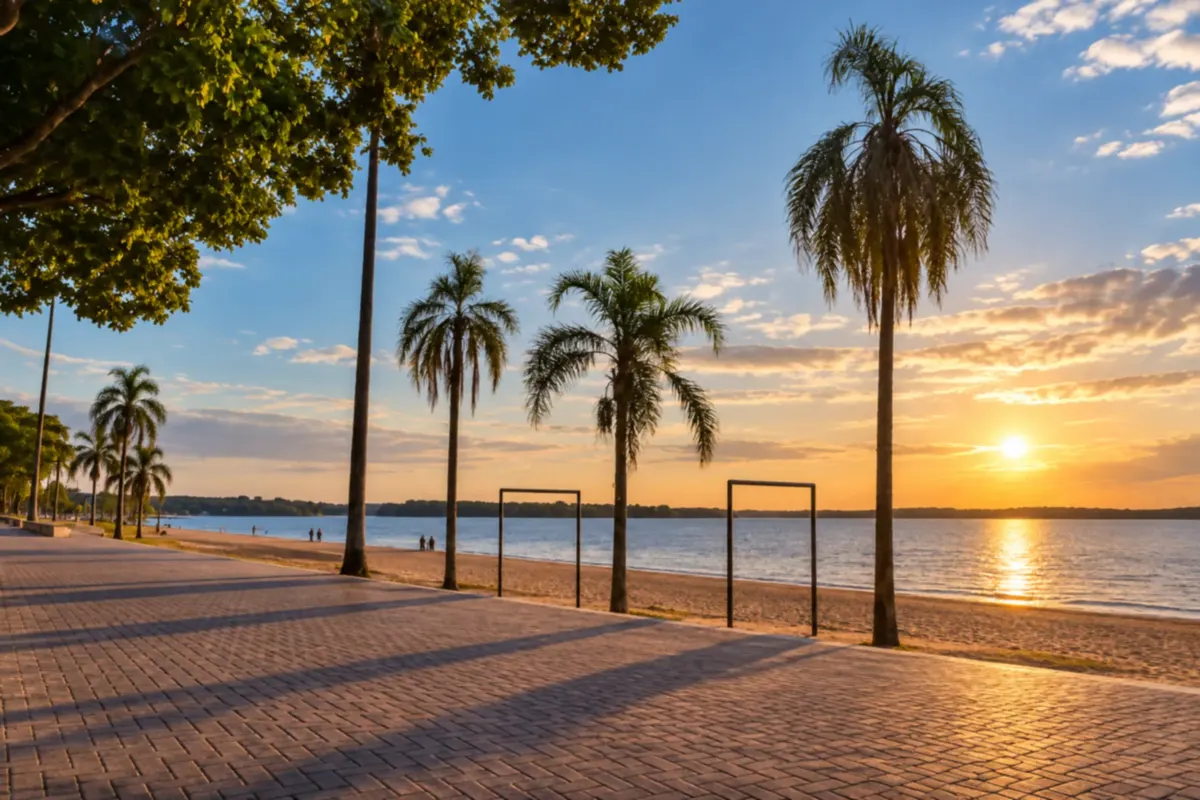
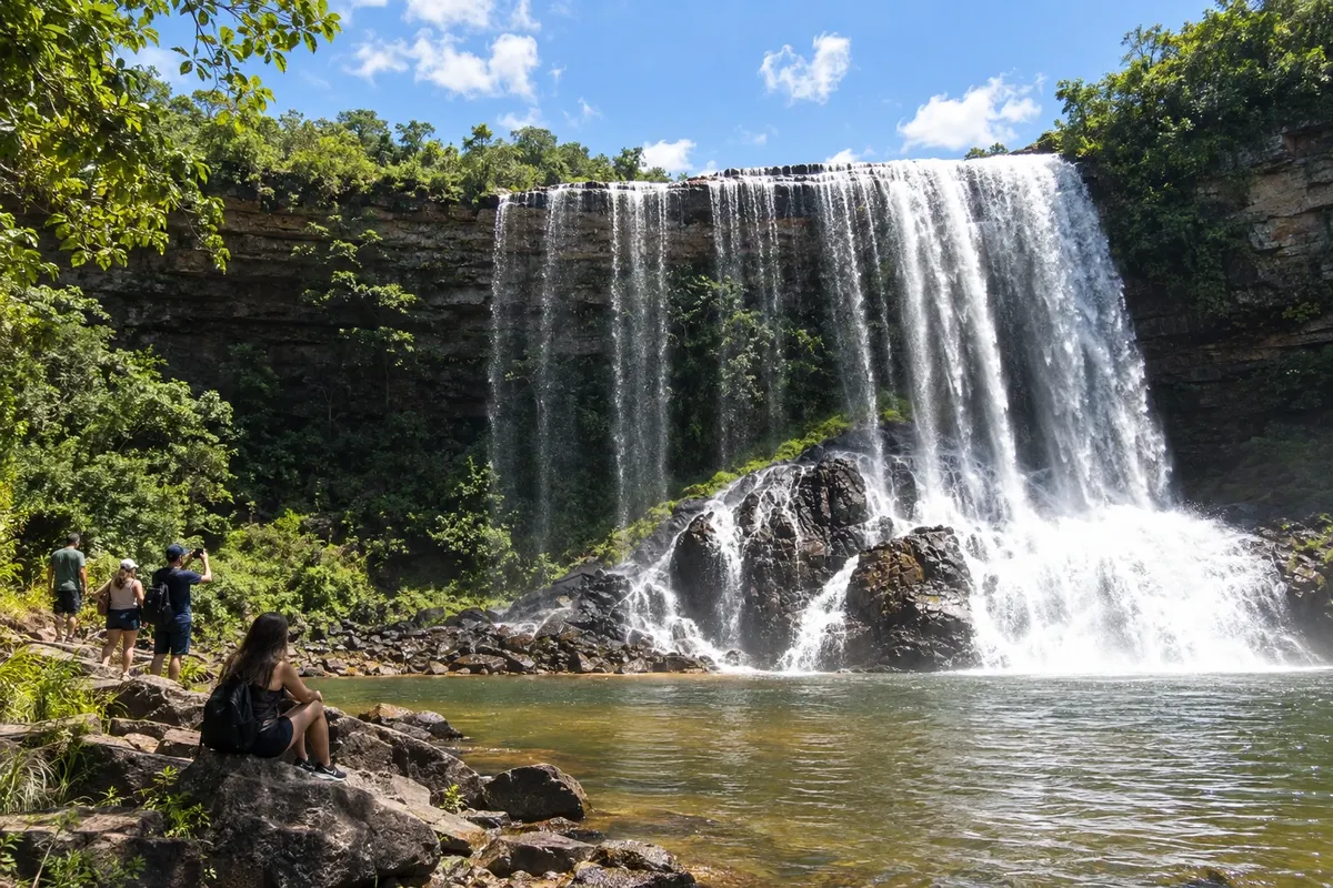
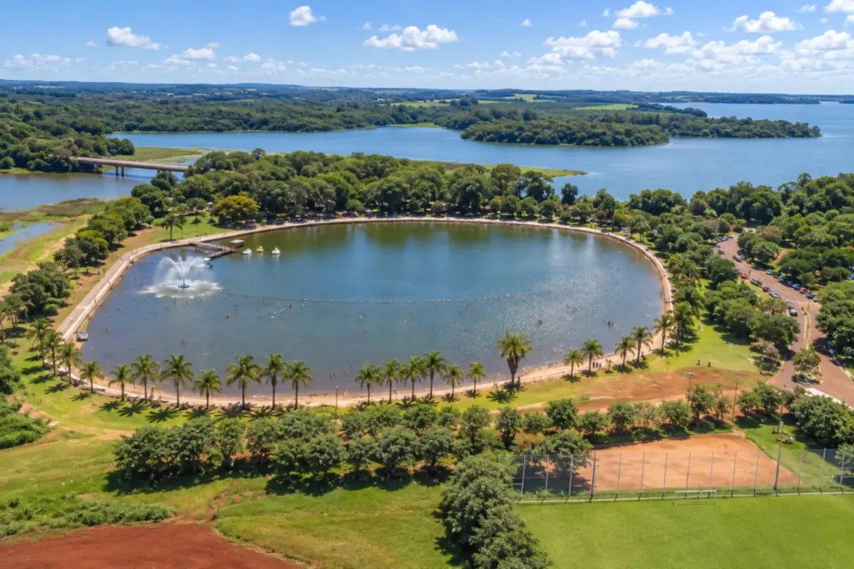
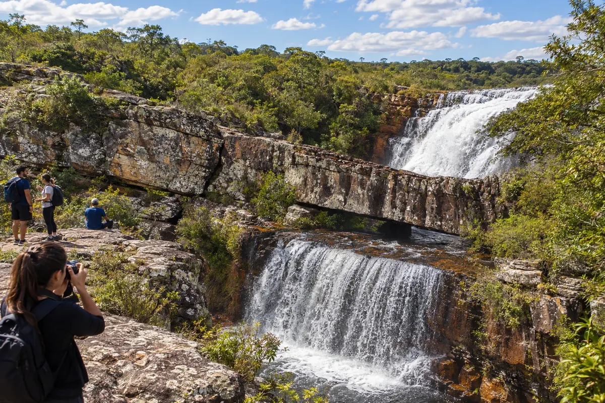
Illustrative images. The pictures in this guide are illustrations based on the real place, not photographs, and may differ from it.
The state
For travelers, Paraná is divided into three quite separate settings. In the east, Curitiba sits atop the plateau. Just below, the Serra do Mar drops down to bays, mangroves and old towns. In the far west, more than 600 kilometers from the capital, are Foz do Iguaçu and the surrounding region, on the border with Argentina and Paraguay.
Curitiba is a city of parks. The Jardim Botânico is usually the first stop, and the Ópera de Arame and the Museu Oscar Niemeyer round out the architecture itinerary. In the historic center, the Largo da Ordem hosts a traditional Sunday market. The Linha Turismo, a panoramic bus, links the city's main points.
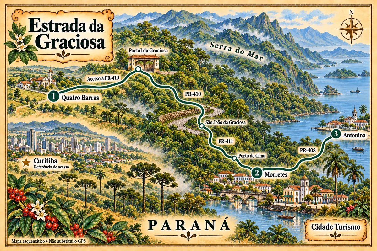
The descent to Paraná's coast is part of the experience. The railway between Curitiba and Paranaguá opened in 1885 and crosses the forest via tunnels and viaducts. The Estrada da Graciosa, completed in 1873, is another route through the mountains. Morretes, on the banks of the Rio Nhundiaquara, and Antonina, facing the bay, preserve old houses and the cuisine of barreado. Paranaguá has the port, the historic center and the festival of Nossa Senhora do Rocio, patron saint of Paraná. By boat you can reach Ilha do Mel, where cars do not circulate. Further north, Guaraqueçaba lies among mangroves and the Superagui Atlantic Forest. To the south, Matinhos and Guaratuba concentrate the beach resorts.
Flavors of Brazil
Destinations
Cities

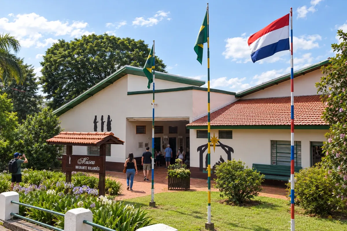
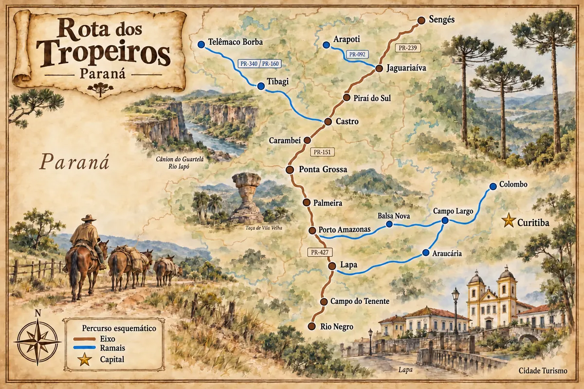
Arapoti developed in a farming area along the tropeiro route and gained another reference with the Dutch colony. The Museu Imigrante Holandês brings together collections and spaces related to rural production and cooperative life. PR-092 connects the town to the Jaguariaíva branch, outside the sequence that continues directly to Sengés.

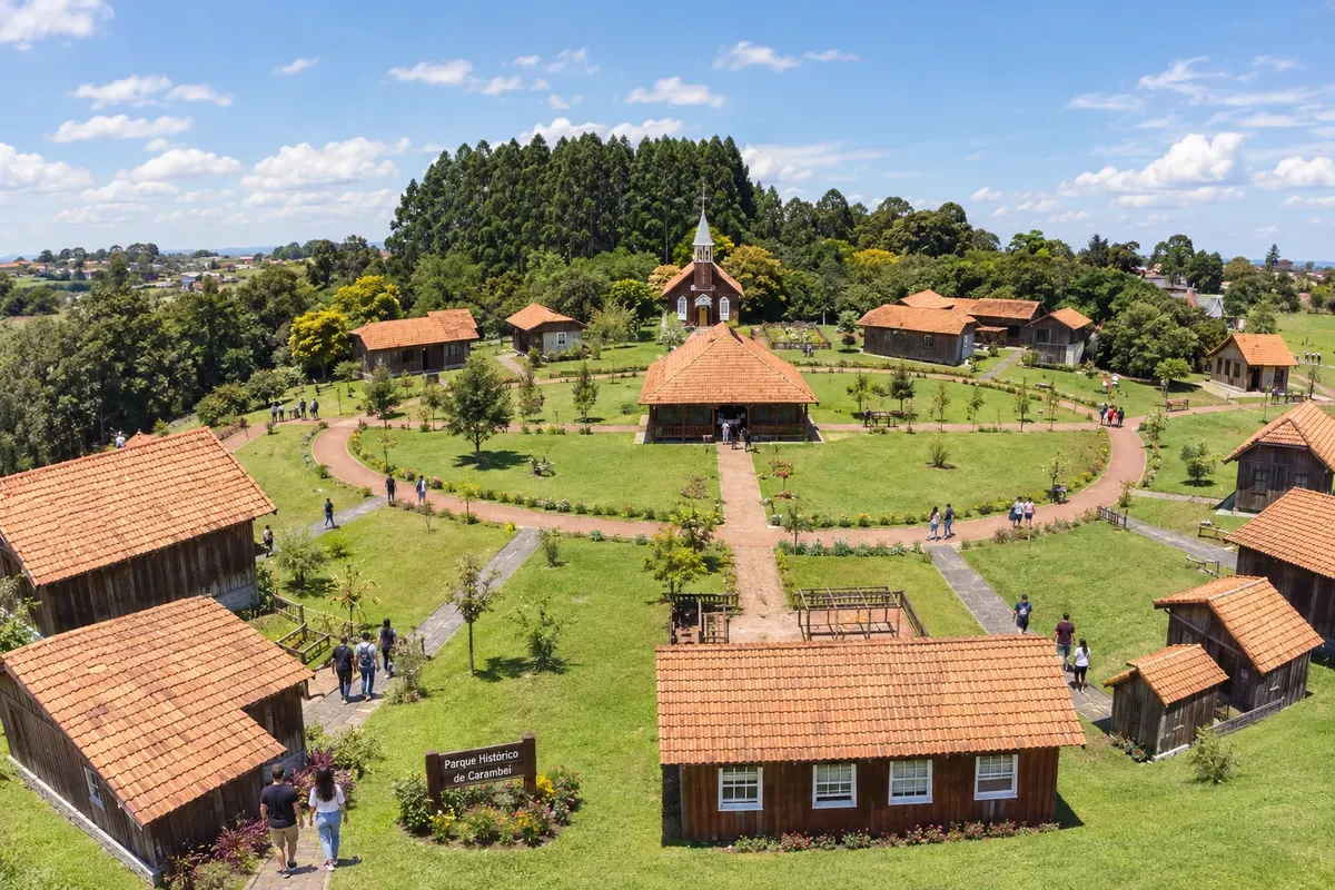
Carambeí preserves the history of Dutch immigration and cooperative milk production in the Campos Gerais. The Parque Histórico de Carambeí presents this memory in an open-air museum, with buildings and settings that connect the community to rural life. The PR-151 links the town to Ponta Grossa and Castro, on the central axis of the Rota dos Tropeiros.

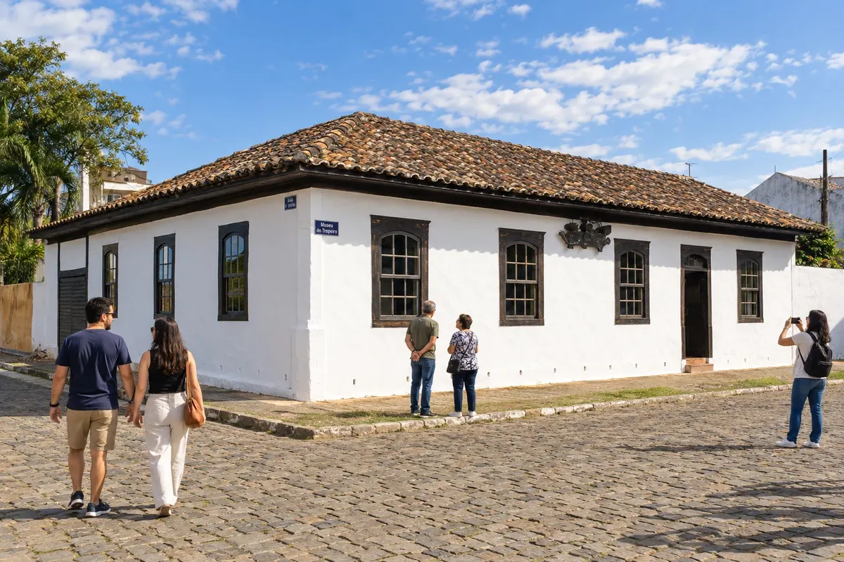
Castro developed as a stopping point along the Rio Iapó on the troop routes. The Museu do Tropeiro preserves objects and references from that period, while the Colônia Castrolanda adds the memory of Dutch immigration, with a mill and a historical museum. The city connects the PR-151 axis to the PR-340 branch toward Tibagi.

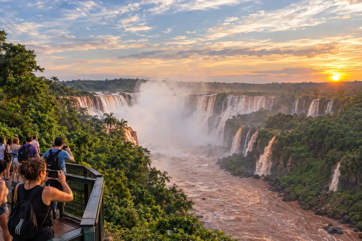
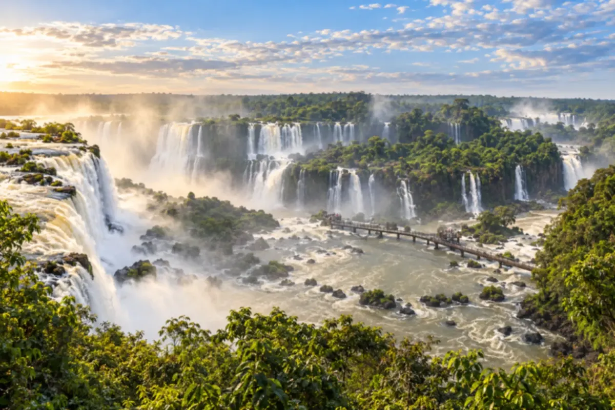
Foz do Iguaçu brings together grand river landscapes on the border between Brazil, Argentina and Paraguay. You can see the falls and explore the national park's forest on the Brazilian side.

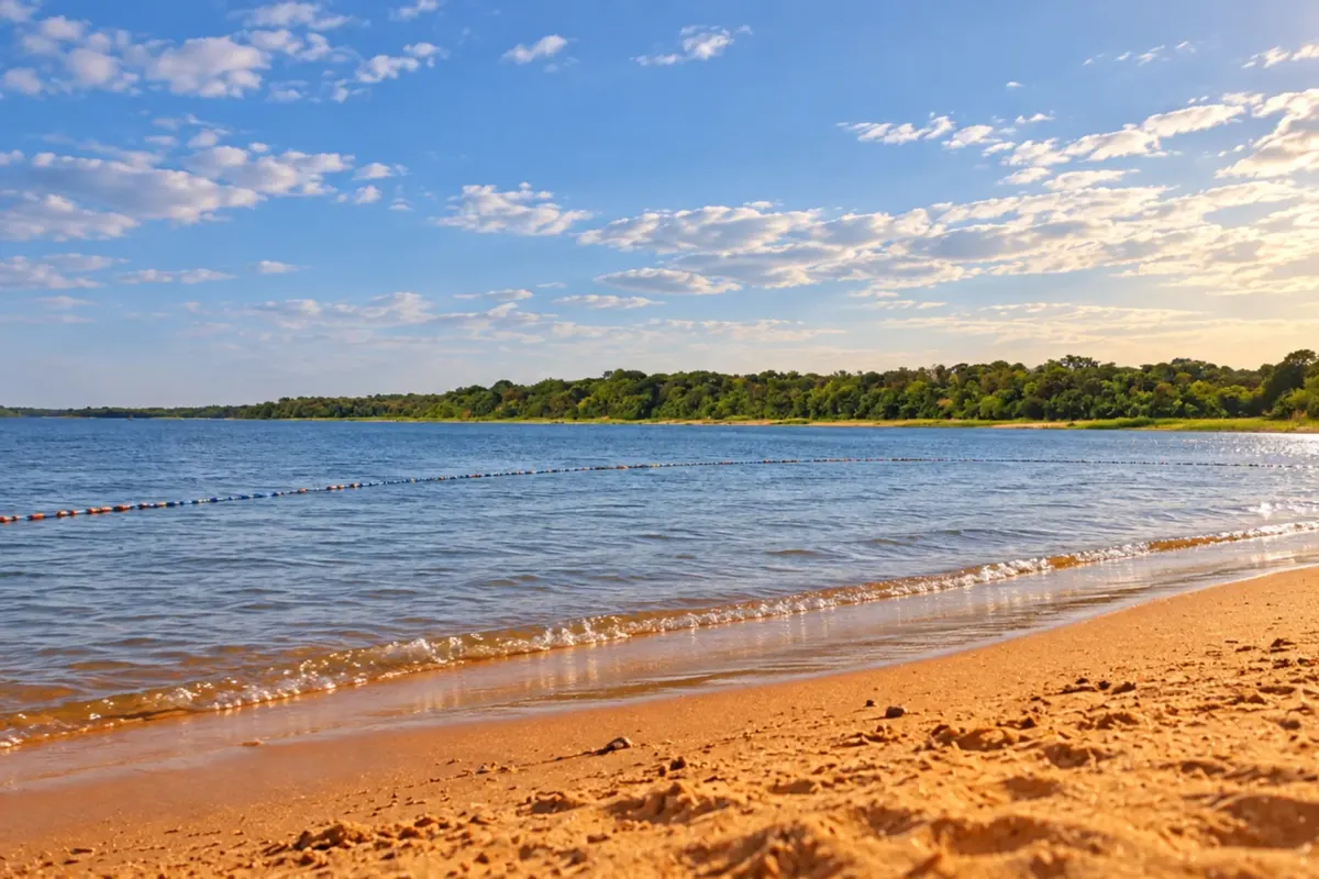
Itaipulândia is on the shores of the Itaipu reservoir, in western Paraná. You can visit Balneário Jacutinga and enjoy outings by the water, among lake beaches and wooded areas.

Jaguariaíva preserves the drovers' crossing of its river and the industrial heritage associated with the name Matarazzo. The Parque Ambiental Dr. Ruy Cunha links the urban stroll to that history, while the Parque Estadual do Cerrado protects another plateau landscape. The city connects PR-151 to the accesses to Sengés and to the PR-092 branch toward Arapoti.

Palmeira brings together references to the drovers' routes and the immigrant colonies of the Paraná plateau. The historical experience of Colônia Cecília and the presence of Witmarsum are part of the local identity. On the boundary with Balsa Nova, the Ponte do Rio dos Papagaios preserves two masonry stone arches from the old Estrada do Mato Grosso.

Piraí do Sul is located on the PR-151 corridor, between Castro and Jaguariaíva. The devotion to Nossa Senhora das Brotas is linked to the passage of the tropeiros and has its own space in the municipality's sanctuary. The urban core and the Pirazinho valley help place the town on the religious and historical route of the Campos Gerais.

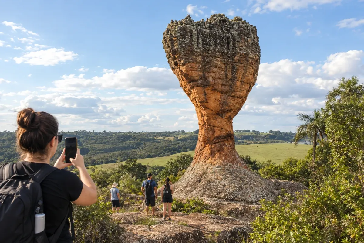
Ponta Grossa is a service center for the Campos Gerais in the Second Paraná Plateau. The sandstones of Parque Estadual de Vila Velha and the fields of the Escarpa Devoniana define the municipality's landscape. The city organizes arrival via the southern block highways and continuation along the PR-151 to Carambeí, Castro and the northern stretch of the Rota dos Tropeiros.

Porto Amazonas preserves the connection with steam navigation on the Rio Iguaçu. the former port function and the railway corridor are part of the town's development, in the access between Lapa and the Campos Gerais. On the Rota dos Tropeiros, the PR-427 reaches the junction with the BR-277, which connects the section toward Palmeira.

Santa Terezinha de Itaipu combines rural areas and leisure spaces on the shores of the Itaipu reservoir. You can stroll along the waterfront at Terminal Alvorada and take in the lake scenery.

Sengés occupies the valleys on the edge of the Campos Gerais, near the São Paulo border. The Jaguaricatu landscape and the Cachoeira do Sobradinho give identity to nature outings, while the railway corridor marked timber exploitation and the town's development. The PR-151 and PR-239 connect the town to the axis coming from Jaguariaíva.

São Miguel do Iguaçu combines rural scenery and leisure areas linked to the Itaipu reservoir. You can visit Balneário Ipiranga and stroll among wooded shores and inland waters.

Telêmaco Borba is a paper and pulp hub in the valley of the Rio Tibagi. The development linked to industry and Fazenda Monte Alegre sets the city apart from the old tropeiros centers of the plateau. On the Rota dos Tropeiros, it takes part in the branch coming from Tibagi via the PR-340 and PR-160 connections, serving as an urban support for regional movements.

Tibagi occupies the bank of the river that gives the city its name and preserves references to mining and the tropeiros' routes. The Parque Estadual do Guartelá protects part of the canyon of the Rio Iapó, among fields and sandstone cliffs. The PR-340 connects the municipality to the branch coming from Castro and toward Telêmaco Borba.
Routes
Curitiba has a cold winter, with frosts between June and August, and a mild summer with heavy showers. On the coast, summer is hot and humid and concentrates the beach season from December to February. The Serra do Mar receives a lot of rain and fog can obscure the views from the train and the Graciosa. In Foz do Iguaçu, summers are hot and winters have mild days and cool nights; the July holidays are among the busiest periods in the park. The Rocio festival in Paranaguá takes place in November.
The Afonso Pena International Airport, in São José dos Pinhais, serves Curitiba. In the west, the Foz do Iguaçu International Airport is on the road between the city center and the Cataratas. BR-277 crosses the state from Paranaguá to Foz do Iguaçu, passing through Curitiba. BR-116 connects Curitiba to São Paulo, and BR-376 continues toward Santa Catarina. To descend to the coast there is BR-277, the Estrada da Graciosa and the tourist train from Curitiba to Morretes. Ilha do Mel is only reachable by boat, with departures from Pontal do Sul or Paranaguá. Between Matinhos and Guaratuba, the bridge over the bay, opened in 2026, replaced the ferry as the main crossing.
Your questions
Yes. They are two different national parks, one on each bank of the Iguaçu River. The Brazilian side shows the panoramic view of the falls; the Argentine side has walkways closer to the water. Allow one day for each side. To cross the border, bring a passport or an official identity document accepted by Mercosur.
The train covers about 70 kilometers between Curitiba and Morretes, slowly, through tunnels, bridges and viewpoints over the forest. It’s the most relaxed way to see the mountains. By car, the Estrada da Graciosa has old paving, curves and stopping points. It can be closed after heavy rains, so check conditions before you go.
It’s beef cooked for many hours in a closed pot with a dough made from manioc (cassava) flour so the steam is retained. It’s served with farinha and banana. The dish comes from the coast and has a geographical indication linked to Morretes, Antonina and Paranaguá, where several restaurants serve the recipe.
No. On the island you get around only on foot or by bicycle. Leave your car in the parking lot at the departure point and pack light, because the path to the pousada may be over sand or trail. The trapiches of Nova Brasília and Encantadas are the main arrival points.
Three days allow you to see the Cataratas from the Brazilian side, cross to the Argentine side and visit the Itaipu plant and the Marco das Três Fronteiras. With more time, include the freshwater beaches on the Itaipu lake in the neighboring towns.
Summer days can be warm, but the nights are usually cool and the temperature drops quickly after a rain. Bring a jacket at any time of year. In winter, frosty mornings are common.
Mapa: @svg-maps/brazil, CC BY 4.0
Beyond the guide