4 cities

 Search
Brazil
 Antarctica
 Argentina
 Bolivia
 Chile
 Colombia
 Ecuador
 Guyana
 French Guiana
 Falkland Islands (Malvinas)
 Paraguay
 Peru
 Suriname
 Uruguay
 Venezuela
 Germany
 Austria
 Belgium
 Croatia
 Denmark
 Slovakia
 Slovenia
 Spain
 Finland
 France
 Greece
 the Netherlands
 Hungary
 Ireland
 Iceland
 Italy
 Luxembourg
 Norway
 Poland
 Portugal
 the United Kingdom
 the Czech Republic
 Sweden
 Switzerland
 Turkey
 Bermuda
 Canada
 the United States
 Greenland
 Mexico
 Saint Pierre and Miquelon
 the Dominican Republic
 JapanTurkey
 South Africa
 Egypt
 Australia
 Fiji
 New Zealand
 Papua New Guinea
State · Northeast
A tide that rises more than six meters, tile‑covered two‑storey houses and rainwater lagoons among white dunes: Maranhão is known through its rivers, islands and sand.
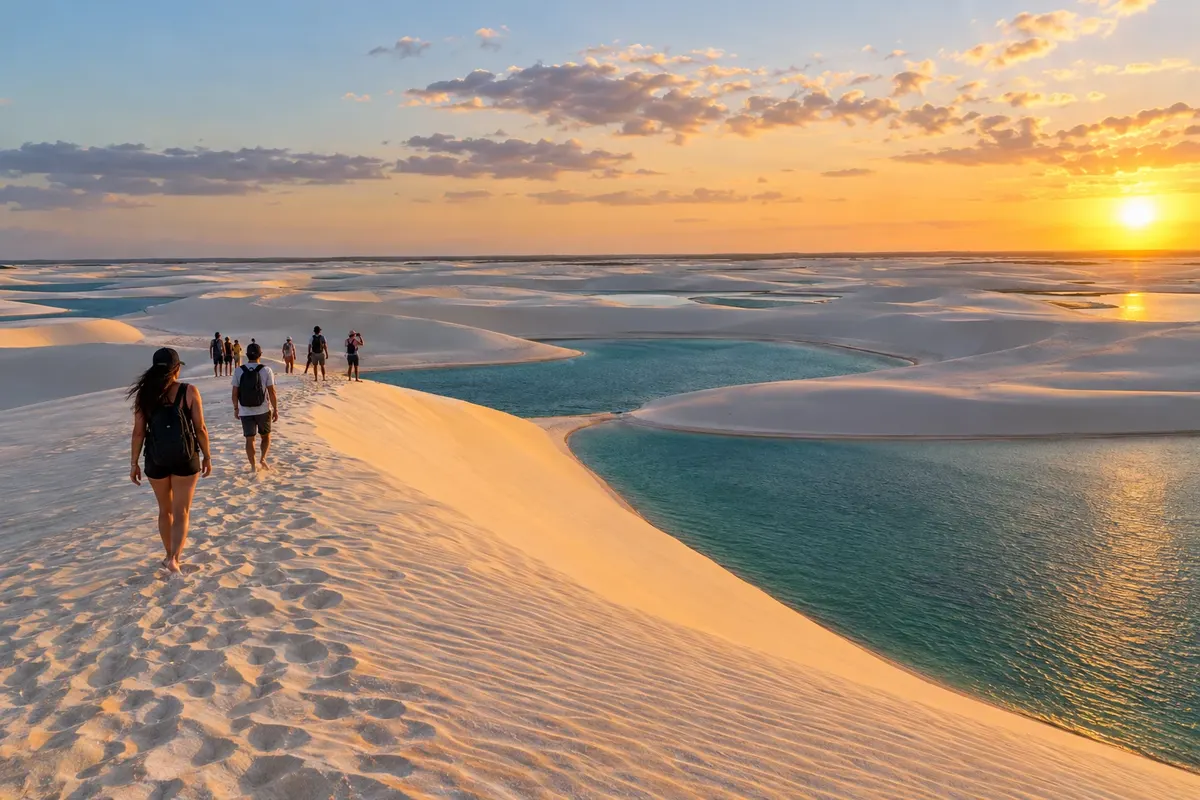
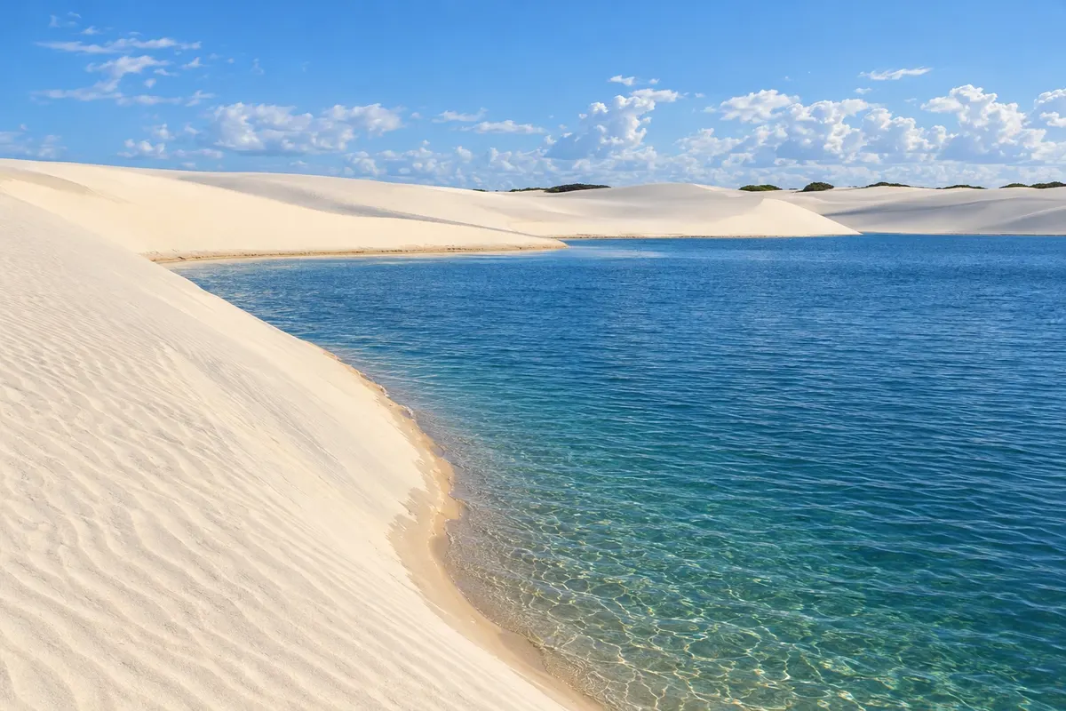
In the photo: Lagoon and dunes, Lençóis Maranhenses National Park (MA)
Illustrative images. The pictures in this guide are illustrations based on the real place, not photographs, and may differ from it.
The state
São Luís occupies an island between bays and is the only Brazilian state capital founded by the French, in 1612. The historic centre, a World Heritage Site, has hundreds of tile‑covered sobrados on the streets of Praia Grande and Desterro, with churches, fountains and the Teatro Arthur Azevedo. The tide in the bay exceeds six metres and alters the landscape throughout the day on the beaches of Ponta d'Areia, Calhau and São Marcos.
In June the city lives the bumba‑meu‑boi festival, recognized by UNESCO as a World Heritage element, with groups of different accents and styles—matraca, zabumba and orchestras—that take turns in the arraiais. Tambor de crioula and reggae are part of the island's soundtrack. On the table you’ll find arroz de cuxá, shrimp pie (torta de camarão), peixada, juçara and Guaraná Jesus, a pink soda that is easy to find only in the state.
To the east of the capital are the Lençóis Maranhenses. The national park, listed as a natural World Heritage Site, has white dunes that trap rainwater in temporary lagoons. Barreirinhas, on the banks of the Rio Preguiças, is the most developed base, with boats downstream to Vassouras and Atins and 4x4 departures to Lagoa Azul and Lagoa Bonita. Santo Amaro do Maranhão provides access to the park's west side, with fewer visitors. Paulino Neves sits next to the Pequenos Lençóis, and Primeira Cruz has rivers, mangroves and the Lagoa do Cassó.
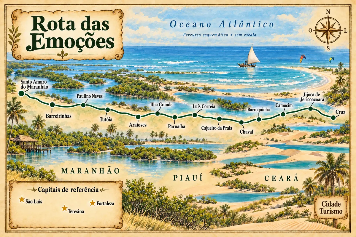
At the far east, the Delta das Américas brings together Tutóia and Araioses, the Maranhão portion of the Delta do Parnaíba. From Tutóia you can take trips through igarapés and dunes; in Araioses, Ilha das Canárias receives boats to watch the guarás return to their nests at dusk. This is the stretch where the Rota das Emoções leaves Maranhão heading toward Piauí.
Destinations
Cities
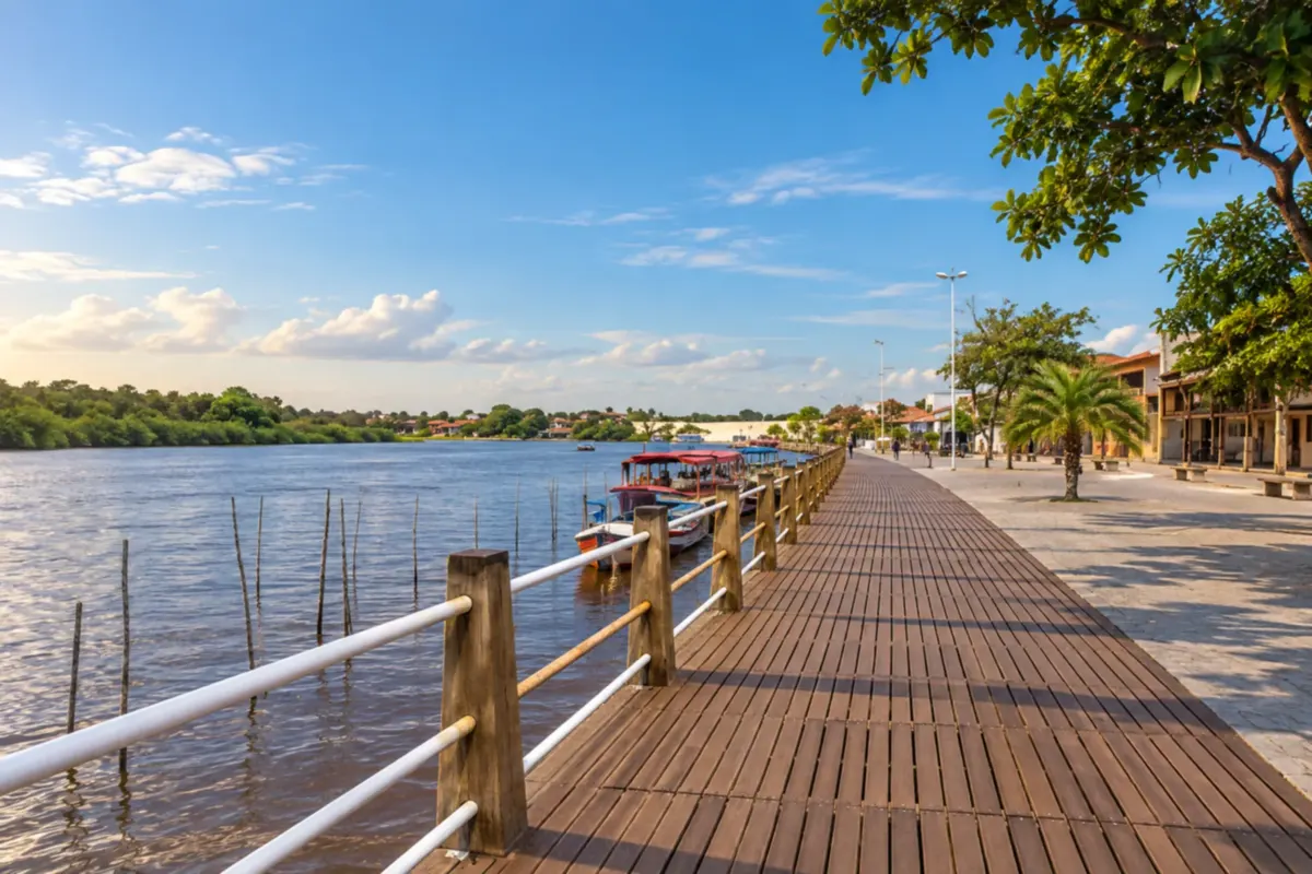
Barreirinhas grew up on the banks of the Rio Preguiças and is one of the gateways to the Lençóis Maranhenses. Boat trips reveal riverside villages, while dunes and lagoons complete the journey.
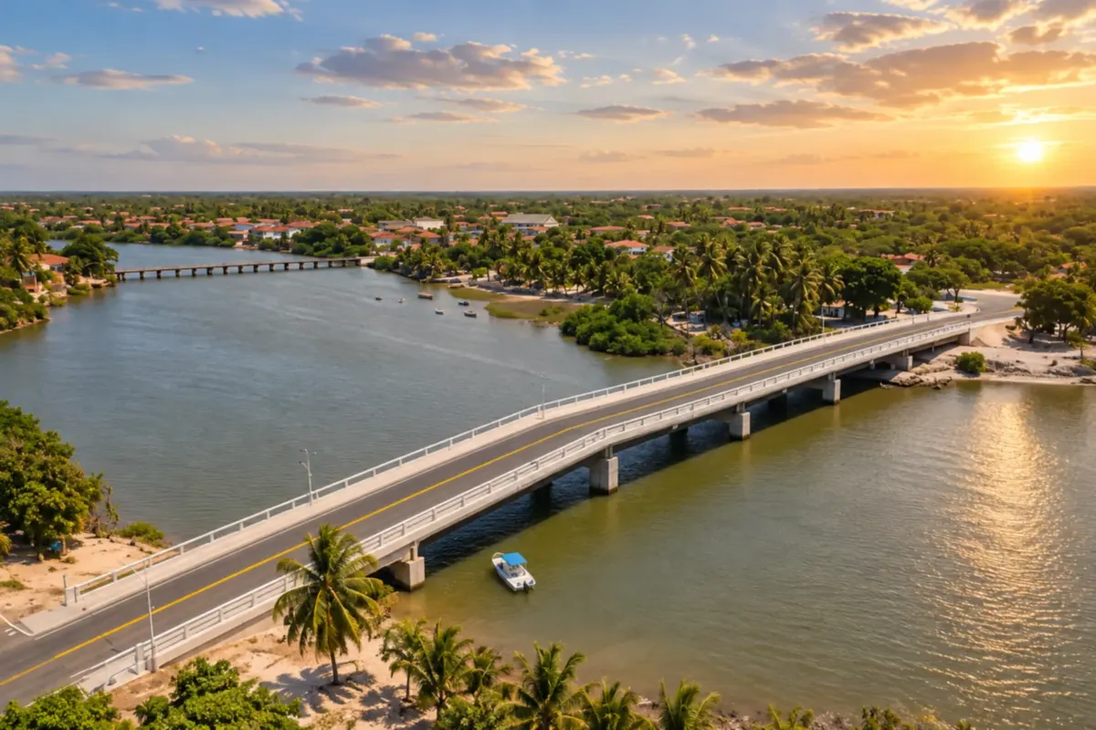
Paulino Neves is crossed by the Rio Novo and is part of the landscape of the Pequenos Lençóis Maranhenses. Dunes, lagoons and beaches make up the tours, between riverside life and the paths of the Rota das Emoções.
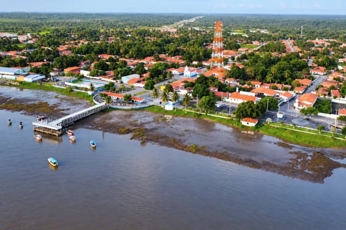
Primeira Cruz brings together rivers, mangroves and lagoons on the Maranhão coast. Riverside life along the Rio Periá and the waters of Lagoa do Cassó reveal the different settings of the municipality.
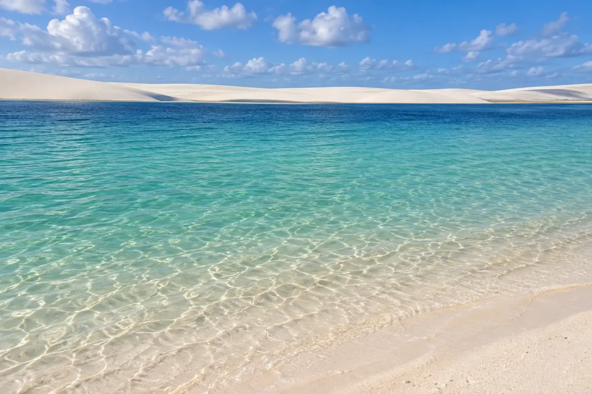
Santo Amaro do Maranhão sits next to the dunes and lagoons of the Lençóis Maranhenses. Walks across the sand, swims in the lagoons and visits to local communities bring you close to the landscape.
Routes
The north of Maranhão experiences heavy rains from January to June. It is that water that fills the lagoons of the Lençóis, at their best between June and September; from November many dry up or become shallow. The second half of the year is dry, hot and windy along the coast. In São Luís, June is the São João month, with bumba‑meu‑boi in the arraiais of several neighbourhoods and the city full.
Marechal Cunha Machado International Airport is in São Luís. Barreirinhas is about 250 kilometres away via BR‑135 and MA‑402, the Translitorânea, with daily vans and buses. From Barreirinhas, roads lead to Paulino Neves and Tutóia, and from there you can reach Parnaíba in Piauí. To enter the dune and lagoon areas, transport is done in accredited 4x4 vehicles or by boats along the Preguiças. From the capital, ferry‑boats cross the Baía de São Marcos to Cujupe, the route to Alcântara.
Your questions
Generally from June to September, after the rainy season. In years with weak rains the lagoons are smaller and some dry out earlier. From October to December there is still water in several of them, but the landscape changes.
Barreirinhas has more hotels, restaurants and tour options, including along the Rio Preguiças. Santo Amaro is closer to the dunes, with lagoons a few minutes from the village and fewer people, but it has less infrastructure. For those with four days or more, splitting the stay between the two is a good solution.
It is not recommended. There is no shade or reference points, and it is easy to get lost. Vehicle circulation inside the park is restricted to accredited operators, and tours depart with an accredited driver. Bring water, a hat and light footwear, or walk barefoot on the sand.
Two days in São Luís for the historic centre and the waterfront, and three to four days in the Lençóis. Those who want to go to Atins or do the dune crossing need more time.
Groups rehearse starting on Sábado de Aleluia, and some perform in cultural centres in the historic centre throughout the year. The peak, however, is the arraiais in June, with dozens of groups taking turns all night.
Via the Rota das Emoções. From Barreirinhas the route goes through Paulino Neves and Tutóia, crosses the Delta do Parnaíba and continues via Parnaíba and the Piauí coast to Camocim and Jericoacoara. There are sandy stretches that require 4x4 vehicles, and agencies run the journey in stages.
Mapa: @svg-maps/brazil, CC BY 4.0
Beyond the guide