

7 cities

 Search
Brazil
 Antarctica
 Argentina
 Bolivia
 Chile
 Colombia
 Ecuador
 Guyana
 French Guiana
 Falkland Islands (Malvinas)
 Paraguay
 Peru
 Suriname
 Uruguay
 Venezuela
 Germany
 Austria
 Belgium
 Croatia
 Denmark
 Slovakia
 Slovenia
 Spain
 Finland
 France
 Greece
 the Netherlands
 Hungary
 Ireland
 Iceland
 Italy
 Luxembourg
 Norway
 Poland
 Portugal
 the United Kingdom
 the Czech Republic
 Sweden
 Switzerland
 Turkey
 Bermuda
 Canada
 the United States
 Greenland
 Mexico
 Saint Pierre and Miquelon
 the Dominican Republic
 JapanTurkey
 South Africa
 Egypt
 Australia
 Fiji
 New Zealand
 Papua New Guinea
State · Northeast
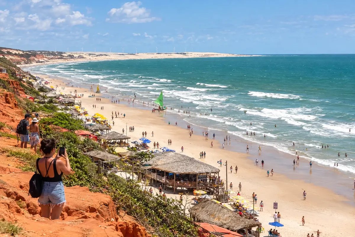
Constant wind, dunes that reach the sea and red cliffs define the Ceará coastline, which opens out from Fortaleza to the east and to the west.
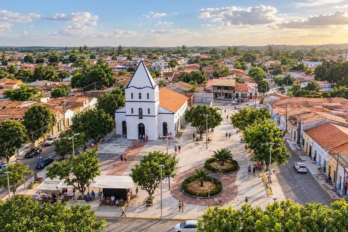
In the photo: Falésias de Morro Branco, Beberibe (CE)
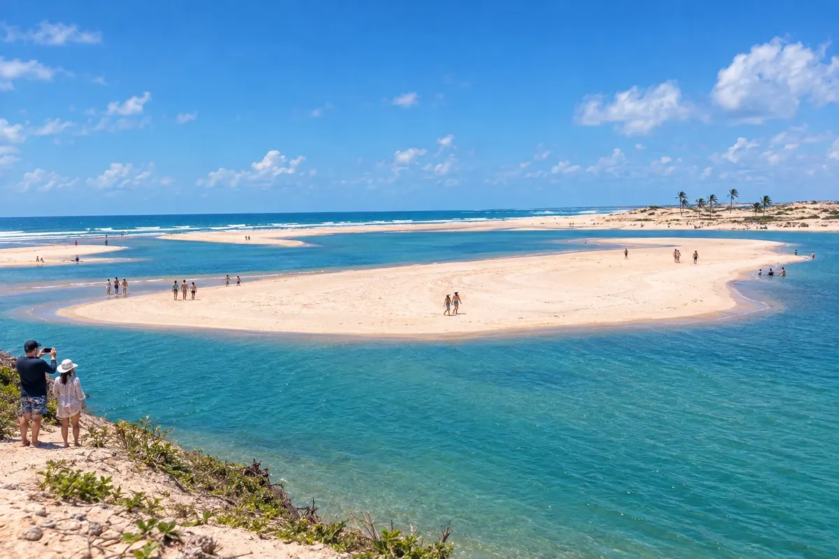
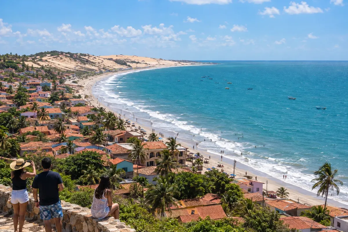
Illustrative images. The pictures in this guide are illustrations based on the real place, not photographs, and may differ from it.
The state
Fortaleza is the gateway. Avenida Beira-Mar brings together a seafront promenade, a craft fair and the Mercado dos Peixes do Mucuripe; Praia de Iracema concentrates bars and the Centro Dragão do Mar de Arte e Cultura. Downtown are the Theatro José de Alencar and the Mercado Central, good for lace and cashew nuts. On Thursdays, the stalls at Praia do Futuro keep the crab-eating tradition.
Ceará cuisine goes beyond seafood. Baião de dois, paçoca de carne de sol pounded with farinha, panelada and tapioca appear on any menu, and cashew becomes sweets, juice and cajuína. Aquiraz, a neighbor of the capital and the first seat of the state government, has Porto das Dunas, Prainha and Iguape less than an hour from the center.
Heading toward Piauí is the destination Jericoacoara and the West Coast of Ceará. The village of Jericoacoara sits inside a national park, with no paved streets, and the final stretch is done in 4x4 vehicles from Jijoca de Jericoacoara, a municipality that also has the Lagoa do Paraíso. Cruz hosts the regional airport. Camocim opens onto the Coreaú River estuary, and Barroquinha and Chaval lead to the end of the Ceará coast, already near the Delta do Parnaíba. That route is the start of the Rota das Emoções.
Closer to Fortaleza, Itarema and Acaraú have flat beaches, mangroves and fishing communities. Ilha do Guajiru, in Itarema, is a well-known kitesurfing spot, and in Acaraú the low tide exposes a wide sand strip at Arpoeiras.
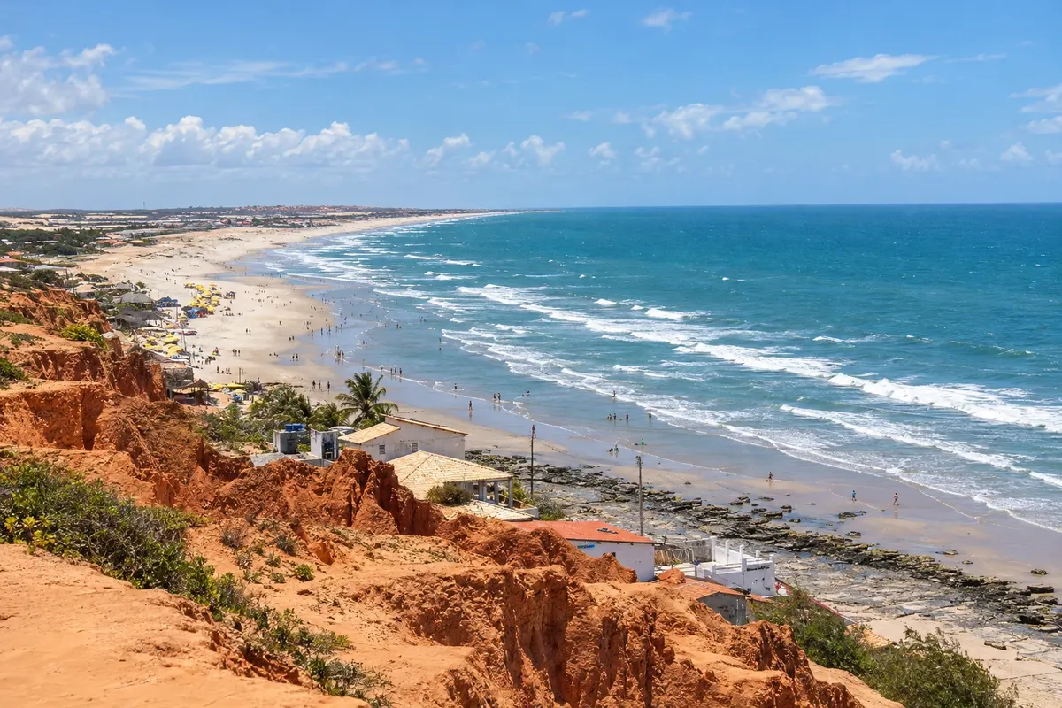
On the other side, the Litoral Leste do Ceará has Aracati. The town preserves townhouses from the charqueada era, in a protected ensemble. In the district of Canoa Quebrada the red cliffs drop down to the beach, jangadas go out to fish and buggies cross the dunes to Majorlândia and Quixaba.
Destinations
Cities
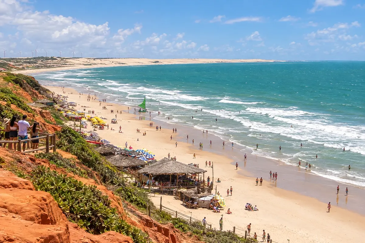
Aracati combines the town's historic houses with cliff-lined beaches and jangadas. Canoa Quebrada is the municipality's main postcard, but Majorlândia and Quixaba offer other coastal routes. Set aside time to also visit the historic center.
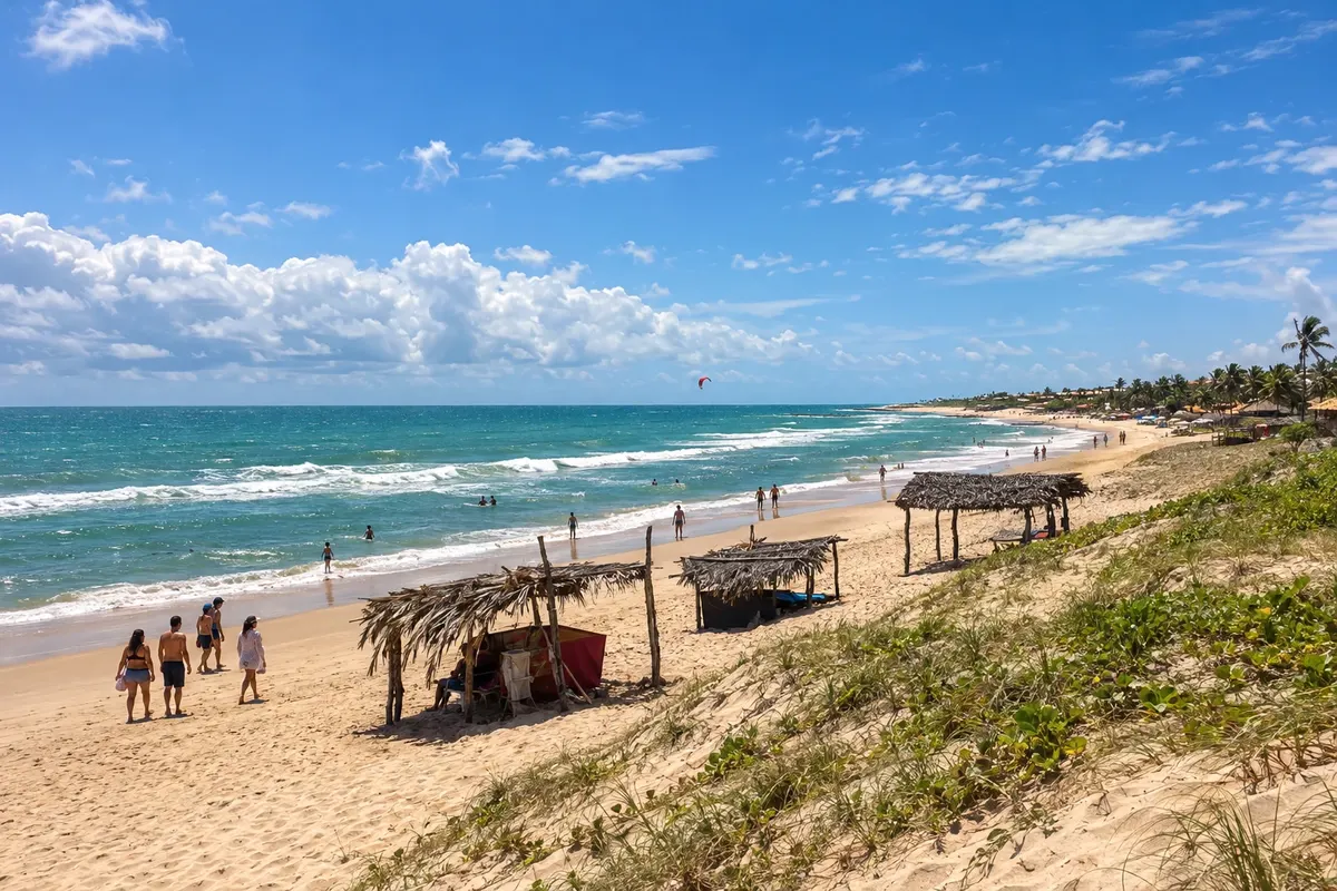
Beberibe brings together the Monumento Natural das Falésias alongside Morro Branco and Praia das Fontes. Uruaú and Parajuru add other coastal nuclei. The paths between sediment cliffs are part of a protected area and visitors must follow the visitation rules.
Cascavel brings together Caponga and Águas Belas, where the Rio Mal Cozinhado meets the coastline. Barra Nova is related to the mouth of the Rio Choró, and Balbino retains a fishing settlement. The route leaves the CE-040 corridor to reach these communities.
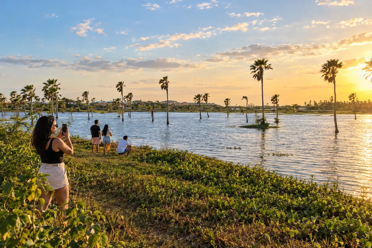
Eusébio is located in the Metropolitan Region of Fortaleza and has Lagoa da Precabura as an environmental reference. The Igreja Matriz de São José is on Avenida Eusébio de Queiroz. In the initial stage of the circuit, the landscape remains inland, without an ocean beach.
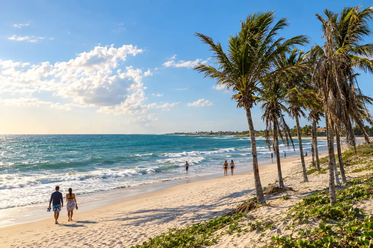
Fortim lies beside the Jaguaribe estuary and has Pontal do Maceió as a reference for beach and fishing. The meeting of river, mangrove and sea distinguishes this stage. Boat trips must be arranged with operators and depend on local conditions.
Icapuí has cliffs at Ponta Grossa and Redonda, mangroves in Requenguela and coconut groves along the coast of Tremembé. Fishing is part of life in these communities. The final stage spreads visits across different beaches, with accesses beyond the CE-261.
Pindoretama is linked to rapadura production and to the sugar mills along the CE-040 strip. Its territory does not reach the sea. The rural stage contrasts with the following coastal localities and allows visitors to learn about sugarcane culture depending on visits to the establishments.
Routes
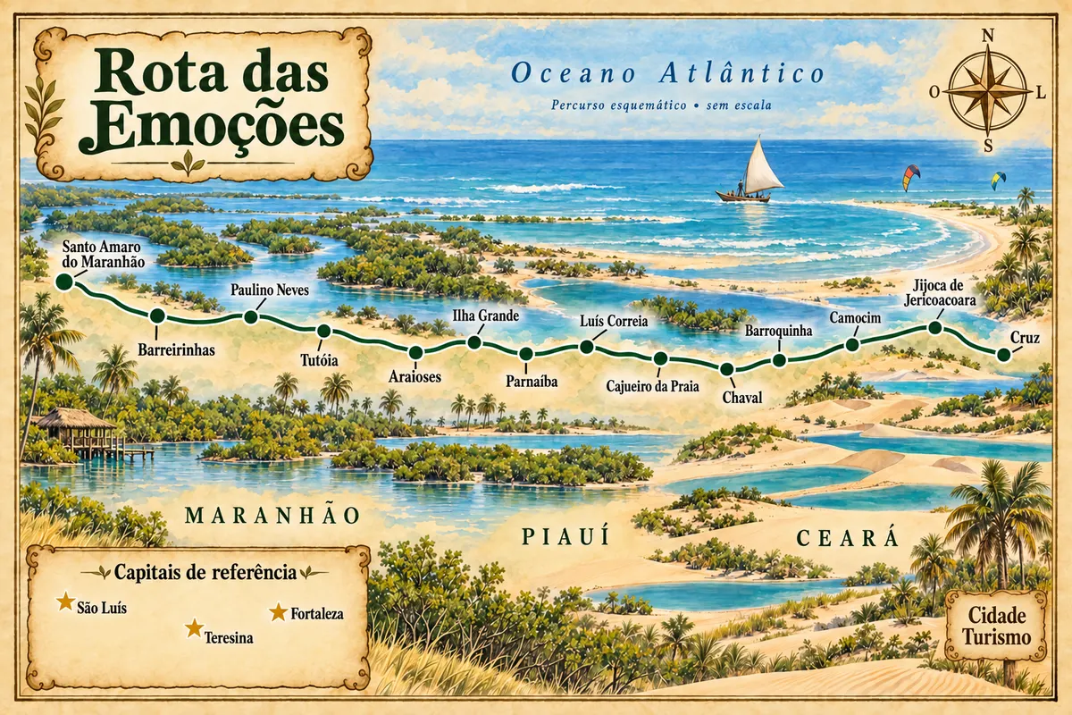
From the coast of Jericoacoara to the Parnaíba Delta and the Lençóis Maranhenses, through fourteen municipalities.
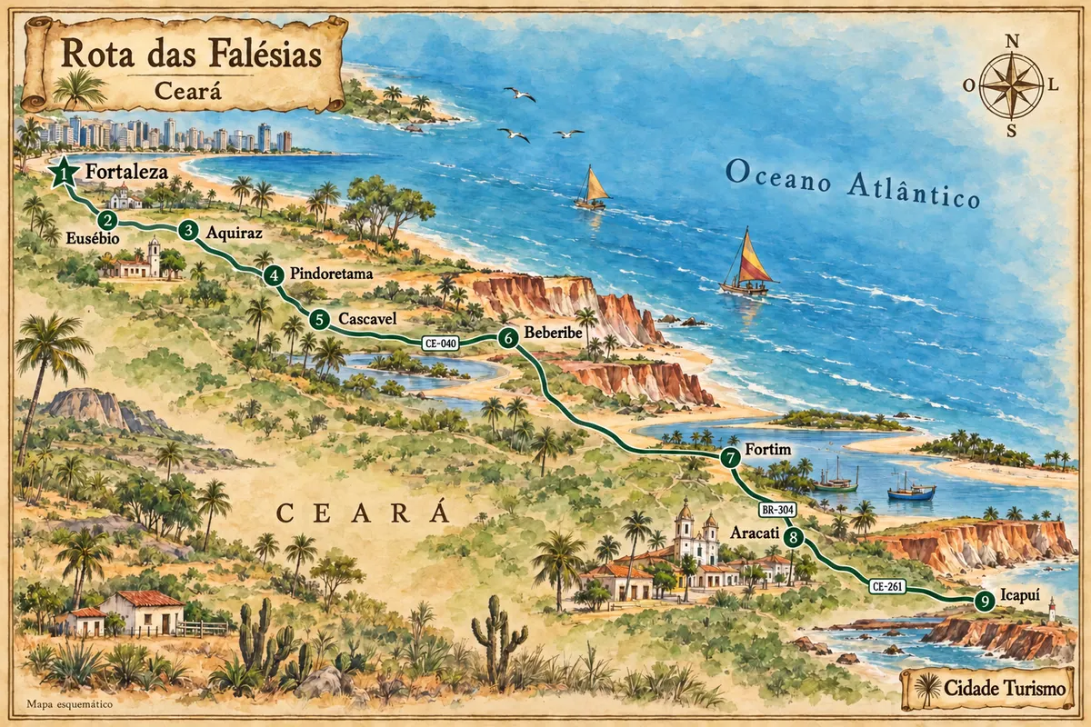
Between Fortaleza and Icapuí, the eastern coast of Ceará features cliffs, estuaries and fishing communities, with stops in the heritage sites of Aquiraz and Aracati.
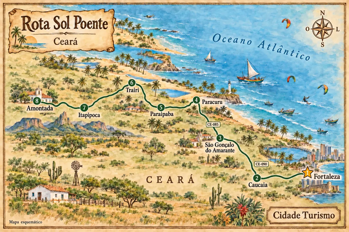
From Fortaleza to Amontada, the western coast of Ceará combines dunes, fishing villages and estuaries, with access to Cumbuco, Taíba, Lagoinha and Flecheiras.
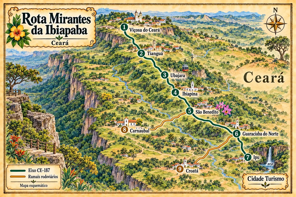
Nine municipalities of the Ceará highlands linked by the CE-187 axis and its branches, between the heritage of Viçosa, the Ubajara National Park, the religious tourism of São Benedito and the landscape of the Bica do Ipu.
Ceará has a rainy season between February and May, with heavy downpours and sand roads that become more difficult. From July to December the wind is strong and steady, the season for sailing sports, with clear skies almost every day. The lagoons around Jijoca tend to be fuller shortly after the rains, between June and August. High season runs from December to February and returns in July, the month of Fortal, Fortaleza’s off-season carnival.
Aeroporto Internacional Pinto Martins is in Fortaleza. For Jericoacoara, Aeroporto Regional de Jericoacoara is in Cruz and receives flights from some state capitals; from there you drive to Jijoca and take a 4x4 to the village. By road, Fortaleza to Jijoca is about 300 kilometers via the CE-085 (Via Estruturante) or the BR-222. To the east, the CE-040 and BR-304 lead to Aracati and Canoa Quebrada. The BR-116 cuts across the state heading south toward the Cariri.
Your questions
Not in a regular car. The village is inside the national park, and the final sandy stretch is done in jardineiras and accredited 4x4 pickups that depart from Jijoca. Those who go in their own vehicle leave it in a parking lot in Jijoca. Many guesthouses include the transfer.
Yes. Jijoca de Jericoacoara charges a Sustainable Tourism Fee, calculated per day of stay. Payment is made before arrival and the receipt is checked at the entrance.
Three or four days cover the village, the Duna do Pôr do Sol, the Pedra Furada and buggy trips to the east, with Lagoa do Paraíso and Lagoa Azul, and to the west as far as Tatajuba. Those continuing on the Rota das Emoções leave Jeri for Camocim and the Delta.
Yes, it’s about 165 kilometers via the CE-040 and BR-304. Agencies make the trip in a day, but spending a night in Canoa allows you to see the cliffs at sunset and do the buggy tour at a relaxed pace.
Praia do Futuro, with open sea and well-equipped beach barracas, is the most used for swimming. Sections of Beira-Mar and Iracema can be unsuitable at certain times; the condition of each point is published weekly by the state's environmental agency and is worth checking beforehand.
From July to December, when the wind is strong and consistent. Cumbuco, near Fortaleza, Ilha do Guajiru in Itarema, and Preá next to Jericoacoara concentrate schools and lodgings focused on the sport.
Crab at Praia do Futuro on Thursdays, fried fish with baião de dois, paçoca de carne de sol, panelada and tapioca. To take home, cashew nuts, cajuína and cashew sweets from the Mercado Central.
Mapa: @svg-maps/brazil, CC BY 4.0
Beyond the guide


