3 cities

 Search
Brazil
 Antarctica
 Argentina
 Bolivia
 Chile
 Colombia
 Ecuador
 Guyana
 French Guiana
 Falkland Islands (Malvinas)
 Paraguay
 Peru
 Suriname
 Uruguay
 Venezuela
 Germany
 Austria
 Belgium
 Croatia
 Denmark
 Slovakia
 Slovenia
 Spain
 Finland
 France
 Greece
 the Netherlands
 Hungary
 Ireland
 Iceland
 Italy
 Luxembourg
 Norway
 Poland
 Portugal
 the United Kingdom
 the Czech Republic
 Sweden
 Switzerland
 Turkey
 Bermuda
 Canada
 the United States
 Greenland
 Mexico
 Saint Pierre and Miquelon
 the Dominican Republic
 JapanTurkey
 South Africa
 Egypt
 Australia
 Fiji
 New Zealand
 Papua New Guinea
State · Central-West
In Mato Grosso, the trip descends from the highlands of the Chapada down to the Pantanal plain, with a stop to float in the rivers of Nobres.
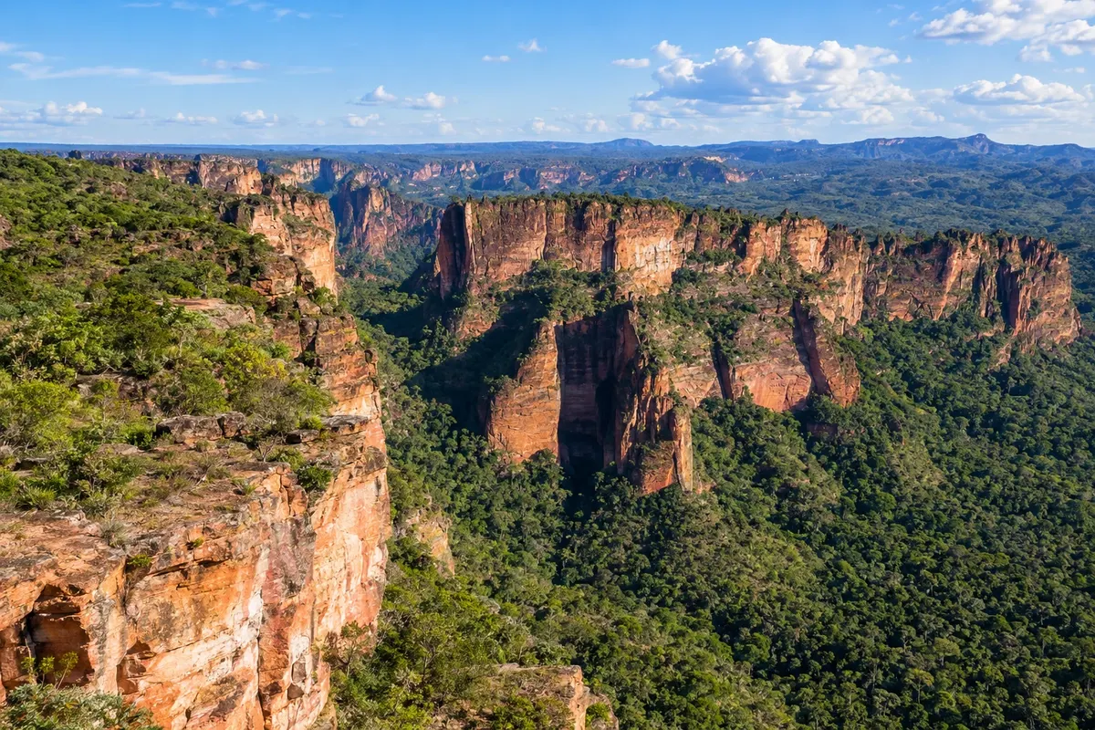
In the photo: Cidade de Pedra, Chapada dos Guimarães (MT)
Illustrative images. The pictures in this guide are illustrations based on the real place, not photographs, and may differ from it.
The state
Mato Grosso brings together three biomes, and travelers crossing the central-south feel that transition within a few hours on the road. Cuiabá, the capital, emerged from the 18th-century gold rush and preserves churches and historic houses in the city centre, such as the Igreja do Bom Despacho on Morro do Seminário. Cuiabá's culture has its own rhythm in the siriri and cururu, played on the viola de cocho, a wooden hollowed instrument recognized by Iphan. On the table are pacu, pintado, mojica and arroz maria-isabel made with dried beef. The heat is strong for much of the year.
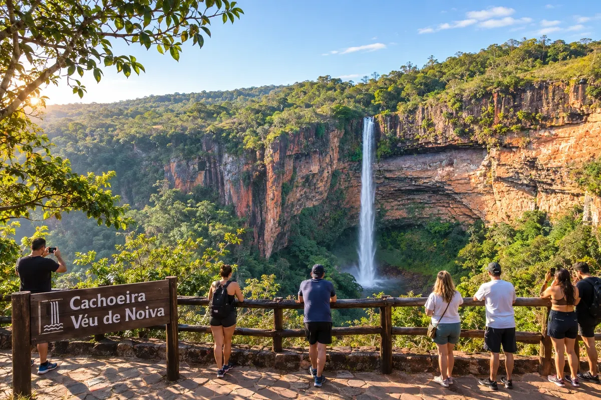
One hour from Cuiabá, Chapada dos Guimarães sits atop a range at about 800 meters altitude, with cooler nights. The Parque Nacional da Chapada dos Guimarães protects the Cachoeira Véu de Noiva, which drops 86 meters, the Cidade de Pedra and cliffs where araras-vermelhas fly. From the Mirante do Centro Geodésico and Morro dos Ventos the view reaches the plain and, on clear days, the capital itself. In the same area — Chapada dos Guimarães and Nobres — the town of Nobres leads to a different kind of landscape. In the district of Bom Jardim, rivers and lagoons of clear water allow floating among schools of fish, and the Lagoa das Araras receives flocks in the late afternoon. Rosário Oeste lies along the way.
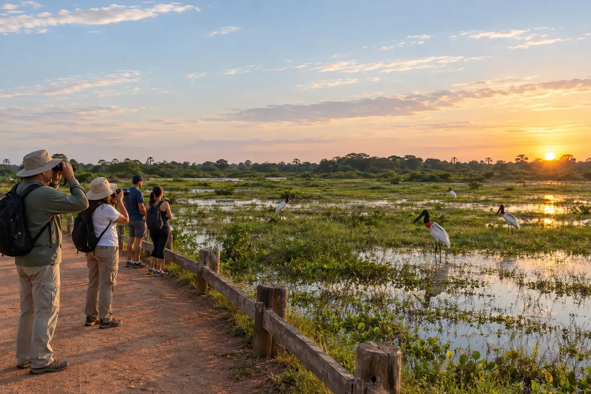
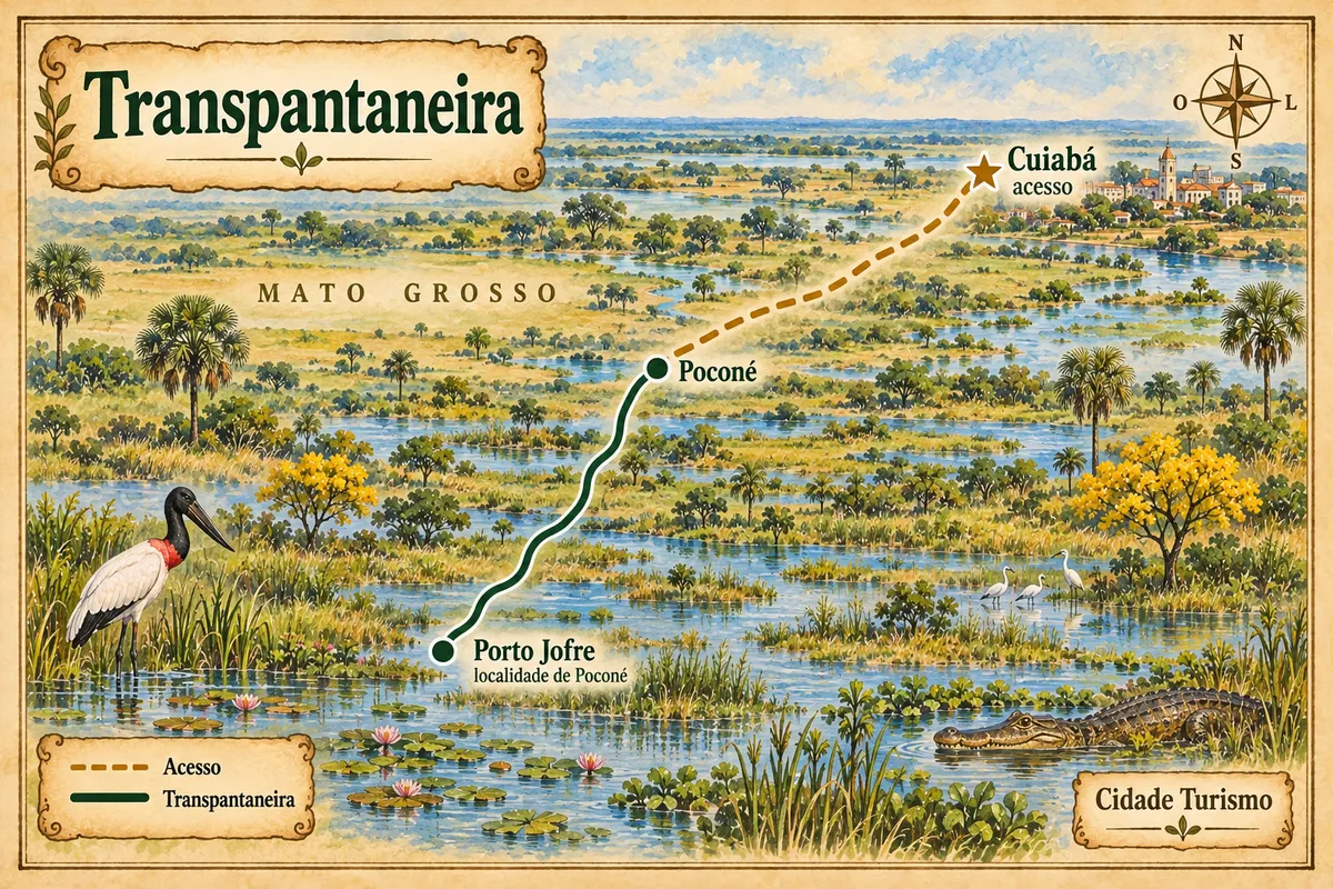
The Mato Grosso Pantanal begins south of the capital. Poconé is the gateway to the Transpantaneira, an unpaved road that runs about 147 km over dozens of bridges to Porto Jofre on the banks of the Rio Cuiabá. From there, boats go upriver in search of jaguars, which often appear on the banks in the dry season, though sightings are not guaranteed. Barão de Melgaço, amid rivers and bays such as Chacororé, preserves the riverside way of life. Cáceres, on the banks of the Rio Paraguai, has a cathedral and historic houses in the centre and each year hosts the Festival Internacional de Pesca Esportiva, operating a catch-and-release system.
Destinations
Cities
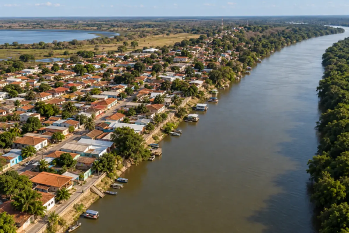
Barão de Melgaço's landscape is shaped by rivers, bays and the changing waters of the Pantanal. Baía de Chacororé is part of this environment, tied to the daily life of riverside communities.
Chapada dos Guimarães brings together sandstone cliffs, waterfalls and cerrado (Brazilian savanna) landscapes. The Véu de Noiva waterfall, inside the national park, shows the contrast between the escarpments and the valley vegetation.
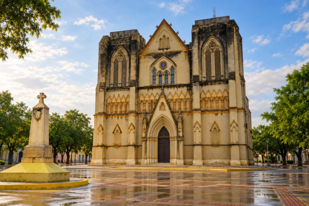
Cáceres brings together historic heritage and Paraguay River scenery on the edge of the Pantanal. The Catedral de São Luiz and the old downtown houses reveal different chapters in the city's history.
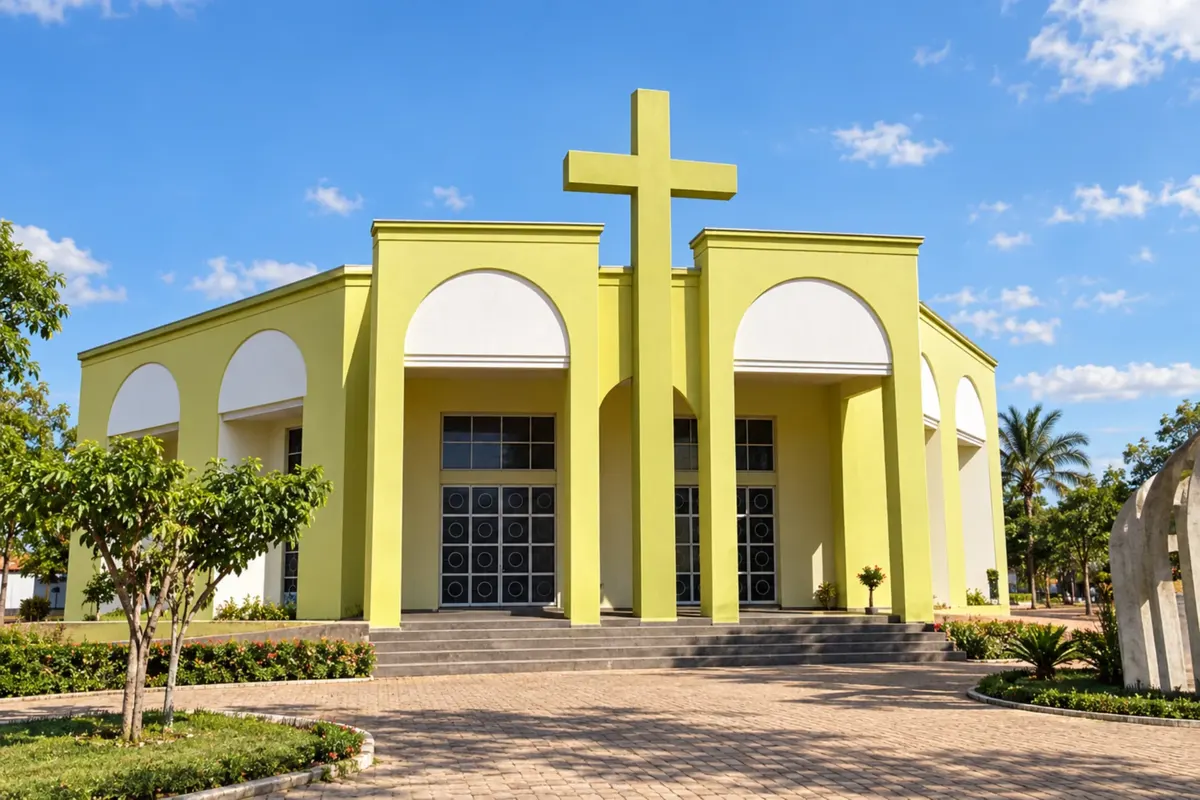
Nobres brings together clear-water rivers and cerrado (Brazilian savanna) landscapes in the interior of Mato Grosso. In the town center, the Igreja Matriz de São Sebastião (church) and its square are community gathering places.
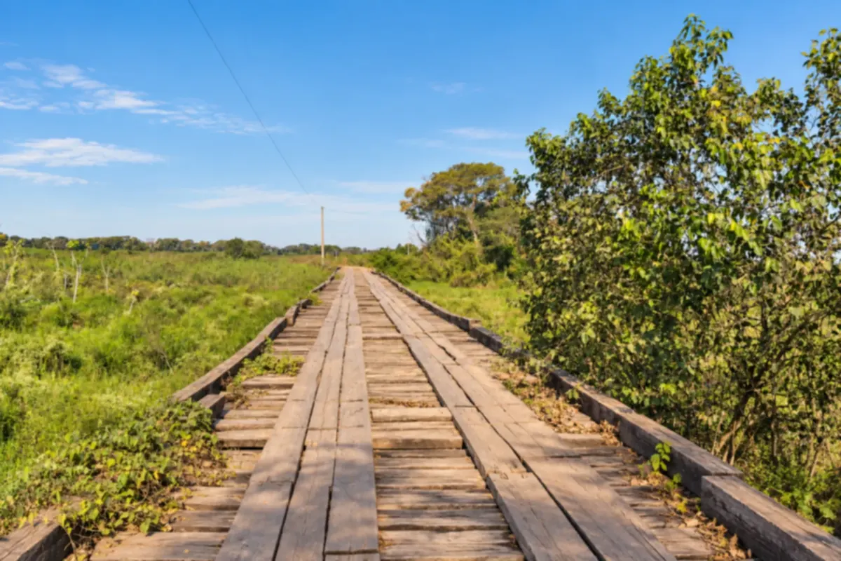
Poconé is the starting point for driving the Transpantaneira and exploring the Pantanal's landscapes. The road runs through floodplains and native vegetation to the Porto Jofre area.
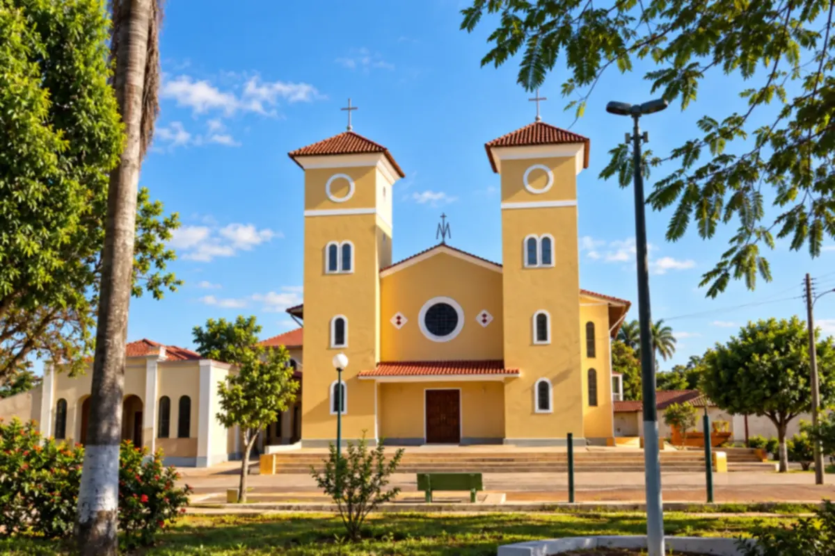
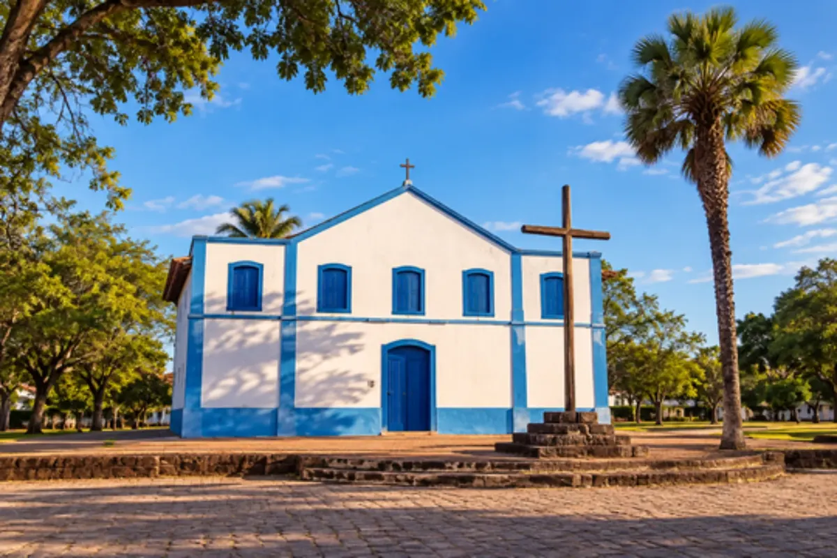
Rosário Oeste has a history tied to the old settlement routes of Mato Grosso. The main church and the downtown spaces bring visitors close to the town's heritage and everyday life.
Routes
The Mato Grosso year is divided between the wet season and the dry season. The dry season, from May to September, brings less rain, clear skies, clearer rivers in Nobres and better roads in the Pantanal, where wildlife is easier to spot. The hottest weather arrives in September and October, with smoke from fires in some years. The rainy season, from October to April, floods the plain and makes sections of the Transpantaneira difficult. Chapada dos Guimarães cools in winter and has a winter festival. The piracema runs from October 1 to January 31, during which fishing is prohibited.
Marechal Rondon International Airport is in Várzea Grande, adjacent to Cuiabá, and has direct connections to the country's major cities. From the capital, MT-251 climbs the range and crosses the national park to Chapada dos Guimarães, about 65 km away. Nobres is roughly 150 km away via BR-364 and MT-241. For the Pantanal, MT-060 leads to Poconé, where the Transpantaneira begins; the stretch to Porto Jofre is unpaved and requires a high-clearance vehicle in the rainy season. BR-070 continues to Cáceres, and BR-163 links Cuiabá to the south toward Mato Grosso do Sul.
Your questions
In the dry season, a regular car will usually reach Porto Jofre, driving slowly and taking care at wooden bridges and potholes. In the rainy season, floods can interrupt sections, and a high-clearance or four-wheel-drive vehicle is safer. Refuel before leaving Poconé and check road conditions the day before.
The Porto Jofre region, at the end of the Transpantaneira, is the most well known. Tours depart by boat along the Rio Cuiabá and its tributaries, and chances are higher in the dry season, from May to October, when animals concentrate on the banks. Hire experienced local boatmen and guides and keep your distance from the animals.
Two days are enough for the national park, the Cidade de Pedra and the viewpoints of Chapada dos Guimarães. Nobres needs one or two more days, because the attractions are in the district of Bom Jardim, some distance from the town, and the floating activity takes much of the day. With four days, both fit in without rushing.
No. In Mato Grosso, the piracema runs from October 1 to January 31, and during that period only subsistence fishing by riverside communities is permitted. Outside the closed season, fishing requires a license, and several lodges and boat operators work with catch-and-release.
Mapa: @svg-maps/brazil, CC BY 4.0
Beyond the guide