Chapada dos Guimarães

Mato Grosso · Brazil

Chapada dos Guimarães

In the destination Chapada dos Guimarães and Nobres.

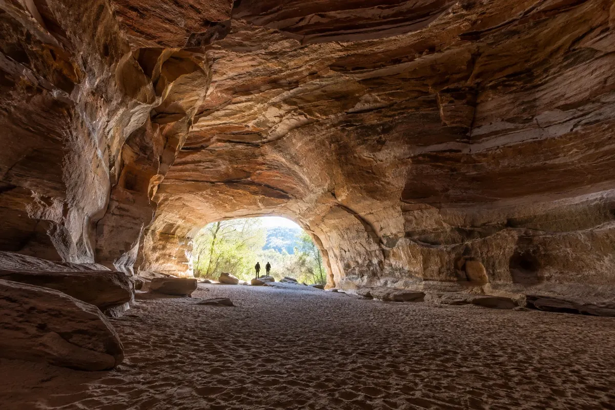
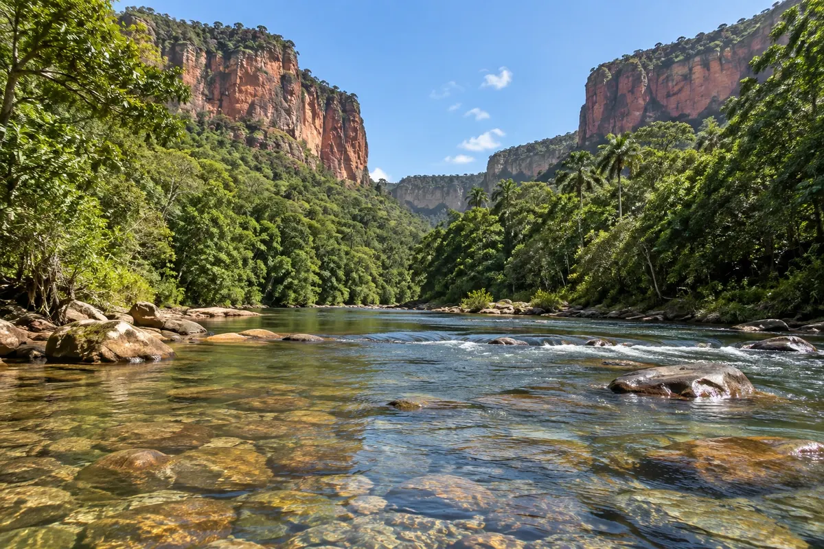
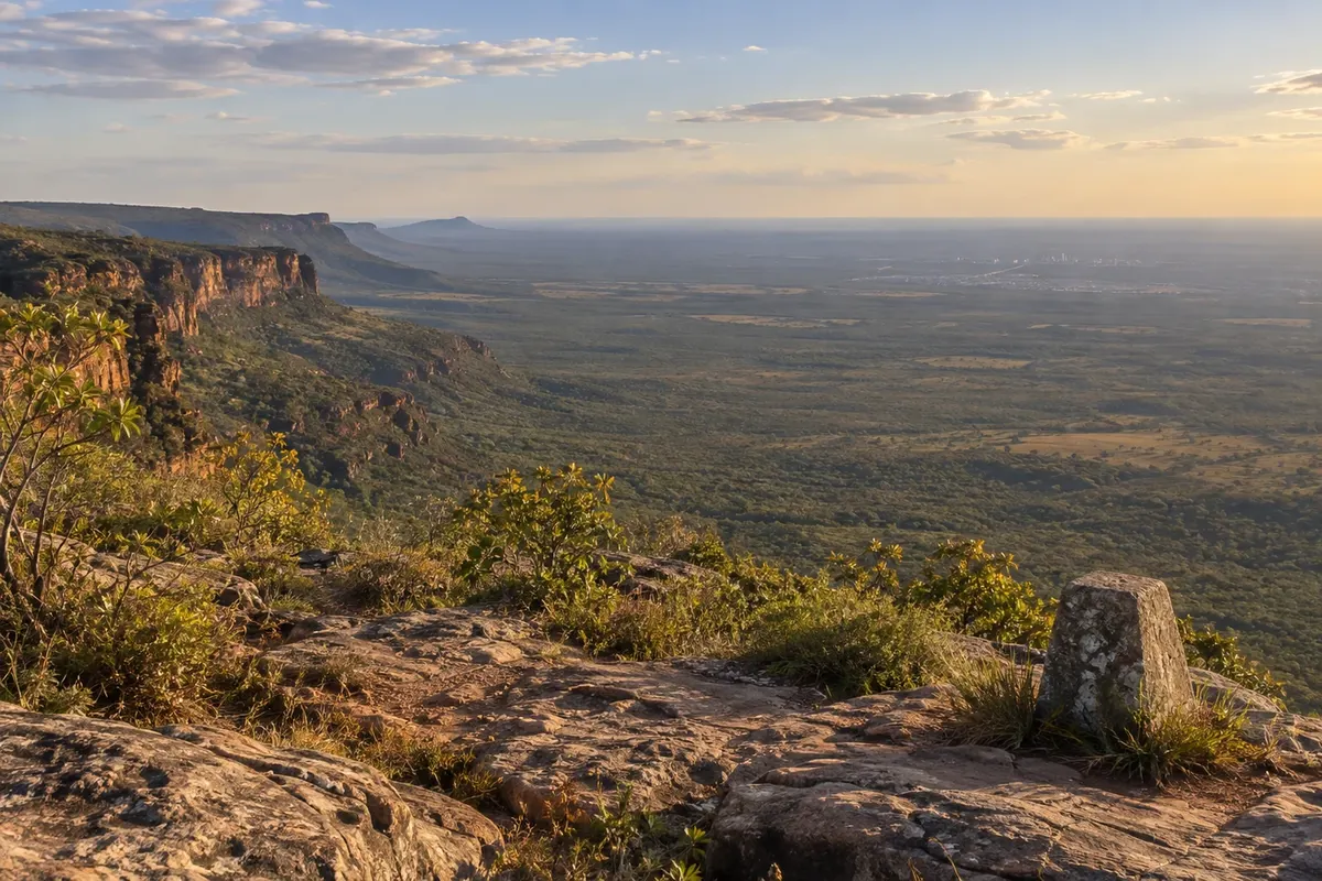
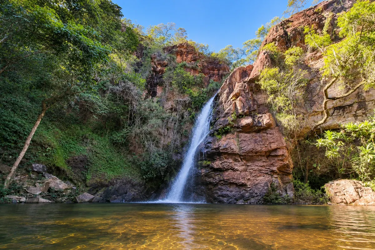
Illustrative images. The pictures in this guide are illustrations based on the real place, not photographs, and may differ from it.

Get it on Google Play Send your photos

The city

What to expect from Chapada dos Guimarães.

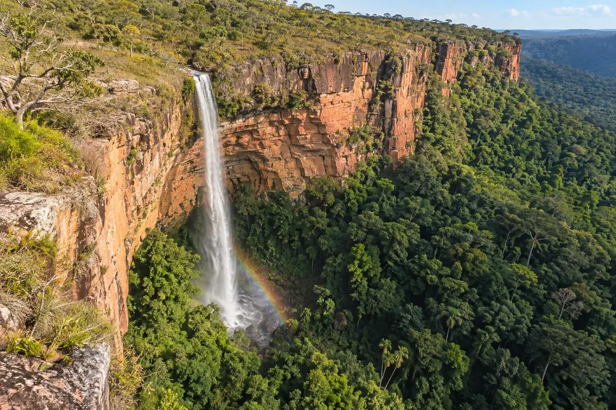
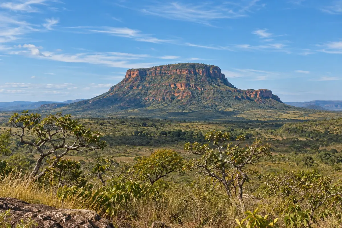
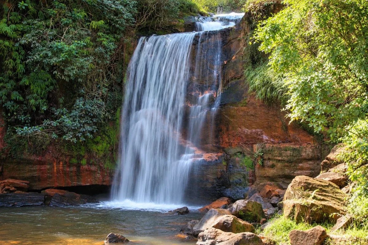
Chapada dos Guimarães brings together sandstone cliffs, waterfalls and cerrado (Brazilian savanna) landscapes. The Véu de Noiva waterfall, inside the national park, shows the contrast between the escarpments and the valley vegetation.

Chapada dos Guimarães is a small town of about 19,000 inhabitants, on a sandstone plateau about 65 km from Cuiabá, the capital of Mato Grosso. The road climbs from the hot lowlands of the capital up to the edge of the plateau, and the change is noticeable in the air: the climate is milder and breezier, especially at night.

What brings visitors is what surrounds the town. Twelve kilometers from the center is the entrance to Chapada dos Guimarães National Park, created in 1989, with red cliffs, veredas and the Véu de Noiva waterfall, which drops 86 meters. The park protects several types of Cerrado vegetation and rocks that were once seabed and desert. Around it, on private properties, are viewpoints overlooking the Cuiabá plain, bathing waterfalls, clear-water rivers and sandstone caves.

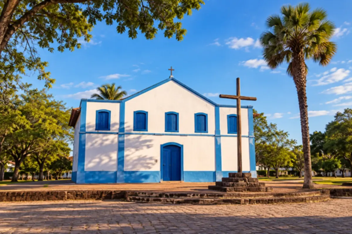
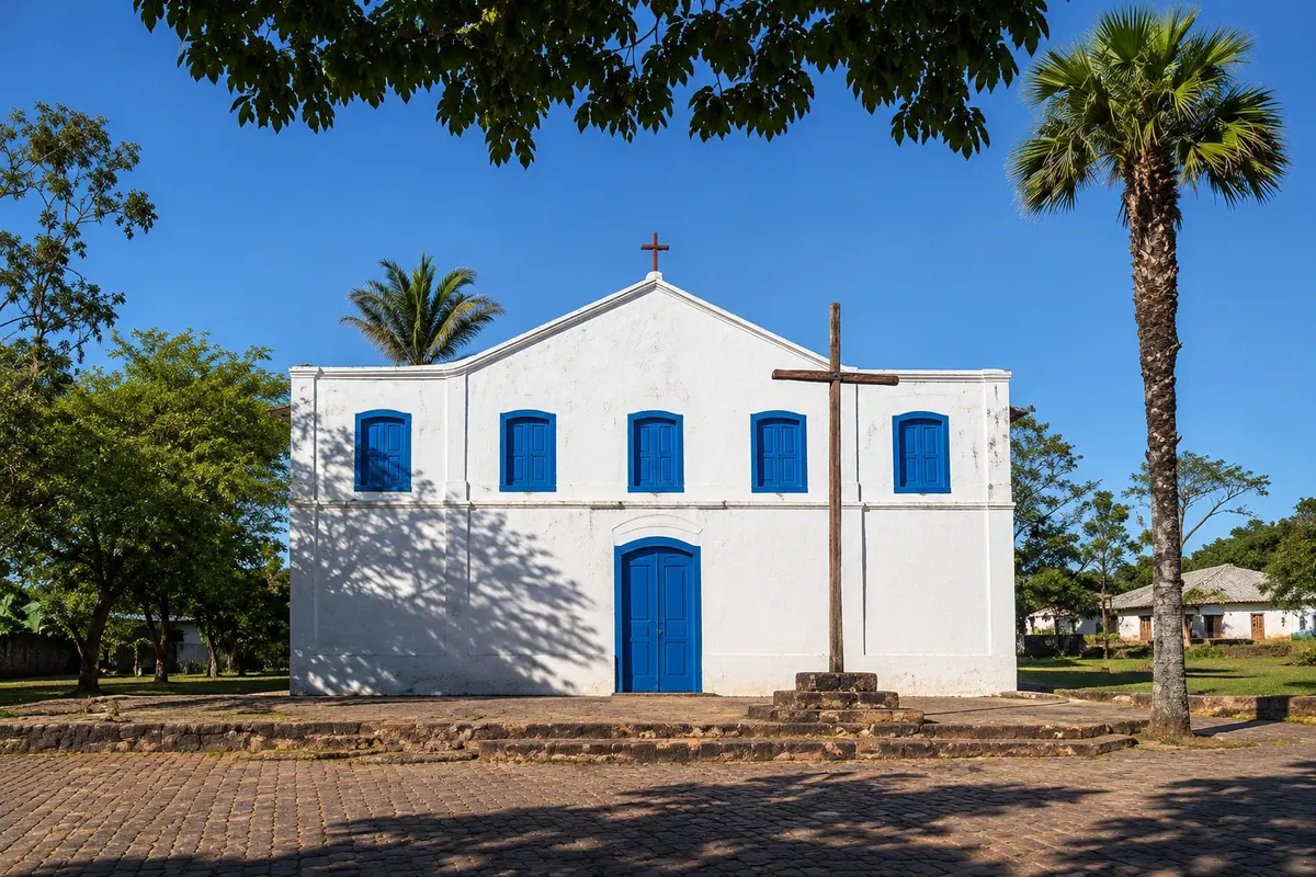
The town itself is the support base. The center is summed up by Praça Dom Wunibaldo, large and tree-lined, with the Igreja de Sant'Ana do Sacramento, craft shops, restaurants, bakeries and bars with live music. Weekend nights are lively, since many people drive up from Cuiabá to dine in the cooler weather. During the week, the square is much quieter.

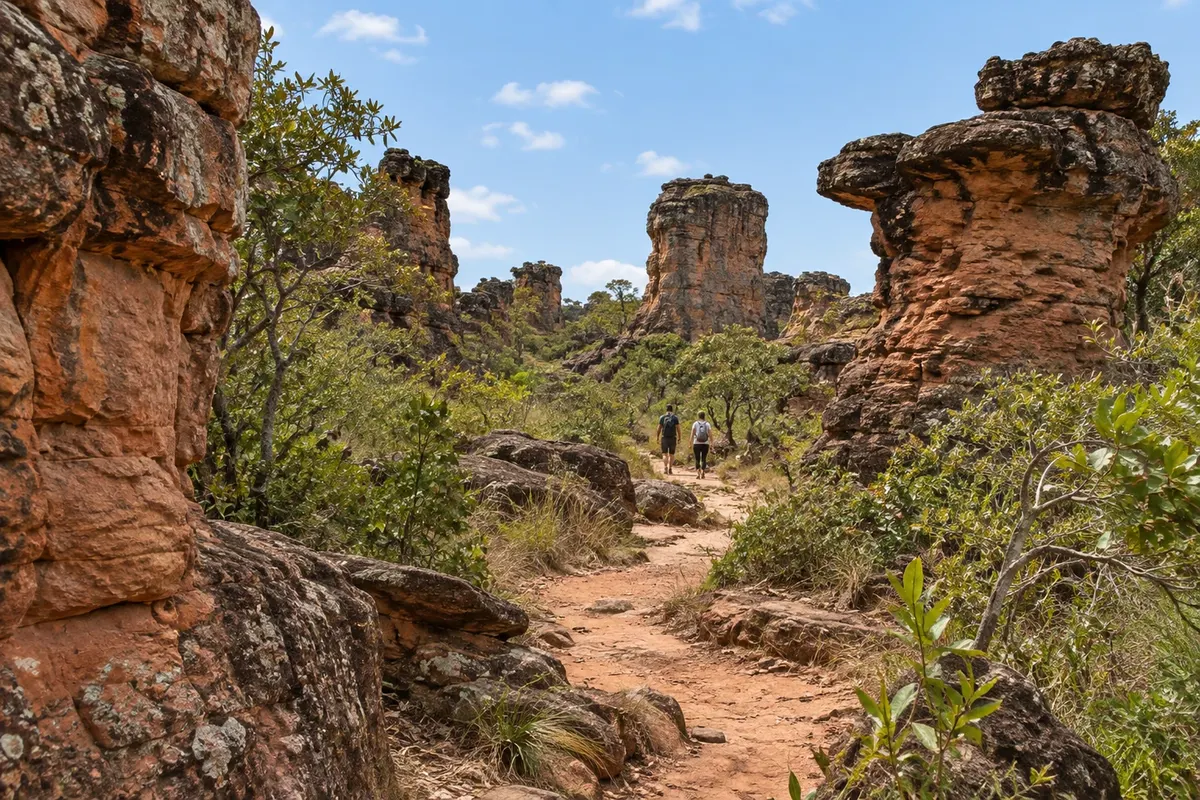
It helps to understand the geography before planning your days. Attractions spread in three directions. Toward Cuiabá, along MT-251, are the park entrance, the Véu de Noiva and, with a guide and a 4x4 vehicle, Cidade de Pedra and Vale do Rio Claro. Near the town are the Centro Geodésico viewpoint, the Marimbondo and Geladeira waterfalls and Serra do Atmã, the municipality’s highest point. Toward Campo Verde are the Aroe Jari caves, more than 40 km away, and the Rio da Casca waterfalls, such as Martinha. There is no public transport to these places: you go by car, with an agency or with a guide.

The park has its own rules. It does not charge entrance fees. The Véu de Noiva viewpoint and two waterfall trails are visited independently, with access only in the morning on the trails and a daily limit on visitors. Cidade de Pedra, Vale do Rio Claro and Morro de São Jerônimo require an authorized guide, who handles scheduling.

The year is divided into two seasons. From May to September it hardly rains: trails are firm, the sky clear and nights cool, with lows around 17 °C in July. From October to April it rains a lot, with showers in the late afternoon; waterfalls swell and the vegetation turns green. In July, the Winter Festival and the feast of Sant'Ana, the patron saint, fill the square.

Two days are enough for Véu de Noiva, one viewpoint and a waterfall bath. With three or four days you can include Cidade de Pedra, the caves and the more distant waterfalls.

Share: WhatsApp

Where to stay

68 places to stay in Chapada dos Guimarães.

Where to eat

11 places to eat in Chapada dos Guimarães.

Chapada dos Guimarães highlights and titles

Waterfalls
Caves
National park

The local experience

What to see in Chapada dos Guimarães

grotto

Caverna Aroe Jari

One of the largest sandstone caves in Brazil, with tunnels more than a kilometer long, and the nearby Lagoa Azul with intensely colored water. The tour combines a hike, a cave and a swim.

Discover Caverna Aroe Jari

See 5 more places in Chapada dos Guimarães
Waterfall / trail

Waterfalls Circuit

Trail of about 6 km round trip in Chapada dos Guimarães National Park that follows the Independência stream past six waterfalls: Sete de Setembro, Pulo, Degraus, Prainha, Andorinhas and Independência, with swimming holes at most of them.

Discover Waterfalls Circuit

To choose before you go

Tours in Chapada dos Guimarães

Where each tour starts, how long it takes, how it is done, what is included and the price range.

Dom Wunibaldo Square and Sant'Ana Church: the town center

From Dom Wunibaldo Square on foot 1 to 2 hours late afternoon or evening easy

Chapada dos Guimarães town center is small and revolves around a single square: Dom Wunibaldo, wide and full of trees. That’s where the town gathers and where visitors return at the end of each outing. On one side sits the Church of Sant'Ana do Sacramento, the patron saint’s church. In July, Sant'Ana’s festival brings masses and processions to the square. Around the square are the craft shops, restaurants, bakeries, snack stalls and bars with live music. Menus often feature galinhada and local river fish. The square changes with the day. From Friday to Sunday and on holidays the evenings are lively: Cuiabá is nearby and many people come up the plateau to dine in cooler temperatures. From Monday to Thursday, activity is much quieter. There’s no set itinerary. The walk is to circle the square, enter the church if it’s open, browse the crafts and choose where to dine. The town is also where you hire agencies and guides who take you to Cidade de Pedra, caves and waterfalls.

Stops: Dom Wunibaldo Square, Church of Sant'Ana do Sacramento, Craft shops.

Includes: Self-guided visit, no fee for the walk. Purchases and meals extra.

Tip: Leave town for late afternoon, after the trips. Bring a light jacket from May to August: nights cool down. Fill up the car in town before heading to the more distant attractions.

Best time: All year. In July, the Winter Festival and the patron saint’s celebration fill the square.

Mirante do Centro Geodésico and Marimbondo and Geladeira waterfalls

From Chapada dos Guimarães town center car by short walks half day morning or afternoon easy

This is the simplest outing from town: everything is less than 10 km from the center and does not require a guide. The Mirante do Centro Geodésico is 8.5 km away, accessible via MT-251 and a short stretch of dirt road. It is a natural lookout on the edge of the plateau. From the top of the cliff you can see the Pantanal plain and, on clear days, the city of Cuiabá in the distance. A rock jutting out over the void gives the impression of being suspended above the cliff and has become the most reproduced photo of the place. The name requires an explanation. There is a marker there, and many people believe it to be the geodesic center marker of South America. The city government clarifies that this marker, placed in 1909 by the Rondon Commission, is in Cuiabá. The lookout is presented as the center of the continent in another sense: a point at the same distance from the Atlantic and the Pacific, about 1,600 km from each ocean. On the way back, two waterfalls on private properties serve for bathing. Cachoeira do Marimbondo, 6.5 km from the center, is about 15 meters high and falls into a lake roughly 10 meters in diameter. Cachoeira da Geladeira, at 7 km, has a 9-meter drop and a deep pool surrounded by stone benches; the name warns about the water temperature. Both are quite frequented, especially on hot weekends.

Stops: Mirante do Centro Geodésico, Cachoeira do Marimbondo, Cachoeira da Geladeira.

Includes: There is no entrance fee at the lookout. The waterfalls are on private properties and charge a fee per visitor: check the current table.

Tip: Go to the lookout early or late afternoon, when the light is better and the heat is lower. Respect the edge of the cliff. Bring swimwear, a towel and cash for fees.

Best time: All year. From May to September the view from the lookout is usually clearer; in the rainy season the falls have more water.

Park Entrance: Bridal Veil, Cachoeirinha and Lovers' Waterfall

From Main park entrance on MT-251 car to the entrance; self-guided trails on foot 3 to 4 hours morning easy

The main entrance of the National Park is on MT-251, 12 km from town, and gives access to the visits that are done without a guide. It’s the easiest morning to organize on your own. The Bridal Veil viewpoint is the park’s main attraction. The trail is about 620 meters each way, is easy and marked, and has almost no shade. From the viewpoint you can see the Coxipó River drop 86 meters into a red sandstone amphitheater, with the valley covered in forest below. Scarlet macaws often fly along the cliff. The visit is only for viewing: you do not go down to the base or bathe. The viewpoint is open to visitors every day, with entry allowed until mid-afternoon, without reservation. From the same entrance starts the Cachoeirinha and Lovers' Waterfall trail, about 3 km round-trip, also easy. Cachoeirinha has an 18-meter drop into a shallow pool with sand around it. Lovers' Waterfall is lower, about 6 meters, and has a particular feature: you can go behind the curtain of water. Swimming is allowed at one of the two; check at the entrance which one is open that day. Rules are different on this trail. Entry is only permitted in the morning, and you must exit by mid-afternoon. There is a daily limit of 300 visitors, on a first-come, first-served basis, with no reservation; when the limit is reached, entry closes earlier. The Waterfalls Circuit, which is longer, also departs from the same entrance, with similar rules and a lower visitor limit. If you want to do both, you need two days or a lot of stamina. The park is closed on December 24, 25 and 31 and on January 1.

Stops: Chapada dos Guimarães National Park, Bridal Veil Waterfall Viewpoint, Cachoeirinha, Lovers' Waterfall, Coxipó River.

Includes: The park does not charge entrance or parking fees. A guide is optional on these trails and, if hired, is paid separately. Restaurant and shop near the gate, separate charges apply.

Tip: On weekends, holidays and school breaks, arrive early: trail spots can fill in the first hours. Bring water, a hat, sunscreen and swimwear. Minors enter accompanied by parents or guardians. Pets are not allowed.

Best time: From May to September the trail stays firm. From November to March the Véu de Noiva waterfall has higher volume, and it's advisable to go early before the afternoon rain.

Serra do Atmã: Pedra dos Sete Caixões, Ninho das Águias and sunset

From Chapada dos Guimarães town center car and short trail, with guide 3 to 4 hours afternoon, up to sunset easy to moderate

Serra do Atmã is the highest point of Chapada dos Guimarães, over 850 meters above sea level, and begins less than 5 km from the town center. From its natural viewpoints you can see the Cuiabá plain, the National Park, the Cidade de Pedra and, on clear days, the state capital. Pedra dos Sete Caixões, also called Caixão de Pedra, is 5 km from the center. A 2 km trail leads to the top of a hill where stacked sandstone blocks resemble seven coffins, one on top of another, more than 150 meters high. From there you can see the cliffs and the formations of the range. Ninho das Águias, 16 km from the center, is on a private property adjacent to the park. The view reaches Cuiabá, Morro de Santo Antônio, Morro de São Jerônimo and Cachoeira de Santa Bárbara, 174 meters, seen from a distance. Below passes the Tope de Fita road, an old drovers’ route. Mirante Alto do Céu, 17 km away, is the most sought-after viewpoint at the end of the day. It has a deck with a bar and music, and the sun sets over the plain in the direction of Cuiabá. After dark, the lights of the capital appear in the background. The city recommends a guide for Serra do Atmã, Pedra dos Sete Caixões and Alto do Céu. Local guides arrange the afternoon according to available time, usually with a short trail and sunset at one of the viewpoints.

Stops: Serra do Atmã, Pedra dos Sete Caixões, Ninho das Águias, Mirante Alto do Céu.

Includes: Separate paid guide. Viewpoints on private properties charge an entrance fee: check the current price list. Drinks at the bar are paid separately.

Tip: Agree with your guide the order of the viewpoints so you reach the last one before sunset. Bring a jacket from May to August because it’s windy on the heights. On the return drive, go slowly: animals often cross the road at dusk.

Best time: From May to September, with clearer skies in the late afternoon.

Cachoeira do Índio and the falls at Sítio Jamacá

From Chapada dos Guimarães town center car by car and a short walk half day morning or afternoon easy

Cachoeira do Índio is on private land about 13 km from the center. The route has 7 km of paved road and 5 km of dirt road, and ends with a walk of roughly 1 km. The name comes from the cliff face where nature has carved a profile that looks like a human face. The waterfall is the best-known spot on the property, but it is not the only one: the same estate has three other falls — Jatobá, das Fadinhas and do Cipó — all accessed via the same trail. It’s a swimming and relaxing outing, suitable if you only have half a day, for the day you arrive or the day you depart. The owner lives on site and maintains a small parking area and a restroom. Visits can be done with a guide or independently, but a reservation is requested. In the rainy season, check the condition of the dirt road before you set out.

Stops: Cachoeira do Índio, Cachoeira do Jatobá, Cachoeira das Fadinhas, Cachoeira do Cipó.

Includes: Entrance fee paid on site: check the current rates. Guide optional, paid separately. Bring your own food and drinks.

Tip: Reserve before you go. Wear footwear that can get wet and bring insect repellent. Combine with the Mirante do Centro Geodésico, which lies in the same direction.

Best time: From April to June the falls usually have good volume with more stable weather.

Cachoeira da Martinha and Cachoeira do Paraíso, on the Rio da Casca

From Chapada dos Guimarães center, via MT-251 toward Campo Verde car, with short trails one day all day easy

Rio da Casca runs along the border between Chapada dos Guimarães and Campo Verde and forms the sequence of waterfalls with the highest water volume in the municipality. It is about 42 km from the town center via MT-251, heading away from Cuiabá, and is a full-day swimming outing. Cachoeira da Martinha, also called Cachoeira do Casca, is a series of five drops with a wide natural pool good for swimming. It is close to the highway, with a short trail, and does not require a guide. Around it are rock formations and preserved forest. A few kilometers away, about 40 km from the center, Cachoeira do Paraíso is on private property on the same river. It brings together cascades and several pools, some shallow, others deep, fed by springs of clear water; each has a name, such as Poço Verde, Encanto and Piscinão. The trail is easy and suitable for people with reduced mobility or limited fitness. Visits there require a guide and a reservation. You can do both in the same day, starting with the one that requires a reservation.

Stops: Cachoeira da Martinha, Rio da Casca, Cachoeira do Paraíso.

Includes: The sites charge an entrance fee: check the current rates. At Cachoeira do Paraíso a guide and a separate reservation are required.

Tip: Leave early, bring snacks, water, swimwear and sunscreen. Do not enter the river after heavy rain in the headwaters. Fill up the car in town before taking the road.

Best time: From May to September the water is clearer and the level is more stable; from December to March the volume is higher.


See 1 more tour

Bathing and tubing on Rio Claro and Rio Paciência

From Chapada dos Guimarães town center car to the bathing resorts half a day to a day all day easy

At the foot of the plateau’s cliffs run clear-water rivers where you can see fish swimming. This is the bathing-resort region, between 22 km and 38 km from the center, for those who want a day in the water without hiking. Rio Claro is the best known. It springs inside the National Park, where the visit requires a guide and a 4x4 vehicle, and continues through private areas. In those areas there are bathing resorts with easy access for all ages, some with a walkway to the water, ramps and guardrails. One of them, 27 km from the center, is for river bathing only. Another, 38 km away, combines a natural pool, zipline, viewpoint, trail and restaurant. The typical activity is tubing: you float down a stretch of gentle rapids seated on an inflatable tube, carried by the current. It can be done by people of various ages. There are also kayak trips. On Rio Paciência, 34 km from the center, an estate has a bathing area 50 meters from reception and a restaurant serving regional food. Each place has its own rules: some require reservations and limit the number of people per day, others accept visitors on a first-come, first-served basis.

Stops: Rio Claro, Rio Paciência, Balneários do Rio Claro.

Includes: Each bathing resort charges its own entrance fee; tubing, kayaking, zipline and meals are paid separately. Check each resort’s current price list.

Tip: Call ahead to confirm opening hours and to reserve, especially on weekdays. Bring swimwear, a towel and footwear that can get wet.

Best time: From May to September, when water is clearest. After heavy rain rivers become turbid.

Day by day

1, 2 and 3-day itinerary in Chapada dos Guimarães

Suggestions to plan the trip. Change the order of the days according to the weather and tour availability.

1 days · Chapada dos Guimarães in 1 day: Véu de Noiva, waterfall and lookout

For those coming up from Cuiabá for a day trip · Based in Cuiabá or downtown Chapada dos Guimarães
  1. Day 1 · National Park in the morning, viewpoint in the afternoon

    Leave Cuiabá early via MT-251; it’s about 65 km to the town, and the National Park entrance is before it, 12 km from the center. Start with the Cachoeirinha and Cachoeira dos Namorados trail, which only allows entry in the morning, and bathe where permitted. On the way back, go to the Véu de Noiva viewpoint. Have lunch near the park entrance or continue to Praça Dom Wunibaldo in the town center. In the afternoon, go to the Centro Geodésico Viewpoint, 8.5 km from the center. If you prefer to finish the day at sunset, arrange with a guide to go to one of the Serra do Atmã viewpoints. Descend the mountain while there is still light or dine in the square and return afterward. Cidade de Pedra and the caves don’t fit into a single day.

2 days · Chapada dos Guimarães in 2 days: park, Cidade de Pedra and sunset
For weekend and first visit · Based in Chapada dos Guimarães town center
  1. Day 1 · Véu de Noiva, park entrance waterfalls and Centro Geodésico

    Arrive early at the National Park entrance. Do the Cachoeirinha and Cachoeira dos Namorados trail first, about 3 km, and then the Véu de Noiva viewpoint. If you have more energy, swap the first trail for the longer Circuito das Cachoeiras. After lunch, rest and go to the Centro Geodésico Viewpoint. If there’s time left, bathe at Cachoeira do Marimbondo or Cachoeira da Geladeira. At night, Praça Dom Wunibaldo: crafts, dinner and music. Confirm with the guide the departure time for the next day.

  2. Day 2 · Stone City and Claro River Valley with driver

    Full day with an authorized driver and a 4x4 vehicle, booked in advance. In the morning, the Cidade de Pedra viewpoints on the plateau edge, about 24 km from the center. Then descend to the Vale do Rio Claro, with an ascent to Crista de Galo and a swim in the river pools. The driver picks up the keys at the main gate in the morning and handles the booking. Bring snacks, water, closed shoes and swimwear. On the return, if there’s still light, watch the sunset at Serra do Atmã or at Mirante Morro dos Ventos, 3 km from the center. Those leaving the same day have about an hour’s drive to Cuiabá.

3 days · Chapada dos Guimarães in 3 days: park, caves and waterfalls
For long weekend, with time for a cave and a river bath · Based in Chapada dos Guimarães town center
  1. Day 1 · Arrival, Véu de Noiva and the square

    On the climb from Cuiabá, stop at the National Park entrance. If you arrive in the morning, do the Cachoeirinha and Cachoeira dos Namorados trail; if you arrive after noon, only the Véu de Noiva viewpoint accepts visitors. Settle in town and, late in the afternoon, go to the Centro Geodésico Viewpoint. Dine at Praça Dom Wunibaldo.

  2. Day 2 · Stone City, Claro River Valley and sunset

    Day with an authorized driver and 4x4: Stone City in the morning, Crista de Galo and a swim in the Claro River afterwards. It’s the longest day, with lots of sun and little walking. At late afternoon, sunset at Mirante Alto do Céu or another point of the Serra do Atmã, arranged with the guide.

  3. Day 3 · Aroe Jari caves or Rio da Casca waterfalls

    For those who want caves: the Aroe Jari circuit, more than 40 km from the center toward Campo Verde, is only done with a guide and takes the morning and early afternoon. It includes the largest sandstone cave in Brazil and Lagoa Azul, which is for viewing only. For those who want water: Martinha Waterfall, 42 km away, with a large pool for swimming, alone or combined with Paraíso Waterfall, which requires a guide and reservation. For a short day before descending the range: Índio Waterfall, 13 km away, or one of the Claro River bathing areas. In heavy rain, swap the cave and rivers for the viewpoints and the town center.

Best time to go

When to go: Chapada dos Guimarães month by month

The seasons shown are the most usual ones; nature doesn't always follow the calendar.

January High rain

Rivers high · Afternoon rain · Holidays

One of the rainiest months, averaging around 275 mm, lows of 23 °C and highs of 30 °C. Véu de Noiva and the bathing waterfalls are very full. Downpours usually come in the afternoon: do trails in the morning. The rivers at the foot of the range become turbid after storms, and the sand road to Stone City gets harder. The park closes on January 1st.

February High rain

Frequent rain · Lush green

It rains on almost every day, averaging around 240 mm with temperatures between 22 °C and 30 °C. The Cerrado is green and the falls are full. Trails and rocks become slippery.

March High rain

Still heavy rain · Lush green

Rain remains heavy, averaging about 239 mm, and begins to decrease at the end of the month. Low of 22 °C and high of 30 °C. The waterfalls keep good flow. Check road conditions with the guide before booking Cidade de Pedra and the caves.

April Some rain

End of rains · Waterfalls still full

A transition month: rainfall drops to about 100 to 120 mm and showers become more spaced out. Temperatures between 21 °C and 30 °C. Waterfalls still have plenty of water and clear days become more common. It’s one of the most balanced periods to combine hiking and swimming.

May Low rain

Start of the dry season · Firm trails

The dry season begins, with about 33 mm of rain on average, lows of 19 °C and highs of 29 °C. Trails firm up, viewpoints clear, and waterfalls still have water. Less traffic than in July.

June Low rain

Dry · Cool early mornings

Dry month, with an average near 12 mm. Early mornings are cool, with lows around 18 °C, and days reach 29 °C. Good for long hikes such as Morro de São Jerônimo, and for sunsets at the viewpoints. Bring a light jacket for the evening in the square.

July Low rain

Winter Festival, between July and August · Festa de Sant'Ana · Holidays

The month with the least rain, averaging about 6 mm, with lows around 17 °C and highs of 29 °C. It’s the busiest month: holidays, the patron saint festival with masses and processions, and the Winter Festival with concerts and a food fair in town center. Book accommodation and guides in advance and arrive early at the park entrance.

August Low rain

Dry air · Increasing heat · End of Winter Festival in some years

Still dry, with about 10 mm of rain. Highs rise to 32 °C and lows stay near 19 °C. Air humidity is low: bring plenty of water and a hat. Waterfalls have reduced flow. Viewpoints at the end of the day usually have clear skies.

September Some rain

Very hot · First showers

Heat reaches 33 °C, with lows near 21 °C. Rain returns gradually, averaging 45 to 58 mm, often as late-afternoon downpours. A good month for waterfall and river swims. Save long hikes for the morning.

October Some rain

Rains return · Heat

The rainy season restarts, averaging near 135 mm and temperatures between 23 °C and 32 °C. Late-afternoon storms reappear and the waterfalls start to gain volume. Favor morning outings and confirm dirt-road conditions.

November High rain

Frequent rain · Green cerrado

Frequent rain, averaging around 183 to 189 mm. Lows of 22 °C to 23 °C and highs of 31 °C to 32 °C. The Cerrado returns to green and the waterfalls fill. A low-traffic month, good for those who can adapt their itinerary to the weather.

December High rain

Heavy rain · Year-end · Park closed on the 24th, 25th and 31st

One of the rainiest months, averaging around 233 to 240 mm, with a low of 23 °C and highs of 30 °C to 31 °C. The waterfalls are full. The National Park is closed on December 24, 25 and 31. There are more visitors during the holidays: book guides and lodging before you arrive.

Plan the journey

How to get there: Chapada dos Guimarães

By plane: via Cuiabá airport

Chapada dos Guimarães has no airport. The airport that serves the town is Marechal Rondon Airport, in Várzea Grande, in the Cuiabá metro area, about 8 km from the capital’s center. It receives direct flights from several Brazilian state capitals; the network changes with the season.

From the airport to the town it’s 65–75 km via MT-251, a little over an hour. Options are a rental car (rental desks at arrivals), a transfer booked with an agency or your lodging, or a bus that departs from Cuiabá’s bus station.

Mato Grosso is one hour behind Brasília time. This affects flight times, tours and the park entrance times.

If you arrive at night, have your transfer or car reserved before you fly.

By bus: from Cuiabá bus station

Buses to Chapada dos Guimarães depart from Cuiabá Bus Station. The direct trip takes about 1h30. There are several departures per day, from morning to early evening, with fewer services on Sundays and holidays.

If you land at the airport you need to get to the bus station first by taxi, rideshare or city bus. Flights that arrive late may not have a same-day bus connection.

The bus drops you in town but does not take you to the attractions: the park entrance is 12 km from the center, and the others are farther. Without a car, rely on agencies and guides for tours.

Tickets are paid separately and prices change by date: check the carrier’s current schedule and rates.

By car: via MT-251

From Cuiabá the route is MT-251, Rodovia Emanuel Pinheiro, about 65 km and roughly an hour’s drive. The road is paved, single carriageway and signed, and climbs the range between cliffs.

Along the way, in this order, are the Salgadeira bathing complex at 19 km from town, the km 43 viewpoint (a turnout at the roadside with views of the cliffs), and the National Park entrance, 12 km from the center.

In the rainy season landslides can restrict or close the Portão do Inferno section. In those cases there is a longer detour via Campo Verde that adds about 90 km and at least 2.5 hours. Check road conditions before you leave.

From other states the route goes through Cuiabá. Fuel up in the capital or in Chapada’s center: the number of gas stations in the town is limited.

Transfers, agencies and guides

If you don’t drive, local and Cuiabá-based agencies sell transfers and tours with transport. This is the most practical way to visit attractions that require a driver, because the package usually includes the guide, the 4x4 vehicle and the park reservation.

Inside the National Park, Cidade de Pedra, Vale do Rio Claro and Morro de São Jerônimo are only visited with an authorized driver hired directly by the visitor. The price is agreed with the professional and does not include an entrance fee, as the park has no charge. The list of authorized drivers is published by the park administration.

Outside the park, the municipality indicates guides for the Aroe Jari caves, the Circuito Águas do Cerrado, Serra do Atmã and Paraíso Waterfall.

There are also day trips departing from Cuiabá. Always ask what is included: transport, guide, property fees and lunch are often charged separately.

Getting around Chapada dos Guimarães

The town center is small and walkable: the square, church, shops and restaurants are just a few blocks from each other.

Not so for the attractions. Distances are long and there is no public transport to them. From the center it’s 3 km to Mirante Morro dos Ventos, 8.5 km to Mirante do Centro Geodésico, 12 km to the National Park entrance, about 24 km to Cidade de Pedra and more than 40 km to the Aroe Jari caves and Martinha Waterfall.

For attractions with free access, a regular car is fine: most of the way is paved, with dirt sections at the end. During the rainy season those sections get worse. Cidade de Pedra and Vale do Rio Claro require a 4x4 vehicle because of the sand.

Without a car, book tours with an agency or a guide before you arrive, especially in July and on holidays.

Get your questions answered

Frequently asked questions about Chapada dos Guimarães

Can you visit Chapada dos Guimarães on a day trip from Cuiabá?

You can see the main sights. The town is about 65 km from Cuiabá, roughly an hour on the road. In one day you can do the Véu de Noiva lookout, a short waterfall trail in the morning, lunch, and an afternoon viewpoint such as the Centro Geodésico. Cidade de Pedra, the Aroe Jari caves and the more distant waterfalls require at least one or two more days, with an overnight stay in town.

What is the best time to go to Chapada dos Guimarães?

From May to September, the dry season: it hardly rains, trails and dirt roads are firmer, and the views from the lookouts are clearer. July is the busiest month. From November to March it rains a lot, usually in the late afternoon, but the waterfalls have more water. April and May often combine the two: more stable weather and plenty of water.

Can you swim at Cachoeira Véu de Noiva?

No. The visit to Véu de Noiva is only for viewing from the lookout at the top of the cliff; there is no access to the base of the fall. For swimming inside the National Park, the options are the Cachoeirinha and Cachoeira dos Namorados trails and the Circuito das Cachoeiras, which depart from the same park entrance and only accept entry in the morning.

Do you need to book to visit Véu de Noiva?

No. The Véu de Noiva lookout is visited independently, without booking and free of charge, every day, with entry until mid-afternoon. The waterfall trails that start at the same entrance also do not require reservations but have a daily visitor limit, first come, first served. Only tours with mandatory guides are booked, and the guide makes the booking. The park is closed on December 24, 25 and 31 and on January 1.

Where can you swim in a waterfall near the center of Chapada dos Guimarães?

The closest are Cachoeira do Marimbondo, 6.5 km away, and Cachoeira da Geladeira, 7 km away, on private properties, without a guide required. Cachoeira do Índio is about 13 km away and requires a reservation. In the National Park, 12 km away, the Cachoeirinha and Cachoeira dos Namorados trail allows swimming in one of the falls. Private areas charge a fee: check the current rate table.

Is the Mirante do Centro Geodésico really the center of South America?

It depends on what you mean by center. According to the city hall, the geodetic marker of South America, fixed in 1909 by the Comissão Rondon, is in Cuiabá, not there. The lookout is presented as the point that lies at the same distance from the Atlantic and Pacific oceans. In any case, what you will see is the view: the edge of the plateau, the plain and, on a clear day, Cuiabá in the distance. It is 8.5 km from the center and does not require a guide.

Where can you watch the sunset in Chapada dos Guimarães?

The most popular spots are on the plateau edge facing Cuiabá. Mirante Alto do Céu, 17 km from the center, has a deck and a bar. Mirante Morro dos Ventos, 3 km away, has a deck over the cliff and a restaurant. Mirante do Centro Geodésico, 8.5 km away, has no fee. Lookouts on private properties charge entrance. Clear-sky days are more common from May to September.

Is it cold in Chapada dos Guimarães?

True cold is rare, but the town is considerably cooler than Cuiabá because of elevation and wind. From June to August early mornings are around 17 °C to 19 °C and daytime highs reach close to 30 °C. A light jacket is enough for nights and for the lookouts at sunset. From September to November the heat is strong, with highs above 30 °C.

Can you visit Chapada dos Guimarães without a car?

Yes, with planning. There are buses from Cuiabá to the town, taking about 1h30, and the center is walkable. But there is no public transport to the park entrance, the lookouts or the waterfalls. Without a car, the solution is to book tours with agencies and guides that include transport. Book in advance before arriving in July and on holidays.

When does the Chapada dos Guimarães Winter Festival take place?

Generally between July and early August, lasting about ten days, with dates set each year. It is the town's main event, with concerts, cultural performances and a food fair in the center, some programming free of charge. Also in July is the Festa de Sant'Ana, the patron saint's celebration. At that time accommodations fill up and prices rise: reserve in advance.

What to do in Chapada dos Guimarães when it rains?

In the rainy season, rain usually comes late in the afternoon, so mornings are productive: go early to Véu de Noiva, which is more voluminous, and to the park’s waterfall trails. Avoid rivers and pools after storms because water levels rise quickly. Sandy roads, like the one to Cidade de Pedra, can become impassable: check with your guide. For the afternoon, there are viewpoints with paved access and the town center, with crafts and the square’s restaurants.

How far is Chapada dos Guimarães from Nobres?

The town of Chapada dos Guimarães and the village of Bom Jardim, where Nobres’s floating tours take place, are about two hours’ drive from each other. The route goes down MT-251 toward Cuiabá, enters the Lago do Manso junction and continues on paved road to the village. You can combine both places on the same trip, staying overnight in each.

Traveler, share your experiences through photos Up to 5 photos of each place you visited.
See the destination Chapada dos Guimarães and Nobres Find another city

Beyond the guide