4 cities

 Search
Brazil
 Antarctica
 Argentina
 Bolivia
 Chile
 Colombia
 Ecuador
 Guyana
 French Guiana
 Falkland Islands (Malvinas)
 Paraguay
 Peru
 Suriname
 Uruguay
 Venezuela
 Germany
 Austria
 Belgium
 Croatia
 Denmark
 Slovakia
 Slovenia
 Spain
 Finland
 France
 Greece
 the Netherlands
 Hungary
 Ireland
 Iceland
 Italy
 Luxembourg
 Norway
 Poland
 Portugal
 the United Kingdom
 the Czech Republic
 Sweden
 Switzerland
 Turkey
 Bermuda
 Canada
 the United States
 Greenland
 Mexico
 Saint Pierre and Miquelon
 the Dominican Republic
 JapanTurkey
 South Africa
 Egypt
 Australia
 Fiji
 New Zealand
 Papua New Guinea
State · North
The country's newest state, Tocantins has a planned capital on the shore of a lake and, to the east, the dunes, the fervedouros and the veredas of Jalapão.
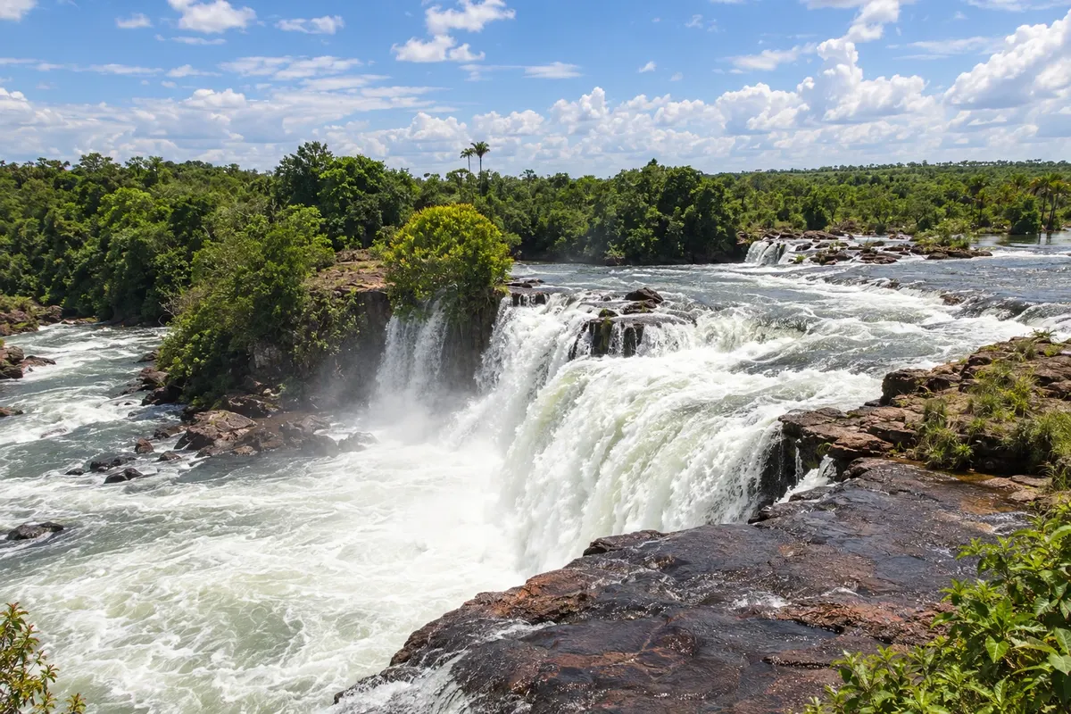
In the photo: Cachoeira da Velha, Jalapão (TO)
Illustrative images. The pictures in this guide are illustrations based on the real place, not photographs, and may differ from it.
The state
Tocantins was created in 1988, when it was split off from Goiás, and lies in the transition between the Cerrado and the Amazon. The Tocantins River crosses the state from south to north, and the Araguaia marks the western border, with Ilha do Bananal. For travelers, everything revolves around two poles: the capital and the Jalapão.
Palmas was founded in 1989 and built from scratch, with wide avenues and planned blocks. Praça dos Girassóis, one of the country’s largest public squares, brings together the Palácio Araguaia and monuments to the state’s history. The lake formed by the Lajeado hydroelectric plant gave the city freshwater beaches, such as Graciosa and Arnos, which fill up in the late afternoon. About 30 kilometers away, the district of Taquaruçu has hills, milder climate and waterfalls.
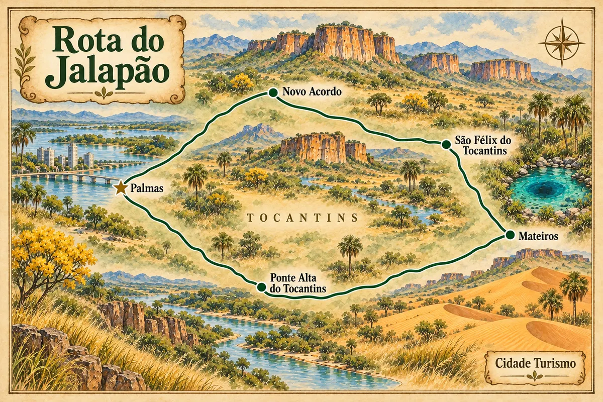
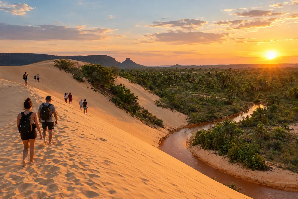
The Jalapão occupies the east, in a region of plateaus, clear-water rivers and few people. Mateiros is home to the orange dunes, the Serra do Espírito Santo and the quilombola community of Mumbuca, the birthplace of capim dourado handicrafts. In São Félix do Tocantins and Mateiros are the fervedouros, spring pools where the water’s pressure prevents the body from sinking. Ponte Alta do Tocantins is one of the gateways to the region, and Novo Acordo has beaches on the Rio Sono. Roads are sand and gravel, and the Rota do Jalapão departs from Palmas in 4x4 vehicles.
The cuisine is rooted in the sertão. Paçoca made with sun-dried beef, rice with pequi, river fish and chambari, a beef-muscle broth with bone, appear at Palmas’ markets and restaurants. During the June festivities, the Arraiá da Capital brings together folk dance groups, and in September the Festa da Colheita do Capim Dourado marks the start of the harvest in the Jalapão.
Destinations
Cities
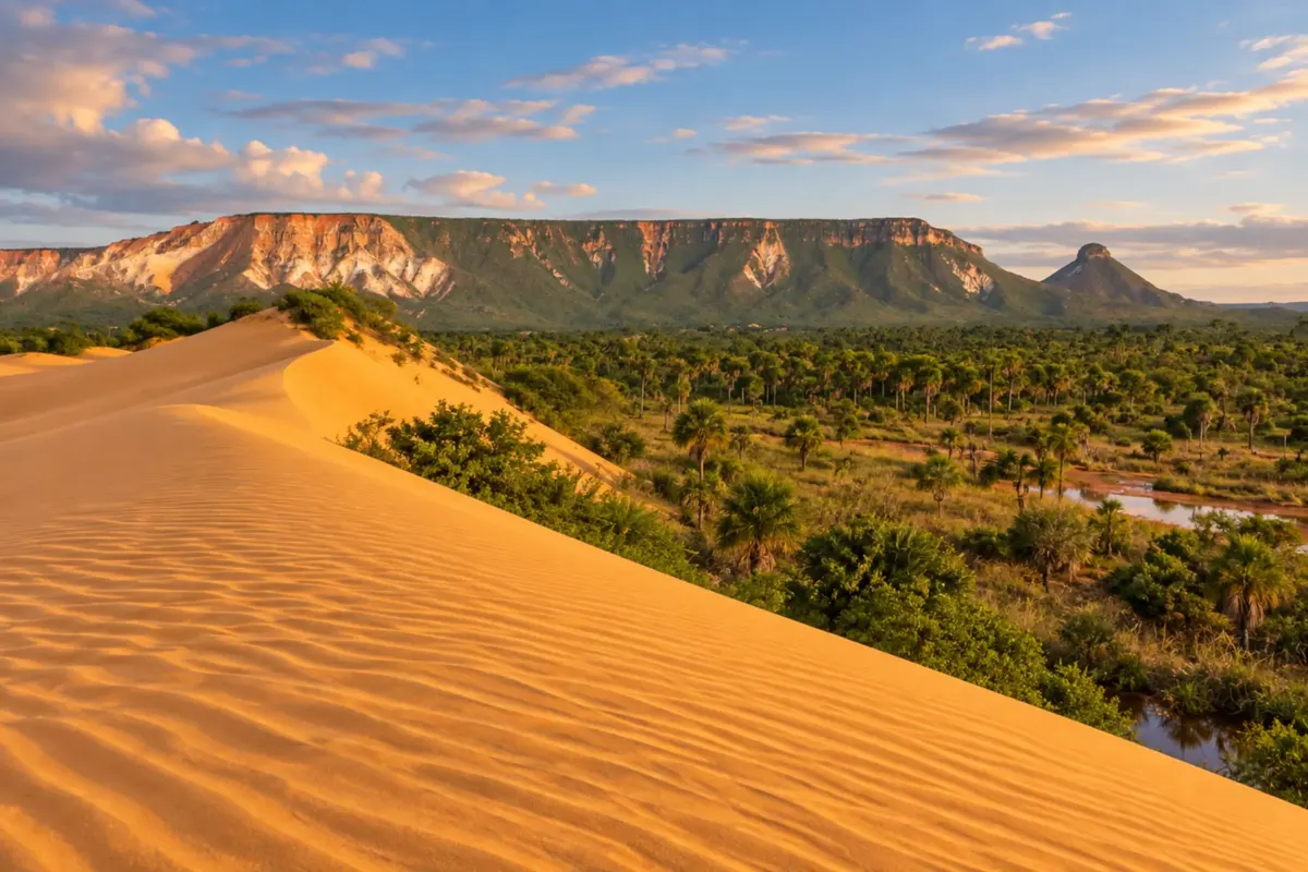
Mateiros brings together dunes, veredas (palm-lined wetlands) and springs in the heart of Jalapão. The Serra do Espírito Santo and the golden grass crafts of the local communities reveal the town's natural and cultural diversity.
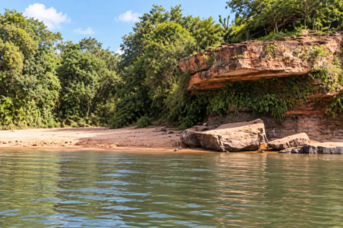
Novo Acordo lies on the routes into Jalapão and has freshwater beaches along the Rio Sono. Praia do Borges and the rock formations surrounded by cerrado show the variety of the local landscapes.
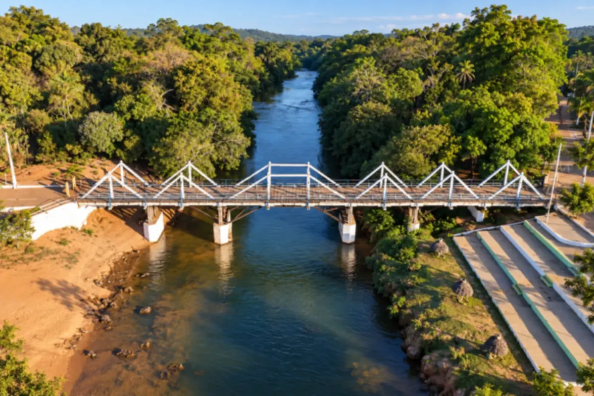
Ponte Alta do Tocantins is one of the gateways to Jalapão, among rivers and cerrado landscapes. The riverfront of the river that gives the town its name and the surrounding rock formations are part of its identity.
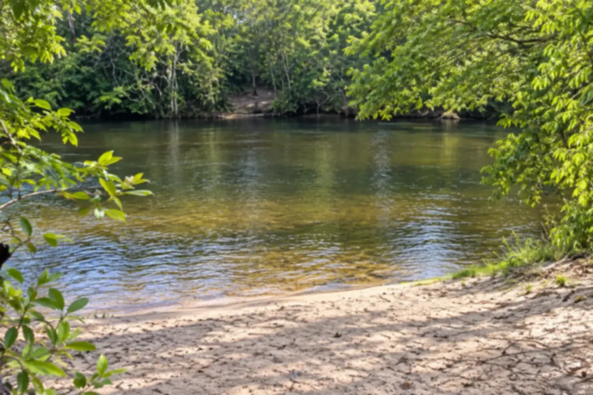
São Félix do Tocantins brings together rivers, freshwater beaches and fervedouros (spring pools where you float) in the Jalapão region. The banks of the Rio Sono and the local communities bring visitors close to the landscapes and culture of the cerrado.
Routes
The year has two clearly marked seasons. In the dry season, from May to September, skies are clear, the Jalapão roads are in better condition and rivers are clearer, with cool nights in the Jalapão and strong heat from August onward. From October or November to April, the rains make sandy stretches and crossings more difficult. July is high season for Palmas’ beaches and the Jalapão. The capim dourado harvest begins on September 20.
Palmas – Brigadeiro Lysias Rodrigues Airport is where almost everyone heading to the Jalapão arrives. BR-153, the Belém-Brasília highway, cuts across Tocantins to the west of Palmas and is connected to the capital by state roads. From Palmas, TO-050 goes south and TO-255 leads to Ponte Alta do Tocantins, one of the entrances to the Jalapão; from there on, much of the roads are sand and require a 4x4 vehicle.
Your questions
It is not recommended. Internal roads have soft sand, ruts and river crossings. Most visitors go with an agency and an accredited 4x4 driver. Those who bring their own 4x4 need experience driving on sand and suitable tires.
Four or five days from Palmas cover the dunes, the Serra do Espírito Santo, Cachoeira da Velha and some fervedouros. With three days the itinerary is rushed, with many hours on the road.
The fervedouros are on private properties and in communities that limit the number of people and the time each group spends in the water. In high season there may be a queue. Do not apply sunscreen or insect repellent before entering, so as not to contaminate the spring.
Yes. Pieces are sold year-round in Mumbuca, in Mateiros and in Palmas. What has a defined season is the capim harvest, which begins on September 20.
Yes. August, September and October are the hottest and driest months. Drink water all day, avoid the midday sun and save the beach for the late afternoon.
Mapa: @svg-maps/brazil, CC BY 4.0
Beyond the guide