

 Antarctica
 Argentina
 Bolivia
 Chile
 Colombia
 Ecuador
 Guyana
 French Guiana
 Falkland Islands (Malvinas)
 Paraguay
 Peru
 Suriname
 Uruguay
 Venezuela
 Germany
 Austria
 Belgium
 Croatia
 Denmark
 Slovakia
 Slovenia
 Spain
 Finland
 France
 Greece
 the Netherlands
 Hungary
 Ireland
 Iceland
 Italy
 Luxembourg
 Norway
 Poland
 Portugal
 the United Kingdom
 the Czech Republic
 Sweden
 Switzerland
 Turkey
 Bermuda
 Canada
 the United States
 Greenland
 Mexico
 Saint Pierre and Miquelon
 the Dominican Republic
 Japan
 South Africa
 Egypt
 Australia
 Fiji
 New Zealand
 Papua New Guinea
State · North
Acre
In the far west of the country, Acre preserves the memory of the rubber plantations and the Acrean Revolution. Rio Branco, on the banks of the rio Acre, is where the journey begins.
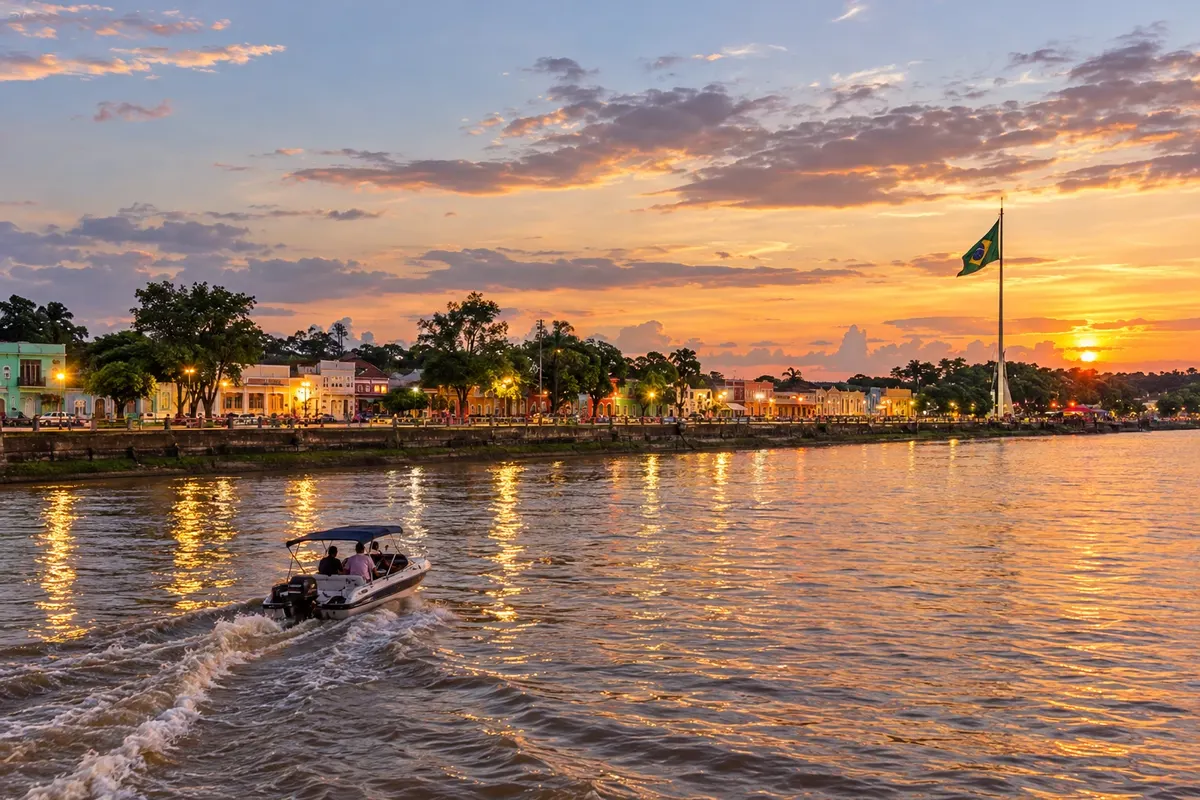
In the photo: Gameleira e Rio Acre, Rio Branco (AC)
Illustrative images. The pictures in this guide are illustrations based on the real place, not photographs, and may differ from it.


The state
Get to know Acre
Acre sits at the western tip of Brazil, on the border with Peru and Bolivia. The forest covers most of the territory, cut by rivers that for a long time were the only roads. The local clock runs two hours behind Brasília, a detail that surprises travelers with tight connections.
Rio Branco grew out of a rubber estate on the banks of the rio Acre at the end of the 19th century. The Gameleira, an old tree by the river, marks that beginning, and the promenade around it links the historic center to the Novo Mercado Velho. The Palácio Rio Branco, the Praça da Revolução and the Museu da Borracha tell of the territorial dispute with Bolivia and the rubber cycle that brought thousands of northeasterners to the rubber plantations.
The memory of the rubber tappers remains alive in the Parque Ambiental Chico Mendes and in the Parque Capitão Ciríaco, which preserves century-old seringueiras in the middle of the city. In rural areas of the eastern part of the state, the geoglyphs—large geometric figures cut into the ground by ancient peoples—are only fully revealed when seen from above.
Acrean cuisine brings together Amazonia, the Northeast and Arab immigration. At breakfast, the baixaria combines corn cuscuz, sautéed ground beef and a fried egg on top. Tacacá, pato no tucupi, tambaqui and quibe de macaxeira appear in markets and restaurants. In June, the junina circuit fills the neighborhoods of the capital with quadrilhas and forró.
When to go
Heat and humidity last year-round. Rains concentrate between November and April, when rivers rise and dirt roads become difficult. The dry season runs from May to September; during that period cold fronts from the south—the 'friagem'—sometimes arrive and drop temperatures for a few days. At the end of the dry season, smoke from fires can worsen the air. June brings the junina festivals, and Expoacre boosts activity in Rio Branco midyear.
How to get there
Flights arrive at Rio Branco International Airport – Plácido de Castro, in the capital itself. By road, BR-364 connects Rio Branco to Porto Velho in Rondônia and continues west to Cruzeiro do Sul in the Vale do Juruá. BR-317, known as the Estrada do Pacífico, leads to Assis Brasil on the border with Peru, from where the highway continues on the Peruvian side. Upon arrival, set your watch: the local time zone is two hours behind Brasília.
Your questions
Frequently asked questions about Acre
What is the time difference between Acre and Brasília?
It is two hours behind year-round. On trips with connections, check each segment of your ticket against the time zone of the departure city so you don’t miss your flight.
What is the baixaria that appears in Rio Branco cafés?
It's the typical Acre breakfast: corn cuscuz topped with sautéed ground beef and a fried egg, sometimes with scallions and hot pepper. It's served in cafés and at the capital's markets early in the morning.
Can you see the geoglyphs starting from Rio Branco?
There are geoglyphs in rural areas near the capital, but many are on private property and are only clearly visible from above. Before you go, check with the tourism office to find out which sites accept visitors and prefer the dry season, when unpaved access roads are passable.
Is it possible to travel from Acre to Peru by road?
Yes. BR-317 runs from Rio Branco to Assis Brasil at the tripoint with Peru and Bolivia. On the other side, in Iñapari, the Interoceanic Highway continues to Puerto Maldonado and Cusco. Bring a document accepted for entry into Peru and complete immigration formalities at the border.
How many days should you allocate for Rio Branco?
Two or three days are enough for the historic center, markets, parks and museums, with some allowance for the downpours of the wet season.
Mapa: @svg-maps/brazil, CC BY 4.0
Beyond the guide


