17 cities

 Search
Brazil
 Antarctica
 Argentina
 Bolivia
 Chile
 Colombia
 Ecuador
 Guyana
 French Guiana
 Falkland Islands (Malvinas)
 Paraguay
 Peru
 Suriname
 Uruguay
 Venezuela
 Germany
 Austria
 Belgium
 Croatia
 Denmark
 Slovakia
 Slovenia
 Spain
 Finland
 France
 Greece
 the Netherlands
 Hungary
 Ireland
 Iceland
 Italy
 Luxembourg
 Norway
 Poland
 Portugal
 the United Kingdom
 the Czech Republic
 Sweden
 Switzerland
 Turkey
 Bermuda
 Canada
 the United States
 Greenland
 Mexico
 Saint Pierre and Miquelon
 the Dominican Republic
 JapanTurkey
 South Africa
 Egypt
 Australia
 Fiji
 New Zealand
 Papua New Guinea
State · Northeast
In Bahia, each stretch of coastline has its own name and the interior holds the mountains and caves of the Chapada Diamantina. Salvador sits in the middle, facing the Baía de Todos os Santos.
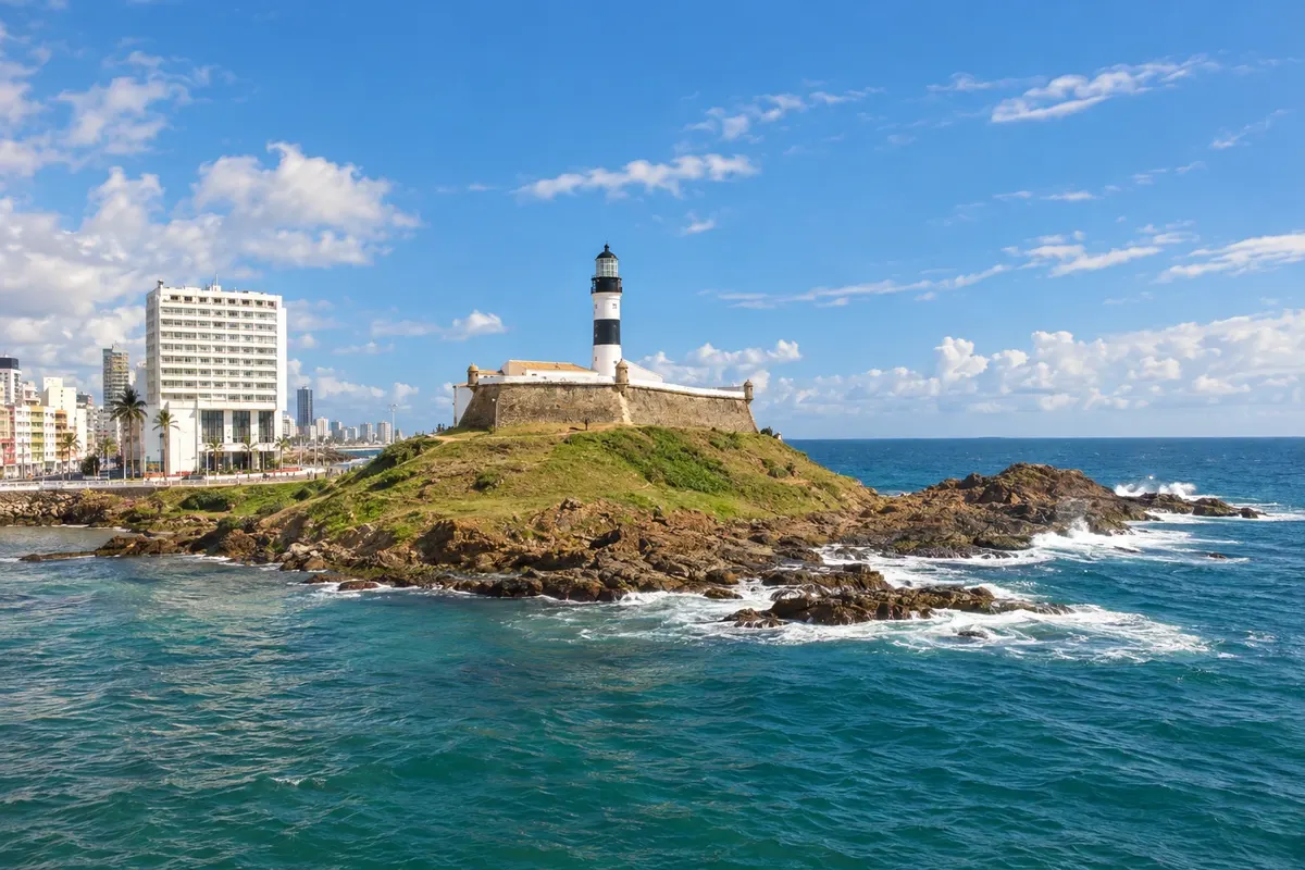
In the photo: Farol da Barra and Forte de Santo Antônio da Barra, Salvador (BA)
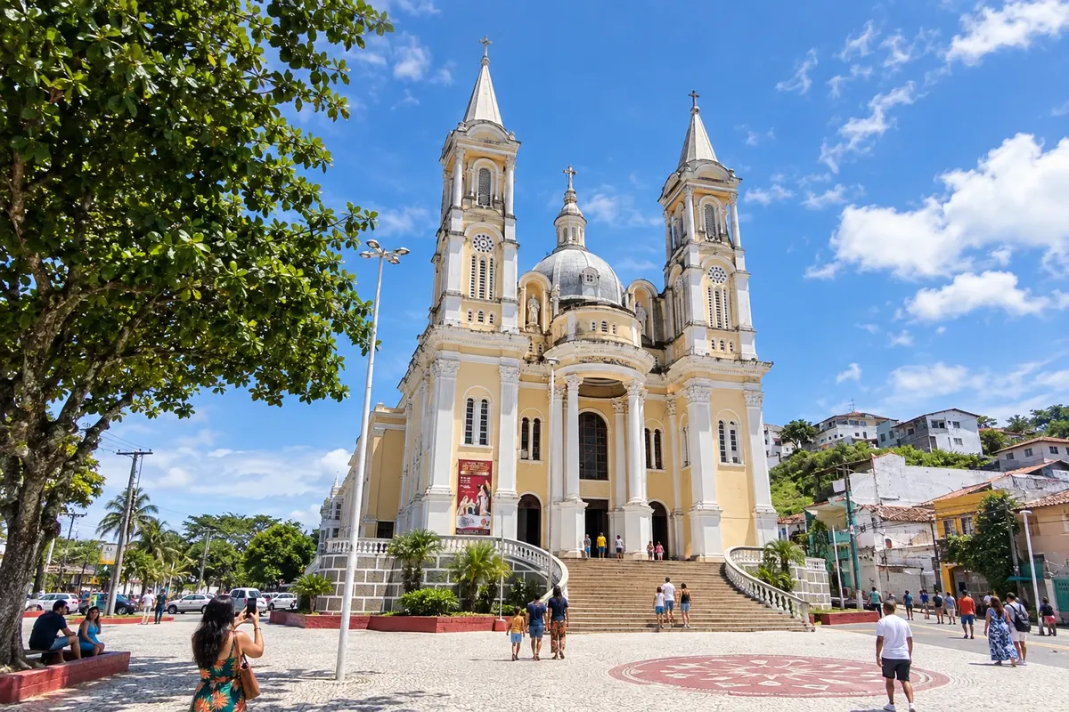
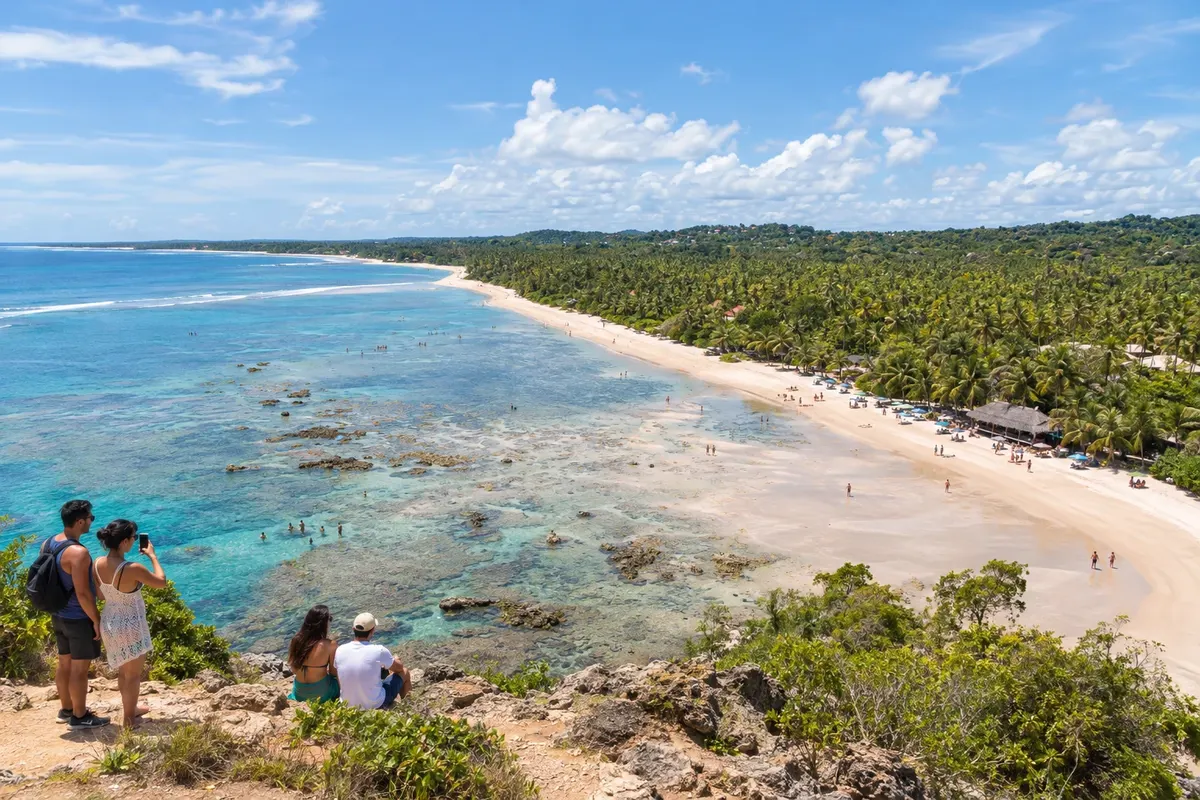
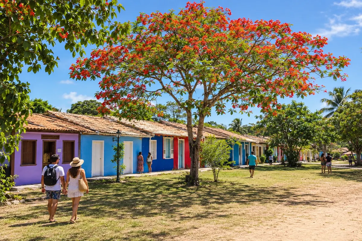
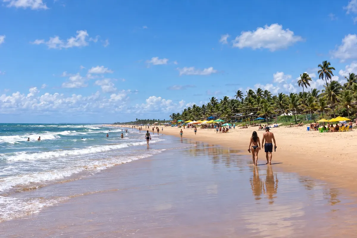
Illustrative images. The pictures in this guide are illustrations based on the real place, not photographs, and may differ from it.
The state
Salvador was Brazil's first capital. In the Pelourinho, a World Heritage site, baroque churches and colorful sobrados fill the Cidade Alta, connected to the Cidade Baixa by the Elevador Lacerda. Below are the Mercado Modelo and the boat terminal to the bay's islands. On the waterfront, the Farol da Barra marks the bay entrance, and the beaches continue through Ondina, Rio Vermelho and Itapuã.
Afro-Brazilian culture is everywhere: in the terreiros of candomblé, in capoeira, in the blocos afro and in the food. The craft of the baianas de acarajé is registered as intangible heritage of Brazil, and the tabuleiro appears on almost every corner, with abará, vatapá and caruru. Moqueca baiana and cocada round out the table. The year of festivities begins with the Lavagem do Bonfim in January, passes through the festival of Iemanjá in Rio Vermelho and reaches the street Carnival.
North of the capital, the Costa dos Coqueiros follows the Estrada do Coco and the Linha Verde. In Mata de São João is Praia do Forte, a pedestrian village with the base of Projeto Tamar and the ruins of Castelo Garcia d'Ávila; Imbassaí and Sauípe, in the same municipality, have rivers meeting the sea and resorts facing the beach.
To the south, the Costa do Dendê includes in Cairu a municipality made up of islands. Morro de São Paulo, on Tinharé, brings together pousadas and numbered beaches; Boipeba is quieter, with Moreré and Boca da Barra. The Costa do Cacau follows. Itacaré attracts surfers and has trails to beaches surrounded by mata, Maraú occupies a peninsula of natural pools and a calm bay, and Ilhéus preserves the memory of the cocoa plantations and the novels of Jorge Amado.
Further south, the Costa do Descobrimento includes Porto Seguro, where Cabral's fleet landed in 1500. The Cidade Histórica sits on the hill, and on the other side of the Rio Buranhém, by ferry, are Arraial d'Ajuda and Trancoso, with the Quadrado and its little houses around the church.
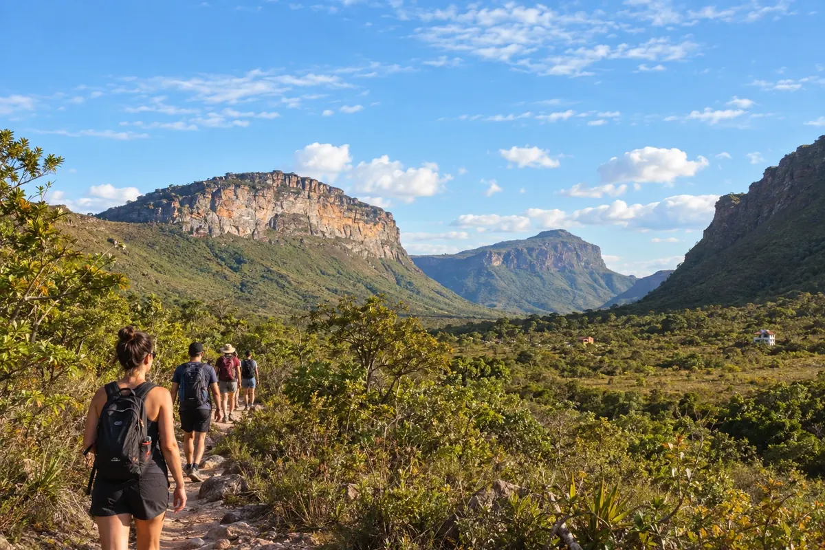
In the center of the state, the Chapada Diamantina is another world. Lençóis, a former diamond-mining town, is the most used base and gives access to the Parque Nacional da Chapada Diamantina. In Palmeiras are the Vale do Capão and the Morro do Pai Inácio. Iraquara and Nova Redenção are lands of caves and blue-water pools, Mucugê and Andaraí preserve 19th-century architecture, and Ibicoara and Itaetê, in the south, lead to Buracão and the Poço Encantado. In the highlands people eat godó of green banana with carne de sol.
Destinations
Cities
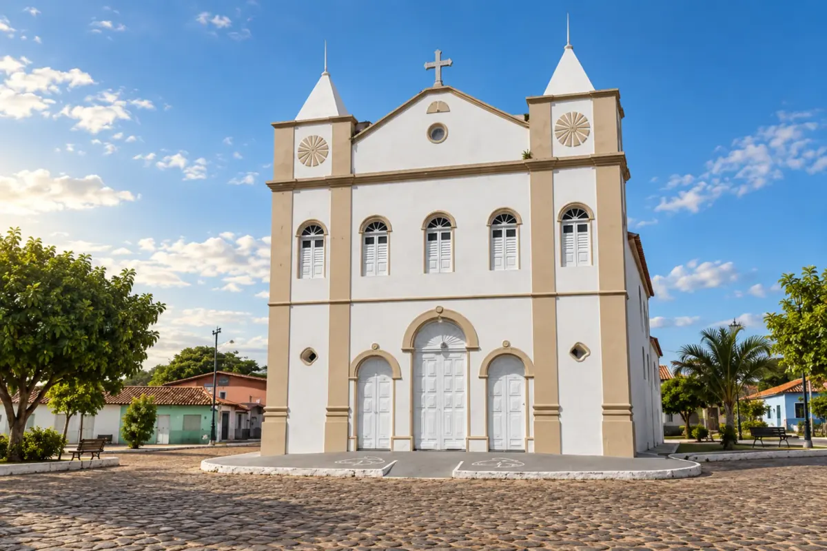
Andaraí keeps historic houses and memories of diamond mining among the mountains of Chapada Diamantina. Walks around the center can be combined with trails, rivers and valley scenery in the area.
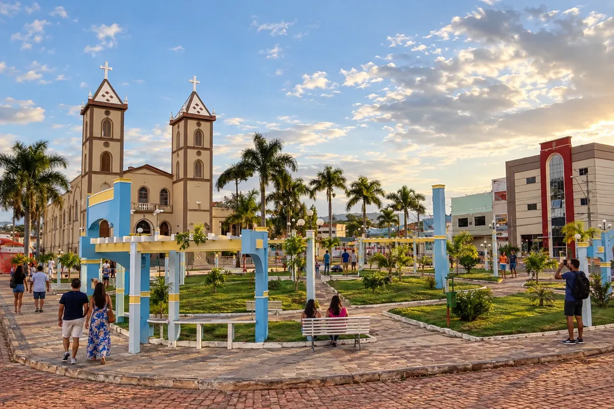
Barra da Estiva occupies an elevated section of the Serra do Sincorá, with coffee cultivation and landscapes linked to the Serra do Cocal. Morro Santa Bárbara is one of the municipality's landmarks. In the Circuito do Diamante, the town connects the Ibicoara and Ituaçu corridors along the BA-142 axis.
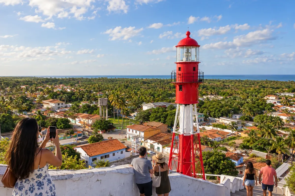
Belmonte lies beside the mouth of the Rio Jequitinhonha and preserves a collection of historic houses associated with the cocoa cycle. The lighthouse in the center and the beaches along the coastal strip show different faces of the municipality. The route to the south uses the BA-001, crossing the landscape between the estuary and the rural settlements.
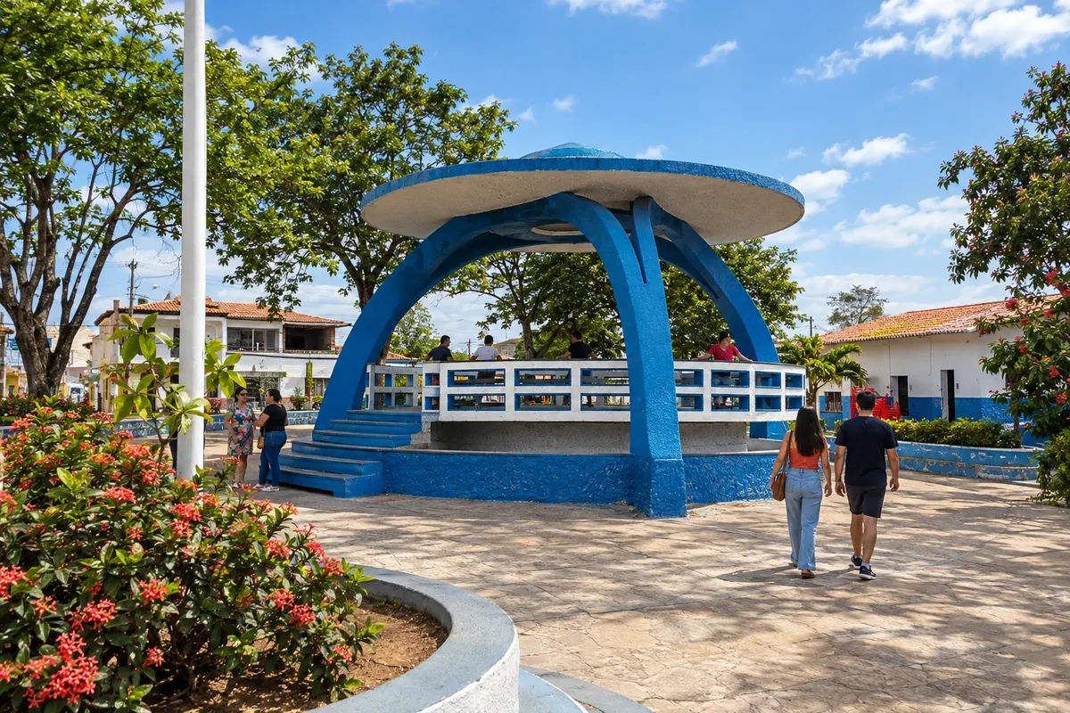
Boa Vista do Tupim has a formation linked to the former territory of Itaberaba and an extensive rural landscape on the eastern side of the Chapada. Settlements and communities of the municipality participate in the Caminho Diamantino de Santa Dulce dos Pobres. In the Circuito do Diamante, the municipal seat connects as a branch of BR-242 via BA-130.
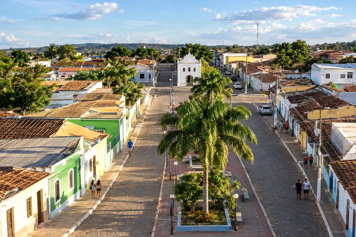
Boninal's name is associated with the bonina flower and its formation was marked by former settlements along the mining routes. Nova Colina is part of its territory, while the BA-148 links the municipal seat to the accesses to Seabra. On the Circuito do Diamante, the municipality appears as a spur on the west side, between rural areas and the plateaus of the Chapada.
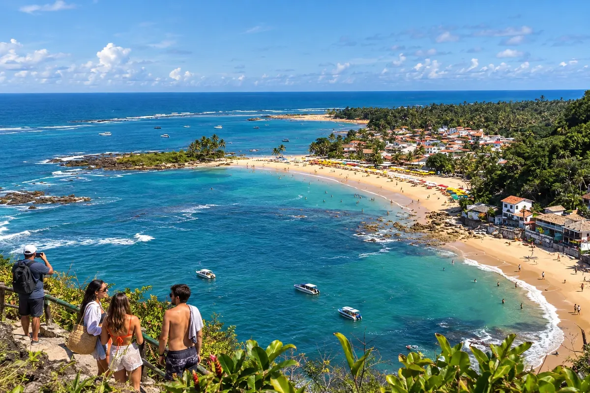
Cairu is an island municipality that includes Morro de São Paulo and Boipeba. In Tinharé, Segunda Praia and Quarta Praia offer different seaside routes; in Boipeba, Boca da Barra and Moreré invite you to discover the islands' landscape. Choose your base carefully, as the crossings are part of the trip.
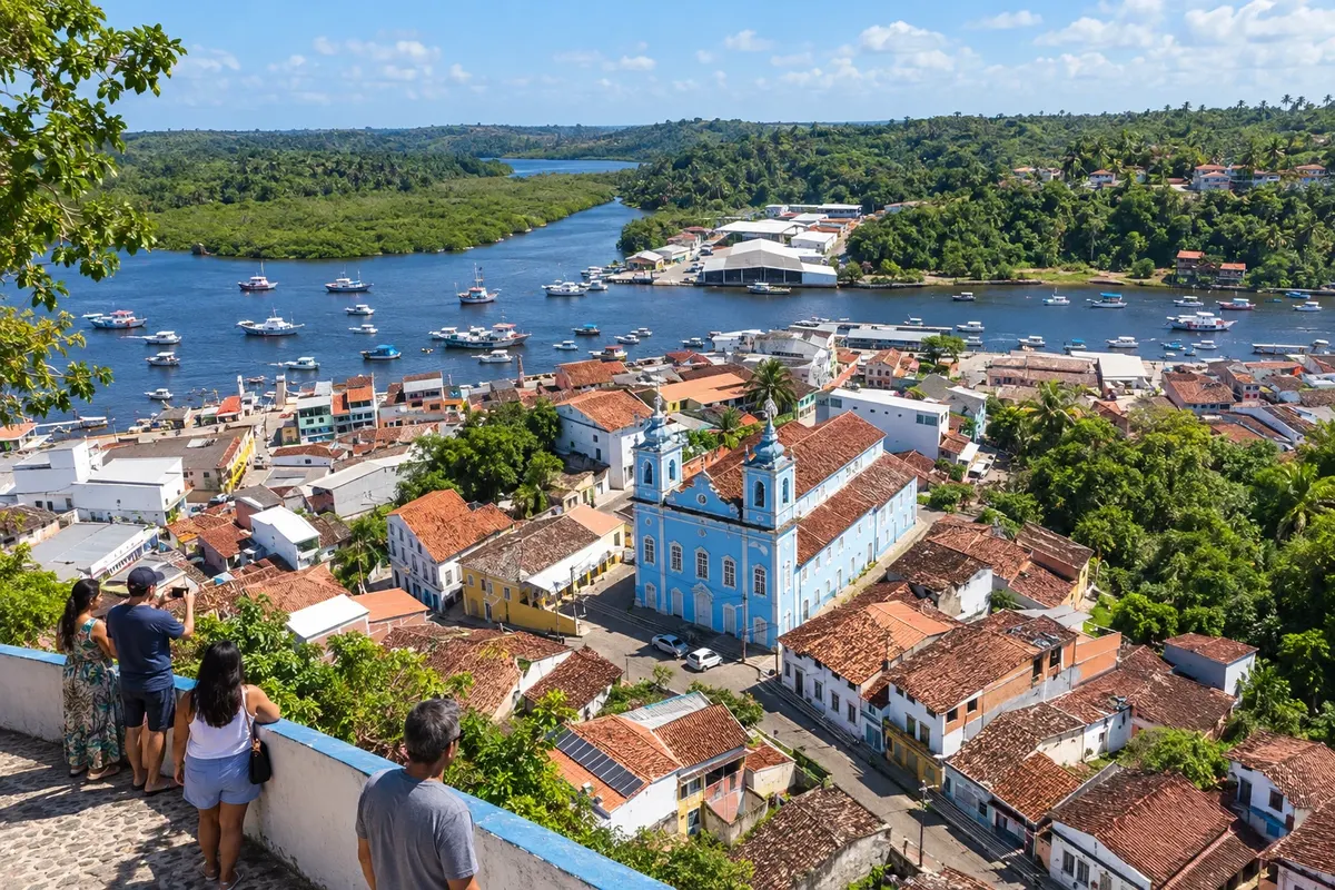
Camamu preserves a historic core spread between the upper town and the city's port area. Its bay includes islands and communities accessible by boat, with routes different from the road that runs along the mainland.
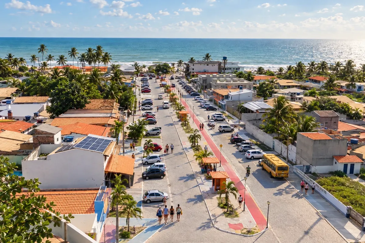
Conde brings together four coastal localities with individually named beaches: Barra do Itariri, Sítio do Conde, Poças and Siribinha. In the latter, the estuary of the Rio Itapicuru is part of the landscape; Poças maintains a community tied to fishing. Accesses from the Linha Verde lead to different points along this coast.
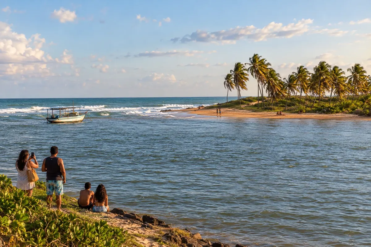
Entre Rios has its coastline spread between Porto de Sauípe, Massarandupió and Subaúma. The meeting of the Rio Sauípe with the sea and the piaçava straw crafts are part of Porto de Sauípe; in Subaúma, the reefs appear according to the tide. The Linha Verde provides access to these villages, which are separate from the municipal seat.
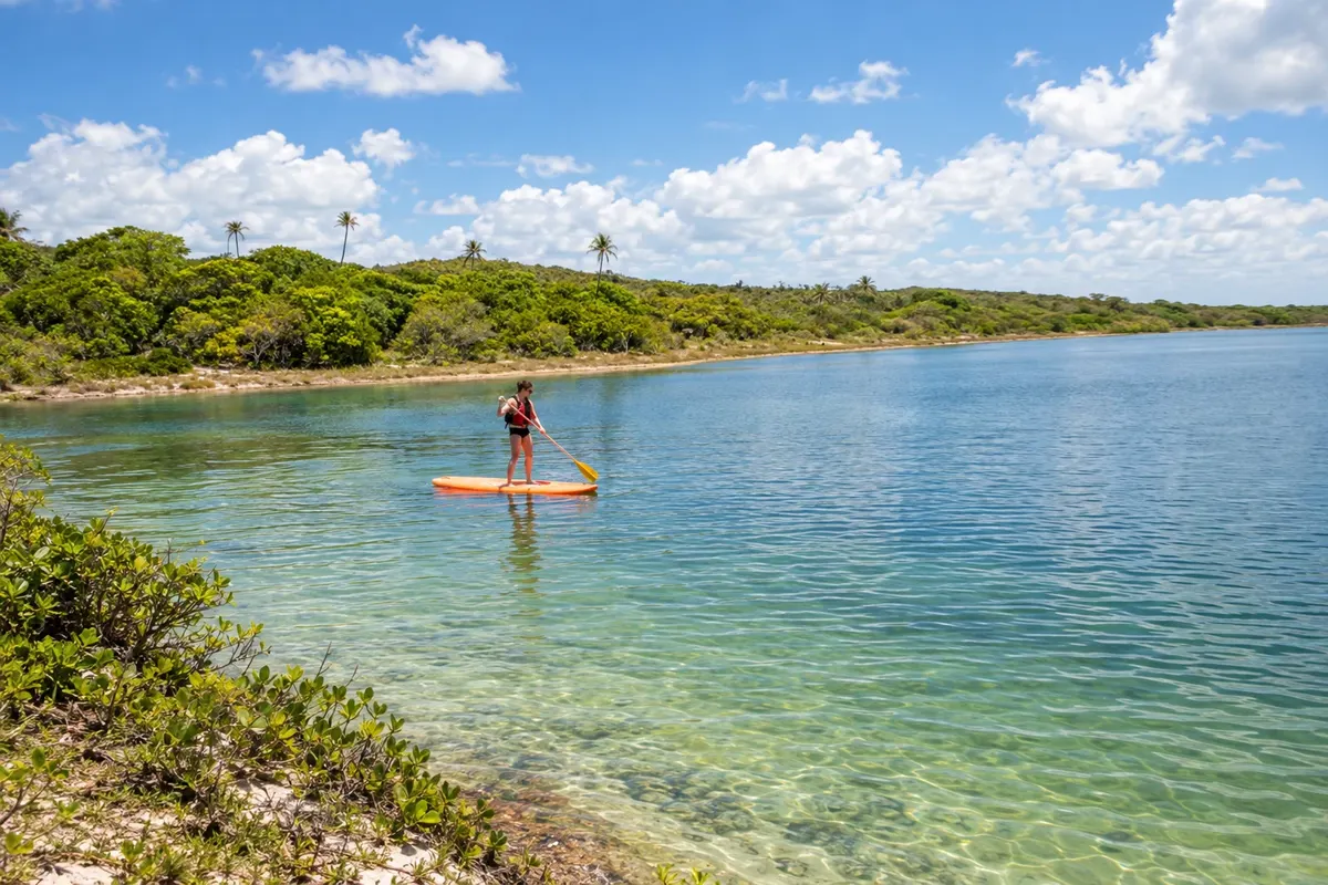
Esplanada reaches the sea via the district of Baixio, where the beach and Lagoa Azul concentrate visits to the coastal landscape. The Barra do Rio Inhambupe adds another meeting-of-waters scene. In this itinerary, entry into the municipality occurs from the coast, with a turn off the BA-099 toward Baixio, and not via the inland seat.
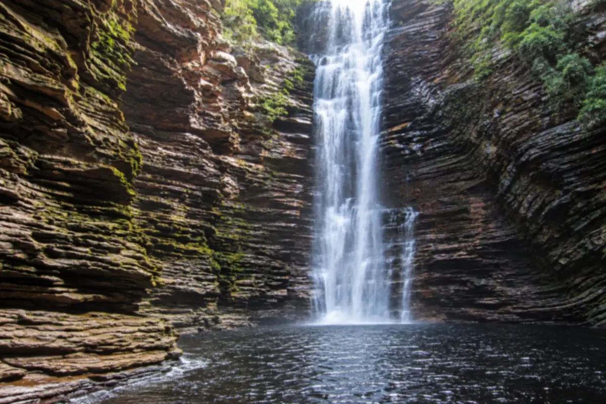
Ibicoara brings together waterfalls and canyons in the southern part of Chapada Diamantina. Trails along rivers and cliffs lead to sights such as Buracão, in a region also shaped by farming and mountains.
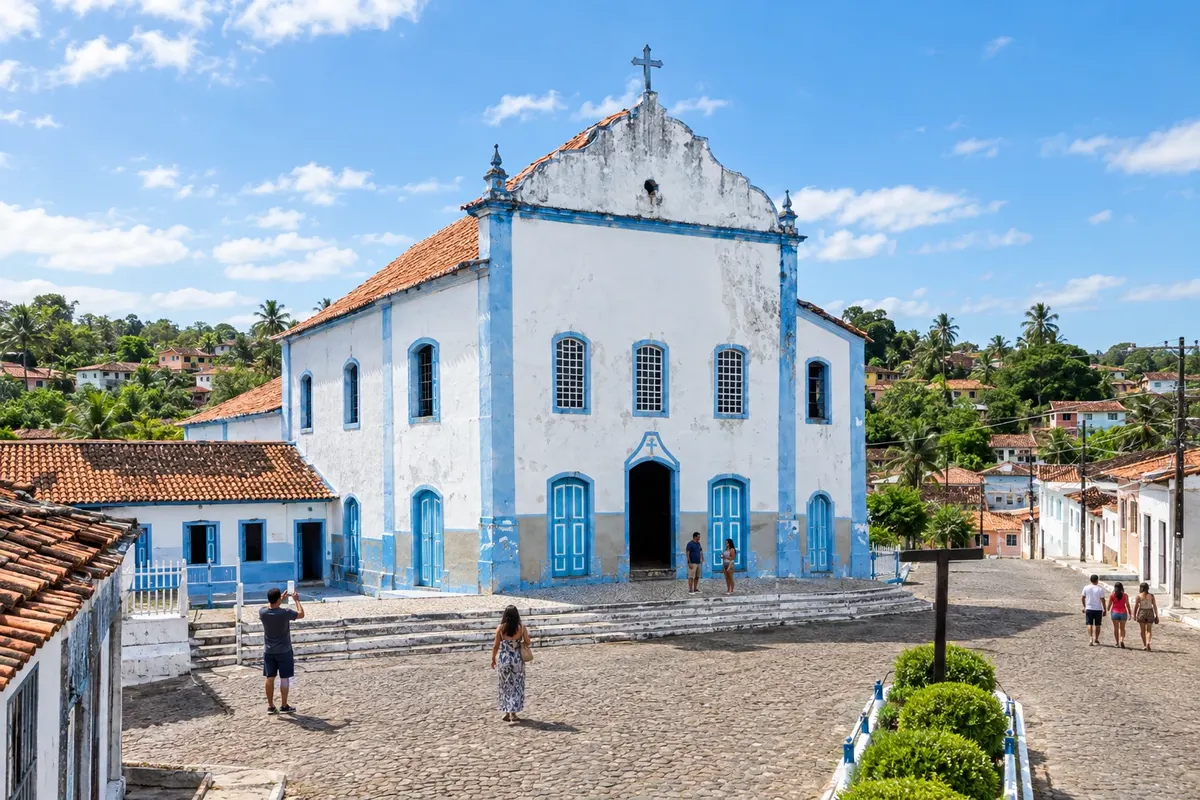
Igrapiúna has its origins tied to the settlement of Nossa Senhora das Dores and the agricultural production of the Baixo Sul. On the Ilha da Amba, community tourism initiatives bring visitors closer to the estuary way of life, subject to arrangements with those responsible.
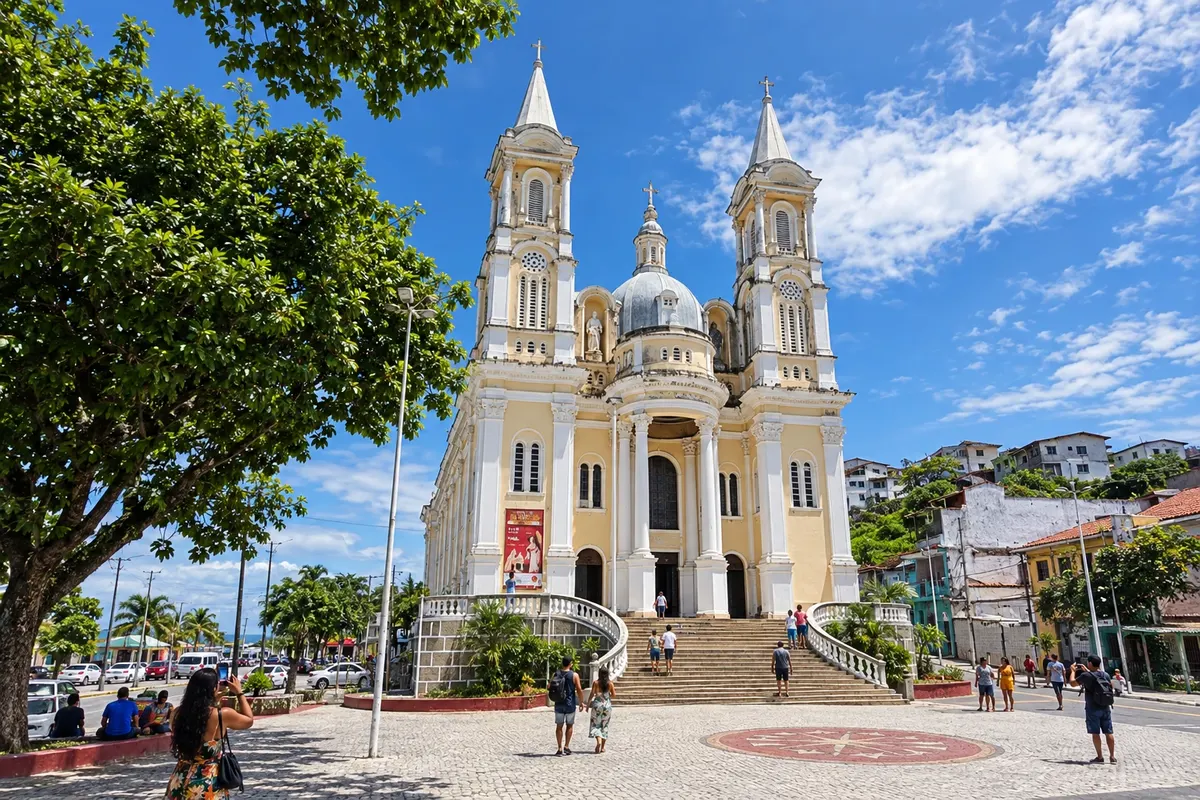
Ilhéus brings beaches, historic houses and the literary memory of Jorge Amado closer. The center gathers the Catedral de São Sebastião and the Casa de Cultura Jorge Amado, while the Praia dos Milionários and the Baía do Pontal broaden coastal outings. Alternate culture and sea to discover different landscapes.
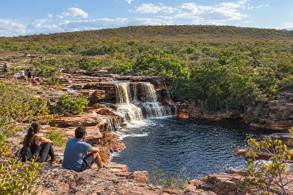
Iramaia includes the village of Raposa, waterfalls and traces of rural settlement of the Chapada. The Cachoeira das Andorinhas features reddish rocks and is accessed via the municipality's territory; the Rio Una environment is part of local tours. The municipal seat is on the eastern side of the Circuito do Diamante, with different access points than the highland bases of Mucugê and Ibicoara.
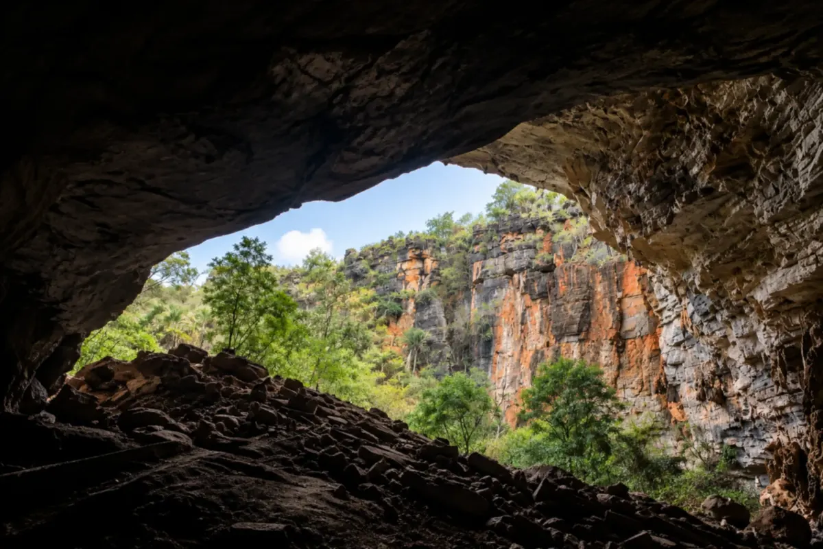
Iraquara is known for the caves that reveal the limestone underground of Chapada Diamantina. Gruta da Lapa Doce and other formations in the area bring travelers close to chambers, rocks and underground landscapes.
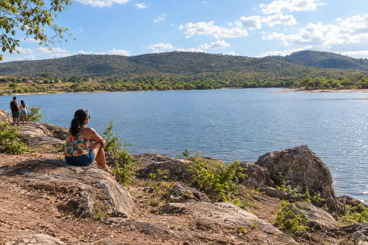
Itaberaba formed at a crossroads in the interior of Bahia and is known for pineapple production. The Pedra de Itaberaba gave the municipality its name, and the Parque Ecológico Juracy Magalhães adds a waterscape to the urban area. The town is the eastern gateway to the Circuito do Diamante, along the BR-242 corridor.
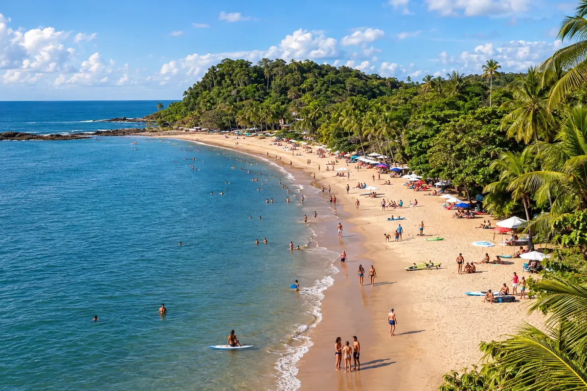
Itacaré combines beaches, Mata Atlântica and walks through the town center. Concha, Tiririca and Resende allow starting with the beaches near the urban area; Itacarezinho expands the route along the coast. Allow time for travel, watch the sea and choose each outing according to the pace of your trip.
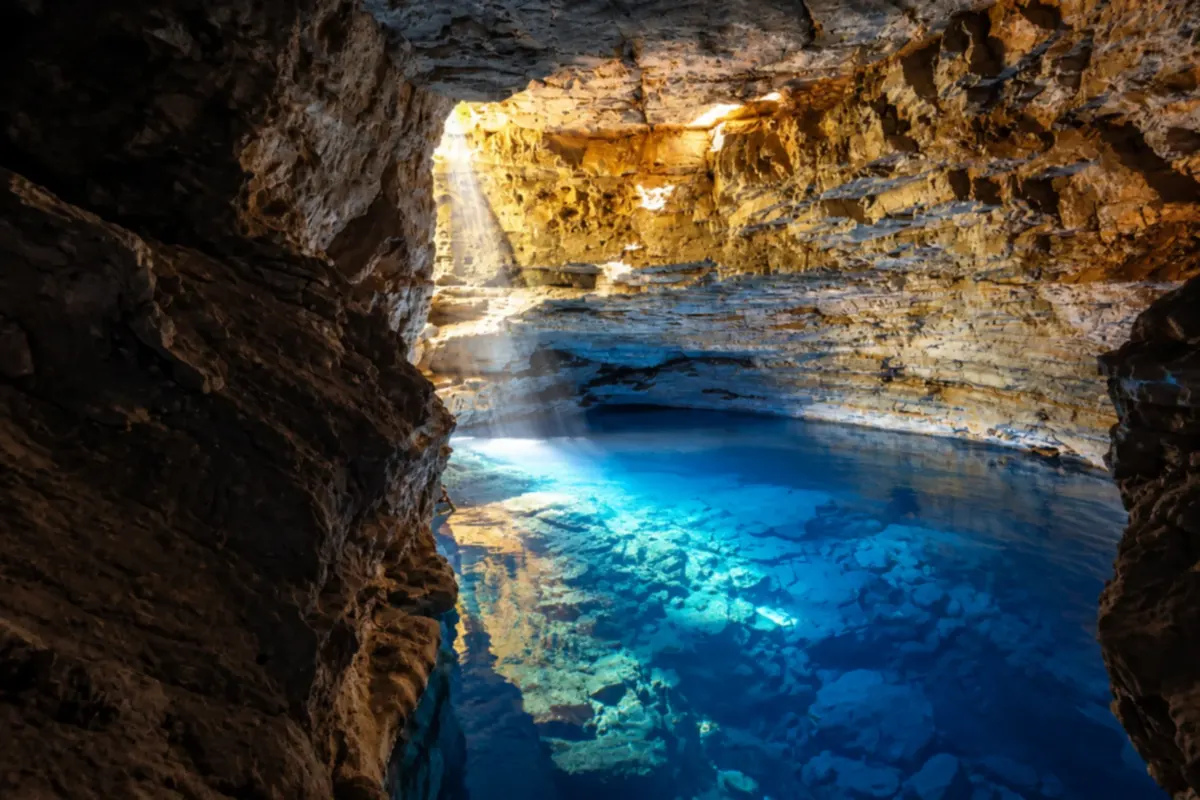
Itaetê is home to Poço Encantado, a lake of clear water inside a cave in Chapada Diamantina. Rivers, waterfalls and rural communities round out the landscapes you can explore in the area.
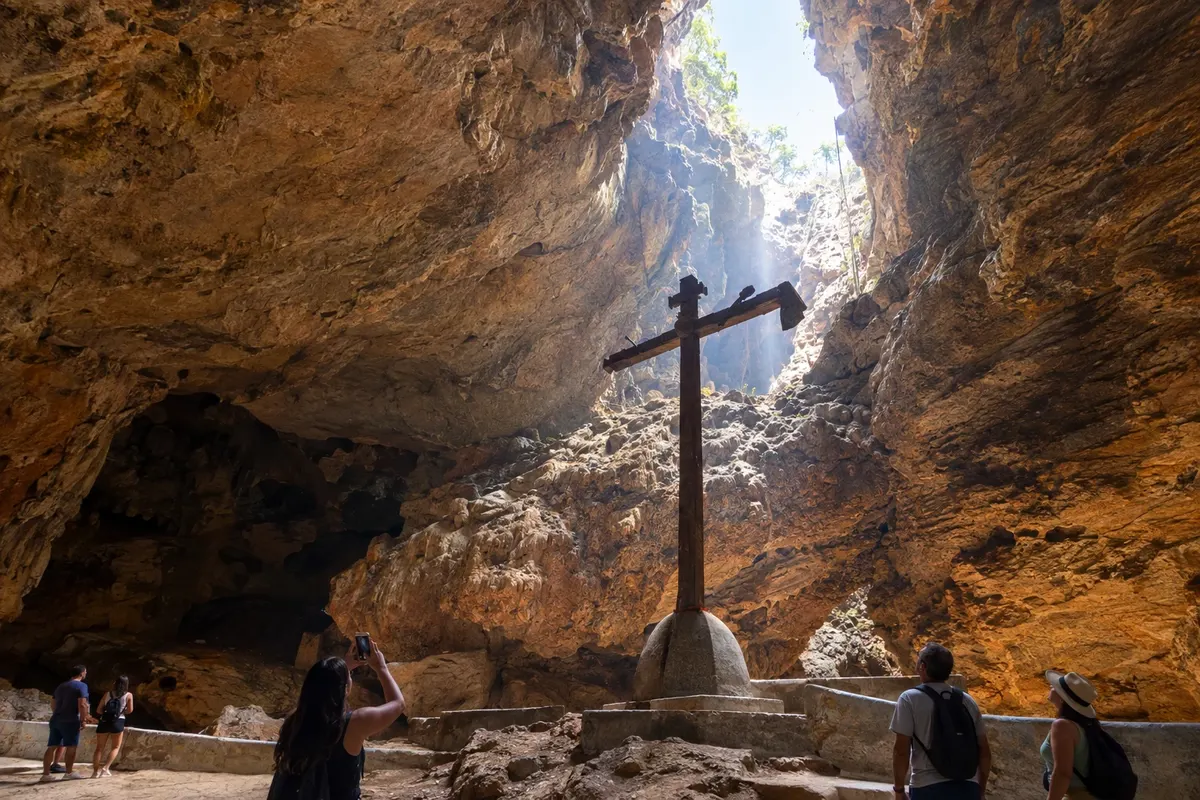
Ituaçu is located in a valley surrounded by limestone formations on the southern edge of the Chapada. The Gruta da Mangabeira combines underground scenery with a tradition of pilgrimage, while the Rio Mato Grosso is part of the municipality's geography. The stop links the BA-142 axis to the eastern routes of the Circuito do Diamante.
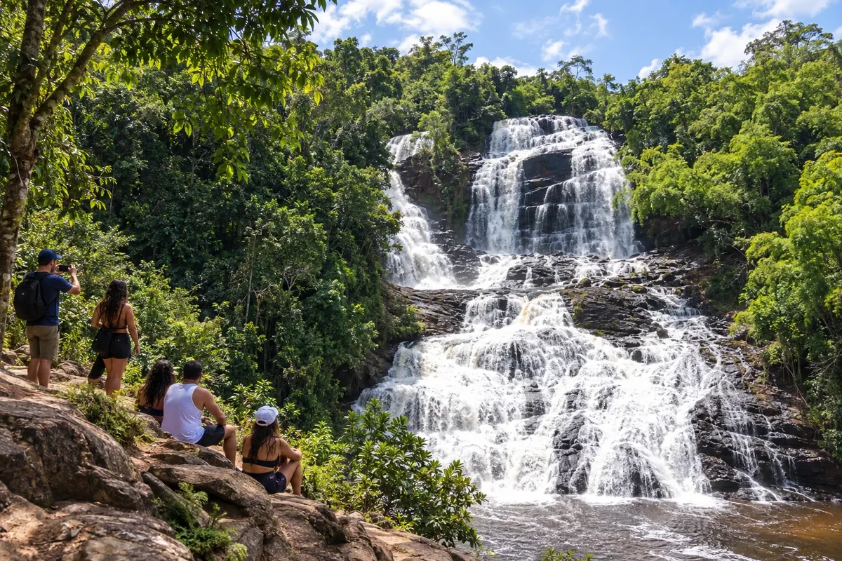
Ituberá was once known as Santarém and developed along the system of rivers and channels of the Serinhaém. Cachoeira da Pancada Grande, Praia de Pratigi and Barra de Serinhaém show the diversity of landscapes within the municipality.
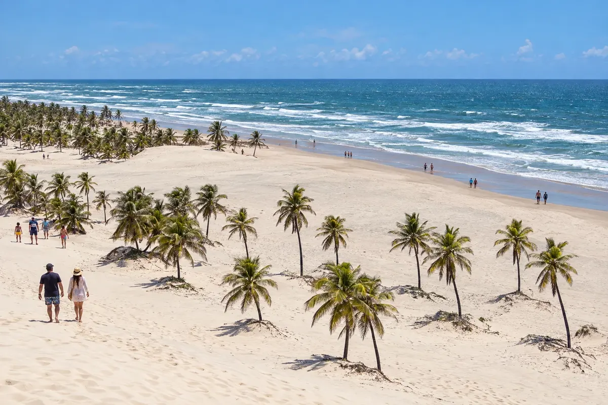
Jandaíra is home to Mangue Seco, a fishing village associated with the novel Tieta do Agreste by Jorge Amado, situated among dunes and the estuary of the Rio Real. The beaches of Costa Azul and Coqueiro also belong to the municipality. The final stage requires local access to the settlement: the BA-099 does not end inside the village of Mangue Seco.
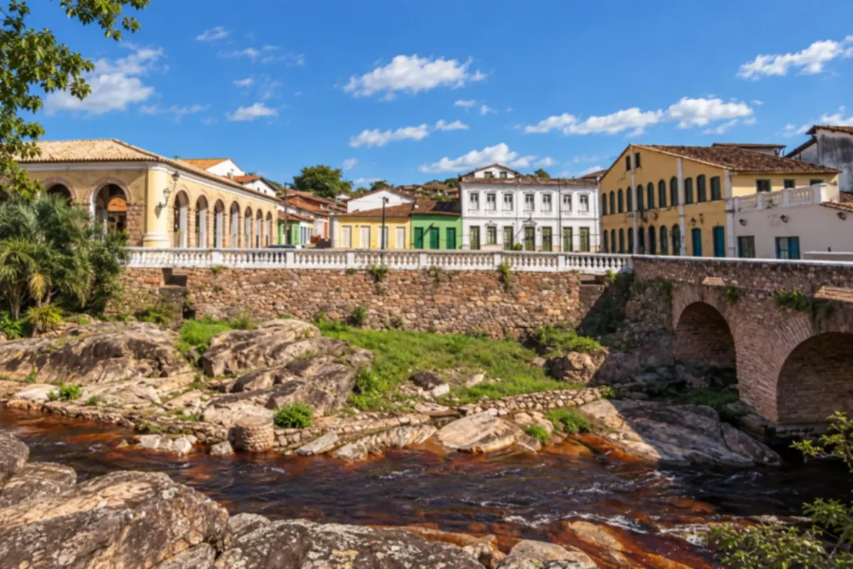
Lençóis preserves stone streets and houses tied to the history of diamond mining in Chapada Diamantina. The historic center and the paths to rivers and waterfalls combine heritage and nature in the same trip.
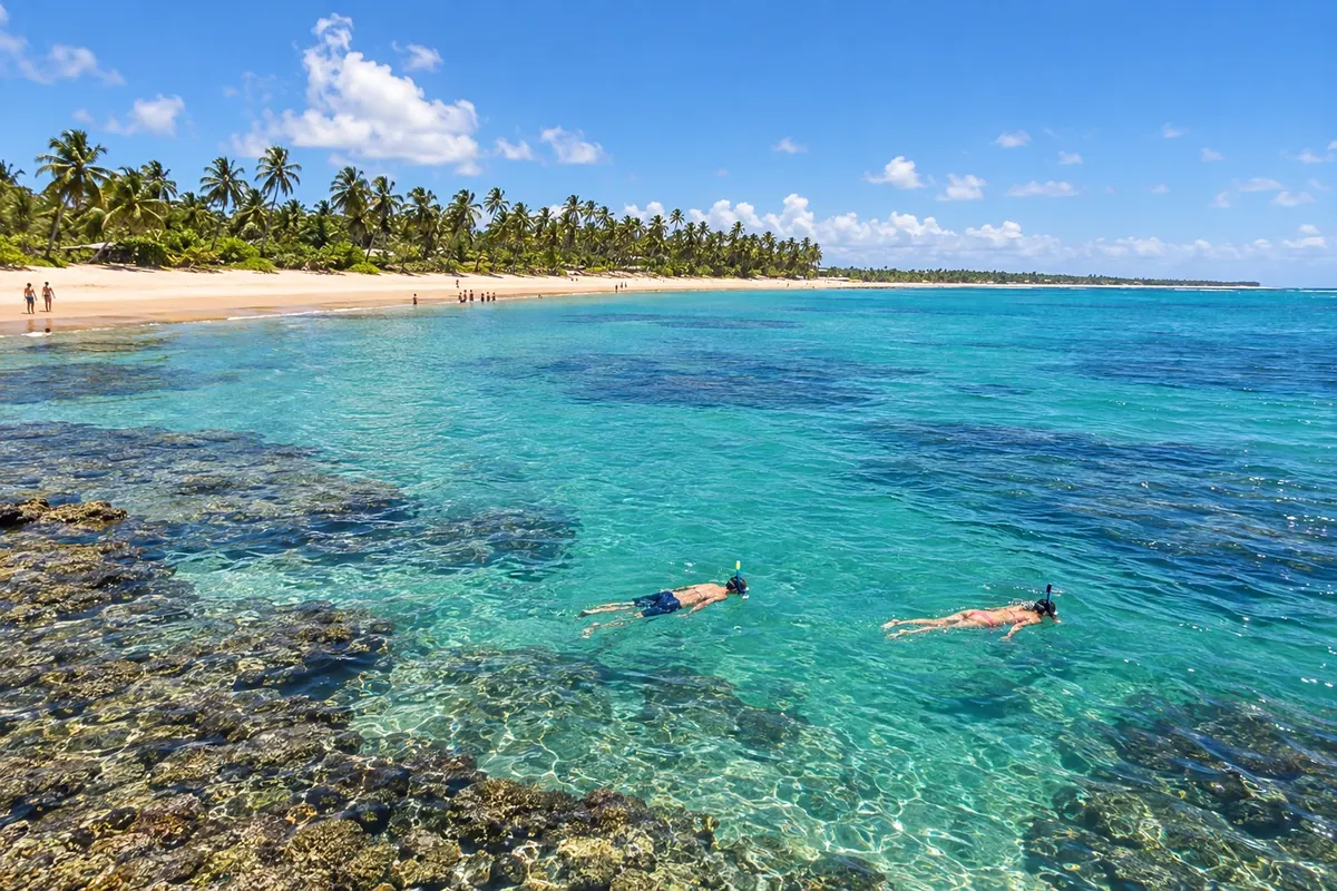
Maraú brings together beaches and villages on the peninsula, with Barra Grande as one of the visiting bases. Taipu de Fora stands out for its reef scenery, while Algodões and Cassange expand the coastal itinerary. Choosing accommodation and transport helps organize travel between the localities.
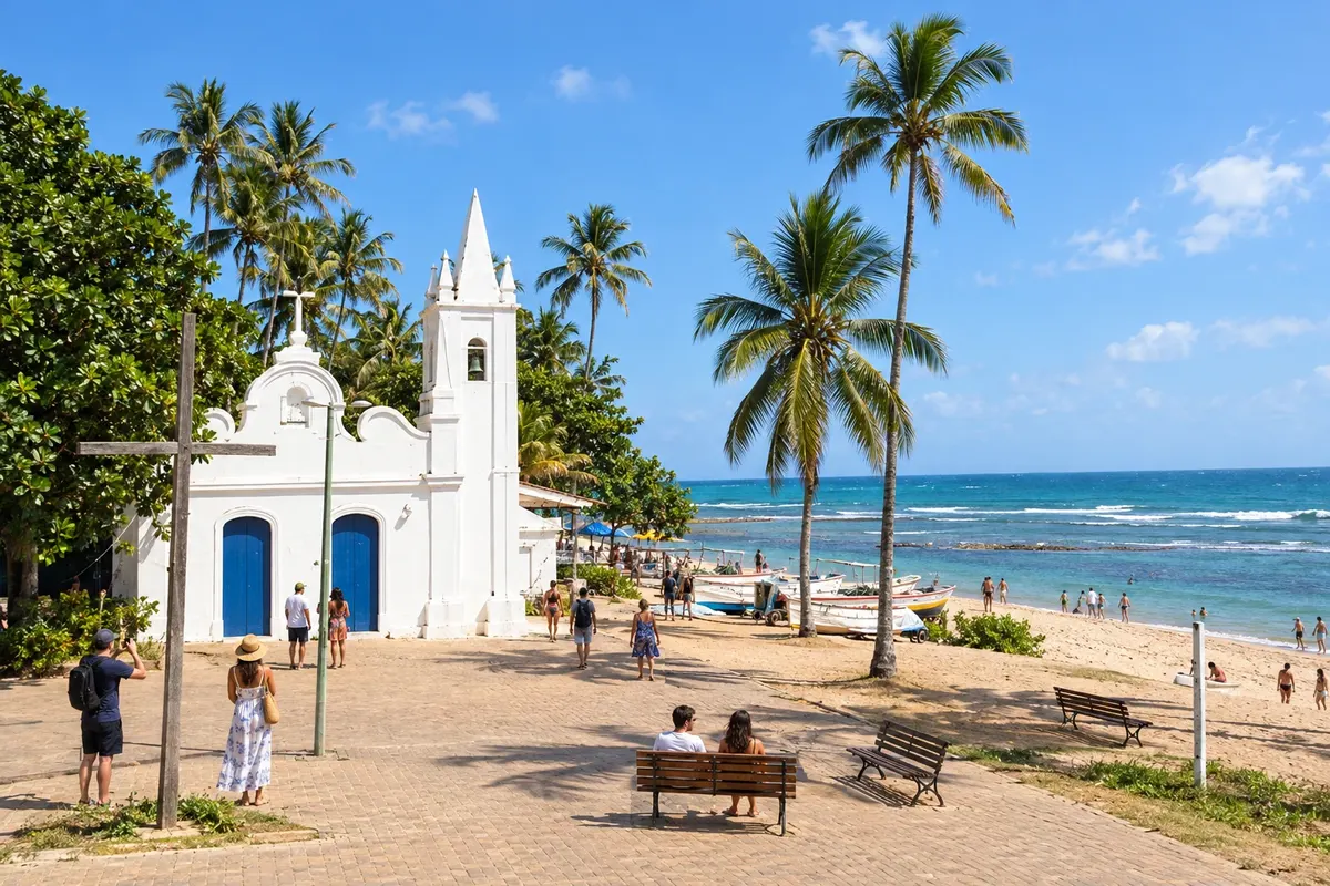
Mata de São João brings together Praia do Forte, Imbassaí and historic heritage on the Costa dos Coqueiros. The village and the beach allow walks on foot, Castelo Garcia d’Ávila adds a cultural visit and the meeting of the river and the sea shapes the landscape of Imbassaí. Choose your base according to your tours.
Mucugê preserves historic houses and traces of the diamond era at the foot of Serra do Sincorá. The Byzantine Cemetery, the stone streets and outings to rivers and trails reveal the town's identity.
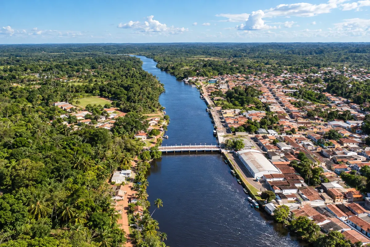
The Rio das Almas is connected to the landscape of Nilo Peçanha, while Barra dos Carvalhos maintains its relationship with fishing and the coast. The municipal seat and the estuary communities offer different perspectives of the municipality.
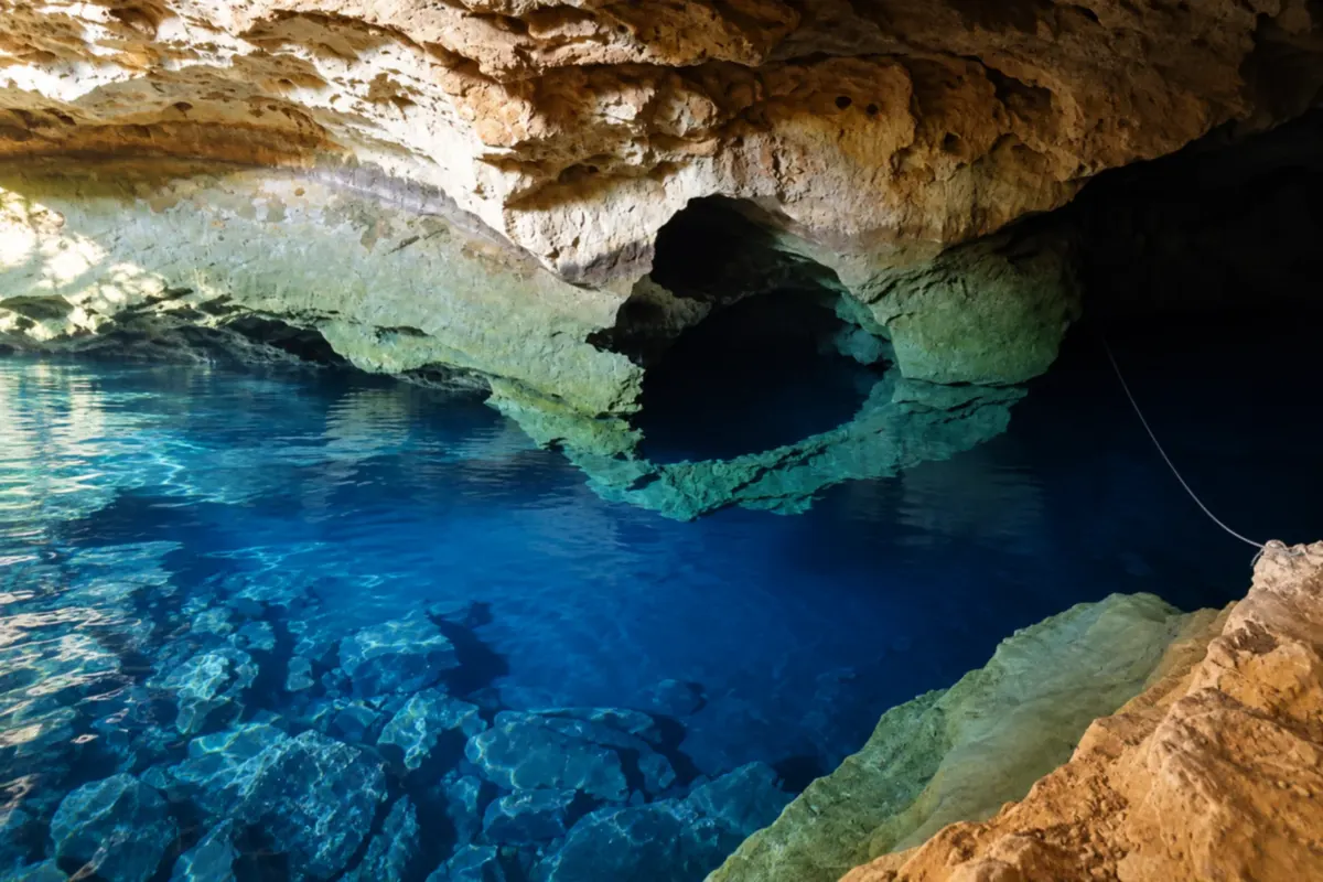
Nova Redenção has, in Poço Azul, one of the best-known sights in Chapada Diamantina. The cave's clear water and the scenery of the Paraguaçu River bring visitors close to the local nature.
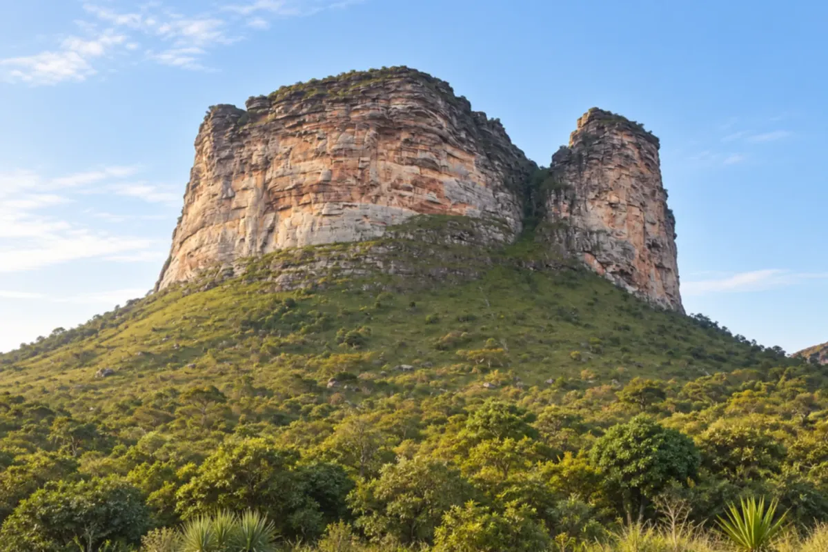
Palmeiras brings together valleys and rock formations that define the landscape of Chapada Diamantina. Morro do Pai Inácio and Vale do Capão are the starting points for exploring the region's viewpoints, trails and waterfalls.
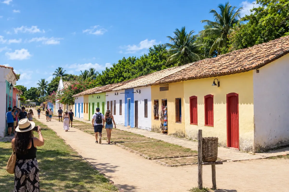
Porto Seguro brings together the historic center of the Cidade Alta, the Passarela da Cultura and districts with distinct personalities. Arraial d’Ajuda combines beach and promenading streets, while the Quadrado de Trancoso brings together colonial houses, the church and the coastal scenery. Organize the trip by areas to make the most of each stop.
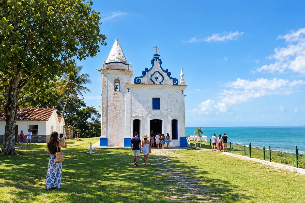
Santa Cruz Cabrália brings together Cidade Alta, with the Igreja de Nossa Senhora da Conceição and the old Casa de Câmara e Cadeia, and Coroa Vermelha, linked to the memory of the first mass and the Pataxó presence. The Rio João de Tiba separates the town center from the beaches of Santo André. The heritage and the waterfront require their own travel within the municipality.
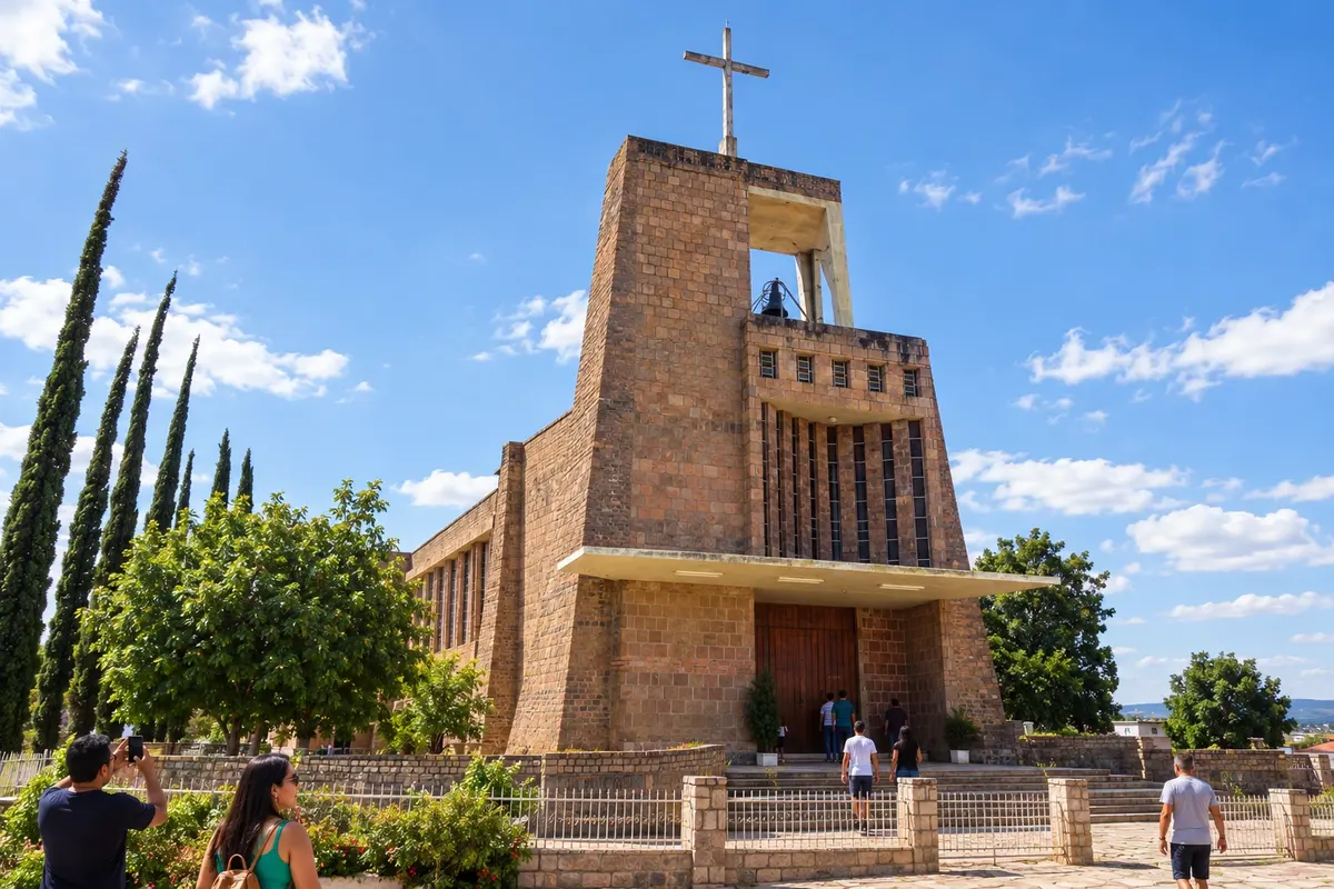
Seabra is a service hub of the Chapada along the BR-242 corridor, with a connection to the BA-148. The Igreja Bom Jesus stands out for its use of rose quartz, and the municipality's history is related to the former settlement of Cochó. In the Circuito do Diamante, the town arranges access on the west side and the Boninal branch.
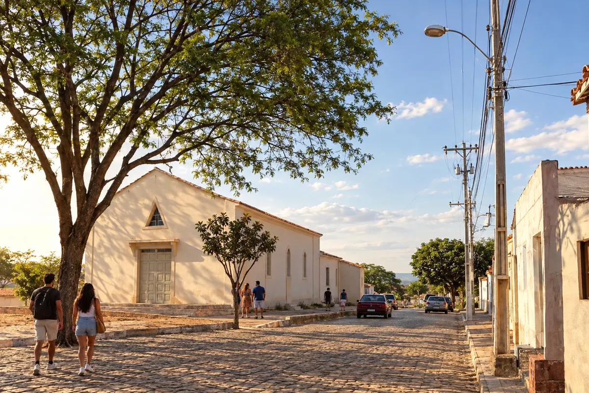
Souto Soares arose from the former settlement of Licuri, separated from Seabra, and is connected to the rural roads of the northern Chapada. Communities and agricultural activities make up the municipality's landscape. In the Circuito do Diamante, the municipal seat extends the Iraquara branch along the BA-122 corridor.
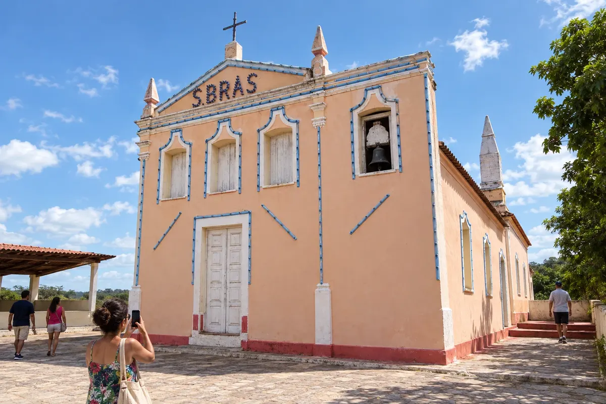
The cultivation of oil palm is part of the rural landscape and the production of Taperoá. In the urban core, the Igreja de São Brás and the relationship with the estuary channels help to understand the municipality's settlement.
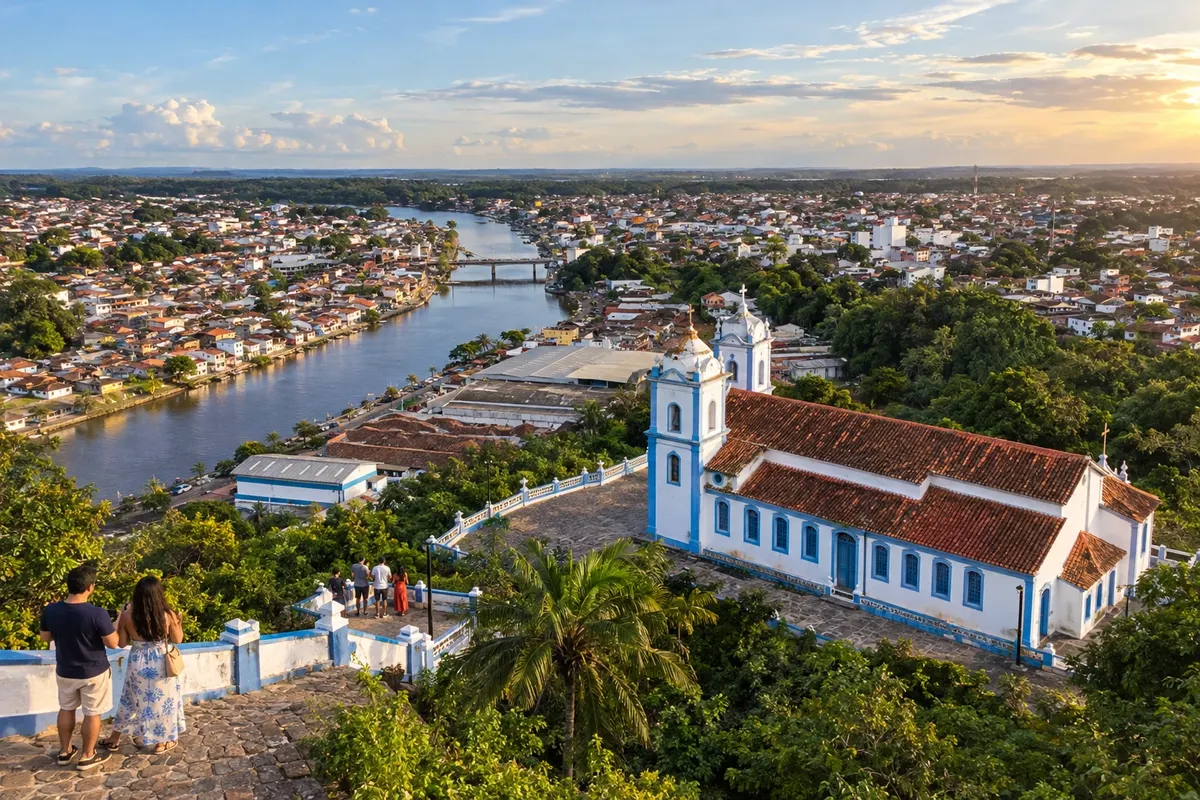
The Rio Una runs through Valença, whose city center preserves buildings linked to the former textile industry. Guaibim and Ponta do Curral make up its stretch of beaches, while the Igreja da Matriz and the Igreja do Amparo mark different points of the town.
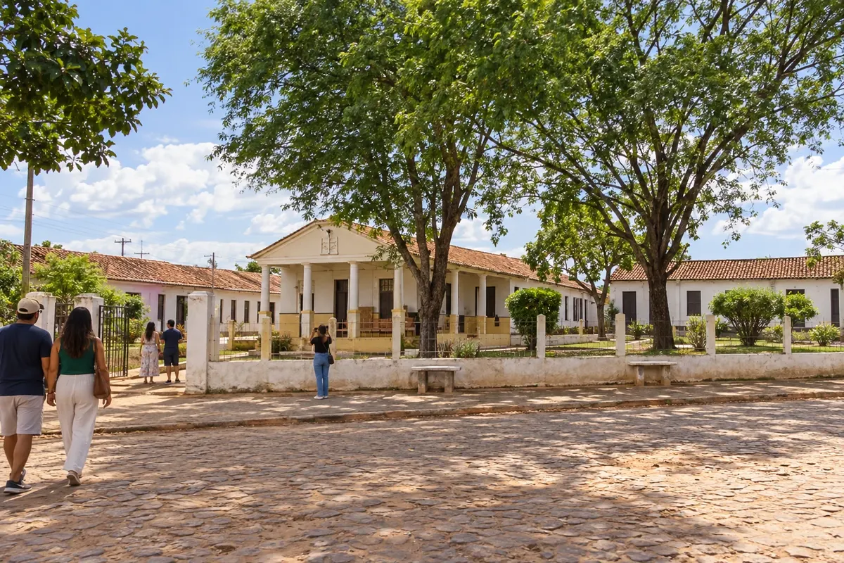
Wagner developed around the Instituto Ponte Nova, founded by Presbyterian missionaries, along the Rio Utinga. The history of education and health shaped the settlement in the Chapada. The town is part of the northern branch of the Circuito do Diamante, accessible via the BA-142 corridor from the BR-242.
Routes
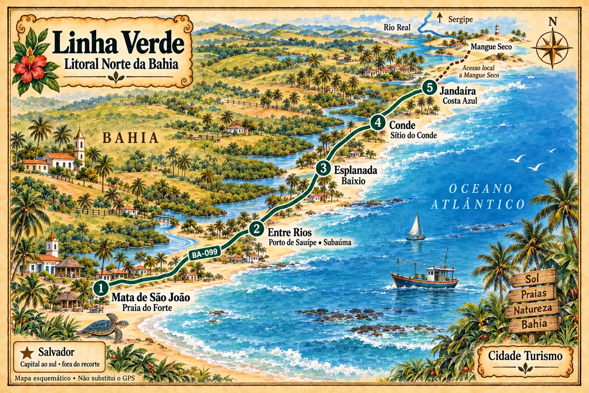
From Praia do Forte to the municipality of Jandaíra, the Green Line connects villages, beaches and estuaries of the Northern Coast of Bahia, with local access points to reach Mangue Seco.
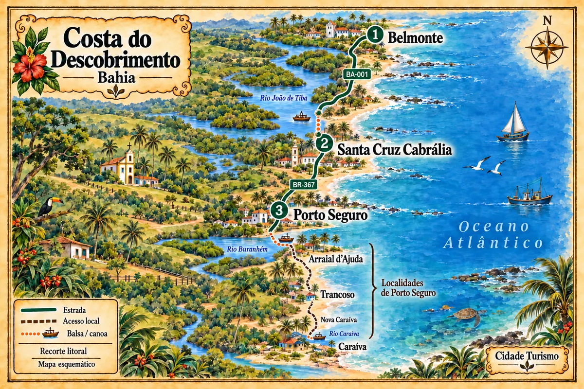
Between Belmonte, Santa Cruz Cabrália and Porto Seguro, the coastline brings together estuaries, historical heritage and communities linked to Pataxó culture.
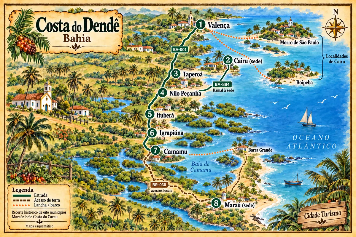
From the Una River to the Maraú Peninsula, the route combines towns of the Lower South, beaches, heritage and crossings along the historic Dendê Coast.
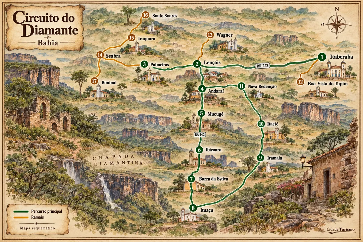
Mining-era houses, mountain ranges and rural roads among the municipalities of Chapada Diamantina.
On the coast, rains are strongest between April and June, especially in Salvador; from September to March the weather is more stable. Summer concentrates the high season and the big festivals: Bonfim in January, Iemanjá on February 2 and Carnival. In the Chapada Diamantina, the rainy season runs from November to March, with full waterfalls and slipperier trails; from April to October it's dry, and nights in June and July are cold. In June, São João takes over the inland towns.
Deputado Luís Eduardo Magalhães International Airport is in Salvador. Porto Seguro and Ilhéus have their own airports, which shorten travel to the south; in Lençóis, Horácio de Mattos Airport has limited operations, so it's worth checking whether there's a flight on the date. BR-324 links Salvador to Feira de Santana, and from there BR-242 continues to the Chapada. BR-101 cuts across the south of the state, and the Estrada do Coco and the Linha Verde lead to the north. To Morro de São Paulo there is a catamaran from the Terminal Náutico de Salvador, or a speedboat from Valença. The ferry-boat links Salvador to Ilha de Itaparica.
Your questions
Morro has more pousadas, restaurants and nightlife, and is easier to reach from Salvador. Boipeba is quieter, with less infrastructure and emptier beaches. You can combine the two: there are boat tours that circle Tinharé and stop at Boipeba.
Yes. Cairu charges a municipal fee for those disembarking in Morro de São Paulo, and the charge has been extended to Boipeba. The amount changes frequently, so check the current rate with the city hall before traveling.
At least four days for the classic outings from Lençóis, such as Pai Inácio, the Iraquara caves and Poço do Diabo. The Vale do Pati crossing takes three to five days. Those who want the southern Chapada, with Buracão, should add two or three days based in Ibicoara or Mucugê.
In many, yes. Long trails like the Vale do Pati and the Cachoeira da Fumaça from below have limited signage, and several attractions on private land only accept visitors with an accredited guide. The guides' associations of Lençóis, Palmeiras and Ibicoara organize the outings.
Barra and Rio Vermelho are near the waterfront, with restaurants and bars, and make getting around easier. The Pelourinho and Santo Antônio Além do Carmo leave the historic center walkable, with pousadas in old townhouses. At night, in the historic center, choose busy streets and use a taxi or ride app.
Yes. The village is about 80 kilometers from the capital via the Estrada do Coco. A day trip is feasible, but the village also works as a base to visit Imbassaí and the beaches of the Linha Verde.
Itacaré is the choice for surfing and trails, with village life. Ilhéus has an airport and Jorge Amado's historic center. On the Maraú peninsula, Barra Grande is the starting point for Taipu de Fora; it can be reached by boat from Camamu or by dirt road from Itacaré.
The party occupies three main circuits: Dodô, between Barra and Ondina; Osmar, in Campo Grande; and Batatinha, in Pelourinho, with smaller blocos. You can follow it "na pipoca" — that’s what people who follow the trios without an abadá are called — buy a bloco's abadá, or stay in a camarote. Accommodation near the circuits sells out early.
Mapa: @svg-maps/brazil, CC BY 4.0
Beyond the guide