Park and urban landscape
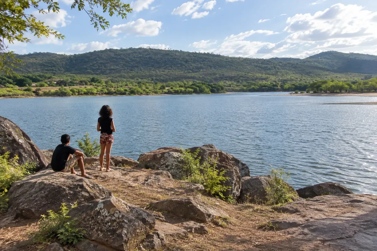
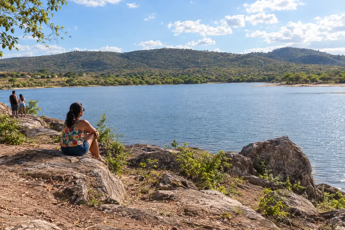
Parque Ecológico Juracy Magalhães
Itaberaba's park beside the açude Juracy Magalhães, with a shoreline connected to the municipality's urban landscape.
Discover Parque Ecológico Juracy Magalhães

Bahia · Brazil
In the destination Chapada Diamantina.
In the photo: The landscape of the açude Juracy Magalhães in Itaberaba.
Illustrative images. The pictures in this guide are illustrations based on the real place, not photographs, and may differ from it.
The city
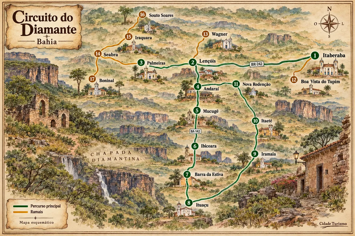
Itaberaba formed at a crossroads in the interior of Bahia and is known for pineapple production. The Pedra de Itaberaba gave the municipality its name, and the Parque Ecológico Juracy Magalhães adds a waterscape to the urban area. The town is the eastern gateway to the Circuito do Diamante, along the BR-242 corridor.
There's no accommodation in the guide yet in Itaberaba.
There are no restaurants in the guide yet in Itaberaba.
Know a good one? Recommend it to ushow to get there · how many days · itinerary · questions
The local experience
Itaberaba's park beside the açude Juracy Magalhães, with a shoreline connected to the municipality's urban landscape.
Discover Parque Ecológico Juracy Magalhães
Brazilian routes
Casario do garimpo, serras e caminhos rurais entre os municípios da Chapada Diamantina.