
Before you go
Your trip to Itaberaba.
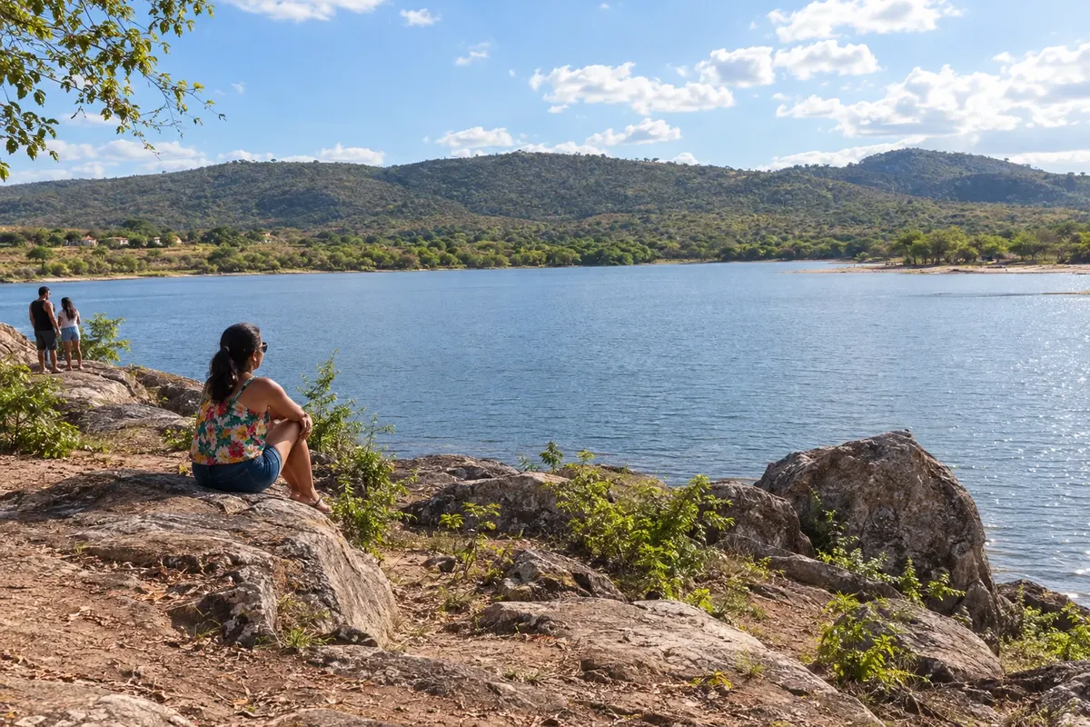
Illustrative images. The pictures in this guide are illustrations based on the real place, not photographs, and may differ from it.

Itaberaba – BA Destination Chapada Diamantina
How to get there
BR-242 is the access corridor to Itaberaba and the exit toward the Chapada. For the Parque Ecológico Juracy Magalhães, use the municipality's urban roads, with the arrival point separate from the passage on the highway.
How many days
One day can combine the urban core and the shoreline of the Parque Ecológico Juracy Magalhães. If continuing on to Lençóis, set aside another travel stage.
When to go
From May to September there is usually less rain at this entrance to the Chapada. From November to April, rain tends to require more attention to rural access roads. The park's water level varies, not determining the possibility of a walk along the shore.
The seasons shown are the most usual ones; nature doesn't always follow the calendar.
Do you need a car?
The urban stage can combine walks and local transport. A vehicle or transfer makes it easier to follow BR-242 to the Chapada bases and reach points outside the center.
Suggested itinerary
An order that works
Built with the places on this page. No rush: it's paced so you have time to see them.
One day in Itaberaba
-
Morning
Urban core
Notice the central streets and the references to Itaberaba's formation, setting aside part of the day for the park's landscape.
-
Afternoon
Park shoreline
Walk through the selected public spaces of the Parque Ecológico Juracy Magalhães, checking the terrain and access points upon arrival.
Check before you go. Opening hours and days change, and places may close for renovations, holidays or events. This itinerary is a suggestion from Cidade Turismo, not a commitment: plan yours by checking directly with each place you intend to visit.
Before you go
Frequently asked questions
Is Itaberaba just a place to pass through?
The town has its own urban core and the Parque Ecológico Juracy Magalhães as a stop to visit. Its position on BR-242 also facilitates entry into the Chapada.
Is the Pedra de Itaberaba located in the town center?
The formation that gave the municipality its name is outside the town proper. The historical reference does not equate to a rural visit included in this itinerary.
Does the park require the reservoir to be full?
The walk along the shore focuses on the public space and its landscape. The water level changes, and there is no promise of a waterfall or swimming.
Should I sleep in Itaberaba or continue to Lençóis?
Choose your base according to planned visits and travel. Itaberaba and Lençóis are different stages, connected by the BR-242 corridor.