Mucugê

Bahia · Brazil

Mucugê

In the destination Chapada Diamantina.

Illustrative images. The pictures in this guide are illustrations based on the real place, not photographs, and may differ from it.

Get it on Google Play Send your photos

The city

What to expect from Mucugê.

Mucugê preserves historic houses and traces of the diamond era at the foot of Serra do Sincorá. The Byzantine Cemetery, the stone streets and outings to rivers and trails reveal the town's identity.

Share: WhatsApp

Where to stay

55 places to stay in Mucugê.

Where to eat

9 places to eat in Mucugê.

Your trip

how to get there · how many days · itinerary · questions

Mucugê highlights and titles

Listed historic center (IPHAN)
National park

The local experience

What to see in Mucugê

historic center

Centro Histórico

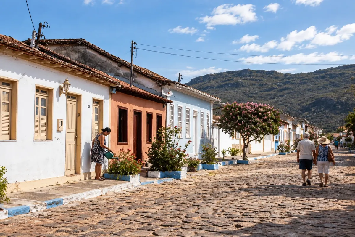
Founded after diamonds were discovered in the local river in 1844, the town ensemble was protected by Iphan (the national heritage institute) in 1980. It includes about 300 single-story houses and 10 two-story townhouses of adobe or stone from the second half of the 19th century, laid out in an L shape.

Discover Centro Histórico

museum

Museu Vivo do Garimpo

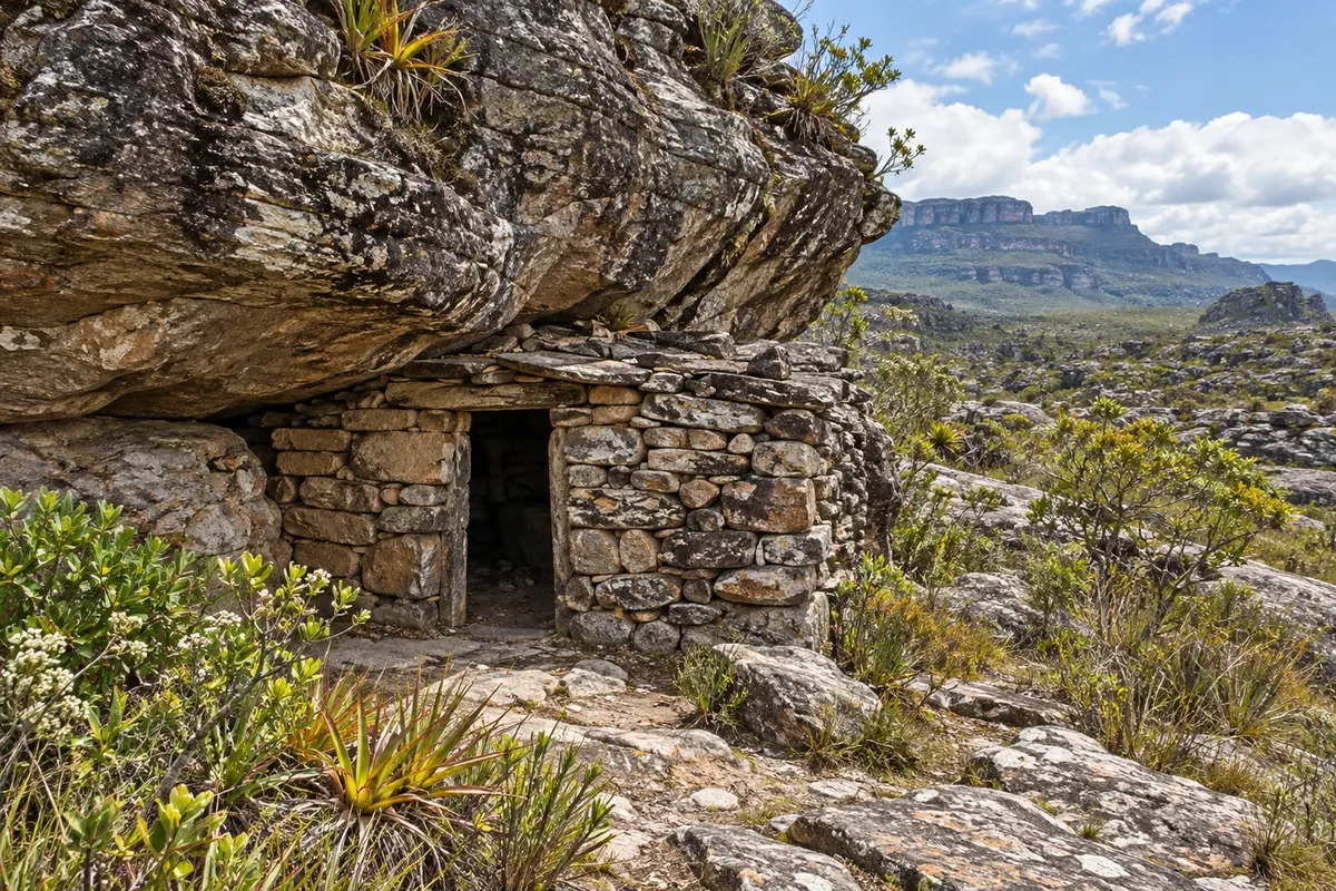
Set in a restored former miners' shelter inside the municipal park, it displays tools, clothing and diamond replicas from the mining era. Access is via the Trilha dos Polinizadores, a flat 400-meter path.

Discover Museu Vivo do Garimpo

See 1 more place in Mucugê
waterfall

Cachoeira das Andorinhas

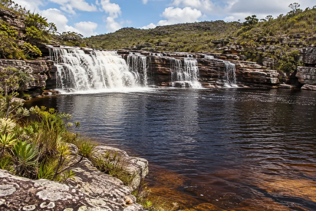
A waterfall on the Cumbuca River, reached by a trail of about 3 km through rocky grasslands and old mining areas. It has a wide pool for swimming and is part of the circuit that continues past Sete Quedas to Cachoeira do Funil.

Discover Cachoeira das Andorinhas

Before you go

Your trip to Mucugê

Mucugê – BA Destination Chapada Diamantina about 452 km from Salvador

How to get there

  • Aeroporto de Lençóis (LEC) Lençóis
  • Aeroporto Internacional de Salvador (SSA) Salvador
  • Rodoviária de Mucugê

Approximate distances. Check flights and bus, train or boat schedules before you travel.

Mucugê is 147 km from Lençóis, on a paved road, and about 450 km from Salvador. There are buses from Salvador; some sources mention a change in Itaberaba. Nearest airport: Lençóis; the main one is Salvador.

How many days

Two days cover the center, the cemetery, the municipal park and Cachoeira das Andorinhas. With one more, you can go to Igatu or to Buracão, in Ibicoara, 77 km away.

When to go

From April to October, with dry trails. From June to August the nights are cold: bring a jacket. The São João festival, with traditional forró music, takes place around June 21 to 24. From November to March it rains more.

The seasons shown are the most usual ones; nature doesn't always follow the calendar.

Do you need a car?

In the historic center, no: you can walk. The municipal park and the Museu Vivo do Garimpo (mining museum) are a few kilometers away, on a paved road, and a car is more practical. For Igatu and Ibicoara, yes.

Suggested itinerary

An order that works

Built with the places on this page. No rush: it's paced so you have time to see them.

One day in Mucugê
  1. Morning
    Centro Histórico

    Start with the streets of adobe and stone houses, protected by Iphan (the national heritage institute).

  2. Morning
    Cemitério Bizantino (Santa Isabel)

    On the rocky hillside, on the way out of town. Half an hour is enough.

  3. Afternoon
    Municipal Park (Projeto Sempre Viva)

    Trails to the Tiburtino and Piabinha waterfalls, with swimming.

  4. Afternoon
    Museu Vivo do Garimpo

    Inside the park, along a flat 400-meter trail. It shows how people lived in the mining days.

  5. Evening
    Cemitério Bizantino (Santa Isabel)

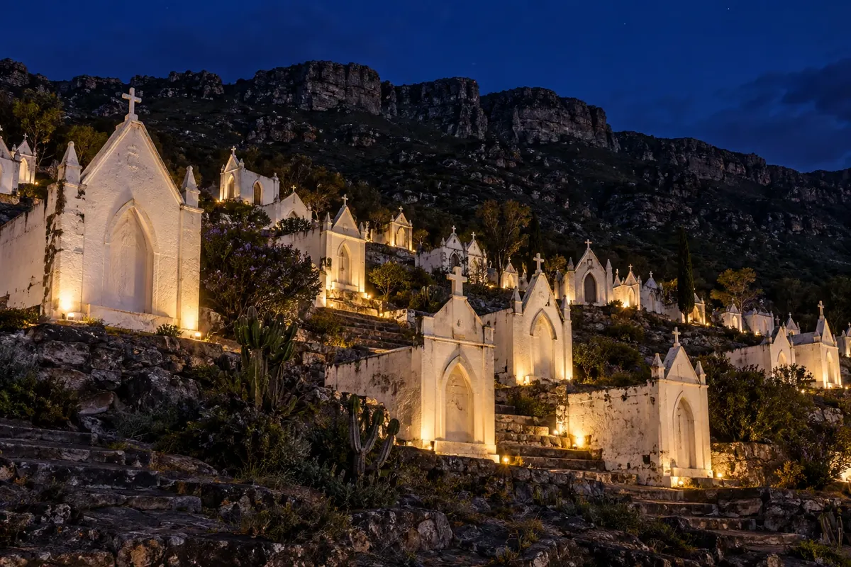
    Come back after dark, when the tombs are lit up.

2 days in Mucugê

Day 1

  1. Morning
    Centro Histórico

    The mining-era houses, at an easy pace.

  2. Morning
    Cemitério Bizantino (Santa Isabel)

    The white tombs set into the rock.

  3. Afternoon
    Museu Vivo do Garimpo

    In the municipal park, along the flat 400-meter trail.

  4. Evening
    Cemitério Bizantino (Santa Isabel)

    Back at night, with the lighting.

Day 2

  1. Morning
    Cachoeira das Andorinhas

    A trail of about 3 km through rocky grasslands and old mining sites, to a wide pool for swimming.

  2. Afternoon
    Municipal Park (Projeto Sempre Viva)

    The Tiburtino and Piabinha waterfalls, inside the park.

Check before you go. Opening hours and days change, and places may close for renovations, holidays or events. This itinerary is a suggestion from Cidade Turismo, not a commitment: plan yours by checking directly with each place you intend to visit.

Before you go

Frequently asked questions

Does it get cold in Mucugê?

Yes, especially at night, between June and August. It is one of the coldest towns in the Chapada. Bring a jacket even outside winter.

Is the Byzantine Cemetery worth visiting at night?

It is worth going back after dark: the tombs are lit up and look different from what you see by day.

Is Mucugê a good base for the southern Chapada?

Yes. Ibicoara, home of Buracão, is 77 km away on a paved road, and Igatu is on the way to Andaraí. For Pai Inácio and the Iraquara caves, Lençóis is closer.

When is the São João festival?

Around June 21 to 24, with traditional forró music on cold nights. The town fills up at this time: book your lodging well in advance.

Traveler, share your experiences through photos Up to 5 photos of each place you visited.

Brazilian routes

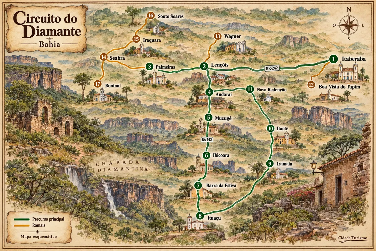
Mucugê is part of the Diamond Circuit

Mining-era houses, mountain ranges and rural roads among the municipalities of Chapada Diamantina.

Illustrative map, not to scale. Tap a city to open its page.
Illustrated map of Diamond Circuit
Explore the Diamond Circuit
See the destination Chapada Diamantina Find another city

Beyond the guide