2 cities

 Search
Brazil
 Antarctica
 Argentina
 Bolivia
 Chile
 Colombia
 Ecuador
 Guyana
 French Guiana
 Falkland Islands (Malvinas)
 Paraguay
 Peru
 Suriname
 Uruguay
 Venezuela
 Germany
 Austria
 Belgium
 Croatia
 Denmark
 Slovakia
 Slovenia
 Spain
 Finland
 France
 Greece
 the Netherlands
 Hungary
 Ireland
 Iceland
 Italy
 Luxembourg
 Norway
 Poland
 Portugal
 the United Kingdom
 the Czech Republic
 Sweden
 Switzerland
 Turkey
 Bermuda
 Canada
 the United States
 Greenland
 Mexico
 Saint Pierre and Miquelon
 the Dominican Republic
 JapanTurkey
 South Africa
 Egypt
 Australia
 Fiji
 New Zealand
 Papua New Guinea
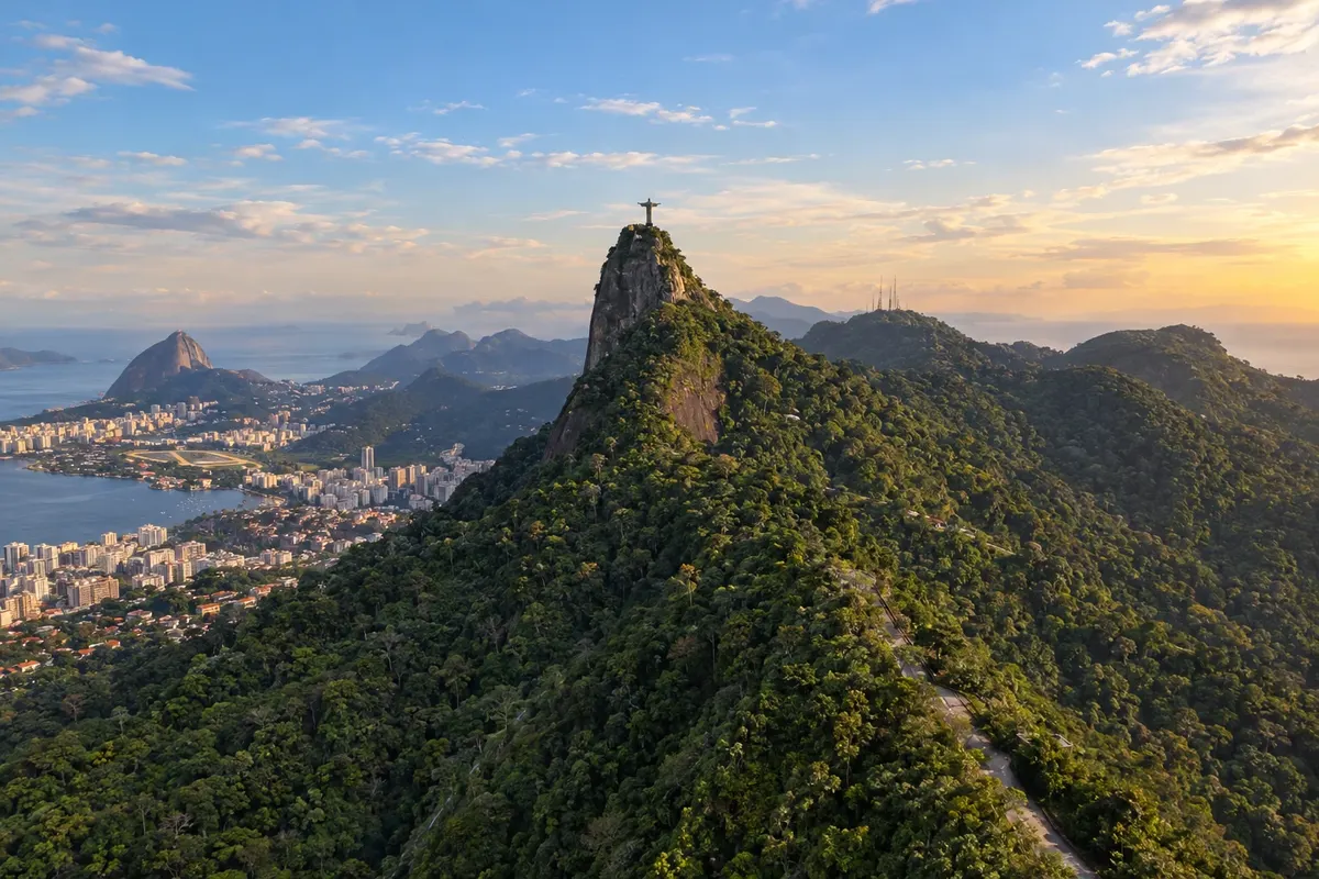
State · Southeast
From downtown Rio to the Petrópolis mountains it's about 70 km. In the opposite direction, BR-101 leads to the islands of Angra and the colonial houses of Paraty; to the east, to the cold-water beaches of Arraial do Cabo.
In the photo: Morro do Corcovado and Cristo Redentor, Rio de Janeiro (RJ)
Illustrative images. The pictures in this guide are illustrations based on the real place, not photographs, and may differ from it.
The state
The city of Rio de Janeiro has a landscape recognized as a World Heritage Site: hills covered in forest descend to the sea, and the Parque Nacional da Tijuca lies within the urban area. Cristo Redentor, on Corcovado, and Pão de Açúcar are the classic visits, alongside the beaches of Copacabana and Ipanema and the historic downtown. Carnaval, with the parades at the Sapucaí and the street blocos, and New Year's Eve in Copacabana are the busiest times. On the carioca table you have Saturday feijoada and, on the sand, biscoito de polvilho with mate gelado. Across the Baía de Guanabara, Niterói has the Museu de Arte Contemporânea by Oscar Niemeyer and is reached by bridge or ferry.
The Costa Verde follows the Rio–Santos between the Serra do Mar and the ocean. Angra dos Reis is the departure point for the bay's islands and for Ilha Grande, where cars do not circulate. Paraty preserves its 18th-century street layout and was the final port of the Caminho do Ouro. Together with Ilha Grande it forms a World Heritage Site recognizing culture and nature. The town is known for cachaça, the Festa do Divino and the Festa Literária Internacional, the Flip.
To the east, the Região dos Lagos has a drier, windier climate. Cabo Frio has dunes and wide beaches; in Arraial do Cabo, upwelling brings cold, clear water, good for diving; Armação dos Búzios occupies a peninsula with dozens of beaches and coves.
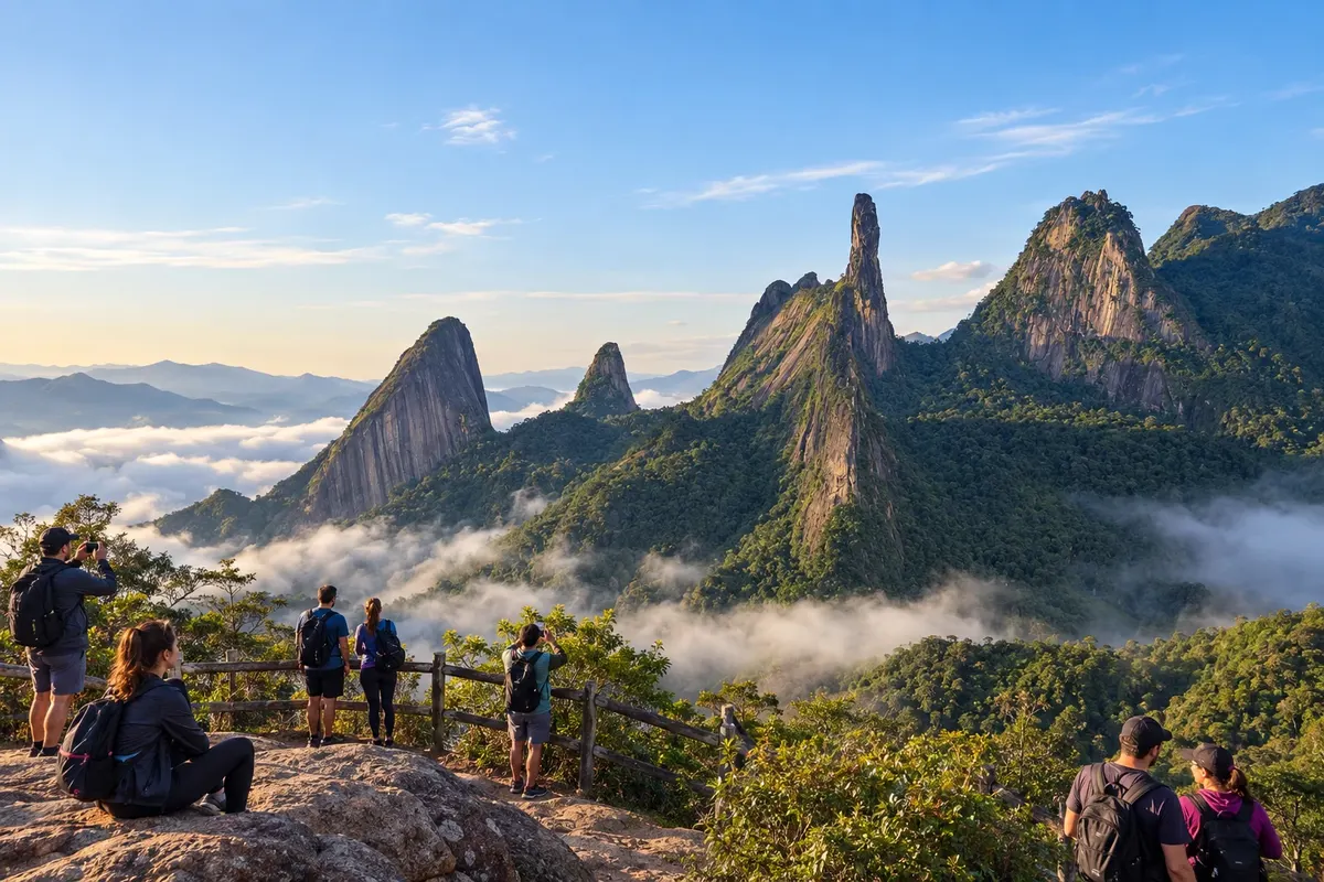
Heading up into the mountains, Petrópolis was Dom Pedro II's summer city, and the former summer palace houses the Museu Imperial. Teresópolis is the gateway to the Parque Nacional da Serra dos Órgãos, with the Dedo de Deus and mountain trails. Nova Friburgo was founded as a colony of Swiss immigrants and later reinforced by Germans. The Região Serrana Fluminense (Serra Verde Imperial) has craft beer hubs, trout on the menus and a cold winter.
On the border with Minas and São Paulo, the fluminense Serra da Mantiqueira includes Itatiaia, home of Brazil's first national park, created in 1937, and Resende, where the village of Visconde de Mauá is located. Penedo, a district of Itatiaia, was founded by Finnish immigrants. Further north, along the Caminhos Coloniais, Paraíba do Sul and Comendador Levy Gasparian lie on the route of the old Caminho Novo, opened to carry gold from Minas to the port of Rio.
Destinations
Cities
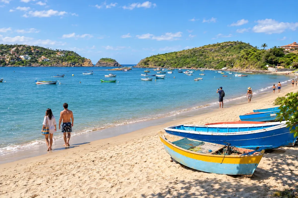
Armação dos Búzios combines beaches with varied profiles and walks through the town center. Geribá is known for surfing, while Ferradura has a more sheltered cove. Orla Bardot and Rua das Pedras complete the route with seaside scenery, shops and restaurants.
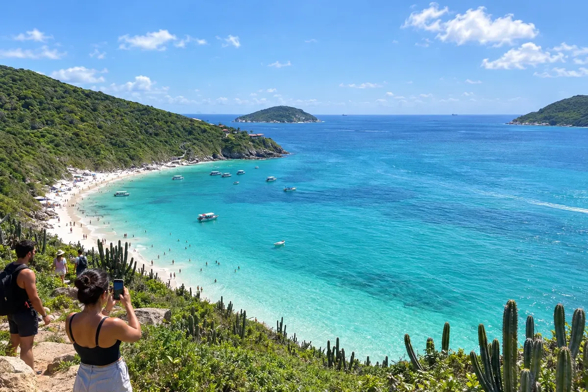
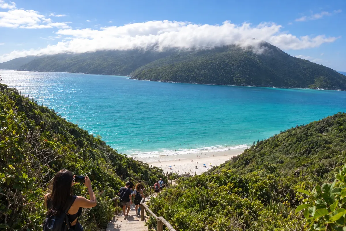
Arraial do Cabo brings together clear-water beaches and sea-related activities. Praia do Forno requires access by trail or boat, and the Prainhas do Pontal do Atalaia are known for their stairway. Prainha and Praia Grande round out a trip with time to rest and enjoy the scenery.
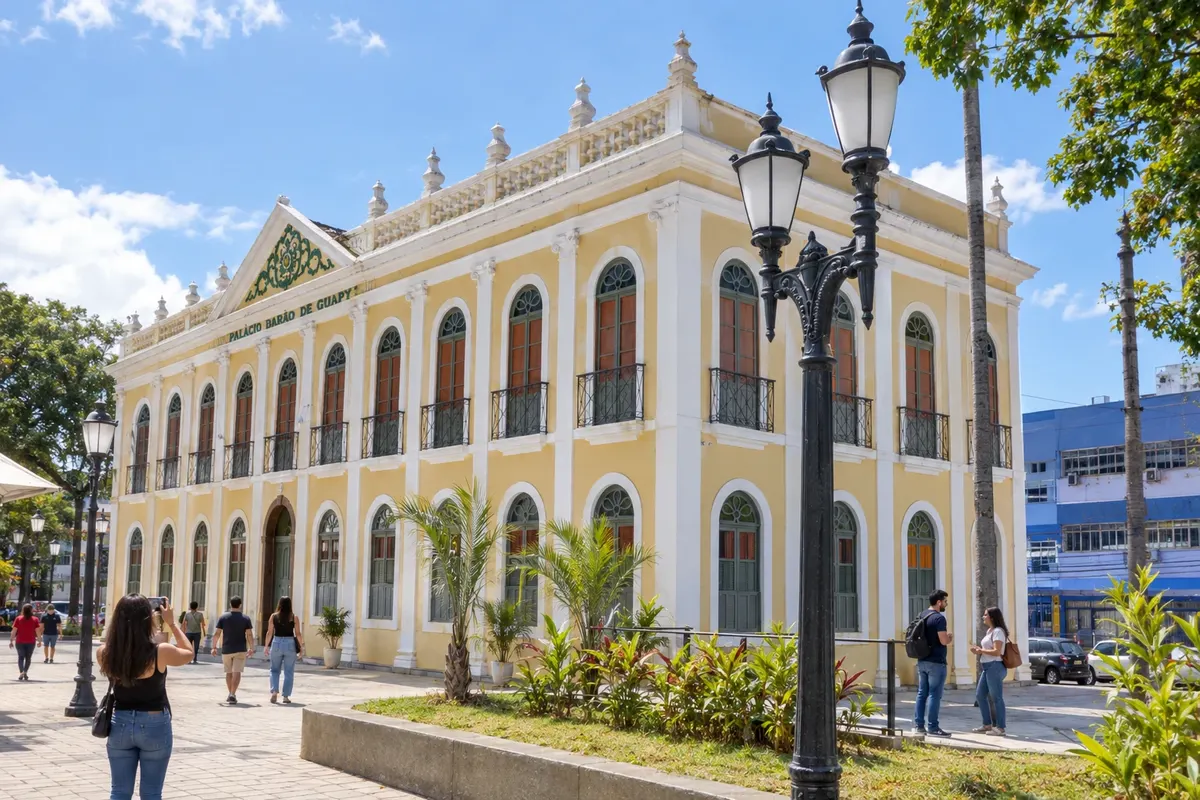
Barra Mansa is an urban center in the Médio Paraíba with its own historical heritage and cultural life. The Palácio Barão de Guapy houses cultural facilities, and the Parque Centenário forms a tree-lined area in the center. The Fazenda da Posse preserves the municipal memory, while the Matriz de São Sebastião displays its religious history. These places connect the rural past to the present city.
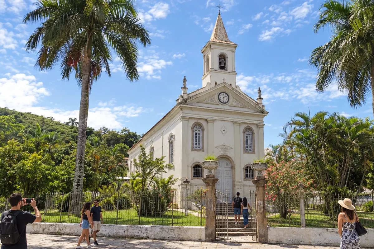
Barra do Piraí grew with the railway junction and preserves the Catedral de Sant’Ana in the urban core. The fazendas São João da Prosperidade and da Taquara allow you to learn about old coffee estates with organized visits. In the district of Ipiabas, the Cachoeira de Ipiabas presents a natural side of the municipality. The route includes town, rural memory and landscape.
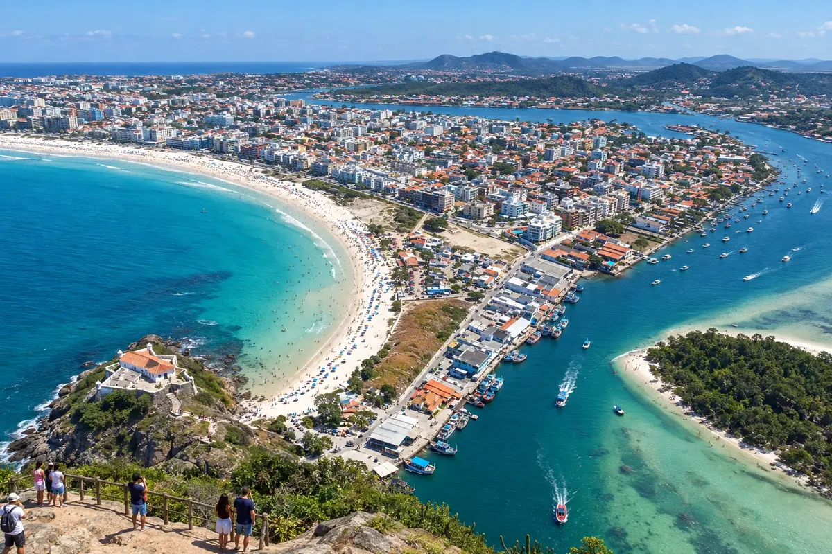
Cabo Frio combines beach, waterside scenery along the canal and urban walks. Praia do Forte is one of the city's highlights, while the neighborhood of Passagem brings together heritage and gastronomy. Peró and Ilha do Japonês expand the options for those who want to spread outings over several days.
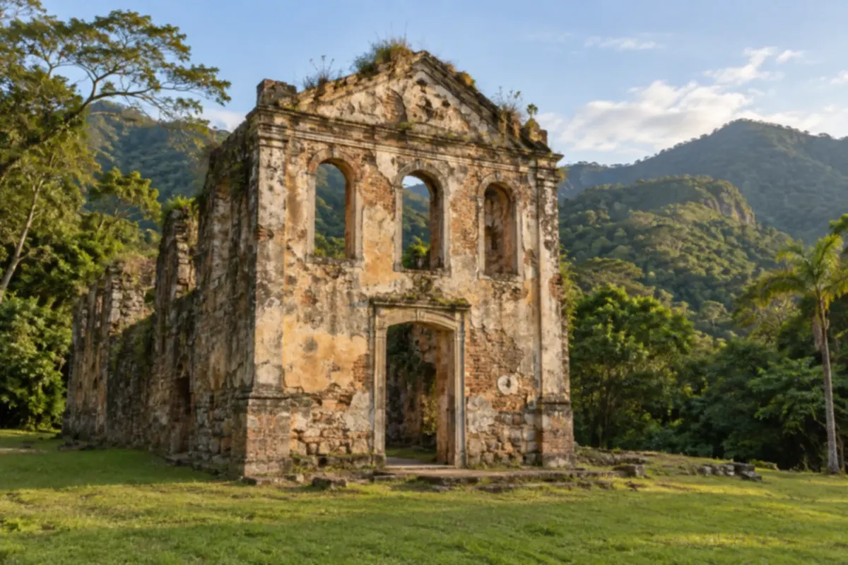
Cachoeiras de Macacu lies at the foot of the mountains, in a region of rivers and vast areas of Atlantic Forest. Outdoor outings can be combined with discovering its rural historic heritage.
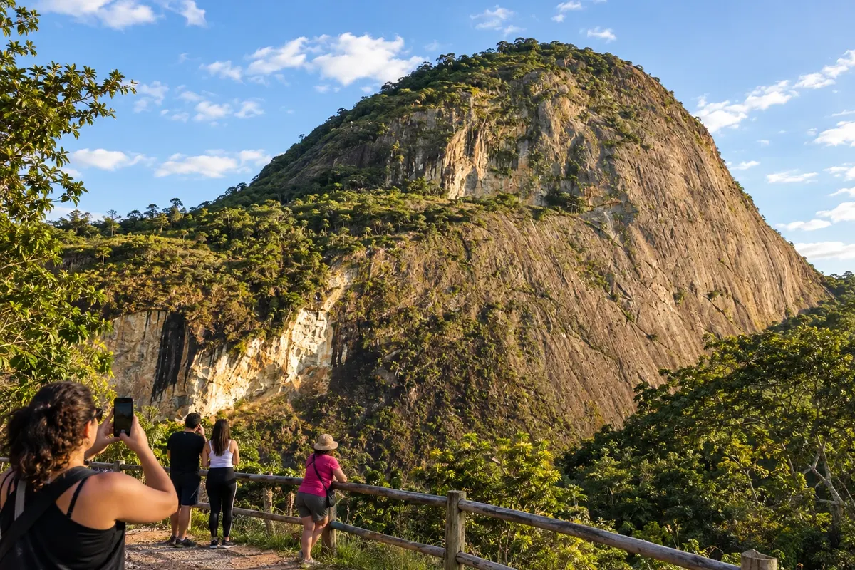
Comendador Levy Gasparian is home to the Museu Rodoviário de Paraibuna, installed in a former horse-exchange station of the União e Indústria, and the Igreja Nossa Senhora de Mont Serrat. The Rio Paraibuna shapes the landscape and hosts rafting activities. On the Caminho Novo, the town brings travelers closer to the history of transport and the river valley.
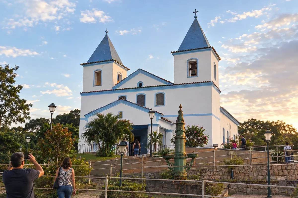
Engenheiro Paulo de Frontin brings together the Estação Ferroviária, the Igreja de Nossa Senhora da Soledade and the core of Sacra Família do Tinguá, with the Igreja de Nossa Senhora da Conceição. The railway and the former parishes explain part of the municipality's formation. Lago Azul adds a waterscape and vegetation to a visit through the Vale do Café.
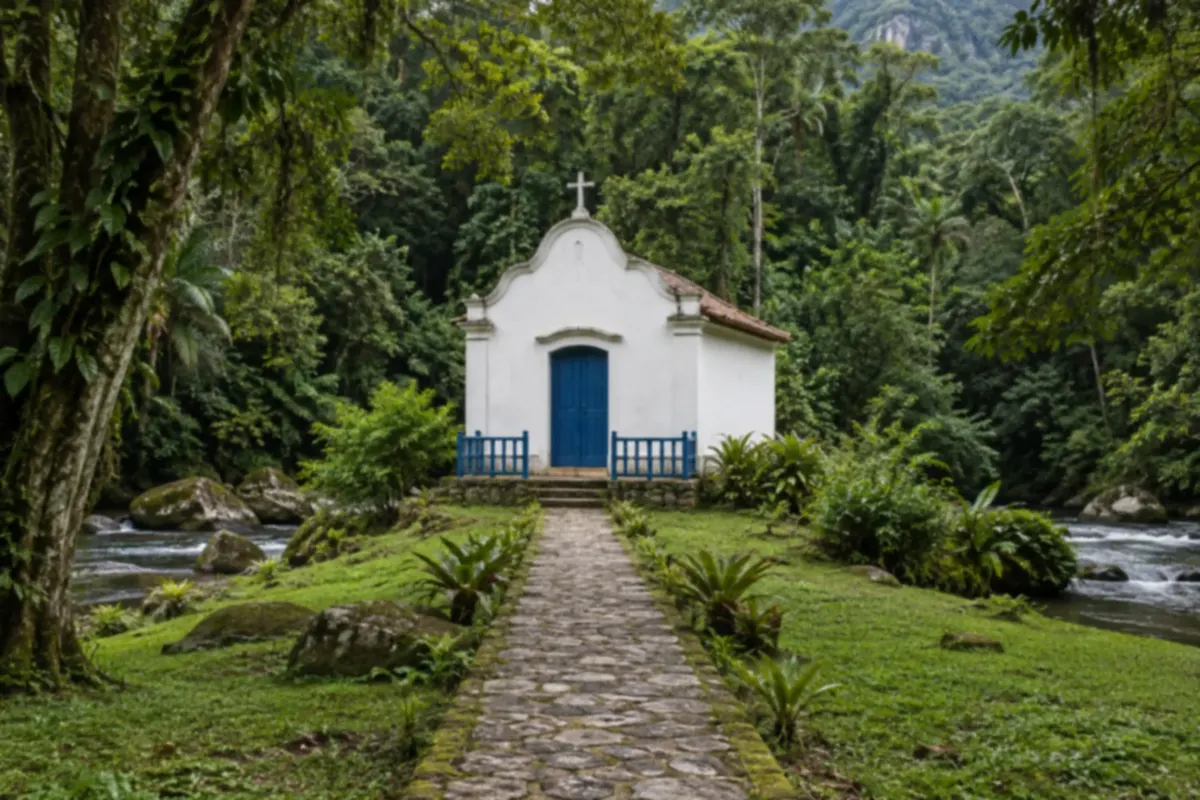
Guapimirim stretches from the mangroves of Guanabara Bay to the slopes of the Serra dos Órgãos. It is a place to hike trails and explore the river landscapes in the Atlantic Forest.
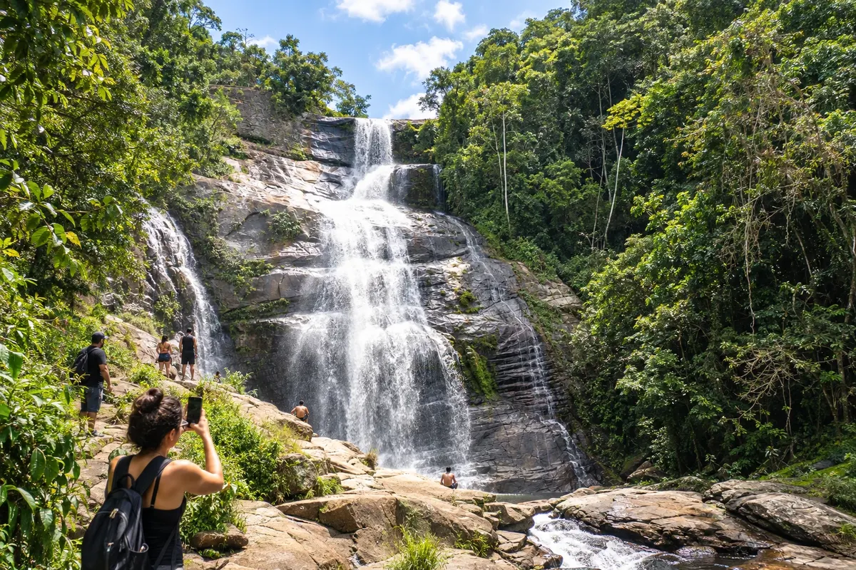
Magé retains the Estação Guia de Pacobaíba, linked to Mauá’s railway history, and the Igreja Senhor do Bonfim, located atop the municipal seat. On Mauá’s waterfront, the mangroves and the Parque Natural Municipal Barão de Mauá show another side of the municipality, focused on environmental restoration. This combination broadens the visit to the fluminense arrival point of the Caminho Novo.
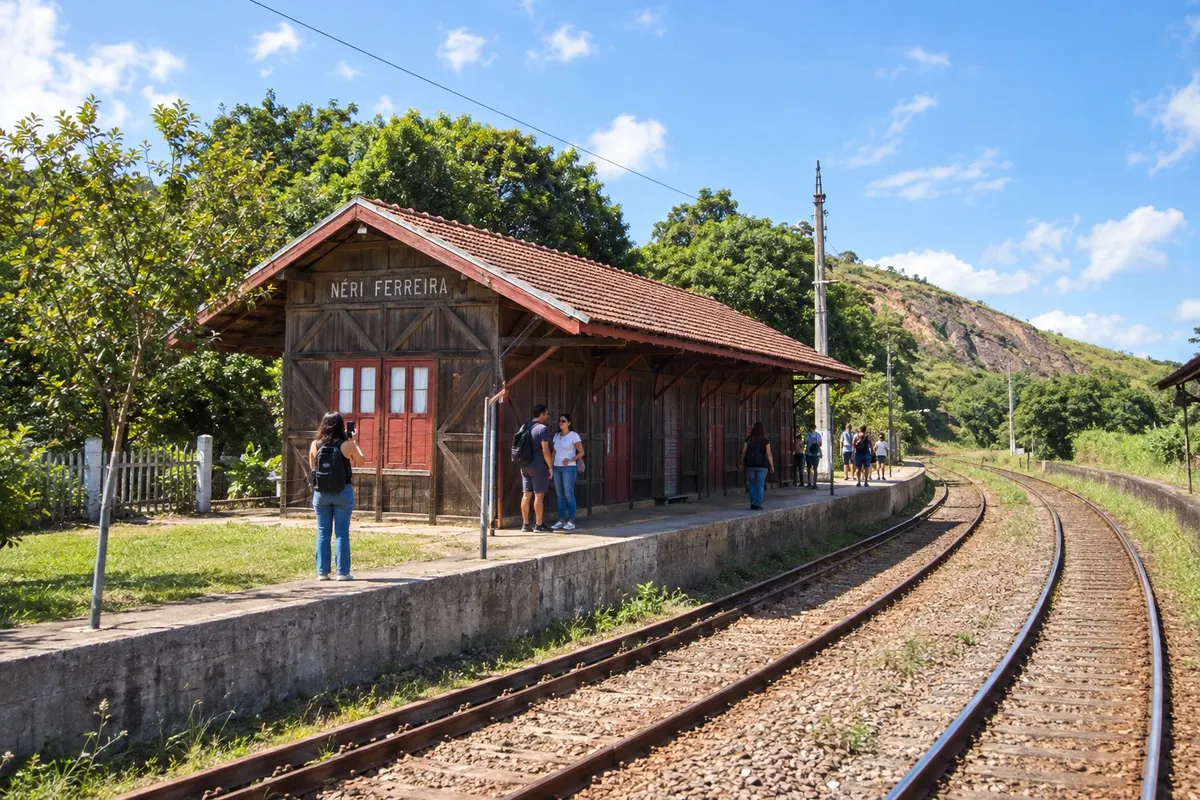
Mendes preserves the Estação Ferroviária Néri Ferreira and the Horto Municipal on Morro do Socorro. The memory of the trains coexists with the Mata Atlântica vegetation that surrounds the urban core. In this stage of the Vale do Café, the town center and the hill landscape make it possible to recognize a city linked to railway circulation and to the old inland activities.
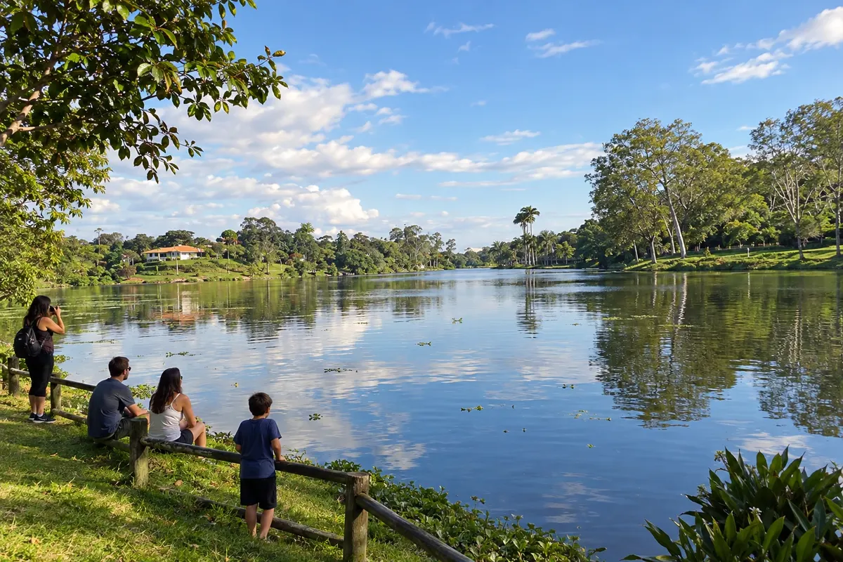
Miguel Pereira combines the landscape of Lago de Javary with the railway heritage of the Viaduto Paulo de Frontin, in Vera Cruz. The Museu Francisco Alves gathers objects linked to the singer known as the King of the Voice, and the Espaço do Artesão showcases local craft production. The mountain town offers a route focused on water, railway, music and cultural activities.
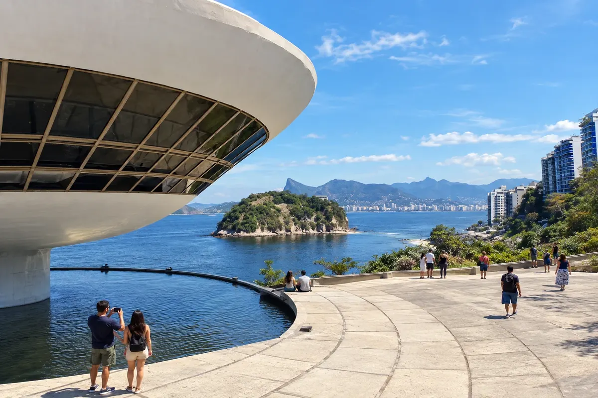
Niterói is on the east shore of the Baía de Guanabara, opposite Rio de Janeiro. It features the Museu de Arte Contemporânea, a project by Oscar Niemeyer, viewpoints at Parque da Cidade and a set of historic forts. In the Região Oceânica there are beaches such as Itacoatiara, Camboinhas and Itaipu, popular for surfing, short trails and coastal scenery. The urban waterfront of Icaraí complements the visit.
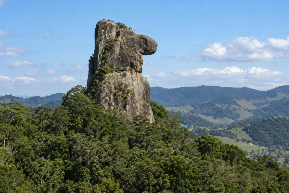
Nova Friburgo combines city life and rural districts among Atlantic Forest mountains. You can explore the immigrants' heritage and head out for walks and meals in the mountain villages.
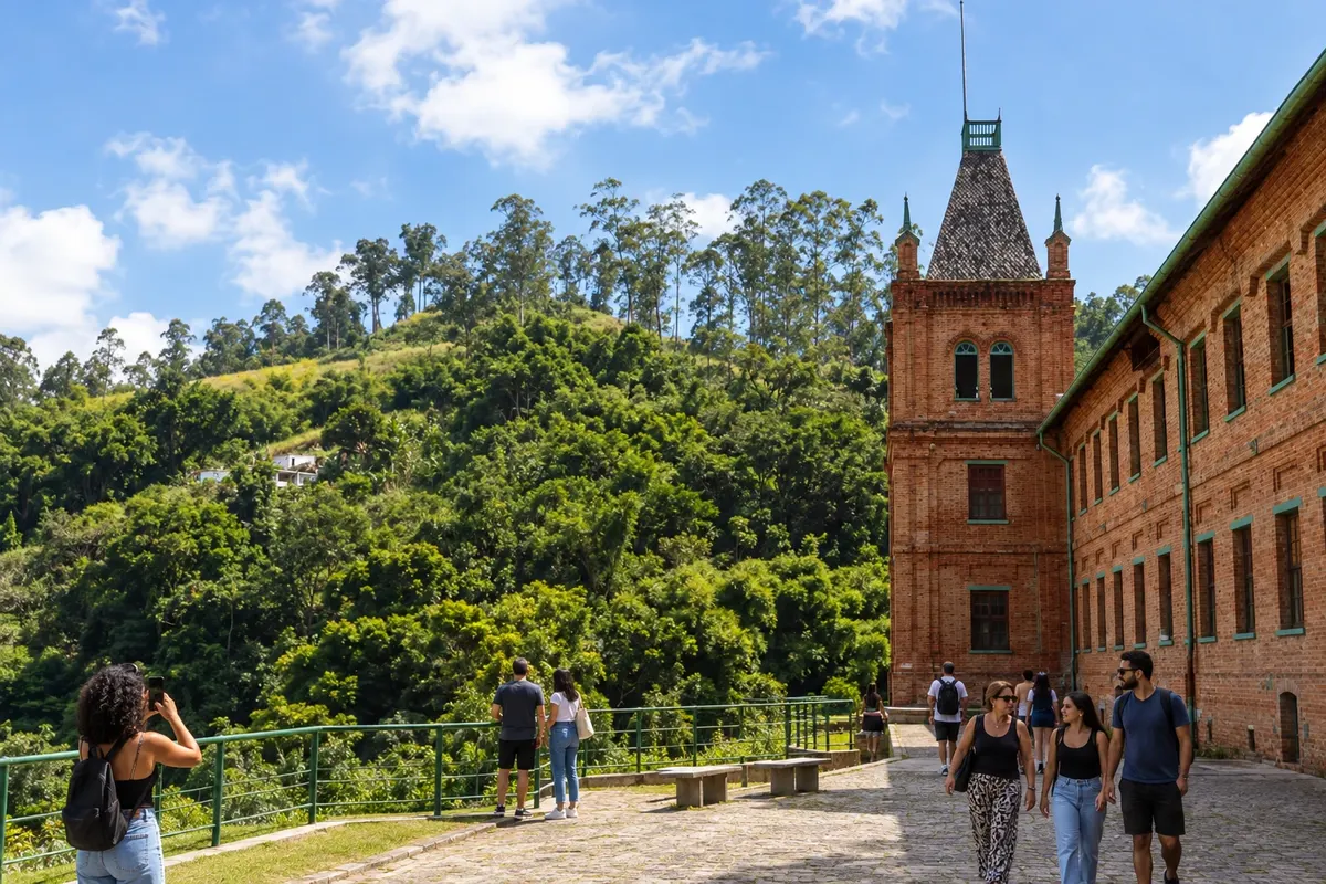
Paracambi is home to the former Companhia Têxtil Brasil Industrial, today known as Fábrica do Conhecimento, and the Parque Natural Municipal do Curió. The factory complex and the Mata Atlântica on the hills present two sides of the town. It is the first stop on this route through the Vale do Café, carrying the memory of industrial labor and environmental heritage.
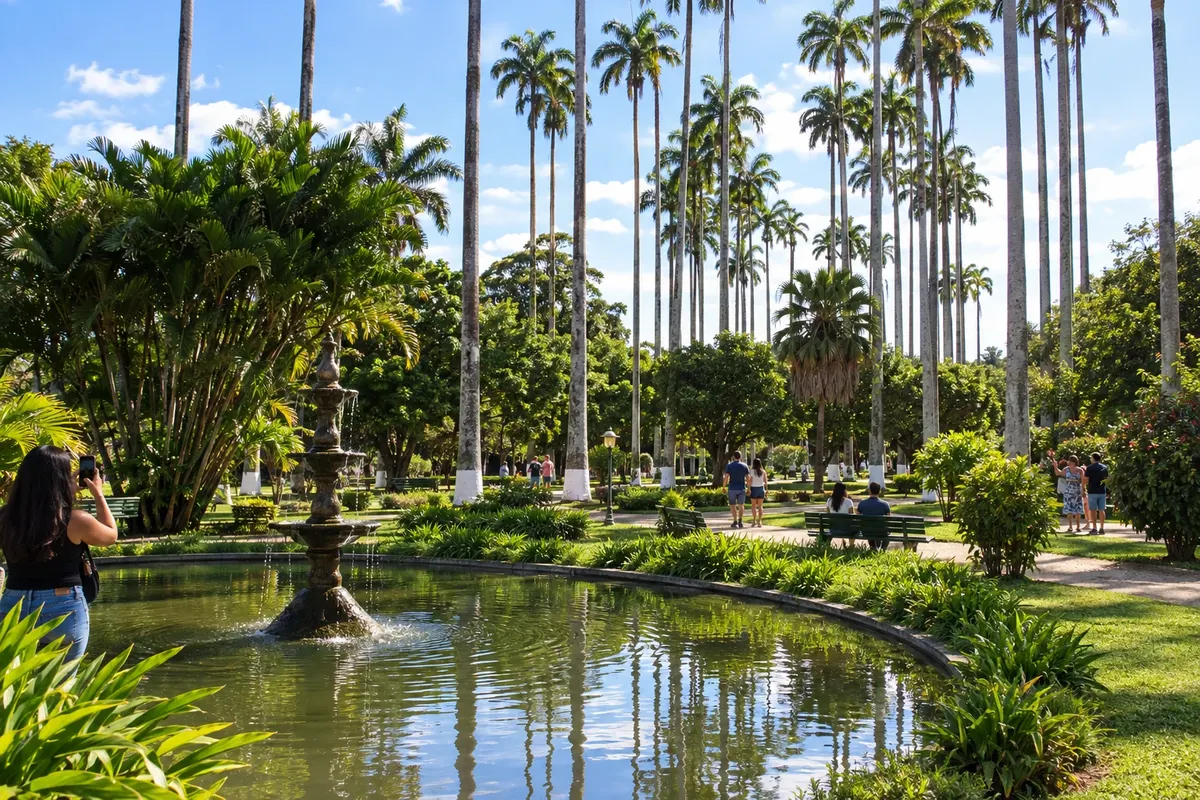
Paraíba do Sul combines the mineral waters of Parque Salutaris with the urban heritage of Jardim Velho, also called Jardim São João Marcos. The old station houses the Centro Cultural Maria de Lourdes Tavares, while the Palacete Ribeiro de Sá marks the city's architecture. The stop at Caminho Novo allows you to discover a hydromineral spa linked to the river that gives it its name.
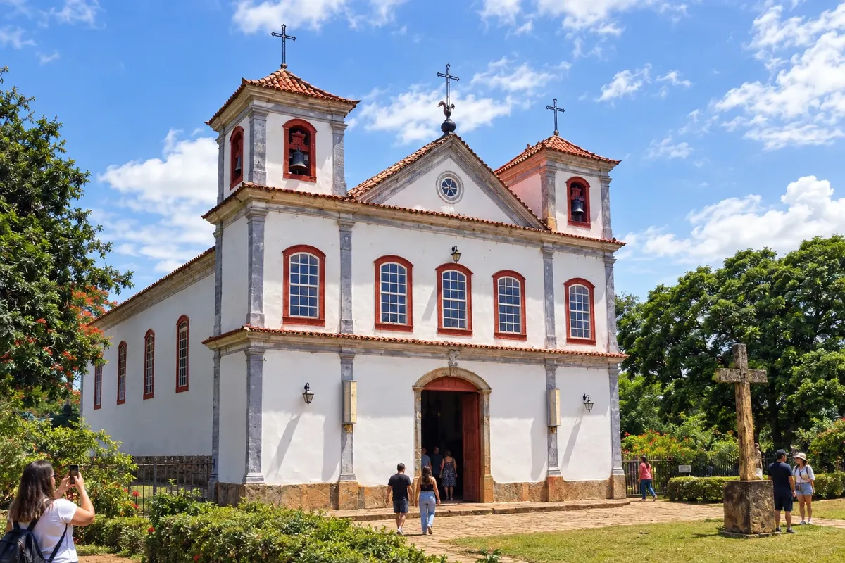
Paty do Alferes preserves the Matriz de Nossa Senhora da Conceição and the memory of the village in the Monumento 200 Anos, at Praça Manoel Congo. The Museu da Cachaça operates in the Casario do Alferes, while Praça da Estação provides a communal space in the town center. Agricultural production and the Festa do Tomate, in Avelar, are also part of the municipality's identity.
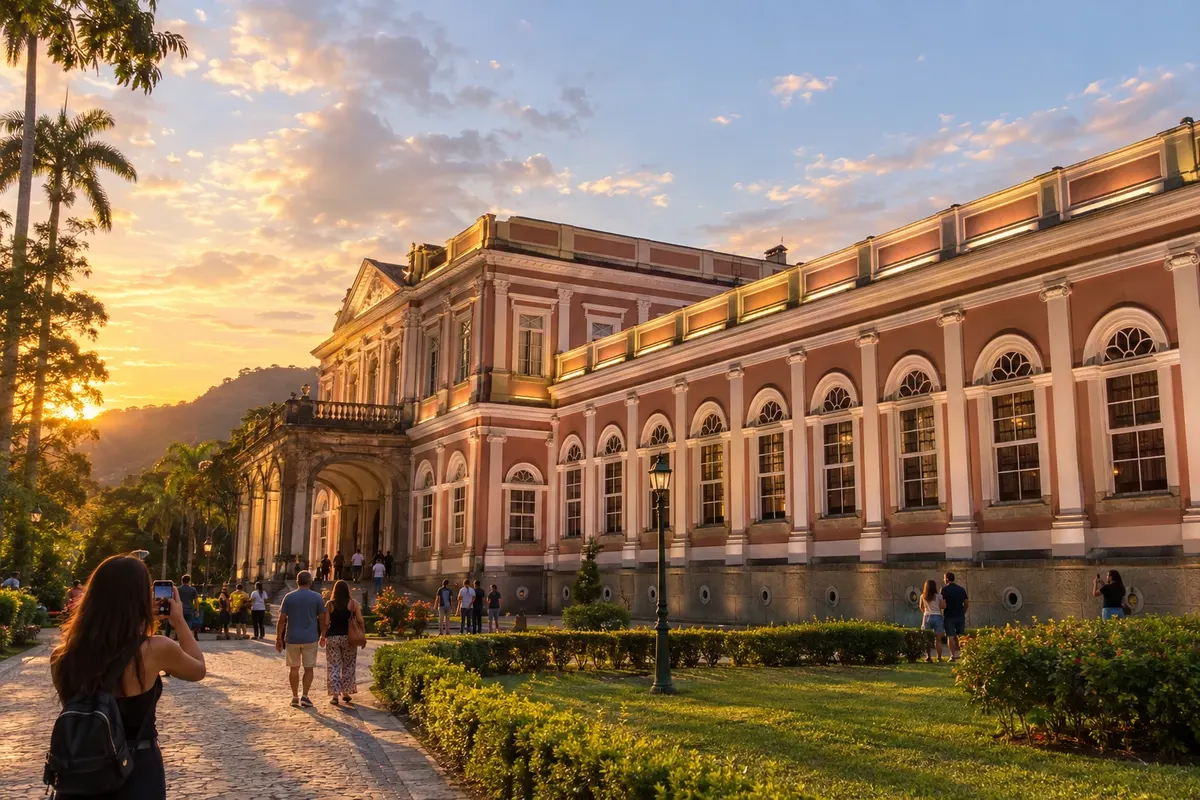
Petrópolis is a mountain town shaped by imperial history and the Atlantic Forest. Walks through the historic center can be combined with cultural visits and outings in the mountains.
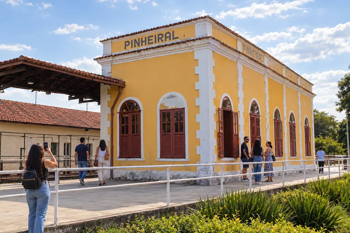
Pinheiral has in the Estação da Cultura a landmark of its railway history and preserves the memory of the former Fazenda São José do Pinheiro, in the area now linked to the IFRJ campus. The city occupies the Médio Paraíba corridor. At this stop in the Vale do Café, the station building and the layout of the former estate help interpret the municipality's transformation.
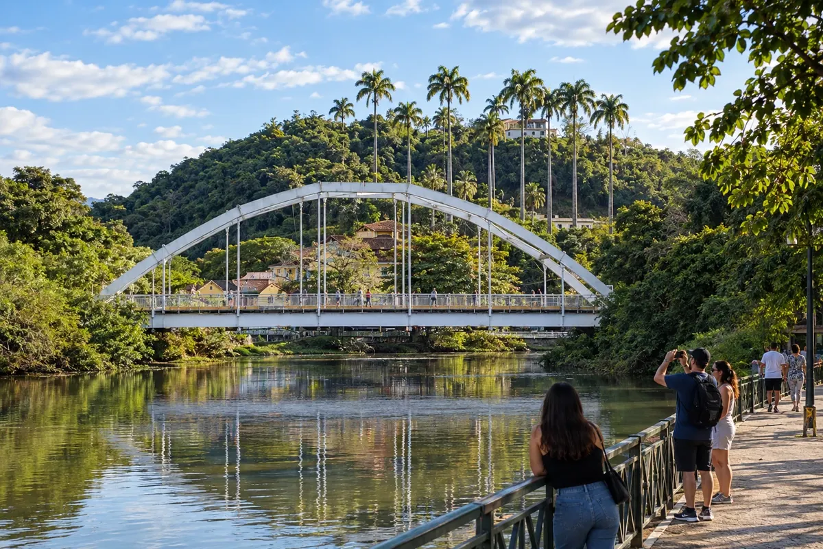
Piraí brings together the Matriz de Sant’Ana and the landscape of the Represa de Ribeirão das Lajes, linked to the state's energy history. The municipal seat and its districts retain features of the interior of Rio de Janeiro, while the Presidente Dutra corridor takes part in the current economy. The city concludes this route through the 14 municipalities chosen for the Vale do Café.
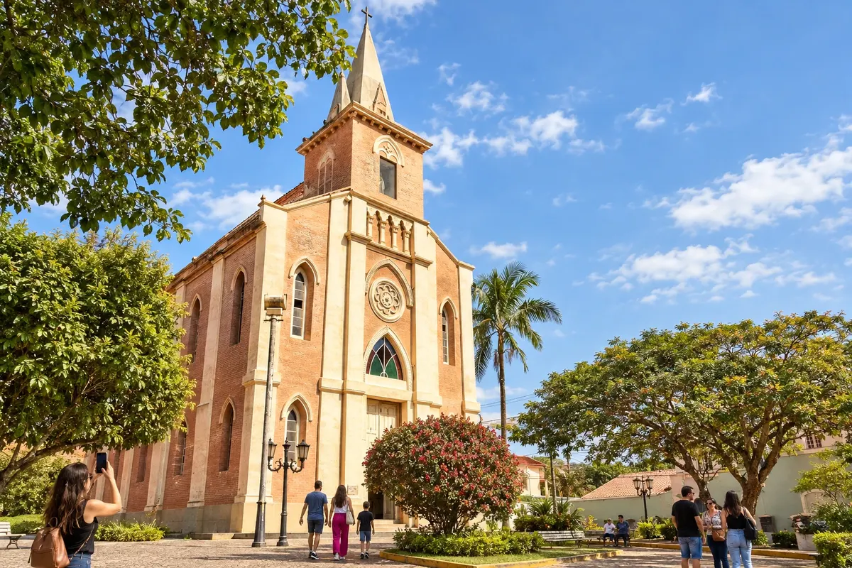
Rio das Flores brings together the Matriz de Santa Teresa D’Ávila, the Casa da Cultura and the Mirante do Cruzeiro around the landscape of the hills of the Vale do Café. In Taboas, the Igreja de São José adds another historic core to the visit. The parish memory of Santa Teresa includes the record of Santos Dumont's baptism, and the municipality still preserves old rural estates.
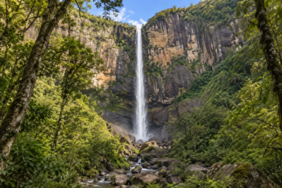
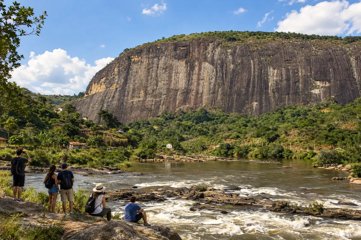
Sumidouro has rural landscapes marked by granite outcrops and waterfalls. A visit can combine taking in the Cascata Conde d'Eu (waterfall) with trips along the country roads.
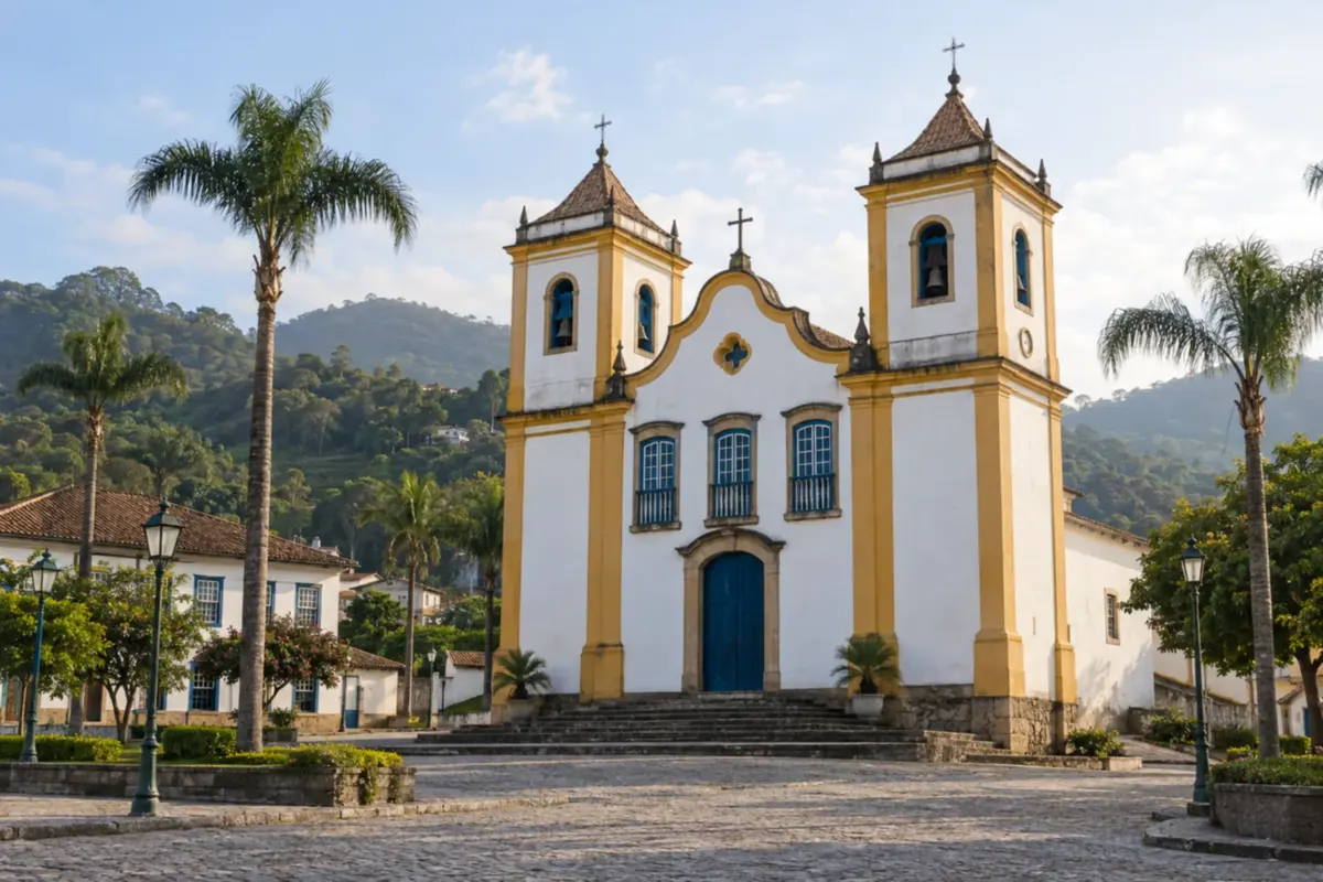
São José do Vale do Rio Preto is laid out between the river and the rural landscapes of the Rio de Janeiro mountains. Country roads let you discover rural life and traces of local history.
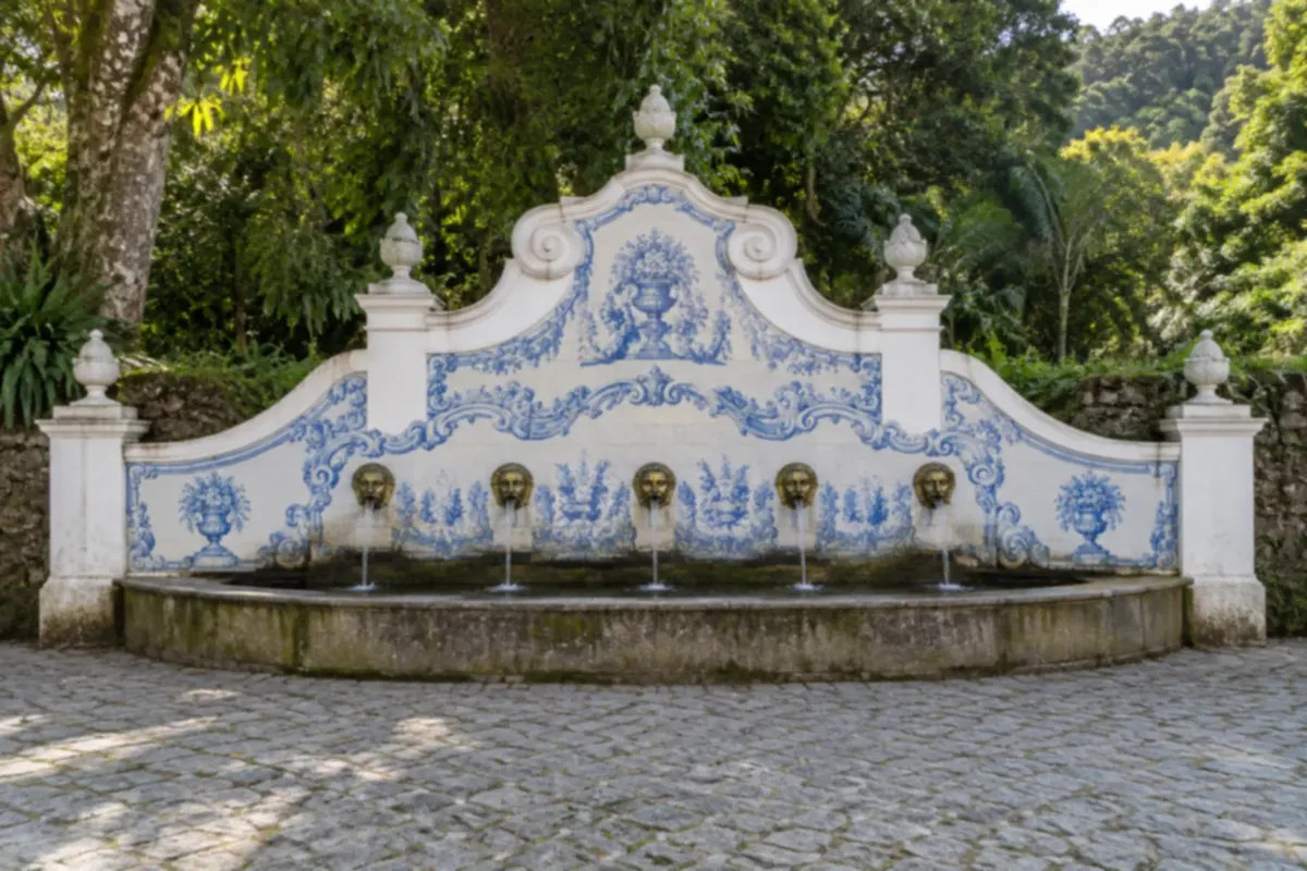
Teresópolis sits beside the mountains of the Serra dos Órgãos and is a base for exploring the Atlantic Forest. A stay combines nature walks with outings through its neighborhoods and mountain flavors.
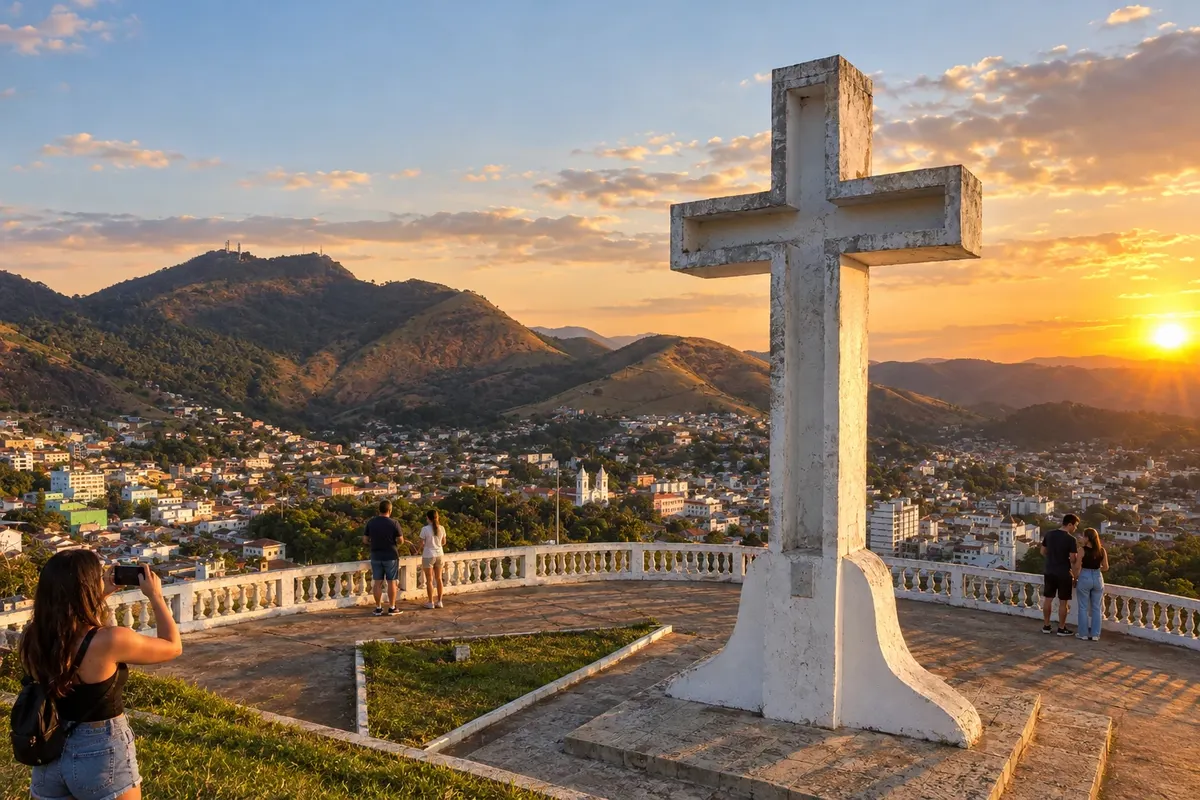
Valença brings together the Catedral de Nossa Senhora da Glória, Casa Léa Pentagna and the Mirante do Cruzeiro in the municipal seat. In Conservatória, a district of Valença, the Túnel que Chora and the serestas offer another part of the local history. The municipality combines religious heritage, cultural spaces and musical tradition across an area that calls for visits split between the municipal seat and the districts.
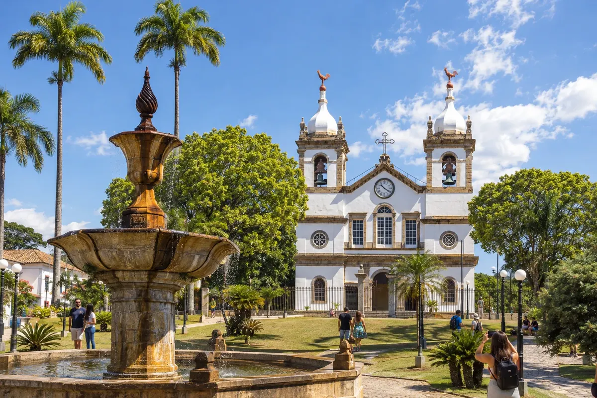
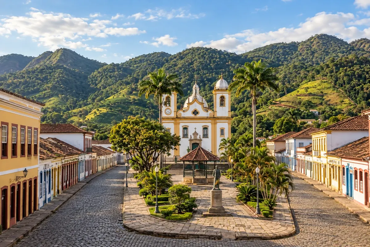
Vassouras has a historic center organized around Praça Barão de Campo Belo and the Matriz de Nossa Senhora da Conceição. The Museu Casa da Hera preserves the residence of Eufrásia Teixeira Leite, and the Memorial Manuel Congo commemorates the resistance to slavery. The town is a visiting hub of the Vale do Café, with museums, historic houses and farms in the surrounding area.
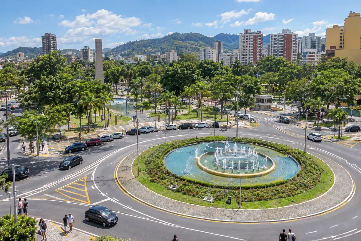
Volta Redonda is an industrial city formed around the Companhia Siderúrgica Nacional and its worker neighborhoods. Praça Brasil and the Memorial IX de Novembro, in Vila Santa Cecília, present the memory of labor and social conflicts. The Igreja de Santa Cecília and the chimney of the former mill add religious references and to a period prior to the steel industry.
Routes
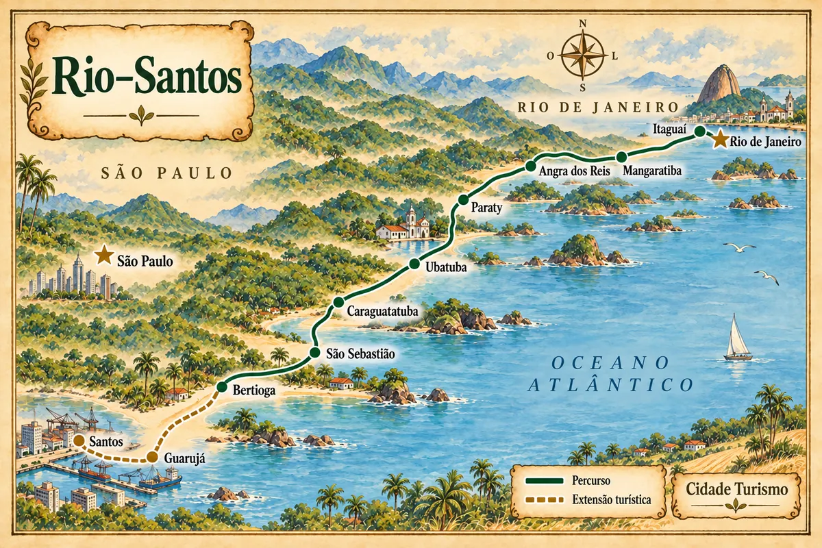
From the Costa Verde to the São Paulo coast, with beaches, heritage and an extension via Guarujá to Santos.
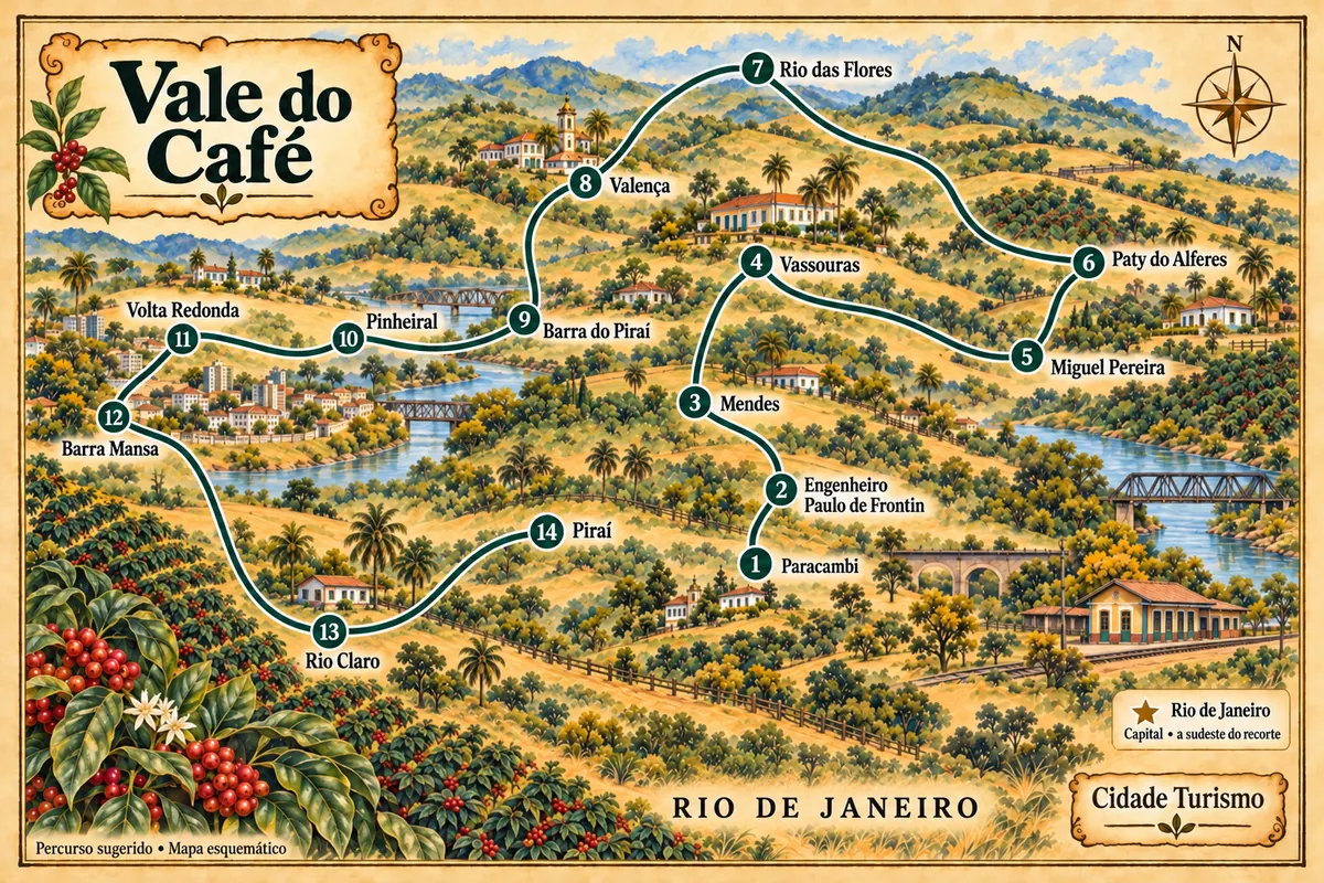
A route through 14 municipalities in the state of Rio de Janeiro, among historic farms, museums, memories of the railways and the heritage of the towns of the Médio Paraíba.
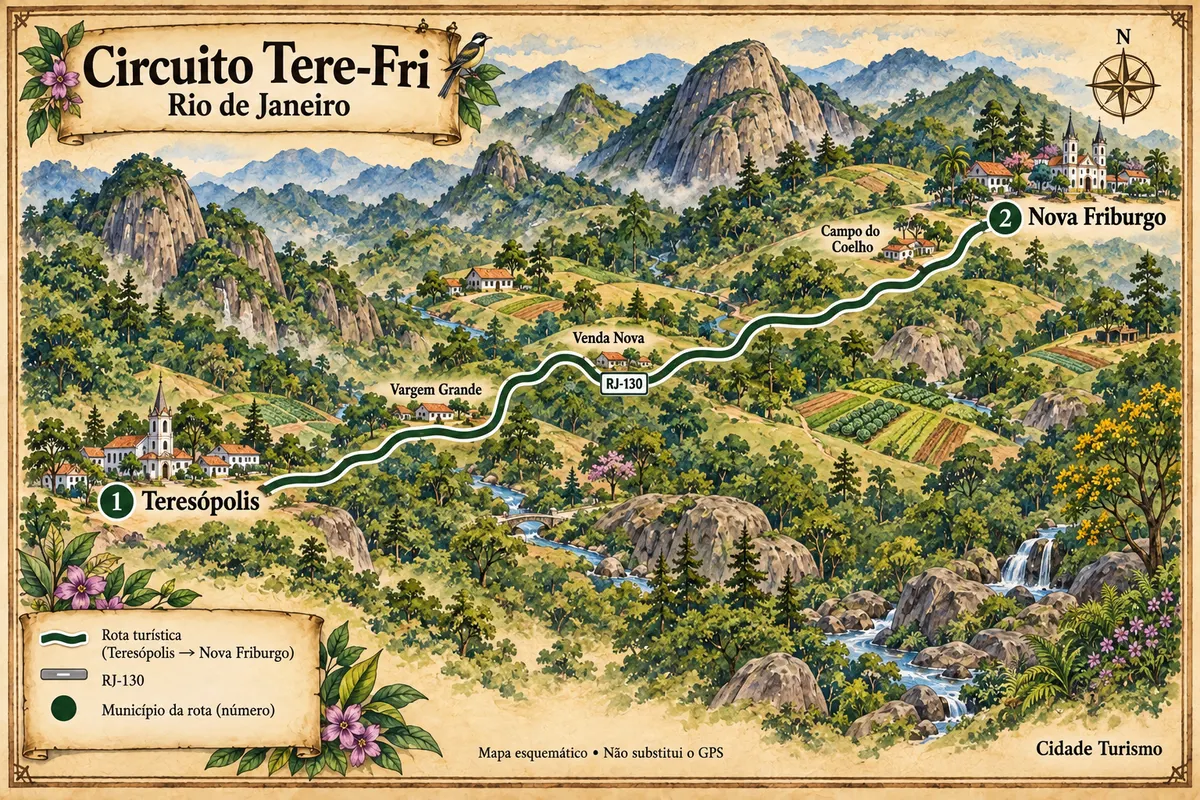
Teresópolis and Nova Friburgo connected by the RJ-130, passing through agricultural valleys, Atlantic Forest and mountains of the Mountain Region.
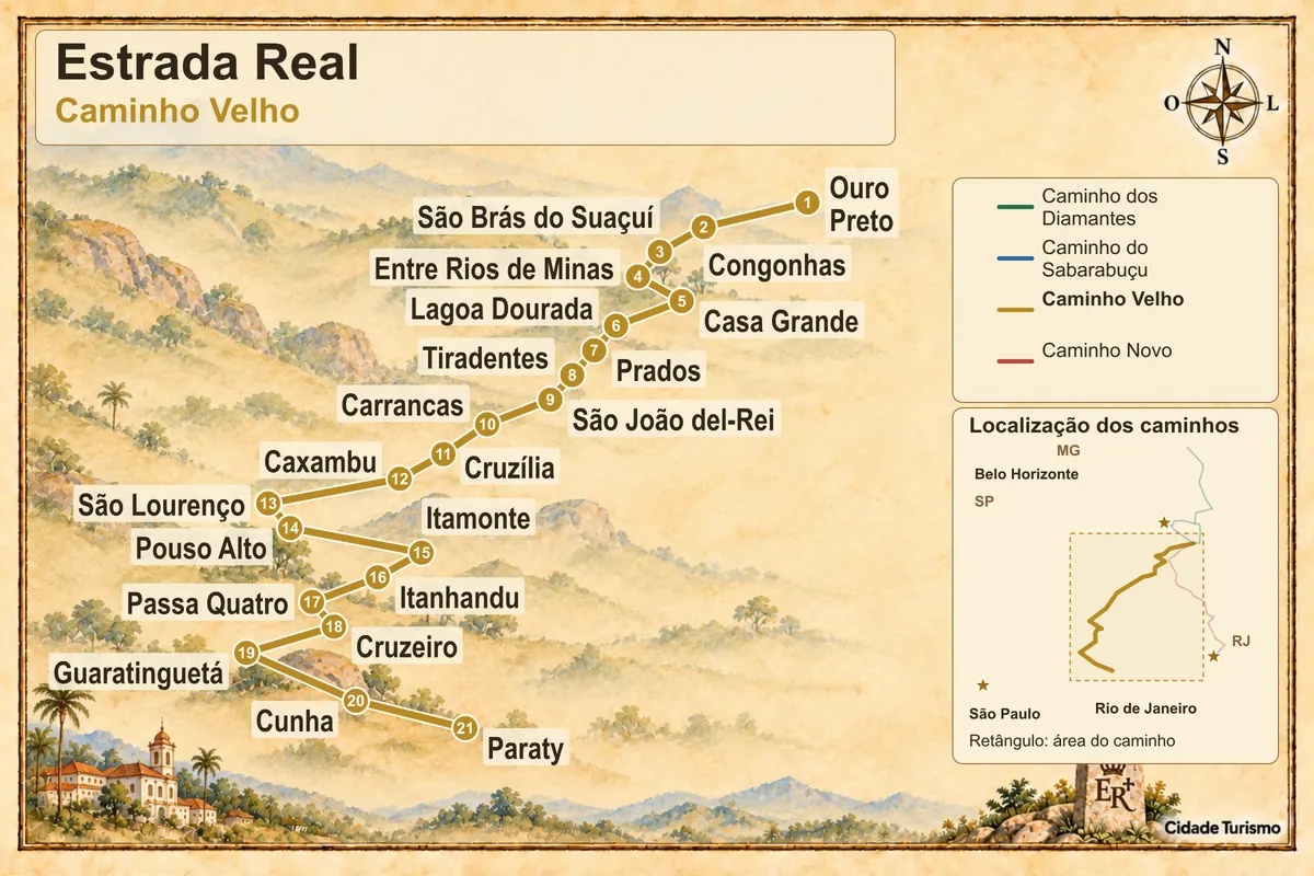
From Ouro Preto to Paraty, the oldest route of the Estrada Real passes through historic towns, mineral-water spa towns, and the Mantiqueira mountain range.
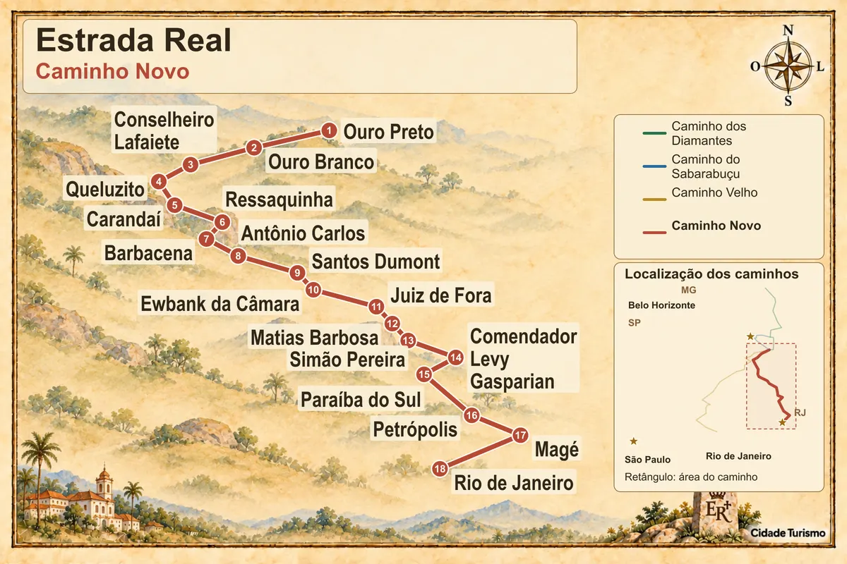
Between the mines and Guanabara Bay, the Caminho Novo connects Ouro Preto to Porto Estrela and is historically completed in Rio de Janeiro.
Rio's summer is hot and humid, with afternoon showers and storms that close mountain trails and roads. From December until Carnaval, beaches and hotels are full along the coast. From May to September there is less rain: the coast becomes mild and the mountains cool down, with frost at the top of Itatiaia. The Região dos Lagos receives little rain year-round. In Paraty, the Festa do Divino coincides with Pentecost, and the Flip changes dates each edition.
Rio de Janeiro–Galeão/Antônio Carlos Jobim International Airport is on Ilha do Governador; Santos Dumont, in the Centro, handles domestic flights. The Via Dutra, BR-116, links Rio to São Paulo via the Vale do Paraíba and passes through Resende and Itatiaia. BR-040 climbs to Petrópolis and continues toward Minas; BR-116 also goes to Teresópolis. BR-101 runs along the Costa Verde to Paraty and, crossing the Ponte Rio–Niterói, reaches the Via Lagos, RJ-124, toward the Região dos Lagos. Ferries connect downtown Rio to Niterói, and Ilha Grande is accessible only by boat from Angra dos Reis and Mangaratiba.
Your questions
The Trem do Corcovado departs from Cosme Velho station. There are official vans boarding at Largo do Machado, in Copacabana, in Barra da Tijuca and at the Paineiras Visitors' Center. It's also possible to hike up via the trail in Parque Nacional da Tijuca or with park-accredited guides, identified by a badge bearing the ICMBio seal. Before you go, check the park's notices about works and visitor limits at the summit.
No. Private cars do not circulate on the island. Leave your car in a mainland parking area and board from Angra dos Reis or Mangaratiba. On the island, travel between beaches is done on foot, via trails, or by boat.
Because of upwelling: at certain times the wind pushes surface water away and brings up deep, cold, nutrient-rich water. That makes the sea clear and full of life, which explains the area's reputation for diving.
Armação dos Búzios has more restaurants, nightlife and calm-sea beaches near its center. Arraial do Cabo is smaller and more focused on the sea: boat trips, diving and white-sand beaches. The two are close enough to visit one from the other.
No. It's about 30 km on mountain trails inside the Parque Nacional da Serra dos Órgãos, generally done in three days, with rocky sections and sudden weather changes. It requires physical preparation, cold- and rain-proof equipment and scheduling with the park. Those without experience should go with an accredited guide.
Penedo and Visconde de Mauá concentrate pousadas and restaurants. Penedo is near the Via Dutra and serves as a base for the lower part of Parque Nacional do Itatiaia. Visconde de Mauá is more isolated, on a mountain road, and has its own waterfalls and valleys.
Mapa: @svg-maps/brazil, CC BY 4.0
Beyond the guide