
 Brazil
 Antarctica
 Argentina
 Bolivia
 Chile
 Colombia
 Ecuador
 Guyana
 French Guiana
 Falkland Islands (Malvinas)
 Paraguay
 Peru
 Suriname
 Uruguay
 Venezuela
 Germany
 Austria
 Belgium
 Croatia
 Denmark
 Slovakia
 Slovenia
 Spain
 Finland
 Greece
 the Netherlands
 Hungary
 Ireland
 Iceland
 Luxembourg
 Norway
 Poland
 Portugal
 the Czech Republic
 Sweden
 Turkey
 Bermuda
 Canada
 the United States
 Greenland
 Mexico
 Saint Pierre and Miquelon
 the Dominican Republic
 Japan
 South Africa
 Egypt
 Australia
 Fiji
 New Zealand
 Papua New Guinea
Cross-border route · Europe
Via Francigena on foot: from Canterbury to Rome
The ancient pilgrims’ route to Rome: from Canterbury Cathedral, through France and Switzerland, over the Alps via the Great St Bernard Pass and through Tuscany to St. Peter’s Square.
 the United Kingdom
 France
 Switzerland
 Italy
9 cities 4 countries
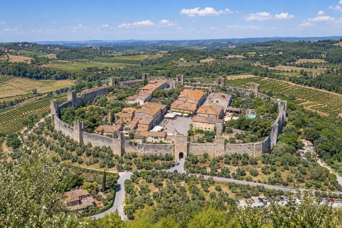
In the photo: Walled village of Monteriggioni
Illustrative images. The pictures in this guide are illustrations based on the real place, not photographs, and may differ from it.

The route
What the Via Francigena on foot: from Canterbury to Rome is
The Via Francigena follows the route described by Archbishop Sigeric, who in 990 returned from Rome to Canterbury recording his stops. Today it is a Cultural Route of the Council of Europe and links Canterbury Cathedral, in England, to Rome, at about 1,800 to 2,000 km depending on the source and the route variant, crossing four countries: the United Kingdom, France, Switzerland and Italy.
After crossing the English Channel between Dover and Calais, the route crosses northern France via Arras and Reims, descends through the Champagne region and Franche-Comté to Besançon, enters Switzerland via the Jura and reaches Lake Léman at Lausanne. It climbs the Rhône Valley and crosses the Alps at the Great St Bernard Pass, at 2,469 meters, down to Aosta in Italy. From there it crosses the Po Plain, the Apennines and Tuscany, through Lucca, San Gimignano and Siena, and the Lazio region, to Rome.
Few people walk the entire route at once, which takes about three months. Most do a section, and the most popular parts are in Italy: from Lucca to Siena across Tuscany, and from Siena to Rome via the Val d'Orcia and Lake Bolsena. Those who walk at least the last 100 km into Rome can request the Testimonium, the pilgrimage certificate.
The map
9 cities in 4 countries
Outlines: Natural Earth, public domain. Adapted by Cidade Turismo.
The journey
City by city
Distances and times are approximate: check before you set off.
-
 1 · the United Kingdom
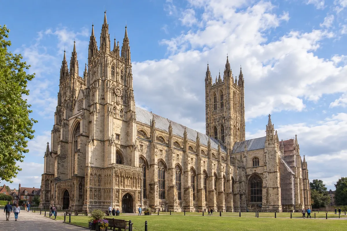
Canterbury
O caminho começa na catedral de Canterbury, sede da Igreja anglicana e Patrimônio Mundial. A pedra do quilômetro zero fica ao lado da catedral. A primeira etapa vai até Dover, onde a balsa atravessa o canal da Mancha até Calais, na França.
→ Reims cerca de 3 semanas a pé Canterbury–Dover a pé, balsa Dover–Calais e, na França, Wisques, Arras, Péronne, Laon e Reims, por campos de trigo e cemitérios da Primeira Guerra.
-
 2 · France
Reims
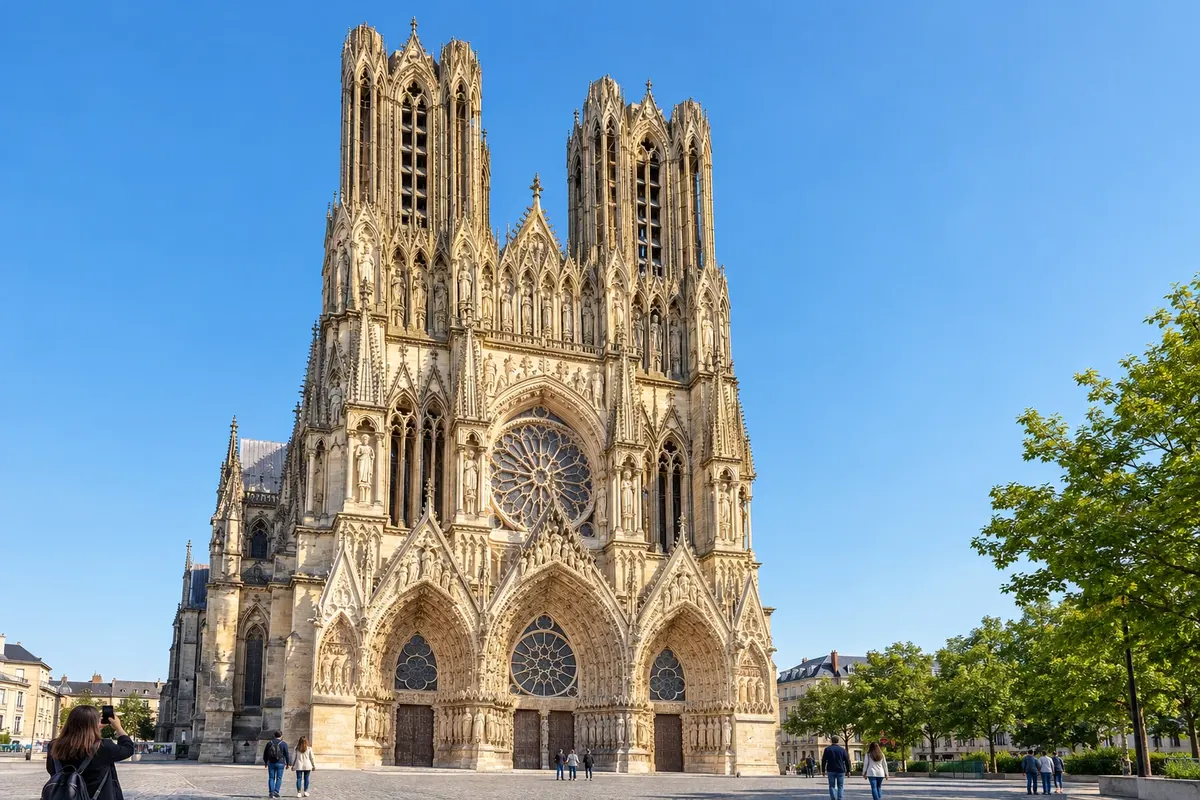
After Calais, Wisques, Arras, Péronne and Laon, the route reaches Reims in the Champagne region. The Notre-Dame cathedral, where the kings of France were crowned, and the champagne cellars are the main sights. From here the route continues via Châlons-en-Champagne and Langres.
→ Besançon cerca de 2 a 3 semanas a pé Por Châlons-en-Champagne, Bar-sur-Aube, Langres e Champlitte, entre vinhedos de champanhe e planaltos.
-
 3 · France
Besançon
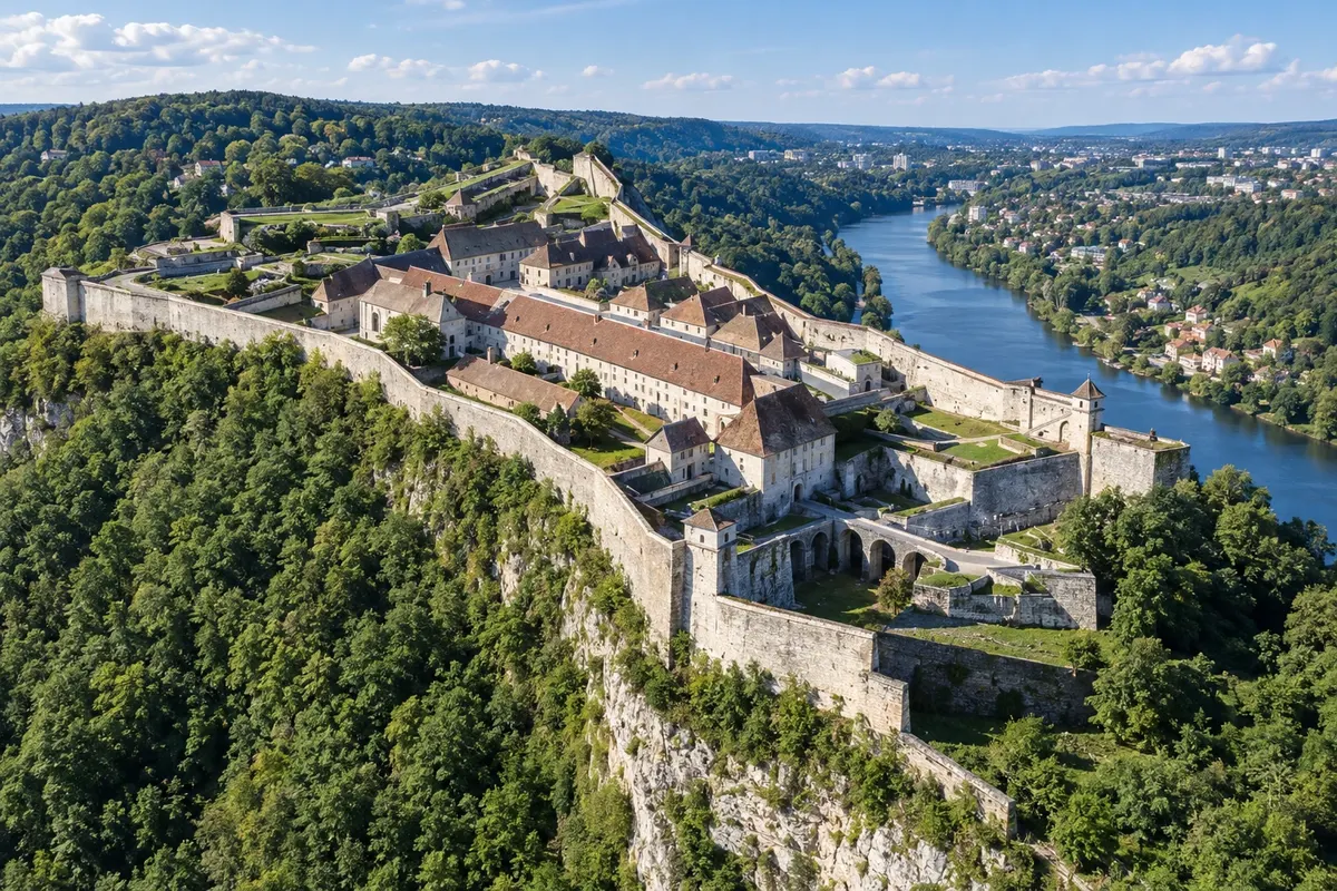
Besançon sits on a bend of the Doubs river, with Vauban's citadel above it, a World Heritage Site, and a centre of stone buildings. After the town, the route climbs the Jura mountains to Pontarlier and crosses the border into Switzerland.
→ Lausanne cerca de 1 semana a pé Pelas montanhas do Jura, Pontarlier, a fronteira suíça em Jougne, Orbe e Lausanne.
-
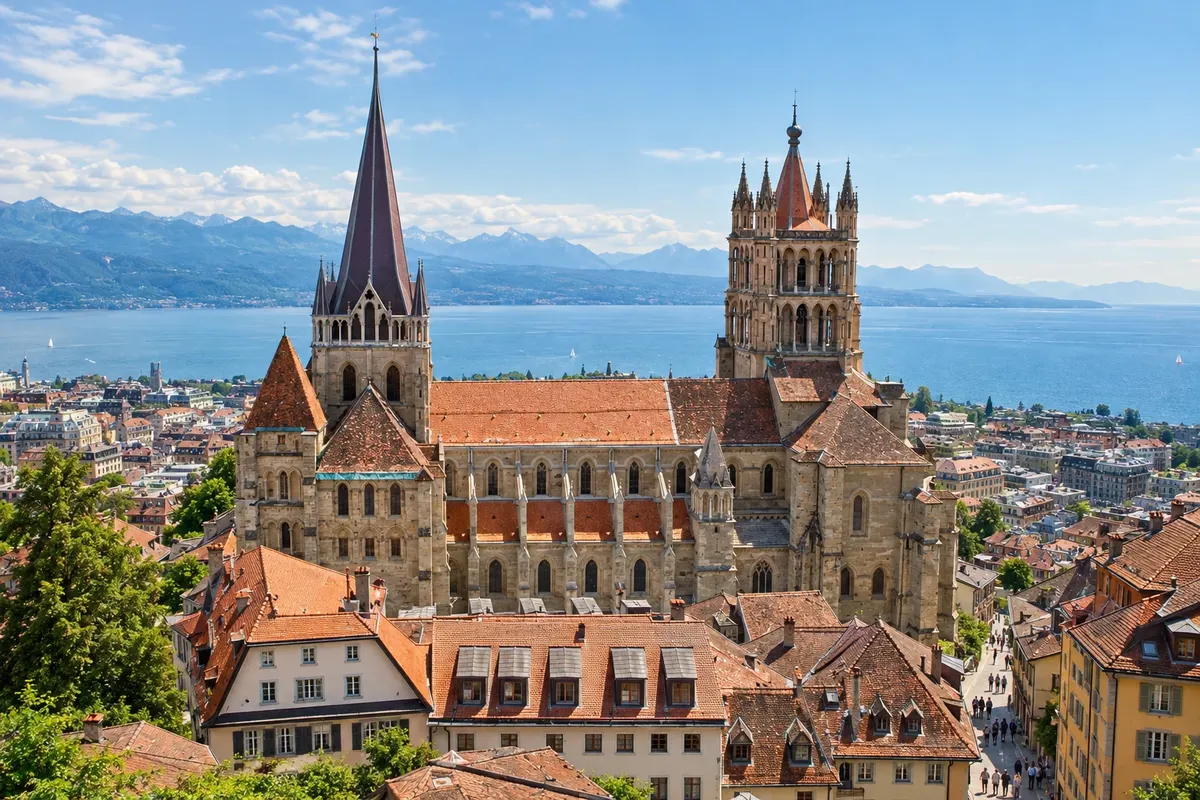 4 · Switzerland
Lausanne
After Orbe, the route reaches Lausanne on the shores of Lake Léman, with the Gothic cathedral above the old town. It follows the lakeshore via Vevey and Montreux, climbs the Rhône valley via Saint-Maurice and Martigny and begins the Alpine ascent.
→ Aosta cerca de 1 semana a pé Pela margem do lago Léman (Vevey e Montreux), o vale do Ródano (Saint-Maurice e Martigny), Bourg-Saint-Pierre, o passo do Grande São Bernardo e a descida a Aosta.
-
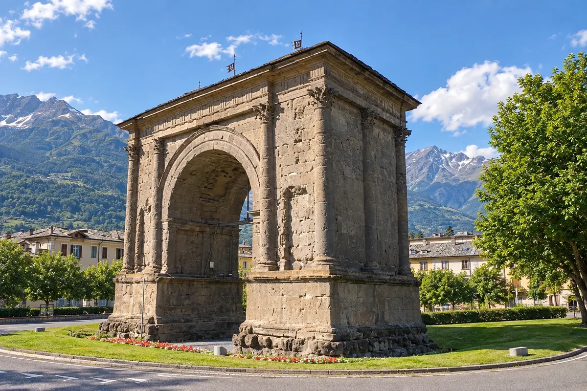 5 · Italy
Aosta
After Bourg-Saint-Pierre and the Grande São Bernardo pass at 2,469 metres, with the canons' hospice, the route descends to Aosta, the first Italian town. Aosta preserves the Porta Pretoria, the Arch of Augustus and the Roman theatre. From there the route continues via Ivrea, Vercelli, Pavia, Piacenza and across the Apennines.
→ Lucca cerca de 4 semanas a pé Pelo vale de Aosta, Ivrea, Vercelli, Pavia e Piacenza, na planície do Pó, Fidenza, o passo da Cisa nos Apeninos, Pontremoli, Sarzana e Camaiore.
-
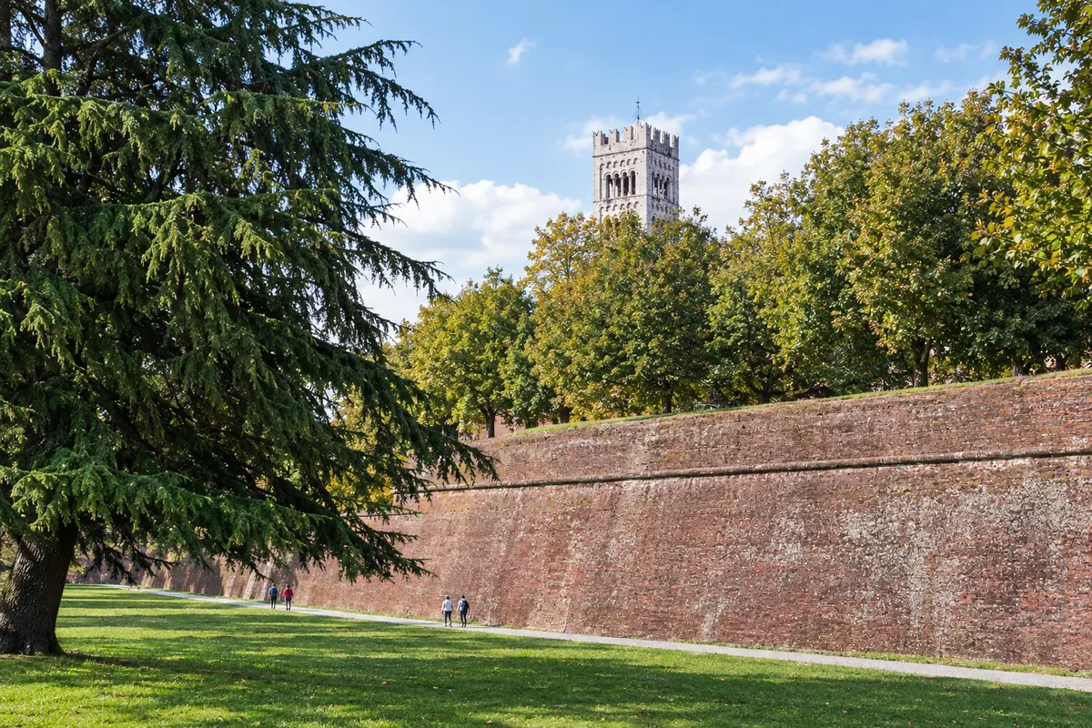 6 · Italy
Lucca
After the Cisa pass, Pontremoli and the Ligurian coast, the route reaches Lucca, surrounded by walls that have been turned into a treelined promenade. It is the most common starting point for the Tuscan section, which continues via Altopascio, San Miniato and Gambassi Terme.
→ San Gimignano about 4 days on foot Por Altopascio, San Miniato e Gambassi Terme, entre colinas da Toscana e estradas de terra.
-
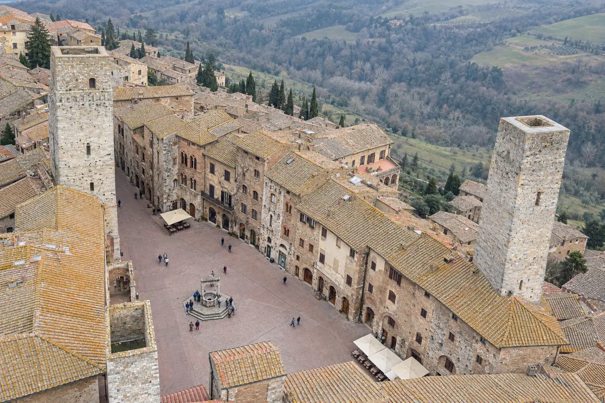 7 · Italy
San Gimignano
San Gimignano is the town of medieval towers, atop a hill among vineyards. From here the route continues via Colle di Val d'Elsa and the walled village of Monteriggioni to Siena.
→ Siena cerca de 1 a 2 dias a pé Por Colle di Val d'Elsa e Monteriggioni, entre bosques e vinhedos.
-
 8 · Italy
Siena
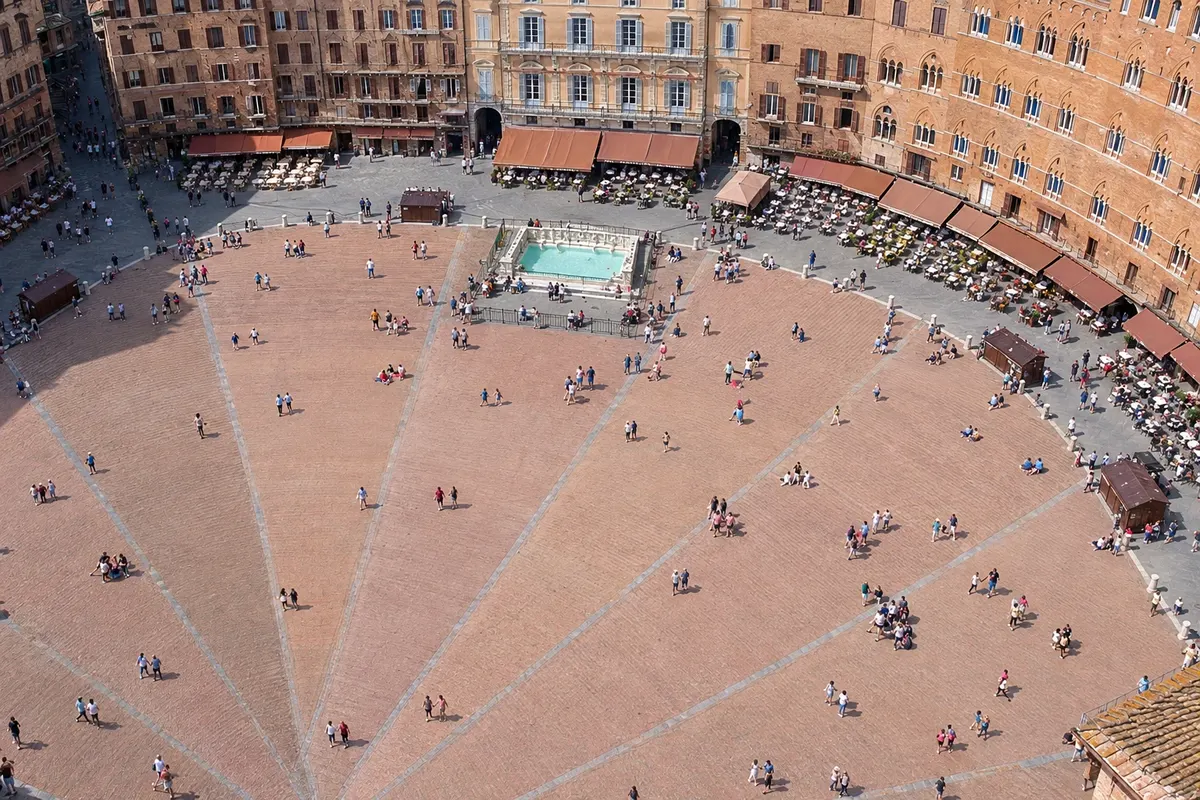
Siena has the Piazza del Campo, where the Palio runs, the striped marble cathedral and medieval streets on the slope. After Siena, the route crosses the Val d'Orcia via San Quirico d'Orcia and Radicofani and enters the Lácio.
→ Rome cerca de 2 semanas a pé Pelo Val d'Orcia (Ponte d'Arbia, San Quirico d'Orcia, Radicofani), Acquapendente, o lago de Bolsena, Montefiascone, Viterbo, Vetralla, Sutri, Campagnano di Roma e La Storta até a praça de São Pedro. De Viterbo a Roma são os últimos cerca de 100 km.
-
 9 · Italy
Rome
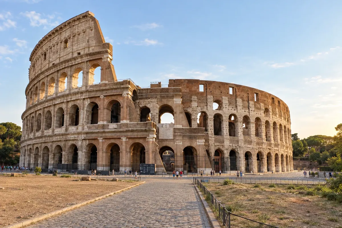
After Acquapendente, Bolsena, Montefiascone, Viterbo, Sutri and La Storta, the route enters Roma via Monte Mario and ends at São Pedro Square, where the Testimonium is requested.
How to travel
The way and the tickets
On foot, in stages of 15 to 30 km, following signs with a pilgrim symbol and, in Itália, the white-and-red waymarks. It can also be done by bicycle, with a dedicated route for parts of the way. Many do the route in sections, on different trips, returning to the point where they stopped.
The pilgrim credential is the travel document, issued by the European Association of the Via Francigena and by tourist offices, churches, hostels, and associations. Get it stamped along the route, with the date, at places where you sleep, at churches, and at tourist offices. In many hostels and accommodations on the route, the credential grants access to pilgrim reception.
On arrival in Rome, the Testimonium is given to those who completed at least the last 100 km on foot, or 200 km by bicycle, and who show the stamped credential. It is usually collected at the welcome point by St. Peter’s Basilica: confirm the location and opening hours beforehand.
The route is waymarked with signs showing the silhouette of a pilgrim and, in Italy, with white and red marks. The infrastructure is smaller than on the Camino de Santiago: in France and Switzerland there are sections with few hostels, so it’s wise to reserve accommodation. In Tuscany and Lazio there are more options, from parish hostels to guesthouses.
From one country to the next
The borders along the way
Documents, currency, language and phone service change from one side to the other. Entry requirements can change: check before you travel.
United Kingdom → France
On the English Channel, by ferry between Dover and Calais
The United Kingdom is not in the Schengen area: there is passport control at the port of Dover, carried out by French authorities before boarding. Not all ferries accept foot passengers: check in advance. The currency changes from the pound to the euro, and the clock moves forward one hour.
France → Switzerland
In the Jura mountains, between Pontarlier and Jougne
No fixed passport control: both countries are in the Schengen area. Switzerland is not part of the European Union, and customs checks may occur. The currency changes from the euro to the Swiss franc, and the language remains French.
Switzerland → Italy
At the Great St Bernard Pass, at 2,469 meters
No fixed passport control. The currency returns to the euro, and the language changes to Italian, although in the Aosta Valley French is also official. At the pass, the hospice of the canons of the Great St Bernard has been receiving pilgrims for centuries.
Day by day
Itineraries of 7 and 14 days
Suggestions to plan the trip. Change the order of the days to suit the schedules and ticket availability.
7 days · Tuscany, from Lucca to Siena
To For those with a week who want the most popular section.Day 1 · Lucca
Arrival, credential, and a walk on the city walls.
Day 2 · Lucca to Altopascio
Flat stage across the Lucca plain to Altopascio, an old pilgrims' stop.
Day 3 · Altopascio to San Miniato
Woodlands, crossing the Arno River, and the climb to San Miniato.
Day 4 · San Miniato to Gambassi Terme
Hills, dirt roads, and the church of Coiano.
Day 5 · Gambassi Terme to San Gimignano
Short stage, arriving at the towers of San Gimignano.
Day 6 · San Gimignano to Monteriggioni
Vineyards, Colle di Val d'Elsa, and the walled village of Monteriggioni.
Day 7 · Monteriggioni to Siena
Woodlands up to the entrance to Siena through Porta Camollia and the Piazza del Campo.
7 days · The last 100 km, from Viterbo to Rome
Day 1 · Viterbo
Arrival, credential, and the medieval quarter of San Pellegrino.
Day 2 · Viterbo to Vetralla
Along the ancient Via Cassia and through chestnut woodlands.
Day 3 · Vetralla to Sutri
Woodlands, hazelnuts, and Sutri’s rock-cut amphitheatre.
Day 4 · Sutri to Campagnano di Roma
Through Veio Park and the waterfalls of Monte Gelato.
Day 5 · Campagnano to La Storta
Open countryside and arrival on the outskirts of Rome.
Day 6 · La Storta to Rome
Via Monte Mario, with the first view of St. Peter’s dome, up to St. Peter’s Square.
Day 7 · Rome
Testimonium, St. Peter’s Basilica, and the historic centre.
14 days · From Siena to Rome
Day 1 · Siena
Piazza del Campo, the cathedral, and the credential.
Day 2 · Siena to Ponte d'Arbia
Departure across the crete senesi, clay hills.
Day 3 · Ponte d'Arbia to San Quirico d'Orcia
Via Buonconvento and the entrance to the Val d'Orcia.
Day 4 · San Quirico to Radicofani
Bagno Vignoni, with the thermal pool in the square, and the climb to Radicofani.
Day 5 · Radicofani to Acquapendente
Long descent and entry into Lazio.
Day 6 · Acquapendente to Bolsena
Arrival at Lake Bolsena.
Day 7 · Bolsena to Montefiascone
Along the lake shore and the climb to Montefiascone.
Day 8 · Montefiascone to Viterbo
Along the ancient Via Cassia to Viterbo.
Day 9 · Viterbo to Vetralla
Start of the last 100 km.
Day 10 · Vetralla to Sutri
Woodlands and Sutri’s amphitheatre.
Day 11 · Sutri to Campagnano di Roma
Veio Park and Monte Gelato.
Day 12 · Campagnano to La Storta
Arrival on the outskirts of Rome.
Day 13 · La Storta to Rome
Monte Mario and St. Peter’s Square.
Day 14 · Rome
Testimonium and the historic centre.
Best time to go
When to go: month by month
May, June and September, with early October: good temperatures for walking in Tuscany and the Lácio. The crossing of the Grande São Bernardo on foot is usually only possible in summer, from late June to September, when the snow melts. July and August are very hot in Tuscany and the Lácio, with long exposed sections in the sun.
The seasons shown are the most usual ones; nature doesn't always follow the calendar.
January
Winter · Cold
Cold and rain in the north; snow in the Alps and the Jura. Few pilgrims and fewer places open to sleep.
February
Winter · Cold
Still cold. The Italian sections south of Siena are the easiest at this time.
March
Early spring
Days lengthen. Frequent rain and mud on dirt roads.
April
Spring · Easter
Green hills in Tuscany. At Easter, Rome gets very busy: book in advance.
May
Spring · Good for walking
Poppy fields, long days, and pleasant temperatures. One of the best months in Italy.
June
Early summer
Heat begins in Tuscany. By the end of the month, the trail over the Great St Bernard usually opens.
July
Summer · Hot · Palio
Very hot in Tuscany and Lazio; walk in the early morning. The Palio of Siena is usually held on July 2 and August 16. Good month for the Alps.
August
Summer · Hot
Strong heat in central Italy and some businesses closed around mid-month. In the Alps, hiking season.
September
End of summer · Grape harvest
Cooler temperatures and grape harvest in the hills. One of the best months for Tuscany. The Great St Bernard Pass trail usually closes at the end of the month.
October
Autumn · Colors
Good at the start of the month, with colorful vineyards and the olive harvest approaching.
November
Autumn · Rain
Rain, short days, and places to stay beginning to close.
December
Winter · Christmas
Cold and few pilgrims. Rome crowded near Christmas.
Planning
Planning the trip
How many days
The whole route takes about three months on foot. In Tuscany, from Lucca to Siena, about 6 days. The last 100 km, from Viterbo to Roma, about 5 to 6 days. By bicycle, the Italian section takes roughly two weeks.
Who it's for
For those who want a pilgrimage on foot ending in Roma, for those who enjoy walking among medieval villages, vineyards and Roman roads, and for those who prefer a route less crowded than the Camino de Santiago.
Before you go
Practical tips
Book where to sleep
The Via Francigena has fewer hostels than the Camino de Santiago. Book in advance, especially in France and Switzerland.
Break in your footwear beforehand
Wear the shoes or boots you’ll use on the route for a few weeks before traveling. New footwear is the most common cause of blisters.
Water and hat in Tuscany
Between the villages of Tuscany and Lazio there are long sunny stretches with few water points. Always carry water and sun protection.
Check the Great St Bernard
The pass trail is only safe without snow. Confirm conditions beforehand and, outside summer, cross by bus.
Get your credential stamped every time
In the last 100 km, have your credential stamped every day, with the date. Without the stamps, the Testimonium may be refused.
Do it in stages
Many pilgrims do the Via Francigena over several trips, one section per year. Keep your credential to continue from where you left off.
Your questions
Frequently asked questions about Via Francigena on foot: from Canterbury to Rome
Quantos quilômetros tem a Via Francígena?
De Canterbury a Roma, cerca de 1.800 a 2.000 km, conforme a fonte e as variantes do traçado. A parte italiana, do Grande São Bernardo a Roma, tem cerca de 945 km.
Qual o trecho mais procurado?
Tuscany, from Lucca to Siena, in about 6 days, and the section from Siena to Rome via the Val d'Orcia and Lake Bolsena. Those who want the Testimonium with the minimum distance usually start in Viterbo.
What is the Testimonium?
It is the certificate of the pilgrimage to Rome, given to those who walked at least the last 100 km, or cycled at least the last 200 km, and who show a stamped credential. It is usually collected at the welcome point by St. Peter’s Basilica: confirm beforehand where and at what times.
Where can you get the credential?
The pilgrim credential is issued by the European Association of the Via Francigena and by tourist offices, churches, hostels, and associations along the route in England, France, Switzerland, and Italy.
Can you cross the Great St Bernard on foot year-round?
No. The trail over the pass is usually free of snow only in summer, from late June to September. Outside that period, those following the route cross the Alps by bus through the tunnel. Check conditions beforehand.
Do you need to show a passport?
Yes, when leaving the United Kingdom, which is not in the Schengen area: border control is carried out at the port of Dover. Between France, Switzerland, and Italy there is no fixed passport control, but Switzerland is not part of the European Union and customs checks may occur.
Beyond the guide


