

 Antarctica
 Argentina
 Bolivia
 Chile
 Colombia
 Ecuador
 Guyana
 French Guiana
 Falkland Islands (Malvinas)
 Paraguay
 Peru
 Suriname
 Uruguay
 Venezuela
 Germany
 Austria
 Belgium
 Croatia
 Denmark
 Slovakia
 Slovenia
 Spain
 Finland
 France
 Greece
 the Netherlands
 Hungary
 Ireland
 Iceland
 Italy
 Luxembourg
 Norway
 Poland
 Portugal
 the United Kingdom
 the Czech Republic
 Sweden
 Switzerland
 Turkey
 Bermuda
 Canada
 the United States
 Greenland
 Mexico
 Saint Pierre and Miquelon
 the Dominican Republic
 Japan
 South Africa
 Egypt
 Australia
 Fiji
 New Zealand
 Papua New Guinea
Illustrative images. The pictures in this guide are illustrations based on the real place, not photographs, and may differ from it.



Sun and beach
River and lake beaches
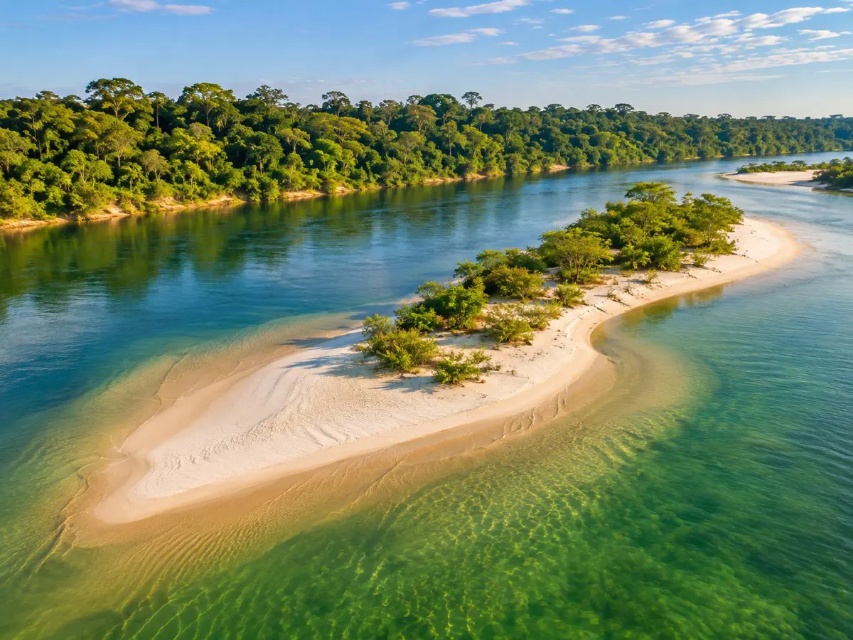
When river levels fall, white sand bars appear and freshwater without waves.
Not every Brazilian beach is on the coast. Far from the ocean, wide rivers and reservoir lakes form stretches of light sand and fresh water, without salt and without waves. The Ministry of Tourism includes these river and lake beaches in sun-and-beach tourism alongside sea beaches.
The main difference is the calendar. At the sea, the beach exists year-round. In many rivers, it only appears when the water level falls, and disappears again in high water.
What is a river beach
Large rivers in the North and Central-West carry sand and deposit it on the banks and on islands in the middle of the channel. During the high water the sand is submerged. When the water falls, the sandbanks emerge and form beaches that can stretch for hundreds of meters.
The water is fresh and usually warm. The color varies with the river: green and clear in the Tapajós, dark like tea in the Negro, muddy in stretches of the Tocantins and Araguaia. Swimming is similar to bathing in a large lagoon, with a sandy bottom and no surf.
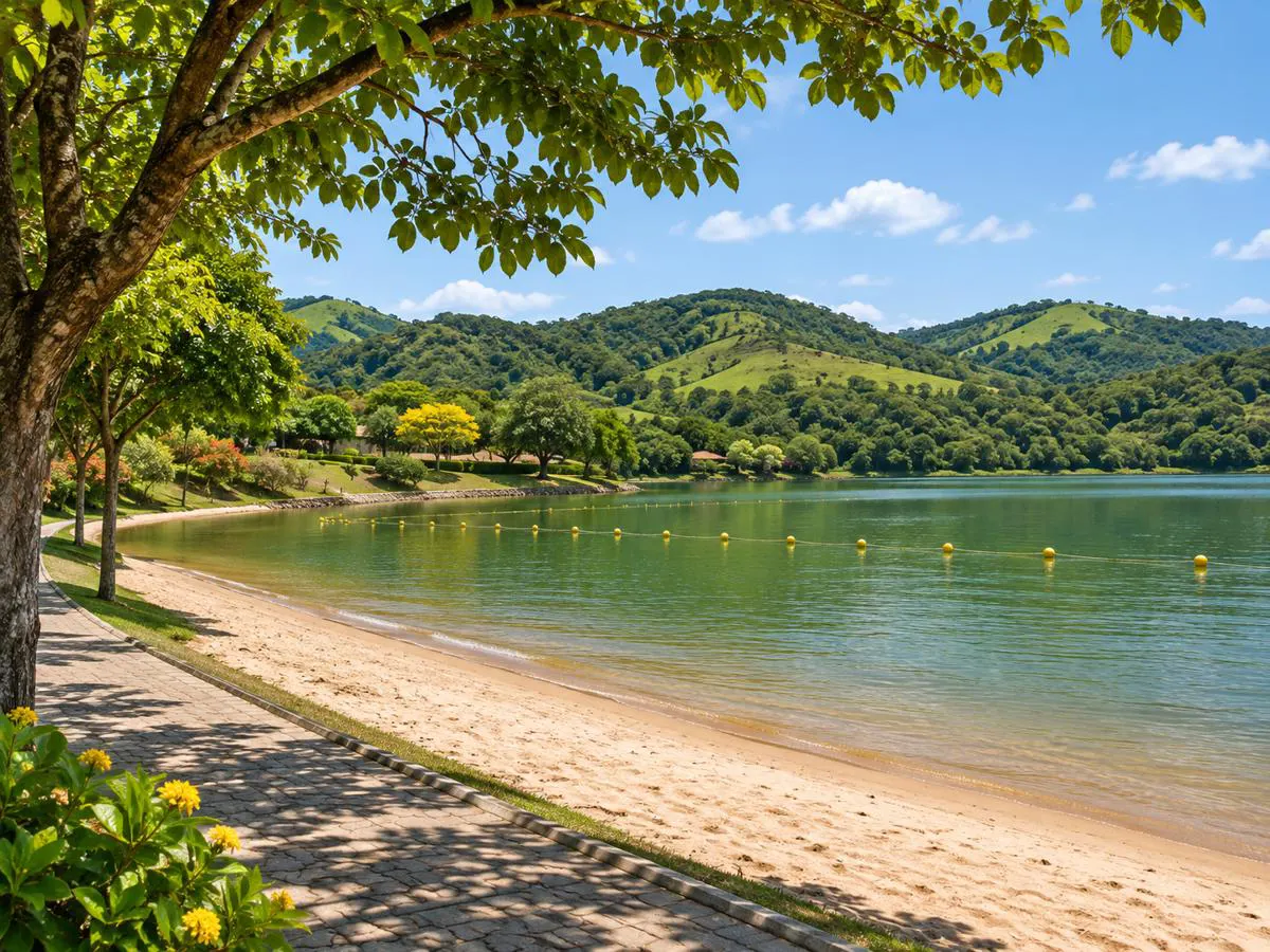
Lake beaches work differently. Formed in dams and reservoirs, they depend less on the season and more on the level maintained by the power plant. Many are inside cities, with promenades, kiosks and marked bathing areas.
When the beach appears
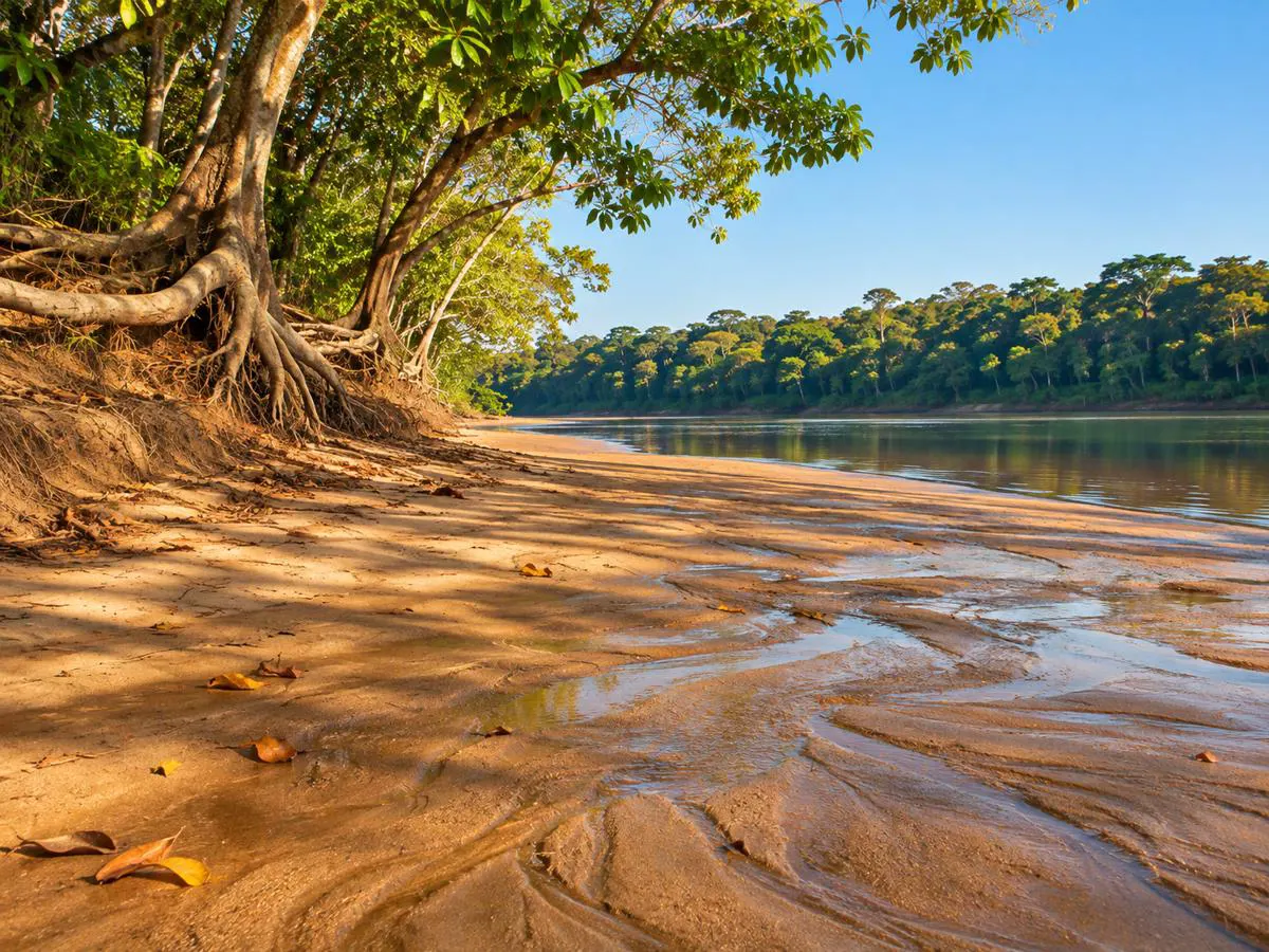
In Alter do Chão, Pará, the beach season generally runs from August to December, in the period locals call the Amazonian summer. That is when the Tapajós drops and the sand point in front of the village becomes exposed. From February to June, with rains and high water, the sand usually disappears and outings shift to the flooded forest.
On the Negro River, near Manaus, beaches also appear at low water, more common in the second half of the year. On the Araguaia and Tocantins, the dry season of central Brazil, from May to September, uncovers the sandbanks, and July is the busiest month.
River levels vary from year to year. Before confirming dates, it’s worth asking someone who lives at the destination how the water is that season.
Where the river and lake beaches are
In Pará, Alter do Chão, a district of Santarém, is the country’s best-known river beach, with white sand and the clear water of the Tapajós. In Belém, Mosqueiro Island has freshwater beaches with small waves, formed by the bay’s width. In Amazonas, Ponta Negra in Manaus is the urban beach on the Negro River.
In Tocantins, Palmas has beaches on the capital’s lake, with city infrastructure. Downriver, Miracema do Tocantins features the Funil and Paredão beaches, and Lajeado has its own along the reservoir’s shore. In Mato Grosso, São Félix do Araguaia receives bathers at Praia do Morro on the Araguaia River.
In Minas Gerais, Capitólio gathers small beaches on Furnas Lake, among stone canyons. The spots are on the map of this page.
Safety when swimming in rivers and lakes
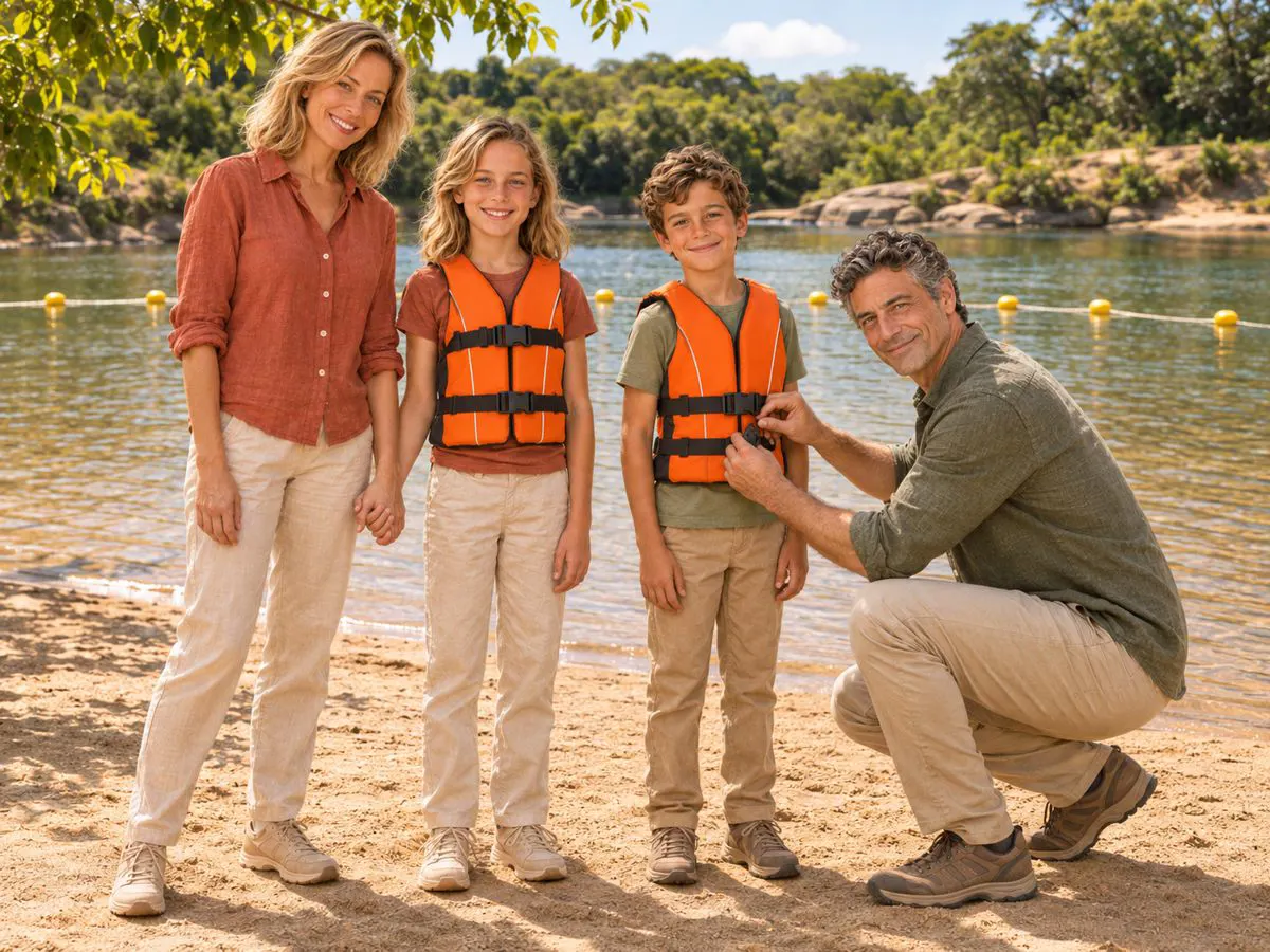
The river may look still, but it has current, and the bottom changes from one step to the next. Sandbanks end in deep channels. Swimming should stay in the area indicated by locals or marked by buoys, and children should remain in shallow water with an adult nearby.
In Amazon rivers and on the Araguaia, the local custom is to enter the water dragging your feet in the sand to scare away stingrays resting on the bottom. In reservoir lakes, the level can vary with the plant’s operation, and submerged logs require attention from divers.
Where lifeguards are present, follow their guidance over any general rule. Boats and personal watercraft circulate outside the bathing area; it’s advisable not to swim across the channel.
What the day is like and how to get there
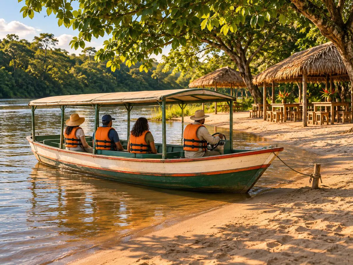
The day resembles a sea beach: palm-thatched tents on the sand, tables in the shallow water, river fish fried or grilled over coals. Tambaqui, peacock bass (tucunaré) and pirarucu take the place of sea fish.
Many beaches are reached by boat. In Alter do Chão, rowing canoes and small motorboats make the crossing to the sand point; in stretches of the Araguaia and Tocantins, boatmen take visitors to more distant banks. Arrange the return time before disembarking and check that the boat has life jackets for everyone.
The price of crossings and tours varies with distance, type of boat, group size and season. Shade is scarce on more isolated beaches: bring a hat, water and sunscreen in your bag.
Frequently asked questions
Where are river beaches in Brazil?
Mainly in the North and Central-West: on the Tapajós in Alter do Chão; on the Negro River in Manaus; on the Tocantins and Araguaia. There are also lake beaches in Palmas and in Capitólio on Furnas Lake.
When is it best to visit Alter do Chão?
To see the beaches, go from August to December, when the Tapajós usually runs low. From February to June, with high water, the sand tends to be submerged.
Why do river beaches disappear part of the year?
Because they depend on the water level. In high water the sandbanks are covered; in low water they reappear. It’s the natural cycle of Amazon and central Brazil rivers.
Do river beaches have waves?
Generally, no. The water is calm, like a lagoon. In very wide bays, such as Mosqueiro in Belém, the wind forms small waves.
What precautions should you take when swimming in a river?
Stay in the indicated bathing area, don’t cross channels, keep children in shallow water, and in rivers with stingrays enter dragging your feet on the sand. Where lifeguards are present, follow their instructions.
Is a lake beach good for children?
Usually yes, because of the wave-free water and nearby urban infrastructure. Choose stretches with marked bathing areas and watch the depth, which can increase suddenly.
When is the beach season on the Araguaia River?
In the dry season, from May to September, when the river falls and the sandbanks appear. July, a holiday month, concentrates the most movement.
Where to go: River and lake beaches
Pick a region or a state on the map, or type what you are looking for, to see the cities and who offers it in each.
-
Macapá AP
Balneário da Fazendinha.
-
Iranduba AM
Praia do Açutuba.
-
Manaus AM
Praia da Ponta Negra, às margens do rio Negro.
- Novo Airão AM
-
Belém PA
Praias de água doce da ilha de Mosqueiro.
-
Belterra PA
Praia de Aramanaí, Praia do Pindobal.
-
Ponta de Pedras PA
Praia Grande, Praia da Mangabeira.
-
Salvaterra PA
Praia Grande de Salvaterra, Praia de Água Boa.
-
Santarém PA
Praias de areia branca do rio Tapajós em Alter do Chão, que aparecem na vazante.
-
Soure PA
Praia do Pesqueiro.
-
Normandia RR
Lago Caracaranã.
- Mateiros TO
-
Novo Acordo TO
Praia dos Borges.
-
Palmas TO
Praias do lago de Palmas, com estrutura urbana.
-
Delmiro Gouveia AL
Beira de rio: Rio São Francisco.
-
Olho d'Água do Casado AL
Beira de rio: Rio São Francisco.
-
Piranhas AL
Beira de rio: Rio São Francisco.
-
Salvador BA
Lagoa do Abaeté.
-
Camocim CE
Beira de lago ou represa: Lagoa da Torta (Tatajuba).
-
Jijoca de Jericoacoara CE
Lagoa Azul, Lagoa do Paraíso.
-
Barreirinhas MA
Caburé, Lagoa Azul, Lagoa Bonita.
-
Primeira Cruz MA
Lagoa da Areia, Lagoa do Cassó.
-
Santo Amaro do Maranhão MA
Betânia, Lagoa da Andorinha, Lagoa das Emendadas.
-
Ipojuca PE
Beira de rio: Rio Maracaípe.
-
Ilha Grande PI
Beira de rio: Rio Parnaíba.
-
Parnaíba PI
Lagoa do Portinho.
-
Nísia Floresta RN
Lagoa de Arituba, Lagoa do Bonfim.
-
Aracaju SE
Croa do Goré.
-
Canindé de São Francisco SE
Beira de rio: Rio São Francisco.
-
Colinas do Sul GO
Lago de Serra da Mesa.
-
Bonito MS
Balneário Municipal.
-
Capitólio MG
Prainhas do lago de Furnas.
-
Lapinha da Serra MG
Lagoa da Lapinha.
-
Guapimirim RJ
Poço da Ponte Velha.
-
Itatiaia RJ
Lago Azul.
-
Itaipulândia PR
Balneário Jacutinga.
-
Jaguariaíva PR
Beira de rio: Rio Jaguariaíva.
-
Santa Terezinha de Itaipu PR
Terminal Turístico Alvorada de Itaipu.
-
São Miguel do Iguaçu PR
Terminal Turístico de Balneário Ipiranga.
-
Florianópolis SC
Lagoa da Conceição.
More activities in Sun and beach




Beyond the guide


