


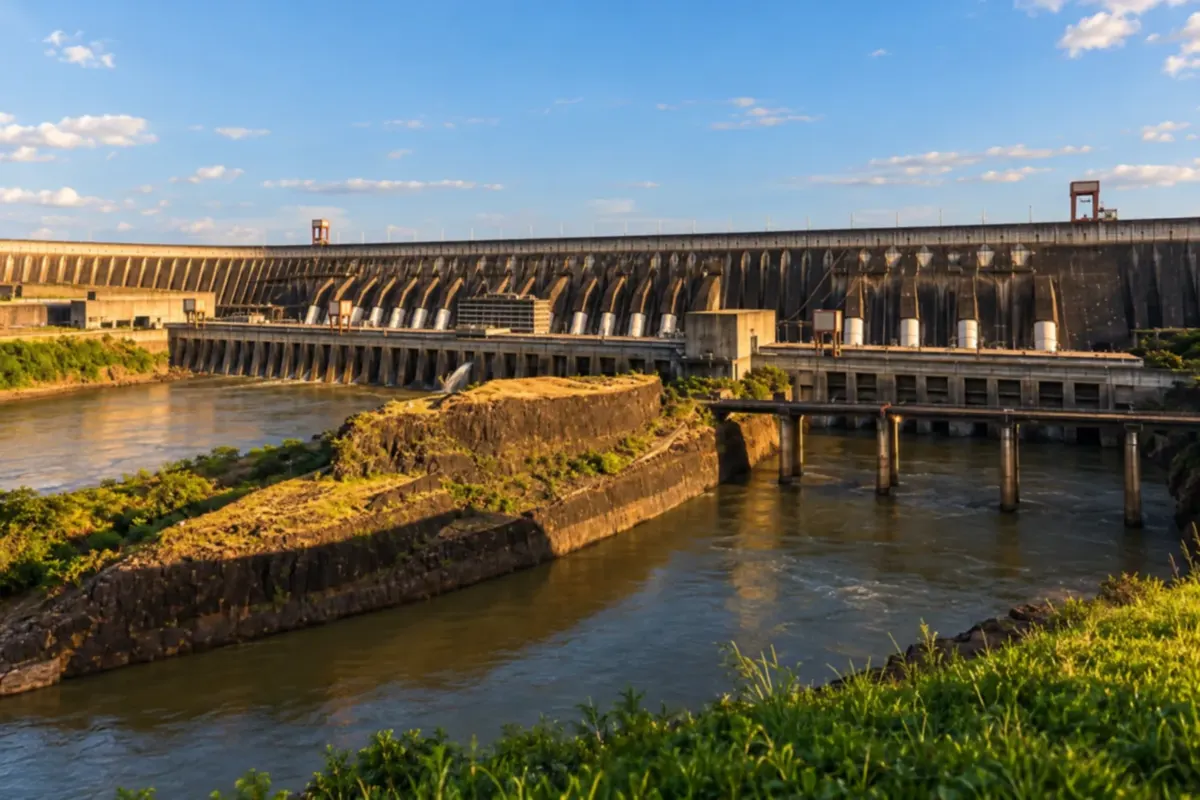
 Foz do Iguaçu, Brazil
 Search
Brazil
 Antarctica
 Argentina
 Bolivia
 Chile
 Colombia
 Ecuador
 Guyana
 French Guiana
 Falkland Islands (Malvinas)
 Paraguay
 Peru
 Suriname
 Uruguay
 Venezuela
 Germany
 Austria
 Belgium
 Croatia
 Denmark
 Slovakia
 Slovenia
 Spain
 Finland
 France
 Greece
 the Netherlands
 Hungary
 Ireland
 Iceland
 Italy
 Luxembourg
 Norway
 Poland
 Portugal
 the United Kingdom
 the Czech Republic
 Sweden
 Switzerland
 Turkey
 Bermuda
 Canada
 the United States
 Greenland
 Mexico
 Saint Pierre and Miquelon
 the Dominican RepublicTurkey
 South Africa
 Egypt
 Australia
 Fiji
 New Zealand
 Papua New Guinea
Illustrative images. The pictures in this guide are illustrations based on the real place, not photographs, and may differ from it.

Water, sun, wind, sea and the heat inside the Earth become electricity in power plants that lie on the route of many trips. How each source works and where to see it up close.
Tap a point on the map. Points with a white border are in Brazil. MW (megawatt) is the plant's capacity, the most it can generate.
Capacities: as reported by the plants and operators, rounded. Visits: nothing is guaranteed; confirm with each plant beforehand whether it takes visitors, on which days and under what rules. Map: Natural Earth.
Places in the guide related to this topic.
Foz do Iguaçu, Brazil
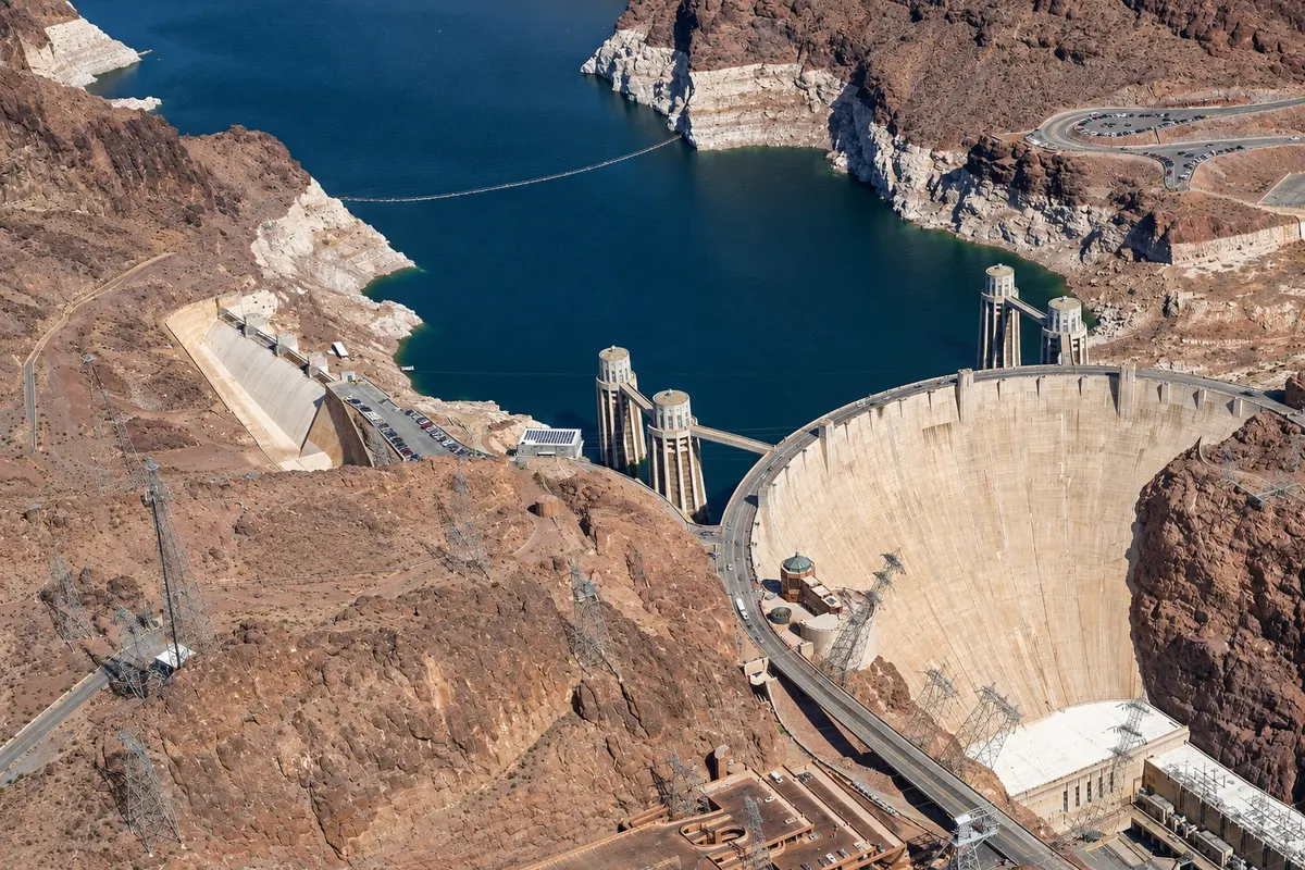 Boulder City, the United States
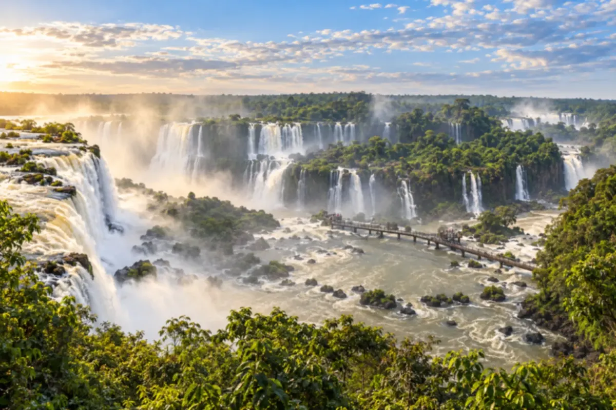 Brazil
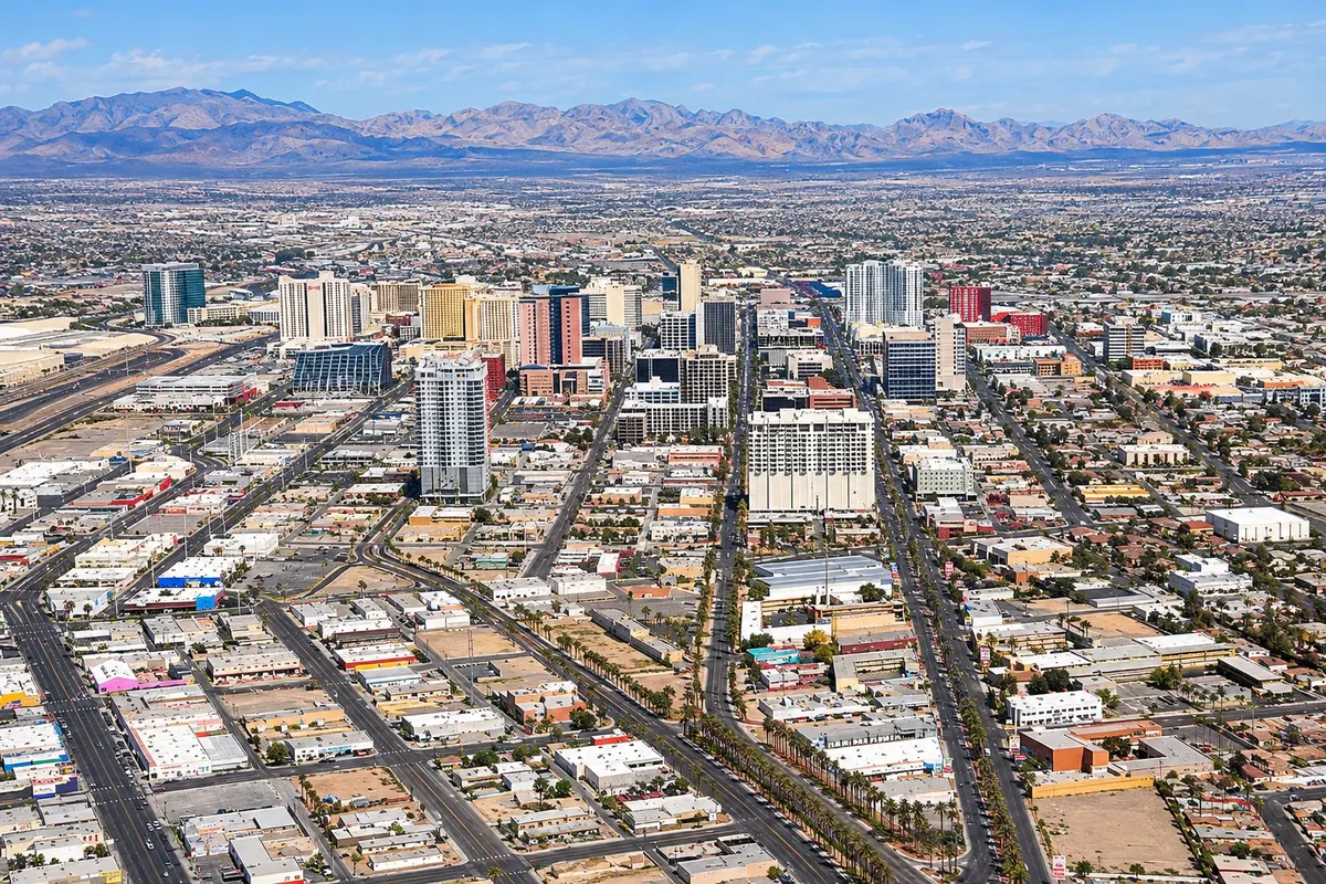 the United States
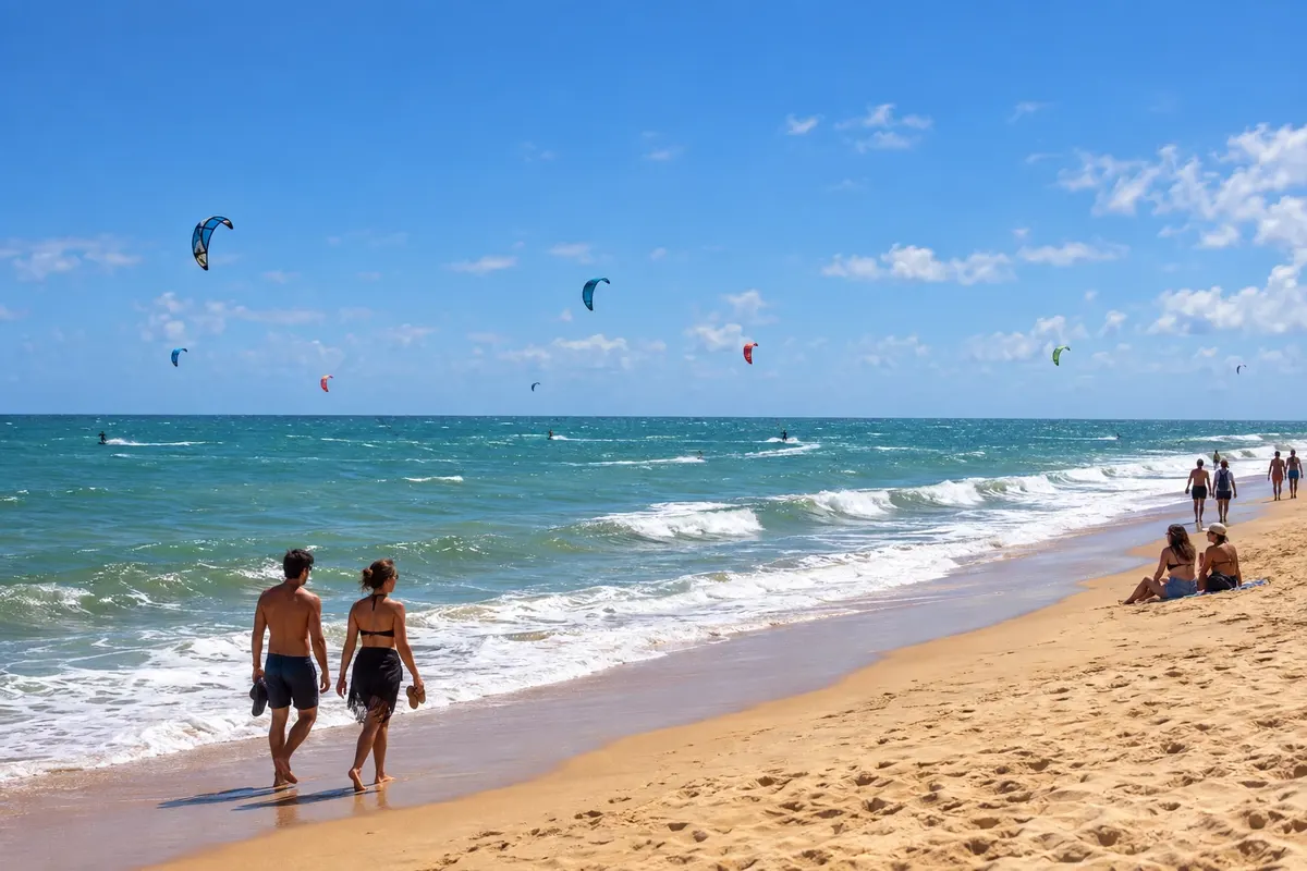 Brazil
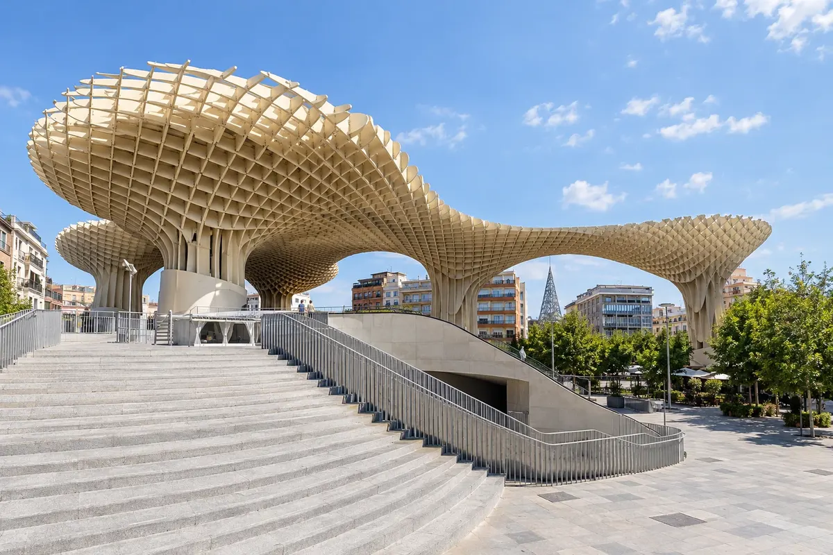 Spain
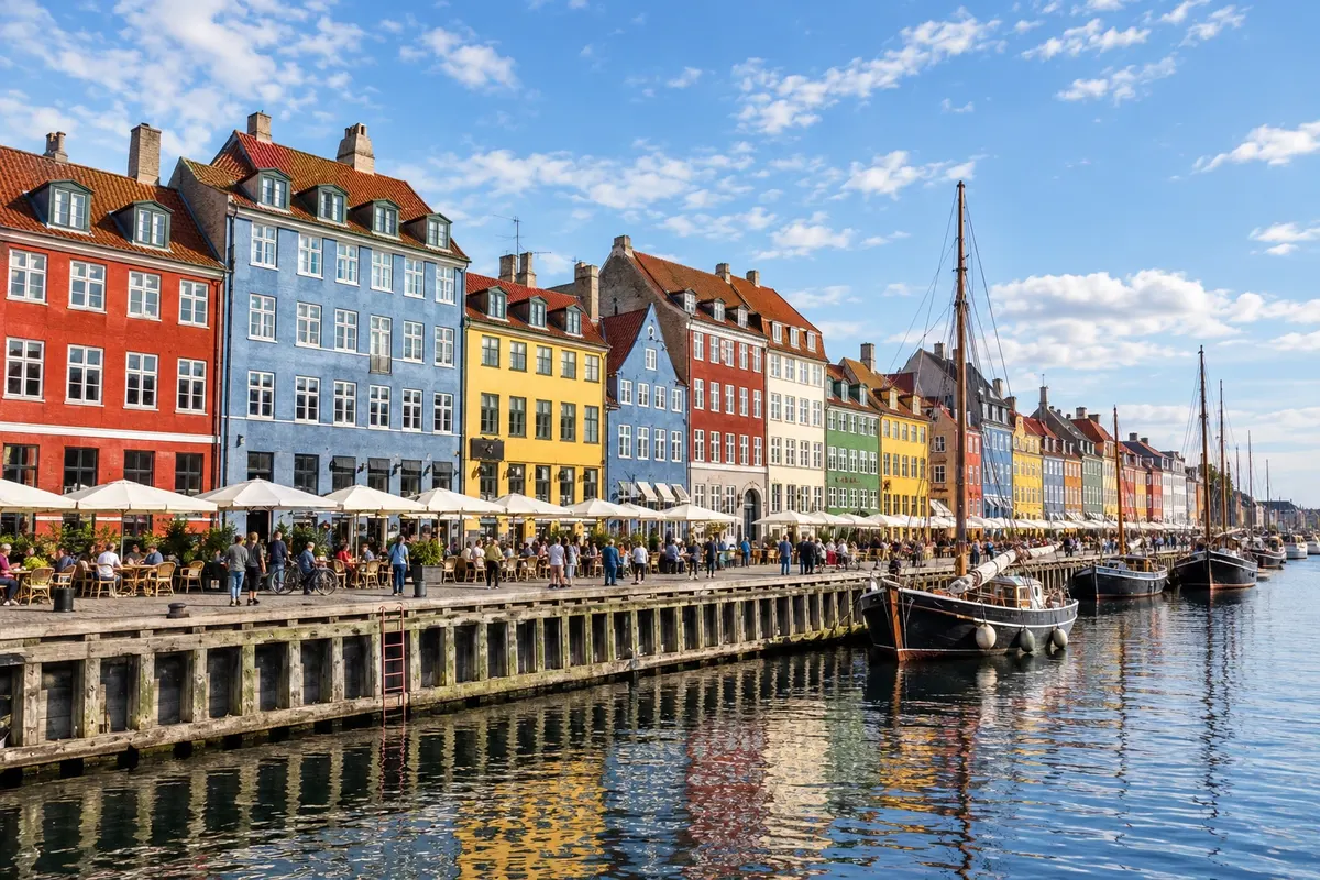 Denmark
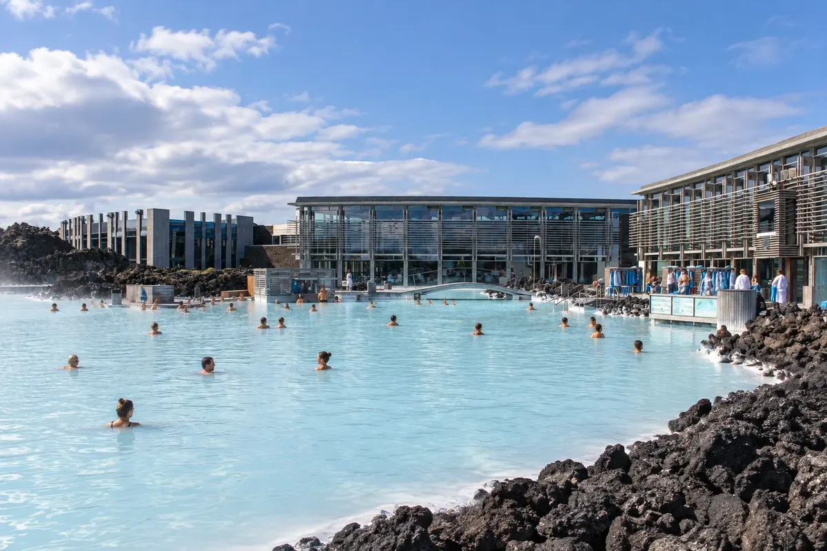 Keflavík, Iceland
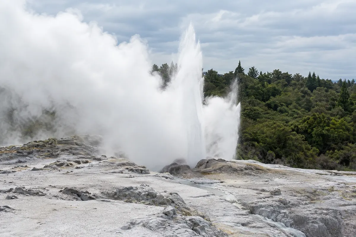 Rotorua, New Zealand
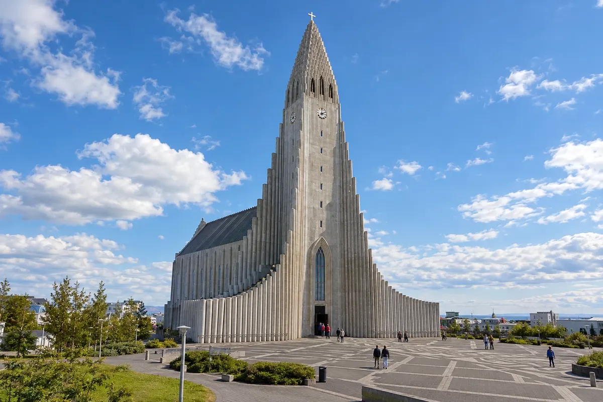 Iceland
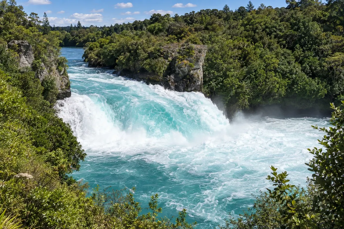 New Zealand
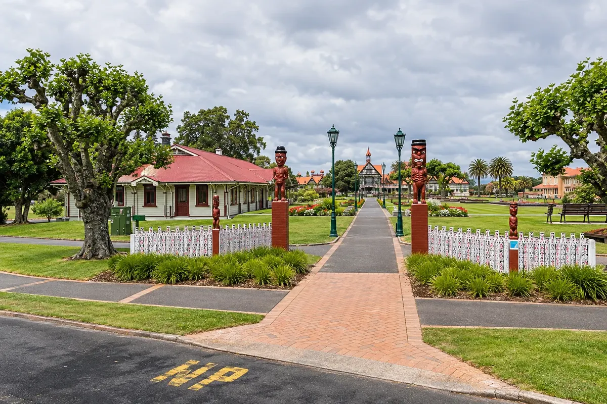 New Zealand
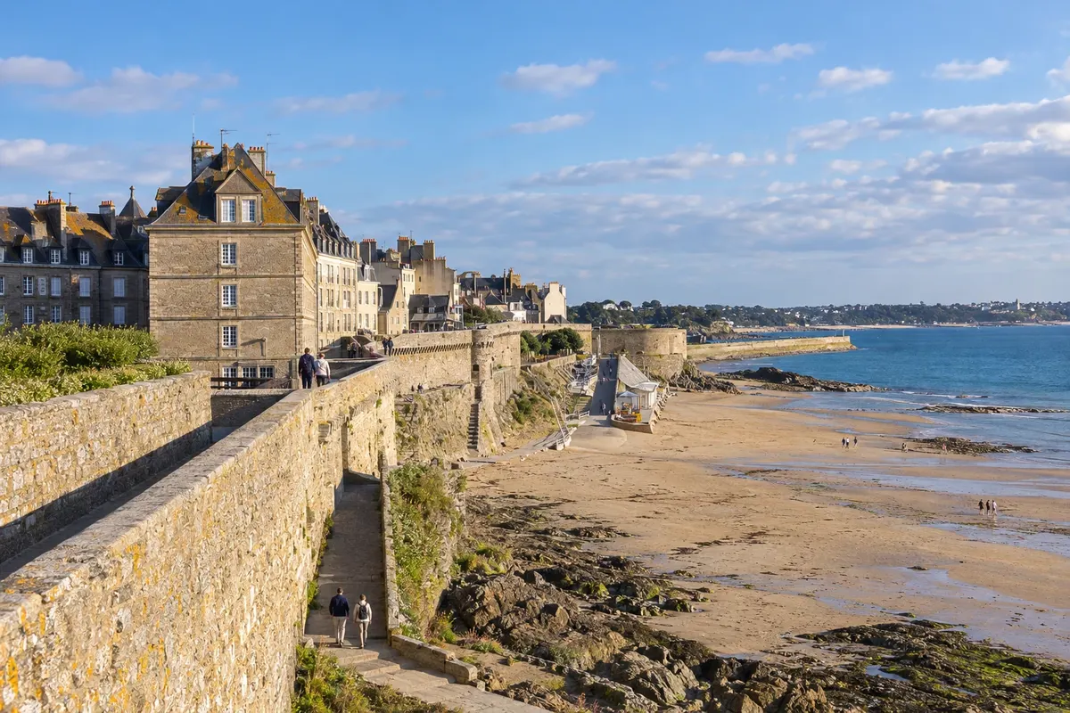 France
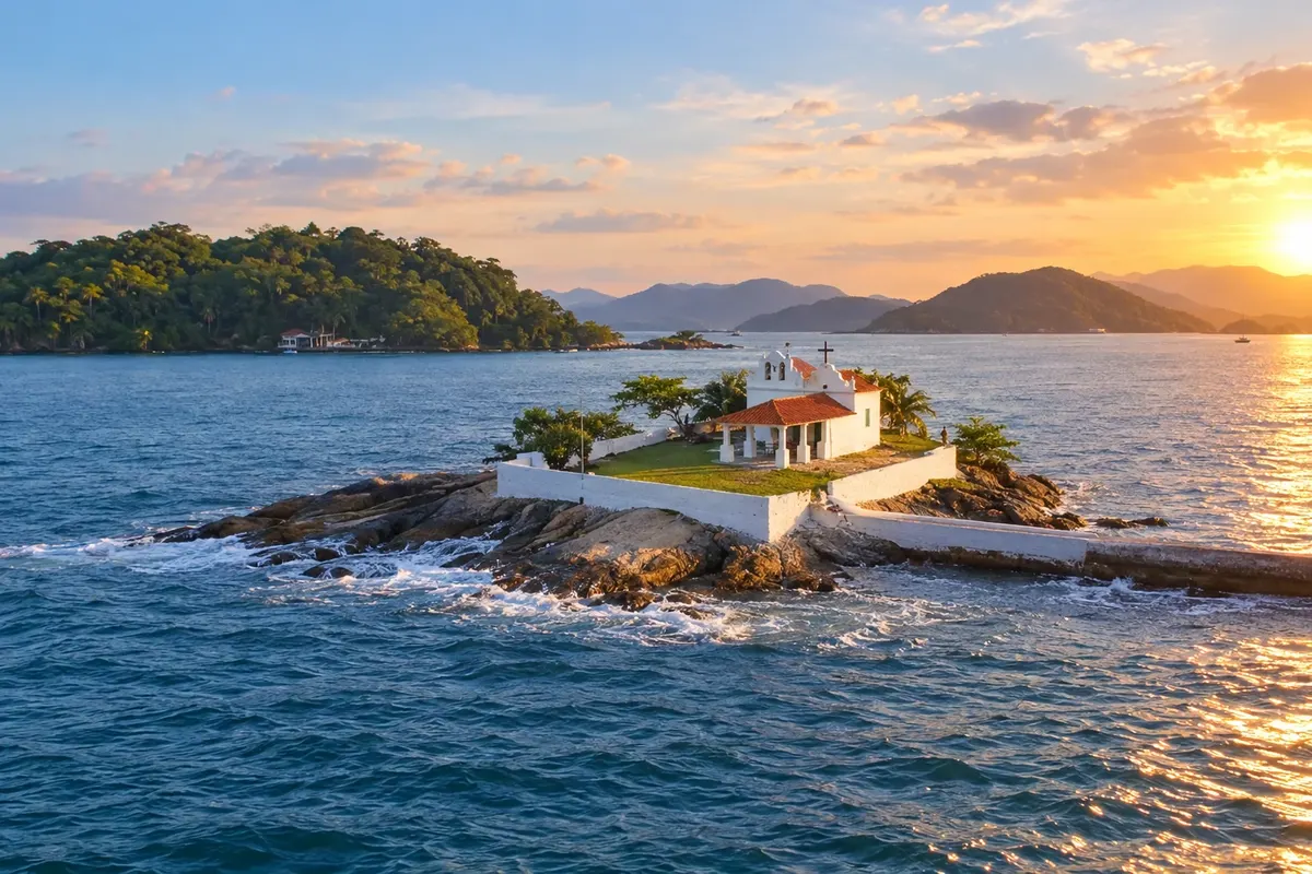 Brazil

