Alto Paraíso de Goiás

Goiás · Brazil

Alto Paraíso de Goiás

In the destination Chapada dos Veadeiros.

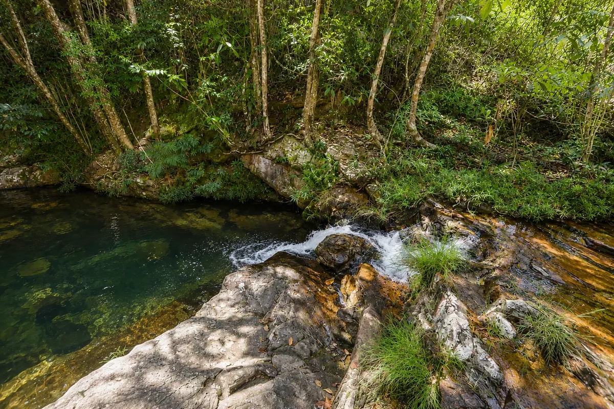
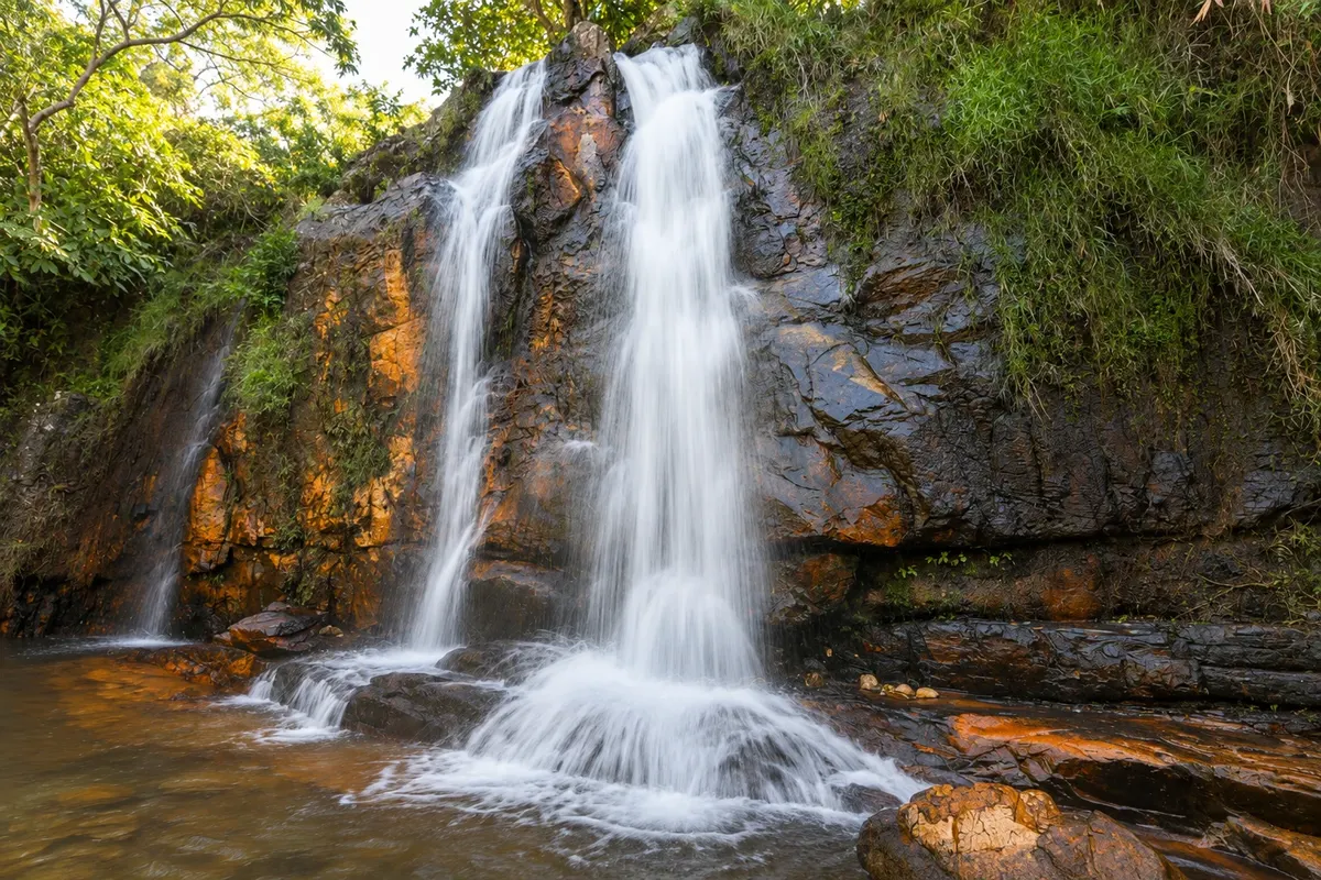
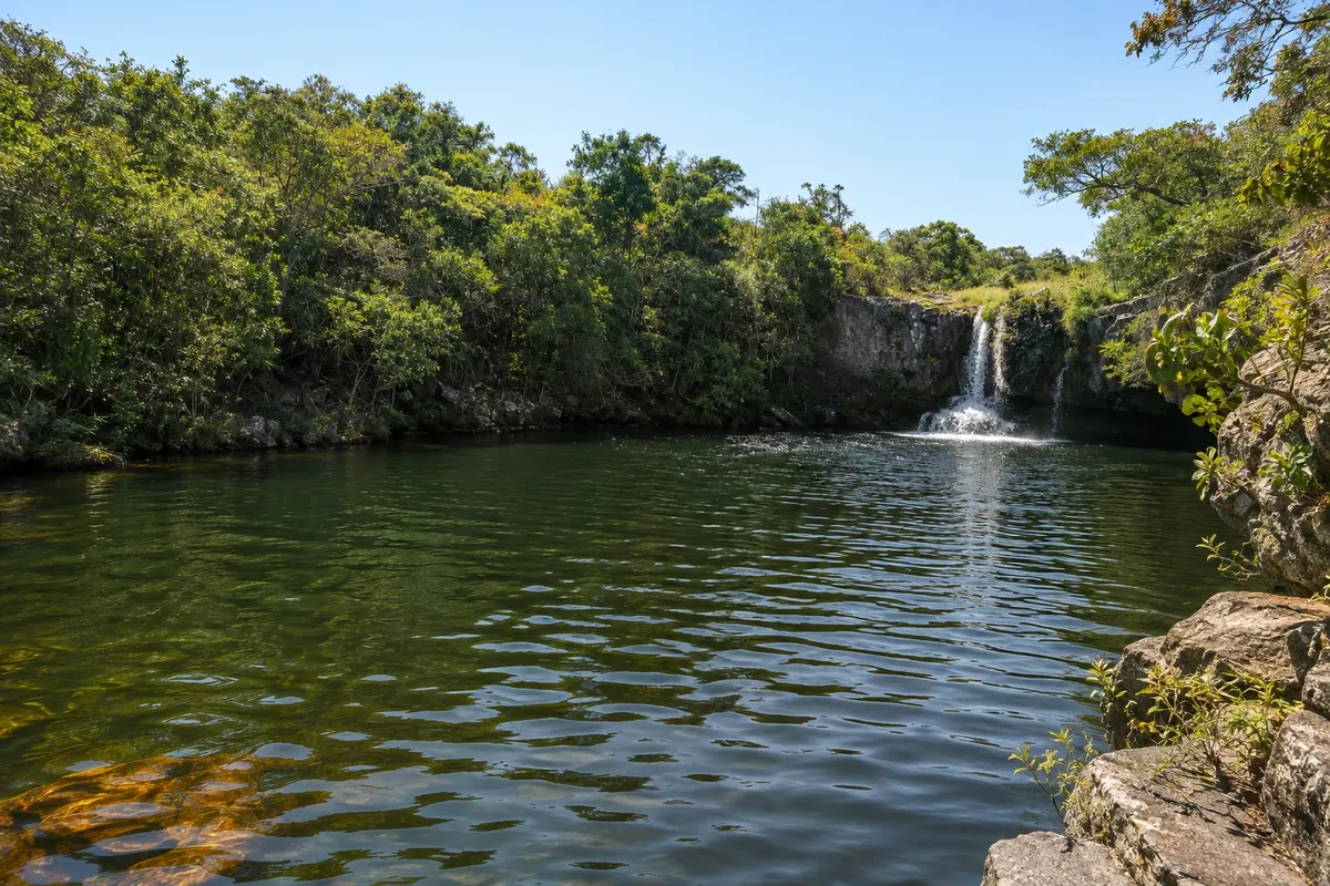
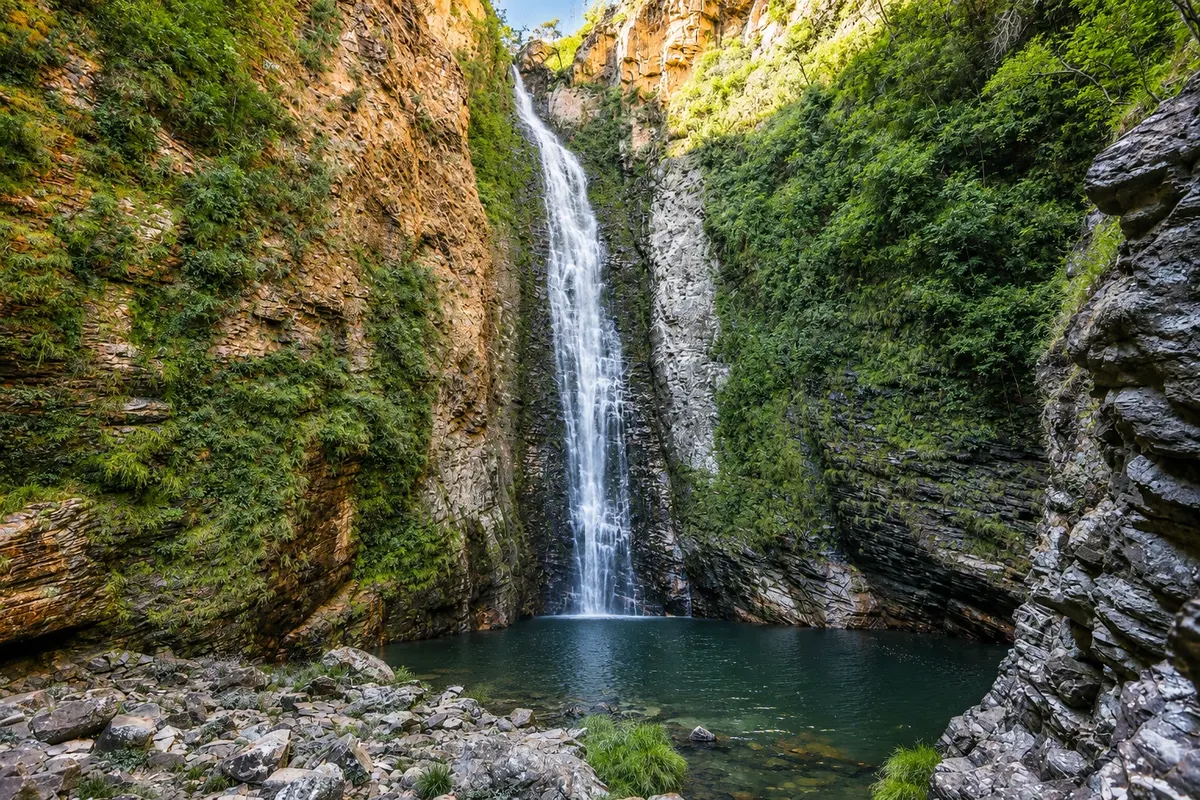
Illustrative images. The pictures in this guide are illustrations based on the real place, not photographs, and may differ from it.

Get it on Google Play Send your photos

The city

What to expect from Alto Paraíso de Goiás.

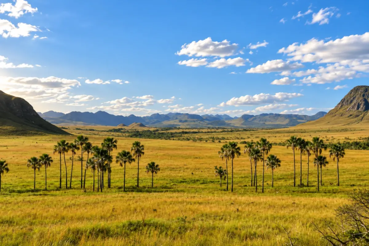
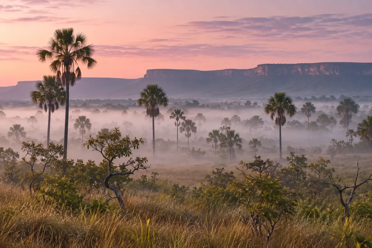
Alto Paraíso de Goiás brings together cerrado grasslands, veredas (palm-lined wetlands) and mountains in Chapada dos Veadeiros. The Jardim de Maytrea landscape reveals the buriti palms and hills that mark the roads between town and São Jorge.

Alto Paraíso de Goiás is in the northeast of the state of Goiás, on Brazil’s Central Plateau, about 230 km from Brasília, at just over 1,200 meters elevation. It is the most used base town for Chapada dos Veadeiros: it has the bus station, banks, markets, pharmacies and the largest selection of guesthouses, restaurants and agencies in the region. The municipality is large and includes the village of São Jorge, 36 km from the town center, where the entrance to Chapada dos Veadeiros National Park is located.

The place began as a farm called Veadeiros, which belonged to Cavalcante, became a municipality in 1953 and, ten years later, received its current name. From the 1950s onward, schools and communities with spiritual inspiration settled in the region, bringing a migration of people looking for an alternative lifestyle. Dozens of mystical, philosophical and religious groups coexist in town, and this shows in the landscape: pyramids, domes, meditation temples and murals share the streets with ordinary houses.

The center is small and organized around Avenida Ary Ribeiro Valadão Filho, where restaurants, cafés, markets and shops selling crystals, incense and handicrafts are located. The green extraterrestrial figure, present in shop windows and walls, is almost a local mascot. There is a wide offer of therapies, massages and retreats. Those who aren’t interested in any of that will still find a quiet town to sleep and eat well between one hike and the next.

The waterfalls are all outside town, on private farms or in the national park, and are almost always reached by car. The closest are Loquinhas, about 4 km from the center, and Cachoeira dos Cristais, 8 km away. Along GO-239, the paved road that leads to São Jorge, are Fazenda São Bento, with the Almécegas I, Almécegas II and São Bento waterfalls, at 8 km, Jardim de Maytrea, at about 20 km, and Vale da Lua, at 35 km. To the south, on a dirt road, is Catarata dos Couros. The Povoado do Moinho, a quilombola community 14 km away, and the Sertão Zen trail complete the surroundings.

São Jorge is another world: a dirt-road village born from quartz crystal prospecting, attached to the park gate. From there depart the trails to Saltos do Rio Preto and the Canyons and, outside the park, the Mirante da Janela trail. Cavalcante and the Kalunga territory, about 90 km to the north, require a full day or an overnight trip.

The climate has two well-defined seasons. From May to September it hardly rains, the sky is clear, trails are firm and nights cool, with minimums near 16 °C in June and July. From October to April it rains a lot, the cerrado turns green and the falls gain volume, but pools and trails can close after a heavy storm. Maximums vary little, between 25 °C and 29 °C.

Three or four days are enough for a day at the national park, the waterfalls along GO-239 and Catarata dos Couros. The municipality charges visitors an environmental conservation fee, paid online before arrival. Bring cash for the entrances to the farms and expect some stretches of dirt road.

Share: WhatsApp

Where to stay

97 places to stay in Alto Paraíso de Goiás.

Where to eat

7 places to eat in Alto Paraíso de Goiás.

Alto Paraíso de Goiás highlights and titles

World Heritage Site (UNESCO)
Quilombo community
Canyons
National park

The local experience

What to see in Alto Paraíso de Goiás

rock formation

Vale da Lua

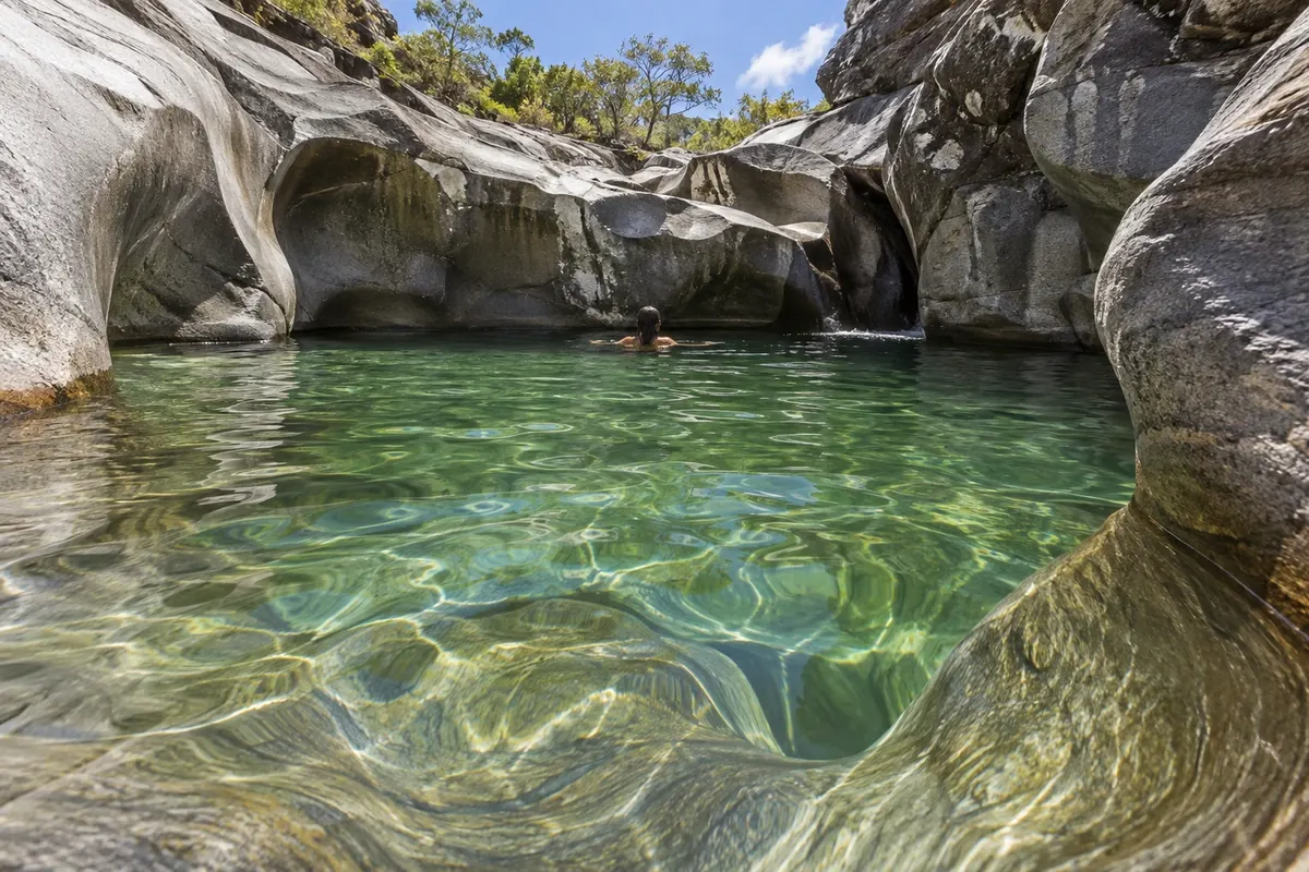
A rocky riverbed sculpted by the Rio São Miguel into curves and craters that resemble the surface of the moon. In the dry season you can walk among the formations and swim in the pools.

Discover Vale da Lua

viewpoint / cerrado grassland

Jardim de Maytrea

An open cerrado plain dotted with buriti palms and the Serra da Baleia in the background, by the road to São Jorge. It's the classic spot to watch the sunset in the chapada.

Discover Jardim de Maytrea

See 7 more places in Alto Paraíso de Goiás
Waterfall

Loquinhas Waterfall

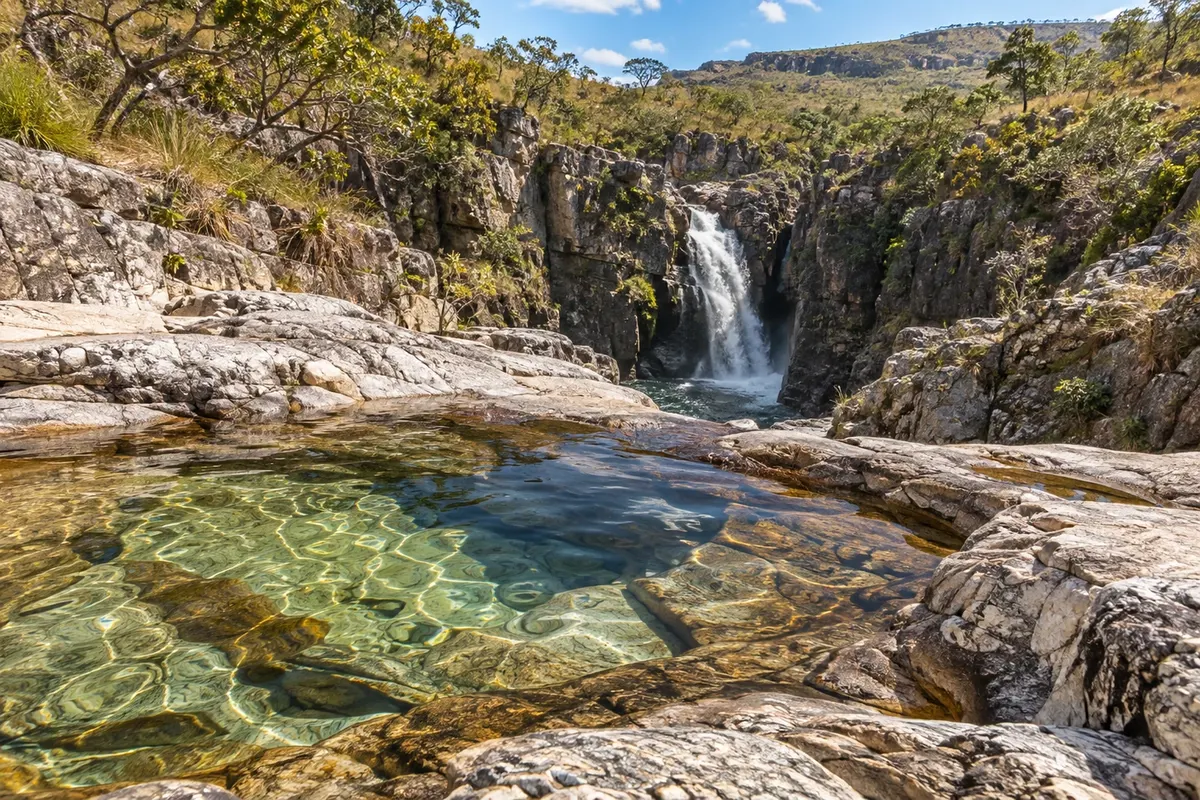
A set of greenish water pools and small cascades on Fazenda Loquinhas, a few kilometers from the center of Alto Paraíso de Goiás. The trails run along wooden walkways and bridges, are well signposted and shaded, and can be done without a guide.

Discover Loquinhas Waterfall

Waterfall

Crystal Falls

Sequence of small falls and cold, clear water pools near Alto Paraíso de Goiás, on the road to Cavalcante. The trail is easy; the first pool is next to the main lodge and there are lawns, decks, and a restaurant on the property.

Discover Crystal Falls

Waterfall

São Bento Waterfall

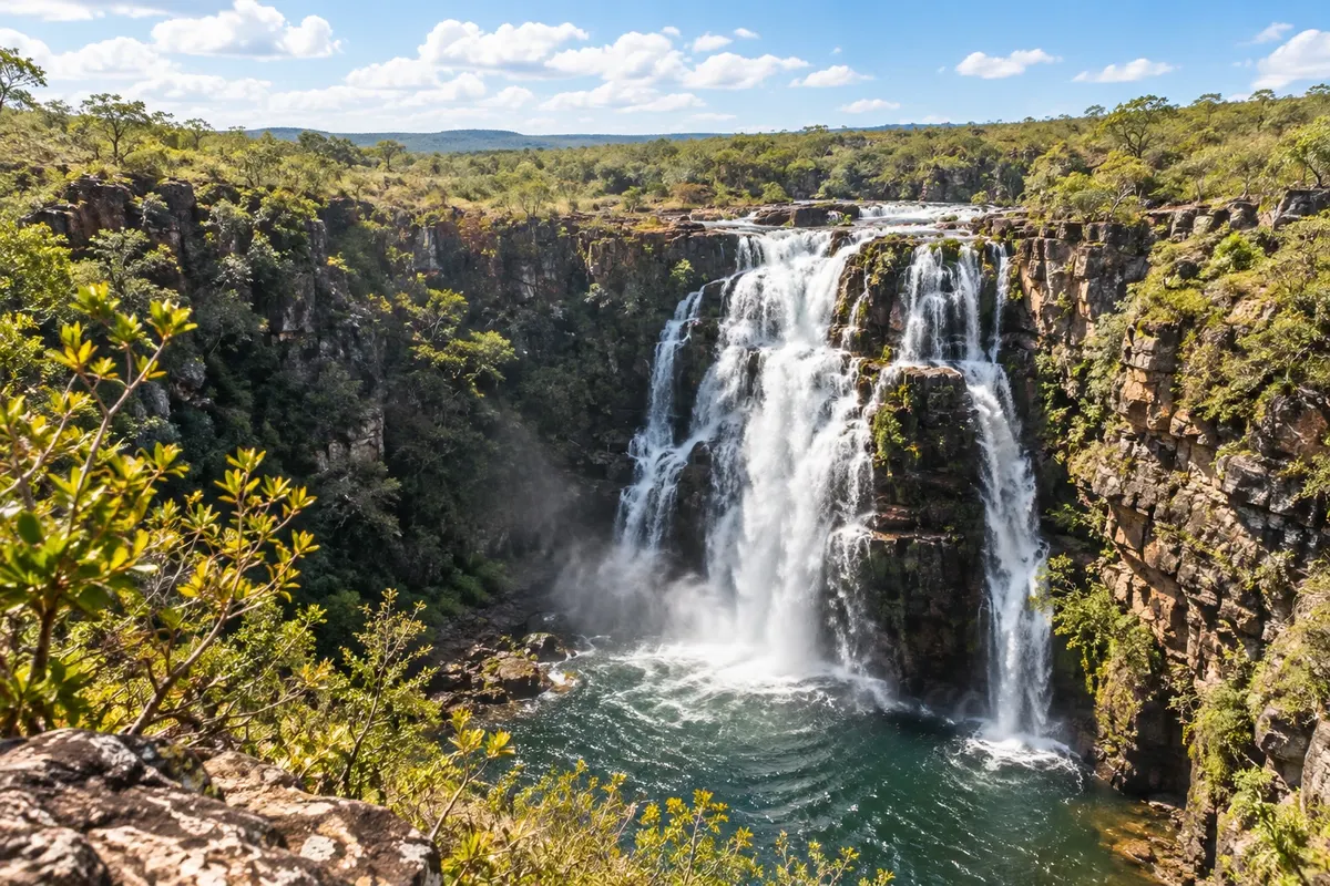
A drop of about 8 meters with a wide swimming hole at Fazenda São Bento, 8 km from Alto Paraíso de Goiás on the road to São Jorge. The trail is only 300 meters, and the same farm provides access to the Almécegas I and II waterfalls.

Discover São Bento Waterfall

Waterfall

Cachoeira do Segredo

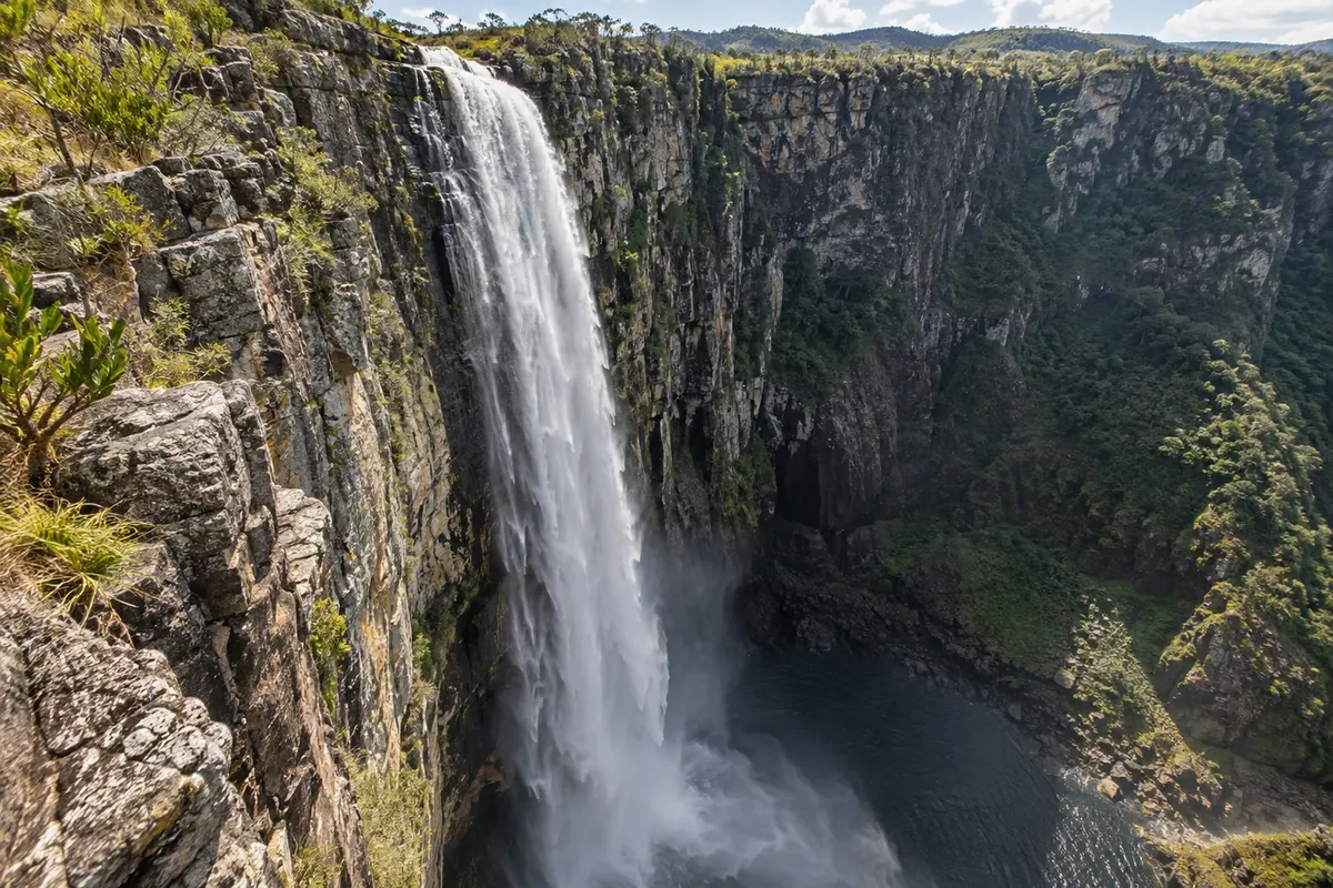
A drop of about 100 meters at the bottom of a canyon whose cliffs are covered in green, in the Vila de São Jorge area, in Alto Paraíso de Goiás. You reach it by a long trail with river crossings, and the very cold swimming hole lies at the foot of the fall.

Discover Cachoeira do Segredo

To choose before you go

Tours in Alto Paraíso de Goiás

Where each tour starts, how long it takes, how it is done, what is included and the price range.

Alto Paraíso town center on foot: the avenue, crystals and the mystical side

From Avenida Ary Ribeiro Valadão Filho, Alto Paraíso center on foot, on your own 2 to 3 hours late afternoon and evening easy

Alto Paraíso has no historic center or monuments: the town walk is to understand why it attracts so many people seeking something beyond waterfalls. Everything happens on Avenida Ary Ribeiro Valadão Filho and the streets beside it, where restaurants, cafés, markets, pharmacies and agencies are concentrated. Walk without a fixed plan. Shop windows mix quartz crystals, stones, incense, dreamcatchers, clothing and cosmetics made with cerrado plants; the green alien repeats in displays. The architecture follows suit: there are pyramid- and dome-shaped buildings, meditation temples and façades painted with mystical themes, side by side with ordinary countryside houses typical of Goiás. The reputation has a history. From the 1950s, an Esperanto farm-school and later a spiritist community settled in the area and sparked a migration of spiritualist groups. The explanations that circulate in town mention the 14th parallel, which also crosses Machu Picchu in Peru, and a quartz crystal said to underlie the chapada. These are local legends, told with relish. Near the City Hall, a covered market sells vegetables, homemade bread, cheese, honey, sweets and cerrado products. At night, the avenue is the place to dine and to finalize next-day tours with agencies.

Stops: Avenida Ary Ribeiro Valadão Filho, Producer market, Crystal and handicraft shops.

Includes: There is no charge to walk around the center. Therapies, massages, workshops and purchases are paid separately, directly to each venue.

Tip: Leave the town for late afternoon, after visiting the waterfall: that is when shops and cafés are busiest. Confirm the market days with your pousada. Anyone seeking therapy or a retreat should book in advance, especially on holidays.

Best time: All year. In July and on long holiday weekends the avenue gets crowded and restaurants have waits.

Loquinhas Waterfall: pools and boardwalks near the town center

From Alto Paraíso center car or taxi; trails on wooden walkways 3 to 4 hours morning or afternoon easy

This is the waterfall closest to town: the farm is about 4 km from the center, with a short stretch of dirt road at the end. That makes it suitable as a half‑day outing, for the afternoon of your arrival, the day after a long hike, or for travelers with children. Loquinhas is not a single drop. From the reception trails follow two streams and lead to 18 pools and small waterfalls with clear water in green tones. Almost the entire route runs on suspended wooden boardwalks with rope handrails; each pool has a ladder and a bench. The main trail is about 2 km round trip. The name comes from loca, the small grottoes that appear behind several falls. Poço da Vovó and Poço Xamã are among the most popular. One of the streams dries up in the months without rain, and the pools on the Purple Trail only have water in the rainy season: the reception tells you which ones are suitable for swimming that day. The water is cold year‑round. Visits are self‑guided, and the number of visitors per day is controlled at the entrance.

Stops: Fazenda Loquinhas, Poço da Vovó, Poço Xamã, Purple Trail.

Includes: Paid ticket at reception, with parking. Children up to 12 do not pay. A guide is not necessary. Check the current fee table.

Tip: Bring a towel and a light warm layer for after the swim. Arrive early on holidays, because the entrance has a daily limit. On heavy-rain days the dirt road section worsens: check with your guesthouse before leaving.

Best time: From March to June, with the pools full and the weather already more stable. At the peak of the dry season, several pools may lack running water.

Cristais Waterfall

From Alto Paraíso center car or taxi; short walk on foot 3 hours to half a day morning or afternoon easy

8 km from town, Cachoeira dos Cristais is the option for those who want river bathing with little effort and nearby facilities. The route follows 5 km on GO‑118 toward Cavalcante, then 3 km of dirt road to the main site, where there is parking, a restaurant, restrooms, a shop, and a lawn with tables and wooden decks. Despite the name, the site consists of a sequence of small drops, rapids and natural pools formed by two streams that run side by side down uneven terrain. A single trail of less than 500 meters follows the descent; short side paths branch off to the right, each ending at a different pool. The first pool is a few meters from the main area. At the end of the trail is Véu de Noiva Waterfall, the main fall of the group, with several drops and a shallow pool good for children and non‑swimmers. There is also the Cachoeira da Água Fria trail, which is nearly dry in the dry season; ask at the entrance if it is in condition. The restaurant operates during the day, and many people stay until late afternoon on the lawn. Because it is close and easy to reach, the place fills up on holidays and during school breaks; it sometimes hosts parties and music festivals with their own programming.

Stops: Cachoeira dos Cristais, Poço da Vovó, Véu de Noiva Waterfall, Cachoeira da Água Fria.

Includes: Paid ticket at the entrance, granting access to all falls. Restaurant and drinks are paid separately. A guide is not necessary. Check the current price table.

Tip: Prefer weekdays. Descend first to the Véu de Noiva and return stopping at the pools. Check beforehand for any event scheduled on the day of your visit.

Best time: All year. In the dry season, Cachoeira da Água Fria is practically without water.

Almécegas I, Almécegas II and São Bento, on GO-239

From Alto Paraíso center car or agency tour; short hikes half day morning easy to moderate

The three waterfalls are on the same farm, with the entrance 8 km from Alto Paraíso, on the left for those heading along GO-239 to São Jorge. It is the first stop on the road and fits into a morning, leaving the afternoon for Vale da Lua or Jardim de Maytrea. Start with Almécegas I, the tallest and the one with the most demanding trail. From the gate, an internal access road of about 1.8 km leads to the parking; from there it is about 800 meters on foot, downhill and steep, to a viewpoint in front of the fall, roughly 45 meters, which drops in many thin streams along a rock face. Those with stamina continue to the base or to the pools above. The return is all uphill. Almécegas II is nearby: about 600 meters round trip to an 8-meter fall with a calm pool, good for staying a while. São Bento, the closest to the farm headquarters, has direct access with no trail, which suits visitors traveling with small children or older people. The trails are self-guided. The farm has a restaurant and snack bar, and sells a combined ticket for all three falls or just the São Bento entrance.

Stops: Fazenda São Bento, Cachoeira Almécegas I, Cachoeira Almécegas II, Cachoeira São Bento.

Includes: Paid ticket at the gate: combined ticket for the three waterfalls or São Bento only. On-site parking. Separate restaurant and snack bar. Check the current fee table and payment methods.

Tip: Go with sneakers: the descent to Almécegas I is steep. Do it first, with your body rested and the sun lower, and finish at São Bento. Bring cash for the entrance gate.

Best time: All year. From April to June the falls are still full and the weather, stable. On days of high water, swimming may be limited.

Vale da Lua, on the way to São Jorge

From Alto Paraíso center or the village of São Jorge car or agency tour; short hike 2 to 3 hours on site morning or afternoon easy

Vale da Lua is the stretch where the São Miguel River runs through a gray rock bed and carves it into basins, channels and smooth craters that resemble the lunar surface. It is on private property, outside the national park, and is one of the easiest visits in the region. The signed entrance is on GO-239, 35 km from Alto Paraíso and 9 km from São Jorge. After the paved road there are about 3.5 km of dirt road to the parking lot, where you find the reception, restrooms and a snack bar. A trail of approximately 1.2 km leads to the main formations and pools. In the dry season, when the river is low, you walk among the rocks and bathe in the natural pools and whirlpools; the water shows shades of green. In the rainy season the landscape changes: the river fills, several points are closed and swimming may be suspended. The river can rise suddenly: leave the water if it changes color or if staff warn you. The visit is self-guided. Leaving Alto Paraíso, Vale da Lua usually closes the day of the waterfalls on GO-239 or opens the day for those heading to São Jorge; on the return, Jardim de Maytrea is on the way.

Stops: Vale da Lua, Rio São Miguel, GO-239.

Includes: Paid ticket at the reception, with parking. Small children are free; seniors and local residents pay half price with ID. Guide is not necessary. Check the current rate table.

Tip: Arrive early in the morning or on a weekday: the place fills up on holidays. Walk slowly on wet rocks and respect closed pools. Bring cash and insect repellent.

Best time: From May to September, when the river is low and the pools are open for swimming.

Maytrea Garden at late afternoon

From Alto Paraíso center or the village of São Jorge car; roadside stop 30 minutes to 1 hour late afternoon easy

The Maytrea Garden is a landscape to be seen from the road: a plain of open cerrado, with veredas and buritis scattered through the grass and, in the background, Morro da Baleia, named for its shape and one of the most recognizable profiles of the chapada. It lies beside the GO-239, about 20 km from Alto Paraíso and 16 km from São Jorge. The area belongs to Chapada dos Veadeiros National Park, and you do not enter the field to protect the vegetation and animals. You stop the car off the road and observe from the fence; a short trail leads to a viewpoint. In the fields you can see chuveirinhos, white pompom-shaped flowers typical of the cerrado. For those who follow the region’s mystical currents, the Garden is a sacred place. For others, it is the classic late-afternoon spot: the low light hits the buritis from the side and the hills darken against the sky. In the dry season the sky is usually clear; in the rainy season the fields turn greener and the clouds become part of the scene. It is a quick, effortless stop that fits well on the return from São Jorge, Vale da Lua or Fazenda São Bento.

Stops: Maytrea Garden, Morro da Baleia, GO-239.

Includes: There is no fee to stop and view the scenery from the highway. There are no facilities on site.

Tip: Park well off the road, with hazard lights on: the highway has traffic and the roadside fills up at sunset. Arrive with time to spare before the sun goes down.

Best time: All year. From May to September, clear skies favor the sunset.

See 6 more tours

Village of São Jorge: a day at the gate of the national park

From Alto Paraíso center car or taxi via GO-239; the village is explored on foot half a day to a full day all day easy

São Jorge is a district of Alto Paraíso, 36 km from the center via GO-239, entirely paved and with a bike lane alongside. The trip takes less than an hour and passes Fazenda São Bento, Jardim de Maytrea and the entrance to Vale da Lua. The village was born from mining. It used to be called Baixa and grew from 1951, when the search for quartz crystal brought miners to the region's veins. Mining lost strength in the 1960s; today the village lives on tourism. The current name came from the devotion of a resident, who had the image of São Jorge kept in the chapel brought there. What you find is a handful of dirt streets, with pousadas, campsites, restaurants, bars and craft shops, lots of cerrado around and a slower pace than Alto Paraíso. In the dry season, dust is part of it. The national park gate is next to the village and can be reached on foot. Those coming from Alto Paraíso for a short visit usually combine the village with a park trail, the Mirante da Janela or Vale da Lua; they have lunch there and return late afternoon, stopping at Jardim de Maytrea. Those planning more than one park trail save time by staying overnight in São Jorge. At the village entrance there is a gate that checks payment of the municipal conservation fee.

Stops: Village of São Jorge, Chapada dos Veadeiros National Park Gate, Chapel of São Jorge, GO-239.

Includes: There is no charge to walk around the village. The municipal environmental conservation fee is checked at the entry gate. Meals and attractions are paid separately.

Tip: Refuel in Alto Paraíso before you leave and keep the municipal conservation fee receipt on your phone. Without a car, arrange a taxi for there and back: do not count on regular buses between the town and the village.

Best time: From May to September, with stable weather. In July and on holidays the village gets crowded; on the days of the Encontro de Culturas Tradicionais demand for lodging increases.

National Park as a day trip: Saltos do Rio Preto, Carrossel and Corredeiras

From Alto Paraíso center; trail starting at the Visitor Center in São Jorge drive to São Jorge and hike on foot, with optional internal shuttle 6 to 7 hours of hiking, plus the road all day moderate to difficult

This is the busiest day for those staying in Alto Paraíso, so set an alarm. Foot access to the park trails is only allowed in the morning, and the entrance gate is in São Jorge, 36 km away: leave town very early with your ticket already purchased. The Yellow Arrows trail is about 11 km round-trip. After an orientation at the Visitor Center, the path crosses a flat, exposed stretch through former crystal-mining areas, then descends steeply over rocky terrain to the Salto do Rio Preto viewpoint, a 120-meter free fall. Just ahead is Cachoeira do Garimpão, an 80-meter waterfall with swimming allowed in a demarcated area. All that descent becomes an uphill on the return, and that is where the trail takes its toll. The route continues to the Carrossel, a set of falls and canyons whose pool only opens in the dry season, and ends at the Corredeiras, with small drops and natural pools good for resting before leaving. The park offers an internal van, paid per segment, that runs from the Visitor Center to the Corredeiras and to the start of the Saltos descent; it shortens the flat section and extends the entry time until mid-afternoon. Everyone must leave the attractions by late afternoon. On the way back to Alto Paraíso, the sunset at Jardim de Maytrea is along the route.

Stops: Chapada dos Veadeiros National Park, Salto do Rio Preto viewpoint, Cachoeira do Garimpão, Carrossel, Corredeiras do Rio Preto.

Includes: The entrance ticket grants access to the day’s trails. Internal shuttle and parking are charged separately. A guide is not mandatory. There is half-price admission and reduced rates for local residents; the municipal fee is charged separately.

Tip: Buy the entrance ticket online: it is valid only for the chosen date, and the number of visitors per trail is limited. Bring snacks, plenty of water, a hat and hiking shoes. There are no food sales along the trail.

Best time: From May to September, with a dry trail and the Carrossel open. In rain, the falls become more voluminous and the pools may close.

R$ 49 · per person, full park ticket (internal van not included) · official price

National Park as a day trip: Canyons and Cachoeira das Cariocas

From Alto Paraíso center; trail starting at the Visitor Center in São Jorge drive to São Jorge and hike on foot 4 to 6 hours of hiking, plus the road all day moderate

The park’s second trail is the choice for those who prefer spending the day in the water rather than viewing falls from above. It also starts at the Visitor Center in São Jorge and also only allows morning entries on foot: the logistics from Alto Paraíso are the same as for the Saltos trail. The route marked by red arrows is almost flat, over rock, with some shaded stretches and water seeps. It is 11 to 12 km round trip. After about 5 km the trail splits. To the right, about 800 meters away, is Canyon II: a narrow corridor of cliffs where the Rio Preto squeezes through, with a drop at the entrance and another in the middle, opening into a wide, deep, dark pool. You can view the canyon from above and swim in the pool at the exit, following the instructions of the park rangers. To the left, about 1 km away, with a steep descent at the end, is Cachoeira das Cariocas, where the river divides into several cascades with natural pools on both sides. The two points are about a 30-minute walk from each other, and it’s possible to visit both in one day. There is no internal shuttle on this route. Those who want to do both park trails need two days; in that case, spending a night in São Jorge saves two road trips.

Stops: Chapada dos Veadeiros National Park, Canyon II of Rio Preto, Cachoeira das Cariocas.

Includes: Park entrance ticket grants access to the trail. Parking is charged separately. A guide is not mandatory. The municipal fee is charged separately.

Tip: Wear your swimsuit underneath, bring snacks and water for the day: there are no food sales along the trail. Start at Canyon II and save the Cariocas for the longer swim.

Best time: From May to September. In the rainy season, the flow of the Rio Preto increases and swimming in the canyon may be suspended.

R$ 49 · per person, full park entrance fee · official price

Janela Viewpoint and Cachoeira do Abismo

From Alto Paraíso center; trailhead from São Jorge car by road to the parking area and hike on foot 4 to 5 hours of hiking, plus the road morning difficult

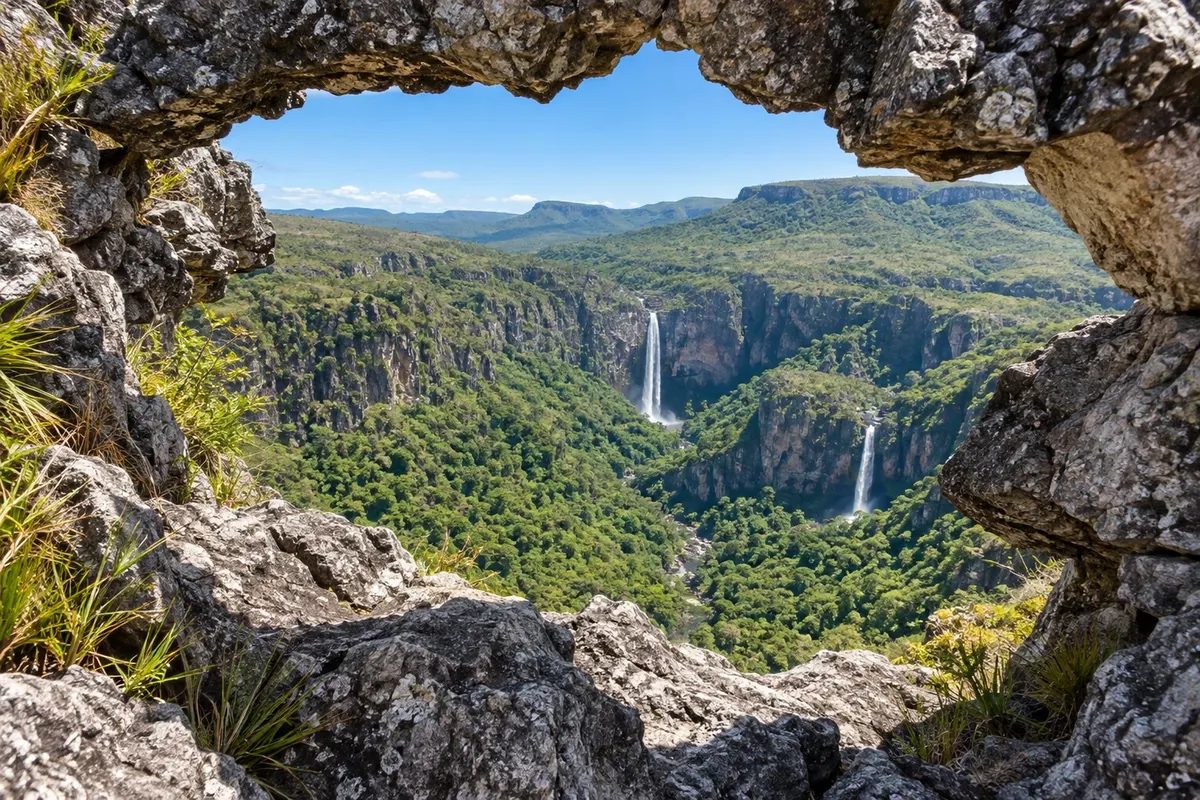
The Janela Viewpoint shows the Saltos do Rio Preto from outside the national park, on the other side of the valley. The trail runs on private land, 35 km from Alto Paraíso; the parking area is about 3 km from Vila de São Jorge on a dirt road. It is 7 to 8 km round trip, in a U-shaped route: the trail descends steeply and then climbs to the ridge, with stairs, rocks and almost no shade. At the start it passes old quartz mining pits and the property reception, where you pay the entrance fee and receive a control wristband; the number of daily visitors is limited. Midway is Cachoeira do Abismo, which flows only in the rainy season, when it forms channels and pools among the rocks at the edge of a cliff. In the dry season, only the rock wall remains. At the end, balanced boulders form an opening that frames the view: the canyon, the 120-meter drop and the Garimpão fall, inside the park. There are other viewpoints around. The trail is marked and can be done without a guide during the day; a guide is mandatory for sunrise and sunset. From Alto Paraíso, it is a full-morning trip, which pairs well with lunch in São Jorge and an afternoon at Vale da Lua.

Stops: Janela Viewpoint, Cachoeira do Abismo, Saltos do Rio Preto, Vila de São Jorge.

Includes: Paid entrance at the property reception. Guide optional during the day and mandatory for sunrise and sunset departures. There is no water point along the route.

Tip: Start early to climb the ridge before the heat, and carry at least 2 liters of water per person, a hat and sunscreen. If you want to see Cachoeira do Abismo with water, go between November and April.

Best time: From May to October, skies are clearer for the view. From November to April, Cachoeira do Abismo has water.

Catarata dos Couros

From Alto Paraíso center car on a dirt road, or a guided tour with transport full day, with about 1 hour of driving each way all day moderate

This is a full-day trip from Alto Paraíso to the side opposite São Jorge. Catarata dos Couros is about 50 km from town: roughly 20 km of paved road on GO-118 toward Brasília, and more than 30 km of dirt road with little signage. Allow about one hour driving each way. What you visit is a sequence of drops of the Rio dos Couros, which descends in steps through a valley of exposed rock. The name comes from when the place was used to dry animal hides. From the parking area, the trail follows the riverbank for about 3 km to the last fall, with stretches of loose rock, climbs and descents. Cachoeira da Muralha, about 500 meters from the parking lot, is the most visited: the water descends in multiple drops along a wide rock wall and forms a deep pool. Downriver come Almécegas Mil, the tallest of the group, Poço do Parafuso and, finally, the fall inside the canyon, seen from a lookout. Between them there are natural pools and a shallow sandy beach. Guides usually go straight down to the lookout and return by climbing back up, finishing the day at the Muralha, near the exit. There is no restaurant or infrastructure on site.

Stops: Rio dos Couros, Cachoeira da Muralha, Cachoeira Almécegas Mil, Poço do Parafuso, Cachoeira do Buracão.

Includes: There is no fixed entrance fee; people usually contribute for parking. Guide optional, recommended because the trail has no official signage. On an agency tour, transportation and guide are included.

Tip: Bring water and food for the whole day and shoes with good grip. In the dry season an ordinary car can reach it slowly; in the rainy season prefer a high‑clearance vehicle or go with an agency. Save the route on your phone before you leave: the road has little signage.

Best time: From May to September, when the road is dry and the river is lower. In the rain, the falls are more voluminous and the road worsens.

Sertão Zen Trail

From Trailhead about 4 km from Alto Paraíso center hiking trail, guide recommended 8 to 9 hours; 18 to 20 km round-trip all day difficult

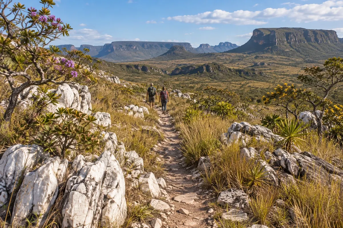
This is the long hike that starts practically in town, not depending on the São Jorge road. The start is about 4 km from the center, and from there it’s about 9 to 10 km each way. The first kilometer is the steep ascent of Serra da Baliza. From the top you can see Alto Paraíso, Vale do Moinho and the falls of Cachoeira dos Cristais. Then the terrain evens out, and most of the day is spent on the plateau top, among open fields and rock outcrops that look like stone gardens. The final stretch crosses rupestrian cerrado, full of boulders and without a well-marked path, up to the Mirante do Vale dos Macacos. There the river plunges over the plateau edge in a drop of about 150 meters, and the view opens to the valley below. There is a pool for bathing near the viewpoint, on the upper part of the waterfall. There is almost no shade, signage is incomplete and mobile phone signal is poor for much of the route. No entrance fee is charged. A guide is not required but is recommended; local agencies sell departures that include transport to the trail start.

Stops: Serra da Baliza, Vale do Moinho, Mirante do Vale dos Macacos, Cachoeira do Sertão Zen.

Includes: No park entrance fee. For agency departures, guide and transport to the trailhead are included. Water and food are each person’s responsibility.

Tip: Leave at dawn with plenty of water, a substantial snack, a hat, sun-protective clothing and a flashlight. If you go without a guide, have the route saved on your phone and tell your pousada.

Best time: May to September, with a dry trail. In rain the waterfall is fuller but the hike becomes heavier.

Day by day

1, 2 and 3-day itinerary in Alto Paraíso de Goiás

Suggestions to plan the trip. Change the order of the days according to the weather and tour availability.

1 days · Alto Paraíso in 1 day: the waterfalls of GO-239 and late afternoon in the cerrado

For those passing through or with a free day before visiting the national park · Based in Alto Paraíso center
  1. Day 1 · Almécegas, Vale da Lua, Jardim de Maytrea and the avenue

    Leave early on GO-239. At 8 km from town, turn into Fazenda São Bento and start at Almécegas I, with the steep descent to the viewpoint and the pool; then Almécegas II and São Bento, which are easier to access. Have lunch at the farm restaurant or continue to the highway. In the afternoon, keep going to the entrance of Vale da Lua, 35 km from Alto Paraíso, with about 3.5 km of dirt road at the end. Walk among the rocks carved by the São Miguel River and, in dry periods, bathe in the pools. On the way back, stop at Jardim de Maytrea, about 20 km from town, to watch the sun set behind the buriti palms. At night, stroll along Avenida Ary Ribeiro Valadão Filho, between crystal shops and restaurants.

2 days · Alto Paraíso in 2 days: national park and waterfalls near town
For weekend and first visit · Based in Alto Paraíso center
  1. Day 1 · National park: Saltos do Rio Preto trail

    A day to wake up early. It’s 36 km to São Jorge, and the park’s on-foot entrance is only worth it in the morning. With your ticket bought in advance, follow the yellow arrows: viewpoint of the 120-meter drop, Cachoeira do Garimpão, Carrossel and Corredeiras, about 11 km and some 6 to 7 hours including swims. Bring snacks and plenty of water. If you want to save your legs, take the internal shuttle van for part of the route. On the way out, grab something to eat in the village and return to Alto Paraíso via GO-239, stopping at Jardim de Maytrea if there’s still daylight. Dinner on the avenue and an early night.

  2. Day 2 · Loquinhas or Cristais, Fazenda São Bento and Vale da Lua

    Easy morning close to town. Choose between Loquinhas, about 4 km away, with clear-water pools and wooden walkways, and Cachoeira dos Cristais, 8 km away, with shallow pools and a restaurant. After lunch, take GO-239. If you still have energy, descend to Almécegas I at Fazenda São Bento; if you prefer something flat, go straight to Vale da Lua and stay until late afternoon. If you are returning home the same day, reverse the order: Vale da Lua first thing, the waterfall near town before lunch, and the road in the afternoon.

3 days · Alto Paraíso in 3 days: the town, São Jorge and Catarata dos Couros
For for those who want to see the national park and waterfalls outside it without changing accommodation · Based in Alto Paraíso center
  1. Day 1 · Arrival, Loquinhas and the town

    After the highway, a short outing. Loquinhas is about 4 km from the center: wooden walkways and a series of cold, clear pools, with no effort required. In dry seasons, ask reception which pools still have water. At late afternoon, walk along Avenida Ary Ribeiro Valadão Filho. See the crystal shops, the murals and the pyramid- and dome-shaped buildings, and visit an agency if you need to hire a guide or transport for the next days. Before bed, buy the national park ticket online and check whether the municipality conservation fee has been paid.

  2. Day 2 · São Jorge: national park and Jardim de Maytrea

    Leave early for São Jorge, 36 km away. In the national park, choose a trail: Saltos, Carrossel and Corredeiras, with 120- and 80-meter falls and a steep climb on the return, or the Canyons and Cariocas route, flatter and with more time for swimming. Both are about 11 km. On the way out, have a late lunch in the village and walk the dirt streets. If you left the park with energy to spare, you can extend to Vale da Lua, 9 km from São Jorge, if it’s still open. Return to Alto Paraíso with the sun low and stop at Jardim de Maytrea beside GO-239.

  3. Day 3 · Catarata dos Couros or the GO-239 waterfalls

    With dry roads and enough energy, dedicate the day to Catarata dos Couros: around 50 km, more than 30 km on dirt, and a roughly 3 km trail along the riverbank between the Muralha and the canyon fall. Bring food and water for the day and, if possible, go with a guide. A shorter-road alternative is Fazenda São Bento, 8 km from town, with the Almécegas I, Almécegas II and São Bento waterfalls, followed by an afternoon at Cachoeira dos Cristais. If you prefer hiking, swap everything for the Sertão Zen trail, 18 to 20 km, which starts 4 km from the center and takes a full day.

Best time to go

When to go: Alto Paraíso de Goiás month by month

The seasons shown are the most usual ones; nature doesn't always follow the calendar.

January High rain

Folia de São Sebastião · School holidays · Waterfalls at full flow

One of the rainiest months, with an average above 350 mm, minimums near 19 °C and maximums of 26 °C. The falls are at their peak, but pools such as those in Vale da Lua can close after a storm, and the road to Catarata dos Couros becomes difficult. Prefer short-access waterfalls like Cristais, Loquinhas and São Bento, and set out in the morning. With school holidays, the avenue and São Jorge get busy.

February High rain

Carnival with street blocks · Frequent rain

Rain remains heavy, averaging around 330 mm and temperatures between 19 °C and 26 °C. During Carnival the town hosts street blocos and the region fills up: buy the national park ticket in advance, as daily capacity is limited. The Abismo Waterfall on the Mirante da Janela trail often has water. Leave a free day in your itinerary to reschedule a tour.

March High rain

End of heavy rains · Green cerrado

Last month of heavy rain, averaging about 314 mm with temperatures between 19 °C and 26 °C. The cerrado is green, waterfalls have plenty of water, and, outside holidays, there are few people. The Seriema Trail, the park’s shortest, is open at this time. Unpaved sections still require a high-clearance vehicle or patience.

April Some rain

Decreasing rain · Busy holidays

Transitional month: average falls to about 166 mm, with highs around 26 °C. Waterfalls remain full and dry days become more common, making April a good month for Loquinhas, the Almécegas and the Catarata dos Couros. During long holiday weekends the town fills and the national park’s visitor limit matters: book everything in advance.

May Low rain

Folia do Divino and Caçada da Rainha · Start of the dry season

The dry season begins: about 41 mm in the month, lows of 18 °C and highs of 26 °C. Waterfalls still have good flow, trails firm up and the Couros road improves. It’s one of the most balanced months for those who want water and stable weather. In May the traditional Folia do Divino Espírito Santo and Caçada da Rainha festivals take place.

June Low rain

June festivals in São Jorge · Cold nights

Dry month, averaging about 7 mm, with lows near 16 °C and highs of 25 °C. Nights and mornings call for warm clothing. Clear skies favor late afternoons at the Jardim de Maytrea and stargazing. Several Loquinhas pools begin to lose running water. There are June festivals in the village.

July Low rain

July festival in town · School holidays · Driest month

The driest month, with about 1 mm of rain, lows near 16 °C and highs of 25 °C. It’s high season: book accommodation, guides and tickets before arriving and enter the national park early. The Encontro de Culturas Tradicionais in São Jorge traditionally took place in the second half of July; dates have varied, check before planning.

August Low rain

Clear skies · Very dry air

Firm dry season, with about 7 mm in the month, highs near 27 °C and lows around 17 °C. The air becomes very dry and the sun strong: carry plenty of water for the Mirante da Janela trail and the Sertão Zen, which have almost no shade. Waterfalls lose volume, but the water becomes clearer. After the holidays, visitor numbers drop.

September Low rain

Heat · Waterfalls with less water

End of the dry season, with about 53 mm, generally in the last weeks. It’s one of the hottest months: highs near 29 °C and lows of 19 °C. Falls are at their lowest volume of the year, and Vale da Lua, with the river low, is good for walking among the rocks. Start long hikes early.

October Some rain

Return of rains · Heat

Rains return, averaging about 186 mm with highs near 29 °C. The cerrado regrows and the waterfalls start to fill. After heavy downpours, pools and trails can close for a few hours: heed the park gate warnings. Outside holiday periods, it’s a low-traffic month.

November High rain

Rainiest month · Low traffic

The rainiest month, averaging around 386 mm, with lows near 19 °C and highs of 26 °C. Falls gain volume quickly. Leave free days in your itinerary, favor attractions near town, and avoid the Couros road after a storm. The Seriema Trail reopens in the national park. Outside holidays, the town is quiet.

December High rain

City anniversary (12th) · New Year’s Eve · Heavy rain

Heavy rain, averaging about 384 mm and temperatures between 19 °C and 26 °C. Waterfalls are full and the cerrado is green. The town celebrates its anniversary on the 12th and has New Year’s Eve festivities on the 31st; in the final week of the year inns and restaurants fill up and there are year-end retreats. Book in advance.

Plan the journey

How to get there: Alto Paraíso de Goiás

By plane: Brasília airport

Alto Paraíso does not receive commercial flights. The town has an aerodrome, about 3 km from downtown, used only by small planes.

The arrival airport is Brasília International (BSB), in the Federal District, 235 km from Alto Paraíso. It has direct flights from Brazil’s main capitals.

From the airport, the final leg is always by road, taking 3h30 to 4 hours: in a rental car from the terminal, by prebooked transfer or by bus from Brasília’s Interstate Bus Terminal. There is no direct bus from the airport to the Chapada.

Goiânia’s airport is a second option, much farther: it’s about 425 km to Alto Paraíso, passing through Brasília.

By bus: from Brasília’s Interstate Bus Terminal

Buses depart from Brasília’s Interstate Bus Terminal and arrive at Alto Paraíso’s Bus Terminal. The line is operated by Real Expresso and companies in the same group, with departures in the morning and at night, in conventional, executive and sleeper services. The trip takes 3h30 to 4h30, depending on the time.

Buy your ticket in advance during holidays and the July school break, including the return. Alto Paraíso’s terminal also receives lines from other cities in Goiás, Tocantins and Bahia.

From the bus station, get to the pousada on foot or by taxi, depending on distance. There is no reliable regular line to the Village of São Jorge: the 36 km stretch is done by taxi, with the fare agreed beforehand, or with the pousada’s transfer. To get to Cavalcante you also need to change transport.

Those arriving by bus and not renting a car depend on local agencies to visit the waterfalls, which are far from downtown.

By car: BR-020 and GO-118 from Brasília

From Brasília to Alto Paraíso is about 230 km, all paved, in 3 to 4 hours. Exit north from the Federal District via BR-020, pass Planaltina and take GO-118, which coincides with BR-010 heading north. The route crosses the village of São Gabriel and the town of São João d'Aliança before rising to the plateau.

From Goiânia it’s about 425 km, via Anápolis and Brasília.

At Alto Paraíso’s entrance, a junction gives access to GO-239, which heads west: 36 km of pavement, with a bike lane, to the Village of São Jorge. On GO-118, to the north, are Teresina de Goiás, about 67 km away, and Cavalcante, about 90 km.

Pavement ends at the gates: access roads to the waterfalls and farms are almost always dirt. In the dry season, a standard car reaches most attractions; in the rainy season, a higher vehicle helps, and stretches like the one to Catarata dos Couros can become difficult. Fill up in Alto Paraíso before taking dirt roads.

By transfer or ride-share from Brasília

Regional agencies and drivers offer transfers from Brasília airport to the door of the pousada, in Alto Paraíso or in São Jorge, in a private car or shared van. It’s the option for those who don’t want to drive or depend on bus schedules. Book before the trip, provide the flight number and confirm the drop-off point.

Many agencies sell the transfer together with tours, with transport and a guide, which covers the whole trip without a car.

Another common practice is ride-sharing arranged online: there are groups and apps where drivers who do the stretch between Brasília and the Chapada offer seats. Agree beforehand on the meeting point and space for luggage.

How to get around Alto Paraíso and to São Jorge

In town, everything is within walking distance: Avenida Ary Ribeiro Valadão Filho and the neighboring streets bring together restaurants, markets, pharmacies, banks and agencies. The bus station is in the Paraisinho neighborhood.

Outside that area, you need to drive. There is no public transport to the waterfalls nor regular bus to São Jorge. Distances from downtown: Loquinhas, about 4 km; Cachoeira dos Cristais and Fazenda São Bento, 8 km; Jardim de Maytrea, about 20 km; Vale da Lua, 35 km; São Jorge and the national park entrance, 36 km; Catarata dos Couros, about 50 km.

With a car rented in Brasília, you can build the itinerary at your own pace. Without a car, agencies sell tours with transport, and taxis do short trips, like to Loquinhas, and the trip to São Jorge.

The GO-239 has a bike lane along the entire stretch between the town and São Jorge, and some people cycle the route; take into account the sun and the ups and downs.

If you plan to do more than one trail in the national park or want to visit Cachoeira do Segredo in addition to São Jorge, you’ll save time by spending one or two nights in the village.

Municipal Environmental Conservation Fee

Alto Paraíso de Goiás charges visitors an Environmental Conservation Fee, which applies to the town and the Village of São Jorge. The fee is per person and covers stays of up to 7 days; beyond that, it is charged again.

Payment is made before arrival, via the webpage or app indicated on the city’s tourism portal. The system generates a QR Code, which must be shown at São Jorge’s entrance gate and at the gates of the attractions.

People over 60, children under 12 and people with disabilities or reduced mobility are exempt, but they must complete the registration to issue the exemption. Residents of the municipalities of Chapada dos Veadeiros are also exempt, with proof.

The fee is separate from the national park entrance fee and from private waterfall entrances. Check the current table on the city’s portal before traveling.

R$ 20 · per person, valid for up to 7 days · official price

Get your questions answered

Frequently asked questions about Alto Paraíso de Goiás

Do I need a guide in the national park?

No. The park trails are signposted and can be done on your own. A guide is required only for the night visit.

Is the park ever closed, or closed when it rains?

The park is open every day, and it operates normally in the rain. There's a cutoff time to start the trails in the afternoon, and a time to leave at the end of the day.

What's the easiest trail in the park?

The shortest is the Seriema trail, which only opens in the rainy season, from November to May. The rest of the year, the Cânions and Cariocas trail is the moderate one; the Saltos trail is the toughest.

Should I stay in Alto Paraíso or São Jorge?

Alto Paraíso has more services, restaurants and lodging options. São Jorge is a small village, right next to the park entrance and close to the Vale da Lua. If the park trails are your priority, you'll likely prefer São Jorge.

How many days to stay in Alto Paraíso de Goiás?

Three or four days work well: one day for a hike in the national park at São Jorge; one day for the waterfalls along GO-239 and the Vale da Lua; and one day for Catarata dos Couros or for the waterfalls near town, such as Loquinhas and Cachoeira dos Cristais. With two days, stick to the park and the Vale da Lua. To do both park trails or continue to Cavalcante, add another two or three days.

What is the best time to go to Alto Paraíso de Goiás?

From May to September it hardly rains: trails are firmer, the sky is clear and dirt roads are in better condition, but waterfalls lose volume as the dry season progresses and nights get colder. From April to June waterfalls gather water while the weather stays settled. From October to March there is heavy rain: waterfalls are stronger and pools and trails can close after storms. July and long holiday weekends are the busiest periods.

Do you need a car in Alto Paraíso de Goiás?

In practice, yes. The town center can be walked, but all the waterfalls are outside town and there is no public transport to them nor a reliable regular bus to São Jorge. Visitors who don’t drive book tours with agency transport and use taxis for short trips. In the dry season a regular car reaches most attractions; in the rainy season a taller vehicle helps on dirt roads.

What is the environmental conservation fee of Alto Paraíso and how do you pay it?

It is a municipal fee charged per visitor, valid for up to 7 days, that covers the town and the Vila de São Jorge. You pay before arrival via the webpage or app indicated on the city tourism portal, and the receipt, a QR code, is requested at the São Jorge entrance gate and at attraction gates. People over 60, children under 12 and people with disabilities are exempt but must register. It does not replace the national park entrance fee.

How do you get from Alto Paraíso to the Vila de São Jorge?

By GO-239, which leaves from the junction at the town entrance: it’s 36 km of pavement, with a bike lane alongside, in under an hour. There is no reliable regular bus between them. Without a car, use a taxi (agree the fare beforehand), a pousada transfer or an agency tour. Along the way are Fazenda São Bento, Jardim de Maytrea and the Vale da Lua entrance.

Can you visit the national park while staying in Alto Paraíso?

Yes, as a day trip. The park gate is in São Jorge, 36 km away, and trail entrances on foot are only allowed in the morning; therefore you must leave town early with the ticket already bought. One trail takes the full day: the Saltos trail or the Canyons trail, each about 11 km. To do both takes two days; in that case it’s worth staying one night in São Jorge.

Which waterfalls are closest to Alto Paraíso center?

Loquinhas, about 4 km away, with clear pools and wooden walkways; Cachoeira dos Cristais, 8 km away, with shallow pools and a restaurant; and Almécegas I, Almécegas II and São Bento, on the same fazenda, 8 km away on the road to São Jorge. All are on private properties, charge entrance at the gate and do not require a guide. They work well for a half day, for the arrival day or to rest between long hikes.

Why is Alto Paraíso known as a mystical town?

From the 1950s onward, spiritually inspired communities settled in the region and attracted mystical, philosophical and religious groups, now numbering dozens. Added to that are local legends: that the plateau sits on a great quartz crystal, that the 14th parallel, the same as Machu Picchu, would give the place a special energy, and accounts of lights in the sky. In practice visitors find temples, therapies, retreats, crystal shops and the green alien as a mascot.

Can you enter Jardim de Maytrea?

No. The area is inside Chapada dos Veadeiros National Park, and entering the field is not allowed to protect vegetation and animals. The garden can be seen from the side of GO-239, about 20 km from Alto Paraíso: stop the car off the road and observe from the fence, where a short trail leads to a viewpoint. The most popular time is late afternoon.

Is it cold in Alto Paraíso de Goiás?

At night, yes, especially from June to August. The town sits above 1,200 meters of altitude, and minimums drop to around 16 °C in June and July. Days are mild, with highs between 25 °C and 29 °C year-round. Water in the waterfalls is cold at any time. Bring a jacket for the night and early morning, even in summer.

Is Alto Paraíso a good destination for children?

Yes, if you choose the outings carefully. Cachoeira dos Cristais has a short trail, a shallow pool and a restaurant. Loquinhas has boardwalks with handrails and pools with ladders. Cachoeira São Bento has direct access, no trail. Jardim de Maytrea is a roadside stop. In the national park, the Trilha da Seriema is short and flat but only opens in the rainy season. Leave the descent of Almécegas I, the Mirante da Janela and the long trails for older kids.

What to do in Alto Paraíso on a rainy day?

In the rainy season, it’s worth going out early and favoring waterfalls with short access. After a heavy downpour, pools and trails can close for a few hours and dirt roads worsen: ask at your pousada before leaving. In town, rain is a good time to visit the shops and cafés on the avenue, book a massage or therapy, and reschedule tours with the agency.

When does the Encontro de Culturas Tradicionais da Chapada dos Veadeiros take place?

The Encontro is held once a year in Vila de São Jorge and brings together folk culture groups, indigenous peoples and quilombola communities, with performances, workshops and conversation circles; the Aldeia Multiétnica is part of the program. It traditionally took place in the second half of July, but the date has changed and it has fallen in September and October. Check the organizer’s calendar before booking: on those days, accommodation in São Jorge sells out.

Can you go from Alto Paraíso to Cachoeira Santa Bárbara and return the same day?

You can, but it’s a long day. It’s about 90 km of paved road to Cavalcante and another 27 km of dirt road to the Kalunga community of Engenho II, where you hire the community guide, which is mandatory. The waterfall has a daily visitor limit: buy the ticket in advance and leave very early. With more time, the best option is to spend a night in Cavalcante.

What is the Povoado do Moinho?

It is a quilombola community in the municipality, about 14 km from Alto Paraíso, in a valley surrounded by hills. The name comes from the water-powered stone mill that processed the wheat grown in the region in the 18th century. The community is known for traditional knowledge, such as the use of medicinal plants and cerrado fruits, and for a small trade in artisanal products. The waterfalls Anjos and Arcanjos are in the area. Go respectfully: it is a place where people live.

Does Alto Paraíso have a bank, market and pharmacy?

Yes. The town is the service center of Chapada dos Veadeiros, with banks and ATMs, markets, pharmacies and bakeries, almost all on the main avenue and nearby streets. São Jorge has a much simpler infrastructure. Even so, bring cash: several waterfall entrances do not accept cards, and cell signal can be absent outside town.

Traveler, share your experiences through photos Up to 5 photos of each place you visited.
See the destination Chapada dos Veadeiros Find another city

Beyond the guide