

 Antarctica
 Argentina
 Bolivia
 Chile
 Colombia
 Ecuador
 Guyana
 French Guiana
 Falkland Islands (Malvinas)
 Paraguay
 Peru
 Suriname
 Uruguay
 Venezuela
 Germany
 Austria
 Belgium
 Croatia
 Denmark
 Slovakia
 Slovenia
 Spain
 Finland
 France
 Greece
 the Netherlands
 Hungary
 Ireland
 Iceland
 Italy
 Luxembourg
 Norway
 Poland
 Portugal
 the United Kingdom
 the Czech Republic
 Sweden
 Switzerland
 Turkey
 Bermuda
 Canada
 the United States
 Greenland
 Mexico
 Saint Pierre and Miquelon
 the Dominican Republic
 Japan
 South Africa
 Egypt
 Australia
 Fiji
 New Zealand
 Papua New Guinea
Waterfall · Alto Paraíso de Goiás, GO
Cachoeira do Segredo
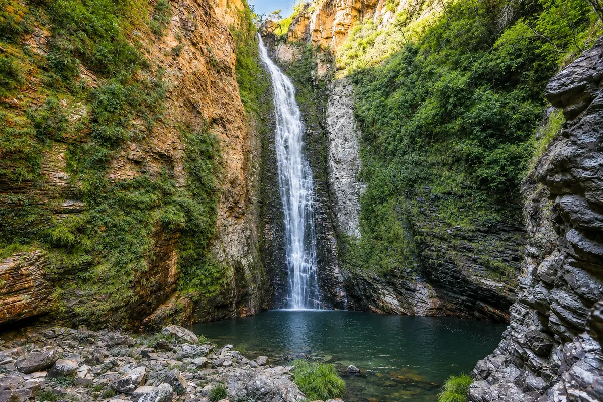
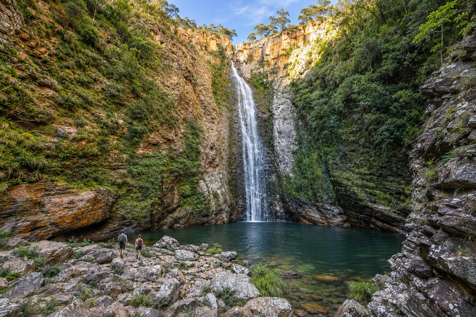
A drop of about 100 meters at the bottom of a canyon whose cliffs are covered in green, in the Vila de São Jorge area, in Alto Paraíso de Goiás. You reach it by a long trail with river crossings, and the very cold swimming hole lies at the foot of the fall.
In the photo: High drop and pool of Cachoeira do Segredo.
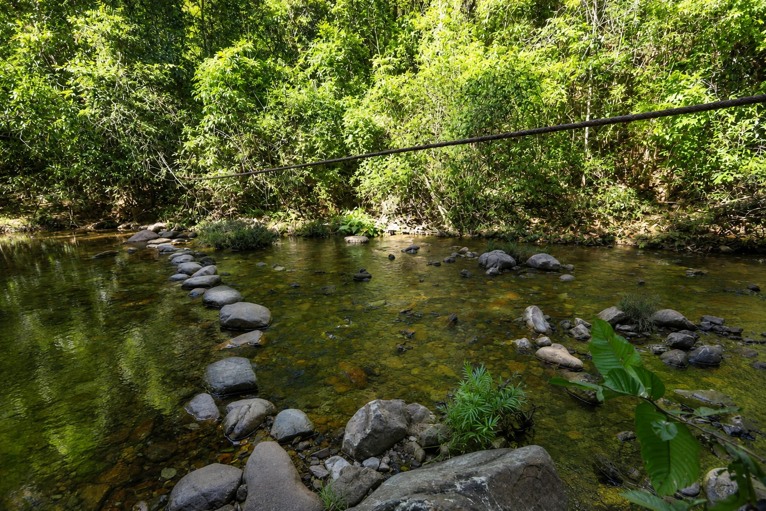
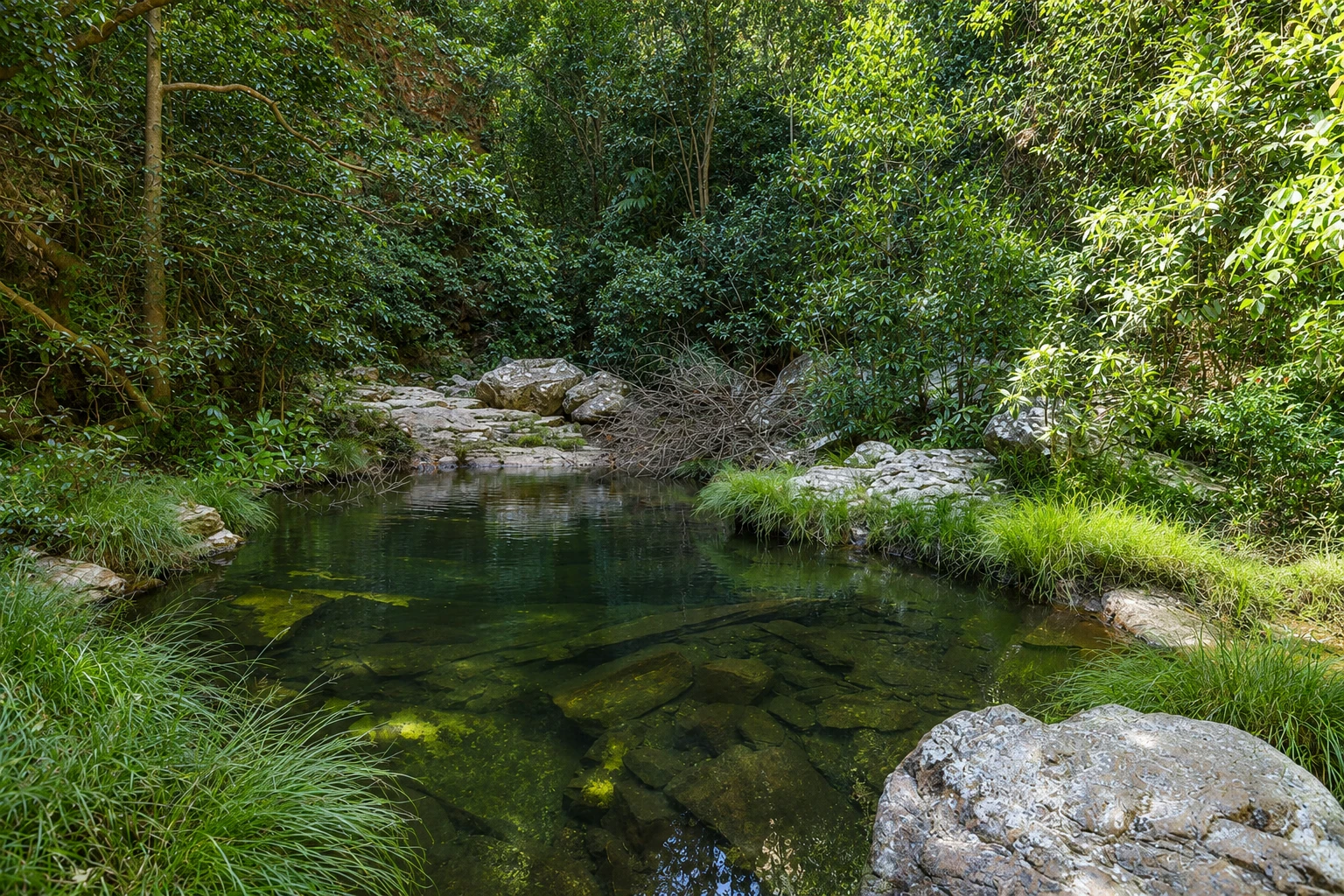
Illustrative images. The pictures in this guide are illustrations based on the real place, not photographs, and may differ from it.


A look at the place
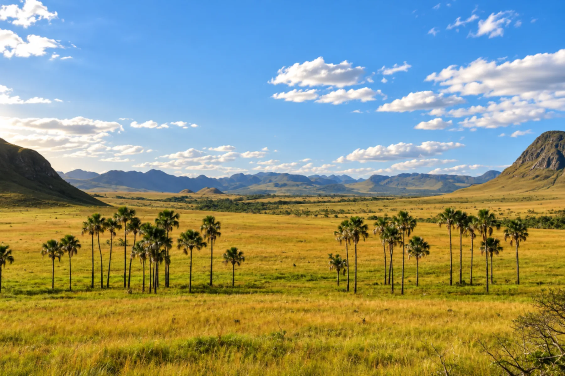
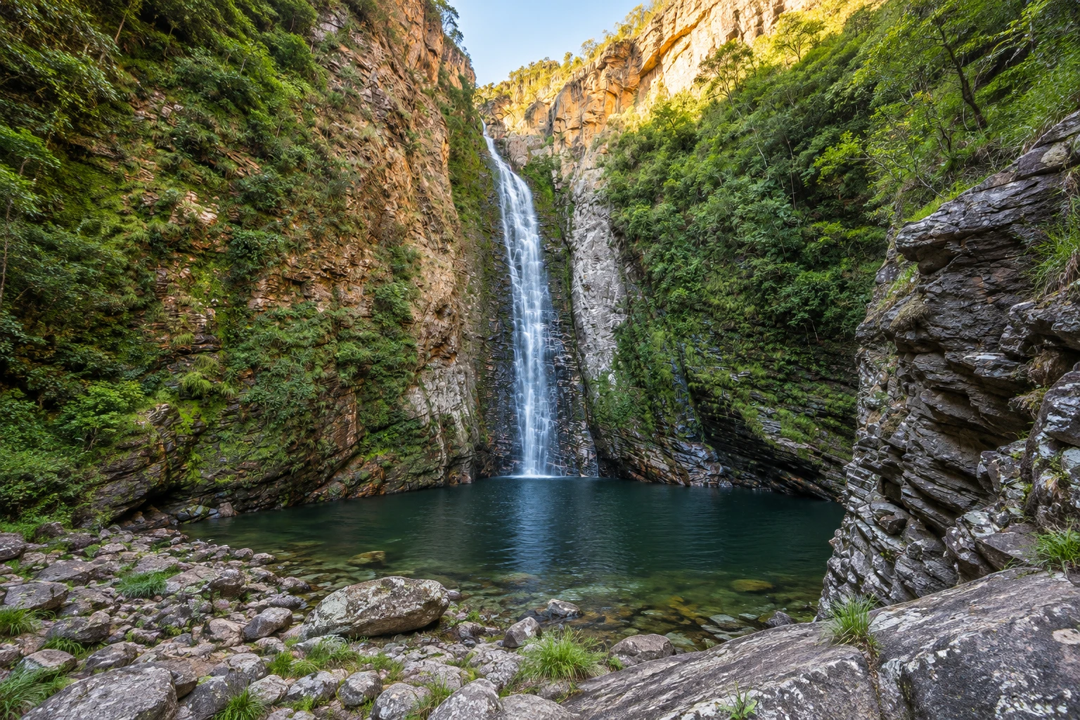
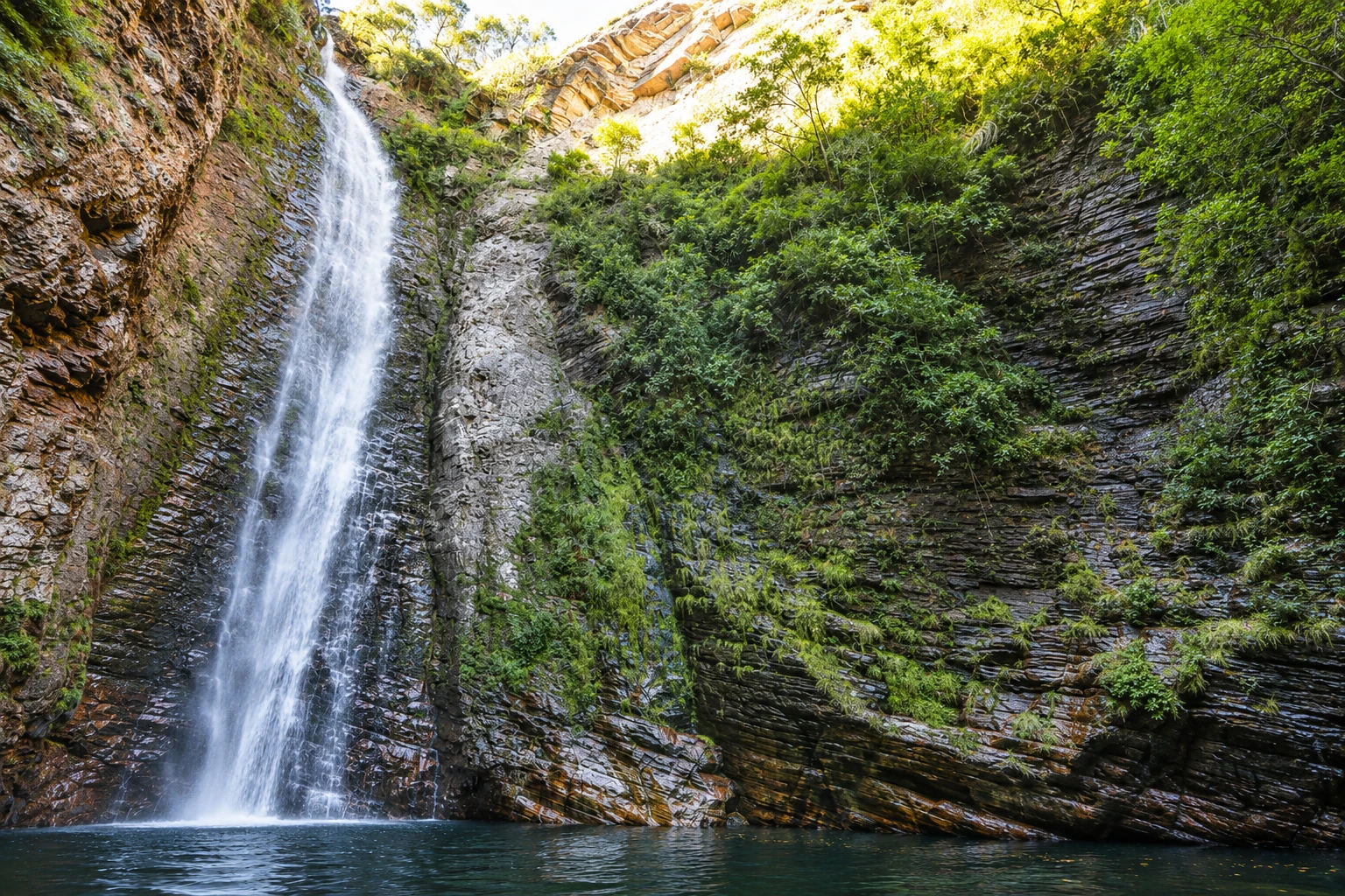
Cachoeira do Segredo in pictures
These pictures are illustrations based on the real place, not photographs. They may differ from the place.
Click the picture to enlarge it.
Discover
About Cachoeira do Segredo
Cachoeira do Segredo is located in the rural area of Alto Paraíso de Goiás, southwest of Vila de São Jorge, outside Chapada dos Veadeiros National Park. The fall is about 100 meters high and plunges into a narrow canyon of rock cliffs covered with vegetation, ending in a wide, very cold pool.
The approach is part of the experience. The trail is well marked and almost entirely shaded by forest, but it is long: in the dry season, when cars can reach the last parking area, the round trip is roughly 9 km; in the rainy season, when vehicles stop before the river crossing, it can reach 16 km. Along the route there are four crossings through shallow rivers.
When you arrive, the fall appears at the bottom of the canyon between the green cliffs. Swimming in the pool is icy, and the rocks around it provide places to rest before returning.
Access is via private property, where a separate entrance fee is charged; check the gatehouse for the current rates and trail conditions, which change with the river levels. Because of the length of the route, it is advisable to leave early and bring water and a snack.
Cachoeira do Segredo pairs well with a stay in Vila de São Jorge, which is also a base for Vale da Lua and the park’s trails.
Before you go
Practical information
Cidade Turismo reviews its information regularly, but something may have changed. Check with the place before planning your trip.
How much time to set aside
A full day: 5 to 8 hours including the hike, time at the waterfall and return, depending on the season.
Best time
From May to September, in the dry season, the rivers are lower, crossings are easier, and the trail is shorter because cars can get closer. From October to April the fall usually has more water, but the trail becomes longer and river levels can rise quickly on rainy days.
How to get there
From Alto Paraíso de Goiás, follow GO-239 to Vila de São Jorge, about 36 km. From São Jorge, continue another 11 km on asphalt along GO-239, in the direction away from Alto Paraíso, and turn left at the waterfall sign; the remainder is a dirt road to the parking area and start of the trail.
Tip
Set out early, wear footwear that can get wet and bring water, snacks and a bag to carry your trash back. On days of heavy rain at the headwaters, do not cross rivers with a current: wait or turn back.
Get your questions answered
Frequently asked questions about Cachoeira do Segredo
How high is Cachoeira do Segredo?
About 100 meters, dropping into a canyon with cliffs covered in vegetation.
How many kilometers is the trail to Cachoeira do Segredo?
It depends on the season. In the dry season the round trip is about 9 km; in the rainy season, when cars stop before the river, it can reach 16 km.
How do I get to Cachoeira do Segredo?
From Vila de São Jorge, drive 11 km on GO-239 in the direction away from Alto Paraíso, turn left at the sign and continue on a dirt road to the trailhead.
Does the trail to Cachoeira do Segredo cross rivers?
Yes, there are four crossings through shallow rivers. Wear footwear that can get wet and avoid crossing when the current is strong.
Is Cachoeira do Segredo inside the National Park?
No. It is on private property in the rural area of Alto Paraíso, southwest of Vila de São Jorge, with a separate entrance fee.
Beyond the guide


