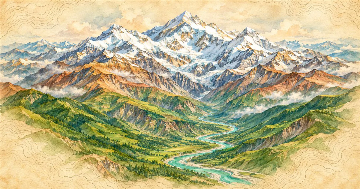
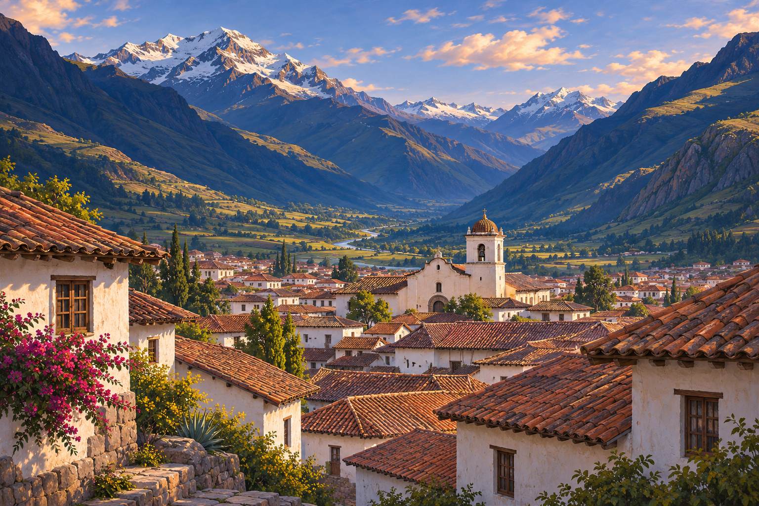
Illustrative images. The pictures in this guide are illustrations based on the real place, not photographs, and may differ from it.

Get it on Google Play

Interactive maps

Land relief and the highest mountains

See the world’s mountains, plateaus and plains. Tap mountains or search by name to compare the heights of the most famous peaks side by side.

Share: WhatsApp

How to use the map

The map shows the Earth’s shaded relief: colors and shadows indicate where mountains, plateaus and plains are. Triangles mark mountains, and inverted triangles mark places below sea level.

Zoom in on the map to see more mountains. Tap one, or search by name in the field above the map, and it will be added to the comparison view alongside the others at the same scale.

The buttons for the highest peaks of each continent go directly to Everest, Aconcágua, Denali, Kilimanjaro, Elbrus, Vinson Massif, Puncak Jaya and Pico da Neblina, the highest in Brazil.

Loading the map…

Zoom in to see more mountains and tap one to compare

Height comparison

    The highest on each continent

    mountainbelow sea level

    Shaded relief: Tom Patterson, Natural Earth (public domain). Mountains and outlines: Natural Earth (public domain), with the latest official heights of Everest, Aconcagua, Denali, Pico da Neblina and Pico da Bandeira.

    The highest mountains in the world
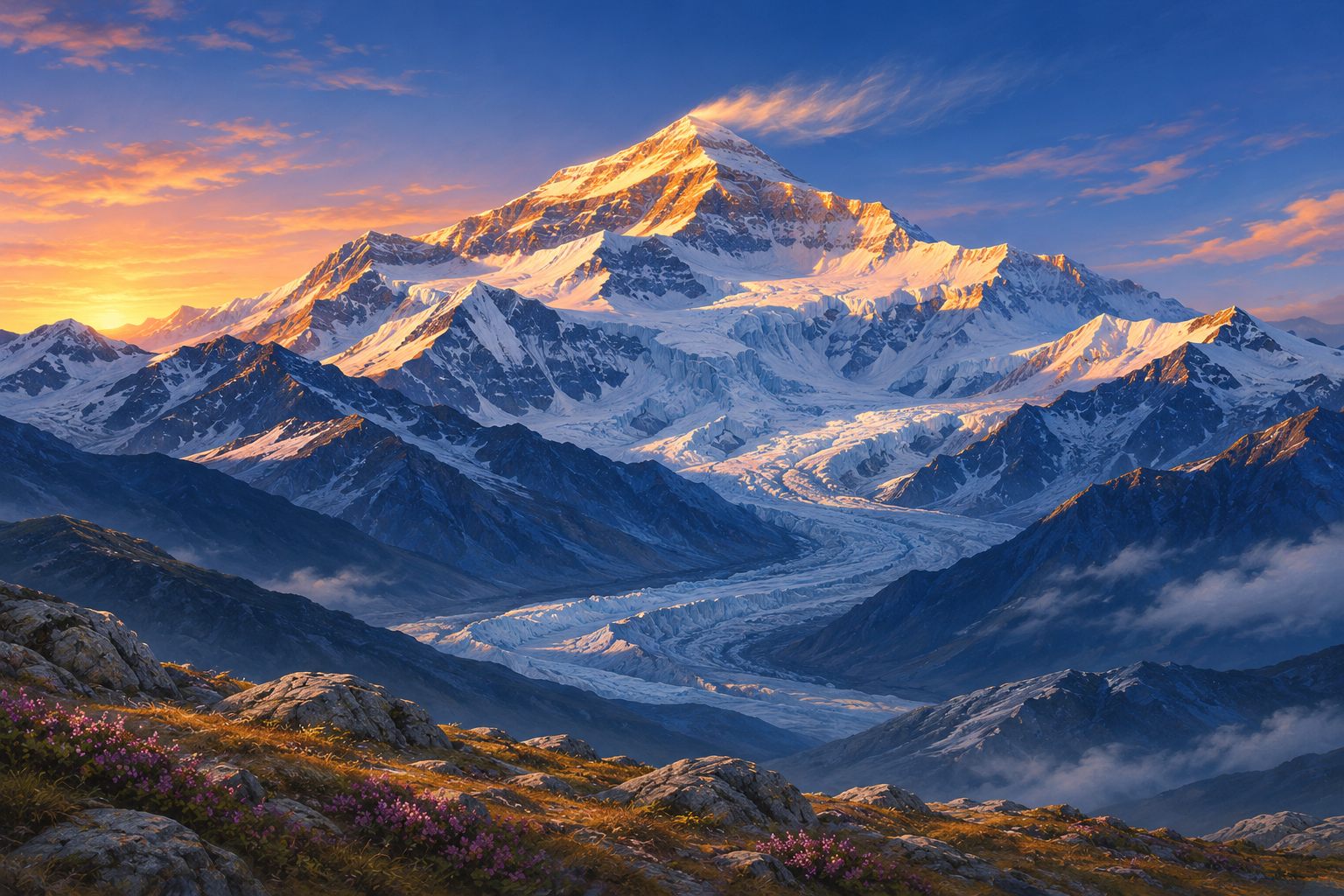
    Mount Everest is 8,849 meters above sea level.
    Mount Everest is 8,849 meters above sea level.

    The highest mountains form where tectonic plates meet. The Himalaya began rising about 50 million years ago when the Indian Plate started pushing the Asian Plate, and it still grows by a few millimeters each year. The 14 peaks over 8,000 meters are located there and in the Karakoram; the tallest is Mount Everest, on the border between Nepal and China, measured at 8,849 meters in 2020.

    Outside Asia, the highest mountain is Aconcágua, in Argentina, at about 6,961 meters. It is in the Andes, the largest continuous mountain chain on the planet.

    The highest peaks of each continent form the so‑called Seven Summits, a well‑known challenge among mountaineers: Everest, Aconcágua, Denali, Kilimanjaro, Elbrus, Vinson Massif and, in Oceania, Puncak Jaya or Mount Kosciuszko, depending on the list used.
    Which is highest depends on how you measure it

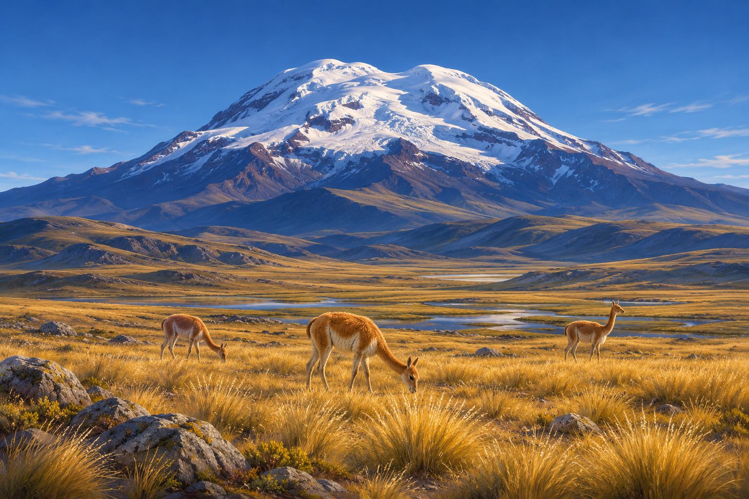
    The summit of Chimborazo in Ecuador is the surface point farthest from the center of the Earth.
    The summit of Chimborazo in Ecuador is the surface point farthest from the center of the Earth.

    Everest, at 8,849 meters, is the highest mountain above sea level. But measured from its base on the ocean floor, Mauna Kea in Hawaii exceeds 10,000 meters, although only about 4,200 meters rise above the water.

    And the surface point farthest from the center of the Earth is the summit of Chimborazo in Ecuador, at 6,263 meters. Because the Earth is slightly flattened at the poles and bulges at the equator, its summit is about 2 kilometers farther from the center than Everest’s.

    Each measurement answers a different question. The sea-level measurement is the one used on maps, road signs, and mountaineering records.

    Brazil's relief

    Pico da Neblina, in the Amazon, is Brazil’s highest point at 2,995 meters.
    Pico da Neblina, in the Amazon, is Brazil’s highest point at 2,995 meters.

    Brazil does not have mountain chains like the Andes. The relief is formed mainly by plateaus and plains, with old, time‑worn ranges.

    The country’s highest point is Pico da Neblina, in Amazonas, near the border with Venezuela, at 2,995 meters. The second is Pico 31 de Março, next to it, and the third is Pico da Bandeira, between Minas Gerais and Espírito Santo, at 2,892 meters.

    The Serra do Mar and Serra da Mantiqueira in the Southeast concentrate many of the country’s most popular mountain destinations, such as Campos do Jordão, Monte Verde and Itatiaia.

    Places below sea level

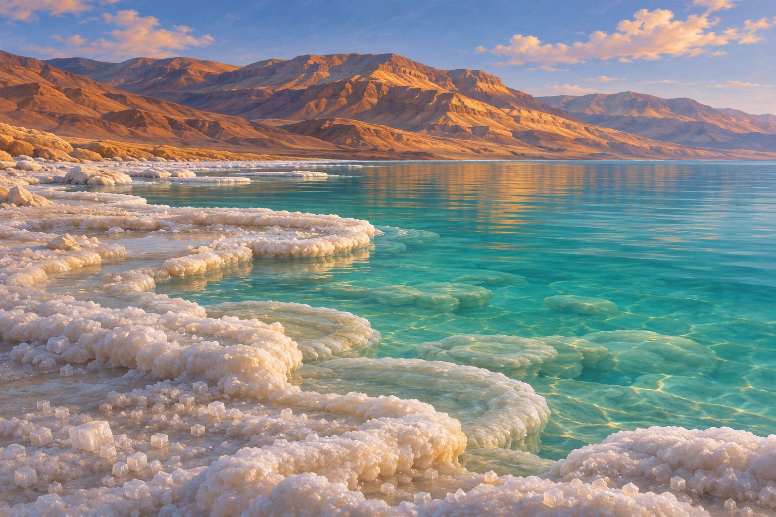
    The shore of the Dead Sea is the lowest point on dry land on the planet.
    The shore of the Dead Sea is the lowest point on dry land on the planet.

    Some regions of the Earth lie below sea level. The lowest on dry land is the shore of the Dead Sea, between Israel, Jordan and the West Bank, more than 430 meters below sea level.

    Other examples are Death Valley in the United States, the Qattara Depression in Egypt, and Lake Assal in Djibouti. On the map they appear with a blue inverted triangle.

    Altitude during travel

    In cities above 2,500 meters, the thin air calls for caution during the first days.
    In cities above 2,500 meters, the thin air calls for caution during the first days.

    Many destinations in South America are well above sea level: Bogotá at about 2,600 meters; Quito at about 2,850 meters; Cusco at about 3,400 meters; and La Paz at over 3,600 meters.

    Above roughly 2,500 meters, the air contains less oxygen, and it’s common to feel headaches, tiredness, and shortness of breath in the first days. Ascending gradually, taking it easy at the start, and drinking plenty of water usually help; people with health problems should consult their doctor before traveling.

    In Brazil, the terrain is lower: Pico da Neblina, the highest point, is 2,995 meters, and the most visited ranges, like the Mantiqueira and the Serra dos Órgãos, lie between 1,000 and 2,800 meters.

    Frequently asked questions

    What is the highest mountain in the world?

    Everest, on the border between Nepal and China, at 8,849 meters above sea level, according to the measurement made by the two countries in 2020.

    What is the highest mountain in Brazil?

    Pico da Neblina, in Amazonas, at 2,995 meters, according to IBGE. It is located in Pico da Neblina National Park, near the border with Venezuela.

    What is the highest mountain in South America?

    Aconcágua, in Mendoza province, Argentina, at about 6,961 meters. It is also the highest mountain outside Asia.

    What are the Seven Summits?

    They are the highest mountains of each continent: Everest, Aconcágua, Denali, Kilimanjaro, Elbrus, Vinson Massif and, in Oceania, Puncak Jaya or Mount Kosciuszko, depending on the list used.
    What is the lowest place on Earth on dry land?

    The shore of the Dead Sea, more than 430 meters below sea level. The lake’s level has been dropping year after year.

    Are the altitudes on the map exact?

    They are the recorded altitudes for each peak, using the most recent official measurements for the best‑known cases. New measurements can change values by a few meters, and the position of points on the map is approximate.