Jugovzhodna Slovenija

Region · Thermal Pannonian Slovenia

Jugovzhodna Slovenija

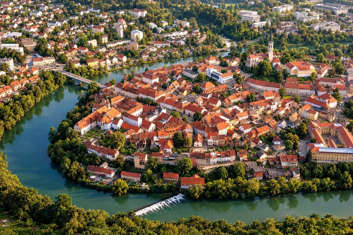
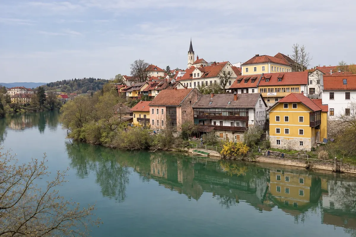
Novo mesto and the Krka River, Otočec Castle, the Pleterje Charterhouse, the Kočevje forests and the Kolpa River in Bela krajina.

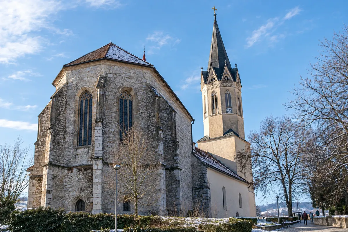
In the photo: St. Nicholas Cathedral in Novo mesto.

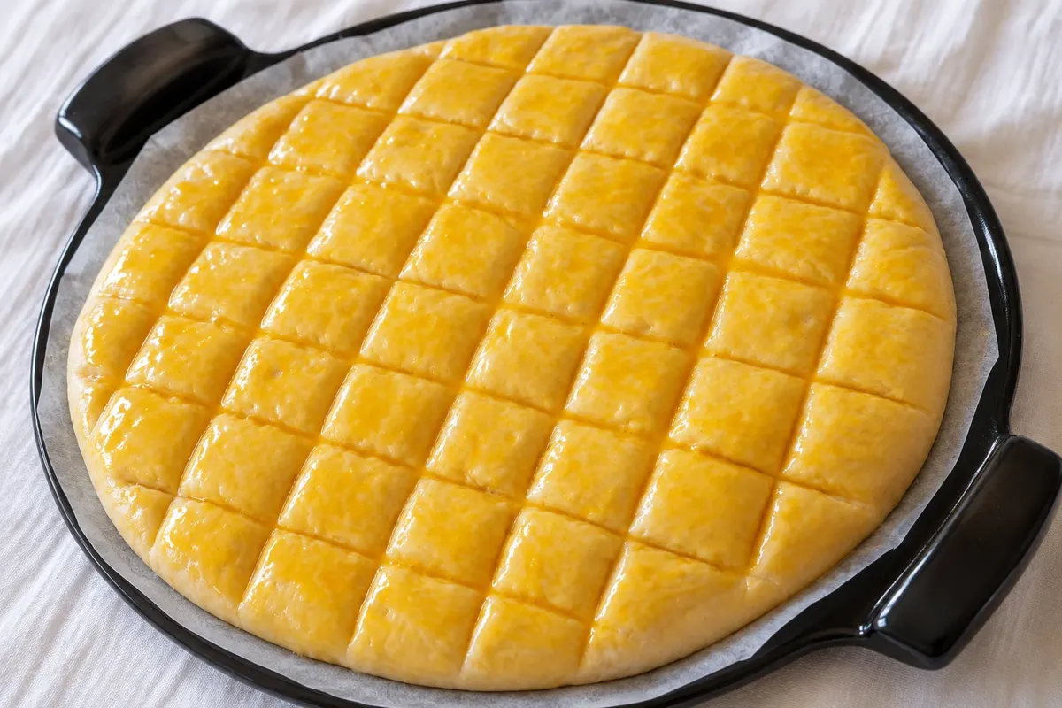
Illustrative images. The pictures in this guide are illustrations based on the real place, not photographs, and may differ from it.

Get it on Google Play

The region

Get to know Jugovzhodna Slovenija

Jugovzhodna Slovenija, the southeast of Slovenia, is the largest of the twelve statistical regions by area. It brings together Dolenjska around the Krka River, the Kočevje and Ribnica forests to the west, and Bela krajina in the south along the Kolpa River at the border with Croatia. Novo mesto is the largest town.

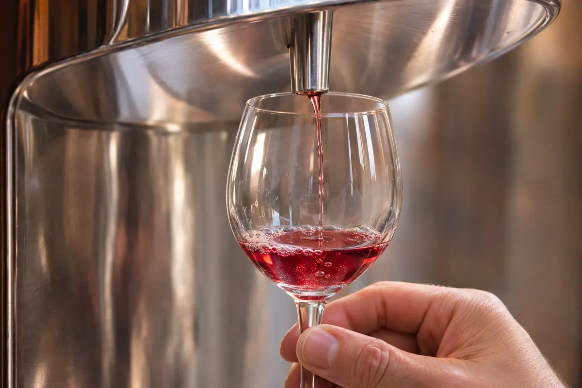
Novo mesto sits on a bend of the Krka, with the historic center perched on the riverbank. The Dolenjska Museum houses the situlas, decorated Bronze Age bronze vessels found in the surroundings. Downriver, Otočec Castle was built on a small island in the Krka. Near Šentjernej, the Pleterje Charterhouse is a monastery of Carthusian monks, with an open-air museum of rural houses next to it. The region produces cviček, a low-alcohol wine made from red and white grapes.

To the west, the Kočevje forests cover a large part of the territory and are home to brown bears, wolves and lynx. The Krokar primeval forest is one of Slovenia’s stretches of the beech forests World Heritage site. In Ribnica, the tradition of suha roba—handmade wooden goods—is kept alive by artisans, and the town’s castle has a museum about it.

In Bela krajina, the Kolpa River has calm stretches for swimming and canoeing in summer. Metlika and Črnomelj are the main towns, and the landscape features birch groves called steljniki. The pisanice, hand-decorated Easter eggs, are a regional tradition. Žužemberk, on the Krka, has a restored castle above the river.

Flavors of Slovenia

To try in Jugovzhodna Slovenija

Discover other flavors of Slovenia

Destinations

1 destination in Jugovzhodna Slovenija

When to go

Swimming and canoeing on the Kolpa and Krka is a summer activity, from June to September. In autumn come the cviček grape harvest and the colorful Kočevje forests. The spas at Dolenjske Toplice and Šmarješke Toplice operate year-round. Winters are cold, and the forests often have snow.

Getting there

Novo mesto is about 70 km from Ljubljana via the A2, which continues to Zagreb. Trains from Ljubljana go to Novo mesto, Črnomelj and Metlika, and regional buses complete the network. The airports of Zagreb (ZAG) and Ljubljana (LJU) are at similar distances, between about one hour and one and a half hours by car. For the Kočevje forests and the Kolpa River, a car is very helpful.

Your questions

Frequently asked questions about Jugovzhodna Slovenija

What to see in Novo mesto and the Krka valley?

Novo mesto’s historic center on the river bend, the Dolenjska Museum with Iron Age situlas, Otočec Castle on an island in the Krka, the Pleterje Charterhouse and Žužemberk Castle. The spas of Dolenjske Toplice and Šmarješke Toplice are nearby.

Can you swim in the Kolpa River?

Yes, in calm stretches and river beaches of Bela krajina, between June and September, when the water is usually warmer. The river forms the border with Croatia, and canoes and kayaks are available for rent in riverside villages.

Can you see bears in the Kočevje forests?

The Kočevje forests have one of Europe’s largest brown bear populations, and there are guided wildlife-watching sessions from hides, by prior reservation. Seeing a bear is not guaranteed, since it is a wild animal. On trails, follow local guidance.

Do you need a car in Jugovzhodna Slovenija?

For Novo mesto, Metlika and Črnomelj, no—you can use trains from Ljubljana. For Otočec, Pleterje, Žužemberk, the Kočevje forests and the Kolpa river beaches, a car makes things easier, because regional buses are infrequent.

Pomurska Podravska Koroška Savinjska Zasavska Posavska Jugovzhodna Slovenija Primorsko-notranjska Osrednjeslovenska Gorenjska Goriška Obalno-kraška
Tap a region to see its destinations. Boundaries: Geodetska uprava Republike Slovenije (GURS), Register prostorskih enot, 28/02/2024, licença CC BY 4.0. Adapted by Cidade Turismo.