Banská Bystrica

Region · Central Slovakia

Banská Bystrica

The mining towns of Banská Štiavnica and Kremnica, Banská Bystrica and the National Uprising, the southern side of the Low Tatras and the traditions of Podpoľanie.

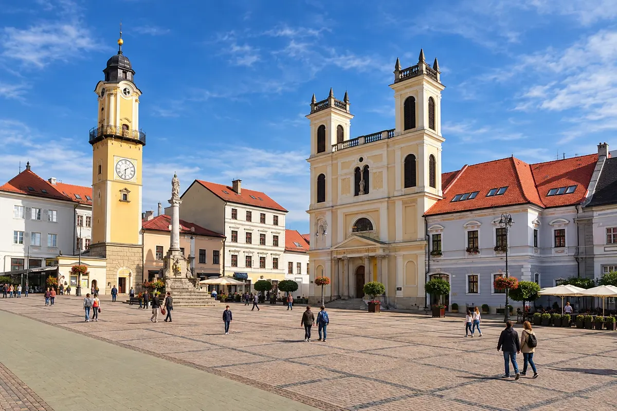
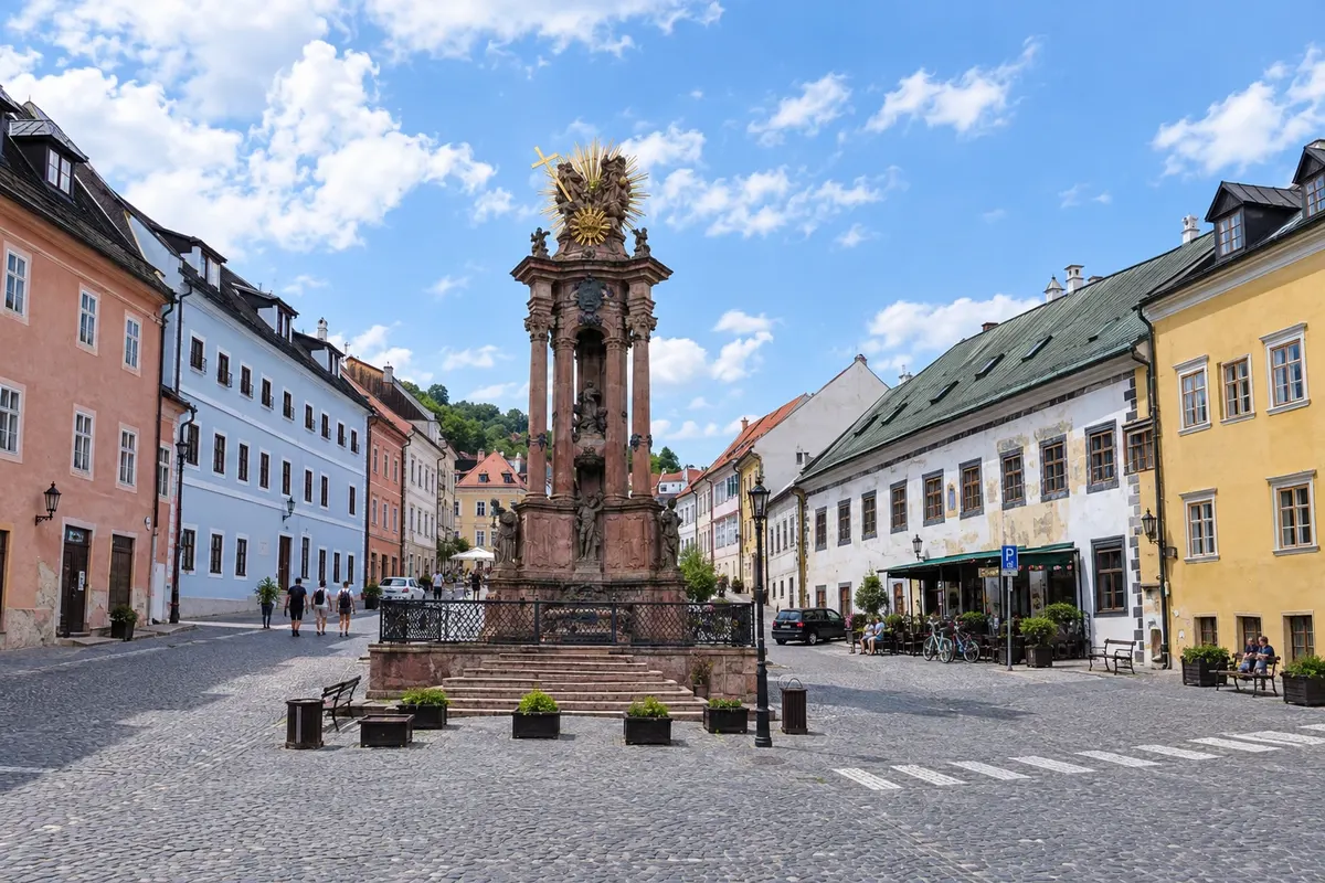
In the photo: Central square of Banská Bystrica.

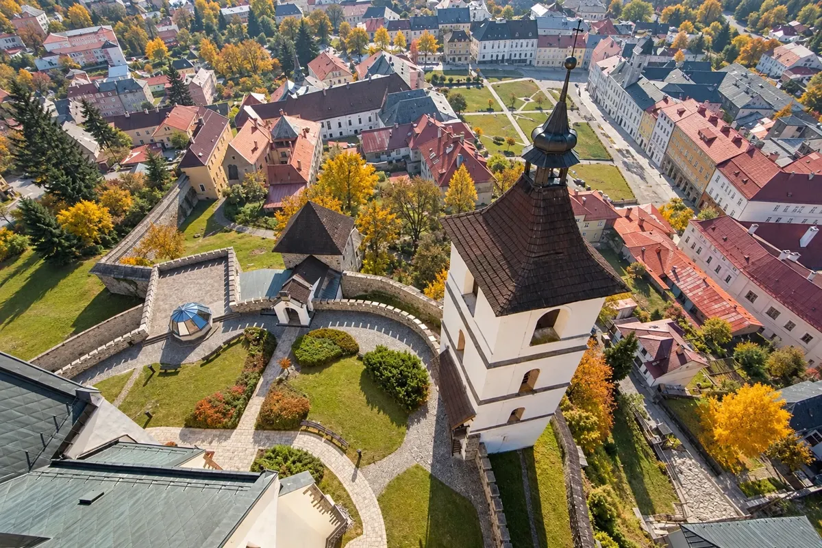
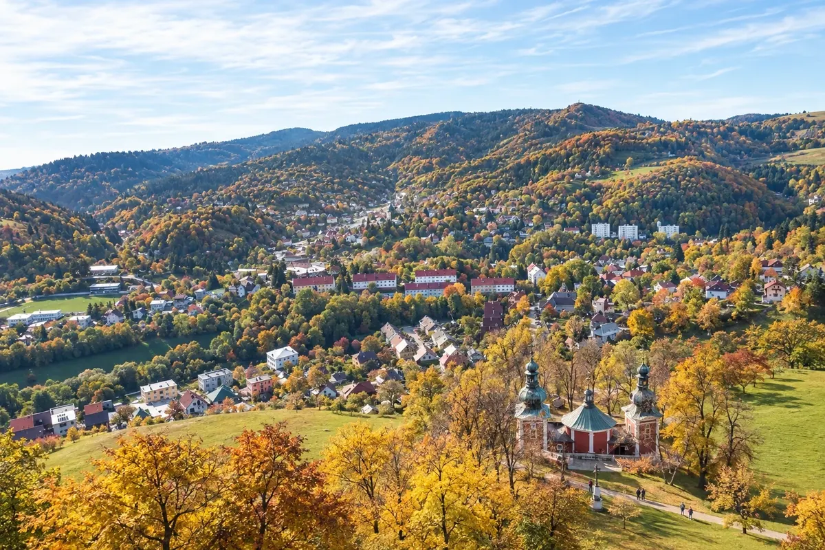
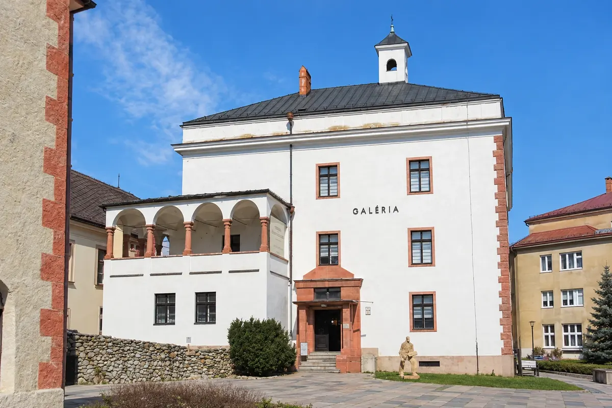
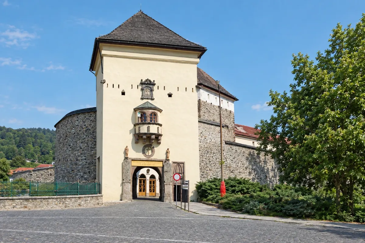
Illustrative images. The pictures in this guide are illustrations based on the real place, not photographs, and may differ from it.

Get it on Google Play

The region

Get to know Banská Bystrica

The Banská Bystrica region is the largest in Slovakia by area and stretches from the ridges of the Low Tatras in the north to the Hungarian border in the south. In the center, the volcanic mountains of Štiavnica and Kremnica guarded for centuries the silver and gold mines that enriched the Kingdom of Hungary.

Banská Štiavnica, a UNESCO World Heritage Site since 1993, is the best known of the mining towns. the miners’ houses climb the slopes between the Old Castle, the New Castle and the baroque calvary, and around them lie the tajchy, artificial lakes built to power the mine machinery. The town had one of the world’s first mining academies, founded in 1762.

Kremnica has a mint in operation since the 14th century and an urban castle with the Church of Saint Catherine. Banská Bystrica, the capital, grew on copper; its square is lined with merchants’ houses, and the Museum of the Slovak National Uprising commemorates the 1944 uprising against the German occupation, which had the city as its center.

To the north, the southern slope of the Low Tatras has the Tále and Krupová resorts and the Bystrá Cave. In Podpoľanie, around Detva, the traditions of the fujara, a pastoral flute recognized by UNESCO as intangible heritage, and the July folk festivals are still alive. In the south, the Gemer region has Gothic churches with medieval frescoes.

Flavors of Slovakia

To try in Banská Bystrica

Discover other flavors of Slovakia

Destinations

2 destinations in Banská Bystrica

When to go

May to October is the best time for Banská Štiavnica, and in summer, generally July to August, the tajchy welcome swimmers. In September the town holds the Salamander festival, with a nocturnal miners’ parade. Detva hosts the folk festivals under Poľana in July. In winter, Tále and the southern slopes of the Low Tatras open for skiing, generally from December to March.

Getting there

Banská Bystrica is about 210 km from Bratislava via the R1 expressway, through Nitra and Zvolen, and has trains to Bratislava and Košice via Zvolen. Banská Štiavnica is served by a secondary line that branches from Hronská Dúbrava and by regional buses. Kremnica is about 35 km from Banská Bystrica via a mountain road. The nearest regular flights arrive at Bratislava (BTS).

Your questions

Frequently asked questions about Banská Bystrica

What to see in Banská Štiavnica?

The Old Castle and the New Castle, the Holy Trinity Square, the baroque calvary and the open-air mining museum, with a descent into a mine gallery. Around the town are the tajchy, such as Počúvadlo. One or two days are enough to explore the town at a relaxed pace.

What is the fujara?

It is a long pastoral flute, about 1.6 to 2 meters long, played in Podpoľanie in central Slovakia. The fujara and its music were recognized by UNESCO as intangible cultural heritage and appear at Detva’s folk festivals in July.

What was the Slovak National Uprising?

It was the armed uprising of August 1944 against the government allied with Nazi Germany and the German troops, centered in Banská Bystrica. The city museum tells the story of the uprising, and the date is a national holiday on August 29.

Can you ski on the southern side of the Low Tatras?

Yes. Tále has its own slopes, and the southern side of Chopok, from Krupová, is connected by cable car to the Jasná slopes on the northern side. Snow usually allows skiing between December and March; check conditions and cable car operation before you go.

Banská Bystrica Bratislava Košice Nitra Prešov Trnava Trenčín Žilina
Tap a region to see its destinations. Boundaries: geoBoundaries (dados do OpenStreetMap, licença ODbL). Adapted by Cidade Turismo.