The region
Get to know Bratislava
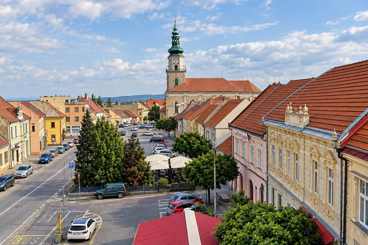
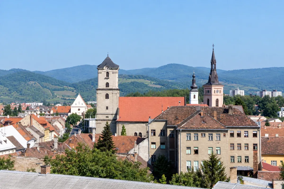
The Bratislava region is the smallest of Slovakia’s eight divisions, located at the far west of the country, next to the borders with Austria and Hungary. The Danube runs through the capital, the slopes of the Little Carpathians rise to the north, and the Záhorie plain stretches to the Morava River. Vienna is about 60 km from the Slovak capital.
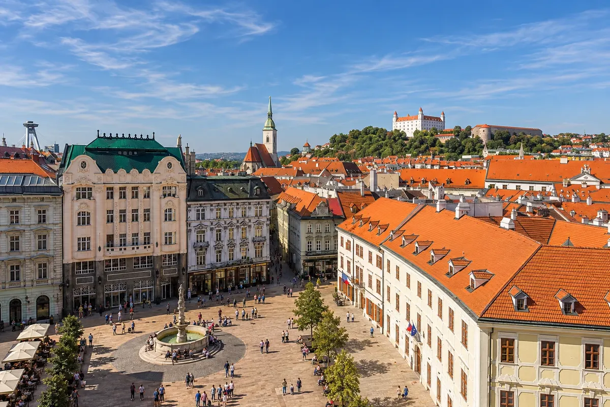
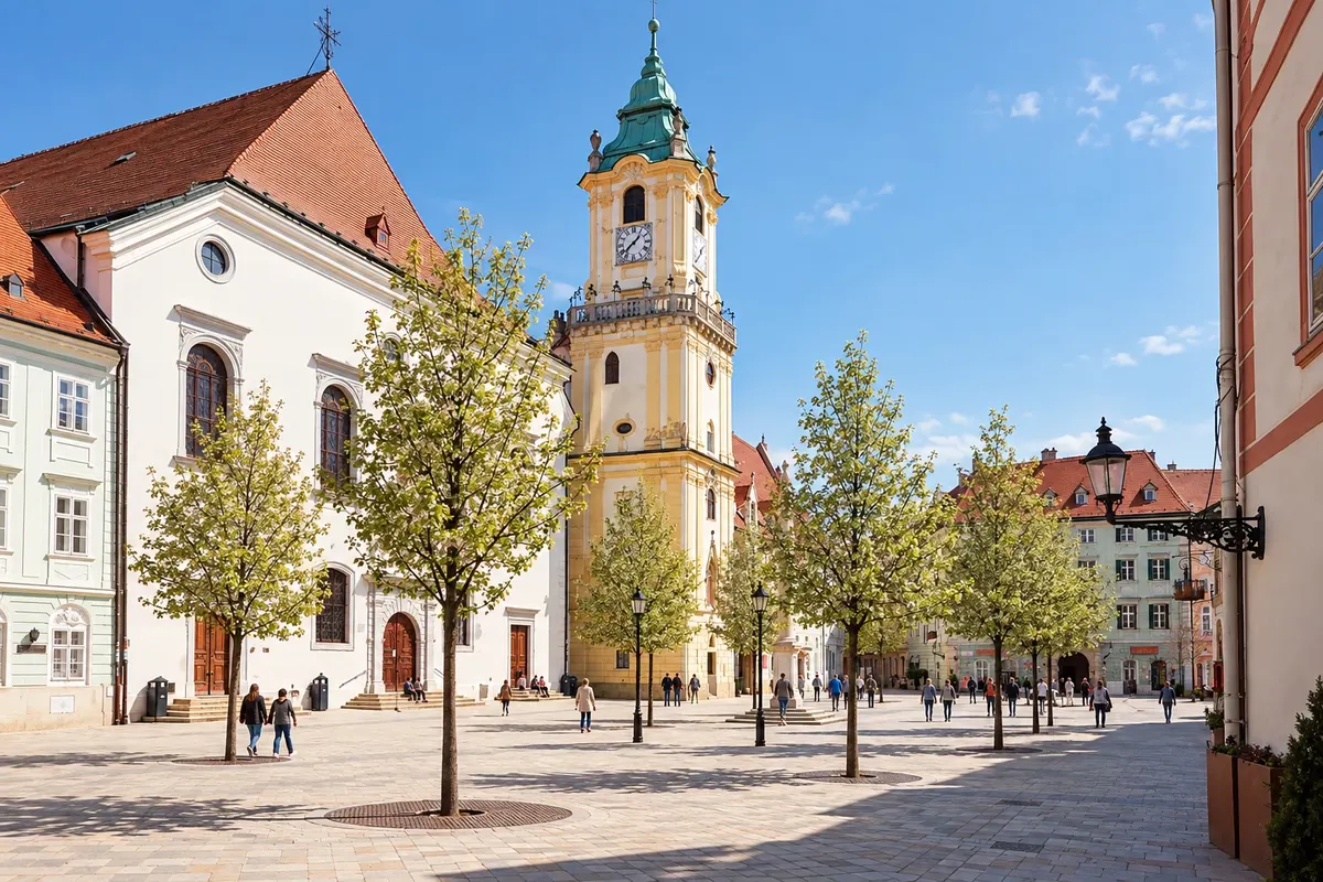
From 1536 to 1783, Bratislava, then called Pozsony in Hungarian and Pressburg in German, was the capital of the Kingdom of Hungary. In St. Martin’s Cathedral eleven kings and eight queens were crowned between 1563 and 1830. The castle, with a square plan and four towers, dominates the hill above the river; below it the historic center includes Michael’s Gate, the Primate’s Palace and the Main Square.
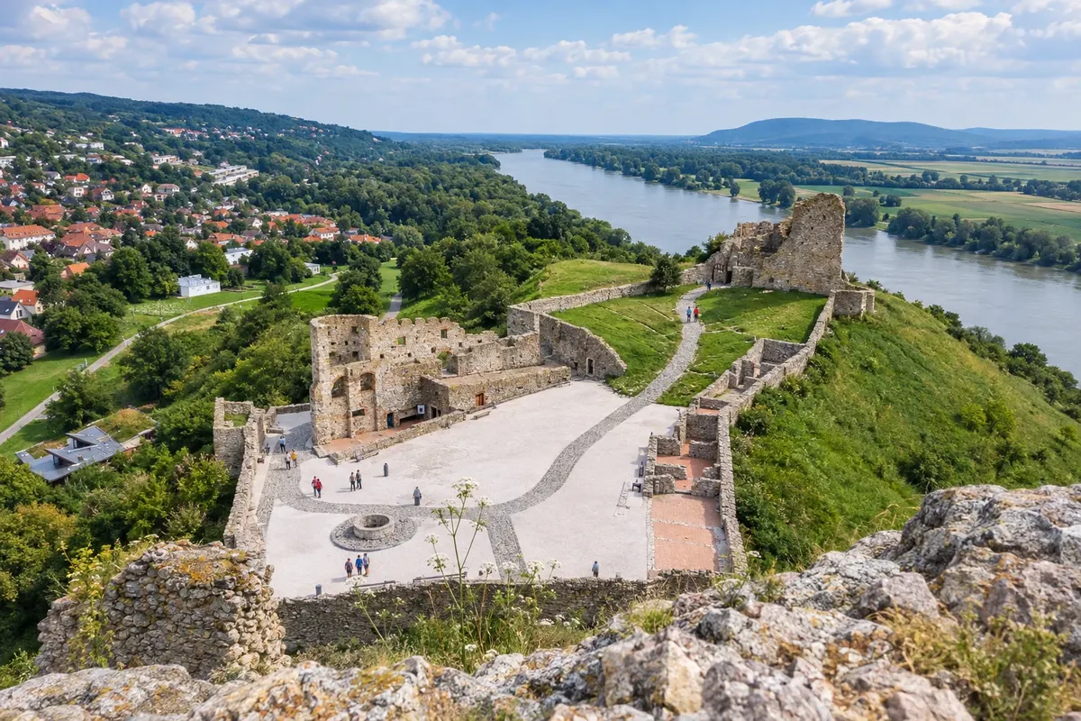
On the banks of the Danube are the SNP Bridge, with a lookout above its pylon, St. Elizabeth’s Church, known as the Blue Church, and, downstream, the Danubiana art museum on a peninsula at Čunovo. Devín Castle, in ruins on a rock, marks the meeting of the Morava and Danube rivers. In Rusovce, the Roman site of Gerulata is part of the Roman Empire’s Danube frontier and a UNESCO World Heritage site.
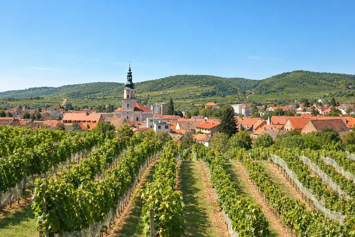
The Little Carpathians form the country’s best-known wine route, with Svätý Jur, Pezinok and Modra. Modra is the home of hand-painted pottery and the city where Ľudovít Štúr lived and is buried; he codified the written form of Slovak in the 19th century. In September the towns on the route hold grape harvest festivals, and near Častá stands Červený Kameň Castle.


 Brazil
 Argentina
 Bolivia
 Chile
 Colombia
 Ecuador
 Guyana
 French Guiana
 Falkland Islands (Malvinas)
 Paraguay
 Peru
 Suriname
 Uruguay
 Venezuela
 Germany
 Austria
 Belgium
 Croatia
 Denmark
 Spain
 Finland
 France
 Greece
 the Netherlands
 Hungary
 Ireland
 Iceland
 Italy
 Luxembourg
 Norway
 Poland
 Portugal
 the United Kingdom
 the Czech Republic
 Sweden
 Switzerland
 Turkey
 Canada
 the United States
 Mexico
 the Dominican Republic
 South Africa
 Australia
 Fiji
 New Zealand
 Papua New Guinea