Garopaba

Saint Catherine · Brazil

Garopaba

In the state of Saint Catherine.

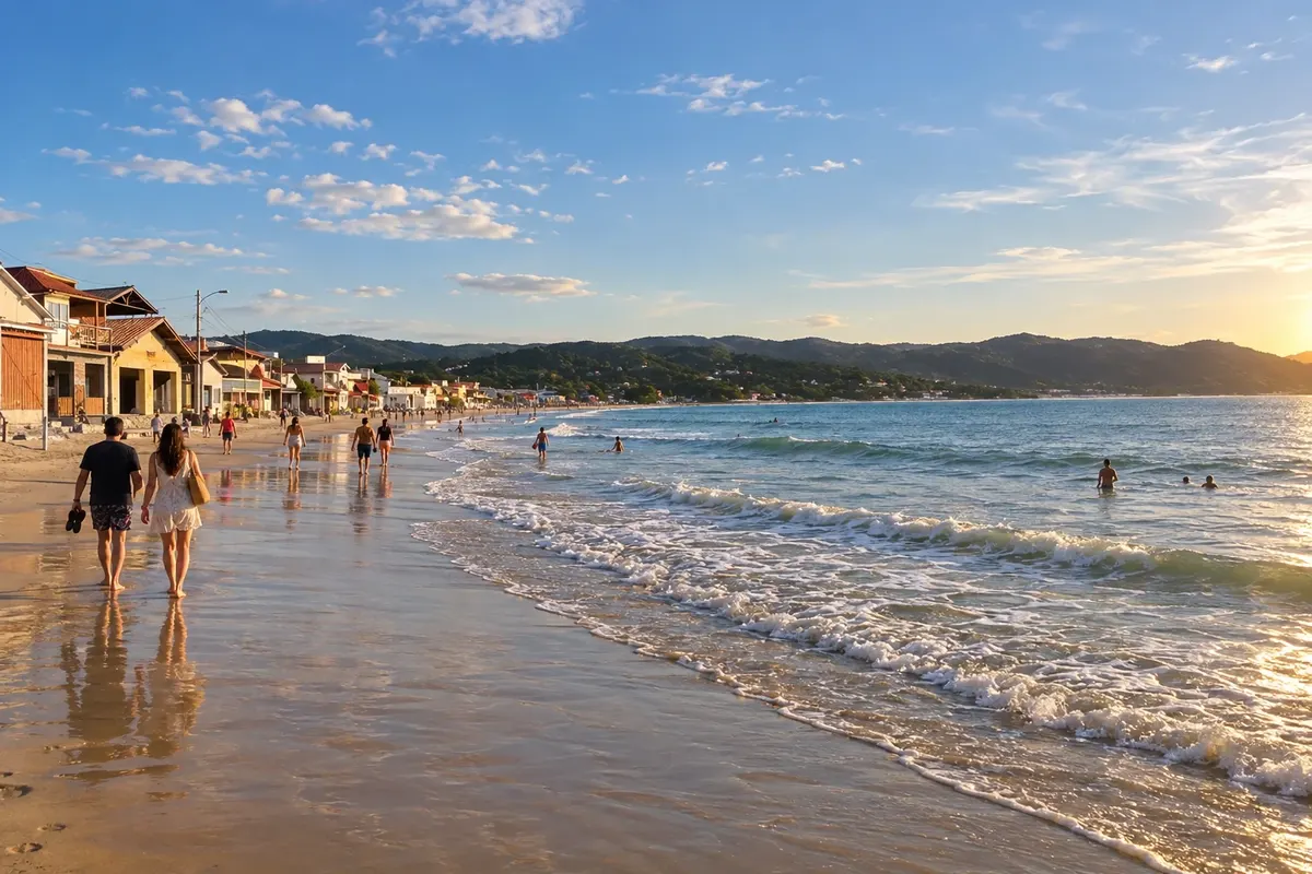
In the photo: Praia de Garopaba, Garopaba (SC)

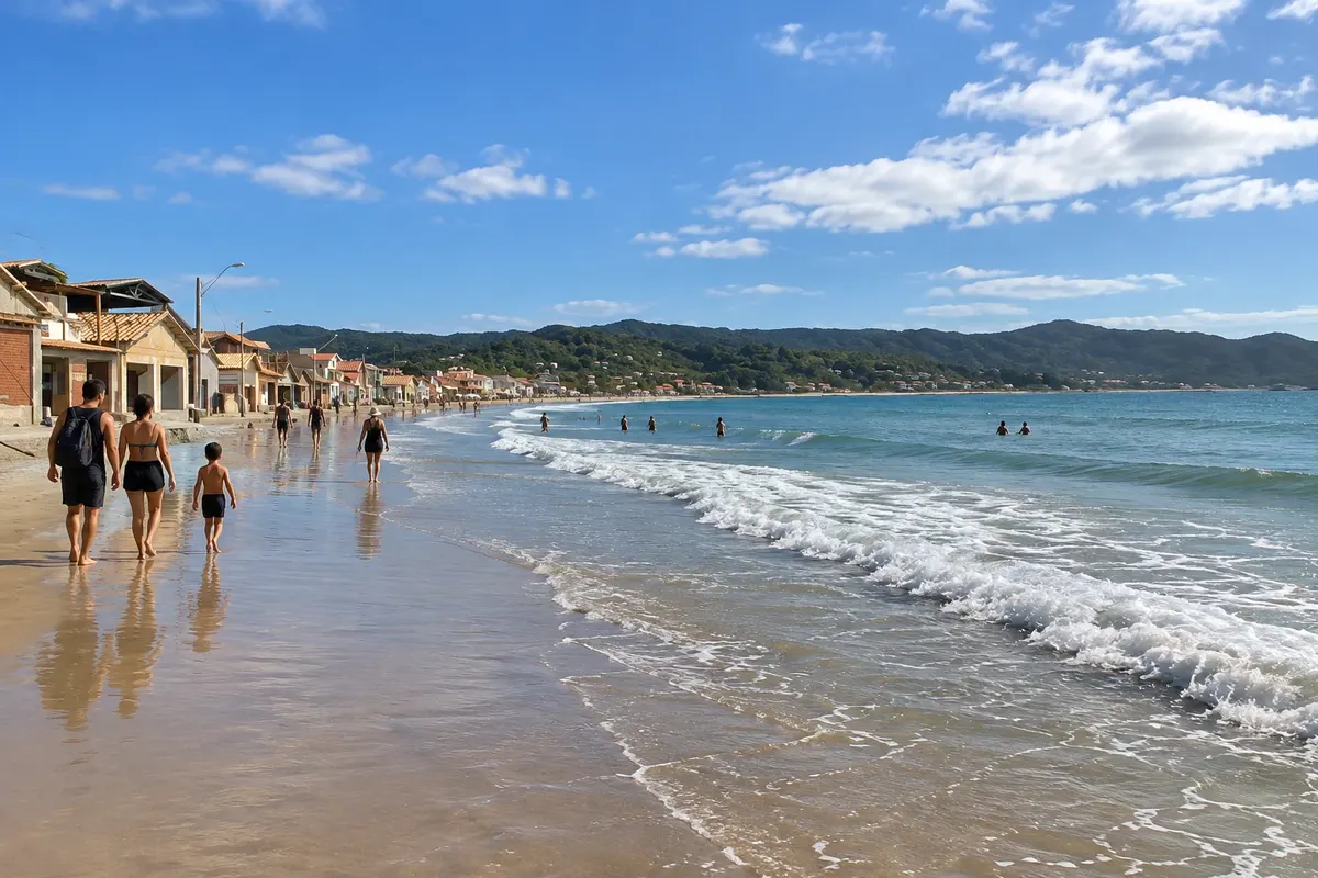
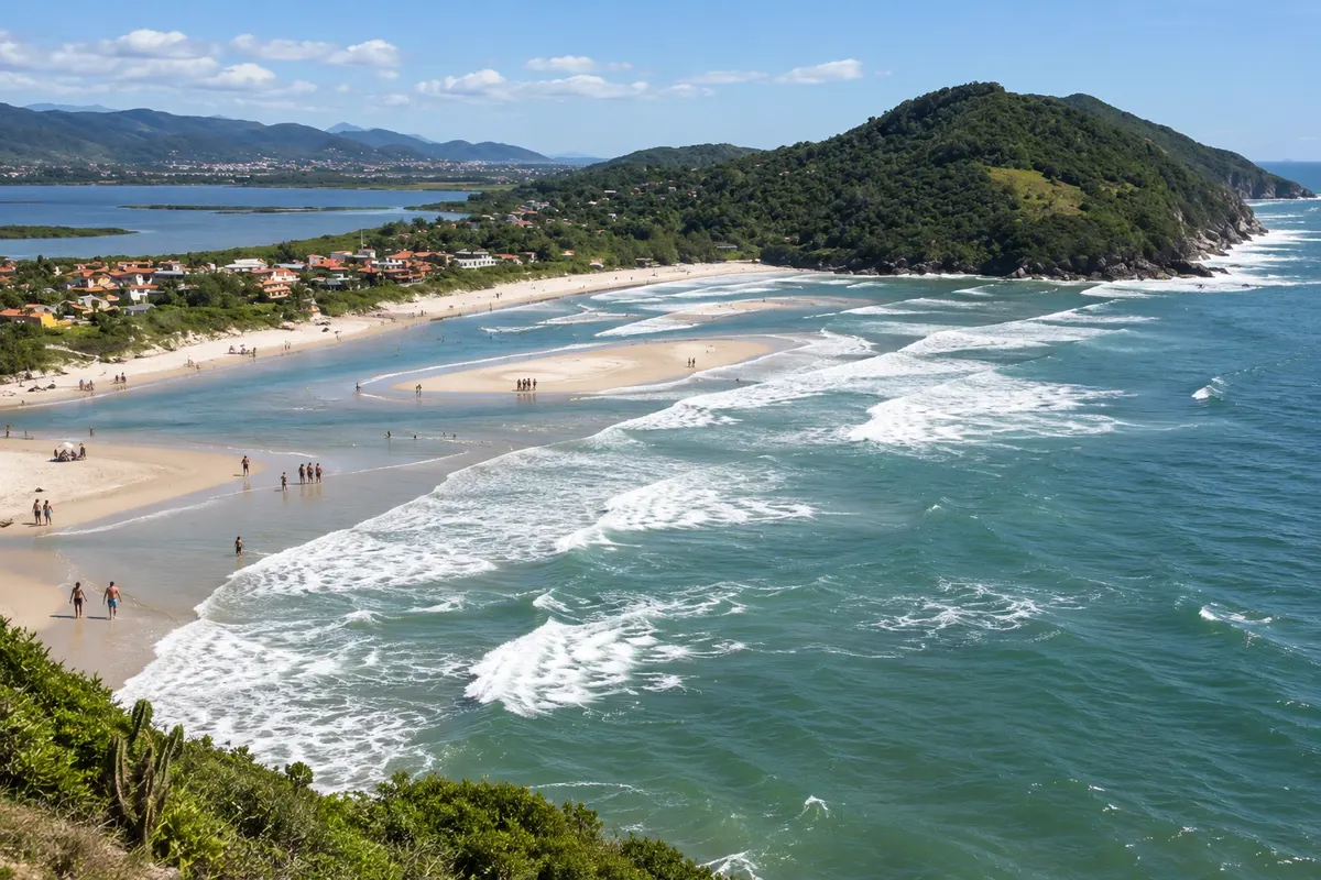
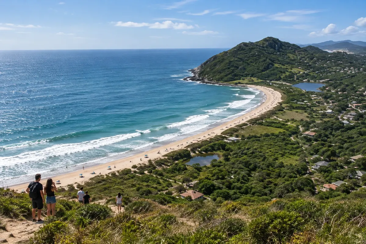
Illustrative images. The pictures in this guide are illustrations based on the real place, not photographs, and may differ from it.

Get it on Google Play Send your photos

The city

What to expect from Garopaba.

Garopaba brings together beaches, headlands and dunes on the Santa Catarina coast. Praia de Garopaba lets you combine the sand with walks through the urban core, while Ferrugem and Silveira are known for surfing. Dunas do Siriú complete the itinerary with a different landscape to enjoy while respecting the natural areas.

Garopaba is on the southern coast of Santa Catarina, about 70 km from Florianópolis, on a stretch where forested hills reach the sea. The name comes from Tupi–Guarani and means “boat cove,” which is what you see from the center: a sheltered bay with fishing canoes on the sand and a white church atop a rock.

The village grew around a whale-hunting operation. The São Joaquim chapel, from 1795, and the nearby manor, from where the hunt was managed, date from that period and form the small Historic Center on a point of Praia de Garopaba. Azorean heritage appears in artisanal fishing, manioc-flour mills and community festivals. Surfers arrived later, and the town came to be called the Surf Capital of Santa Catarina.

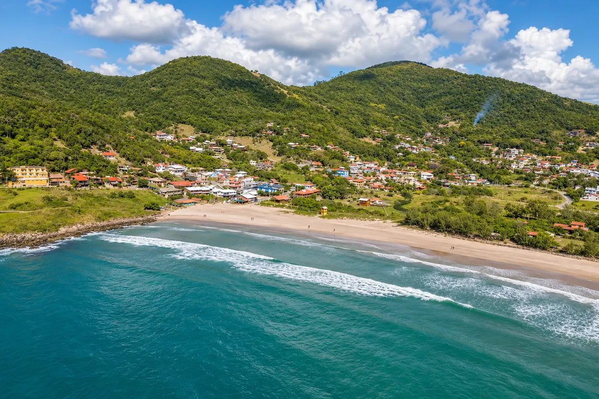
The municipality has ten beaches, from Gamboa in the north to Ouvidor in the south, and it’s useful to know their order before booking. Praia de Garopaba, the central beach, has calm water, a boardwalk, restaurants and most of the shops. From there you can walk to Preguiça and Vigia, two small sheltered coves with still water. To the north are Siriú, 9 km from the center, with about 4 km of sand and a dune field, and Gamboa, 15 km away, a fishing village on the border with Paulo Lopes.

To the south are the surf beaches. Silveira, 2.5 km from the center, has 1.6 km of coarse sand between two hills and waves that break over rock at the southern end. Ferrugem, 7 km away, combines natural pools for children in one corner and strong waves and a lively young scene in the other. A lagoon channel separates Ferrugem from Barra, and a coastal trail links Barra to Ouvidor, the municipality’s last beach. Beyond that begins Imbituba, with Praia Vermelha and Praia do Rosa, about 15 km from downtown Garopaba.

The municipality’s beaches lie within the environmental protection area created for southern right whales. From July to November they often approach the coves with their calves, with more sightings in September, and are watched from land, from viewpoints and rocky outcrops. From May to July it’s the season for artisanal mullet fishing, with canoes, nets and lookouts attentive to the sea on the central beach, Silveira and Gamboa.

The climate is humid subtropical, with rainfall spread through the year. From December to March averages range between 22 °C and 26 °C, with rain showers; this is high season and the town fills up between Christmas and Carnival. In July and August averages range from 15 °C to 18 °C and there is less rain; the sea cools, but this is when the biggest swells occur. April is mild and one of the driest months.

Two days are enough for the center and two or three beaches. With three or four days you can include the Siriú dunes, a coastal-trail hike and Gamboa. A car helps, because the beaches are spread along different roads.

Share: WhatsApp

Where to stay

68 places to stay in Garopaba.

Where to eat

9 places to eat in Garopaba.

Garopaba highlights and titles

Intangible heritage (IPHAN)
Sand dunes

The local experience

What to see in Garopaba

Beach

Praia de Garopaba

Praia de Garopaba runs along the town's central area and allows you to combine seaside scenery with an urban walk. It's an option for walking on the sand, observing the surroundings and setting aside time to rest.

Discover Praia de Garopaba

Beach

Praia da Ferrugem

Praia da Ferrugem is located in Garopaba and is known for surfing. The setting combines a stretch of sand, the sea and the coastal scenery, allowing you to enjoy the visit even without getting in the water.

Discover Praia da Ferrugem

Dunes

Dunas do Siriú

The Dunas do Siriú are part of Garopaba's natural landscapes. The outing allows you to observe the sand and the coastal surroundings, adding another setting to a trip focused on beaches.

Discover Dunas do Siriú

See 2 more places in Garopaba
Beach

Gamboa Beach

A beach about 1.5 km long at the northern tip of Garopaba, with a small artisanal fishing village on one side and quieter, more deserted sand on the other. It’s about 15 km from the town center, along a road that crosses hills, valleys and dunes.

Discover Gamboa Beach

Beach

Praia do Ouvidor

A semi-deserted beach of about 650 m on the south side of Garopaba, between Praia da Barra and Praia Vermelha. Light sand, dunes hidden behind the forest, rocky headlands and hills at both ends, with trails to the neighboring beaches.

Discover Praia do Ouvidor

To choose before you go

Tours in Garopaba

Where each tour starts, how long it takes, how it is done, what is included and the price range.

Garopaba Historic Center on foot: central beach, church and manor house

From Garopaba Beach promenade on foot, on your own 2 to 3 hours morning or late afternoon easy, with a short climb

Garopaba Beach, which locals call Praia Central, has calm waters and a promenade with restaurants, bars and cafés. A section of the sand is reserved for fishermen: that is where the canoes, nets and wooden huts storing fishing gear are located. From May to July, during the mullet season, it’s common to see groups gathered waiting for the school. At the right end of the beach the Historic Center begins. The Casa de Cultura houses the tourist information center, a gallery for temporary exhibitions, the municipal library, the fishermen’s collective shed and whale panels and bones that tell the time when the village lived off whaling. From the terrace you can see the cove with the boats. A staircase connects Praça 21 de Abril to the Church of São Joaquim, on top of a rock. The original chapel dates from 1795 and was gradually enlarged; the tower and the staircase date from 1937. The building is listed by the state of Santa Catarina. Next to it stands the manor house that used to be the main house of the whaling station, built between 1793 and 1795, with arched balconies and blue windows, now housing a local crafts shop. A few meters away, a simple viewpoint shows the whole beach. Continuing along Rua São Joaquim you reach the Gruta Nossa Senhora de Lourdes, from 1950, with a garden and bay view, and a short trail that descends to Praia da Preguiça, a small strip of sand with still water.

Stops: Garopaba Beach, Casa de Cultura, Praça 21 de Abril, Historic Church of São Joaquim, Historic Center Manor House, Historic Center Viewpoint, Gruta Nossa Senhora de Lourdes, Praia da Preguiça.

Includes: There is no charge to enter the Casa de Cultura, the church, the manor or the viewpoint. The Casa de Cultura and the church close on Sundays; confirm opening days and hours before you go.

Tip: Start at the Casa de Cultura, where the tourist information center is located. The viewpoint next to the church is a good spot for sunset. Wear sturdy shoes for the descent to Preguiça.

Best time: All year. Mullet fishing: May to July.

Vigia Trail: from town to Silveira along the headland

From Praia da Vigia, near the Historic Center on foot, on your own or with a guide about 3h30, including stops morning moderate, on rocky headland

This is the best-known trail in Garopaba and starts a few minutes from the Historic Center. Praia da Vigia is a horseshoe-shaped cove with less than 60 meters of sand and still water; at the north end, among the rocks, there are traces of a lithic workshop where the peoples who lived here before colonization sharpened stone tools. From there the path skirts the headland south of town to the north end of Praia do Silveira. It’s 3.6 km in a straight line, not returning to the starting point, with ups and downs between sea level and 67 meters high, sections of restinga, dense forest and rock. The most visited stretch is Casqueiro, and many people call the whole trail by that name. At Ponta do Casqueiro there is a sambaqui, a mound of shells, bones and stones accumulated by ancient coastal populations. Just after the dense forest you’ll find the natural pools: clear-water rock pools protected by a large rock, about 3 meters deep. There are no lifeguards or facilities, and you should enter only when the sea is calm. The trail ends at the north end of Praia do Silveira. From July to November the headland serves as a lookout for southern right whales.

Stops: Praia da Vigia, Ponta do Casqueiro, Casqueiro natural pools, Praia do Silveira.

Includes: There is no fee to do the trail. If you hire an environmental guide, they are paid separately; check the current fee table.

Tip: Wear sneakers and bring water and a snack: there’s nowhere to buy supplies along the way. Watch where you step inside the pools because of sea urchins. Arrange your return from Silveira in advance; it’s 2.5 km from town by road.

Best time: Year-round, on dry days and with calm seas. Whale season: July to November.

Praia do Silveira: surfing, coarse sand and mullet fishing

From Garopaba town center car, taxi or on foot via Trilha da Vigia half day morning or afternoon easy

Silveira is 2.5 km from the town center, set between two high hills, and the last meters of the access road are unpaved. There are 1.6 km of light, coarse sand, with shells and small lagoons that form along the beach. Buildings are set back from the sea, and the strip next to the sand remains with native vegetation. The beach is among the most well-known surf spots in Brazil. At the southern corner, waves break over a rocky bottom with force; it’s for experienced surfers, and swimming there is not recommended. In the middle of the beach they break over sandbanks, and non-surfers watch from the sand. From May to July, Silveira is one of the beaches used for artisanal mullet fishing: canoes are ready on the sand, lookouts watch the sea from the heights and, when the school arrives, the encirclement is made with canoes and nets. In winter it’s common to sight southern right whales near the coast. The headland on the north side has paths with views of the beach and is where the Vigia Trail arrives from the town center.

Stops: Silveira Beach, Southern corner of Silveira, Northern headland of Silveira.

Includes: Beach access is free. Surf lessons, when booked, are paid separately; check the current price list.

Tip: Those who want to enter the sea should stay away from the south corner and ask locally about the calmest stretch of the day. Buildings are set back from the sand: bring water and a beach umbrella.

Best time: For surfing, winter brings the largest swells. Mullet fishing: May to July. Whale season: July to November.

Ferrugem, Morro do Índio and Barra channel

From Ferrugem Beach car, municipal bus or taxi to Ferrugem; then on foot half a day to a full day morning and afternoon easy, with a short climb over rocks

Ferrugem is 7 km from town, between Silveira and Barra, and is one of the region’s best-known beaches. One side is for surfers and young people, with strong waves and a bar on the sand. On the other side, behind Morro do Índio, the tide creates natural pools among the rocks with still water, used by families with children. Morro do Índio, at the southern tip, is Garopaba’s largest archaeological site. It contains a sambaqui — a mound of shells and remains left by ancient populations — and lithic workshops over 3,500 years old, visible as grooves in the rocks. A path across the rocks, with a short uphill section, leads to the lookout, from where you can see both beaches, the lagoon, and the mountains in the background. At the foot of the hill runs the channel that connects the sea to Lagoa de Garopaba, also called Encantada. The water there is shallow and calm, good for children and for stand-up paddle and canoeing. On the other side of the channel begins Barra Beach, without kiosks and with dunes and rocky headlands on the south corner. You can reach the hill from either Ferrugem or Barra by following the roads to the end.

Stops: Ferrugem Beach, Morro do Índio, Sambaqui of Morro do Índio, Morro do Índio Lookout, Lagoa de Garopaba, Barra Beach.

Includes: Access to the beaches, the hill, and the channel is free. Parking, board rentals, and purchases are paid separately.

Tip: At the archaeological site, stay on marked trails, do not climb on shell-covered areas and carry your trash out with you.

Best time: December to March for swimming and activity; April and November for a quieter beach.

Trilha da Caranha: from Barra to Praia do Ouvidor

From southern end of Praia da Barra on foot, on your own about 1.7 km each way morning or late afternoon easy

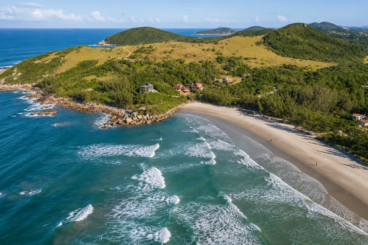
The Caranha is an easy, well-marked coastal walk. It starts at the southern end of Praia da Barra, where there are signs, and follows about 1.7 km to Praia do Ouvidor along green coastal slopes by the sea, with shaded sections and a small grove near the end. The route is part of the Caminhos da Baleia Franca, a trail network marked with painted footprints on rocks, trees and posts. Along the headland there are natural viewpoints facing the bay, used from July to November to spot southern right whales. Ouvidor is Garopaba’s last beach: about 650 meters of sand between hills, with gentler waves popular with beginners learning to surf, and fishing sheds on the sand. At the northern end, a shallow river forms a swimming area for children; there are also lithic workshops there. At the southern end, a freshwater spring marks the start of the trail that continues to Praia Vermelha, already in Imbituba, and from there to Praia do Rosa. About ten minutes along that path is Praia do Nego, a small beach where high tide forms pools among the rocks. Return is by the same trail or by car: Ouvidor is accessible by road, with the final section unpaved.

Stops: Praia da Barra, Trilha da Caranha, Praia do Ouvidor, Praia do Nego.

Includes: There is no fee to do the trail or to enter the beaches.

Tip: A Barra and Praia do Nego have no kiosks or lifeguards: bring water and sunscreen. If you plan to continue to Praia Vermelha and Rosa, start early and arrange your return transport.

Best time: All year, on days without rain. Whale season: July to November.

Siriú: beach, dunes, sandboarding and Mirante do Amor

From Garopaba town center car, taxi or municipal bus half day afternoon, until sunset easy, with ascent on soft sand

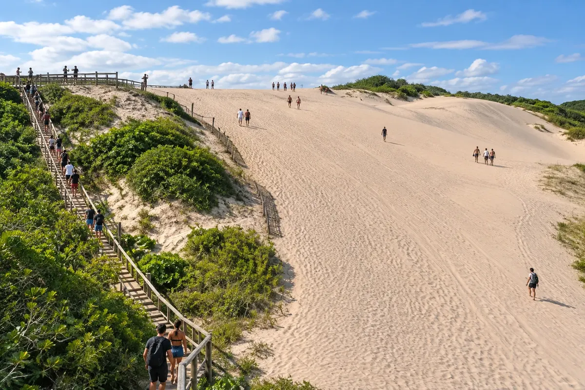
Siriú is the northern side of Garopaba, with a different feel from the rest of the municipality. The beach is about 4 km long. At the northern corner, 9 km from the town center, is the village, with pousadas and restaurants; from there south the sand continues almost without buildings, accompanied by a field of dunes that extends for several kilometers. The dunes are the reason to visit. The highest and easiest-to-reach points are by the road, about 4 km from the center. From the top you can see Praia do Siriú to the east. The slopes are used for sandboarding, sliding on a board down the sand. In summer, after the rains, small clear-water lagoons form among the dunes, which earned the place the nickname Lençóis Catarinenses. On the same side of the municipality, Mirante do Amor, with easy access, has parking and benches and brings together in one view Lagoa do Macacu, the dunes and the beach. It’s a sunset spot. If you want a freshwater swim, walk to Cachoeira do Siriú, near the village, reached by a short hike. From July to November, the dune tops and the beach are whale-watching points for southern right whales.

Stops: Dunas do Siriú, Praia do Siriú, Mirante do Amor, Lagoa do Macacu, Cachoeira do Siriú.

Includes: Access to the dunes, the beach and the lookout is free. Sandboard rental, when available, is paid separately. Check local conditions for access to the waterfall.

Tip: Climb the dunes late in the afternoon, when the sand has cooled, and bring water. Walk on bare sand, avoiding stepping on the vegetation that holds the dunes. After heavy rain, check first how the waterfall path is.

Best time: All year round on low-wind days; in summer, after rains, lagoons appear between the dunes.


See 3 more tours

Gamboa: fishing village and whale lookout

From Garopaba town center car half day morning or afternoon easy, with a short trail

Gamboa is the northernmost and most remote beach: it is 15 km from town by a road that crosses valleys, dunes, and a stretch of hills. At its end there is a small, slow-paced fishing village, with about 1.5 km of beach between green hills. The sea is mildly rough and has swells from the east and south, which attracts surfers year-round. At the northern tip, Ponta do Faísca, a dark rock formation, marks the border with the municipality of Paulo Lopes. At the southern corner, where the Caximba river flows, locals built a lookout reached by a short, easy trail. It has two uses during the year. From May to July it serves the mullet fishing watchers, who alert the boats when a school approaches. From July to November it becomes a whale-watching point: Gamboa is Garopaba’s beach with the most records of these whales. Despite its size, the village has restaurants known in the region.

Stops: Gamboa Beach, Whale Lookout, Ponta do Faísca.

Includes: Access to the beach and to the lookout is free.

Tip: Reserve lunch on weekends and holidays. In whale season bring binoculars and a warm layer: it can be windy at the lookout.

Best time: Whale season: July to November. Mullet fishing: May to July. In summer, go for a less crowded beach.

Pedra Branca Trail

From Locality of Encantada car to the trailhead; then on foot 2 to 3 hours, round trip morning moderate, with a steep climb

Pedra Branca is a light-colored rock set in the forest on top of a hill, visible from several points in town. It’s the outing for those who want to see Garopaba from above and swap sand for forest for a morning. The trail starts in the locality of Encantada, inland. It’s a little over 1 km each way, but it climbs steeply in some sections through the Atlantic Forest and passes a small waterfall. Allow 2 to 3 hours including the ascent, the stop on top and the descent. The summit is at 273 meters above sea level. From there you can see Lagoa de Garopaba, Ferrugem Beach and Barra Beach, with the open sea beyond. It’s a moderate-level hike that requires good breath on the climb and care on the descent.

Stops: Pedra Branca de Garopaba, Lagoa de Garopaba, Encantada.

Includes: There is no fee to do the trail. A local guide, if hired, is paid separately.

Tip: Start early, with good weather: after rain the ground becomes slippery. Bring water, insect repellent and sturdy-soled shoes. The trail app recommended by the tourism agency helps locate the trailhead.

Best time: Year-round, on dry, clear days, preferably in the morning.

Southern right whales seen from land in Garopaba

From Garopaba center or your accommodation by car, on your own; or a guided land tour 3 to 4 hours morning or afternoon easy

The southern right whale breeding season in Brazil runs from July to November, peaking in September; the period with the highest numbers is between the second half of August and the first half of October. Females seek shallow, sheltered coves to give birth and nurse their calves and often stay for days at the same beach, swimming near the surf. For this reason, in Garopaba, observation is done from land. The observation points change according to weekly reports. Gamboa, with the viewpoint built by local residents, is the beach with the most occurrences in the municipality. At Siriú the top of the dunes offers a wide view of the cove. Silveira and the rocky trails of Vigia and Caranha complete the circuit south of the center. On your own, the route is done by car, stopping at two or three points. Local projects and agencies offer guided outings along beaches, trails and viewpoints, with biologists and licensed guides who explain the animals’ behavior and know where they have been seen in recent days; appointments are required. Observation depends on the weather: rough seas and rain interfere, even when whales are nearby. Boat trips to see them depend on authorization from the federal agency that manages the protected area and currently have no defined status.

Stops: Whale Viewpoint at Gamboa, Siriú dunes, Silveira Beach, Caranha Trail, Ouvidor Beach.

Includes: Viewpoints and beaches have free access. Guided outings are paid separately and run from July to November, by appointment; check the current rates.

Tip: Choose a high vantage point on a calm-sea day and look for a V-shaped spout. Bring binoculars and a windbreaker. With two or three days in town your chances of having a good day increase.

Best time: Whale season: July to November, with more sightings from the second half of August to the first half of October.

Day by day

1, 2 and 3-day itinerary in Garopaba

Suggestions to plan the trip. Change the order of the days according to the weather and tour availability.

1 days · Garopaba in 1 day: Historic Center, Silveira and the Siriú dunes

For people coming from Florianópolis or Praia do Rosa for a day trip · Based in Garopaba
  1. Day 1 · From the center to the dunes

    Start at Praia de Garopaba and the Historic Center, on the right corner of the bay: Casa de Cultura, Praça 21 de Abril, Igreja São Joaquim, the old whaling house and the viewpoint beside it. If you have time left, go down to Praia da Preguiça or walk to the Vigia. Have lunch on the promenade and head to Silveira, 2.5 km from the center, to see the surf beach and walk on the sand. In the mid‑afternoon, go to the north side: the Siriú dunes are about 4 km from the center. Climb them when the sand is already cooler and finish the day at Mirante do Amor, with Lagoa do Macacu and the dunes ahead. Ferrugem and the Caranha trail are left for a second visit.

2 days · Garopaba in 2 days: center, headland and southern beaches
For weekend and first visit · Based in Garopaba Center or Ferrugem
  1. Day 1 · Historic Center, Trilha da Vigia and Silveira

    Spend the first hour in the Historic Center: Casa de Cultura, church, old house and viewpoint. From there walk to Praia da Vigia and enter the trail along the headland. It’s 3.6 km to Silveira, about 3h30 with stops, passing the Ponta do Casqueiro sambaqui and the natural pools. Those who prefer something shorter go only to the pools and return. At Silveira, rest on the sand and return to the center by car or taxi. At night, the promenade of the main beach gathers the restaurants.

  2. Day 2 · Ferrugem, Barra and Ouvidor

    Go in the morning to Ferrugem, 7 km from the center. With children, stay in the corner with the natural pools; surfers and those who want more activity go to the other side. Climb the Morro do Índio viewpoint to see both beaches and the lagoon. After lunch, cross to Barra and take the Caranha Trail, about 1.7 km, to Ouvidor. Stay on the beach until late afternoon and return the same way on the trail or by car. From July to November, stop at the headland viewpoints to look for southern right whales.

3 days · Garopaba in 3 days: center, south and the north side
For for those who want to see the ten beaches at a relaxed pace · Based in Garopaba center, Silveira or Ferrugem
  1. Day 1 · Historic Center and Trilha da Vigia

    Morning in the Historic Center and the main beach, visiting Casa de Cultura and climbing to the church and viewpoint. Then, Trilha da Vigia to the Casqueiro natural pools or, if you have energy, to Silveira, 3.6 km away. In the afternoon, beach at Silveira or at the main beach, where the sea is calmer. Dinner on the promenade.

  2. Day 2 · Pedra Branca, Ferrugem and Ouvidor

    Leave early for the Pedra Branca Trail, starting from Encantada: 2 to 3 hours including ascent, views and descent. From the top, at 273 meters, you can see the lagoon, Ferrugem and Barra, where the day continues. Have lunch in Ferrugem, stop by Morro do Índio and, in mid-afternoon, do the Caranha Trail from Barra to Ouvidor. If the morning weather is not stable, swap Pedra Branca for more beach time.

  3. Day 3 · Siriú and Gamboa

    A day on the north side. First go to Gamboa, 15 km from the center: walk to the viewpoint at the beach’s southern corner and have lunch in the village. From July to November, it is the municipality’s spot with the most southern right whale sightings; from May to July, the season for the mullet watchers’ post. On the way back, stop at Siriú. Those wanting freshwater can visit the waterfall near the village; afterwards, climb the dunes in the late afternoon, with or without a sandboard, and watch the sunset from Mirante do Amor. With a fourth day, Praia do Rosa in Imbituba is about 15 km away.

Best time to go

When to go: Garopaba month by month

The seasons shown are the most usual ones; nature doesn't always follow the calendar.

January High rain

Summer and high season · Rainiest month

Averages between 23 °C and 25 °C and about 180 mm of rain, the highest volume of the year, usually in heavy showers. The sea is at its most pleasant temperature and the town is busy. Book lodging in advance and go early to the most popular beaches. After the rains, lagoons form among the dunes of Siriú.

February High rain

Summer · Carnival

Averages between 23 °C and 26 °C, the warmest of the year, with about 155 mm of rain. High season continues, with a new peak at Carnival, which falls in February. It’s a month for the beach all day; leave the coastal trails for early morning and the dunes for late afternoon because the sand gets very hot.

March High rain

End of summer · Less crowded beaches

Still warm, with averages between 23 °C and 25 °C and about 145 mm of rain. After Carnival the crowds thin, and the sea remains good for swimming. It’s a balanced month for those who want the beach without lines and trails with fewer people. Have a covered plan for rainy days, such as the Casa de Cultura and the Historic Center.

April Low rain

Mild autumn · One of the driest months

Averages between 21 °C and 23 °C and about 105 mm of rain, one of the year’s lowest volumes. Stable weather favors the Trilha da Vigia, Caranha and the ascent to Pedra Branca. You can still swim on sunny days. Outside the Holy Week holiday, the town is quiet.

May Some rain

Start of the mullet fishing season

Averages between 18 °C and 21 °C and about 140 mm of rain. The mullet season begins and runs until July: on the central beach, at Silveira and Gamboa, the canoes are ready on the sand and the lookouts watch the sea waiting for the schools. The sea cools. Bring warm clothing for the night.

June Some rain

Mullet fishing · Garopaba fair

Averages between 16 °C and 19 °C and about 120 mm of rain. Mullet fishing continues, and the Garopaba fair, a community festival with typical food and mullet lunch, has been held around the Corpus Christi holiday; check the date for the year. The first southern right whales may appear, but the season starts in July.

July Low rain

Whale season: July to November · Coldest month

Averages between 15 °C and 18 °C, the lowest of the year, and about 100 mm of rain. The southern right whale season begins, visible from the Gamboa lookout, the Siriú dunes and the headlands. It’s also the last month of the mullet season and a time of big waves at Silveira. Bring a windbreaker for the lookouts.

August Low rain

Whale season: July to November · Dry days

Averages between 15 °C and 18 °C and about 100 mm of rain. From the second half of the month the number of southern right whales in the coves increases, with females and calves near the breakers. There is little activity, and clear-sky days are good for long walks along the headland. Nights are cold.

September High rain

Peak of the whale season · Return of the rain

Averages between 17 °C and 19 °C and about 150 mm of rain. This is the month with the most southern right whale sightings and the most guided outings to observe them. Rain becomes frequent again: plan spare days in your itinerary, because with rough seas visibility drops.

October High rain

Whale season: July to November · Spring

Averages between 18 °C and 21 °C and about 150 mm of rain. Southern right whales remain along the coast, with more sightings in the first half of the season. Temperatures rise gradually and the sea is still cold. The town’s calendar includes a gastronomic circuit between October and November; check the year’s schedule.

November Some rain

End of the whale season · Surf festival

Averages between 20 °C and 22 °C and about 130 mm of rain. The southern right whale season ends, with fewer animals than in September. Days are long and the sea allows swimming on sunny days. The city’s calendar includes a surf festival with environmental activities at the end of the month; check the date for the year. Activity is still moderate.

December Some rain

Start of summer · City anniversary and New Year’s Eve

Averages between 22 °C and 24 °C and about 125 mm of rain, in downpours. The sea warms and crowds grow each week. The city celebrates its anniversary on the 19th and holds the New Year’s Eve party at the turn of the year. Between Christmas and New Year, Garopaba receives its largest audience of the year: book in advance.

Plan the journey

How to get there: Garopaba

By plane: via Florianópolis airport

Garopaba has no airport. The closest is Florianópolis – Hercílio Luz International Airport (FLN), which handles daily domestic flights and connections with South American cities.

From the airport, the trip to Garopaba takes about 1h30 on average and can be done by rental car, transfer or intercity bus. For scheduled buses, you must first go to Florianópolis’s bus station in the city center.

The airport has car rental agencies. If you plan to visit several beaches, renting a car on arrival also solves local transfers. If your flight arrives at night, book your transfer or rental car in advance.

By bus: from Florianópolis and southern cities

There are daily buses between Florianópolis’s bus station and Garopaba, with several departures throughout the day. The trip usually takes about 2 hours, and can be longer depending on time and stops.

Garopaba also has regular lines from Tubarão and Laguna to the south, and connections with interstate companies. The bus terminal is near the center, making it easy to reach central pousadas on foot or by taxi.

For more distant beaches like Ferrugem, Siriú and Gamboa, the final leg is made by municipal bus, taxi or rideshare. On holidays and summer weekends, buy tickets in advance, including the return.

By car: BR-101 and SC-434

Access is via BR-101, which runs along Santa Catarina’s coast, for travelers coming from north or south. At the Garopaba junction, take SC-434, which leads to the center and main beaches in about 15 km.

From Florianópolis it’s about 70 km, a 1–1.5 hour drive depending on traffic. From the south, Garopaba is about 60 km from Laguna and 210 km from Torres, on the Rio Grande do Sul border.

SC-434 leads to the center and continues to southern beaches like Barra; Siriú and Gamboa are northward on municipal roads. Some accesses end on dirt, such as the last meters of Silveira and the final stretch to Ouvidor.

By transfer

Local receptive-tour companies run transfers between Florianópolis airport and Garopaba accommodations, either shared or private.

Shared services usually require a minimum number of passengers and may involve a wait after disembarkation; private transfers depart at the scheduled time. It’s common to have baggage limits per person and to require advance booking.

Give your flight number and the exact beach of your lodging: Garopaba is spread out, and distances vary a lot between the center, Ferrugem and Gamboa. Check what’s included and each company’s current rates.

How to get around Garopaba

The center is walkable: the main beach, Historic Center, Preguiça and Vigia are only a few minutes from each other.

For the other beaches you need transport. Silveira is 2.5 km from the center, the Siriú dunes about 4 km, Ferrugem 7 km, the village of Siriú 9 km, Gamboa 15 km and Ouvidor just over 15 km. A car gives you the freedom to combine two or three beaches in the same day.

Without a car, municipal buses connect the neighborhoods to the central area; schedules are published by the city hall and vary by season. The municipality has a regulated taxi service that operates from Gamboa to Ouvidor.

The coastal trails end at another beach: arrange your return before setting out.

Get your questions answered

Frequently asked questions about Garopaba

What to see on a first visit to Garopaba?

Prioritize Praia de Garopaba and Praia da Ferrugem. With more time, include Praia do Silveira and Dunas do Siriú, spreading visits according to transfers.

How many days to reserve?

We suggest two to three days to do the activities with breaks. On a short visit, reduce the number of transfers.

Do you need a car?

A car makes it easier to combine different areas. If you prefer to travel without a car, confirm local transport and the return from the tours before leaving.

How to get there by plane?

One alternative is to use Aeroporto Internacional de Florianópolis - Hercílio Luz, in Florianópolis, and arrange the land leg to your accommodation. Check flights for your travel dates.

How to organize the itinerary when the weather changes?

Check the conditions and operation of each excursion. Reorder visits, allow time for rest, and avoid keeping an outdoor program when conditions are unsuitable.

What is the best time to go to Garopaba?

It depends on what you’re looking for. For beach time and swimming, December to March, with heat, afternoon showers and the town crowded between Christmas and Carnival. To see southern right whales, July to November, with more sightings from the second half of August to the first half of October. For surfing, winter brings the biggest waves. For trails and empty beaches, April is mild and one of the driest months. From May to July there is artisanal mullet fishing.

Where to stay in Garopaba: downtown, Silveira, Ferrugem or Siriú?

Downtown, at Praia de Garopaba, has calm sea, a boardwalk, restaurants, shops and the bus station nearby; it suits families and travelers without a car. Silveira, 2.5 km away, is quieter, with buildings set back from the sea and a surf focus. Ferrugem, 7 km away, has guesthouses, waves and a lively young crowd. The village of Siriú, 9 km away, and Gamboa, 15 km away, are for those seeking peace and who don’t mind driving.

Which Garopaba beach has calm water for children?

Praia de Garopaba, in downtown, has calm water and full infrastructure. Next to it, Preguiça and Vigia are small sheltered bays with still water. To the south, the channel that separates Ferrugem from Barra has shallow, calm water, and Ferrugem forms natural pools among the rocks behind Morro do Índio. At Ouvidor, a shallow river on the northern corner serves as a swimming pool. Silveira, Ferrugem and Gamboa have strong waves for much of the year.

Where to surf in Garopaba?

Silveira is the best known: at the south end waves break over rocky bottom and require experience; in the middle of the beach they break over sandbanks. Ferrugem has strong waves and is a meeting point for surfers. Gamboa works with east and south swell. For beginners, Ouvidor has gentler waves. Conditions change with the swell and wind of each day.

Where to see southern right whales in Garopaba?

From July to November, southern right whales usually stay in the bays with their calves and can be seen from land. Gamboa, which has a lookout built by locals, is the town’s beach with the most records. The top of the dunes and Praia do Siriú, Silveira and the headlands on the Vigia and Caranha trails are also used. There are guided land outings by appointment. Calm sea days and clear skies are the most favorable.

Can you visit Garopaba without a car?

Yes, with more planning. The bus from Florianópolis arrives at the terminal near downtown, and the central beach, the Historic Center, Preguiça and Vigia are within walking distance; the Vigia Trail leads to Silveira on foot. For Ferrugem, Siriú and other beaches there are municipal buses, with schedules that vary by season, and taxis. Check return times before you leave, especially outside summer.

Garopaba or Praia do Rosa: what’s the difference?

They’re neighbors, but Praia do Rosa belongs to Imbituba and is about 15 km from Garopaba’s center. Garopaba is a town, with a seaside downtown, a Historic Center, year‑round commerce and ten beaches spread out. Rosa is a village atop a hill, around a single bay, with dirt roads and guesthouses. Many people stay in one and visit the other; a headland trail connects Ouvidor, Garopaba’s last beach, to Praia Vermelha and Rosa.

What is sandboarding like on the dunes of Siriú?

Sandboarding is descending dunes on a board, standing or sitting. In Siriú, the highest and easiest slopes to reach are next to the road, about 4 km from downtown. It doesn’t require experience: just climb on foot and choose a clean sand run. Late afternoon is the most comfortable time, because the sand heats up a lot at midday. Ask locally about board rental and the current price list.

What to do in Garopaba when it rains?

The Historic Center concentrates the covered options. Casa de Cultura has temporary exhibitions, a library, panels and whale bones about the town’s history and the tourist information center. Igreja São Joaquim and the old whaling station mansion, with a craft shop, are next door. The restaurants and cafés on the boardwalk fill the rest of the day. The headland trails and Pedra Branca should wait for better weather.

What is mullet fishing and when does it happen in Garopaba?

It’s artisanal fishing carried out with canoes and nets, in collective work, a tradition linked to the city’s Azorean heritage. The season runs from May to July. During that period, lookouts stay at high points, like the Gamboa viewpoint, and warn the fishers when the school approaches. You can watch from the sand at the main beach, at Silveira, Gamboa and Ouvidor, where the fishing sheds are. The arrival of the school depends on sea conditions.

Traveler, share your experiences through photos Up to 5 photos of each place you visited.

Brazilian routes

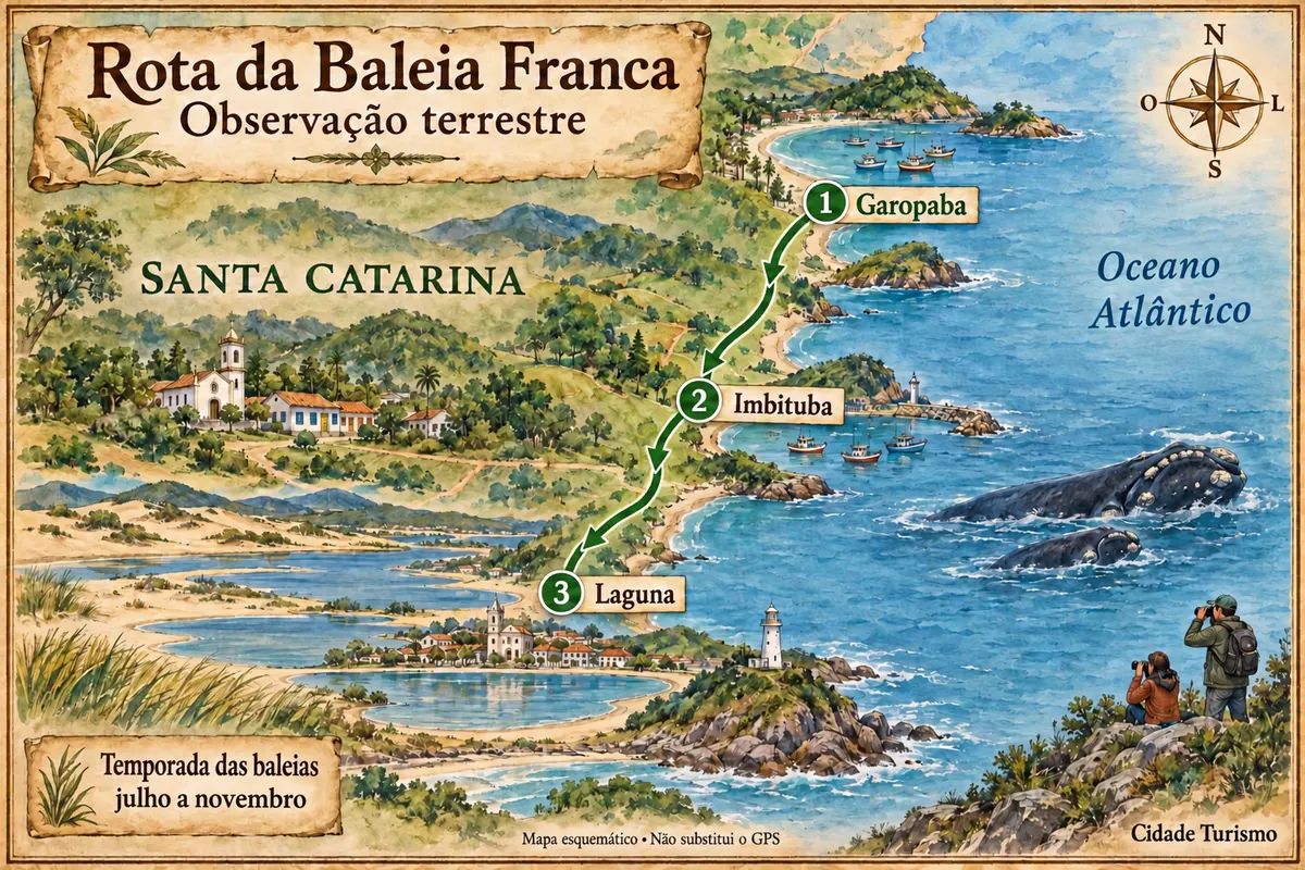
Garopaba is part of the Southern Right Whale Route

Garopaba, Imbituba and Laguna on a coastal trip, with land-based whale watching during the season.

Illustrative map, not to scale. Tap a city to open its page.
Illustrated map of Southern Right Whale Route
Explore the Southern Right Whale Route
See the state of Saint Catherine Find another city

Beyond the guide