Capital

State · South
Santa Catarina has sea and frost close to each other: the coast calls for summer, the highlands call for winter, and between them lie valleys of German colonization.
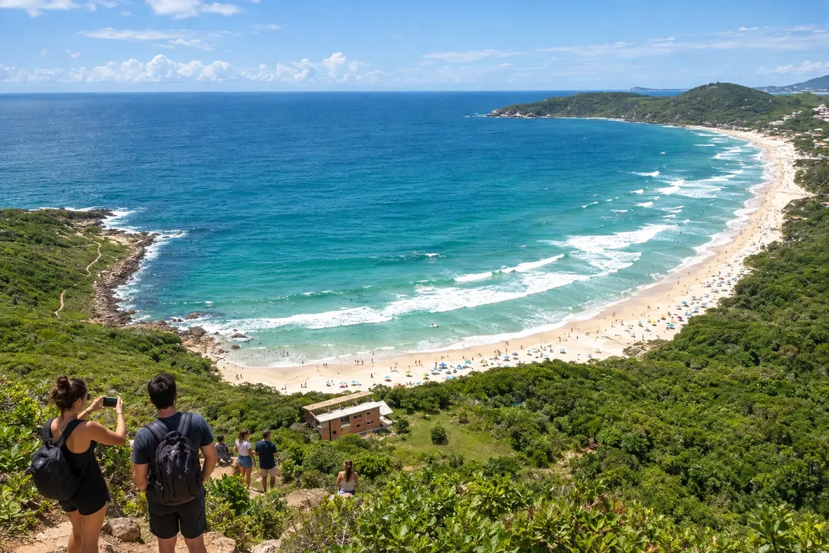
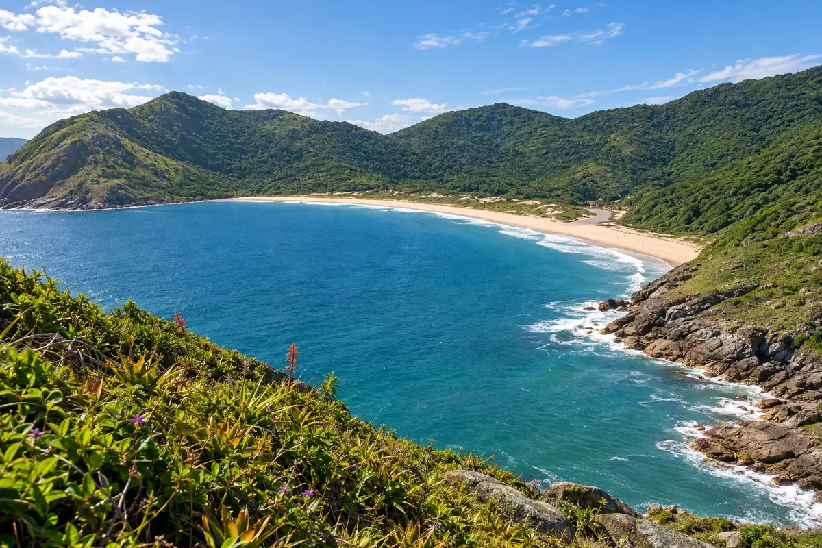
In the photo: Praia da Lagoinha do Leste, Florianópolis (SC)
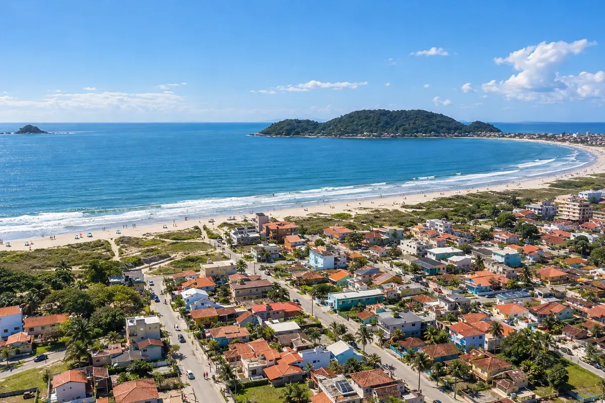
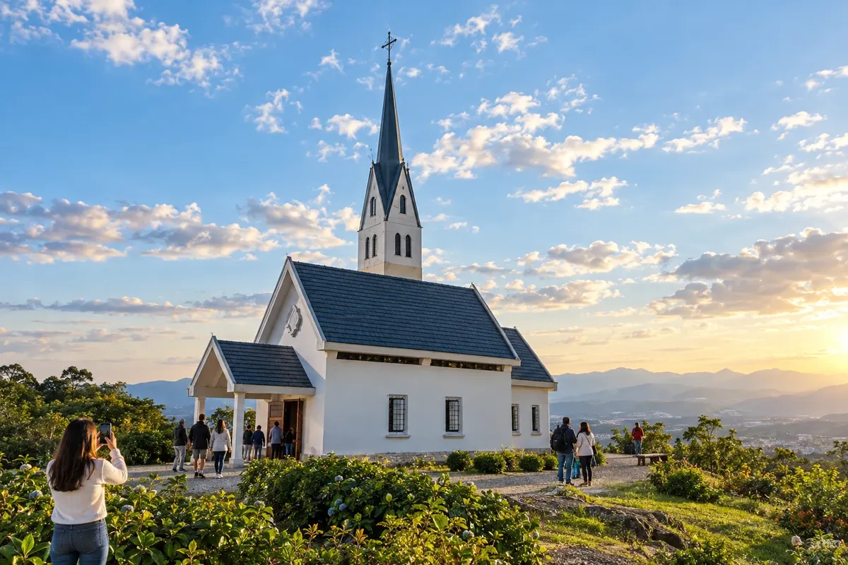
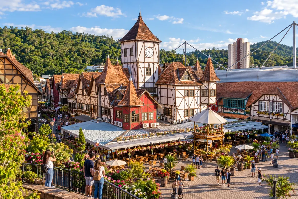
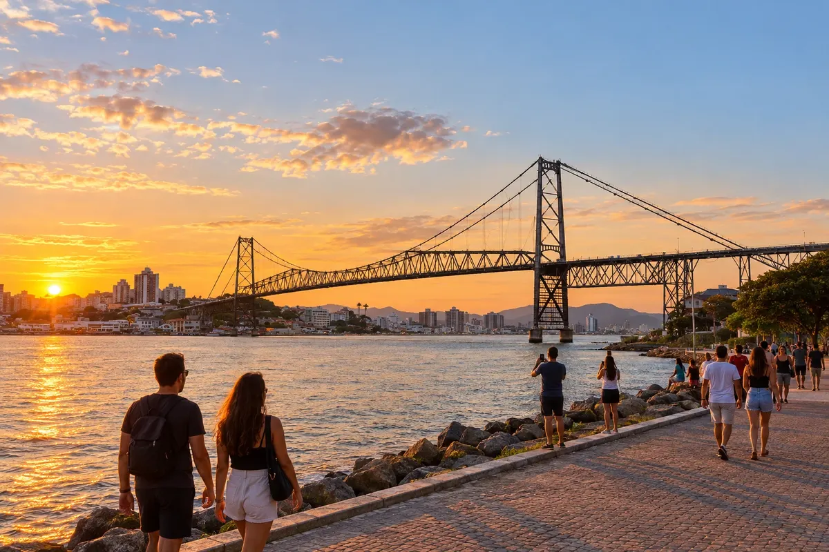
Illustrative images. The pictures in this guide are illustrations based on the real place, not photographs, and may differ from it.

The state
Florianópolis lies almost entirely on the Ilha de Santa Catarina, connected to the mainland by bridges, among them the Hercílio Luz, a city landmark. 18th-century Azorean settlement left houses and churches in Santo Antônio de Lisboa and Ribeirão da Ilha. In the bays of those neighborhoods are the sea farms that produce most of the oysters cultivated in the country. Around the Lagoa da Conceição and on the east and south beaches, the island alternates dunes, trails and surfing.
Heading up the coast, the Costa Verde e Mar brings together the state's most urbanized shore. Balneário Camboriú has a waterfront of tall buildings and calmer beaches to the south. Itajaí and Navegantes rely on the port and fishing. In Penha is the theme park Beto Carrero World. Bombinhas and Porto Belo occupy a peninsula of coves and cliffs, with clear water popular for diving.
The Vale Europeu shows another heritage. Blumenau was founded by German immigrants in 1850 and has the Vila Germânica as the stage for Oktoberfest. Pomerode, a few kilometers away, preserves about fifty half-timbered buildings in Testo Alto, along the Rota do Enxaimel.
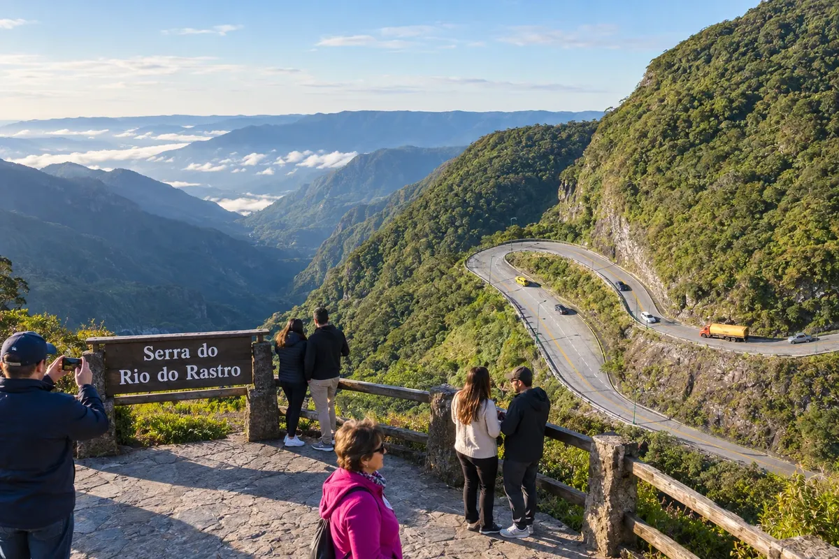
On the plateau, the Serra Catarinense has fields, araucarias and the state's lowest temperatures. São Joaquim leads national apple production and has high-altitude wineries. Urubici provides access to the Morro da Igreja, inside the Parque Nacional de São Joaquim, and to the gorge of the Serra do Corvo Branco. Lages, the region's largest city, celebrates the Festa Nacional do Pinhão. Bom Jardim da Serra sits atop the Serra do Rio do Rastro, whose road climbs from Lauro Müller in 284 curves.
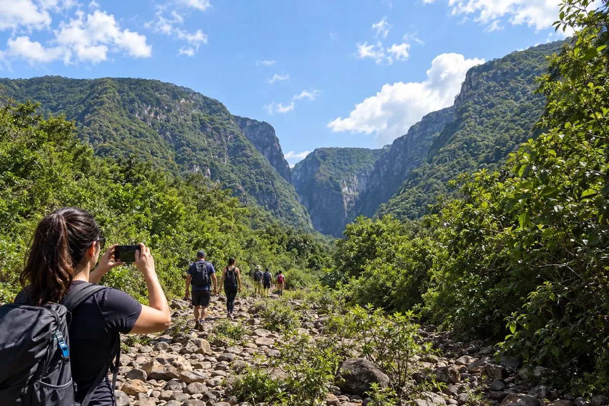
In the south, the Encantos do Sul link the base of that ridge to Imbituba, where Praia do Rosa and neighboring coves receive the southern right whale in winter. Closer to the Rio Grande do Sul border, Praia Grande is the gateway to the Caminho dos Cânions: from there depart the trails along the floors of Itaimbezinho and Malacara.
Destinations
Cities
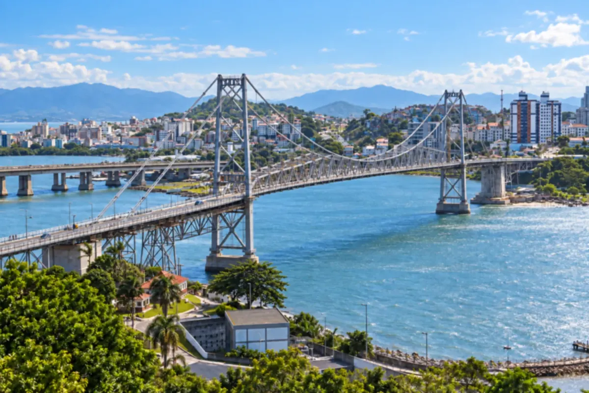
Florianópolis combines historic neighborhoods, beaches and hills on Santa Catarina Island and the mainland. You can alternate cultural outings with trails, lagoons and walks by the sea.
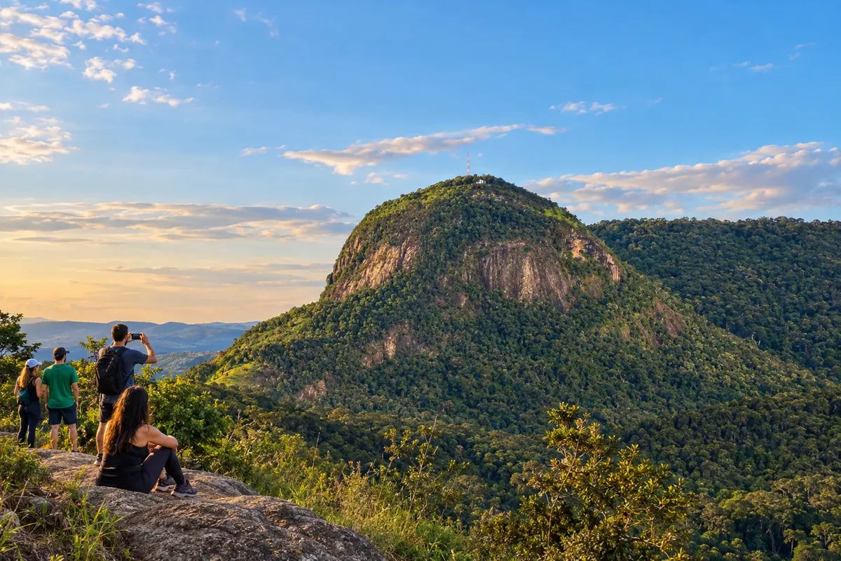
Apiúna brings together the Maria Fumaça train ride in the locality of Subida and the chapel atop Morro Dom Bosco. Morro do Bicudo and Cachoeira das Andorinhas add trails and Atlantic Forest scenery, while the Rio Itajaí-Açu hosts adventure activities. The town belongs to the Circuito Vale Europeu de Cicloturismo via an optional branch with dirt sections; the detour is not part of the main circuit route.
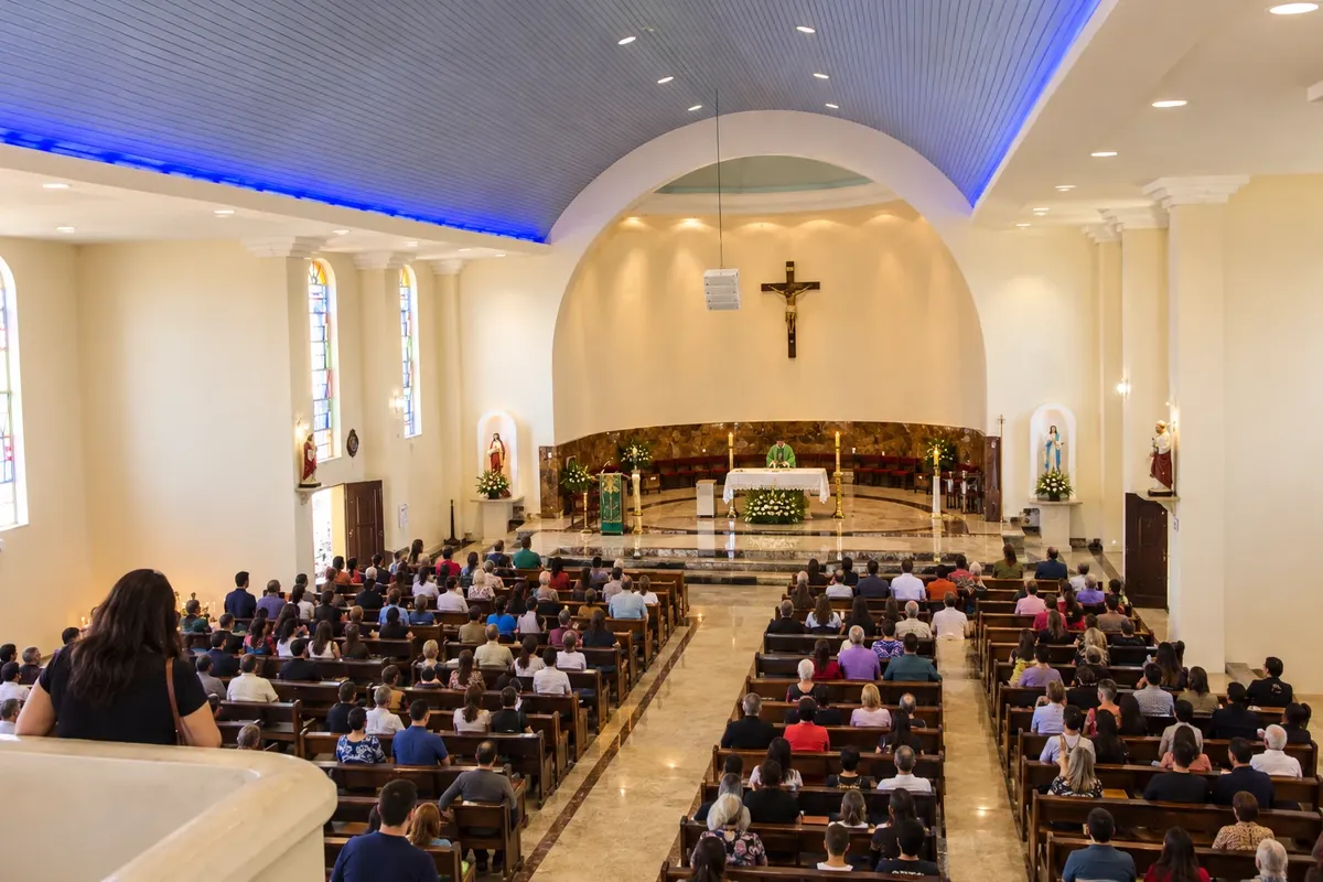
Araquari brings together devotion to the Senhor Bom Jesus, at the sanctuary with the Sala dos Milagres, and the landscapes of the Rio Parati. The Parque Municipal Refúgio dos Pássaros adds a natural reference to the city. In the Caminho dos Príncipes, the municipality is part of the link between the BR-101 corridor and coastal accesses, with local visits that can be scheduled before continuing by car.
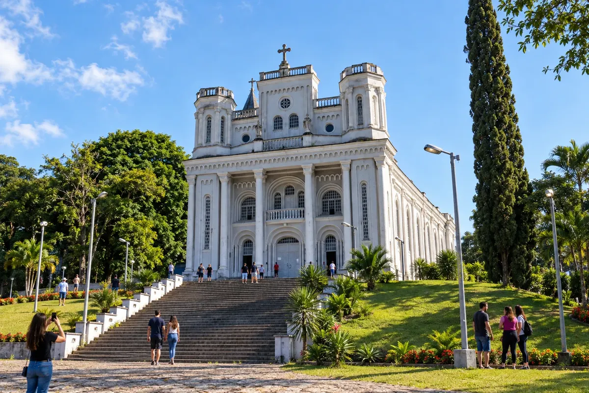
Ascurra preserves references to Italian immigration in the Igreja Matriz Santo Ambrósio and the Colégio Salesiano São Paulo. Between urban areas and rural paths, the municipality is part of the Circuito Vale Europeu de Cicloturismo. On this bicycle route, the stop also indicates the choice of the optional spur, which should be planned separately from the continuation of the main circuit.
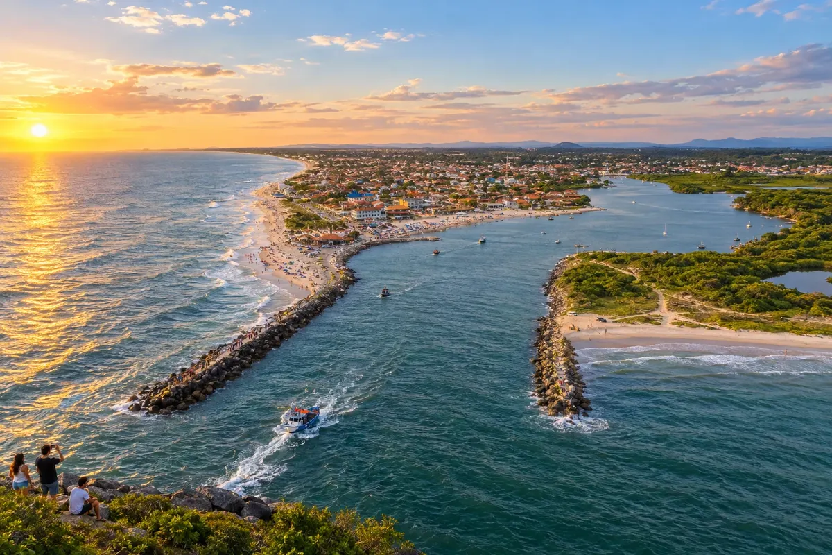
Balneário Barra do Sul has artisanal fishing linked to the Canal do Linguado and the Boca da Barra, where the lagoon landscape meets the sea. Praia do Bispo and Praia de Salinas show other stretches of its shoreline. The Festa da Tainha celebrates the fishing activity with local cuisine and performances, while the everyday work of the boats helps to understand the municipality's identity.
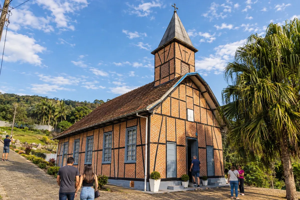
Benedito Novo brings together the Igreja Evangélica de Ribeirão Liberdade, built in a half-timbered (enxaimel) style, and the Cachoeira do Zinco, which requires authorized access to the property. The bicycle circuit crosses rural areas of the municipality during the ascent and on the return from the Região dos Lagos. Dirt roads and changes in elevation are part of this ride; passing through the territory does not automatically include visits to the attractions.
Biguaçu combines rural areas and historic heritage near the Baía Norte, in Greater Florianópolis. A stroll through São Miguel lets you see old buildings and take in the coastal scenery.
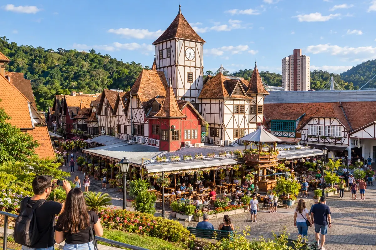
Blumenau combines heritage, museums and traditions linked to immigration in the Vale Europeu. Rua XV de Novembro lets you explore the city centre and its buildings, while Museu da Família Colonial presents aspects of life in the former colony. Vila Germânica brings together shops and gastronomy throughout the year.
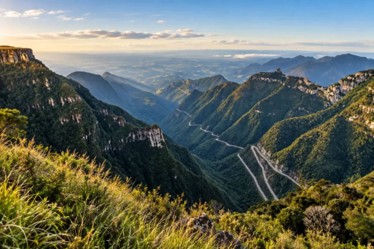
Bom Jardim da Serra sits at the top of the Serra do Rio do Rastro, among grasslands and cliffs. You can watch the curves of the road from the viewpoints and get to know the rural landscape of the Santa Catarina highlands.
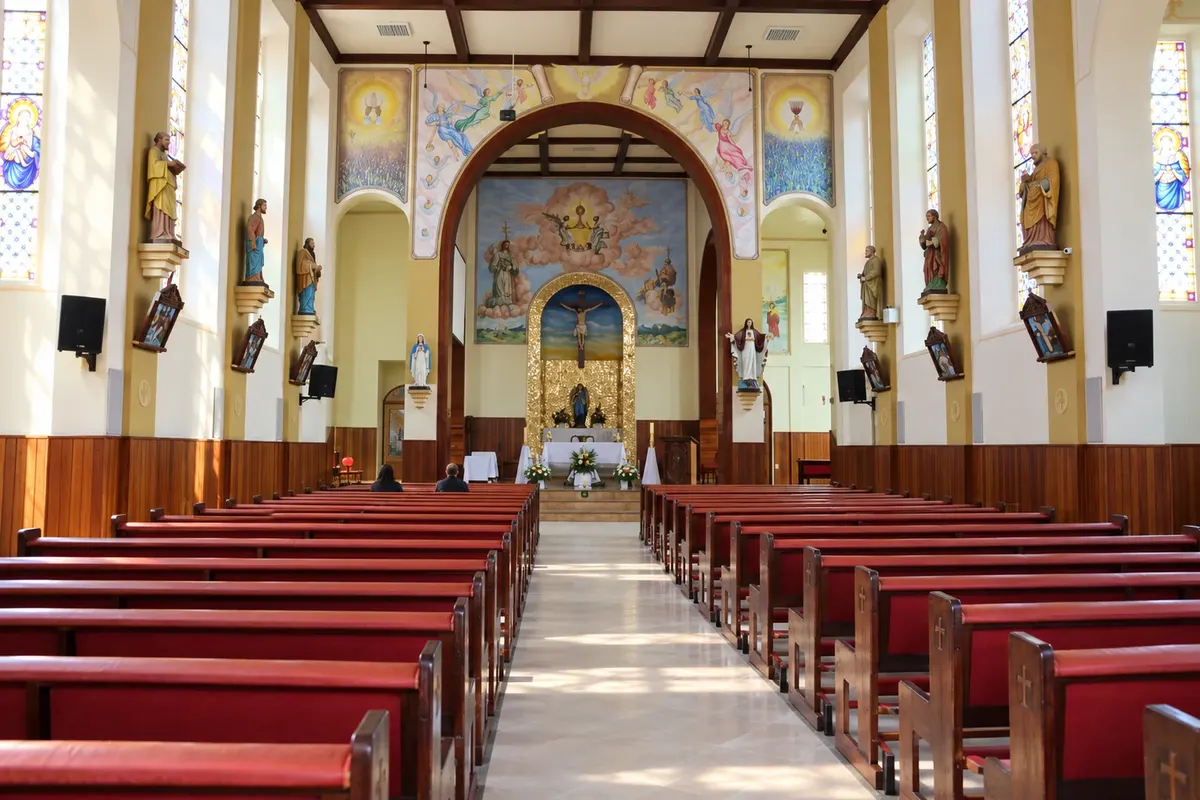
Bom Retiro brings together grasslands, araucaria pines and mountains on the Santa Catarina highland plateau. You can see the religious heritage downtown and explore country roads through valleys and woodland.
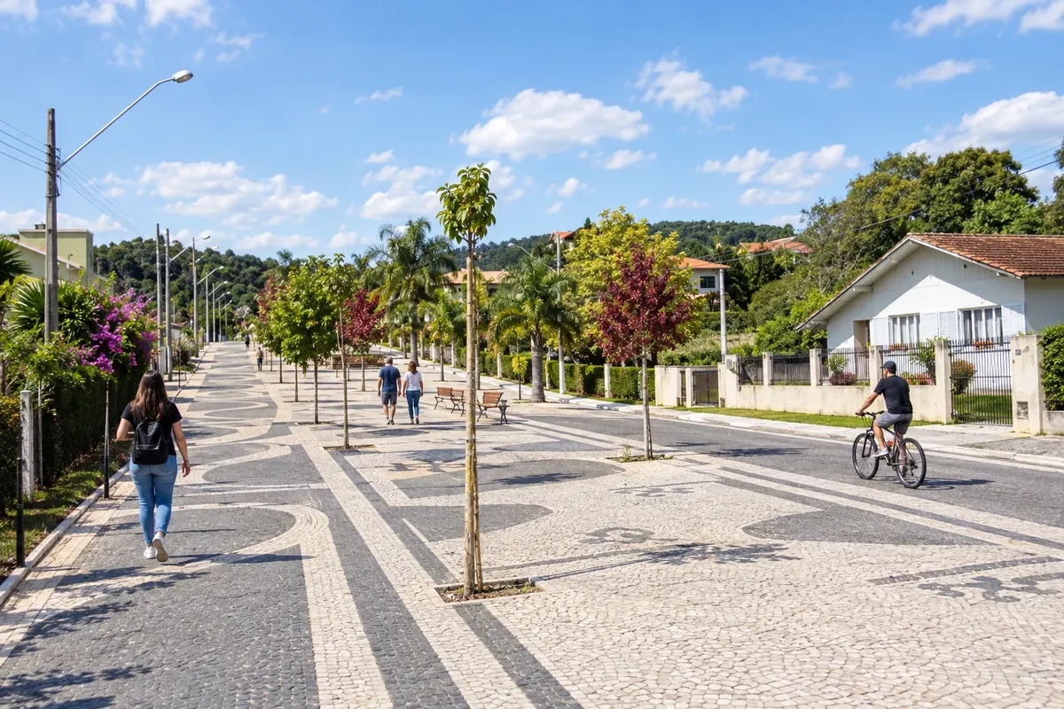
Campo Alegre brings together plateau landscapes, sheep farming and the memory of immigration. In the center, the Calçadão da Cascatinha follows a drop of the Ribeirão Farias, while the Cascata Paraíso features a taller rock face. In Bateias de Baixo, the Museu Sto Lat preserves objects of Polish culture; the Festa Estadual da Ovelha highlights local production.
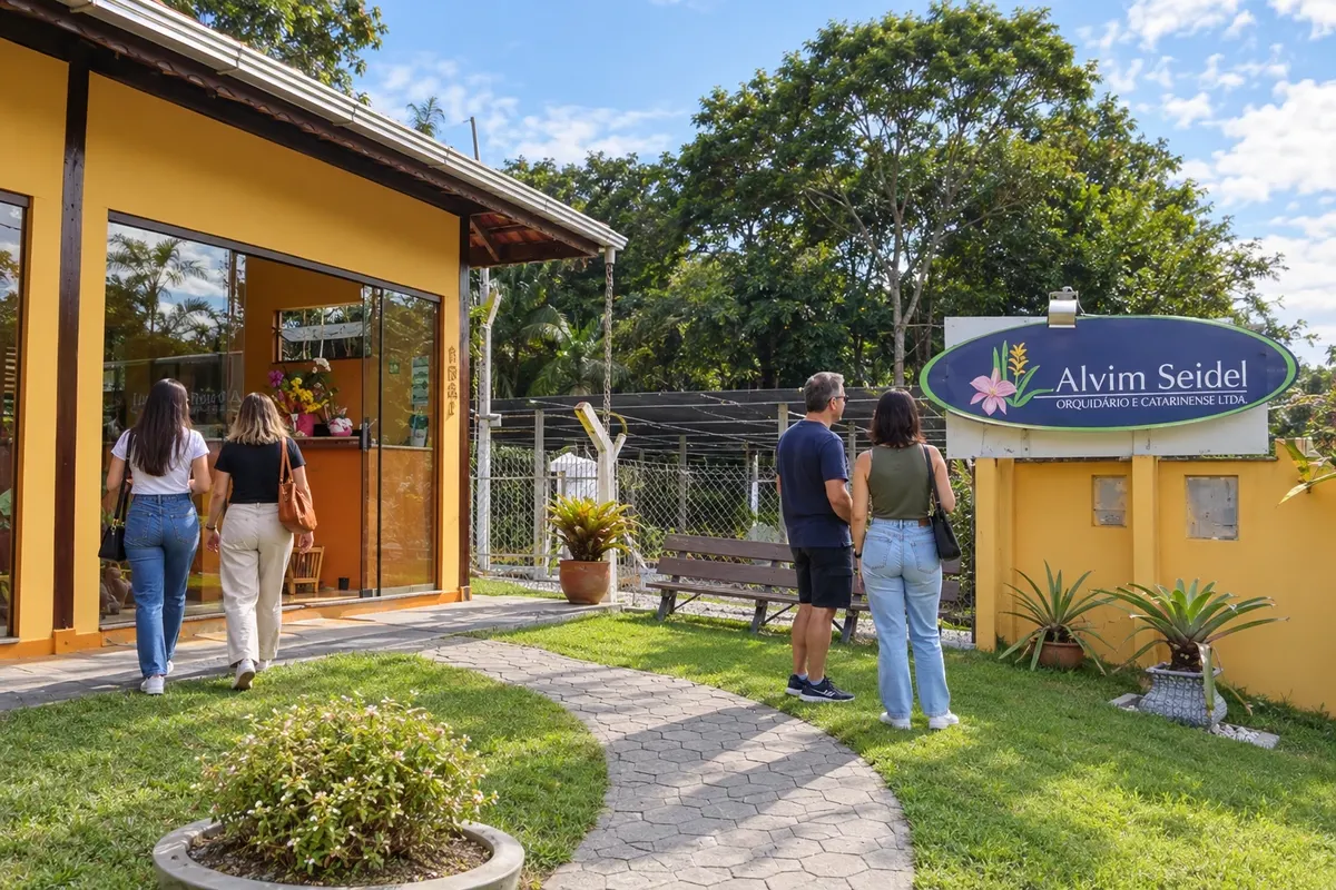
Corupá has banana production, ornamental plant cultivation and river landscapes in the Serra do Mar. The Orquidário Catarinense Alvim Seidel continues a family tradition started in 1906. The Gruta da Santa receives devotional manifestations, and the Igreja Matriz São José preserves the memory of the Catholic community. The Rota das Cachoeiras remains closed, with the trail visit not confirmed.
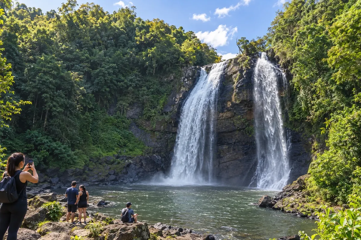
Doutor Pedrinho has Cachoeira Véu de Noiva as one of its natural landmarks and Salto Donner on the waters of the Rio Benedito. In Capivari, the Gruta Nossa Senhora de Fátima combines devotion and a waterfall, while Cachoeira do Paulista expands forest walks. The Circuito Vale Europeu de Cicloturismo crosses the town's upper area, with climbs and unpaved access that require preparation.
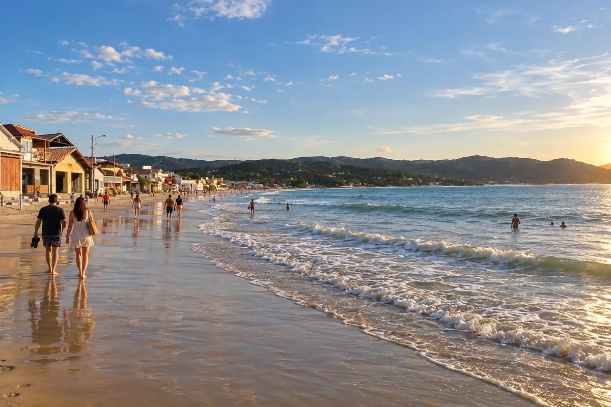
Garopaba brings together beaches, headlands and dunes on the Santa Catarina coast. Praia de Garopaba lets you combine the sand with walks through the urban core, while Ferrugem and Silveira are known for surfing. Dunas do Siriú complete the itinerary with a different landscape to enjoy while respecting the natural areas.
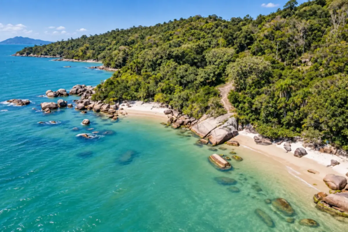
Governador Celso Ramos occupies a peninsula with coves, rocky headlands and fishing communities. You can explore small beaches and take in the seascape framed by the Atlantic Forest.
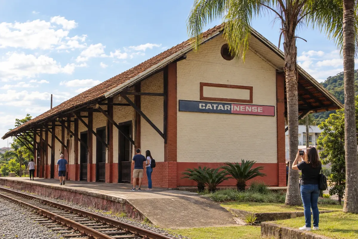
Guaramirim preserves the Estação Ferroviária de Bananal, inaugurated in 1910, as a reference to its urban formation. The Igreja Matriz Senhor Bom Jesus adds religious heritage, with paintings on the dome. The city is part of the Vale dos Encantos and participates in the Caminho dos Príncipes along the BR-280 corridor; the stop brings together these two central references before the circuit continues.
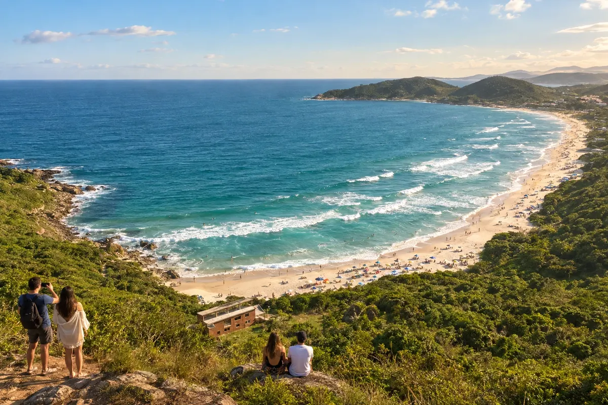
Imbituba brings together beaches with varied profiles on the southern Santa Catarina coast. Rosa mixes a cove and open coasts, Ibiraquera connects beach and lagoon, and Vila is linked to surfing. Itapirubá expands the route to the southern part of the municipality, offering a different setting for walks and relaxation.
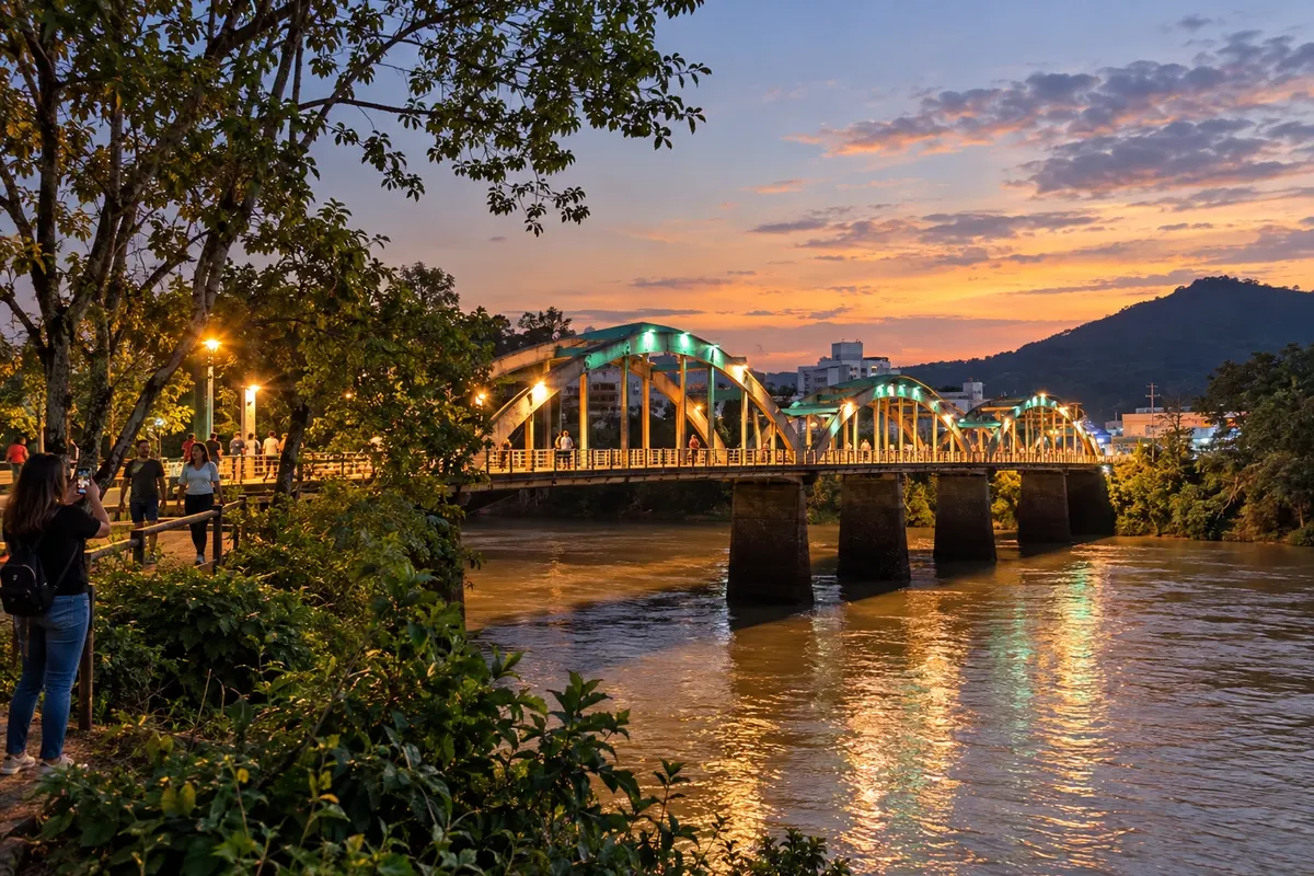
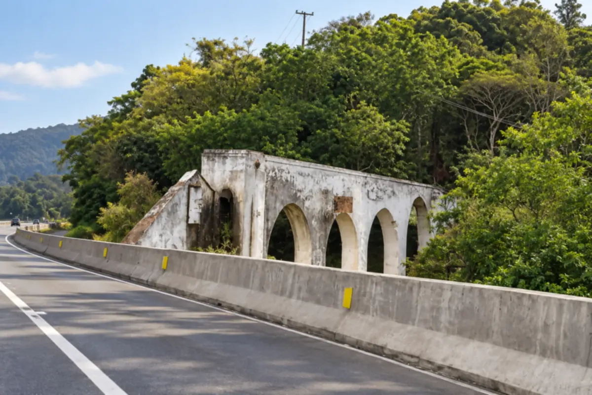
Indaial grew up along the Rio Itajaí-Açu and preserves the Ponte dos Arcos as a landmark of local engineering. The old station houses the Museu Municipal Ferroviário Silvestre Ernesto da Silva, and the Fundação Indaialense de Cultura occupies a historic house. Parque Municipal Jorge Hardt expands opportunities for outdoor walks. On the cycling stage, the route via Warnow crosses rural landscapes and immigration heritage.
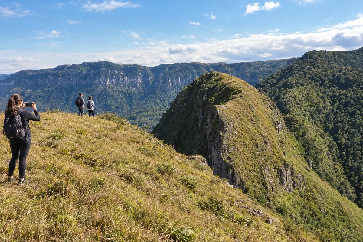
Jacinto Machado brings together the rural landscape of banana production and walks on the slopes of the Serra Geral. Morro do Carasal, in Engenho Velho, offers a hike to the top; the Museu Histórico Professora Elisabete Luiz presents the culture of work. The Trilha do Tigre Preto leads into the interior of Cânion Fortaleza, with a route along the river.
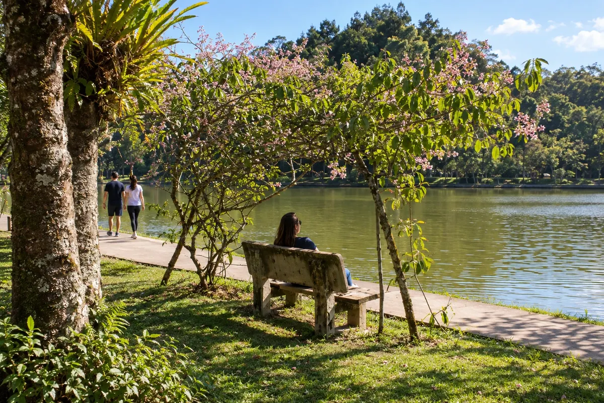
Jaraguá do Sul combines industry, cultural heritage and leisure spaces. O Museu WEG de Ciência e Tecnologia presents the history of electric motors, while Parque Malwee gathers lakes and tree-lined paths. Chiesetta Alpina is a memorial chapel atop a hill, and the Museu Histórico Emílio da Silva tells the story of the formation of the Jaraguaense community.
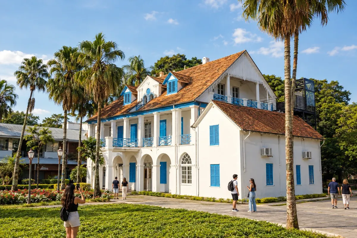
Joinville is an urban and industrial center with museums that showcase different periods of its history. The Museu Nacional de Imigração e Colonização preserves objects related to the colony’s formation, and the Museu Arqueológico de Sambaqui de Joinville studies the indigenous occupation of the coast. Art appears at the Museu de Arte de Joinville and in the former residence of the sculptor Fritz Alt.
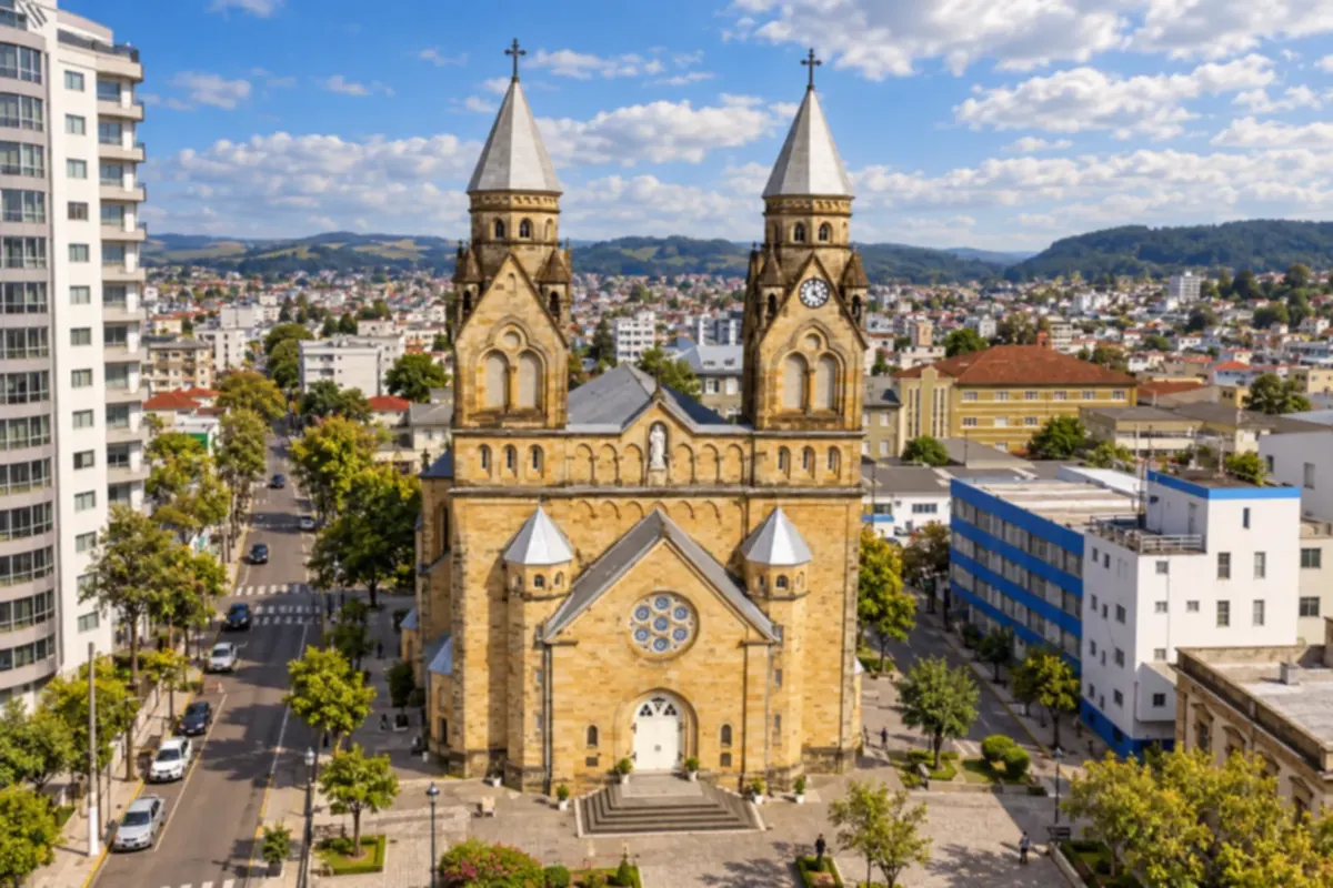
Lages has a history tied to the tropeiros (cattle drovers) and to rural life on the Santa Catarina plateau. You can stroll downtown, visit the cathedral and explore the surrounding landscape of grasslands and araucaria pines.
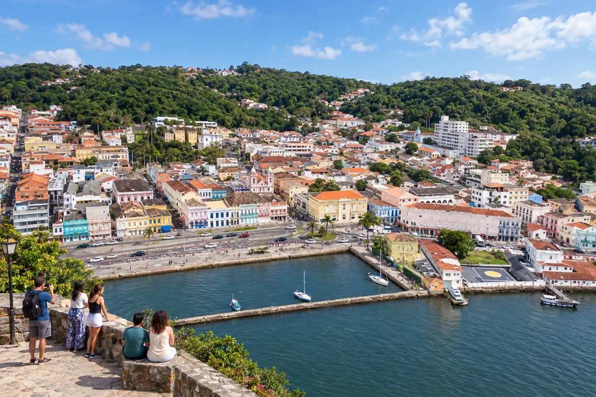
Laguna brings together the heritage-listed Centro Histórico and the Museu Histórico Anita Garibaldi, housed in the former town hall and jail building. On the coast, the Farol de Santa Marta shapes the cape's landscape, while cooperative fishing with dolphins preserves a local tradition. The city completes the Rota da Baleia Franca with heritage sites, beaches and land-based whale watching during the season.
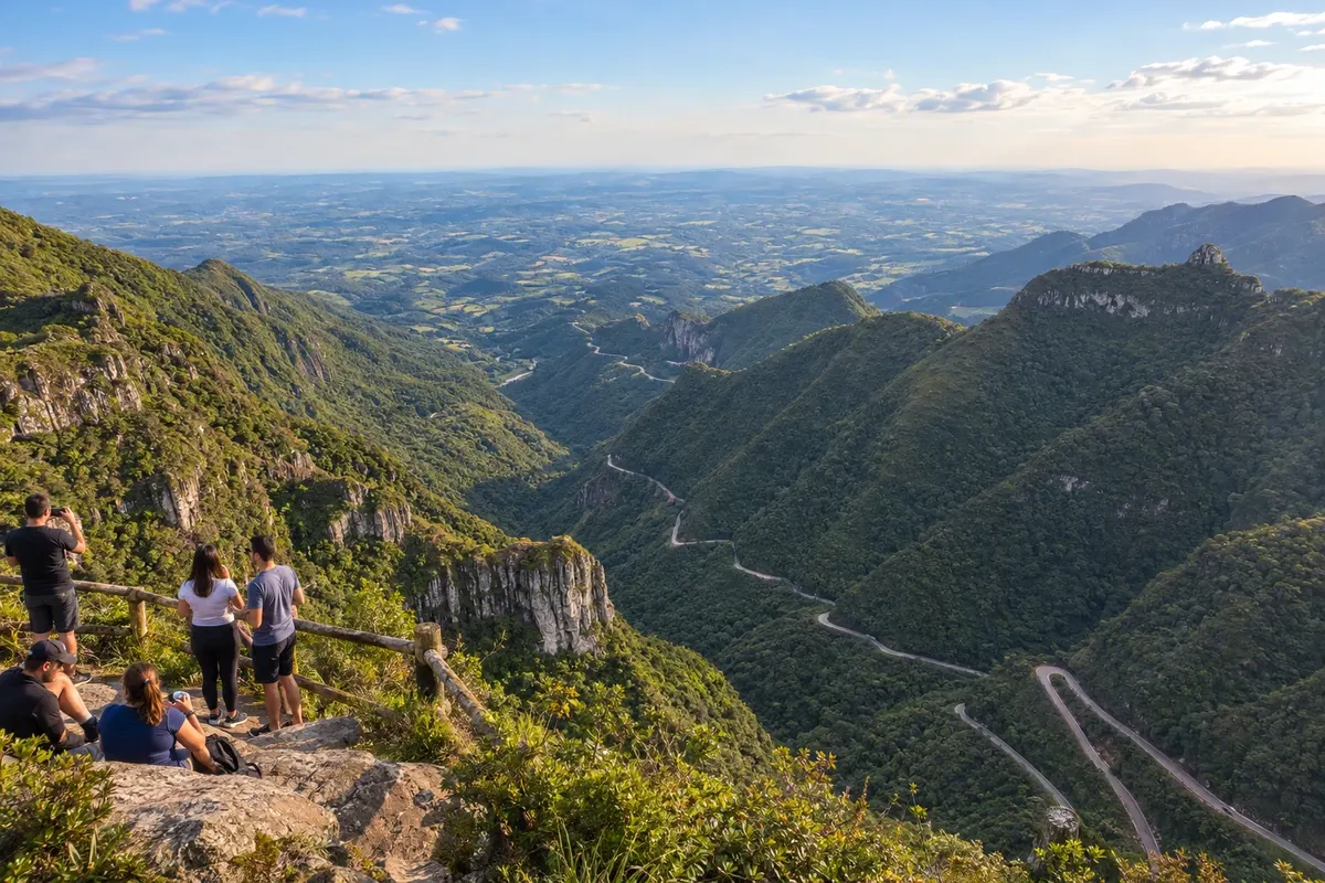
Lauro Müller has a history tied to coal and an old railway station associated with that economic activity. The Serra do Rio do Rastro, traversed by the SC-390, reveals cliffs and the Mata Atlântica landscape. The town lets you learn about the local history before organizing the mountain crossing, without limiting the stay to the lookout.
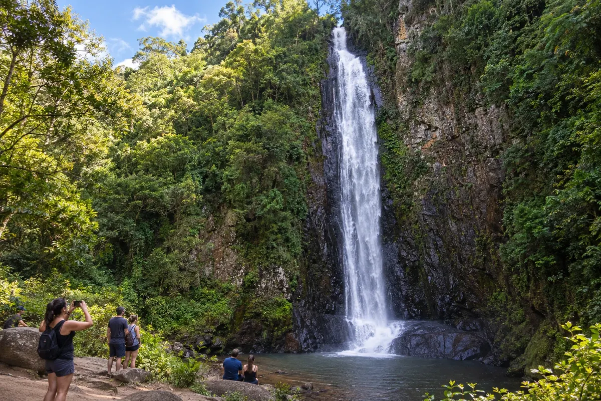
Morro Grande brings together paleotocas carved into the sandstone and waterfalls of the Serra Geral. In the community of Três Barras, the Cachoeira do Bizungo exposes the contact between sandstone and basalt; the paleotocas reveal tunnels made by megafauna. The Trilha do Realengo follows routes used by drovers to the upper part of the range, with a hike that requires preparation.
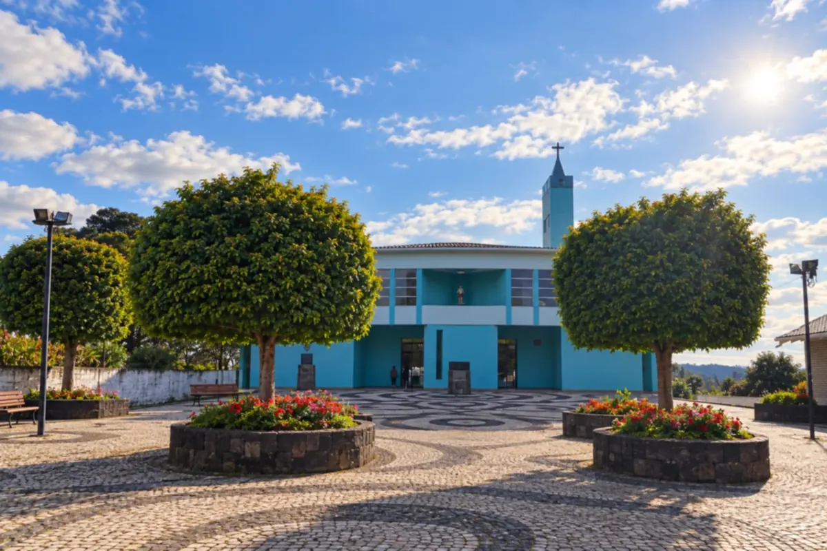
Painel is a small town on the Santa Catarina plateau, surrounded by grasslands and araucaria forest. You can visit the main church square and explore country roads through the highland landscape.
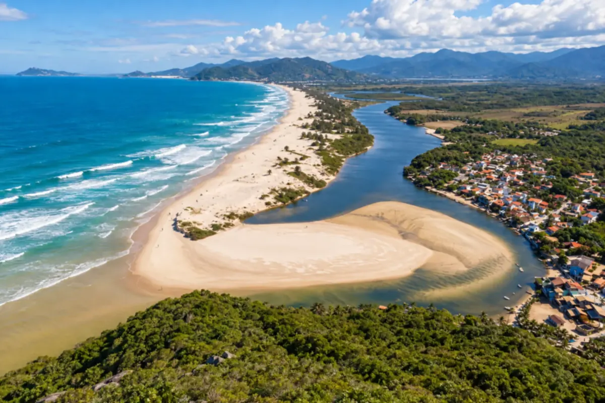
Palhoça brings together beaches, rivers and Atlantic Forest on the Santa Catarina coast. At Guarda do Embaú, you'll find the mouth of the Rio da Madre and paths that reveal the landscape between the restinga and the sea.
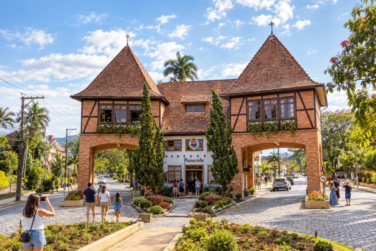
Pomerode displays traditions linked to Pomeranian immigration in museums, architecture and rural tours. The Pórtico Sul marks one of the city’s entrances, the Museu Pomerano gathers objects of local memory and the Rota do Enxaimel passes by historic buildings. The zoo adds a visit focused on fauna.
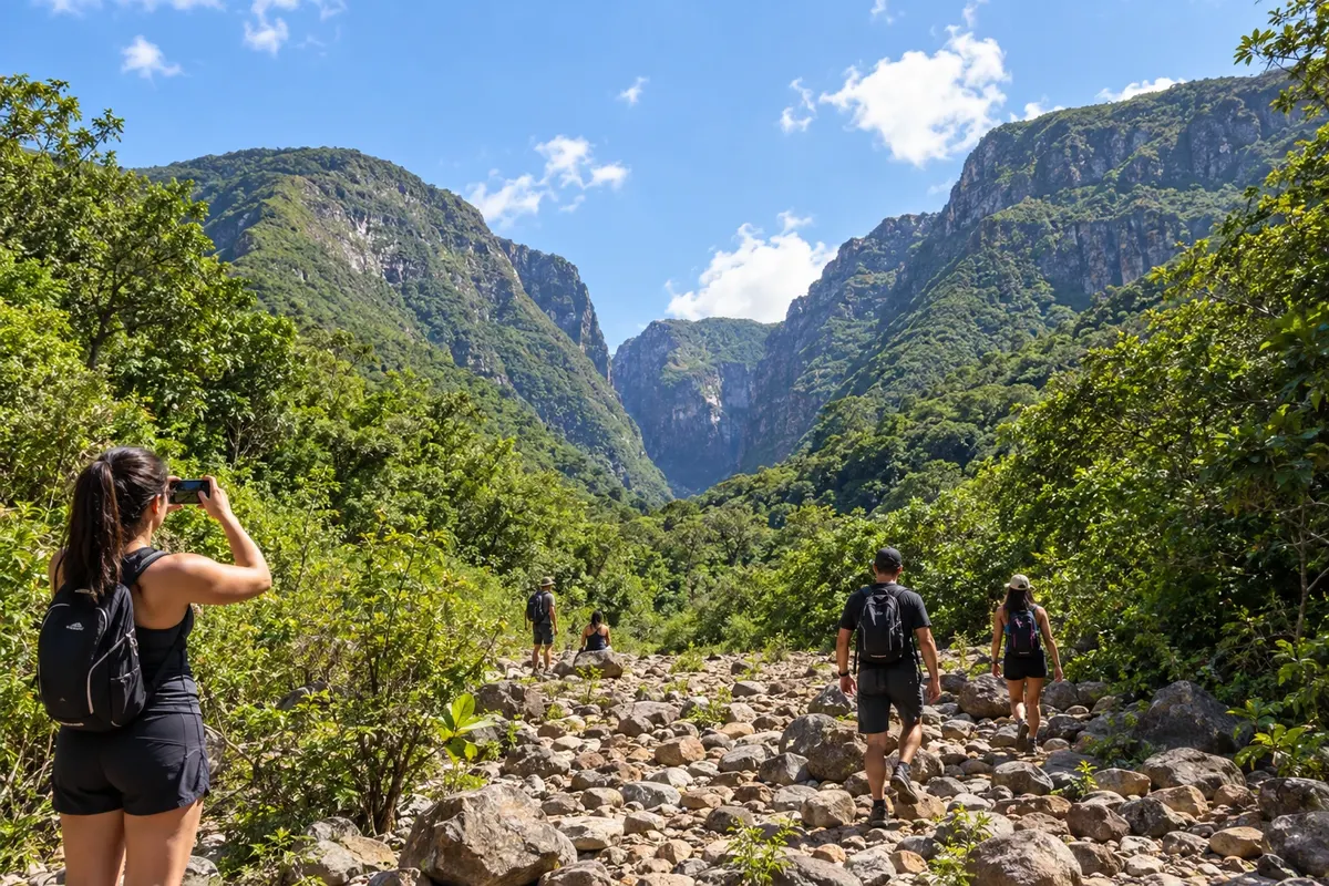
Praia Grande, in Santa Catarina, lies at the foot of the canyon landscape and serves as a base for nature programs. Trails in Malacara, in Pedra Branca and visits to waterfalls allow you to explore valleys and cliffs. The town is inland: its name does not indicate a seaside beach.
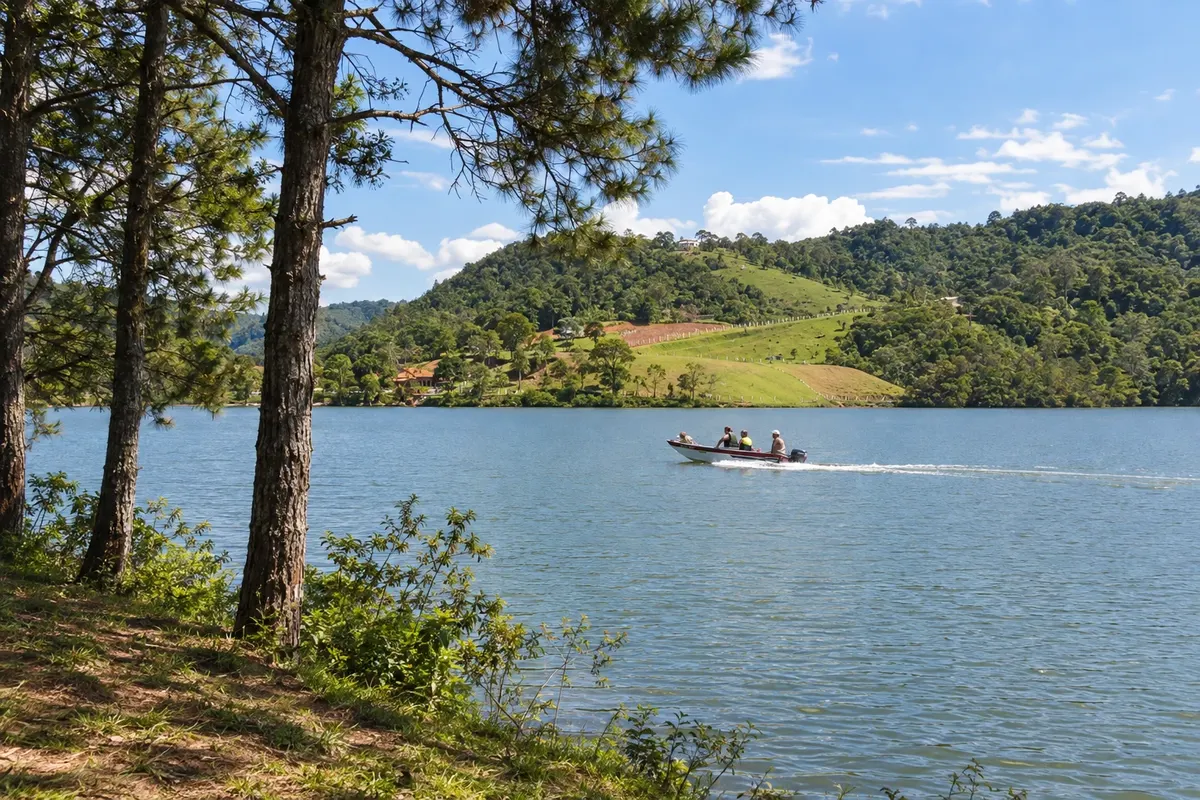
Rio dos Cedros has water-and-mountain landscapes in the Região dos Lagos: the Represa do Pinhal in Alto Cedros, and the Represa do Rio Bonito in Palmeiras. The Museu da Imigração documents the daily life of the settlers, and Morro São Bernardo is a reference point for free flight. On the bicycle circuit, the municipality appears both in the initial passage through the town seat and in stages in the highlands, with dirt roads.
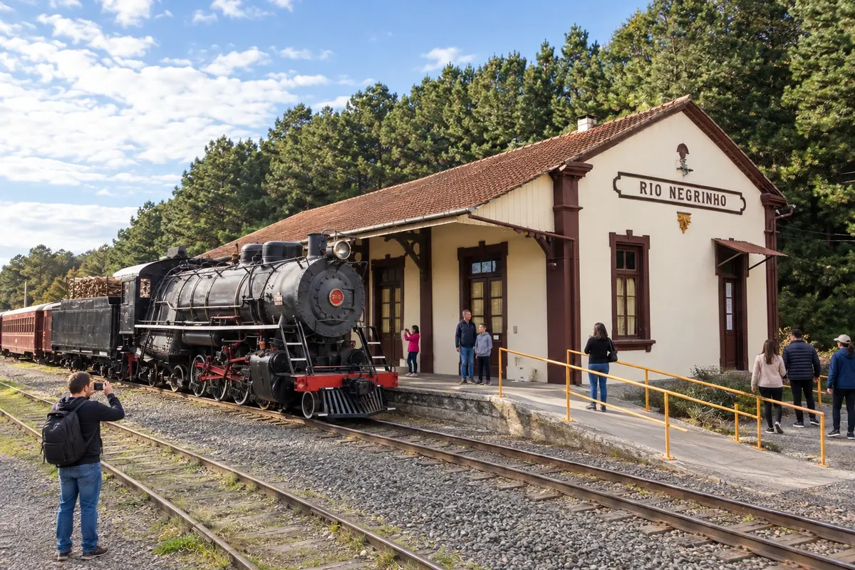
Rio Negrinho preserves its railway memory at the Estação Ferroviária, home to a collection of equipment and the Maria Fumaça train rides. The Museu Municipal Carlos Lampe occupies the Casarão Zipperer and presents another part of the local history. Among cultural visits, the Parque Paul Harris offers a tree-lined space in the town center.
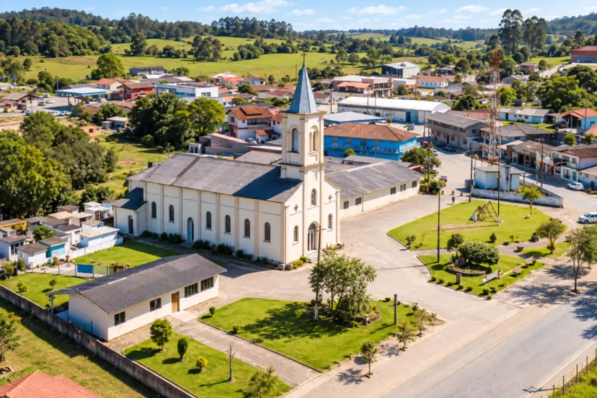
Rio Rufino lies in a valley of the Serra Catarinense, surrounded by hillsides and farmland. You can visit the small town center and explore the rivers and waterfalls around the town.
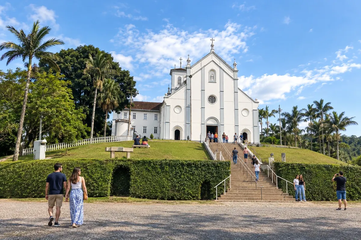
Rodeio preserves Trentino culture at the Museu dos Usos e Costumes da Gente Trentina and at the Igreja Matriz São Francisco de Assis. The Caminho dos Anjos, in Ipiranga, gathers religious sculptures on the hillside, and the Vinícola San Michele showcases the municipality's wine production. The bicycle route crosses this area before climbing to the upper part of the Vale Europeu along rural roads with unpaved sections.
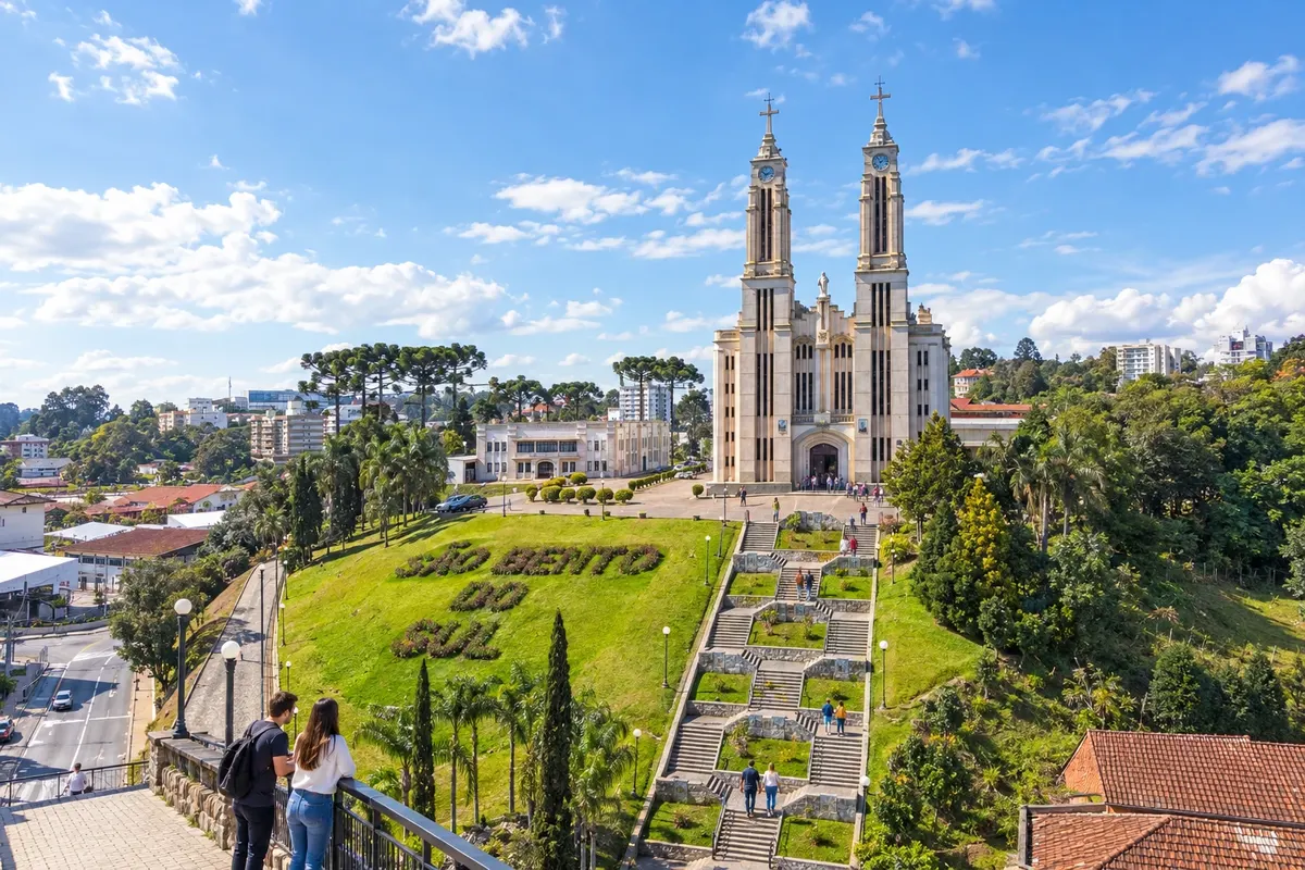
São Bento do Sul has a history of immigration that appears in the former house of the physician Dr. Felippe Maria Wolff, now the Museu Municipal. The Igreja Puríssimo Coração de Maria, atop a staircase, marks the urban center. In Oxford, the butterfly collection at the Museu Natural Entomológico Ornith Bollmann broadens the visit to the city's heritage.
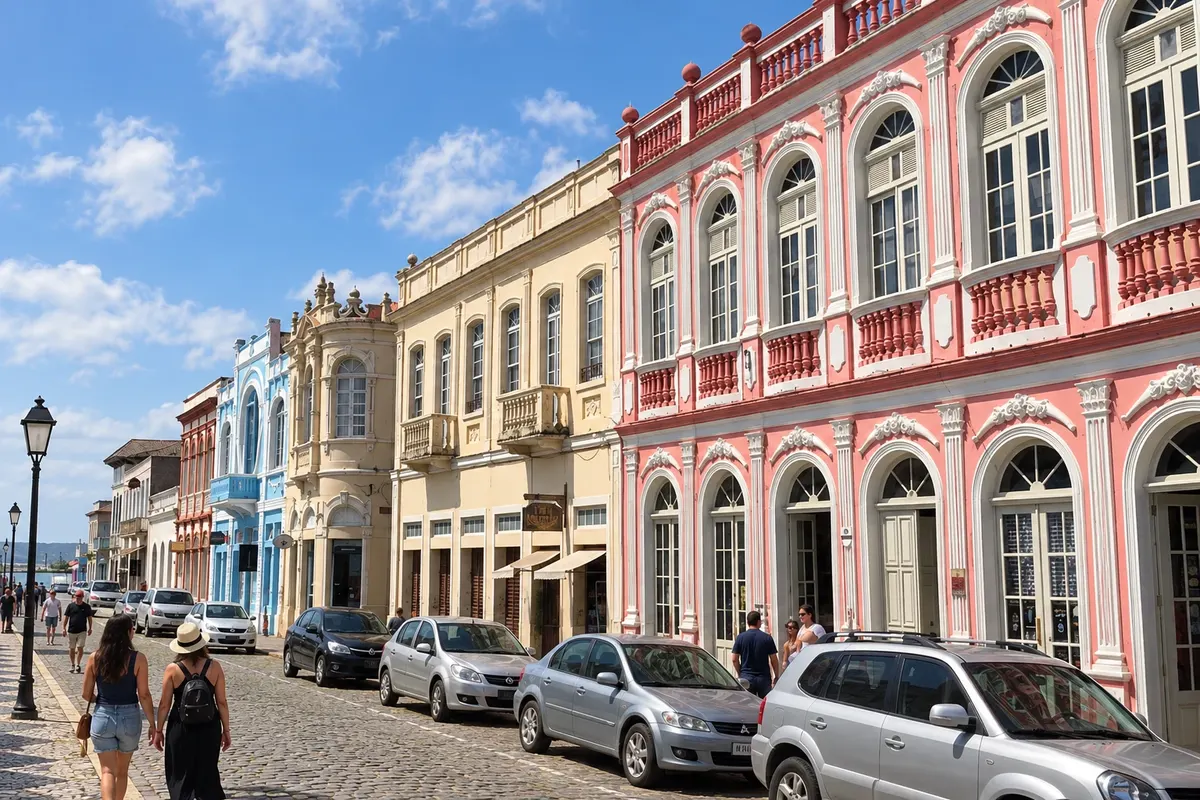
São Francisco do Sul preserves a Historic Center facing the Baía da Babitonga, with streets and buildings from different periods. The Museu Nacional do Mar displays traditional Brazilian vessels, and the Igreja Nossa Senhora da Graça occupies the central square. Outside the old core, the Forte Marechal Luz recalls the defense of the island's maritime entrance.
São Joaquim has a landscape of high-altitude grasslands and a town center marked by its stone church. You can stroll around the squares and get to know the local farming and the roads of the Santa Catarina highlands.
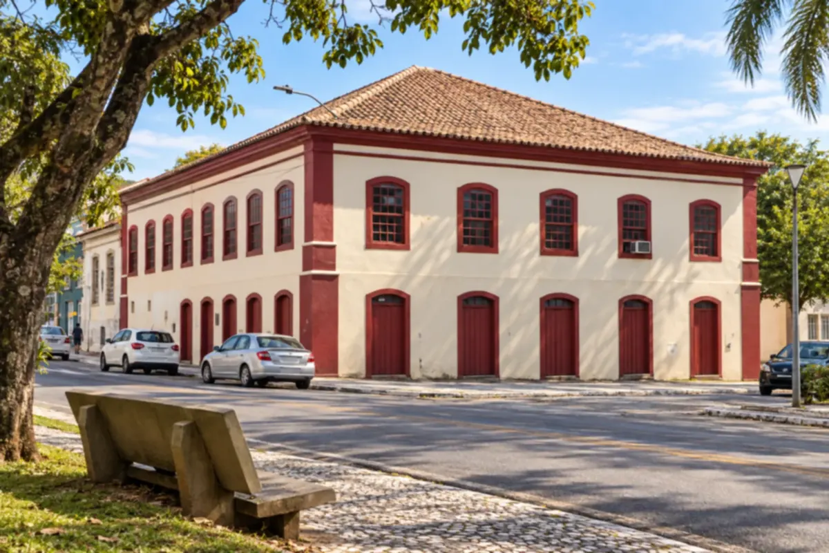
São José preserves a historic center of Azorean origin on the shores of the Baía Sul. Walks through the old squares and streets let you discover its architectural heritage and the town's bond with the sea.
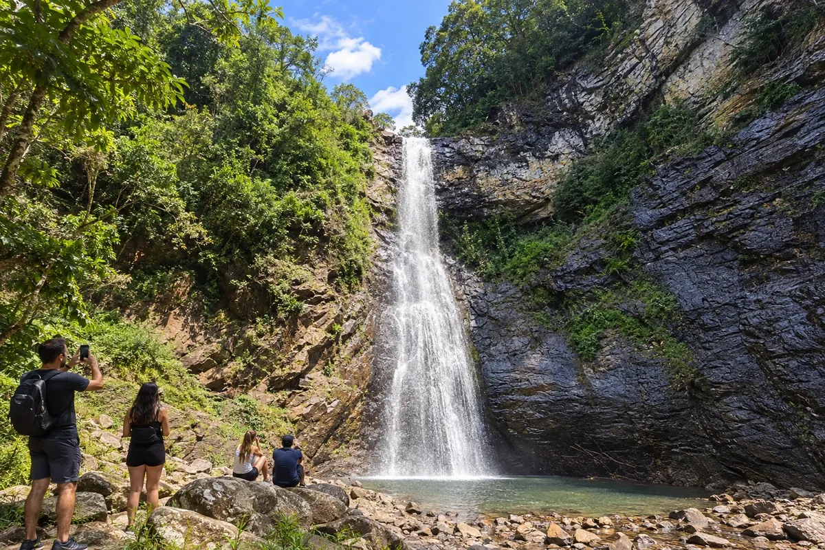
Timbé do Sul lies at the foot of the Serra da Rocinha, between rivers and cliffs of the Serra Geral. The Cascata do Padre is on the Rio Fortuna, and the Toca do Tatu preserves galleries associated with megafauna. The Cachoeira da Cortina, in the Serra Velha, has a recorded closure; confirm municipal clearance before planning your access.
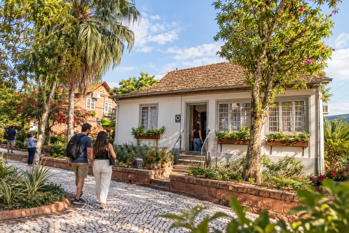
Timbó brings together the memory of immigrants in the former Benz family home and historical instruments at the Museu da Música. The Jardim Botânico Franz Damm offers walks by the lake, while Morro Azul allows observation of the municipality's relief. The city is the start and end base of the Circuito Vale Europeu de Cicloturismo, a cycling route with dirt roads and climbs.
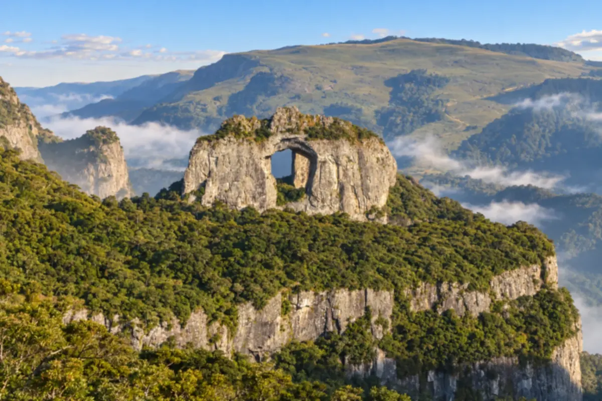
Urubici brings together valleys, high-altitude grasslands and cliffs of the Serra Catarinense. You can visit viewpoints such as Morro da Igreja and follow routes that reveal rock formations and forest areas.
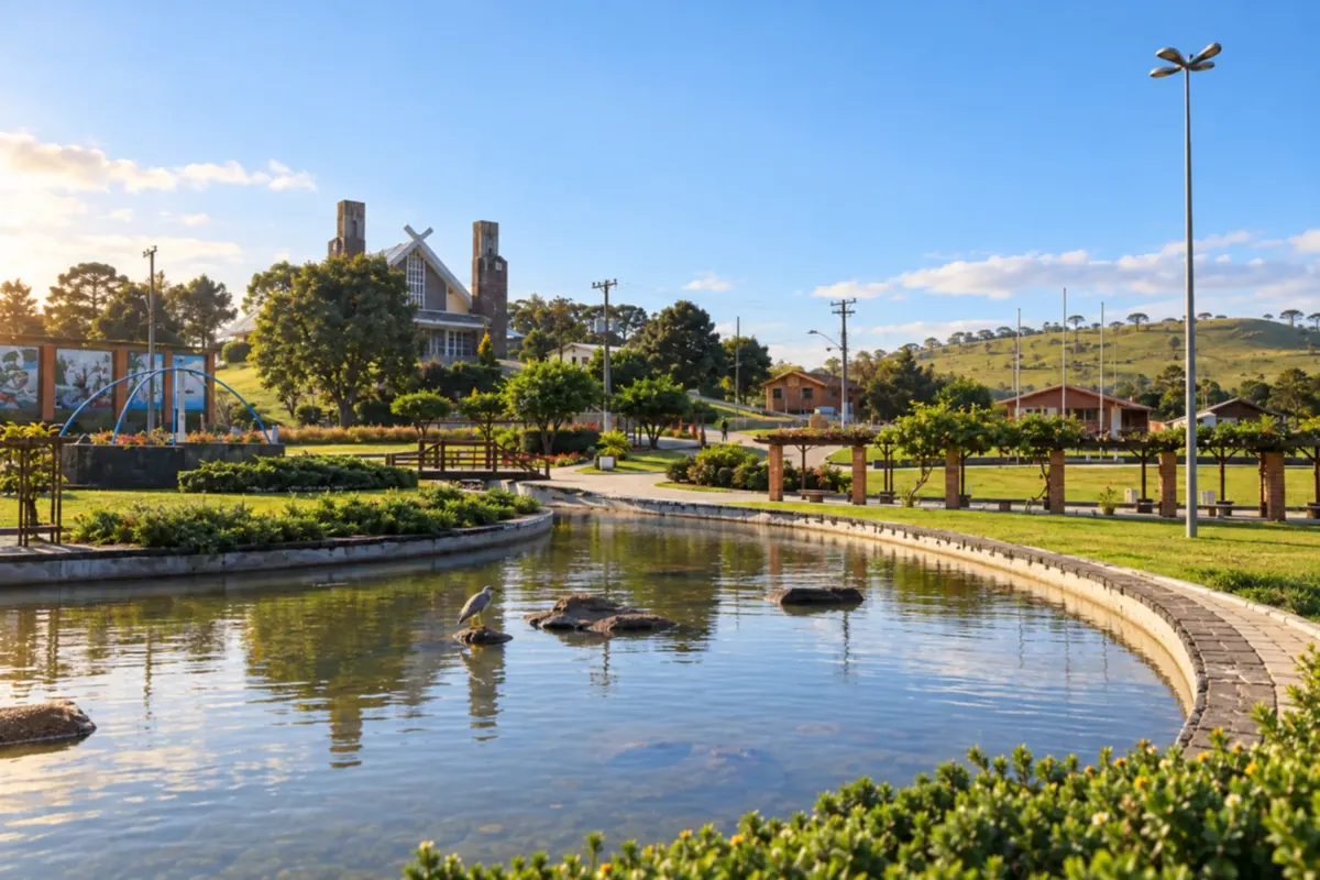
Urupema sits on the Santa Catarina highland plateau, among grasslands and araucaria woods. You can stroll around the main square and see a rural landscape shaped by cold winter temperatures.
Routes
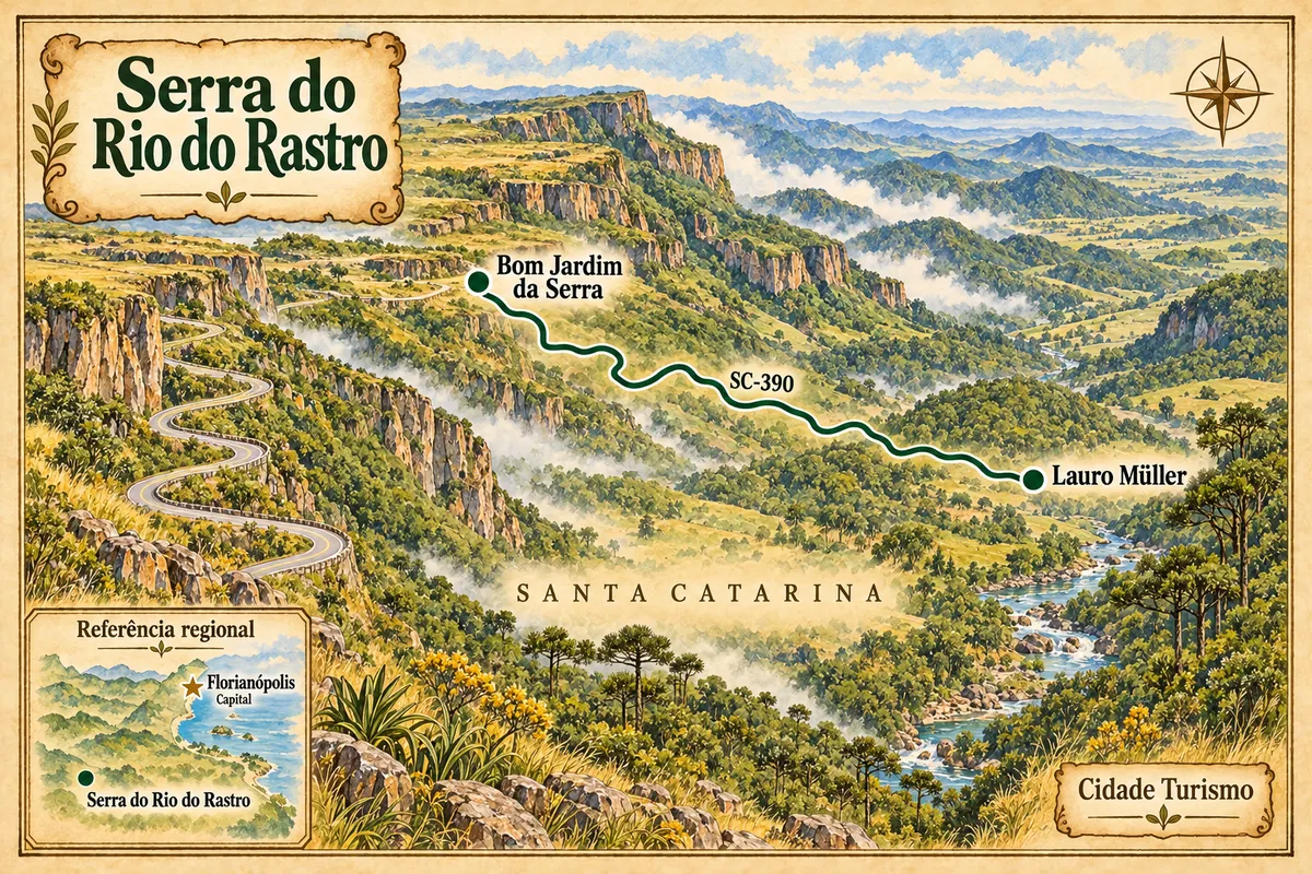
From the base in Lauro Müller to the plateau in Bom Jardim da Serra, along the curves of the SC-390.
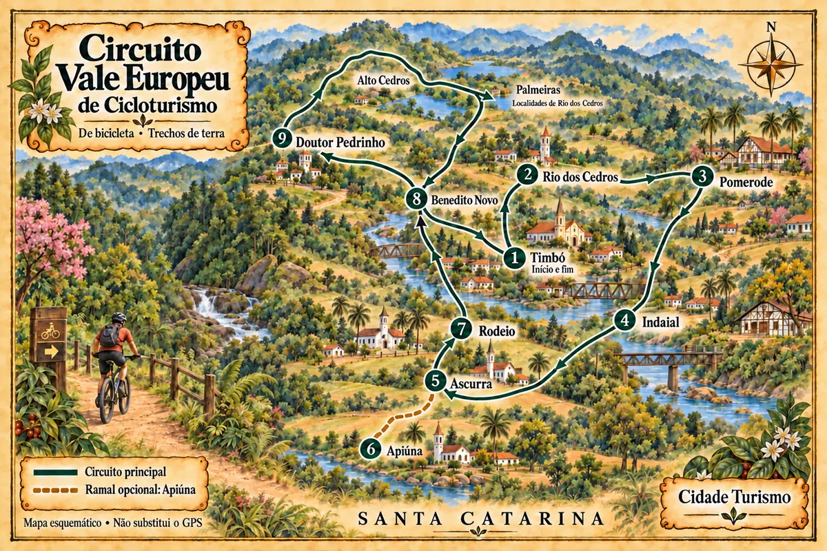
A bicycle circuit through nine municipalities of Santa Catarina, with dirt roads, immigration heritage and stages in the Região dos Lagos.
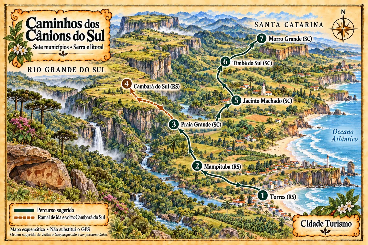
Seven municipalities between the coast and the Serra Geral, with canyons, waterfalls, paleotocas and rural paths in the territory of the Geopark.
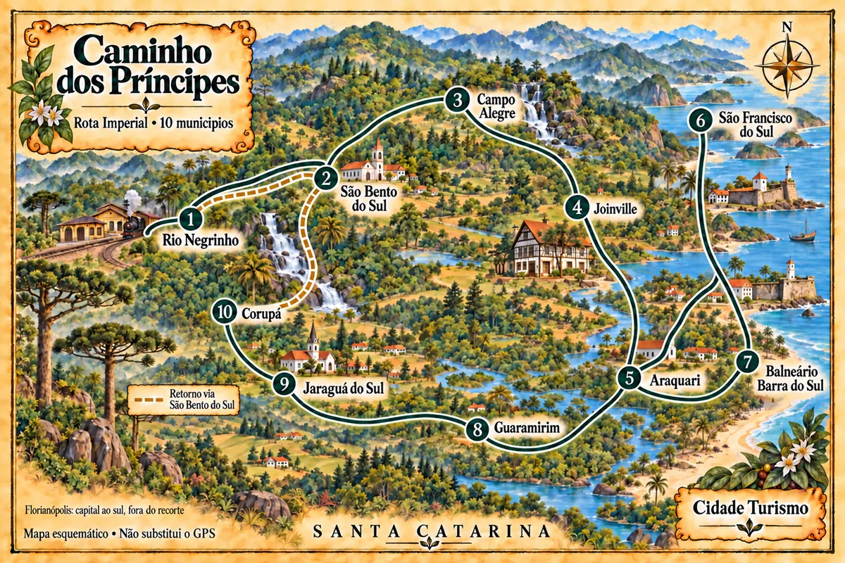
Ten cities in northern Santa Catarina on a driving circuit that links railway memory, museums, the mountains and maritime heritage.
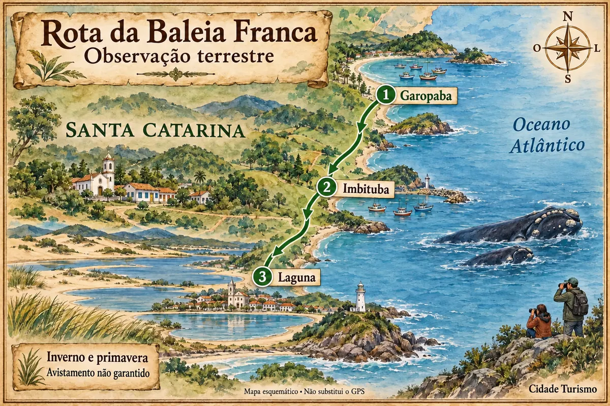
Garopaba, Imbituba and Laguna on a trip along the coast, with onshore whale watching during the season.
On the coast, the season runs from December to March, with heat, warmer sea and rain showers. Outside that period, the beaches empty and the weather changes quickly with cold fronts. In the highlands, June to August bring frosts and subzero mornings; snow is rare and unpredictable. Southern right whales stay on the southern coast from July to November, with more sightings through September. Festivals: Festa Pomerana in January, Festa Nacional do Pinhão in Lages between May and June, Blumenau’s Oktoberfest in October.
Hercílio Luz International Airport in Florianópolis is the main entry. For Balneário Camboriú, Itajaí and Blumenau, Ministro Victor Konder Airport in Navegantes is closer; Joinville also has regular flights. The BR-101 runs along the entire Santa Catarina coast. The BR-470 leaves Navegantes and climbs the Vale do Itajaí to Blumenau. The BR-282 links Greater Florianópolis to Lages. From the south, the SC-390 rises from Lauro Müller to Bom Jardim da Serra, starting from BR-101 near Tubarão. Praia Grande lies west of BR-101, at the state's southern extreme.
Your questions
It’s possible, but rare. Snow falls on a few days in some winters, with no set timing. What happens almost every year, from June to August, are strong frosts and white fields in the mornings in São Joaquim, Urupema and Urubici. If seeing snow is your goal, follow the forecast and book with flexibility.
Yes. Morro da Igreja is inside the Parque Nacional de São Joaquim, and the ascent requires prior authorization from ICMBio, which must be obtained in person at the park unit in downtown Urubici. The access road is paved.
The road is paved, but it has successive tight curves and steep sections. Fog and rain are frequent and reduce visibility. Use a low gear on the descent, avoid driving at night and check road conditions before you set out.
In Imbituba, Garopaba and Laguna, from viewpoints and headlands on land. Praia do Rosa in Imbituba and Praia da Gamboa in Garopaba are among the most popular spots. July through September concentrate the sightings. In Imbituba, the Centro Nacional de Conservação da Baleia-Franca welcomes visitors.
It depends on your itinerary. The north of the island has calmer-water beaches and more service infrastructure. The Lagoa da Conceição sits between the east and south beaches. The city center and the mainland make it easier for those who will travel to other towns. In high season, traffic to cross the island is slow, so it’s better to stay near what you plan to visit.
Yes. The two towns are less than 35 kilometers apart. One day allows you to see Blumenau’s center and travel the Rota do Enxaimel in Pomerode, but during Oktoberfest the town gets crowded and it’s worth allowing more time.
Yes. The hike along the floor of Itaimbezinho, starting from Praia Grande, is only done with an accredited guide. It takes seven to eight hours, follows the riverbed and is not recommended after heavy rains. The Malacara trail in Parque Nacional da Serra Geral is shorter and moderate.
Mapa: @svg-maps/brazil, CC BY 4.0