Lages
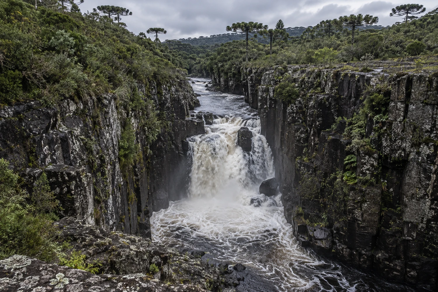
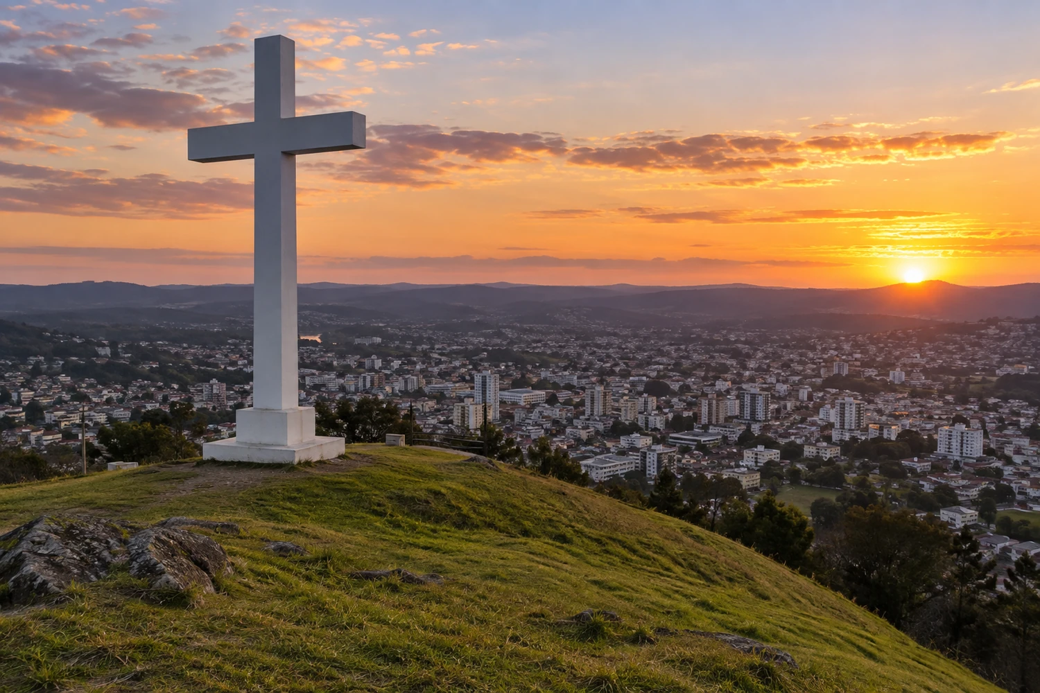
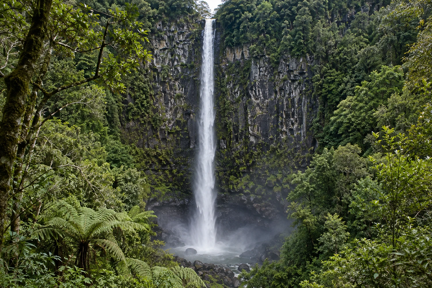
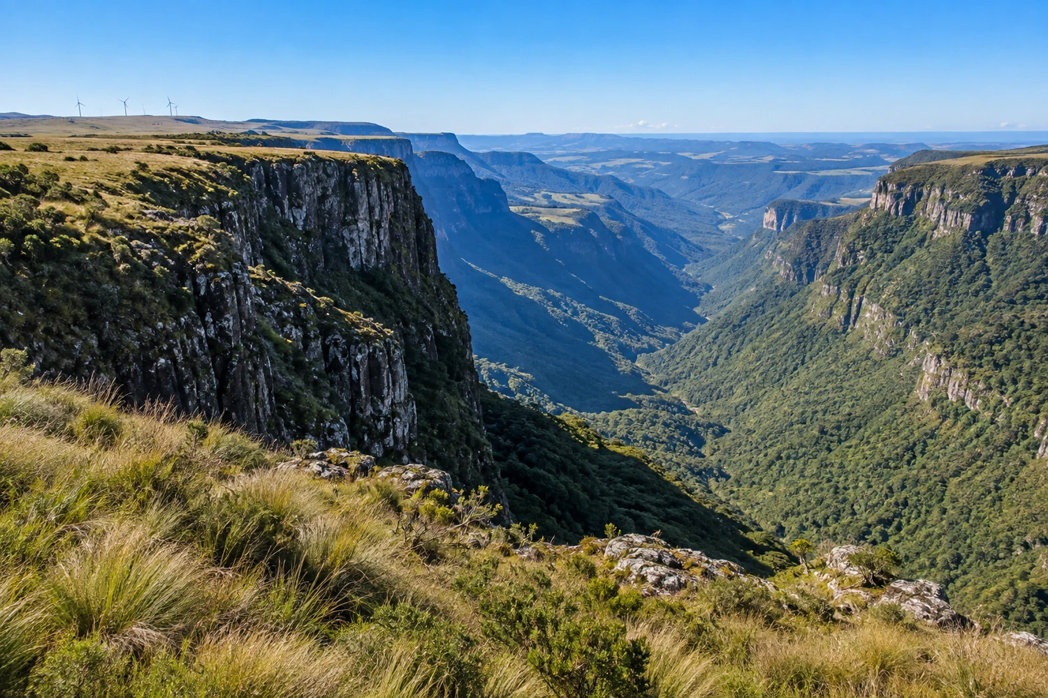
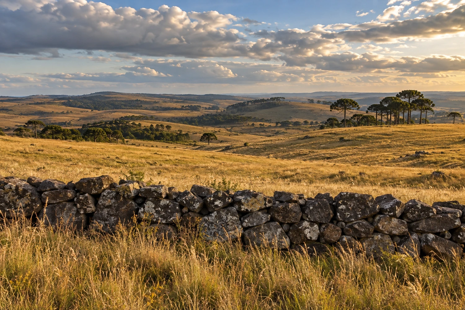
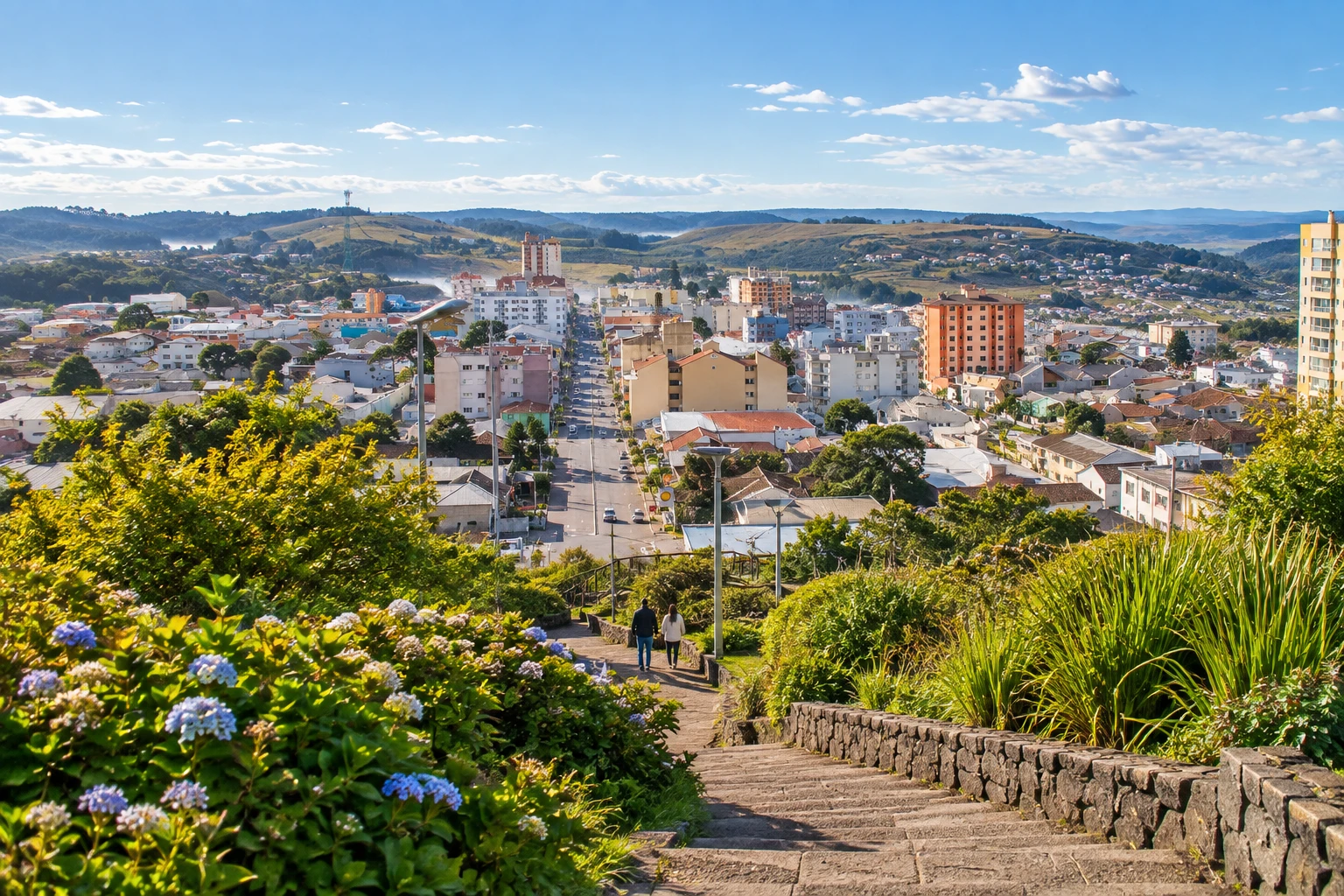
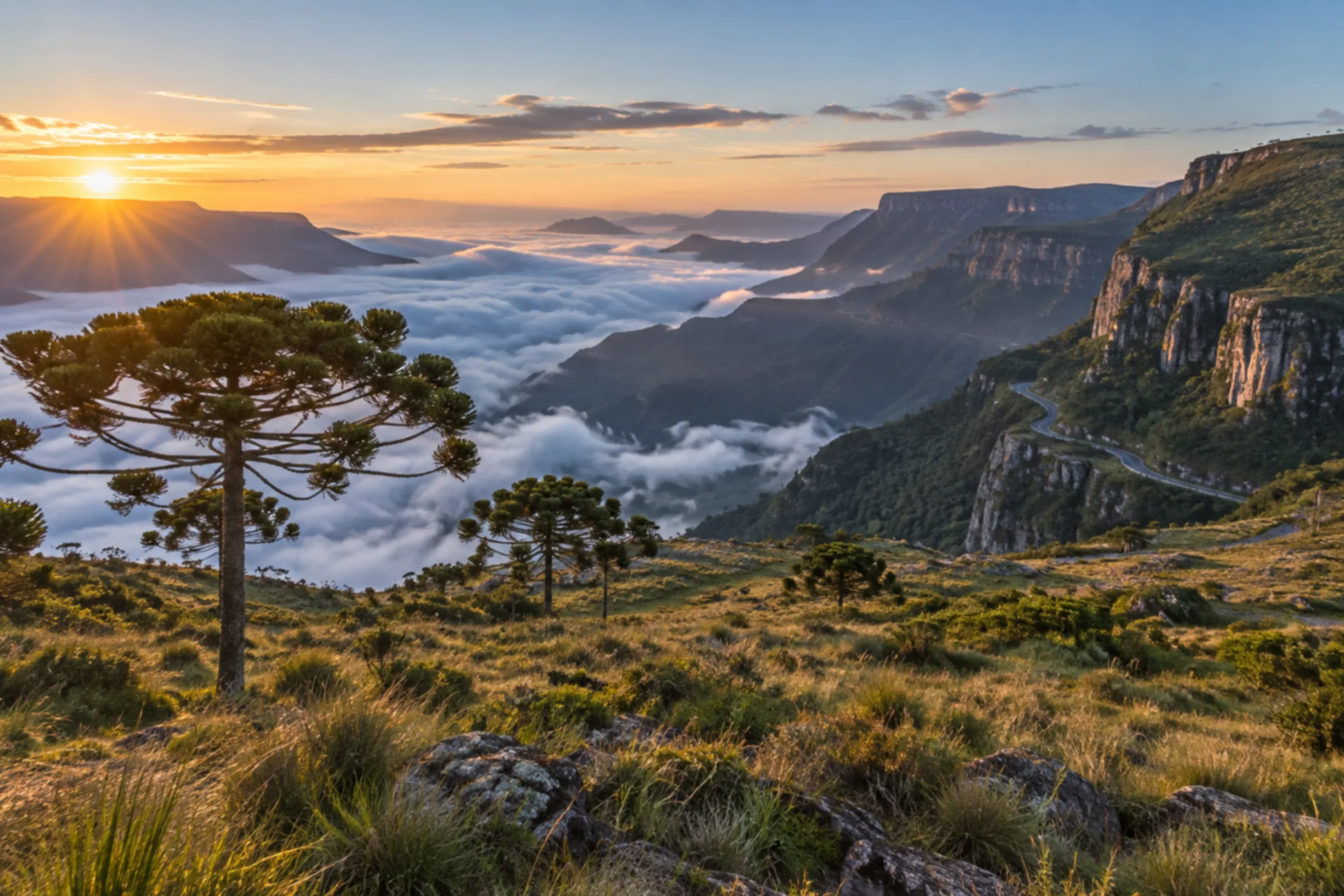
Lages has a history tied to the tropeiros (cattle drovers) and to rural life on the Santa Catarina plateau. You can stroll downtown, visit the cathedral and explore the surrounding landscape of grasslands and araucaria pines.
SC · Brazil
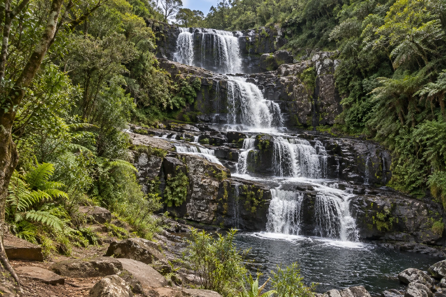
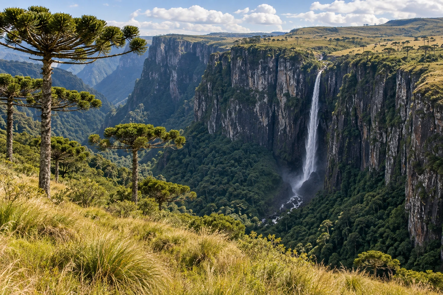
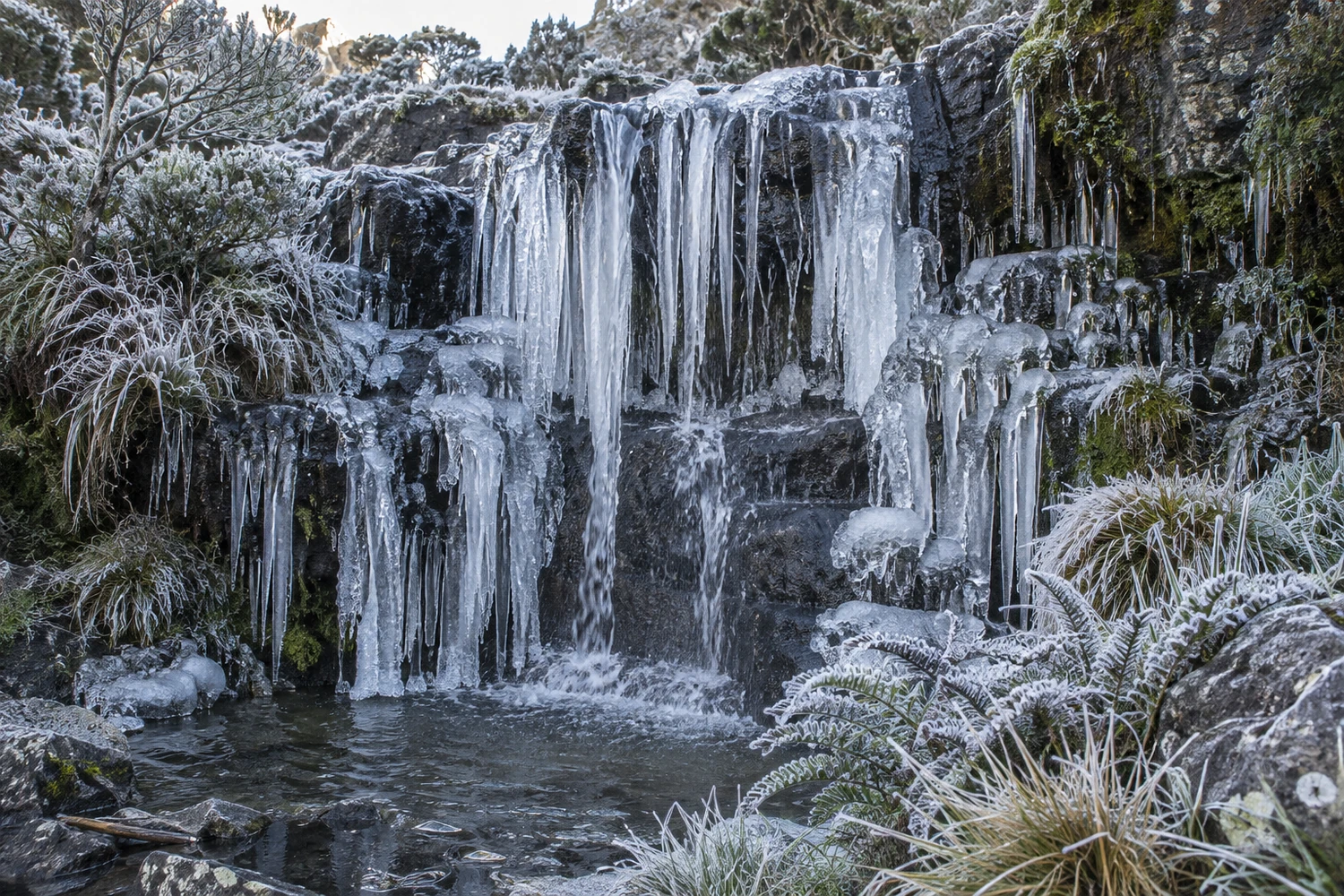
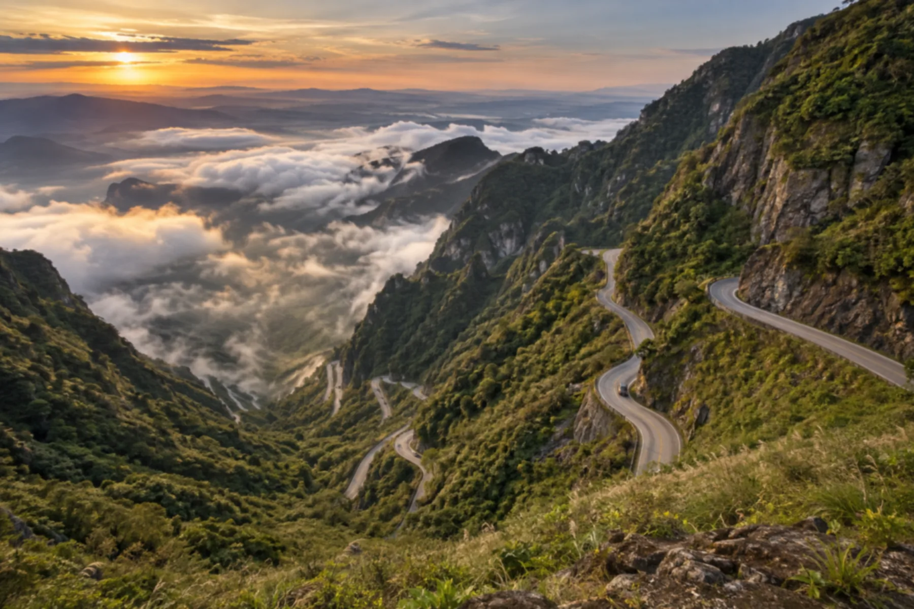
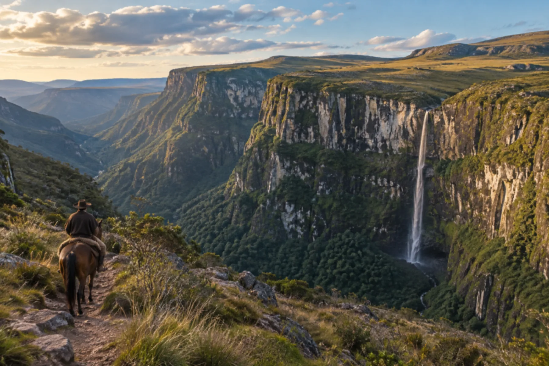
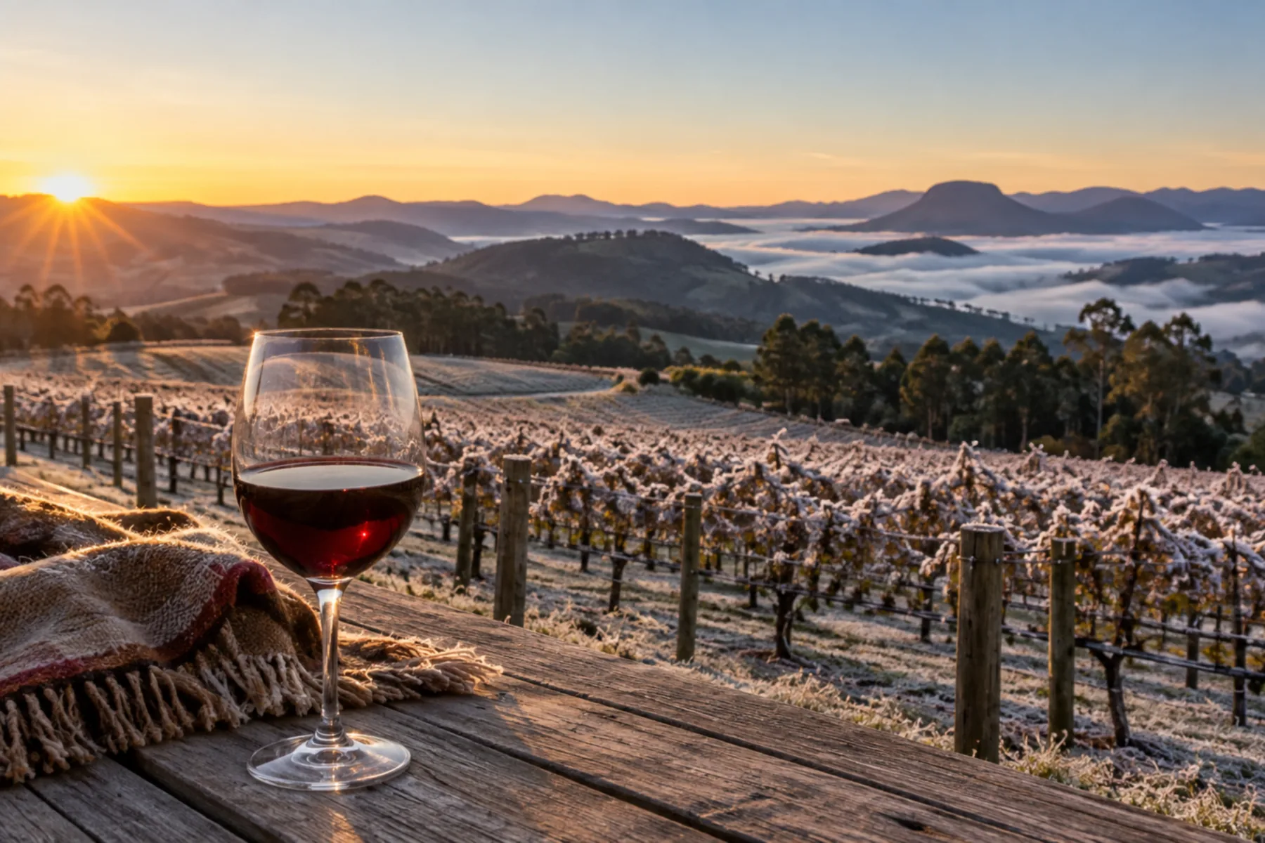
Illustrative images. The pictures in this guide are illustrations based on the real place, not photographs, and may differ from it.
Get to know the place
The Serra Catarinense is where Brazil learns to snow: altitudes above 1,500 meters, frost painting the fields white, and fine wines made in the harshest cold in the country. Days are for scenic roads, canyons, waterfalls and viewpoints hanging over the cliffs; nights are for the fireplace, fondue and high-altitude wine at farm hotels. It is the most authentic winter destination in southern Brazil.
This destination brings together 8 cities: Lages, Urubici, São Joaquim, Bom Jardim da Serra, Urupema, Rio Rufino, Bom Retiro, Painel.
A look at the place
These pictures are illustrations based on the real place, not photographs. They may differ from the place.
Click the picture to enlarge it.
One destination, many paths
Start with one city or combine several in your itinerary.
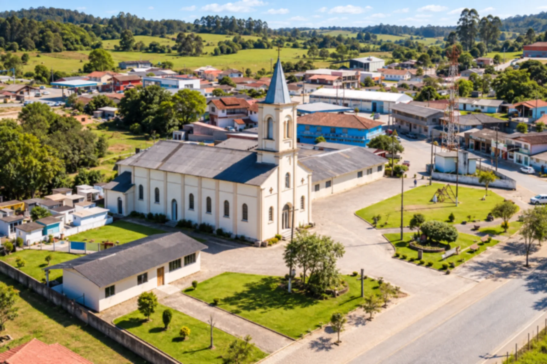
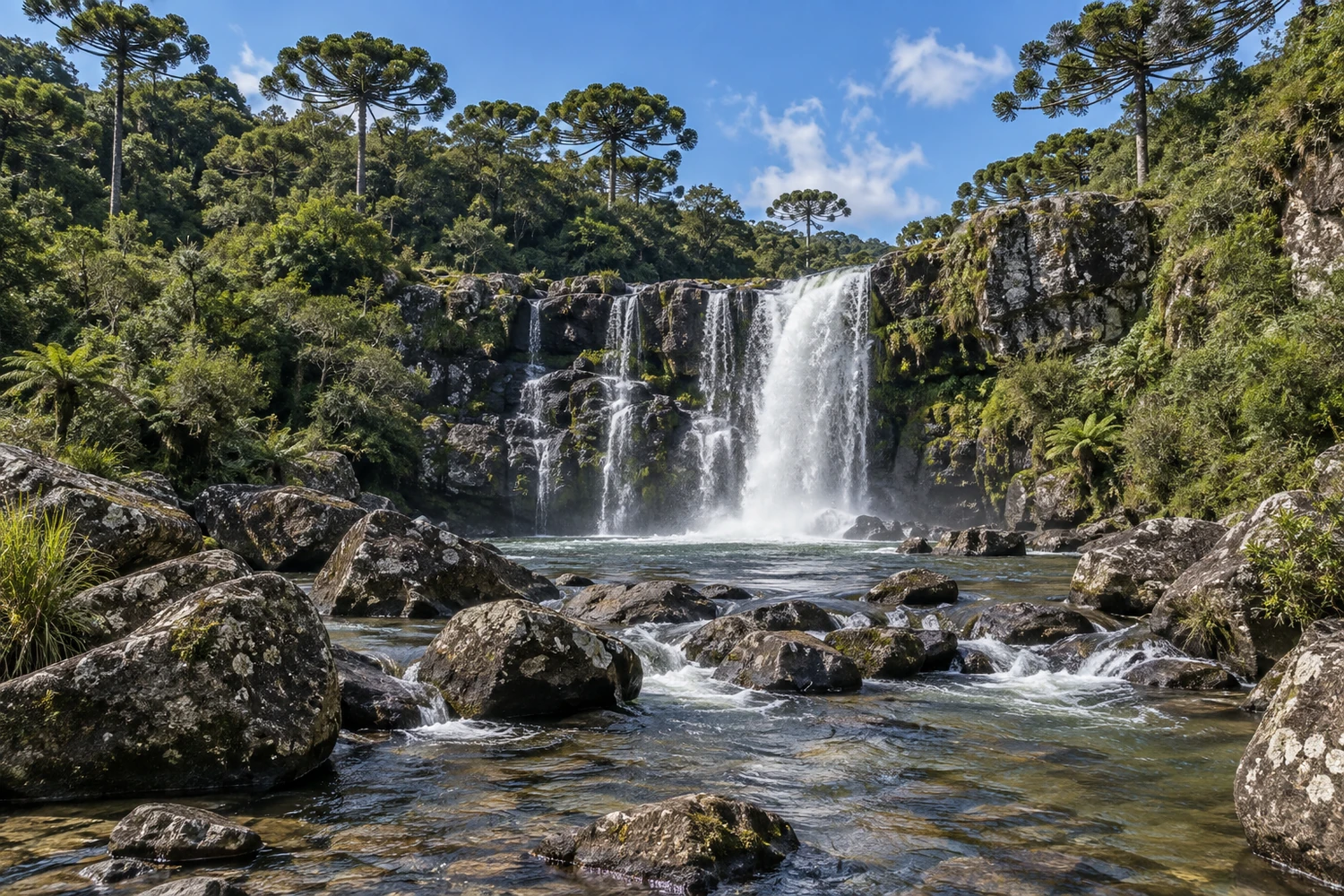
Lages has a history tied to the tropeiros (cattle drovers) and to rural life on the Santa Catarina plateau. You can stroll downtown, visit the cathedral and explore the surrounding landscape of grasslands and araucaria pines.
Urubici brings together valleys, high-altitude grasslands and cliffs of the Serra Catarinense. You can visit viewpoints such as Morro da Igreja and follow routes that reveal rock formations and forest areas.
São Joaquim has a landscape of high-altitude grasslands and a town center marked by its stone church. You can stroll around the squares and get to know the local farming and the roads of the Santa Catarina highlands.
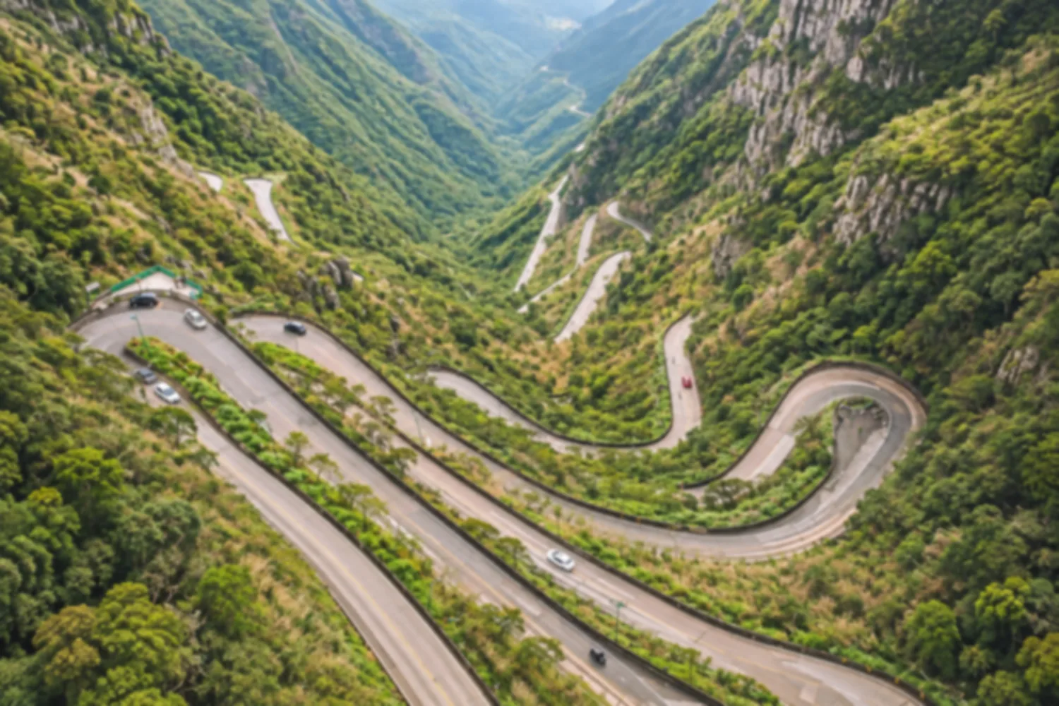
Bom Jardim da Serra sits at the top of the Serra do Rio do Rastro, among grasslands and cliffs. You can watch the curves of the road from the viewpoints and get to know the rural landscape of the Santa Catarina highlands.
Urupema sits on the Santa Catarina highland plateau, among grasslands and araucaria woods. You can stroll around the main square and see a rural landscape shaped by cold winter temperatures.
Rio Rufino lies in a valley of the Serra Catarinense, surrounded by hillsides and farmland. You can visit the small town center and explore the rivers and waterfalls around the town.
Bom Retiro brings together grasslands, araucaria pines and mountains on the Santa Catarina highland plateau. You can see the religious heritage downtown and explore country roads through valleys and woodland.
Painel is a small town on the Santa Catarina plateau, surrounded by grasslands and araucaria forest. You can visit the main church square and explore country roads through the highland landscape.
The local experience
Reached by a moderate trail of about 5 km round trip, with stream crossings, rocky stretches and dense forest. The Rio do Tigre is part of the Rota da Truta (Trout Route) and is known for its rainbow trout.
Discover Cachoeira do Rio do Tigre
A rock formation about 20 meters high on private property, with three waterfalls, including the 10-meter Cachoeira Papuã. There is an entrance fee, paid at the access farm, booking is required, and the short trail has a steep descent with ropes for support.
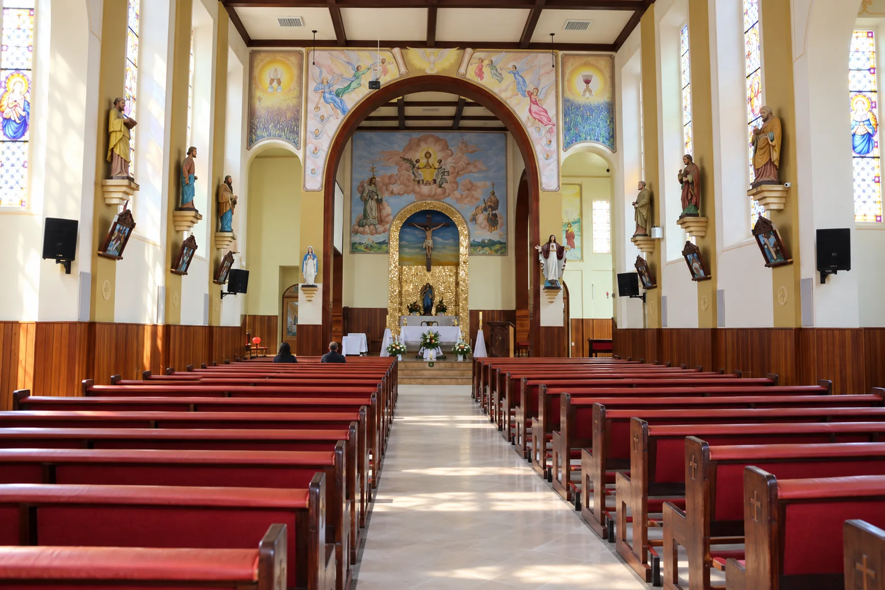
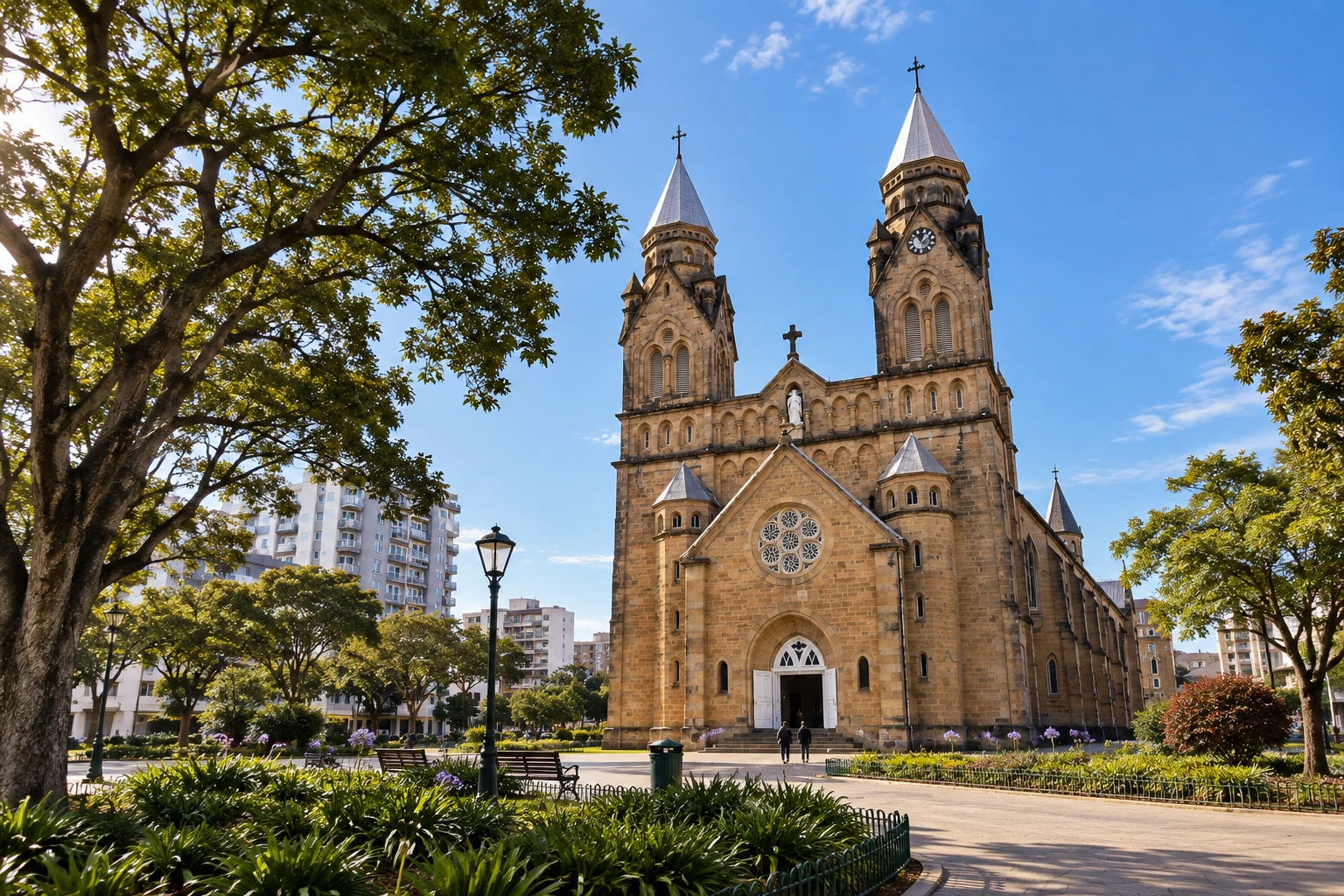
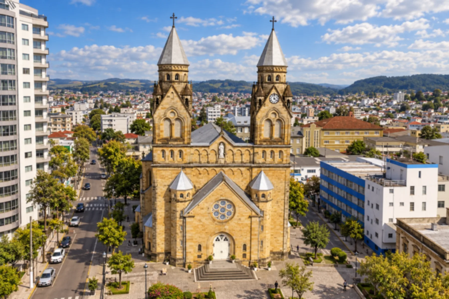
Opened in 1922, it was built of orange-toned stone in the neo-Gothic style, on Praça João Ribeiro. The stained-glass windows came from Germany, and the high altar displays statues of Senhor dos Passos and Nossa Senhora das Dores (Our Lady of Sorrows).
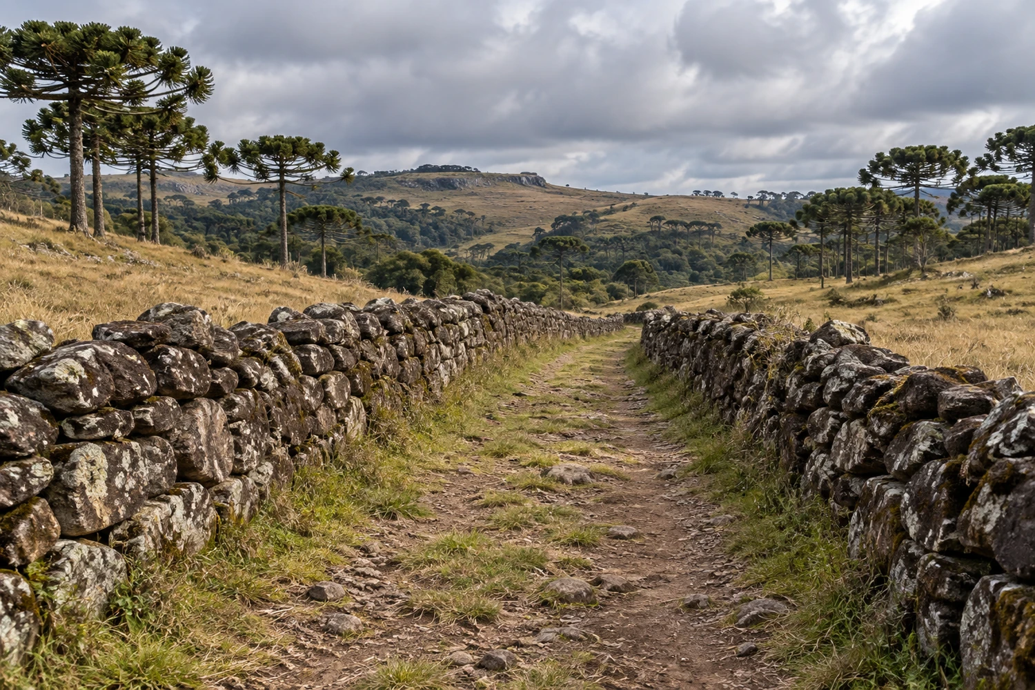
A preserved stretch of about 18 km of the old cattle-drive trail between Lages and Laguna, opened between the 18th and 19th centuries, with stone walls visible in the Boa Vista area. Access is through Fazenda Passo de Pedra and requires permission and booking.
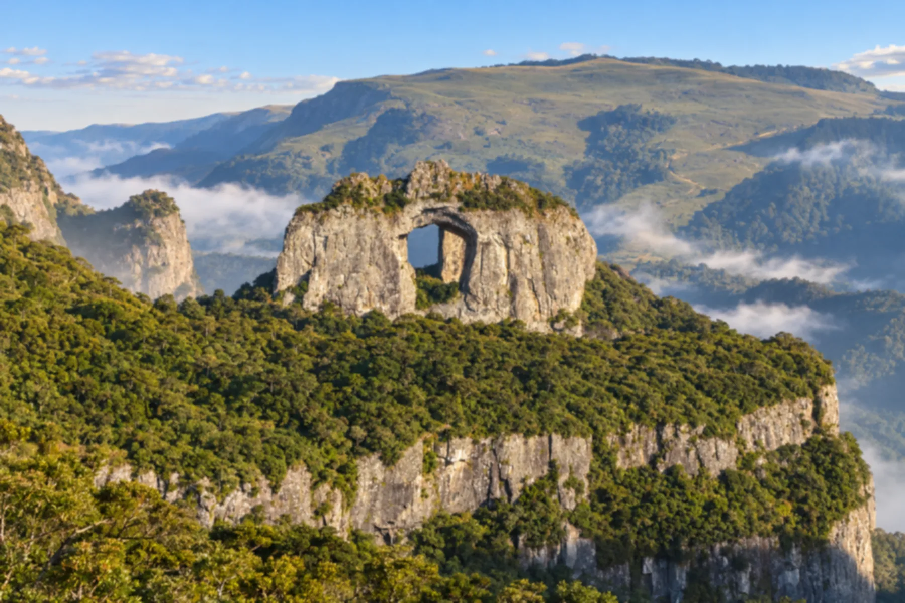
One of the highest inhabited points in southern Brazil, at 1,822 meters, inside the Parque Nacional de São Joaquim, where some of the lowest temperatures in the country have been recorded. From there you see the Pedra Furada, a rock with an opening of about 13 by 6 meters.
Discover Morro da Igreja e Pedra Furada
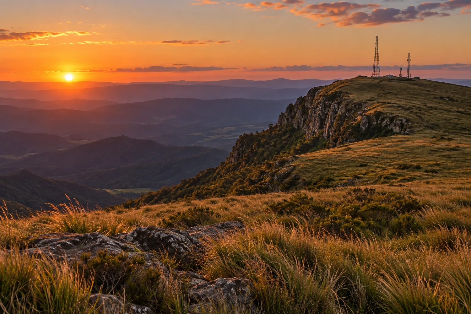
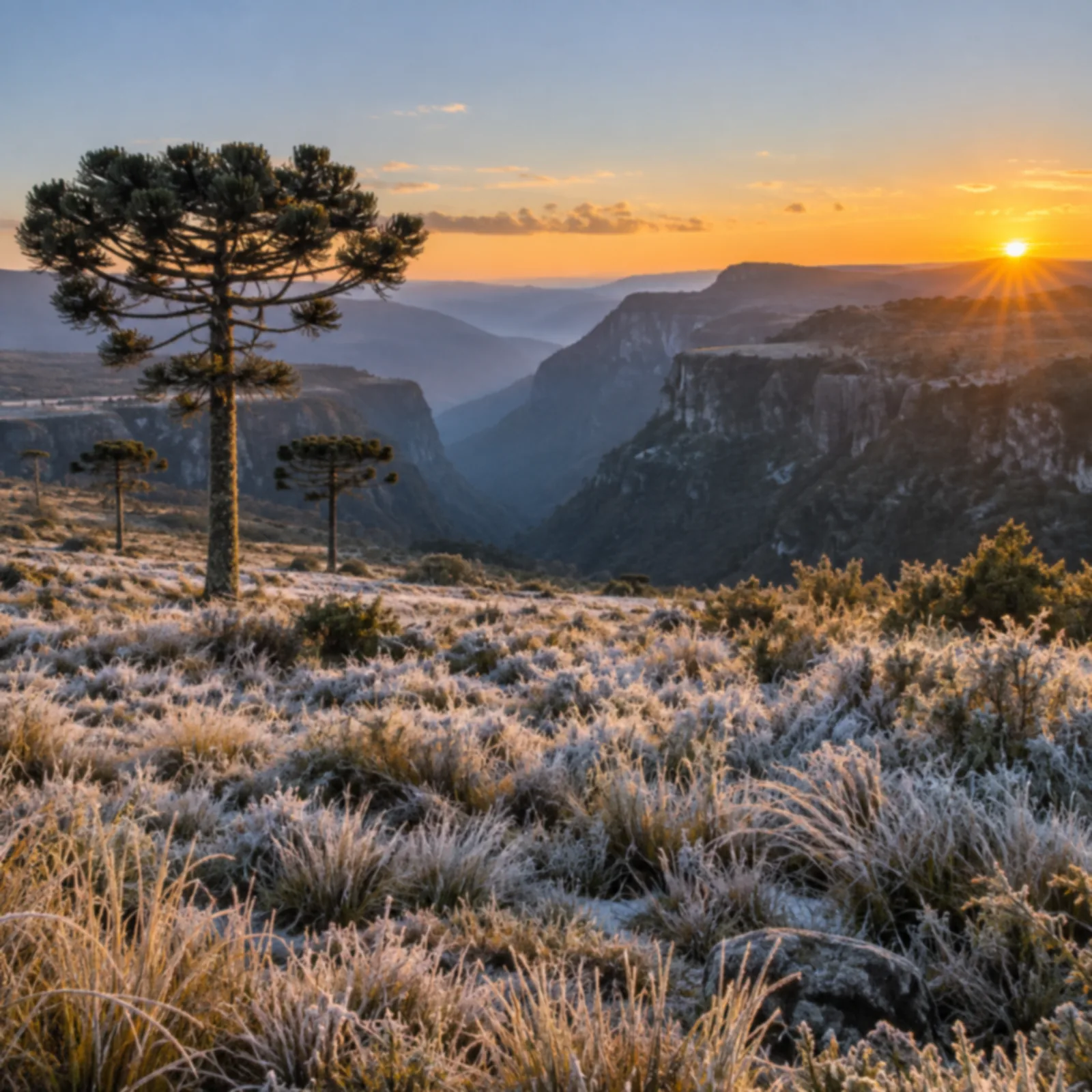
At about 1,750 meters of altitude, with communication towers at the top, it is 7 km from downtown, on the border with Rio Rufino. It is known for its frozen landscapes, with heavy frost and occasional snow on the coldest days.
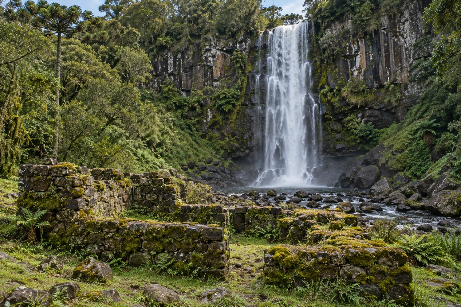
The falls are about 3 km from downtown and reached by an easy walk of about 30 minutes. The name recalls a pulp mill that operated in the 1940s, whose ruins can still be seen.
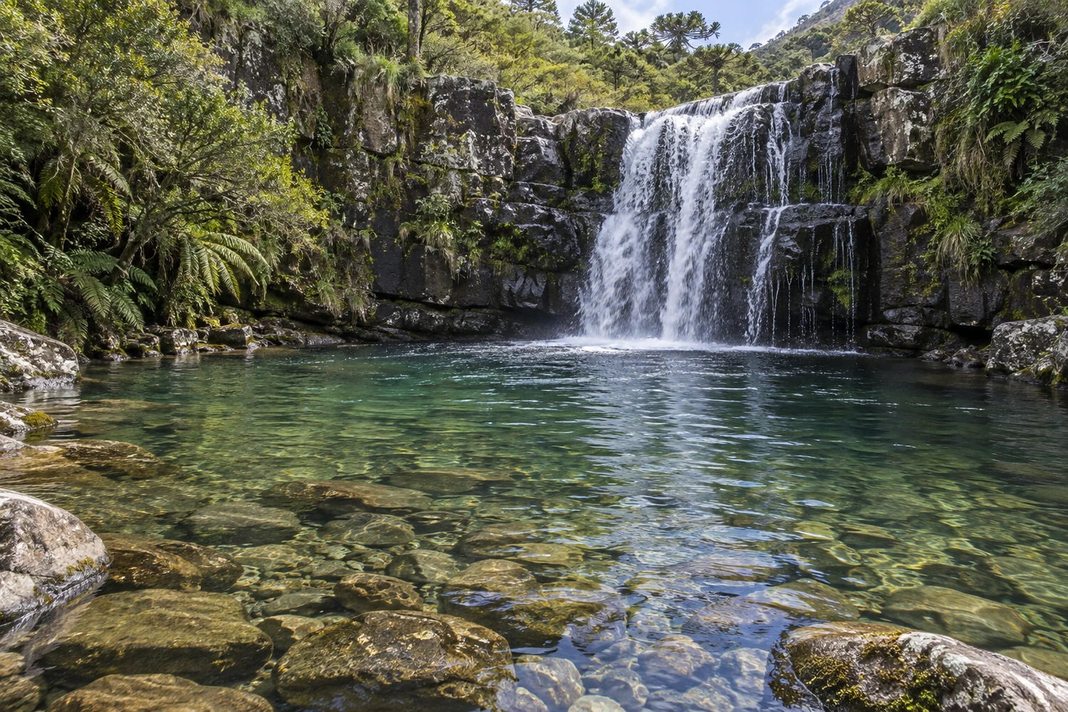
Made up of three drops totaling about 70 meters, it is in the Barbaquá area, 20 km from downtown. The trail has stretches with wooden stairs, and visits are booked with a local guide.
Discover Cachoeira do Barbaquá
It lies on the edge of the Parque Nacional de São Joaquim (national park), with waterfalls pouring down its cliffs. Access is through the Rincão da Palha and Santa Cândida farms, which charge a fee and require booking.
Discover Cânion das Laranjeiras
A few kilometers from downtown, this waterfall creates a rare sight in Brazil: it freezes during spells of extreme cold, with several days in a row below zero. Admission is free.
A drop of about 100 meters with platforms on both sides, including a glass-floored viewpoint over the abyss. If you have the stamina, you can hike down the trail to the base, inside the forest.
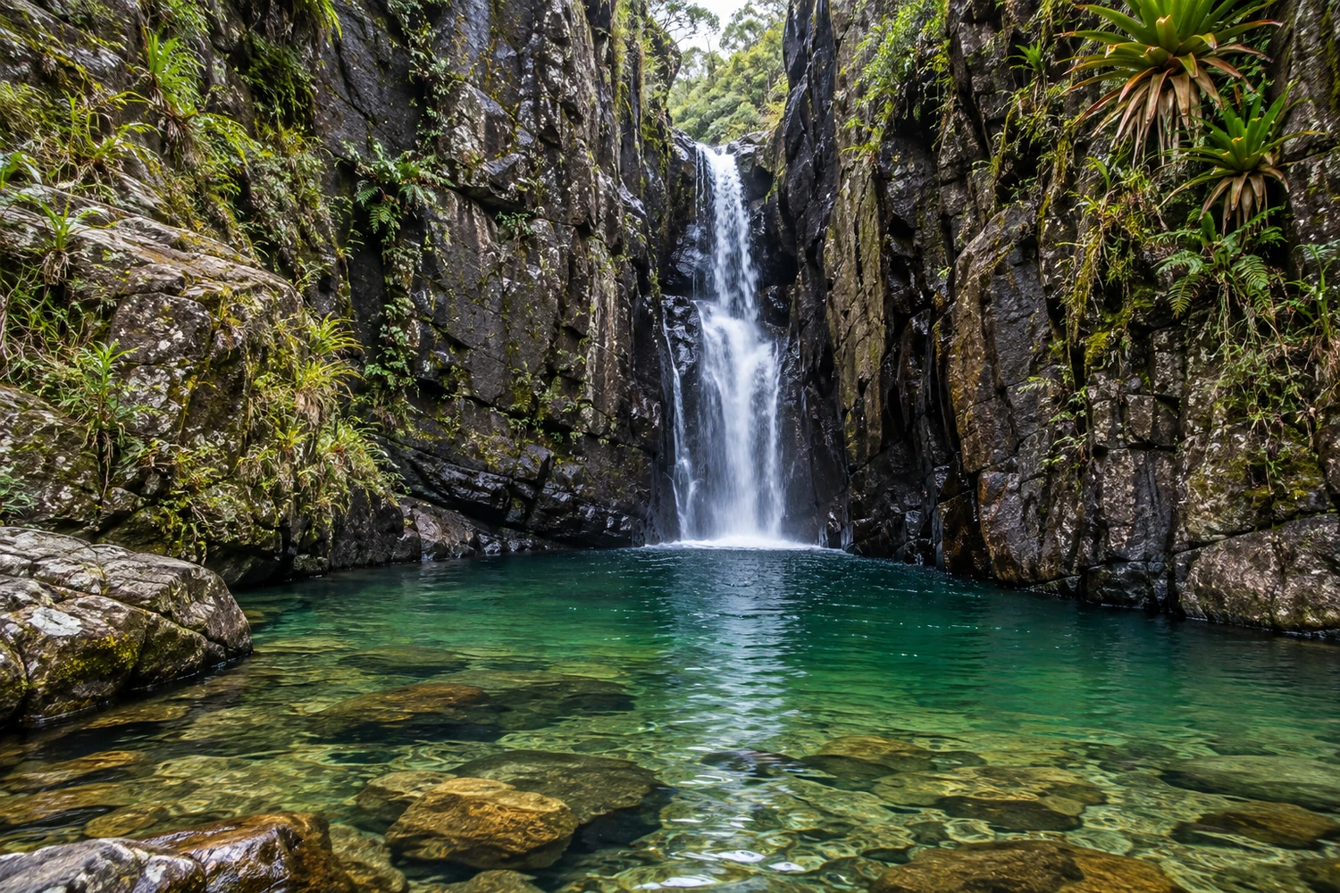
A narrow gorge carved by the Rio Caveiras on Fazenda Morro Chato, on the border with Lages, with a waterfall between rock walls. Access is only on foot or on horseback, on a tour guided by a local ecotourism agency.
A viewpoint more than 1,000 meters above sea level, 3 km from downtown, reached by car or by a 513-step stairway. At the top stand a white cross almost 20 meters tall and a chapel, the setting for reenactments during Holy Week.
At 55 meters high, it is in the Paraíso da Serra community, less than 5 km from downtown. An easy 800-meter trail leads to the falls, and visits must be booked in advance.
Next to the wind farm at the top of the Serra do Rio do Rastro, it is the easiest to reach of the region's canyons. You can explore it on foot, on horseback or on 4x4 tours.
A rural area of more than 1,100 km² that was a corridor for cattle drives between Rio Grande do Sul and São Paulo. Its grasslands with araucaria pines hold stone walls built more than 200 years ago by enslaved people, Indigenous people and farmhands, as well as century-old farms.
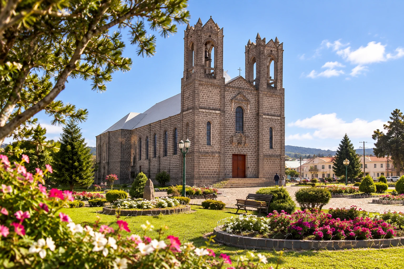
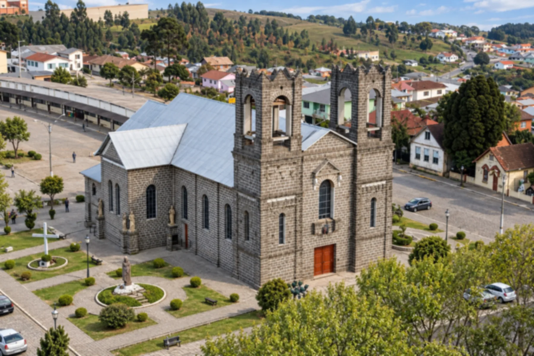
Begun in 1918 by Father João Casale and completed in 1957, it was built of pedra-ferro (ironstone basalt) taken from nearby hills and hauled by oxcart. The crown-shaped towers honor Mary, and inside there is a panel depicting Paradise.
Discover Igreja Matriz de São Joaquim
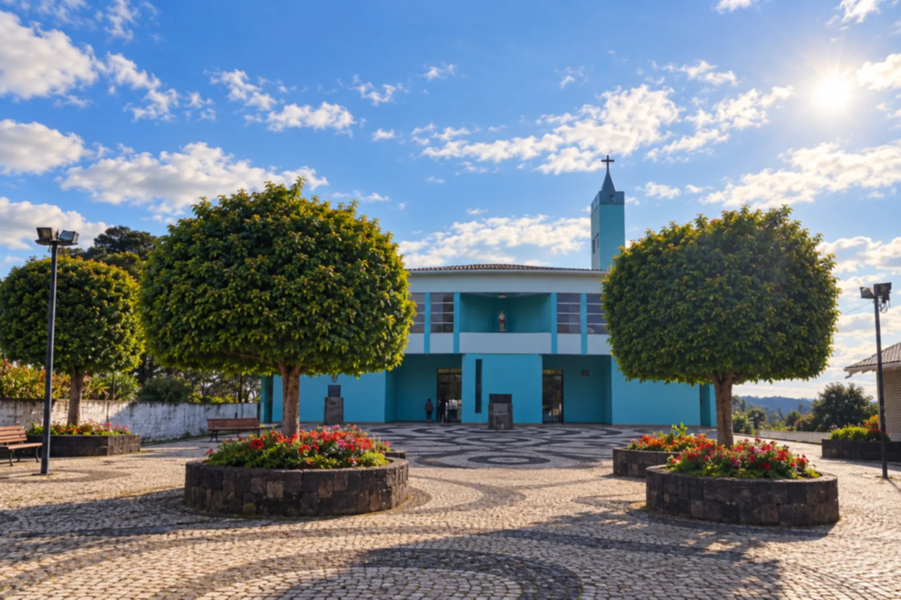
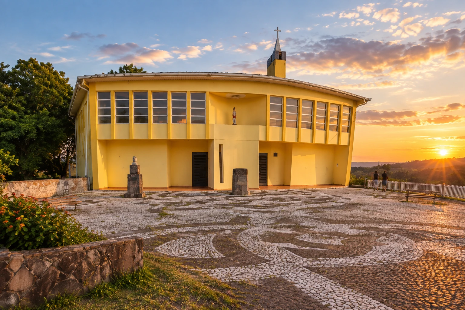
The main church, dedicated to São Sebastião (Saint Sebastian), in downtown Painel, on the town's main avenue. Its blue-painted facade stands out in the town's small center, surrounded by high-altitude grasslands.
Discover Igreja Matriz de São Sebastião
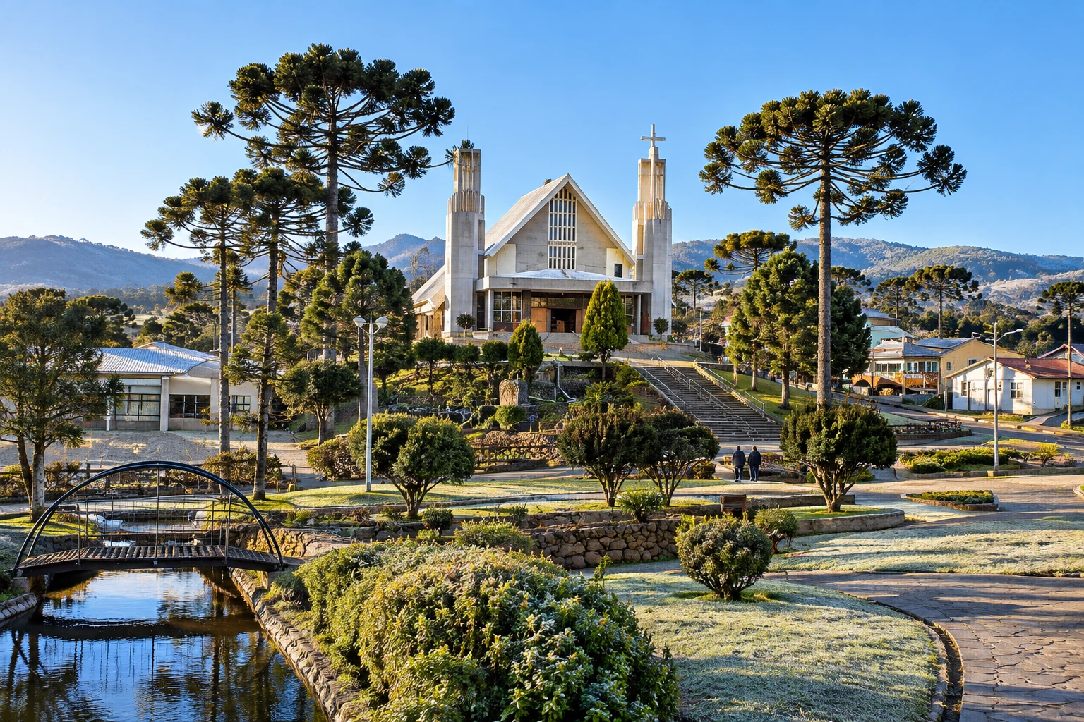
Dedicated to the patron saint Santa Ana (Saint Anne), it stands downtown, facing the town square, at 1,335 meters of altitude. The complex is the heart of community life and also includes a small waterfall, a grotto and a pond that can freeze on the coldest days.
Discover Igreja Matriz Santa Ana
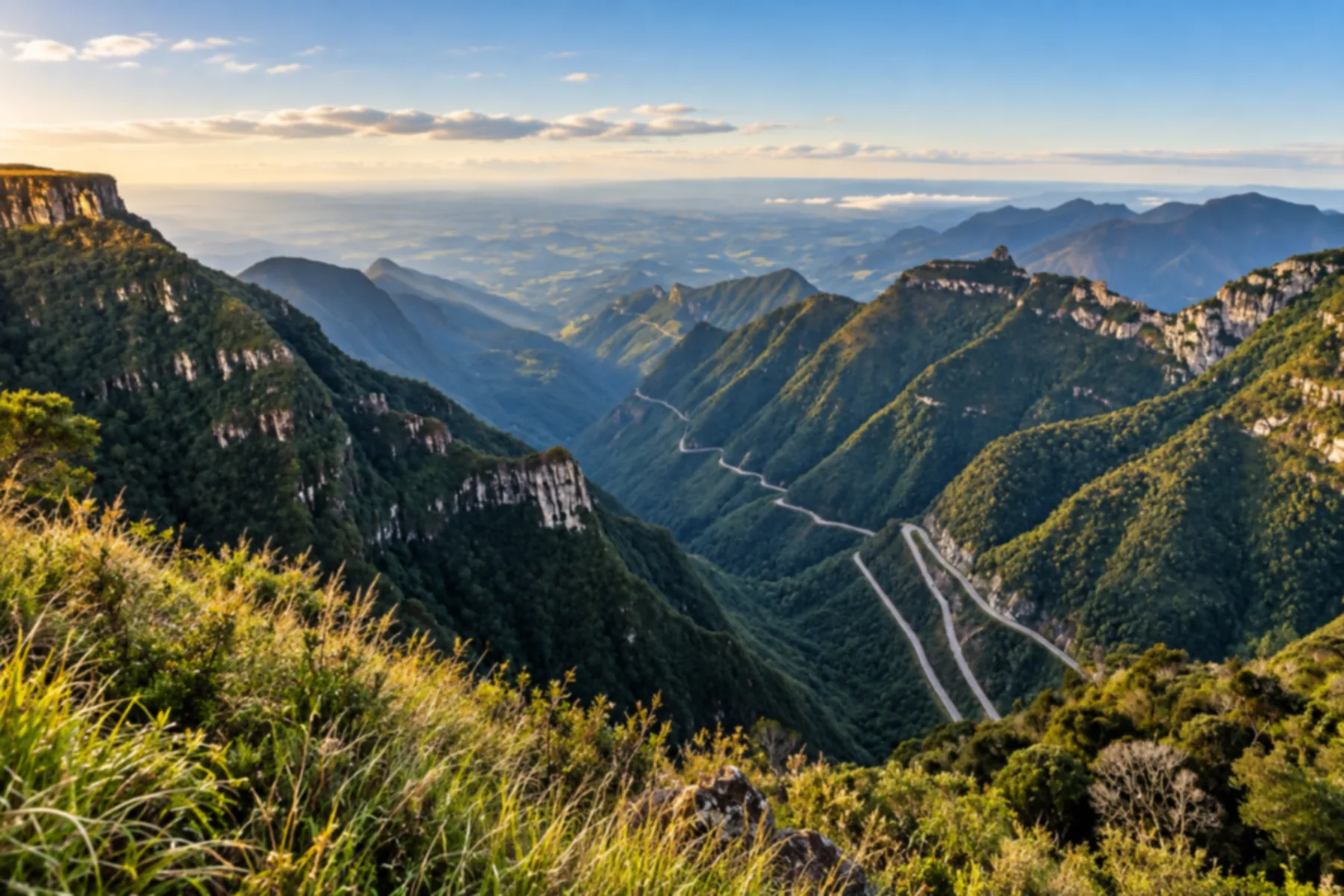
A road of hairpin bends that climbs the escarpment to more than 1,400 meters of altitude, one of the most scenic in Brazil. The viewpoint at the top gives you the full view of the switchbacks carved into the mountain.
Discover Serra do Rio do Rastro
On the route between the Serra do Rio do Rastro and Urubici, it forms a natural pool of clear, cold water. Admission is free, and a stairway leads down to the falls.
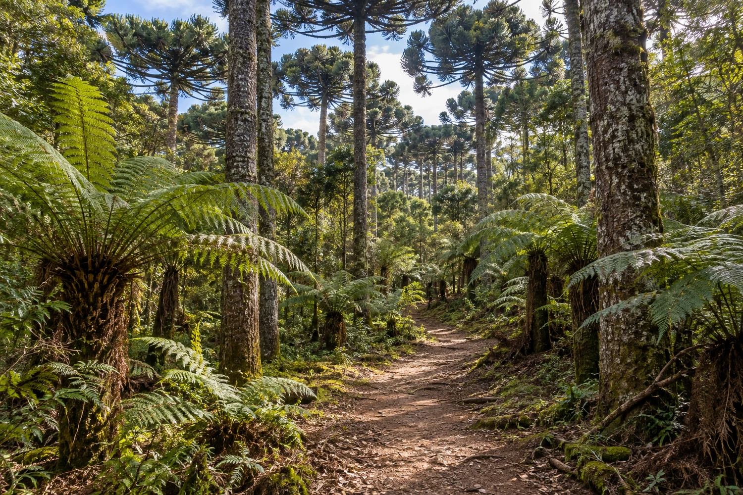
It protects 234 hectares of Atlantic Forest with araucaria pines, where 168 bird species have been recorded. Revitalized with restored trails, it was the first place in the town recognized as a Sala Verde (Green Room) by Brazil's Ministry of the Environment.
Discover Parque Natural Municipal João José Theodoro da Costa Neto
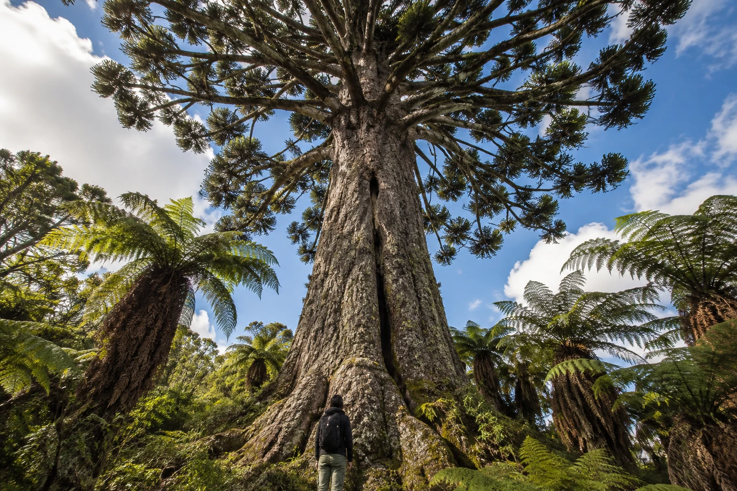
An araucaria pine estimated to be between 600 and 900 years old, 39.2 meters tall, 10.21 meters around, with a large split at the base. It is on private property near the district of Pericó, reached by a trail among century-old tree ferns.
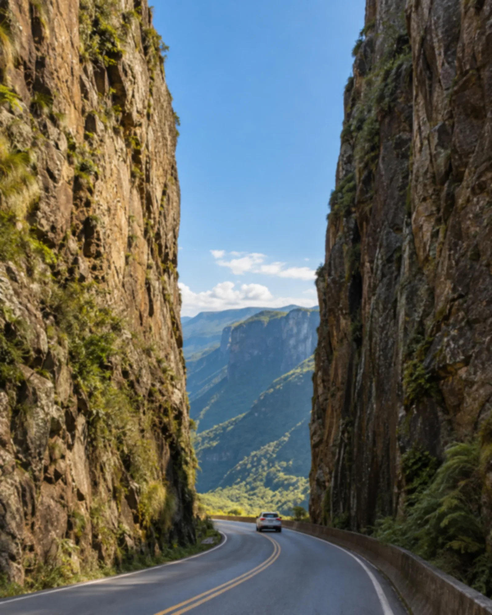
A pass carved into the rock, with a cut about 90 meters high, linking Urubici to the southern coast. Glass platforms installed up top leave you suspended over the valley.
Discover Serra do Corvo Branco
A canyon in the Campo dos Padres area, above 1,500 meters, with steep cliffs and several waterfalls along the way. It draws people who enjoy hiking and horseback riding.
At 62 meters high, the falls slide over basalt formations at the foot of Morro da Igreja, in an eco-park that also includes the Namorados and Três Irmãs waterfalls. The main one is about 150 meters away on an easy walk, with wooden decks along the way.
An urban viewpoint on a hilltop, reached by a long stairway from downtown. From the top, the panoramic view takes in the town and the araucaria pines typical of the mountain landscape.
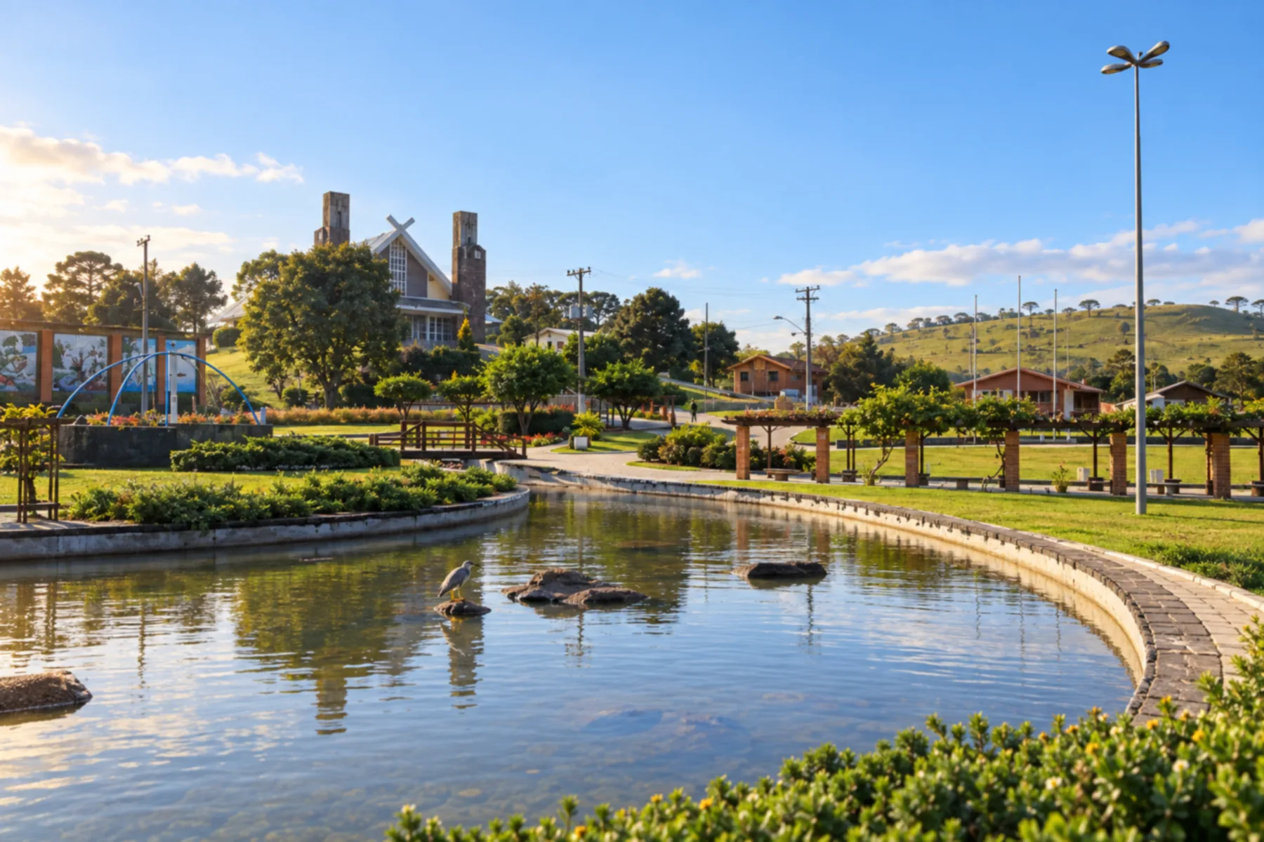
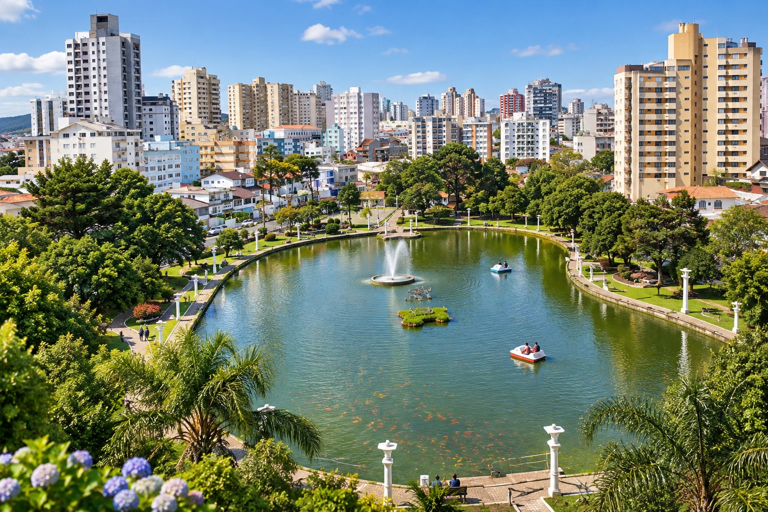
Built in 1771 by the town's founder, Correia Pinto, it is downtown, on Rua Zeca Neves. It has a pond with red carp, the bronze Monumento às Lavadeiras (Washerwomen's Monument), a walking track and a playground.
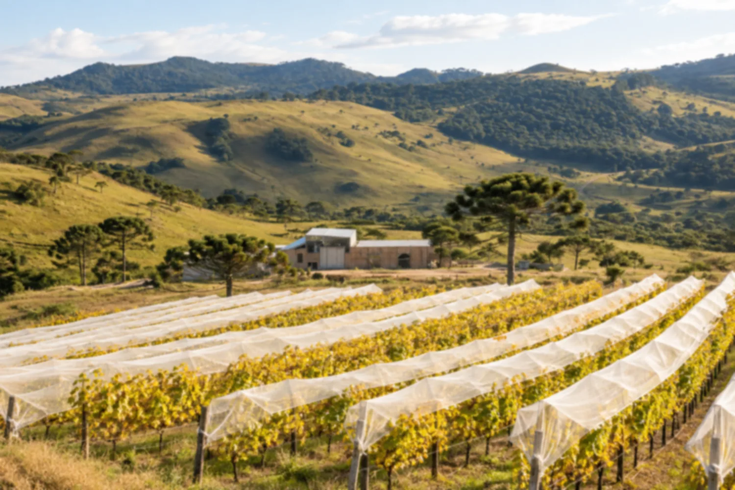
Vineyards planted above 1,200 meters produce some of the most awarded fine wines in Brazil. The wineries welcome visitors for tastings and vineyard tours.
Discover Vinícolas de altitude de São Joaquim
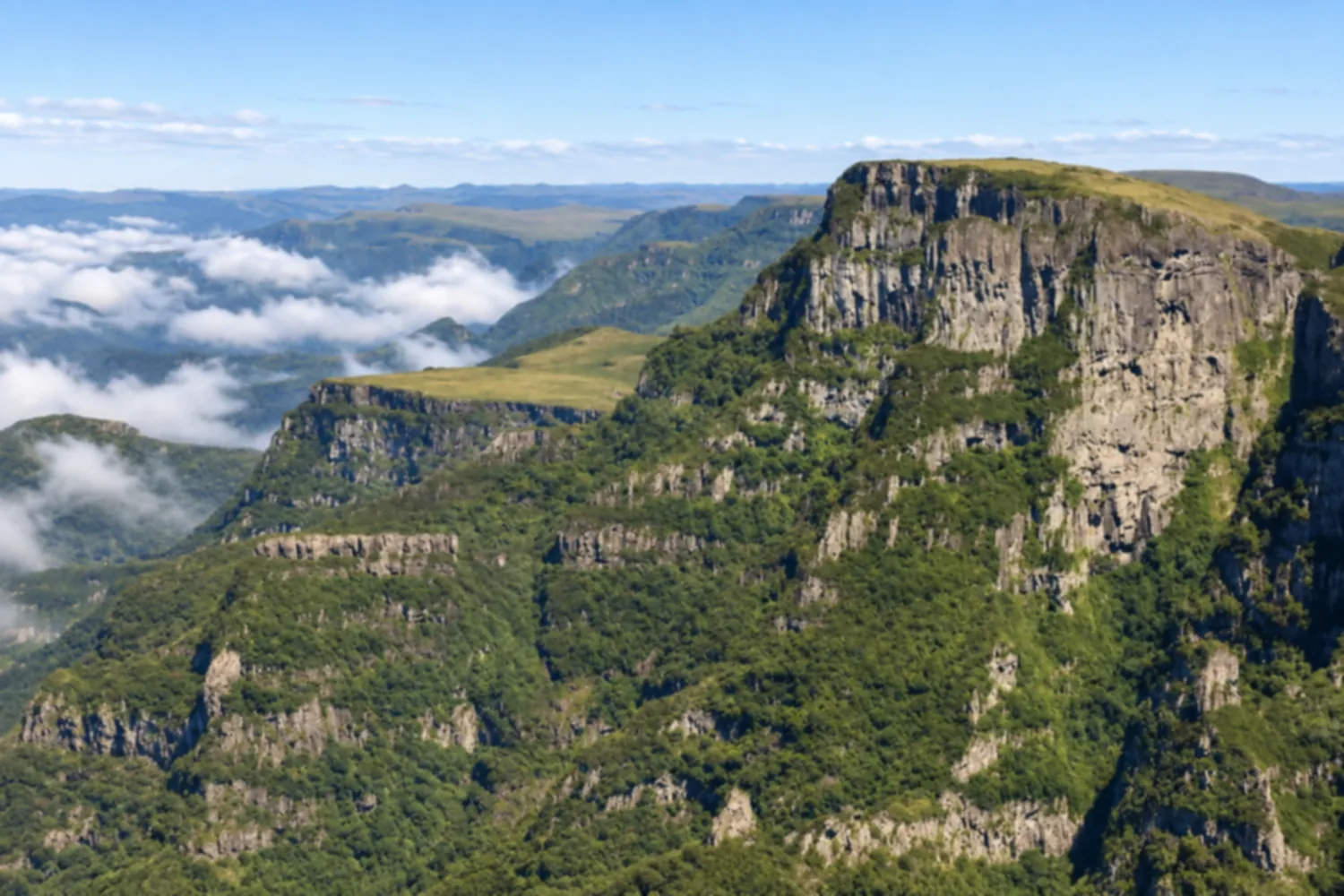
A protected area that preserves high-altitude grasslands, araucaria forests and stretches of canyons in the coldest part of Brazil. It has trails and some of the highest viewpoints in southern Brazil.
Discover Parque Nacional de São Joaquim
Flavors of the destination
A café and gastrobar on Rua Artur Pagani, with Brazilian food, trout and wines made in Urupema and São Joaquim. Good for visitors looking for coffee, a meal or a glass of mountain wine.
A trout restaurant open for more than ten years, linked to a trout farm, serving the fish in sauces, ceviches and other dishes. Good if you want to try mountain trout paired with selected wines.
A churrascaria (Brazilian steakhouse) beside the SC-390 with an all-you-can-eat buffet of meats, salads and mountain dishes such as arroz de carreteiro (rice with beef), entrevero (meat and pinhão stew) and dishes with pinhão (araucaria pine nuts). It overlooks Cascata da Barrinha and serves lunch to travelers on the highway.
An osteria run by brothers Victor and Vinícius Branco that combines Italian recipes with mountain ingredients such as pinhão (araucaria pine nuts), trout, queijo serrano (mountain cheese) and porcini. Good if you want house-made pasta paired with Santa Catarina high-altitude wines.
A roadside country store in Bom Jardim da Serra, with artisanal products and regional mountain dishes such as smoked trout and queijo serrano (mountain cheese). It is a stop for travelers going up or down the mountain who want to try local food.
A restaurant specializing in cheese, meat and chocolate fondue, with versions made with pinhão (araucaria pine nuts), on Rua José Palma. The dining room has a fireplace and suits anyone looking for a classic mountain-winter dinner.
A restaurant beside the BR-282 with a buffet, set lunches and its own bakery. Good for travelers on the highway or visiting Bom Retiro who want coffee, lunch or dinner on the way to the mountains.
A bistro with a wine list next to the pousada (inn) of the same name, on the BJ-020 road in Bom Jardim da Serra, serving signature dishes made with regional ingredients such as trout. It has a fireplace and an outdoor area and is an option for a more special meal.
A restaurant in downtown Urubici that combines regional mountain cooking and international dishes, with trout, lamb, meats and risottos. It has a fireplace and a garden and suits anyone who wants to pair their meal with the region's high-altitude wines.
Before you go
A little planning leaves more time to enjoy the journey.
Hercílio Luz Airport, in Florianópolis, about 170 km from Urubici via the BR-282 and SC-370 highways.
June to August for frost and a chance of snow; April and May for fall colors in the vineyards.
Take your trash with you, follow the signs and support local businesses. In natural areas, follow the visiting guidelines.