
viewpoint · Urupema, SC
Morro das Torres
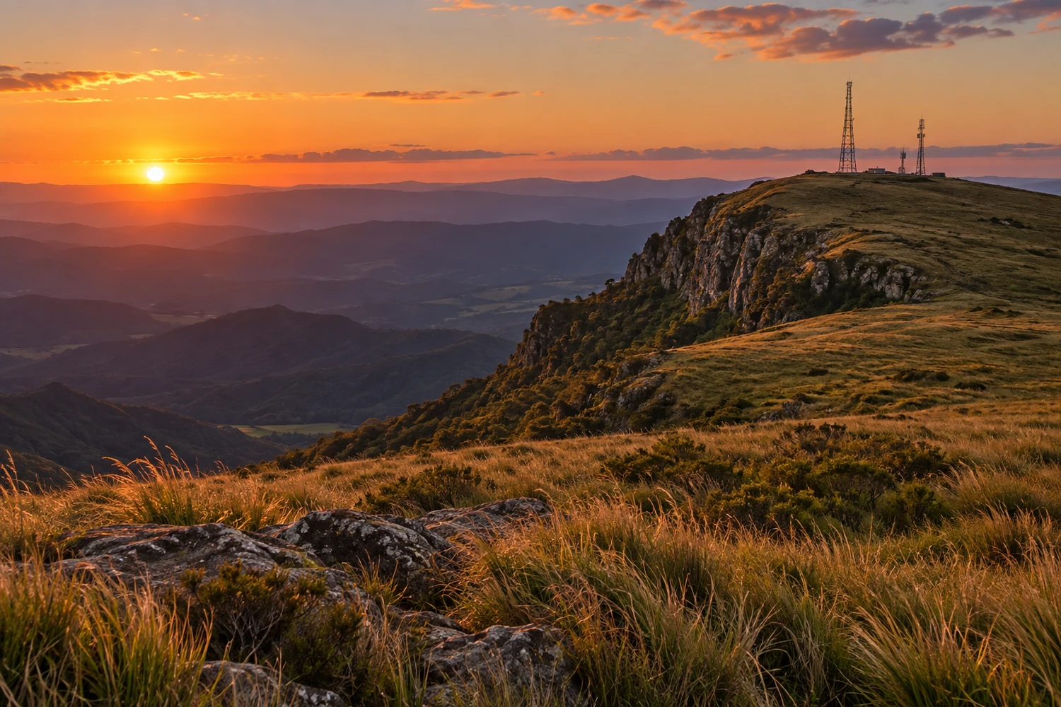
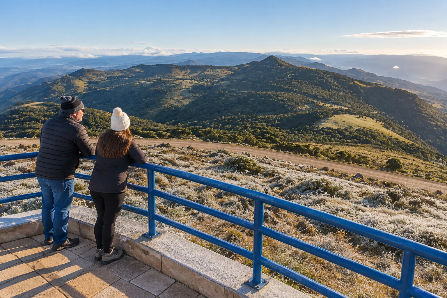
At about 1,750 meters of altitude, with communication towers at the top, it is 7 km from downtown, on the border with Rio Rufino. It is known for its frozen landscapes, with heavy frost and occasional snow on the coldest days.
Illustrative images. The pictures in this guide are illustrations based on the real place, not photographs, and may differ from it.
Discover
About Morro das Torres
Morro das Torres (hill) is the highest point in Urupema and one of the highest in Santa Catarina, at more than 1,700 meters of altitude. The name comes from the antennas and transmission towers at the top, which also earn it the nickname Morro das Antenas. It is the landmark of the town known as Brazil's National Capital of Cold.
On clear days, the viewpoint at the top opens onto a 360-degree view over the high-altitude grasslands, the araucaria pines and the small town below. At dawn, the horizon often takes on reddish tones.
Its fame comes from winter. This is where Urupema records its lowest temperatures, with heavy frost, occasional snow and sincelo (rime ice), when fog freezes on the vegetation and coats branches, fences and grass in ice crystals. The hill is considered one of the best spots in the country to see it.
The access is signposted and the last stretch is a dirt road. In settled weather, the drive up is easy. The wind and cold up top are much stronger than downtown, so dress warmly.
Before you go
Practical information
How much time to set aside
Between 30 minutes and 1 hour, counting the drive up and the stop at the viewpoint.
Best time
In winter, June to August, right at dawn on days of intense cold, when there is the best chance of frost and rime ice; on clear days in any season the view is wider.
How to get there
It is a few kilometers from downtown Urupema, in the Serra Catarinense. Follow the signs to the hill; the last stretch is a dirt road, which calls for care in rain, ice or snow.
Tip
Go up very early on mornings of extreme cold and bring gloves, a hat and a windbreaker: the wind chill at the top is much lower than in town. On days with rain or ice on the road, use a high-clearance car and drive slowly.
A look at the place
Morro das Torres in pictures
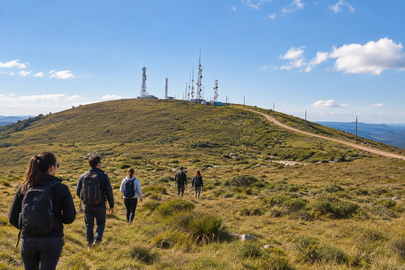
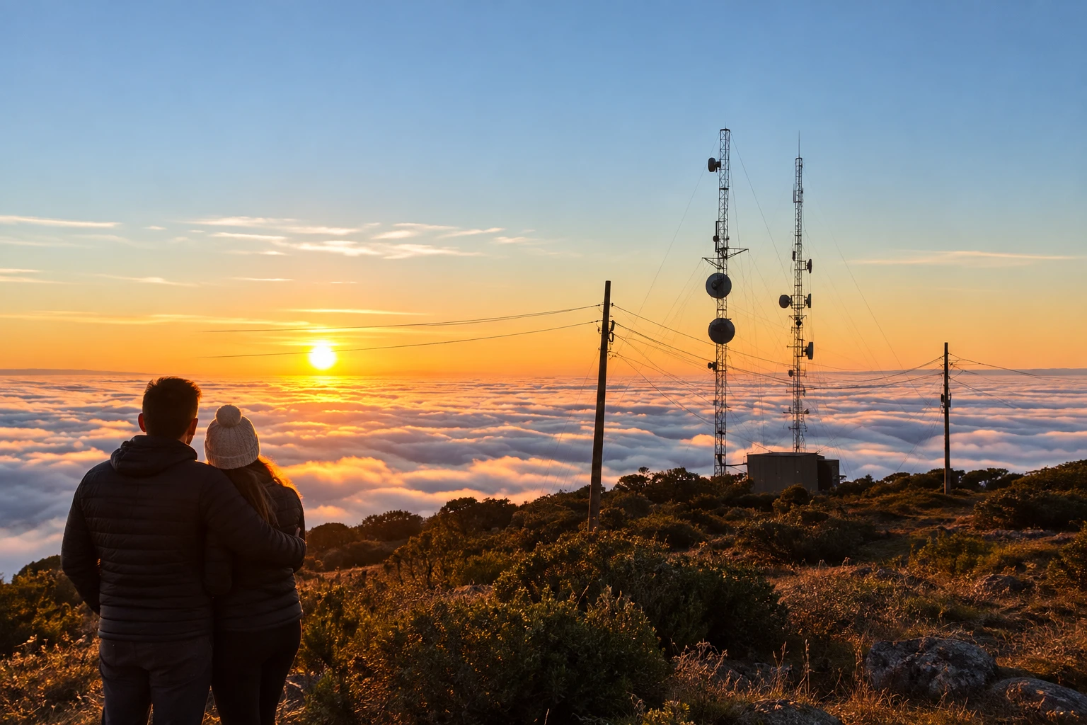
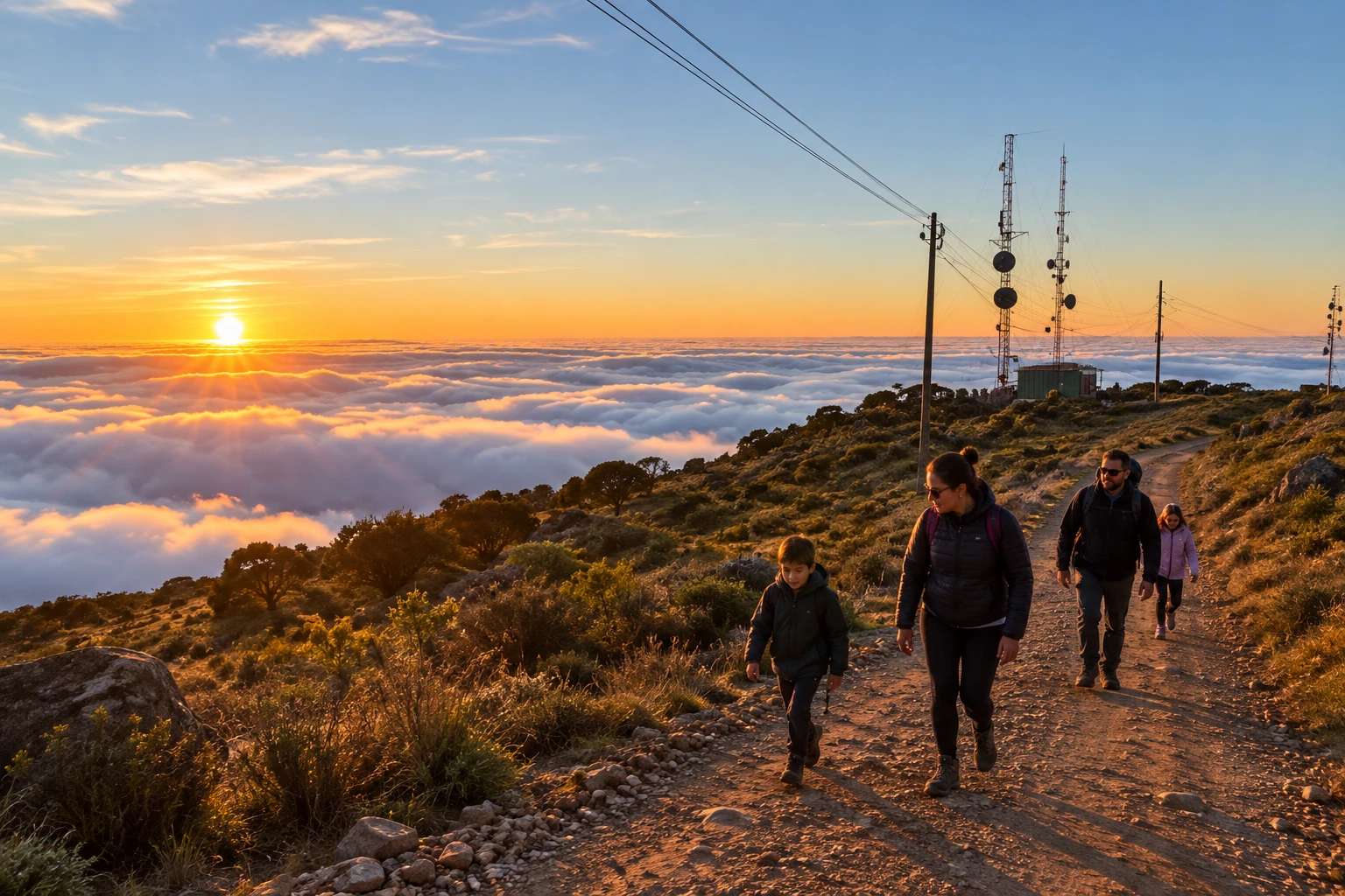
These pictures are illustrations based on the real place, not photographs. They may differ from the place.
Click the picture to enlarge it.
Get your questions answered
Frequently asked questions about Morro das Torres
How high is Morro das Torres?
More than 1,700 meters. It is the highest point in Urupema and one of the highest in Santa Catarina.
Can you drive up?
Yes. The access is signposted and the last stretch is a dirt road; in rain, ice or snow, drive carefully.
Does it snow on Morro das Torres?
Sometimes. Snow is occasional, but heavy frost and rime ice are common on the coldest winter days.
What is the best time to go?
Right at dawn, on mornings of intense cold, when the landscape is frozen. On clear days, the view is worth it at any time.
Why is it called Morro das Torres?
Because of the transmission towers (torres) and antennas at the top. That is also why it is called Morro das Antenas.