
scenic route · Bom Jardim da Serra, SC
Serra do Rio do Rastro
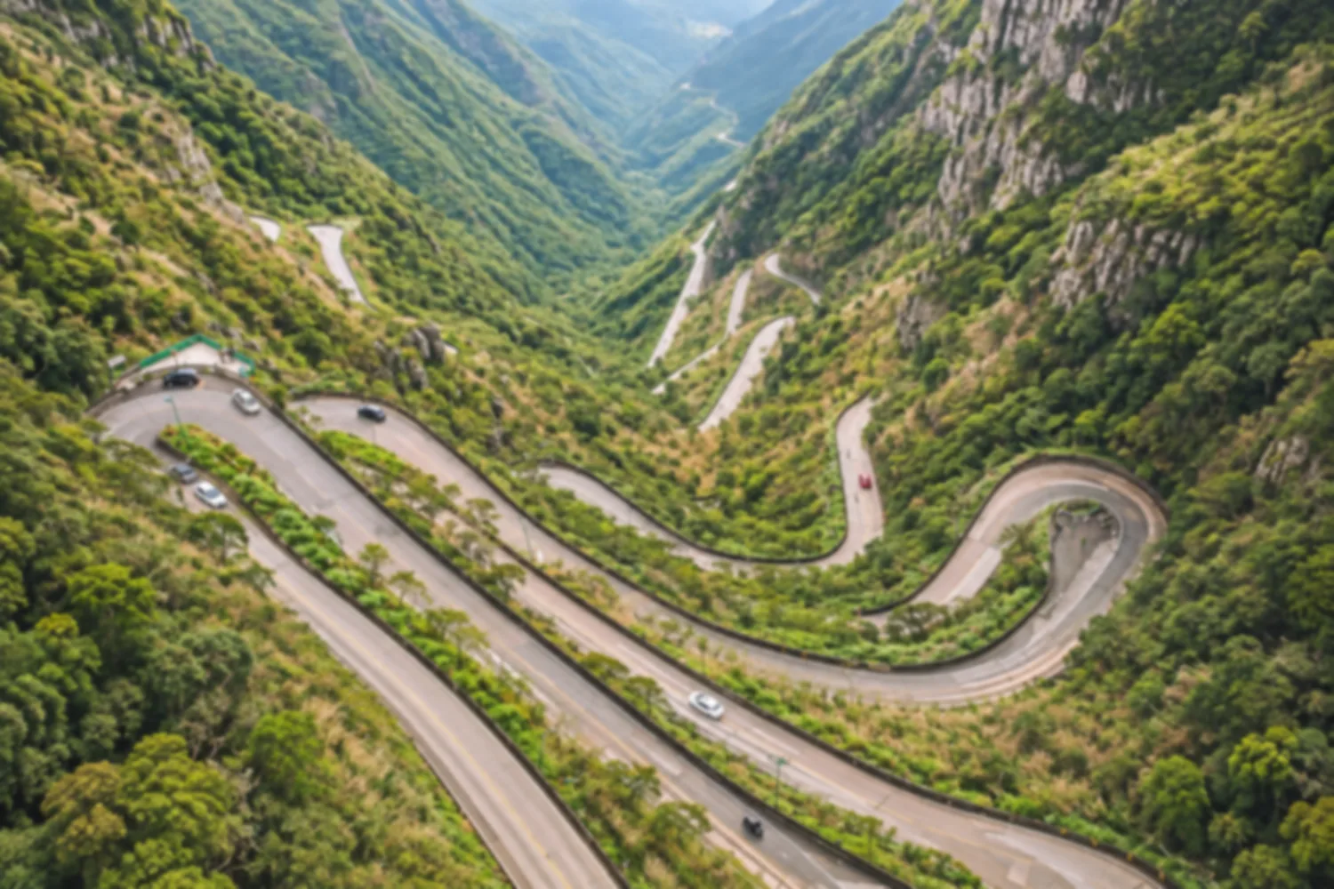
A road of hairpin bends that climbs the escarpment to more than 1,400 meters of altitude, one of the most scenic in Brazil. The viewpoint at the top gives you the full view of the switchbacks carved into the mountain.
Illustrative images. The pictures in this guide are illustrations based on the real place, not photographs, and may differ from it.
Discover
About Serra do Rio do Rastro
The Serra do Rio do Rastro is the mountain stretch of the SC-390 highway that links Bom Jardim da Serra, high on the Santa Catarina plateau, to Lauro Müller, in the south of the state. The road conquers the escarpment in hairpin bends stacked one above the other, and it is one of the best-known landmarks of Santa Catarina.
The route began as a trail for tropeiros (drovers), who carried goods between the mountains and the coast on muleback. Work on the road began in the late 1920s, it opened to traffic as a dirt road in the 1950s and was paved in the 1980s. Much of the switchback section is paved in concrete, chosen because it gives more grip in the cold.
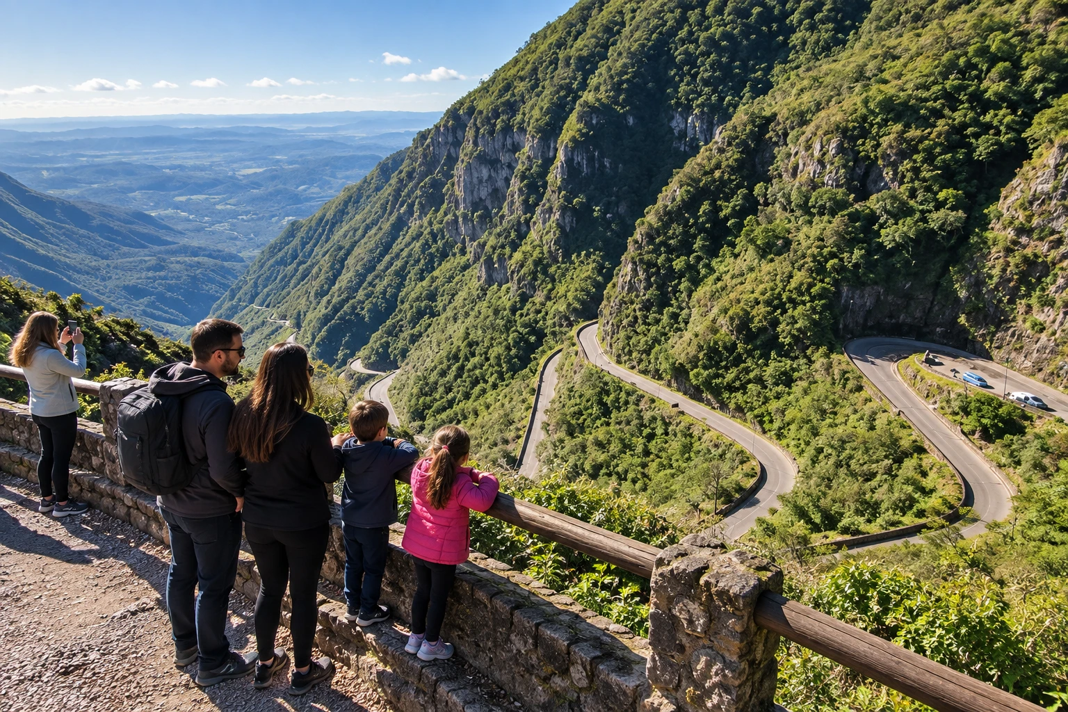
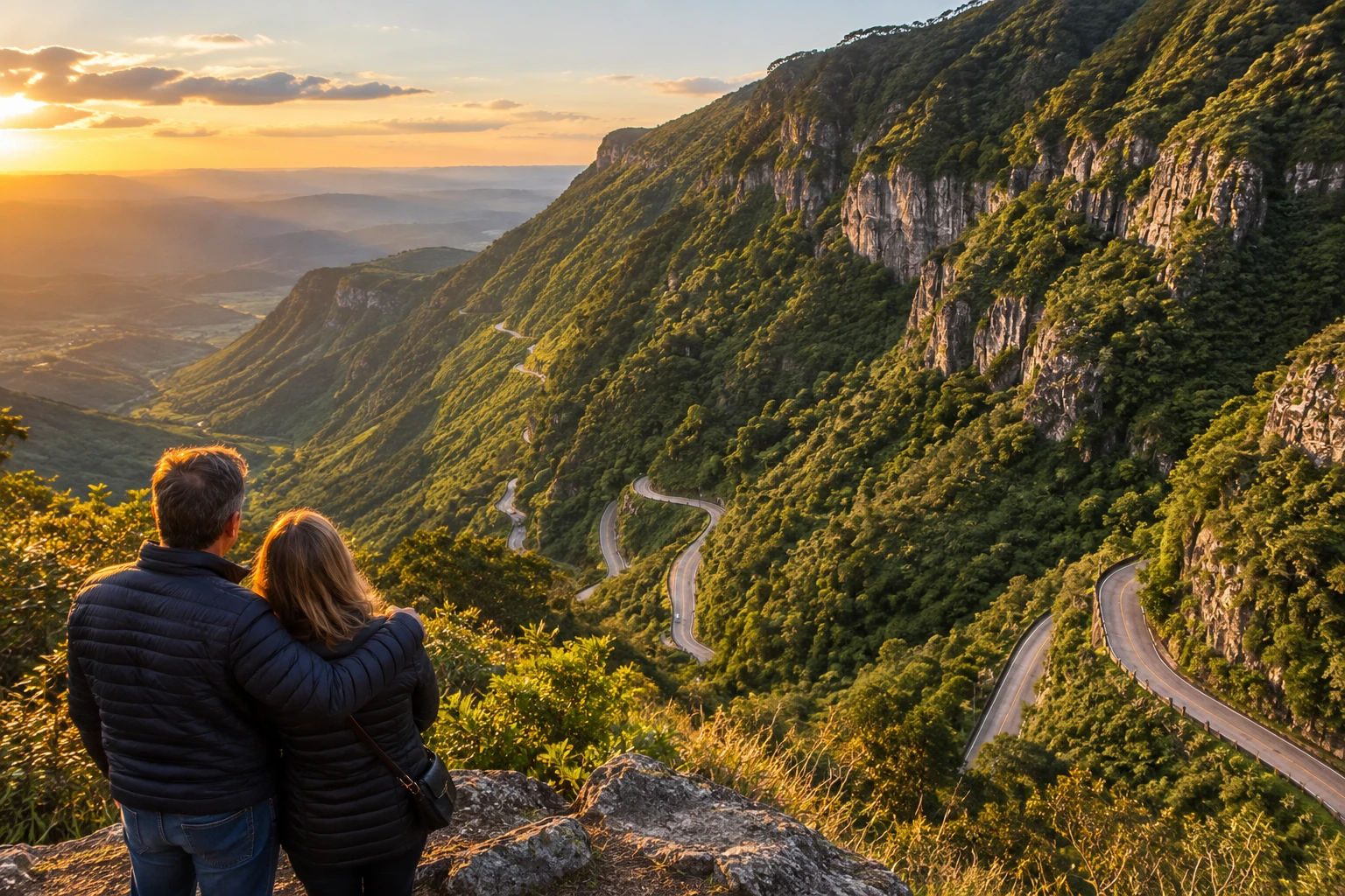
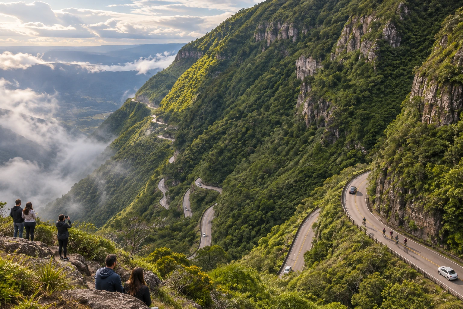
At the top, more than 1,400 meters above sea level, is the Mirante da Serra do Rio do Rastro (viewpoint), with parking, restrooms and shops. From there you look down on the pattern of curves descending the slope covered in Atlantic Forest and, on clear days, the plain stretching to the coast. Many people just stop at the viewpoint; others drive, ride or cycle down or up the mountain.
The winding section is narrow with almost no shoulder, and trucks and buses sometimes have to use the other lane on the curves. If you are driving, take it slow, use low gear on the way down and stay extra alert. The viewpoint itself is easy to reach, with no trail.
Before you go
Practical information
How much time to set aside
Allow half an hour to an hour for the viewpoint and about another hour if you drive down and up the switchbacks with stops.
Best time
From late morning to early afternoon, when the fog is usually lower and the view of the curves is clearest; winter tends to bring clearer skies, but it is very cold and there may be frost and even snow.
How to get there
It is on the SC-390, between Bom Jardim da Serra and Lauro Müller, in southern Santa Catarina. The viewpoint is at the top, on the Bom Jardim da Serra side; coming from the coast you climb the mountain from Lauro Müller, and coming from the plateau you arrive through Bom Jardim da Serra. You can drive it up or down by car, motorcycle, tour bus or bicycle.
Tip
Before going up, check the forecast and local webcams or news: in thick fog the view disappears within minutes. On the way down, use engine braking instead of riding the brakes.
A look at the place
Serra do Rio do Rastro in pictures
These pictures are illustrations based on the real place, not photographs. They may differ from the place.
Click the picture to enlarge it.
Get your questions answered
Frequently asked questions about Serra do Rio do Rastro
Where is the Serra do Rio do Rastro?
On the SC-390 highway, between Bom Jardim da Serra, at the top, and Lauro Müller, at the bottom, in southern Santa Catarina. The viewpoint is at the top, on the Bom Jardim da Serra side.
What is the best time of day to see the mountain road?
From late morning to early afternoon, when the fog usually lifts. On days of thick fog the view disappears completely.
Is it dangerous to drive the Serra do Rio do Rastro?
It calls for care: the road is narrow, with almost no shoulder and full of hairpin bends. Go down in low gear, use engine braking and be extra careful in fog.
Can I see the road without driving down the mountain?
Yes. The viewpoint at the top shows the curves from above and has parking, restrooms and shops. Many people only go there.
Does it snow on the Serra do Rio do Rastro?
It can snow in winter, but it is rare and unpredictable. Frost and intense cold are more common at that time of year.