
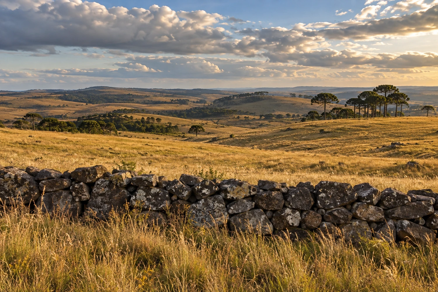
rural area · Lages, SC
Coxilha Rica
A rural area of more than 1,100 km² that was a corridor for cattle drives between Rio Grande do Sul and São Paulo. Its grasslands with araucaria pines hold stone walls built more than 200 years ago by enslaved people, Indigenous people and farmhands, as well as century-old farms.
Illustrative images. The pictures in this guide are illustrations based on the real place, not photographs, and may differ from it.
Discover
About Coxilha Rica
Coxilha Rica is a large rural area of Lages, high on the plateau of the Serra Catarinense, extending into neighboring Capão Alto. It covers more than 1,100 km² of rolling grasslands, the coxilhas (rolling hills) that give the place its name, with araucaria groves, rivers and cattle ranches.
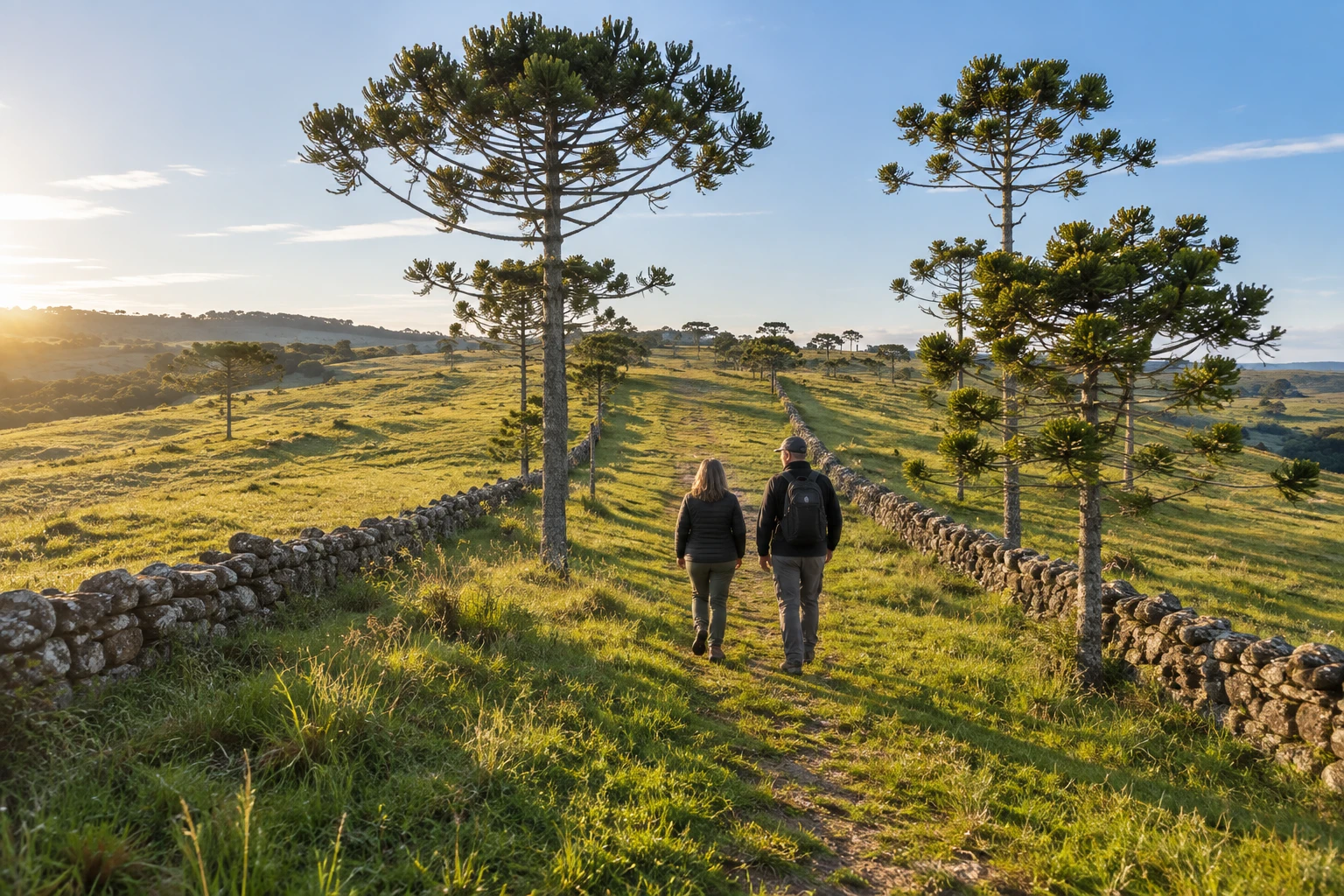
The Caminho das Tropas passed through here, the route that took cattle and mules from Rio Grande do Sul to São Paulo in colonial times. From that era remain the drovers' corridors, lined with taipas: walls of stacked stone built by enslaved people, Indigenous people and farmhands to guide and hold the animals. The area is a municipal heritage site, and the stone walls still line much of the roads.
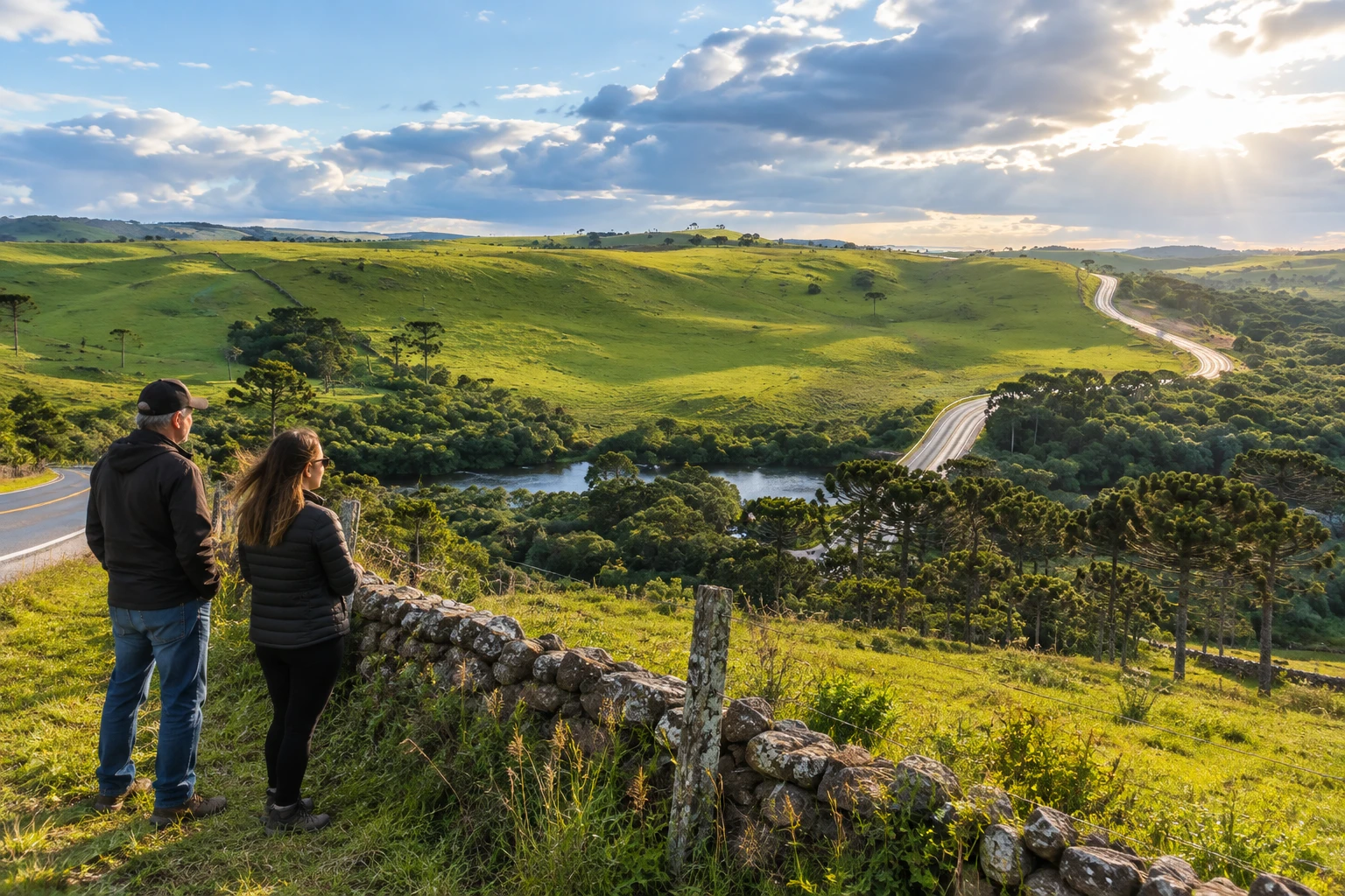
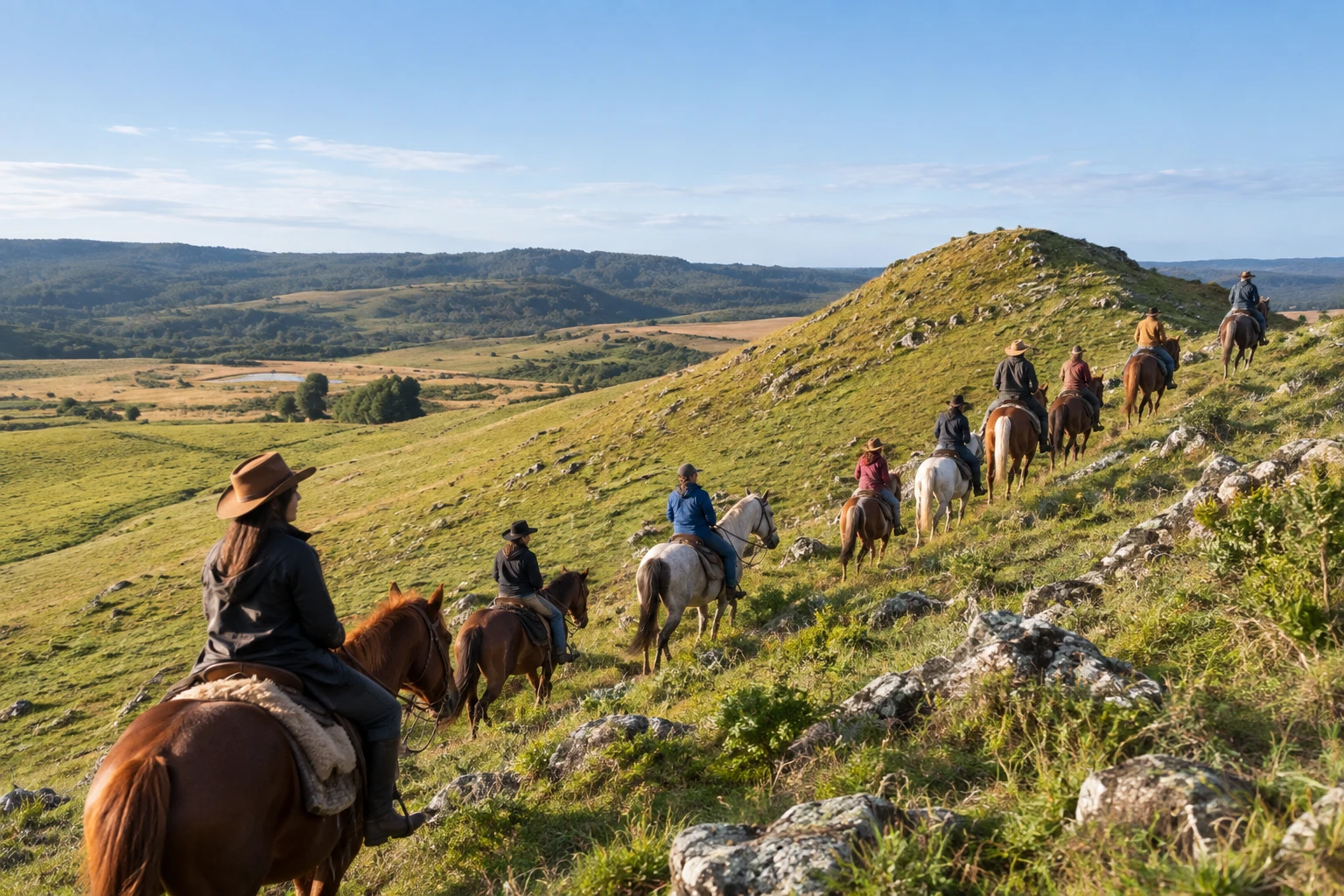
The charm of the visit is the open landscape and the pace of country life. You can drive the dirt roads between stone walls and araucaria pines, watch cattle grazing, go birdwatching and, on organized tours, ride horses along the old trails. The century-old farms are private property: you can only enter with a reservation or on an arranged tour.
It is an outing for people who like the open road, silence and rural history. There are no tourist facilities along the way, cell signal fails in much of the area and there are no gas stations. Leave Lages with a full tank and with water and snacks in the car.
Before you go
Practical information
How much time to set aside
A full day lets you drive the roads between the stone walls at a relaxed pace; if you want to ride horses or experience daily farm life, you usually spend the night.
Best time
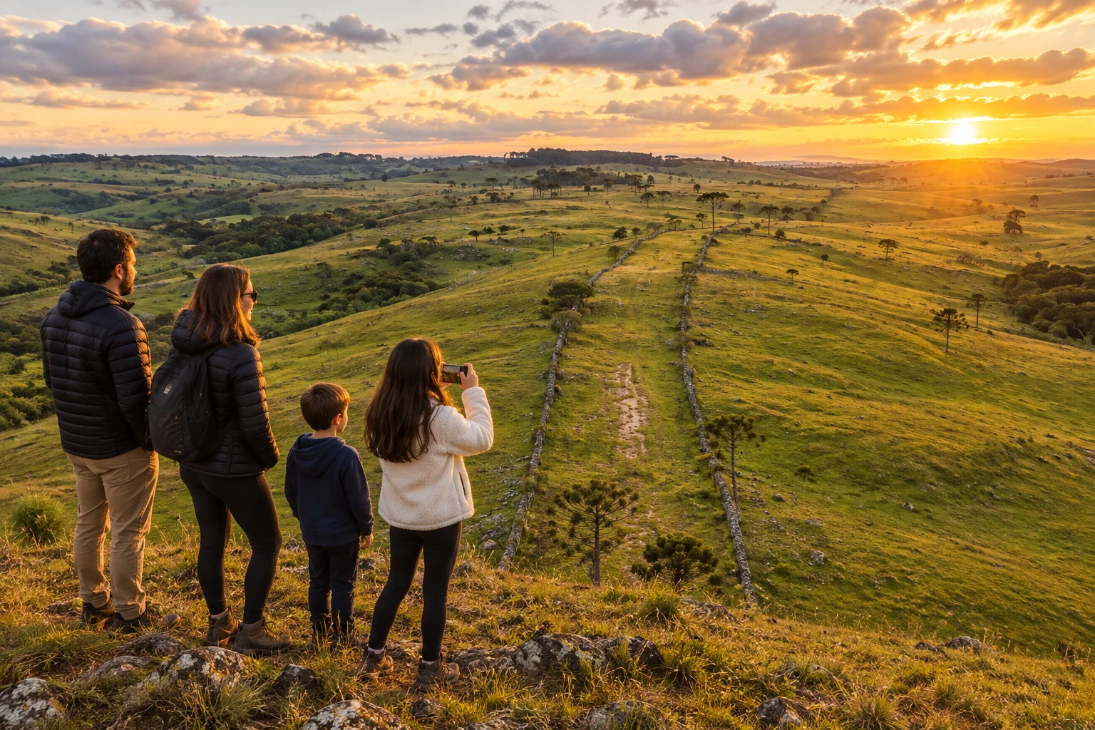
Spring and summer leave the grasslands green and the roads firmer; winter brings frost and intense cold in the mornings. In any season, late afternoon gives the most beautiful light over the rolling hills. Avoid days of heavy rain.
How to get there
The area is south of downtown Lages, reached via the BR-116 and then dirt roads. There is no public transportation for the tours: go by car (ideally a high-clearance or 4x4 vehicle, especially after rain) or book a guided tour in Lages.
Tip
Download the route to your phone, because the signal drops out along much of the way, and respect the gates and stone walls: they are private property and historic heritage.
A look at the place
Coxilha Rica in pictures
These pictures are illustrations based on the real place, not photographs. They may differ from the place.
Click the picture to enlarge it.
Get your questions answered
Frequently asked questions about Coxilha Rica
Where is Coxilha Rica?
In the countryside of Lages, in the Serra Catarinense, extending to Capão Alto. Access is via the BR-116 and then dirt roads.
Do I need a 4x4 to visit Coxilha Rica?
Not in dry weather, but most roads are dirt and a high-clearance car or 4x4 is recommended, especially after rain.
What are the stone walls of Coxilha Rica?
Walls of stacked stone that form the corridors cattle drives used between Rio Grande do Sul and São Paulo. They were built by enslaved people, Indigenous people and farmhands.
Is there a fee to visit Coxilha Rica?
Driving the area's roads is free. Horseback rides, guided tours and farm stays are paid and require a reservation.
Is there cell signal in Coxilha Rica?
Not in much of the area. Download the map beforehand and leave Lages with a full tank, because there are no gas stations along the way.