

 Antarctica
 Argentina
 Bolivia
 Chile
 Colombia
 Ecuador
 Guyana
 French Guiana
 Falkland Islands (Malvinas)
 Paraguay
 Peru
 Suriname
 Uruguay
 Venezuela
 Germany
 Austria
 Belgium
 Croatia
 Denmark
 Slovakia
 Slovenia
 Spain
 Finland
 France
 Greece
 the Netherlands
 Hungary
 Ireland
 Iceland
 Italy
 Luxembourg
 Norway
 Poland
 Portugal
 the United Kingdom
 the Czech Republic
 Sweden
 Switzerland
 Turkey
 Bermuda
 Canada
 the United States
 Greenland
 Mexico
 Saint Pierre and Miquelon
 the Dominican Republic
 Japan
 South Africa
 Egypt
 Australia
 Fiji
 New Zealand
 Papua New Guinea
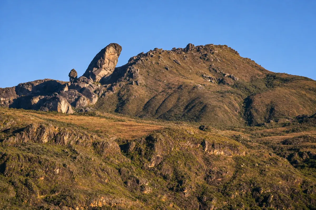
state park · Ouro Preto, MG
Itacolomi State Park
State park between Ouro Preto and Mariana, featuring Pico do Itacolomi at 1,772 meters, trails through grasslands and forest, and the old São José do Manso Farm, with the Casa Bandeirista and the Tea Museum.
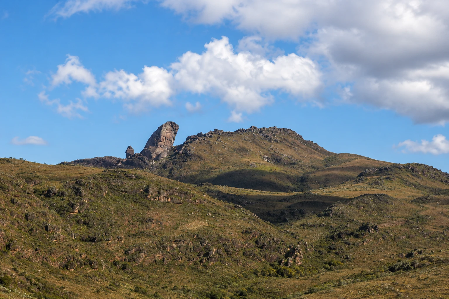
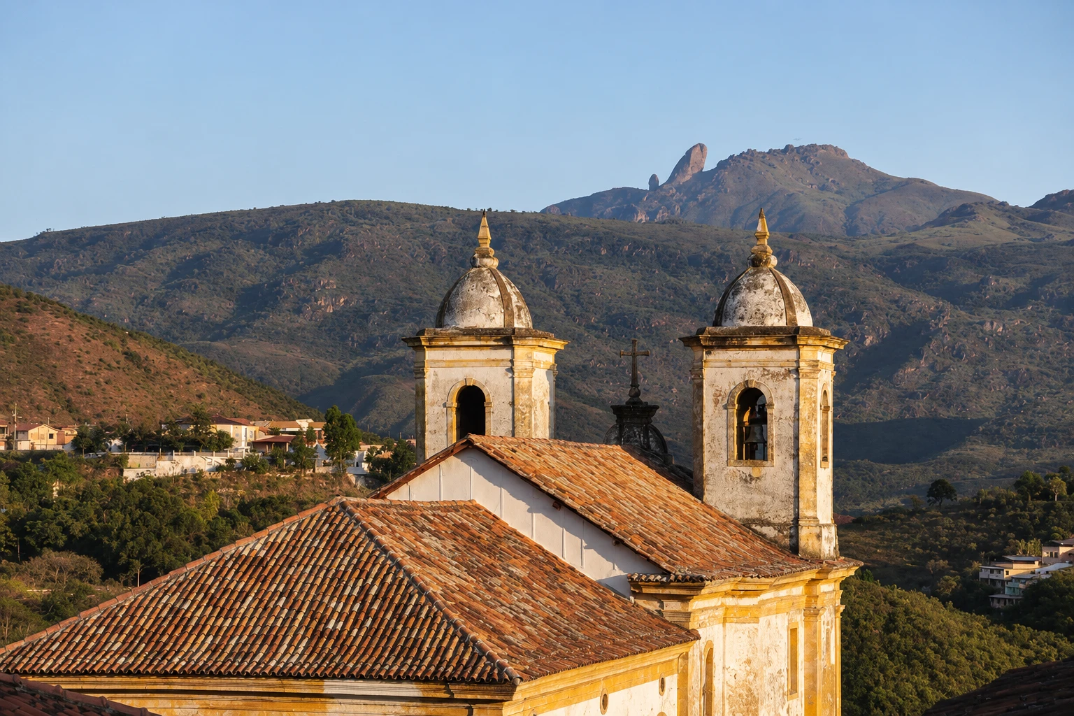
In the photo: Pico do Itacolomi, with the larger rock and the smaller beside it, above the campos rupestres.
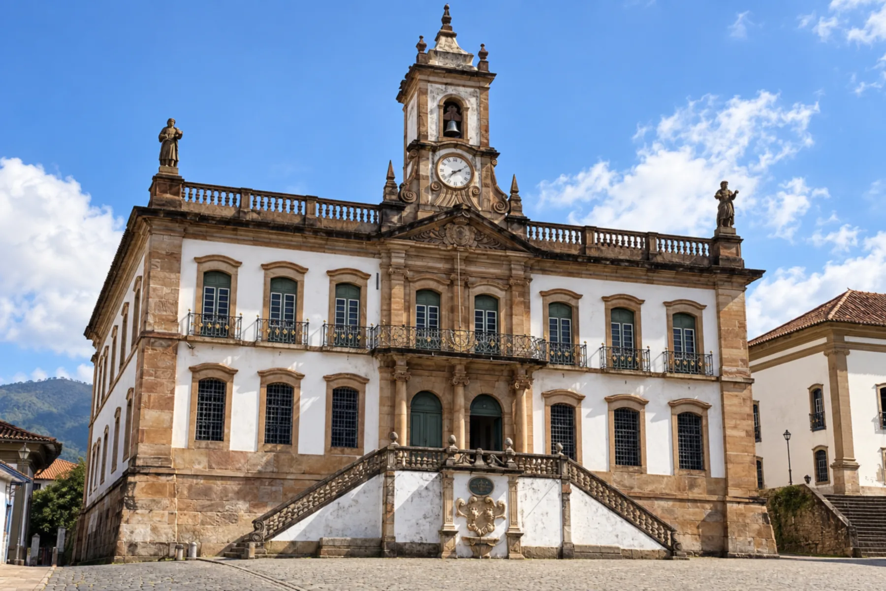
Illustrative images. The pictures in this guide are illustrations based on the real place, not photographs, and may differ from it.


A look at the place
Itacolomi State Park in pictures
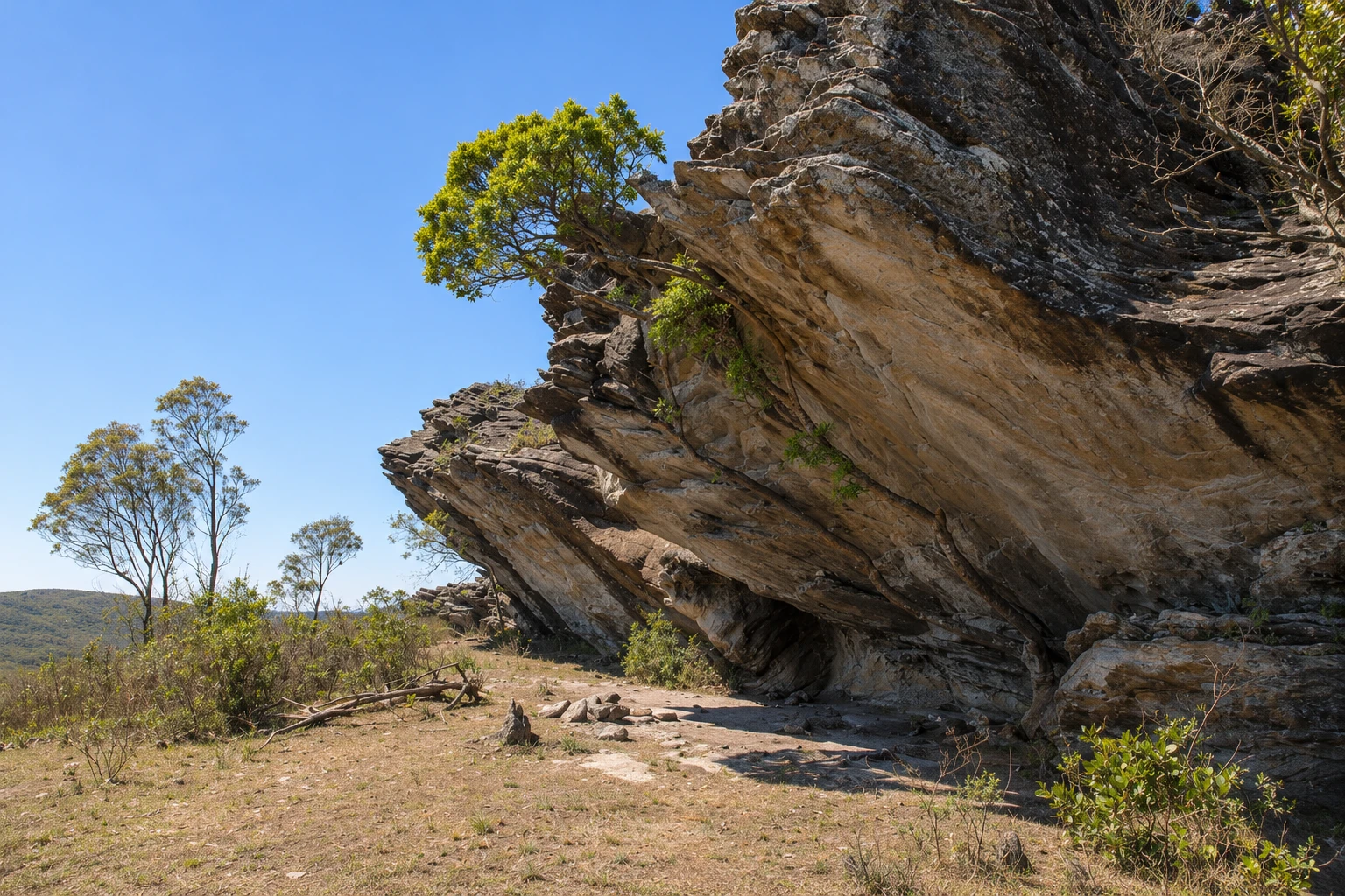
These pictures are illustrations based on the real place, not photographs. They may differ from the place.
Click the picture to enlarge it.
Discover
About Itacolomi State Park
Itacolomi State Park lies between Ouro Preto and Mariana, at the southern tip of the Serra do Espinhaço. Created in 1967, it is managed by the Instituto Estadual de Florestas (IEF). The name comes from Pico do Itacolomi, 1,772 meters high, whose silhouette — a large rock with a smaller one beside it — can be seen from a distance and, according to tradition, served as a landmark for travelers during the gold rush era.
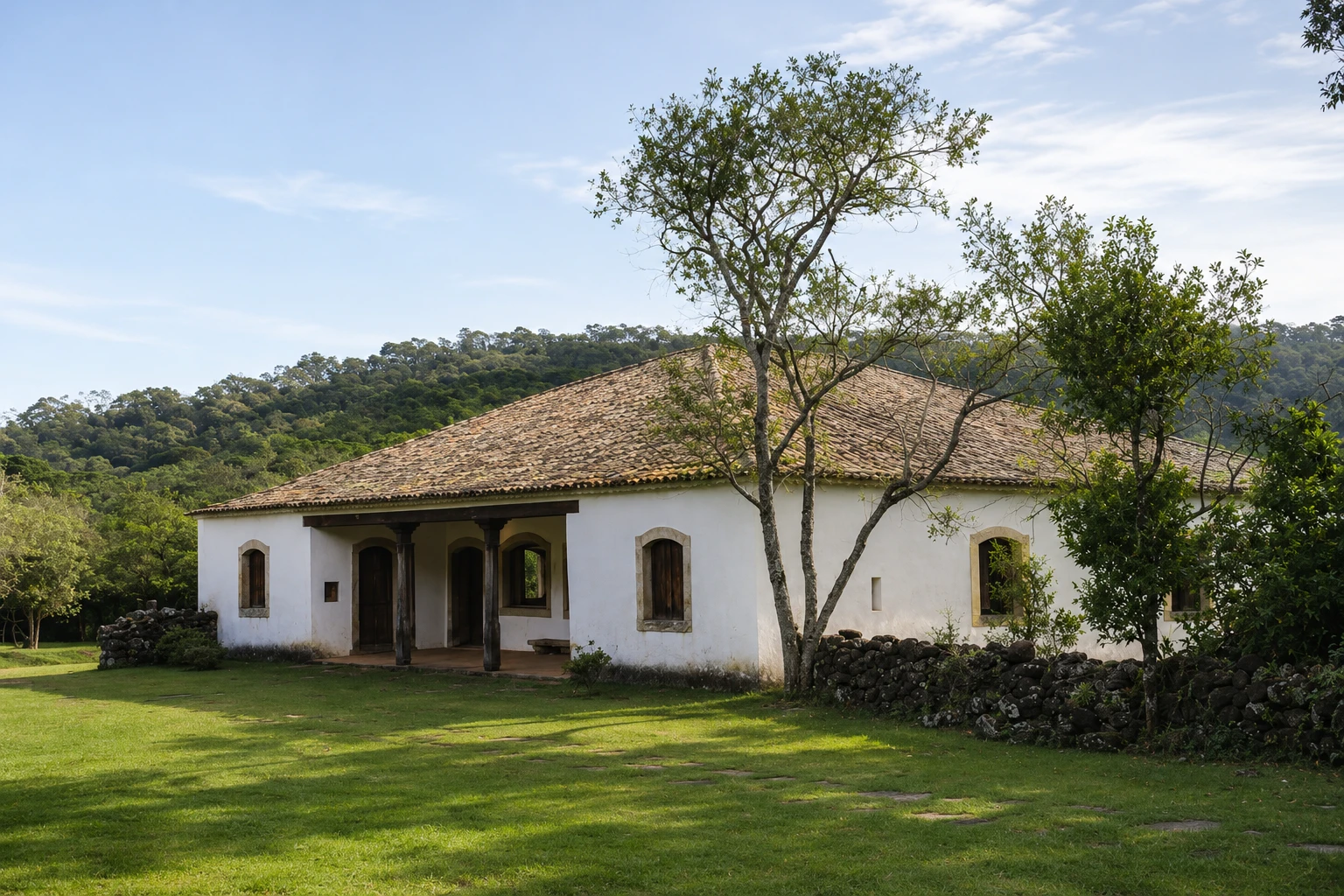
The park headquarters occupy the old São José do Manso Farm. The Casa Bandeirista, built in the early 18th century, is an example of colonial rural architecture and serves as the visitor center. In the old granary, the Tea Museum displays German machines used in the first half of the 20th century to process the tea grown on the farm.
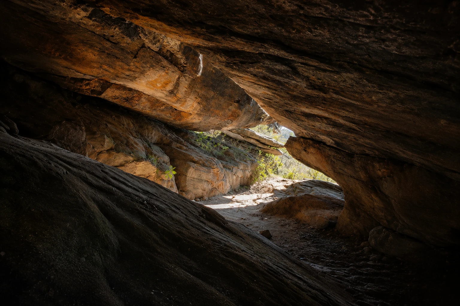
The trails cross campos rupestres (rocky highland grasslands) and forest. Notable routes include Manso, Calais, Sertão, Serrinha and the Pico trail, the longest, about 12 km round-trip to the top of Itacolomi. The ascent to the summit is usually done with a guide and must be scheduled with park administration.
The park protects one of the most well-preserved stretches of the range between the two historic towns, with high-altitude fields, quartzite outcrops and forested valleys. Shorter trails fit into a half day, while the Pico trail requires a full day.
The park is close to both historic centers, and many people combine nature visits with the churches and museums of Ouro Preto and Mariana. Before going, check opening days, which trails are open and the visitor rules.
Before you go
Practical information
Cidade Turismo reviews its information regularly, but something may have changed. Check with the place before planning your trip.
How much time to set aside
Half a day for the headquarters, the Casa Bandeirista, the Tea Museum and a short trail; a full day for the ascent to Pico do Itacolomi.
Best time
April to September, when it usually rains less and the summit view tends to be clearer; June to August mornings are cold. Start early. November to March has more rain and fog, which can obscure the view.
How to get there
The park entrance is on the highway that connects Ouro Preto and Mariana, a few kilometers from Ouro Preto’s center. From the entrance, an internal road leads to the headquarters at the old Manso Farm. Pico do Itacolomi is about 6 km in a straight line from Praça Tiradentes.
Tip
To climb the summit, schedule in advance with park administration and bring water, snacks, warm clothing and a raincoat. If you have limited time, stay at the headquarters, visit the Casa Bandeirista and the Tea Museum and do a short trail.
Get your questions answered
Frequently asked questions about Itacolomi State Park
Where is Itacolomi State Park located?
Between Ouro Preto and Mariana (MG), with the park entrance on the highway linking the two towns, a few kilometers from Ouro Preto’s center.
How high is Pico do Itacolomi?
Pico do Itacolomi is 1,772 meters high. The trail to the summit is about 12 km round-trip and is usually scheduled with park administration.
What is the Casa Bandeirista at Itacolomi Park?
It is the headquarters of the former São José do Manso Farm, built in the early 18th century — an example of colonial rural architecture that functions as the visitor center.
What is in the Tea Museum?
German machines used in the first half of the 20th century to process the tea grown at São José do Manso Farm, displayed in the old granary.
What trails are in Itacolomi State Park?
Among others, the Manso, Calais, Sertão, Serrinha and Pico trails, the latter being the longest. Check in advance which are open.
Beyond the guide


