
viewpoint · Andaraí, BA
Rampa do Caim
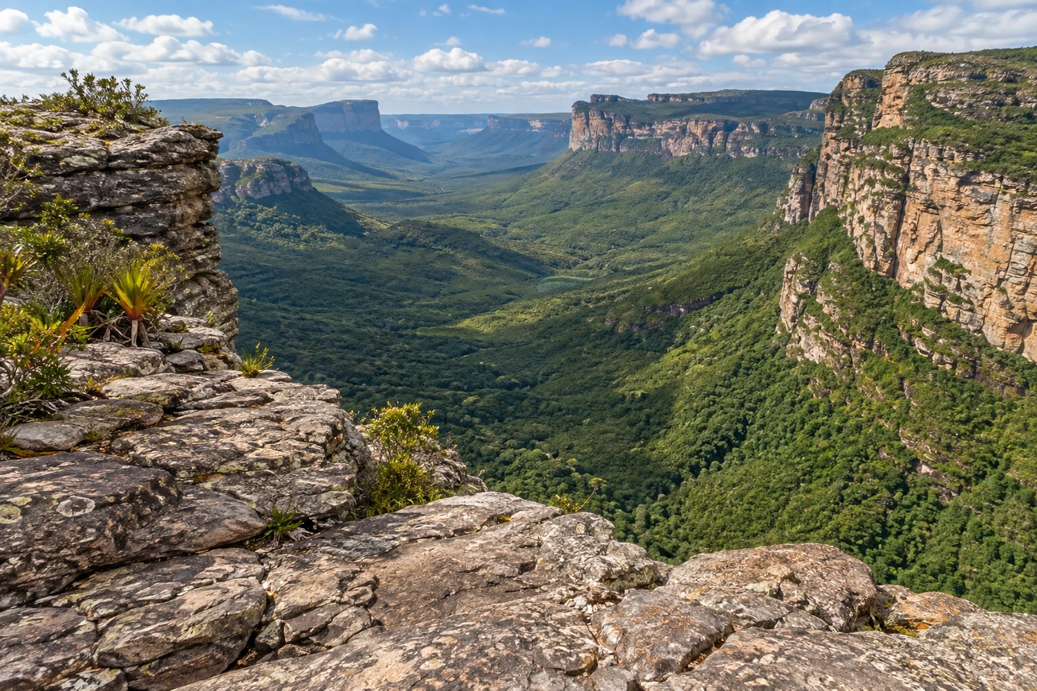
A viewpoint in Parque Nacional da Chapada Diamantina overlooking the Paraguaçu River valley, where it meets the Pati River. Access is by a trail of about 7.5 km from the village of Igatu.
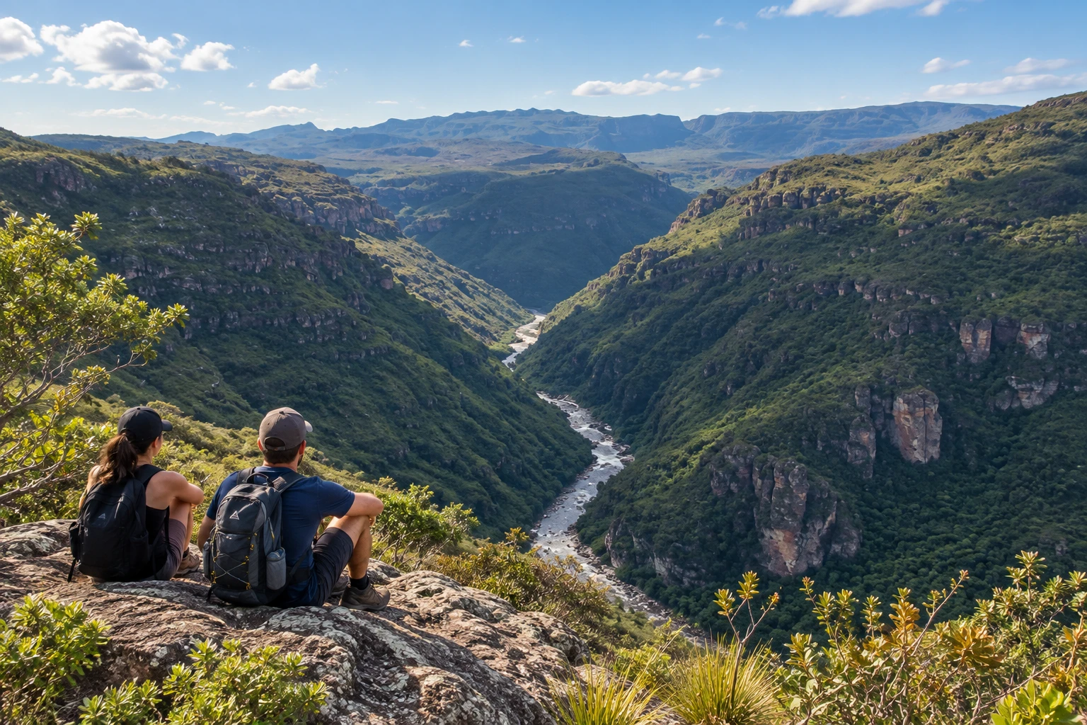
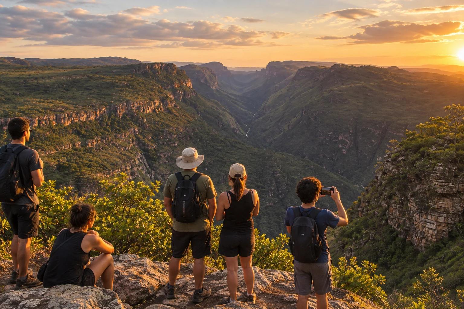
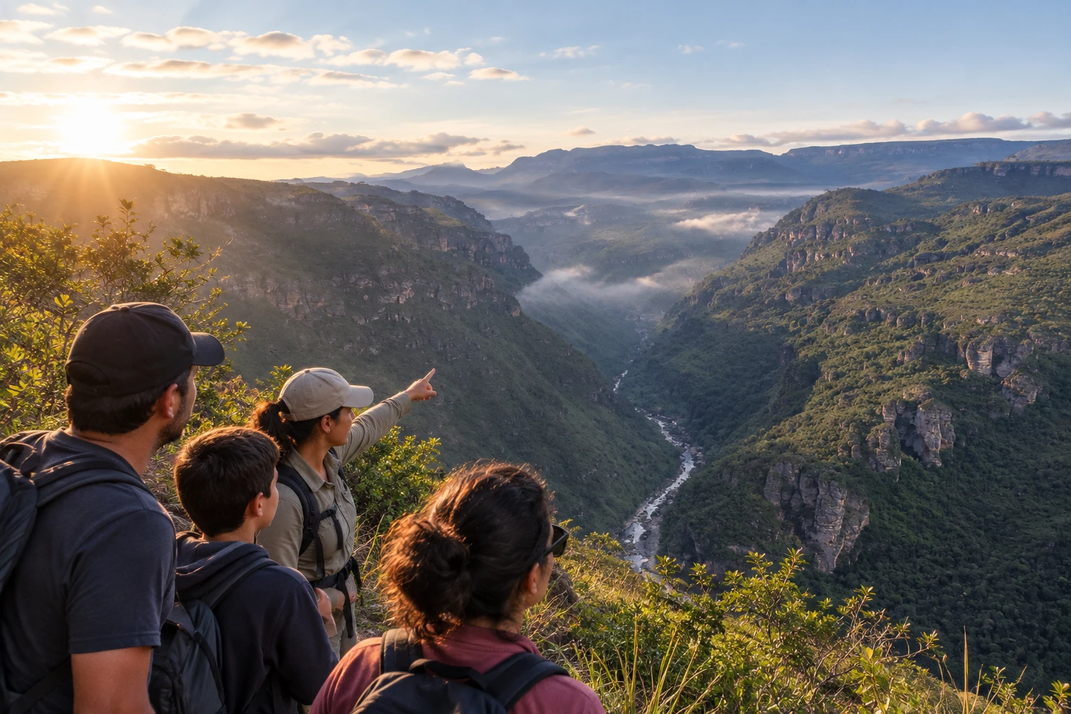
Illustrative images. The pictures in this guide are illustrations based on the real place, not photographs, and may differ from it.
Discover
About Rampa do Caim
Rampa do Caim is a natural viewpoint in Parque Nacional da Chapada Diamantina, near the village of Igatu, in Andaraí. It sits at the edge of a rock wall and is considered one of the most beautiful views in the Chapada.
From the top you see Vale do Pati and the Paraguaçu River canyon, in the area where the Pati River meets the Paraguaçu. The landscape is one of cliffs, hills and forest far below, with the river running along the bottom of the canyon.
The path leaves from Igatu, a former diamond-mining village, and crosses rocky fields, high-altitude vegetation and stone shelters used by miners. The trail is also used by hikers trekking on foot to Vale do Pati or to Andaraí.
It is an outing for people who are fit and used to hiking. The ground has many loose rocks and stretches with poorly marked forks, so going with a local guide is recommended. It is not accessible for wheelchairs or for people with reduced mobility.
Before you go
Practical information
How much time to set aside
Set aside the whole day: the hike from Igatu takes a few hours each way, plus time to take in the view.
Best time
On dry days with clear skies, when the trail is less slippery and the view of the canyon is wider. Leave Igatu early to hike before the strong heat and get back in daylight.
How to get there
The starting point is the village of Igatu, a district of Andaraí, in Chapada Diamantina (BA). Igatu is reached by road from Andaraí. From the village, the trail continues on foot to the edge of the canyon; since there are forks, it is best to go with a guide hired in Igatu or Andaraí.
Tip
Wear hiking boots or trail shoes with good grip, because the path has loose, slippery rocks, and bring water, snacks and a rain jacket, since the weather changes fast in the mountains (sources: Mochileiros.com and the blog A Mochila e o Mundo).
A look at the place
Rampa do Caim in pictures
These pictures are illustrations based on the real place, not photographs. They may differ from the place.
Click the picture to enlarge it.
Get your questions answered
Frequently asked questions about Rampa do Caim
Do I need a guide to go to Rampa do Caim?
It is recommended. The trail has forks and poorly marked stretches, and local guides can be hired in Igatu or Andaraí.
How long does the Rampa do Caim hike take?
Visitor reports suggest two to three and a half hours one way from Igatu. Set aside the whole day.
Is the Rampa do Caim trail difficult?
It is moderate to difficult, with loose, slippery rocks. It requires good fitness and hiking shoes.
What can you see from Rampa do Caim?
Vale do Pati and the Paraguaçu River canyon, in the area where the Pati River meets the Paraguaçu.
Where does the trail to Rampa do Caim start?
In the village of Igatu, in Andaraí, in Chapada Diamantina (BA).