

 Antarctica
 Argentina
 Bolivia
 Chile
 Colombia
 Ecuador
 Guyana
 French Guiana
 Falkland Islands (Malvinas)
 Paraguay
 Peru
 Suriname
 Uruguay
 Venezuela
 Germany
 Austria
 Belgium
 Croatia
 Denmark
 Slovakia
 Slovenia
 Spain
 Finland
 France
 Greece
 the Netherlands
 Hungary
 Ireland
 Iceland
 Italy
 Luxembourg
 Norway
 Poland
 Portugal
 the United Kingdom
 the Czech Republic
 Sweden
 Switzerland
 Turkey
 Bermuda
 Canada
 the United States
 Greenland
 Mexico
 Saint Pierre and Miquelon
 the Dominican Republic
 Japan
 South Africa
 Egypt
 Australia
 Fiji
 New Zealand
 Papua New Guinea
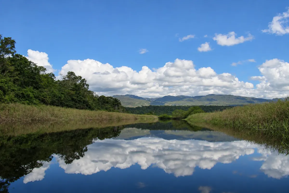
flooded area · Andaraí, BA
Pantanal de Marimbus
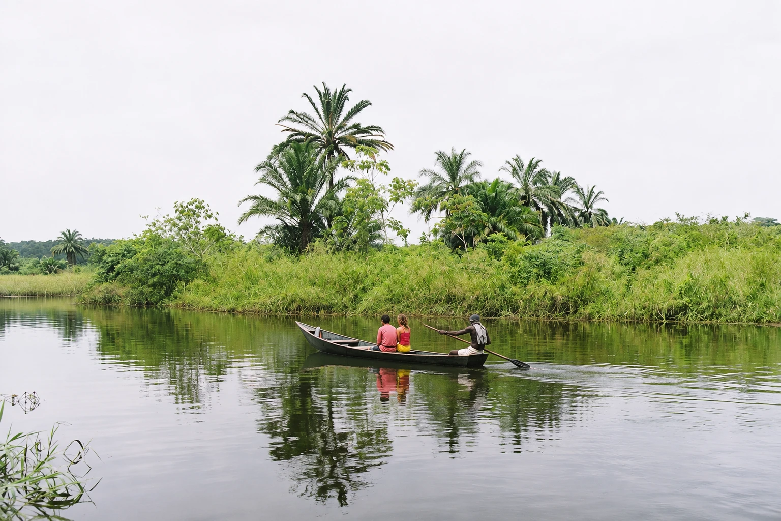
Floodplain between Andaraí and Lençóis, formed by rivers descending from the Chapada Diamantina, with lagoons connected by channels and aquatic plants. The trip is by canoe, guided, among birds, capybaras and caimans.
In the photo: Marimbus channel with the Chapada Diamantina plateau in the background.
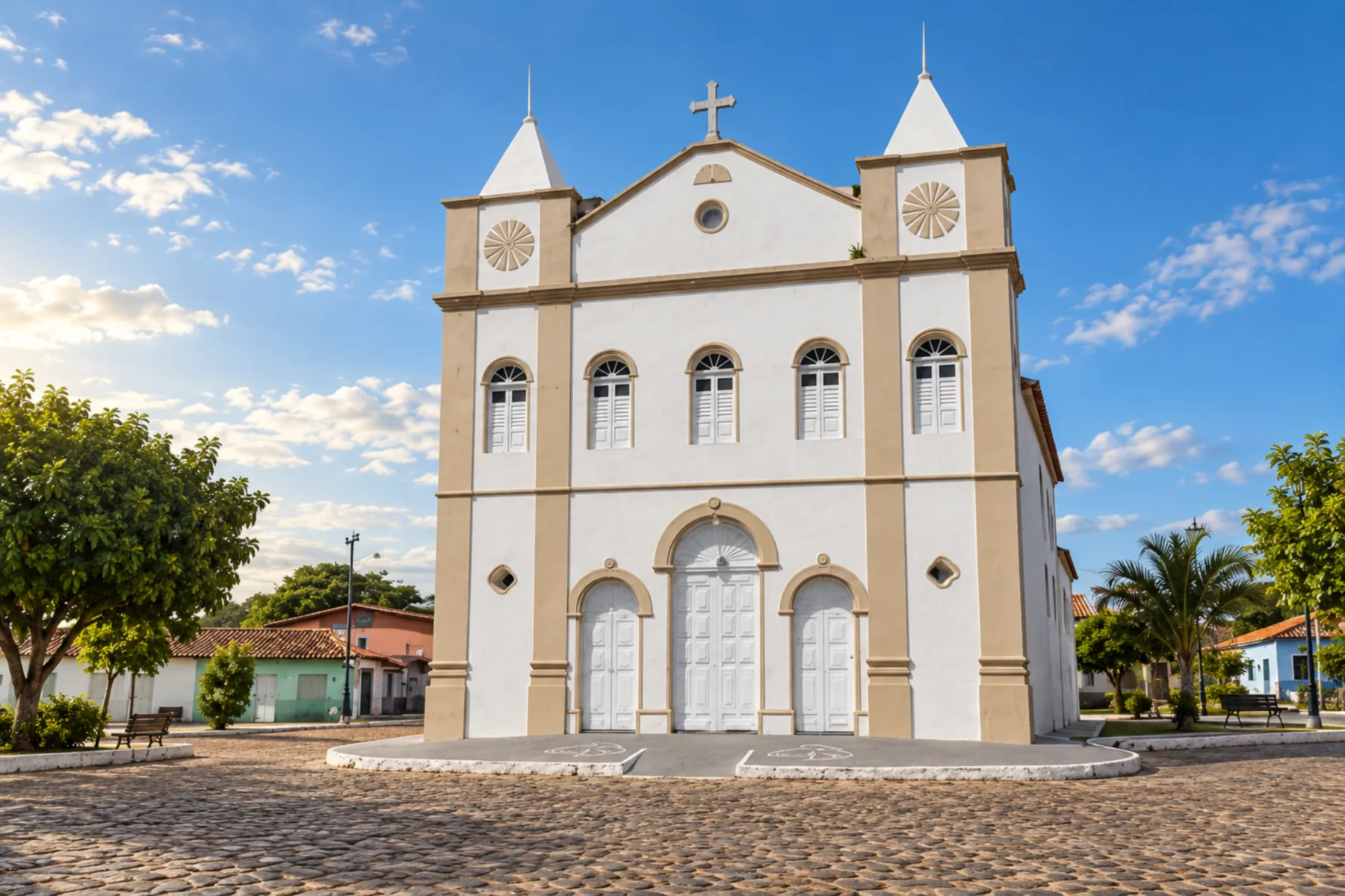
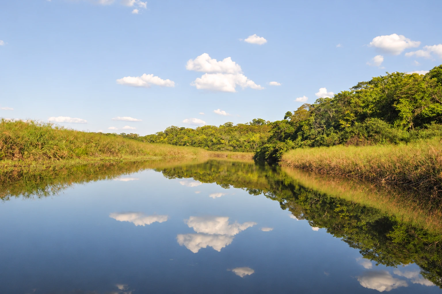
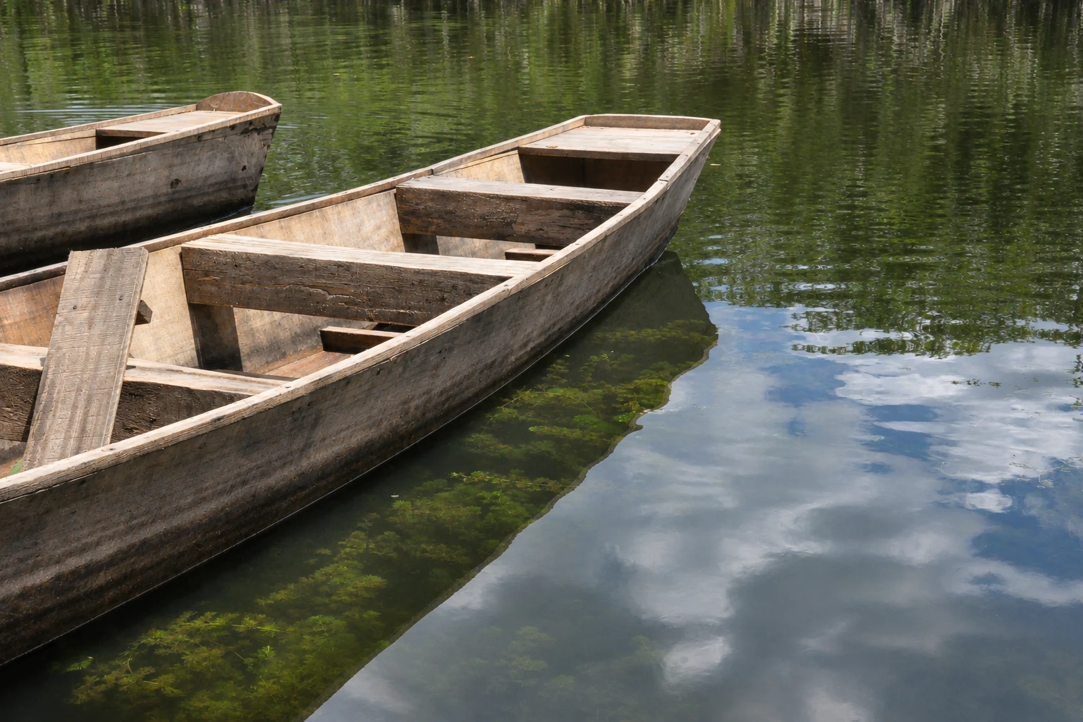
Illustrative images. The pictures in this guide are illustrations based on the real place, not photographs, and may differ from it.


A look at the place
Pantanal de Marimbus in pictures
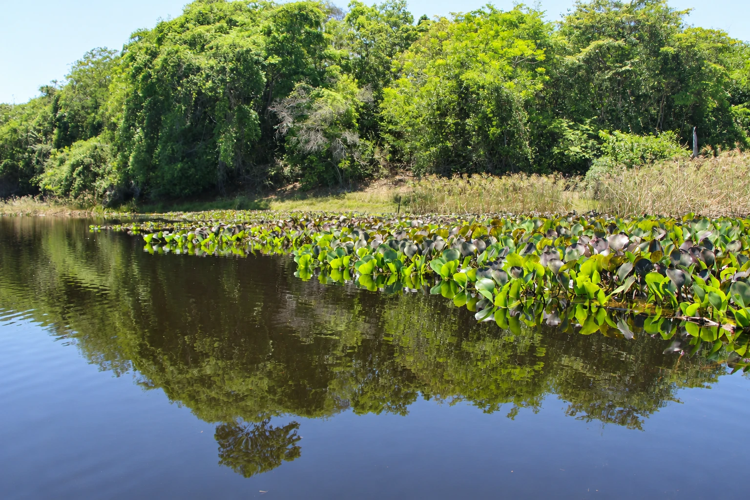
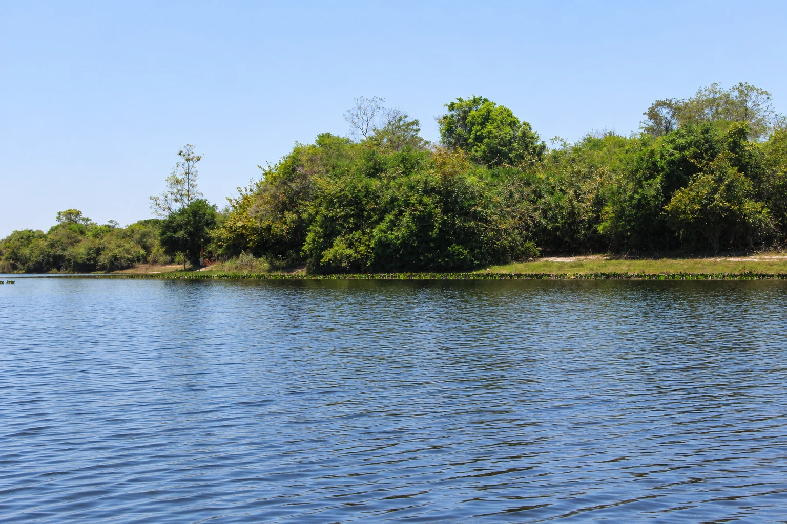
These pictures are illustrations based on the real place, not photographs. They may differ from the place.
Click the picture to enlarge it.
Discover
About Pantanal de Marimbus
The Marimbus wetland is a large flooded area at the foot of the Chapada Diamantina, between the municipalities of Andaraí and Lençóis. Rivers that flow down from the plateau, such as the Santo Antônio, lose speed when they reach the plain and spread into lagoons and channels connected to one another, much of them covered by aquatic vegetation. The landscape is reminiscent of the Pantanal in the Central-West region, which is why locals call it a pantanal, or the Chapada’s “mini Pantanal.”
The area is often divided into sections with their own names, such as Marimbus do Remanso, on the Lençóis side, and Marimbus do Baiano, on the Andaraí side. All of it lies within the Marimbus-Iraquara Environmental Protection Area, created by the Bahia state government in 1993, which also extends into the municipalities of Palmeiras, Iraquara and Seabra.
The trip is done in a paddle canoe, guided by local residents who know the channels. The canoe glides slowly through the vegetation, and the silence helps you observe wildlife: water birds are the most commonly seen, and with luck you may spot capybaras and caimans on the banks. What you see depends on the season and the time of day.
On the Andaraí side, the boarding point is on the Praião road, a few kilometers from town. On the Lençóis side, trips depart from the Remanso quilombola community and often finish with a short walk to the natural pools of the Roncador River.
The water’s dark, tea-like color comes from organic matter in the vegetation, as in other rivers of the Chapada. Lagoon levels rise in the rainy season and fall in the dry season, which changes the possible canoe routes.
Before you go
Practical information
Cidade Turismo reviews its information regularly, but something may have changed. Check with the place before planning your trip.
How much time to set aside
2 to 3 hours for the canoe trip. From the Lençóis side, including the walk to the Roncador River, the outing usually takes half a day.
Best time
Early morning or late afternoon, when the light is softer and birds tend to be more active. Rain in the Chapada Diamantina is concentrated from November to March, when the lagoons are fuller; from April to October the weather is drier.
How to get there
From downtown Andaraí, follow the Praião road to the boarding point on the Andaraí side, about 5 km away. Access is by dirt road; go by car or with transport arranged with the guide or agency. From Lençóis, trips leave from the Remanso community, about 20 km from town.
Tip
Take the trip with a local guide who knows the channels and the birds. Bring a hat, sunscreen, insect repellent and binoculars, and keep quiet in the canoe to increase your chances of seeing wildlife.
Get your questions answered
Frequently asked questions about Pantanal de Marimbus
What is the Marimbus wetland?
A large flooded area at the foot of the Chapada Diamantina, between Andaraí and Lençóis, formed by lagoons and channels from rivers flowing down the plateau. The landscape resembles the Central-West Pantanal, hence the name.
What is the trip in Marimbus like?
It’s done in a paddle canoe with a local guide, among channels and aquatic plants. It lasts 2 to 3 hours and is good for birdwatching; capybaras and caimans sometimes appear.
Can you visit Marimbus from Andaraí?
Yes. On the Andaraí side, the boarding point is on the Praião road, about 5 km from town. On the Lençóis side, trips depart from the Remanso community.
Do you need a guide for Marimbus?
Yes. The trip is done with local guides who paddle the canoe and know the channels.
What is the best time to visit Marimbus?
It can be visited year-round. In the rainy season, from November to March, the lagoons are fuller; from April to October the weather is drier. Prefer early morning or late afternoon.
Beyond the guide


