
waterfall · Andaraí, BA
Cachoeira do Ramalho
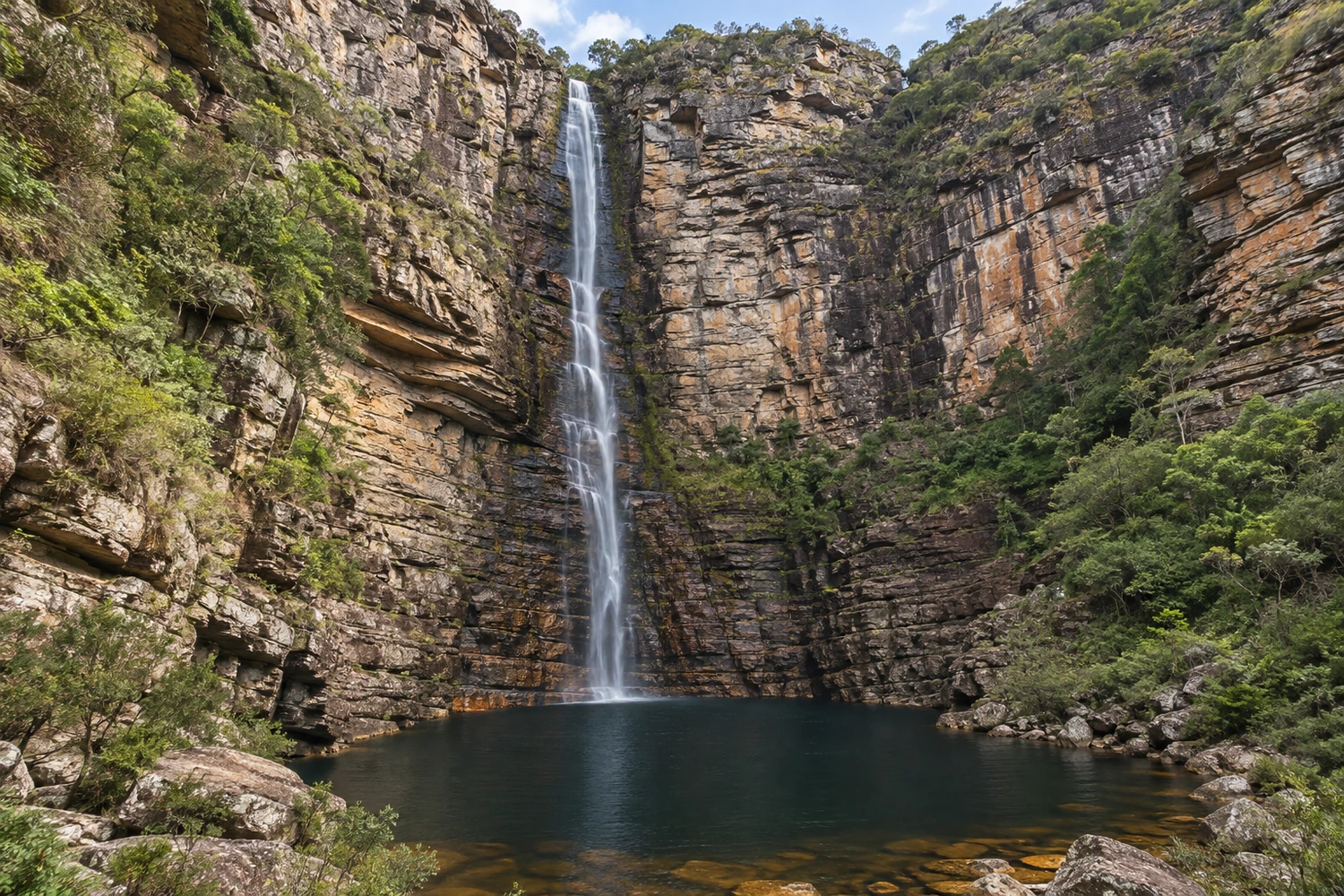
A waterfall of about 90 meters in Parque Nacional da Chapada Diamantina, reached by a trail of roughly two hours through the Baiano River canyon. The path passes traces of old mining and Poço do Fervedor, and the volume drops in the dry season.
Illustrative images. The pictures in this guide are illustrations based on the real place, not photographs, and may differ from it.
Discover
About Cachoeira do Ramalho
Cachoeira do Ramalho is one of the tallest and best-known waterfalls in Andaraí, in Chapada Diamantina. It is inside Parque Nacional da Chapada Diamantina, on the right bank of the Baiano River, northwest of town. You can only get there on foot.
The area was heavily worked by diamond miners. At points along the way you can still see traces of that era. The waterfall itself was carved by the water into conglomerate and sandstone rock.
The most common trail is the one known as "por baixo" (from below), which follows the Baiano River valley to the base of the falls. Along the way there are wider, calmer stretches of the river, such as Poço do Fervedor, where you can stop and cool off. At the end, the water falls in a wide veil down the mountain wall and forms a pool of cold water.
The outing requires moderate fitness: there are climbs, descents and rocky stretches, and the trail is not always well marked. It is best for people who already have some hiking experience. It is not accessible for people with reduced mobility.
Before you go
Practical information
How much time to set aside
Set aside the whole day to go, enjoy the waterfall and come back at an easy pace.
Best time
In the rainy season, when the falls have more water; in the dry season the volume drops a lot. Leave early to walk before the worst of the heat.
How to get there
The trail leaves from Andaraí and continues on foot through the Baiano River valley, inside Parque Nacional da Chapada Diamantina. There is no car access to the waterfall. Since the path is poorly marked, the safest option is to go with a local guide.
Tip
Bring plenty of water and snacks, and wear long pants to protect yourself from branches and thorns; visitors also recommend hiring a local guide, because the trail is not well marked (sources: Tripadvisor and Janoo).
A look at the place
Cachoeira do Ramalho in pictures
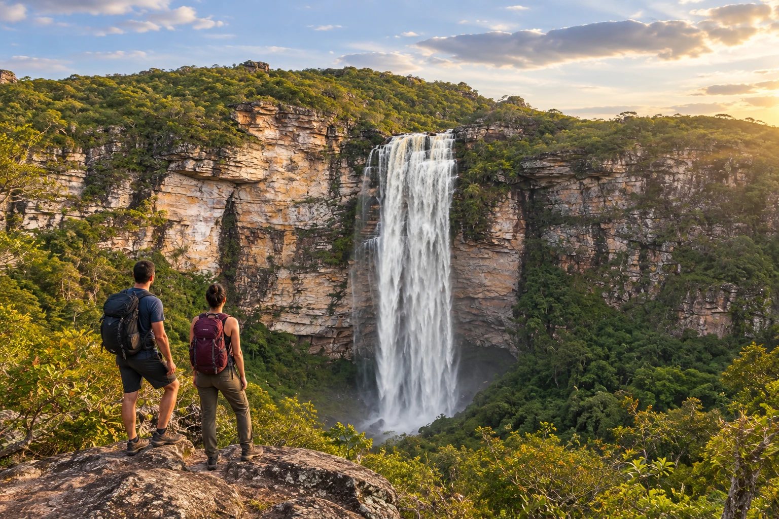
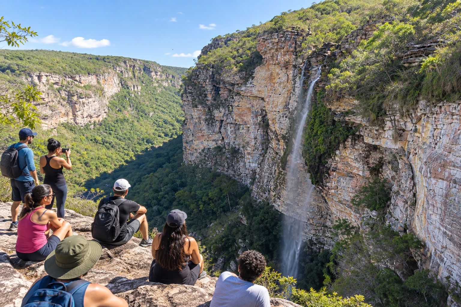
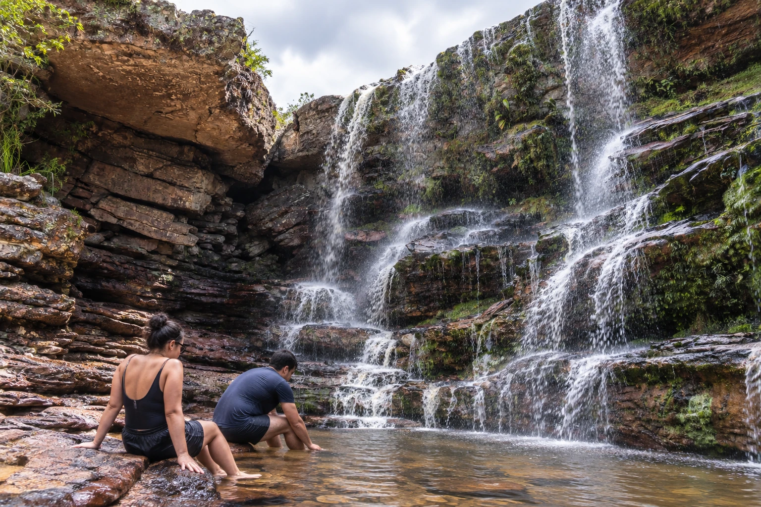
These pictures are illustrations based on the real place, not photographs. They may differ from the place.
Click the picture to enlarge it.
Get your questions answered
Frequently asked questions about Cachoeira do Ramalho
Do I need a guide to go to Cachoeira do Ramalho?
Going with a local guide is recommended, because the trail is poorly marked and, in many stretches, not even defined.
What is the trail to Cachoeira do Ramalho like?
It is a moderate hike through the Baiano River valley, with climbs, descents and rocky stretches. It passes traces of old mining and Poço do Fervedor.
Can you swim at Cachoeira do Ramalho?
Yes. There is a cold-water pool at the base of the falls, and along the way Poço do Fervedor has calm stretches of water for swimming.
When is the best time to visit Cachoeira do Ramalho?
The rainy season, when the falls have more water. In the dry season the volume drops a lot.
Can you drive to Cachoeira do Ramalho?
No. The waterfall is inside Parque Nacional da Chapada Diamantina and can only be reached on foot, by a trail that leaves from Andaraí.