

 Antarctica
 Argentina
 Bolivia
 Chile
 Colombia
 Ecuador
 Guyana
 French Guiana
 Falkland Islands (Malvinas)
 Paraguay
 Peru
 Suriname
 Uruguay
 Venezuela
 Germany
 Austria
 Belgium
 Croatia
 Denmark
 Slovakia
 Slovenia
 Spain
 Finland
 France
 Greece
 the Netherlands
 Hungary
 Ireland
 Iceland
 Italy
 Luxembourg
 Norway
 Poland
 Portugal
 the United Kingdom
 the Czech Republic
 Sweden
 Switzerland
 Turkey
 Bermuda
 Canada
 the United States
 Mexico
 the Dominican Republic
 South Africa
 Egypt
 Australia
 Fiji
 New Zealand
 Papua New Guinea




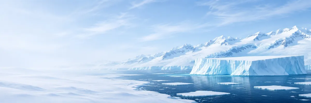
The Terra Australis of old maps
Long before anyone saw it, Antarctica already existed on maps. Greek geographers imagined a land in the south that balanced the known lands of the north, and the idea crossed the Middle Ages under the Latin name Terra Australis Incognita, the unknown southern land.
In the 16th century, cartographers such as Gerardus Mercator and Abraham Ortelius drew that huge imaginary continent, occupying almost the entire southern portion of the map and approaching South America and New Guinea. Ortelius’s 1570 atlas is one of the best-known examples.
With each voyage that went farther south without finding land, the continent on the maps shrank. Tierra del Fuego, which some thought was its tip, proved to be an island when the Dutchman Willem Schouten rounded Cape Horn in 1616.
The name comes from the Greek antarktikós, “opposite the Arctic.” Arctic, in turn, comes from árktos, bear: it is the region under the constellation of the Great Bear, in the northern sky.

